- Joined
- Dec 23, 2013
- Messages
- 4,124
The Wyoming Range.
Why the Wyoming Range? Good question.
Last year, @Bob had sent me some routes that he created in CalTopo of potential future backpacking trips. One of the routes, was along the Wyoming Range Trail, which is a National Recreation Trail, that runs just off the ridge of a majority of the Wyoming Range.
Now as most on this forum know, I tend to lean towards Yellowstone when it comes to spending my time in the backcountry, with an occasional foray into wilderness areas that tend to be near or adjacent to the Park. You see, I need my grizzly bear fix, so when I use up my vacation time from work, I need there to be a reasonable possibility of seeing a bear, or signs of bear, as a major part of the criteria I use as to where I am going. So the first thing I did was to look up if there were grizzlies in the Wyoming Range. It turns out that there have been four confirmed sightings in the range as of 2020, and the Interagency Grizzly Bear Committee includes the range in their current distribution, so that was good enough for me, and thus I began to lean towards a trip to the Wyoming Range.
Now, I knew absolutely nothing of the Wyoming Range before this trip. I had seen bits of it as I drove through and out of Star Valley before, but only between gaps in the Salt River Range. I also had seen them off in the distance to the west when I drove home from Yellowstone along highway 189 from Hoback Junction south to Kemmerer, but I haven't taken that route in 25 years.
So once we decided on the Wyoming Range, I sat down and digitized the Wyoming Range Trail off of the 7.5 minute USGS topographic maps, then created a KMZ for it and opened it up in Google Earth. I soon realized that the map and Google Earth didn't quite marry up, so I digitized the trail on Google Earth, and then imported that into my topographic map. At that point, I created waypoints on my old Magellan eXplorist 500. Recording a point every 0.20 mile for the length of the trail - from south to north.
Now I guess this would be a good time to give some details on the trail and maybe the range too. The south end actually starts in Snider Basin along South Piney Creek and works its way up to the high country, heading north, all the way to the Willow Creek Trailhead, which is located just south of Hoback Junction. The range itself extends from just northwest of Kemmerer in the south, to Hoback in the north. The range is located to the west of 189, and east of the Salt River Range which forms the eastern edge of Star Valley in Wyoming. The range is fairly remote, especially the further south you go. For instance, it was approximately 22 miles from Daniel Junction to a washed out bridge where we shuttled vehicles to, mostly on county and forest service gravel/dirt roads.
Even though the official trail starts in Snider Basin, we chose to start at Middle Piney Reservoir instead. Have to ask Bob on that. But, we found out that they had been working on the dam of the reservoir, and they would not let anyone park overnight there, so we would have to move one drainage to the north, the Straight Creek Trailhead, to start our trek.
Now in the final days leading up to our trip, @Dreamer decide to join us for the first five nights He had to report to work on Thursday, so he'd exit down North Horse Creek on Wednesday while Bob and I would continue on to the Willow Creek Trailhead. Unfortunately, our plans all came crashing down on day one and we had to change our agenda for the remainder of our trip.
Scatman trip facts:
- two cameras taken
1. Canon EOS 70D
2. Canon PowerShot SX710 HS
- I took a total of 2104 shots, pretty evenly distributed between the two cameras
- My pack (includes water and cameras) weighed in at a hefty 51 pounds for what was supposed to be a nine day trip
Now, this is going to be a long report, so pop some popcorn, pull up a chair, relax and enjoy, or not enjoy if you so choose.
Here we go!
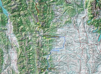
Final Trip Overview Map
Day 1 - Drive from Salt Lake to Willow Creek Trailhead, Shuttle vehicles, backpack into camp along the Straight Creek Trail
I woke up at 4:30 AM on the 26th of June and headed north at 5:30 AM to meet Bob at the Willow Creek Trailhead, located about six miles southeast of Hoback Junction (Turn by the fiberglass moose ). I arrived just before ten o'clock, and it began to rain while I waited.
Bob showed up about half an hour later, we moved my gear to his truck, and we were off to meet Dreamer at Daniel Junction, to shuttle his truck to a bridge on North Horse Creek that had been closed due to a wash out. After dropping his vehicle off, we all piled into Bob's truck and headed back to Daniel Junction for lunch at The Bear Den. From there, we drove to the Straight Creek Trailhead, located about 23 miles west/northwest of Big Piney, to start our adventure.
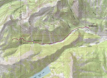
Day one overview map
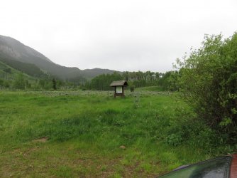
The information sign at the Willow Creek Trailhead
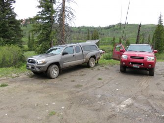
Dropping off Dreamer's vehicle at the bridge on North Horse Creek
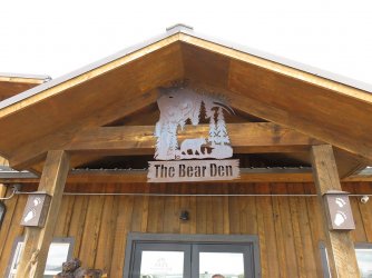
Lunch at The Bear Den. I had the bison burger, which was very good.
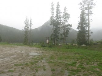
Conditions at the Straight Creek Trailhead when we arrived - pouring rain with some hail mixed in, and snow at the higher elevations
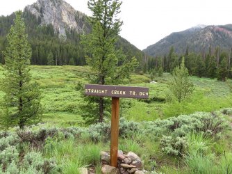
Looks like we are heading the right direction
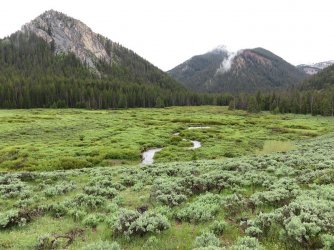
The storm let up after about an hour and we were off - departure time was about 3:30 pm, with Straight Creek below
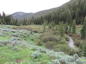
View along Straight Creek
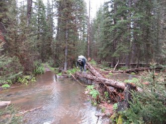
Bob, crossing Lake Fork Creek
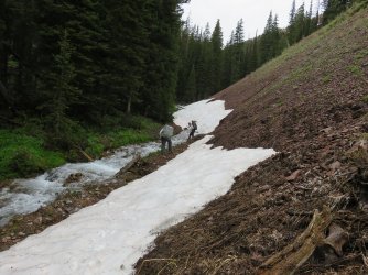
Beginning to hit some snow as we gain elevation
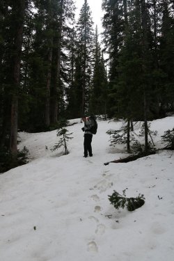
Eventually, we had to deal with to much snow. I was beginning to posthole, the temp
had dropped to 39 degrees, and my feet were wet and freezing. The trail was also
becoming difficult to follow, so we made a decision to turn around, hike down below
snowline and set up camp, and discuss our options going forward.
We arrived at our camp late in the day, so we set up our tents, ate and hit the sack.
Day 2 - Hike back to trailhead, drive north to North Horse Creek, backpack up North Horse Creek
Ate our breakfast, packed up our gear, and headed back to the Straight Creek Trailhead.
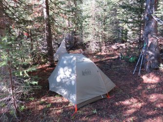
Mine and Dreamer's tents on the morning of day two
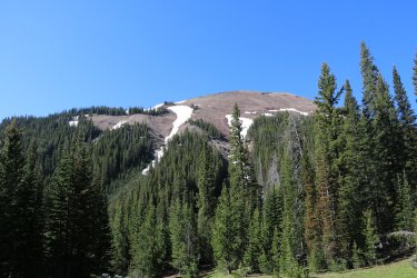
View south from our campsite, looking up towards peak 10626
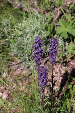
Silky phacelia
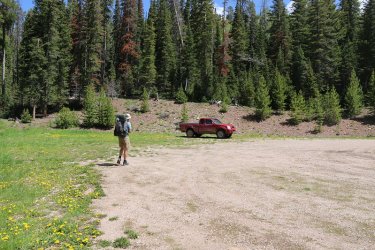
Dreamer arrives back at the trailhead. Time for a drive.
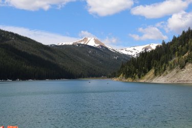
First, we drove up to Middle Piney Lake
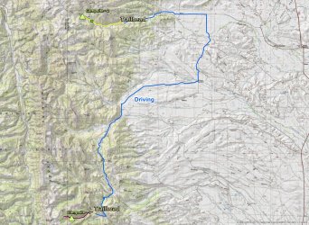
Overview map of day 2 - back to the trailhead, drive north along Forest Road 10046, eventually reaching Dreamer's truck on North Horse Creek, hiking in a few miles to set up camp.
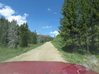
The drive north on FS 10046
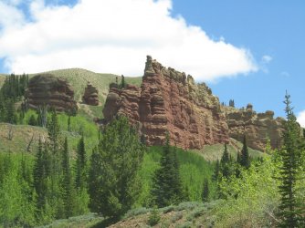
View from the road
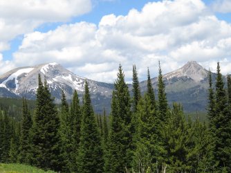
View up the Lunch Creek Drainage
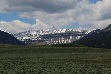
View from South Cottonwood Creek
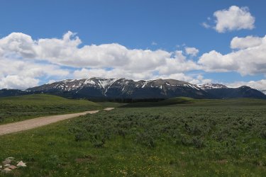
FS Road heading towards Soda Lake
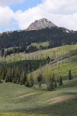
Looking back on Peak 10896 (Bare Mountain)
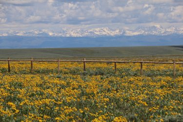
Now here is a view. Arrowleaf balsamroot as far as one can see, with the Wind Rivers as a backdrop - The High and Lonesome Ranch
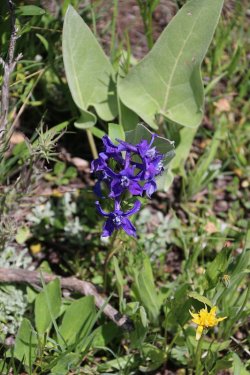
Larkspur too
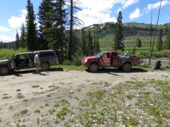
Back at North Horse Creek. Because the bridge was closed, we had to hike up about three miles of road to reach the official trail-
head
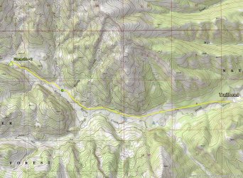
Overview map of day two - to campsite on North Horse Creek. The little green dot is for you @Rockskipper, signifying our crossing of Mule Creek.
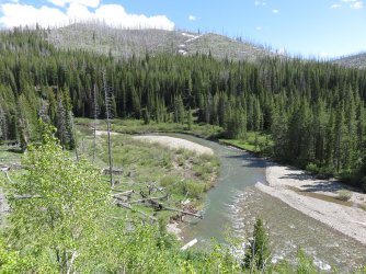
North Horse Creek viewed from FS Road 10389
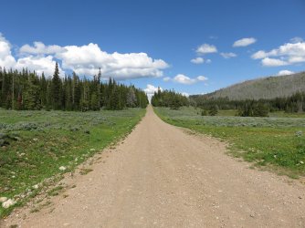
The lonesome road.
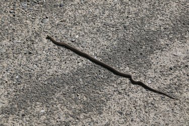
The only one using the road besides us
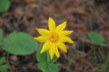
Heart leafed arnica by the roadside
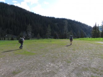
Arriving at the official trailhead. At least we think we have as there was no signage.
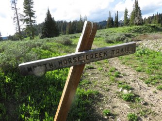
Must be the right place
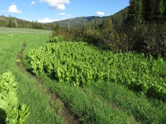
California corn lily
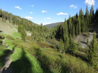
North Horse Creek below. We saw a moose just before reaching camp. It took off as soon as we saw it, so no picture.
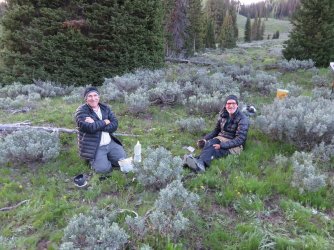
Bob and Dreamer getting ready to eat on night number two
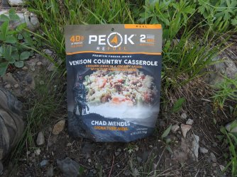
My meal for the night was Peak's Venison Country Casserole, which I quite liked.
Day 3 - Camp on North Horse Creek to campsite on Third Creek
Up around 7:00 AM and headed further up North Horse Creek. Today, we would finally reach the Wyoming Range Trail which had just alluded us on day one due to the snow. A perfect day for us weather wise and the hiking was enjoyable. Once in the high country, spring beauties just took over. They were everywhere.
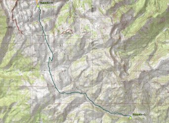
Overview map of day three
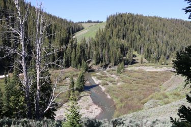
More North Horse Creek
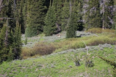
Our first deer sighting
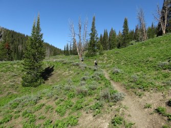
Still working our way up North Horse Creek
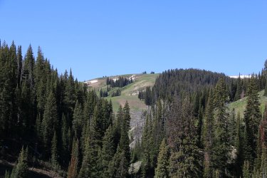
View up into the high country
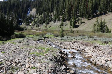
County Creek
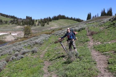
That way to the Wyoming Rang Trail. We went straight instead.
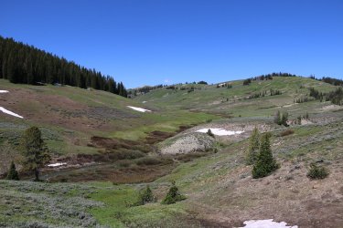
Looking up a draw of a tributary of North Horse Creek
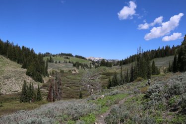
Below, the willows of North Horse Creek
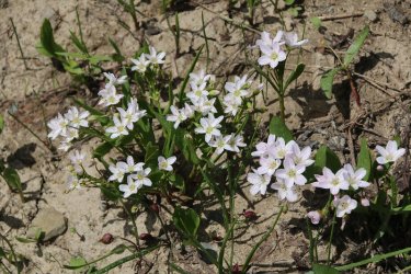
Staring to see quite a few spring beauties at this point. Soon, they would take over
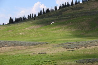
Our first sighting of the Wyoming Range Trail
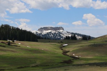
Forest Service Cabin with a view. Looking back towards Mount McDougal
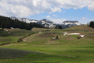
Another shot of the cabin
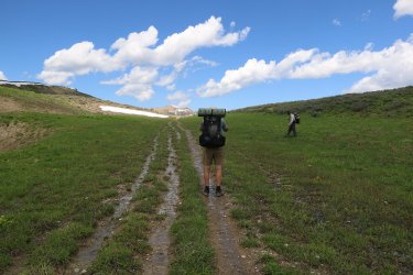
On the Wyoming Range Trail!
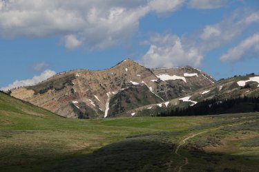
Deadman Mountain, with the Wyoming Range Trail below
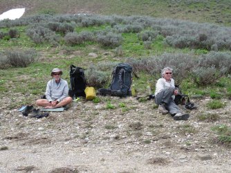
Break time!
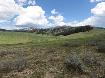
View to the northeast from out break location
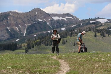
Whelp, time to get moving
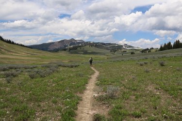
Third Creek, here we come.
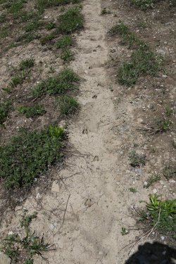
Deer track on the trail. The deer in the range had a very hard winter.
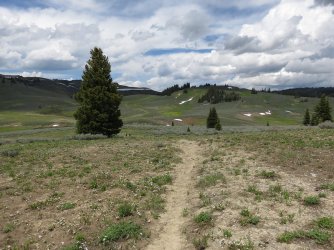
View to the north
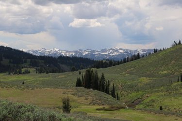
View to the west towards the Salt River Range
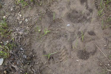
A @Dreamer track?
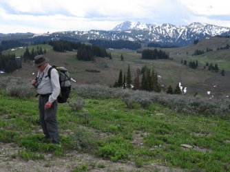
A Bob sighting.
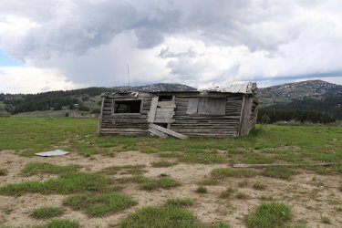
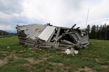
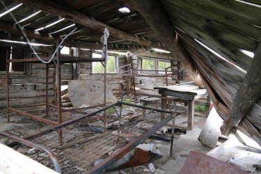
An old cabin
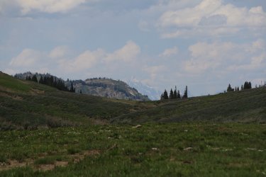
Can just barely make out the Tetons from the cabin
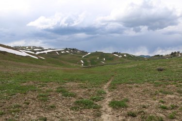
First Creek up ahead
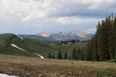
View to the northeast as we near our campsite on Third Creek
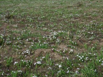
This picture doesn't due it justice, but the spring beauties were really beautiful
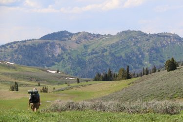
Dreamer, dropping down into the Third Creek Drainage
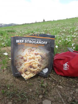
Dinner for night number three. I believe that this is my favorite freeze-dried meal
Day 4 - From campsite on Third Creek to campsite on shelf above Pickle Pass
This was the toughest day I thought. The climb up from Little Greys River, heading towards Pickle Pass kicked my ass. Also, we got off on some nice elk trails and had to find our way back to the human trail a few times. The campsite above Pickle Pass was worth all the effort though.
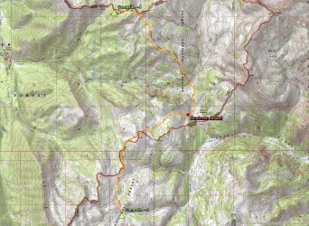
Overview map of day four
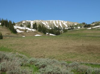
Morning view to the west from our campsite on Third Creek
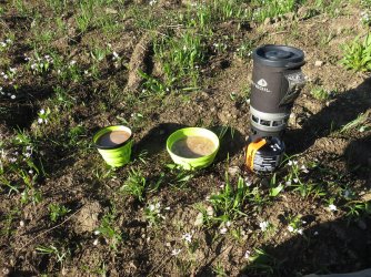
Oatmeal and cocoa ought to get me moving this morning. A circus peanut might help @TractorDoc.
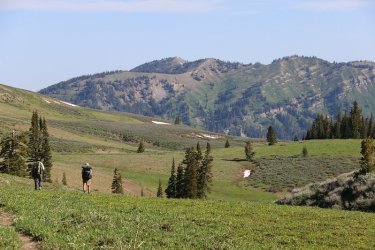
And we are off. I believe that that is the ridge ahead of us that we have to climb to get to Pickle Pass.
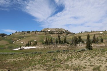
Views from the trail
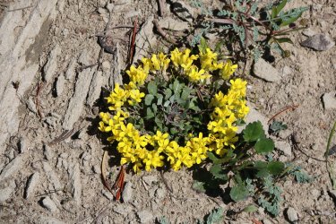
I liked how these flowers made a ring - common twinpod maybe?
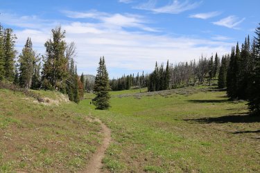
Approaching the drop down into the Little Greys River Drainage
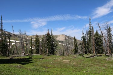
View from the trail to the west
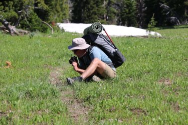
Getting a good picture
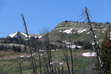
Looking back on Deadman Mountain and the fire lookout
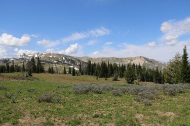
Another view of Deadman Mountain on the left
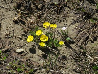
Cinquefoil
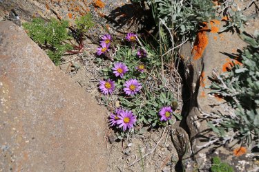
Wyoming townsend daisy
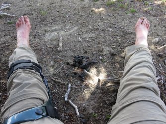
Scat, taking a break with some scat.
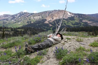
One of my favorite pictures of our trip. At peace with the world.
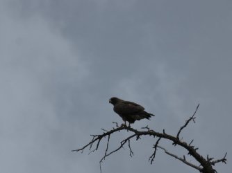
Bird of prey
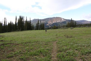
The drop off to the Little Grey's River ahead.
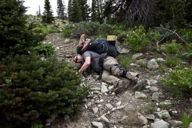
Huh oh! Scatman down! I tried hard no to fall on this trip, but the loose rock on a steep trail got me. Photo courtesy of the
Dreamer
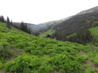
Off on one of the infamous elk trails. Also, putting our rain gear on. we should have taken a right at Albuquerque.
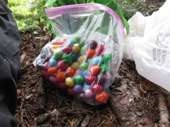
Waiting out the rain under some pine trees with M&M's in hand - almond and peanut
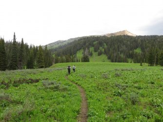
Heading back to get on the right trail
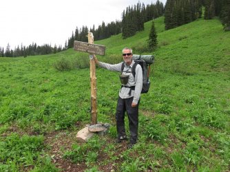
Left to Pickle Pass
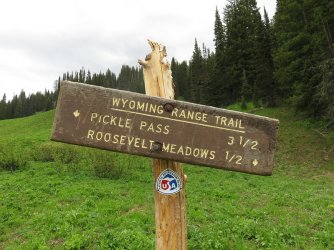
3.5 big ones!
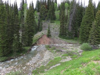
Look what is ahead, not only the Little Grey's River, but one of Bob's infamous horse trails! Straight up the hill!
You know if you backpack with Bob that you are gong to get one of these. You don't necessarily know when, but you do know
that it is only a matter of time. This was like a 1400 foot climb that didn't believe in switchbacks. My left knee is still hurting
from this one.
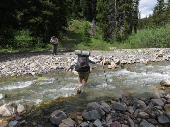
Dreamer, crossing the Little Greys River
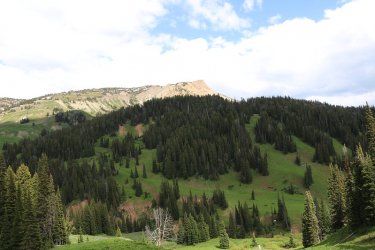
Of course gaining elevation means nice views
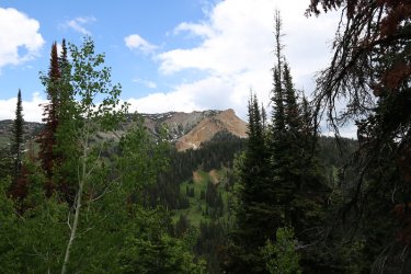
More views, looking back towards Peak 10484
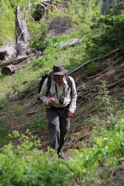
@Bob, tearing up the horse trail
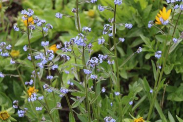
Common stickseed
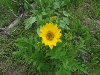
Twisted leaf balsamroot
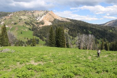
Bob, taking it all in
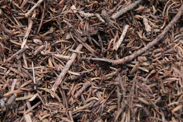
A big anthill next to the trail. I took a GPS point of it to see if I could see it on Google Earth. I haven't checked yet.
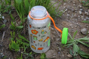
Filled my bottle with snow
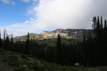
Hoback Peak
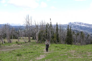
Nearing the highpoint of our climb
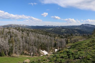
How good is that?
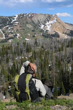
A break near the top
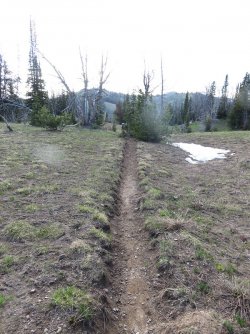
The Wyoming Range Trail
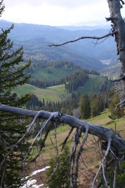
Looking down on Pickle Pass
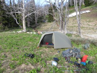
My tent at campsite number four
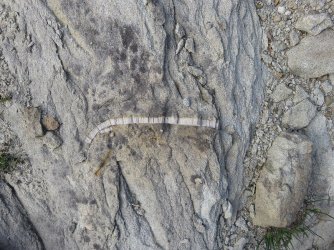
A fossil in a rock near camp
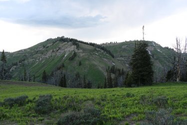
View to the west from our campsite of the east end of Grayback Ridge
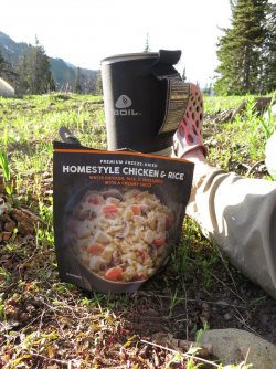
Night four's meal - very good too.
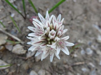
Brandegee's onion at camp
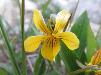
Canary violet at camp
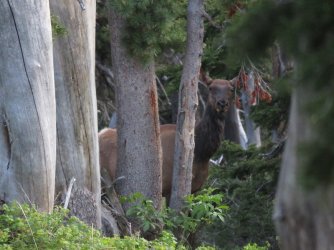
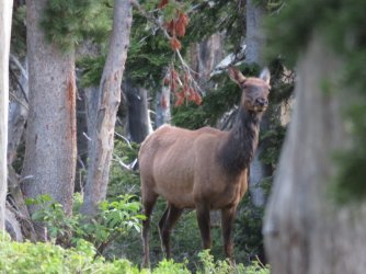
I wandered downhill from camp and saw some movement, then we stood looking at each other for a long time
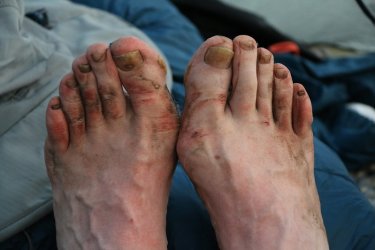
I had wet feet the entire trip and my feet got pretty torn up
Day 5 - Campsite above Pickle Pass to campsite on Willow Creek near the confluence with Hunter Creek
This turned out to be a wet day, as it started to rain on us in the afternoon, and really didn't let up until deep into the night.
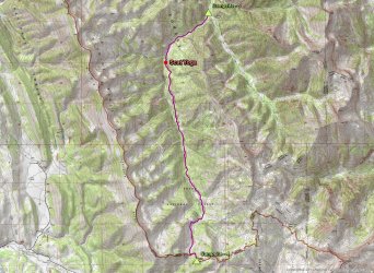
Overview map for day five
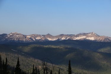
Morning shot of the Star Peaks
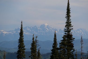
Tetons to the north
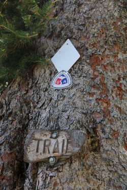
Signs at Pickle Pass
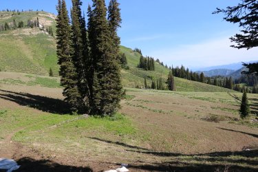
Making our way across Pickle Pass
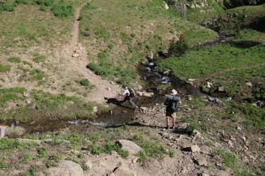
Bob stepping across the headwaters of Willow Creek
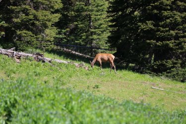
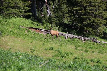
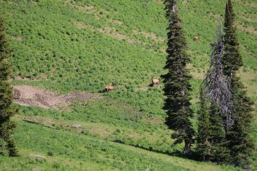
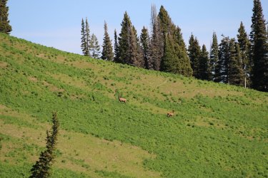
Elk
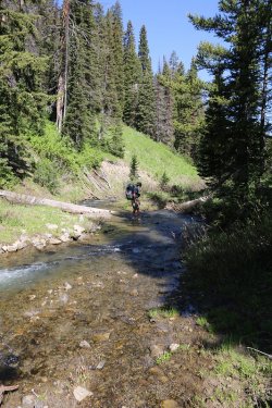
Dreamer, crossing Willow Creek, with many more crossings to come
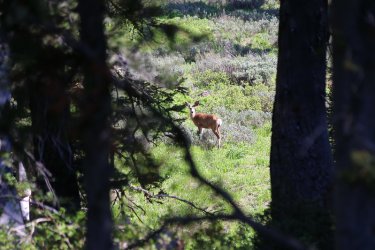
Another deer watches us from a distance
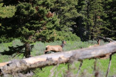
And more elk
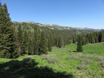
Good view of Grayback Ridge
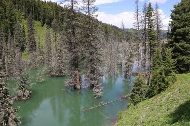
They had a landslide in the drainage a couple of years back causing Willow Creek to form a lake
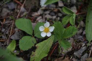
Strawberry
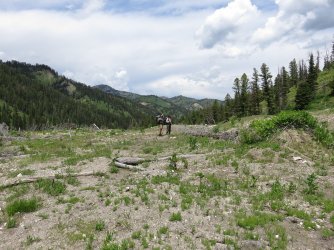
Bob and Dreamer checking out the landslide. They stand atop the debris field.
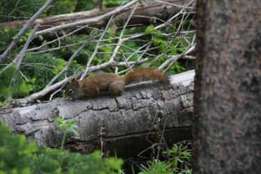
I was trying to take a picture of a chipmunk when this guy showed up.
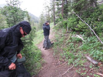
Time for rain gear again. It wouldn't stop this time.
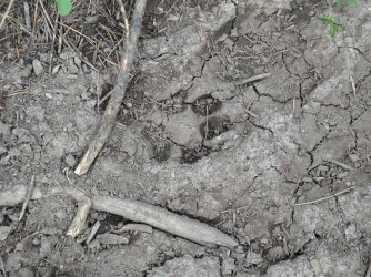
Coyote track
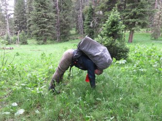
One, two, three @Rockskipper! Scatman yoga at a hunter's camp in the rain - the downward dog I believe. Notice how the pack
and the water bottle counterbalance each other.

We've hit the motherlode @Rockskipper! Horse feed at the hunter's camp. Bring Dooley as quick as you can.
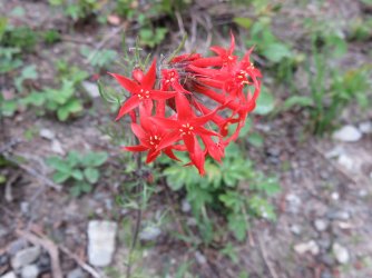
Scarlet gilia (scarlet trumpet)
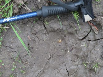
Bear tracks in the trail
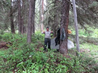
Bob's giving the thumbs up to moral I think. Or maybe he is ready to get out of the rain now that his tent is set up?
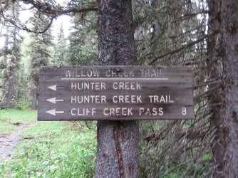
Trail sign close to camp
Day 6 - Campsite on Willow Creek to the Willow Creek Trailhead
This was a muddy day. It had stopped raining in the night, though around 9:00 PM it poured like all get out, with fierce winds. We simply made our way down Willow Creek, then up and over the ridge to leave the Willow Creek Drainage and drop down to the trailhead. The climb out of Willow Creek was special due to the hillsides being covered with mule-ears and geraniums. Absolutely worth the price of admission.
Being wet and cold, we ate some energy bars and packed up and headed out. We stopped down the trail a ways, when the sum poked out, and ate some breakfast.
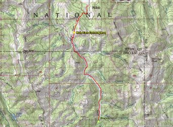
Day six overview map
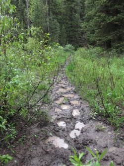
The theme for the day
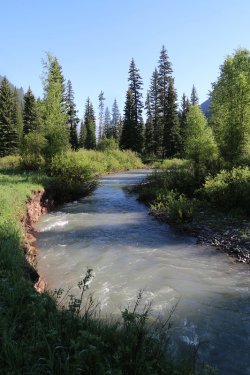
Willow Creek has grown a bit form its headwaters
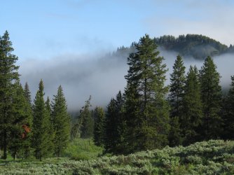
Fog lingers in the drianage
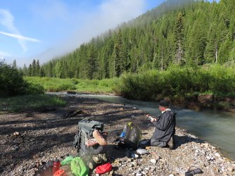
Breakfast with some sunshine on Willow Creek
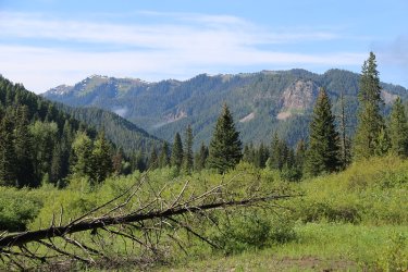
View from the trail
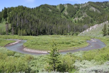
A bend in Willow Creek
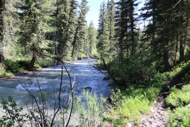
Willow Creek
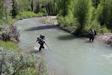
One of our many fords on day six
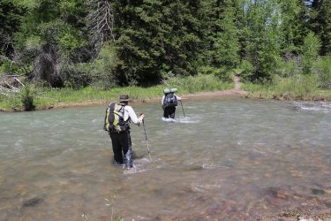
And another one
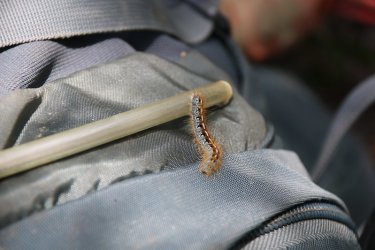
Hitchhiker! No wonder my pack weighed so much.
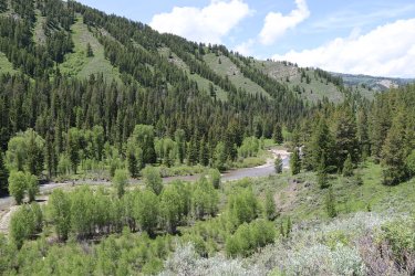
Beginning the climb out of Willow Creek
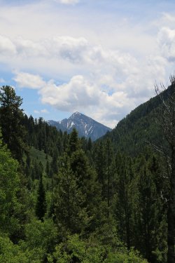
Looking back upcreek on the climb out
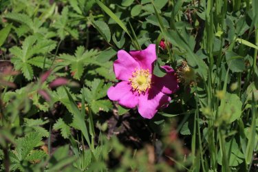
A wild rose
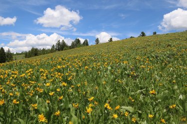
And then the main event started. Spectacular!
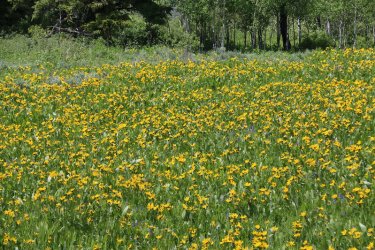
Eating it up!
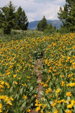
Endless
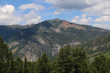
Cream Puff Peak
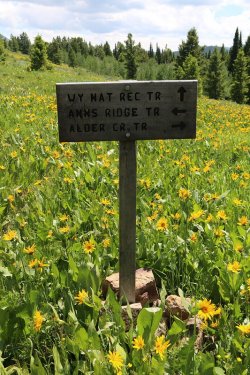
A right here I guess
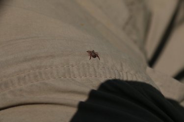
Tick!
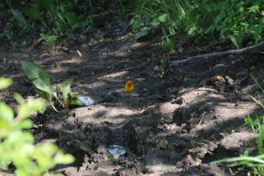
A western tanager stops for a drink on the muddy trail in front of us
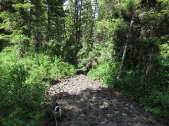
This is getting ridiculous as some horse riders and their dog approach
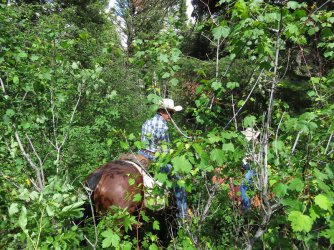
Since there was a downed tree across the muddy main trail, we met up in the shrubs. Touch and go Skipper.
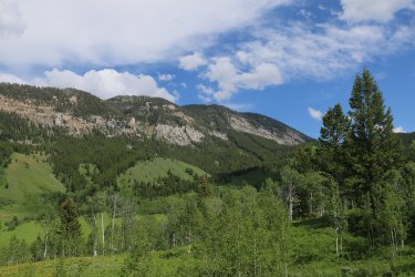
Beaver Mountain
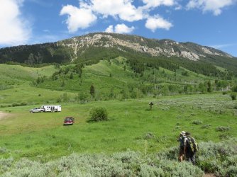
The Sube! Back at the trailhead.
Well, what a trip, with fantastic scenery and great companions. Thanks Bob and @Dreamer for making it happen.
It was a bit too rainy for my liking, but the elk and the wildflowers sure made up for it. I have never seen more sign of elk anywhere, and that includes Yellowstone. And if solitude is what you are looking for, then look no further, at least in the month of June. We only saw people near the trailheads - horse riders and day hikers. We had the interior of the range all to ourselves.
I would love to head back and take in the southern section that we missed on this one.
For those looking for a slightly different perspective on our trip, be sure and read Bob's excellent trip report here Wyoming Range
Well, if you haven't fallen asleep yet I guess you made it through. It might be time for some more popcorn. Happy trails!
The End.
Why the Wyoming Range? Good question.
Last year, @Bob had sent me some routes that he created in CalTopo of potential future backpacking trips. One of the routes, was along the Wyoming Range Trail, which is a National Recreation Trail, that runs just off the ridge of a majority of the Wyoming Range.
Now as most on this forum know, I tend to lean towards Yellowstone when it comes to spending my time in the backcountry, with an occasional foray into wilderness areas that tend to be near or adjacent to the Park. You see, I need my grizzly bear fix, so when I use up my vacation time from work, I need there to be a reasonable possibility of seeing a bear, or signs of bear, as a major part of the criteria I use as to where I am going. So the first thing I did was to look up if there were grizzlies in the Wyoming Range. It turns out that there have been four confirmed sightings in the range as of 2020, and the Interagency Grizzly Bear Committee includes the range in their current distribution, so that was good enough for me, and thus I began to lean towards a trip to the Wyoming Range.
Now, I knew absolutely nothing of the Wyoming Range before this trip. I had seen bits of it as I drove through and out of Star Valley before, but only between gaps in the Salt River Range. I also had seen them off in the distance to the west when I drove home from Yellowstone along highway 189 from Hoback Junction south to Kemmerer, but I haven't taken that route in 25 years.
So once we decided on the Wyoming Range, I sat down and digitized the Wyoming Range Trail off of the 7.5 minute USGS topographic maps, then created a KMZ for it and opened it up in Google Earth. I soon realized that the map and Google Earth didn't quite marry up, so I digitized the trail on Google Earth, and then imported that into my topographic map. At that point, I created waypoints on my old Magellan eXplorist 500. Recording a point every 0.20 mile for the length of the trail - from south to north.
Now I guess this would be a good time to give some details on the trail and maybe the range too. The south end actually starts in Snider Basin along South Piney Creek and works its way up to the high country, heading north, all the way to the Willow Creek Trailhead, which is located just south of Hoback Junction. The range itself extends from just northwest of Kemmerer in the south, to Hoback in the north. The range is located to the west of 189, and east of the Salt River Range which forms the eastern edge of Star Valley in Wyoming. The range is fairly remote, especially the further south you go. For instance, it was approximately 22 miles from Daniel Junction to a washed out bridge where we shuttled vehicles to, mostly on county and forest service gravel/dirt roads.
Even though the official trail starts in Snider Basin, we chose to start at Middle Piney Reservoir instead. Have to ask Bob on that.
Now in the final days leading up to our trip, @Dreamer decide to join us for the first five nights He had to report to work on Thursday, so he'd exit down North Horse Creek on Wednesday while Bob and I would continue on to the Willow Creek Trailhead. Unfortunately, our plans all came crashing down on day one and we had to change our agenda for the remainder of our trip.
Scatman trip facts:
- two cameras taken
1. Canon EOS 70D
2. Canon PowerShot SX710 HS
- I took a total of 2104 shots, pretty evenly distributed between the two cameras
- My pack (includes water and cameras) weighed in at a hefty 51 pounds for what was supposed to be a nine day trip
Now, this is going to be a long report, so pop some popcorn, pull up a chair, relax and enjoy, or not enjoy if you so choose.
Here we go!

Final Trip Overview Map
Day 1 - Drive from Salt Lake to Willow Creek Trailhead, Shuttle vehicles, backpack into camp along the Straight Creek Trail
I woke up at 4:30 AM on the 26th of June and headed north at 5:30 AM to meet Bob at the Willow Creek Trailhead, located about six miles southeast of Hoback Junction (Turn by the fiberglass moose
Bob showed up about half an hour later, we moved my gear to his truck, and we were off to meet Dreamer at Daniel Junction, to shuttle his truck to a bridge on North Horse Creek that had been closed due to a wash out. After dropping his vehicle off, we all piled into Bob's truck and headed back to Daniel Junction for lunch at The Bear Den. From there, we drove to the Straight Creek Trailhead, located about 23 miles west/northwest of Big Piney, to start our adventure.

Day one overview map

The information sign at the Willow Creek Trailhead

Dropping off Dreamer's vehicle at the bridge on North Horse Creek

Lunch at The Bear Den. I had the bison burger, which was very good.

Conditions at the Straight Creek Trailhead when we arrived - pouring rain with some hail mixed in, and snow at the higher elevations

Looks like we are heading the right direction

The storm let up after about an hour and we were off - departure time was about 3:30 pm, with Straight Creek below

View along Straight Creek

Bob, crossing Lake Fork Creek

Beginning to hit some snow as we gain elevation

Eventually, we had to deal with to much snow. I was beginning to posthole, the temp
had dropped to 39 degrees, and my feet were wet and freezing. The trail was also
becoming difficult to follow, so we made a decision to turn around, hike down below
snowline and set up camp, and discuss our options going forward.
We arrived at our camp late in the day, so we set up our tents, ate and hit the sack.
Day 2 - Hike back to trailhead, drive north to North Horse Creek, backpack up North Horse Creek
Ate our breakfast, packed up our gear, and headed back to the Straight Creek Trailhead.

Mine and Dreamer's tents on the morning of day two

View south from our campsite, looking up towards peak 10626

Silky phacelia

Dreamer arrives back at the trailhead. Time for a drive.

First, we drove up to Middle Piney Lake

Overview map of day 2 - back to the trailhead, drive north along Forest Road 10046, eventually reaching Dreamer's truck on North Horse Creek, hiking in a few miles to set up camp.

The drive north on FS 10046

View from the road

View up the Lunch Creek Drainage

View from South Cottonwood Creek

FS Road heading towards Soda Lake

Looking back on Peak 10896 (Bare Mountain)

Now here is a view. Arrowleaf balsamroot as far as one can see, with the Wind Rivers as a backdrop - The High and Lonesome Ranch

Larkspur too

Back at North Horse Creek. Because the bridge was closed, we had to hike up about three miles of road to reach the official trail-
head

Overview map of day two - to campsite on North Horse Creek. The little green dot is for you @Rockskipper, signifying our crossing of Mule Creek.

North Horse Creek viewed from FS Road 10389

The lonesome road.

The only one using the road besides us

Heart leafed arnica by the roadside

Arriving at the official trailhead. At least we think we have as there was no signage.

Must be the right place

California corn lily

North Horse Creek below. We saw a moose just before reaching camp. It took off as soon as we saw it, so no picture.

Bob and Dreamer getting ready to eat on night number two

My meal for the night was Peak's Venison Country Casserole, which I quite liked.
Day 3 - Camp on North Horse Creek to campsite on Third Creek
Up around 7:00 AM and headed further up North Horse Creek. Today, we would finally reach the Wyoming Range Trail which had just alluded us on day one due to the snow. A perfect day for us weather wise and the hiking was enjoyable. Once in the high country, spring beauties just took over. They were everywhere.

Overview map of day three

More North Horse Creek

Our first deer sighting

Still working our way up North Horse Creek

View up into the high country

County Creek

That way to the Wyoming Rang Trail. We went straight instead.

Looking up a draw of a tributary of North Horse Creek

Below, the willows of North Horse Creek

Staring to see quite a few spring beauties at this point. Soon, they would take over

Our first sighting of the Wyoming Range Trail

Forest Service Cabin with a view. Looking back towards Mount McDougal

Another shot of the cabin

On the Wyoming Range Trail!

Deadman Mountain, with the Wyoming Range Trail below

Break time!

View to the northeast from out break location

Whelp, time to get moving

Third Creek, here we come.

Deer track on the trail. The deer in the range had a very hard winter.

View to the north

View to the west towards the Salt River Range

A @Dreamer track?

A Bob sighting.


An old cabin

Can just barely make out the Tetons from the cabin

First Creek up ahead

View to the northeast as we near our campsite on Third Creek

This picture doesn't due it justice, but the spring beauties were really beautiful

Dreamer, dropping down into the Third Creek Drainage

Dinner for night number three. I believe that this is my favorite freeze-dried meal
Day 4 - From campsite on Third Creek to campsite on shelf above Pickle Pass
This was the toughest day I thought. The climb up from Little Greys River, heading towards Pickle Pass kicked my ass. Also, we got off on some nice elk trails and had to find our way back to the human trail a few times. The campsite above Pickle Pass was worth all the effort though.

Overview map of day four

Morning view to the west from our campsite on Third Creek

Oatmeal and cocoa ought to get me moving this morning.

And we are off. I believe that that is the ridge ahead of us that we have to climb to get to Pickle Pass.

Views from the trail

I liked how these flowers made a ring - common twinpod maybe?

Approaching the drop down into the Little Greys River Drainage

View from the trail to the west

Getting a good picture

Looking back on Deadman Mountain and the fire lookout

Another view of Deadman Mountain on the left

Cinquefoil

Wyoming townsend daisy

Scat, taking a break with some scat.

One of my favorite pictures of our trip. At peace with the world.

Bird of prey

The drop off to the Little Grey's River ahead.

Huh oh! Scatman down! I tried hard no to fall on this trip, but the loose rock on a steep trail got me.
Dreamer

Off on one of the infamous elk trails. Also, putting our rain gear on. we should have taken a right at Albuquerque.

Waiting out the rain under some pine trees with M&M's in hand - almond and peanut

Heading back to get on the right trail

Left to Pickle Pass

3.5 big ones!

Look what is ahead, not only the Little Grey's River, but one of Bob's infamous horse trails! Straight up the hill!
You know if you backpack with Bob that you are gong to get one of these. You don't necessarily know when, but you do know
that it is only a matter of time. This was like a 1400 foot climb that didn't believe in switchbacks.
from this one.

Dreamer, crossing the Little Greys River

Of course gaining elevation means nice views

More views, looking back towards Peak 10484

@Bob, tearing up the horse trail

Common stickseed

Twisted leaf balsamroot

Bob, taking it all in

A big anthill next to the trail. I took a GPS point of it to see if I could see it on Google Earth. I haven't checked yet.

Filled my bottle with snow

Hoback Peak

Nearing the highpoint of our climb

How good is that?

A break near the top

The Wyoming Range Trail

Looking down on Pickle Pass

My tent at campsite number four

A fossil in a rock near camp

View to the west from our campsite of the east end of Grayback Ridge

Night four's meal - very good too.

Brandegee's onion at camp

Canary violet at camp


I wandered downhill from camp and saw some movement, then we stood looking at each other for a long time

I had wet feet the entire trip and my feet got pretty torn up
Day 5 - Campsite above Pickle Pass to campsite on Willow Creek near the confluence with Hunter Creek
This turned out to be a wet day, as it started to rain on us in the afternoon, and really didn't let up until deep into the night.

Overview map for day five

Morning shot of the Star Peaks

Tetons to the north

Signs at Pickle Pass

Making our way across Pickle Pass

Bob stepping across the headwaters of Willow Creek


Elk

Dreamer, crossing Willow Creek, with many more crossings to come

Another deer watches us from a distance

And more elk

Good view of Grayback Ridge

They had a landslide in the drainage a couple of years back causing Willow Creek to form a lake

Strawberry

Bob and Dreamer checking out the landslide. They stand atop the debris field.

I was trying to take a picture of a chipmunk when this guy showed up.

Time for rain gear again. It wouldn't stop this time.

Coyote track

One, two, three @Rockskipper! Scatman yoga at a hunter's camp in the rain - the downward dog I believe. Notice how the pack
and the water bottle counterbalance each other.

We've hit the motherlode @Rockskipper! Horse feed at the hunter's camp. Bring Dooley as quick as you can.

Scarlet gilia (scarlet trumpet)

Bear tracks in the trail

Bob's giving the thumbs up to moral I think. Or maybe he is ready to get out of the rain now that his tent is set up?

Trail sign close to camp
Day 6 - Campsite on Willow Creek to the Willow Creek Trailhead
This was a muddy day. It had stopped raining in the night, though around 9:00 PM it poured like all get out, with fierce winds. We simply made our way down Willow Creek, then up and over the ridge to leave the Willow Creek Drainage and drop down to the trailhead. The climb out of Willow Creek was special due to the hillsides being covered with mule-ears and geraniums. Absolutely worth the price of admission.
Being wet and cold, we ate some energy bars and packed up and headed out. We stopped down the trail a ways, when the sum poked out, and ate some breakfast.

Day six overview map

The theme for the day

Willow Creek has grown a bit form its headwaters

Fog lingers in the drianage

Breakfast with some sunshine on Willow Creek

View from the trail

A bend in Willow Creek

Willow Creek

One of our many fords on day six

And another one

Hitchhiker! No wonder my pack weighed so much.

Beginning the climb out of Willow Creek

Looking back upcreek on the climb out

A wild rose

And then the main event started. Spectacular!

Eating it up!

Endless

Cream Puff Peak

A right here I guess

Tick!

A western tanager stops for a drink on the muddy trail in front of us

This is getting ridiculous as some horse riders and their dog approach

Since there was a downed tree across the muddy main trail, we met up in the shrubs. Touch and go Skipper.

Beaver Mountain

The Sube! Back at the trailhead.
Well, what a trip, with fantastic scenery and great companions. Thanks Bob and @Dreamer for making it happen.
It was a bit too rainy for my liking, but the elk and the wildflowers sure made up for it. I have never seen more sign of elk anywhere, and that includes Yellowstone. And if solitude is what you are looking for, then look no further, at least in the month of June. We only saw people near the trailheads - horse riders and day hikers. We had the interior of the range all to ourselves.
I would love to head back and take in the southern section that we missed on this one.
For those looking for a slightly different perspective on our trip, be sure and read Bob's excellent trip report here Wyoming Range
Well, if you haven't fallen asleep yet I guess you made it through. It might be time for some more popcorn.
The End.
Last edited:

