piper01
Member
- Joined
- Oct 27, 2013
- Messages
- 182
GSENM hiking: Burr Trail Road area
Part 1: Oct 14-15, 2018
(part 2 here)
***
As has become customary, I chose to do my annual week-long hiking vacation in the Grand Staircase-Escalante National Monument. I know there are numerous other amazing areas of the country still to see, but something about this place keeps drawing me back over and over again. The last few years I did hikes off of the Hole in the Rock and Old Sheffield Roads, so this time I decided to explore the area around the Burr Trail Road.
I usually prefer day hiking, but this time I got the idea in my head that I wanted to go backpacking. Thanks to a suggestion from @Michael, I chose any easy one-nighter to the Upper Gulch and Egg Canyon, then added a twist to make it a loop hike with Upper Long Canyon then a road walk back to my vehicle.
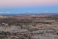
Obligatory stop at the Head of the Rocks Overlook on Highway 12, right around sunset.
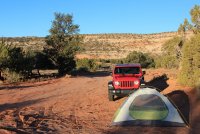
Morning view of my campsite off the Burr Trail Rd. This beautiful Wrangler was all mine for the week. I walked past it on the way to my assigned Ford something-or-other, then turned around and went back in to ask if I could trade vehicles; the rental counter employee kindly said yes!
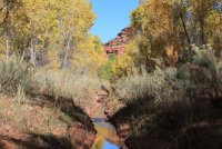
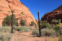
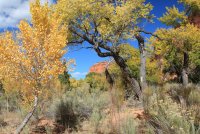
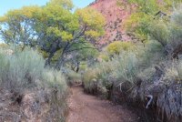
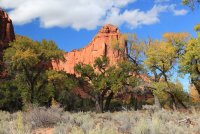
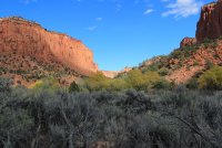
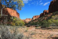
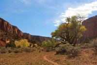
The start of the hike into the Upper Gulch. The cottonwoods were all turning this gorgeous yellow-orange, especially with the cold snap that was currently in progress.
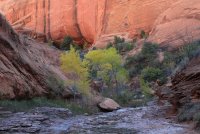
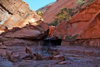
Easy and pleasant walking all the way up the Upper Gulch, other than this one waterfall that was not difficult to bypass.
Enormous cottonwood trunk; I should have added my backpack for scale to show its size.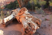
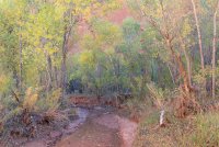
Some parts of the "trail" involved walking in the shallow streambed.
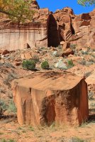
Boulder larger than my truck. I wouldn't want to be around when it fell.
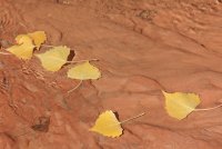
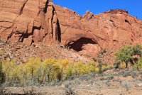
It was obvious when I passed the mouth of Water Canyon; the streambed suddenly turned dry. I dropped my pack and explored about 10 minutes up Water Canyon, but decided I'd rather spend my time on the main canyon. I drank my fill of cool water then loaded up with extra water for the next day, since my route was going to be dry tomorrow.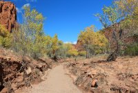
A few small seeps wet the sand here and there further upcanyon, but no flowing water.
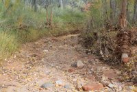
A chunk of petrified wood lodged in the streambed.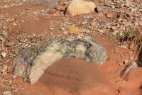
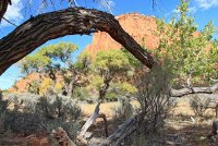
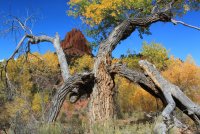
Twisty tree.
I took a break near the mouth of Egg Canyon, then decided I had enough daylight left to to explore towards Lamanite Arch further upcanyon. I left my big pack in favor of my small daypack (the awesome little Matador24) with some essentials and proceeded on. I made it to the mouth of the side canyon, but it was a horrible bushwack so I gave up long before reaching the arch. It probably wasn't that great of an arch anyway. Nice little flowing stream though, if I had needed more water.
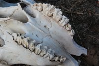
I stumbled across this unfortunate cow on the way back. I thought it was kind of cool how the layers of the teeth were flaking apart.
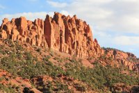
Late afternoon light.
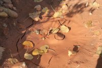
Back at the confluence with Egg Canyon. The Upper Gulch on the left, Egg on the right.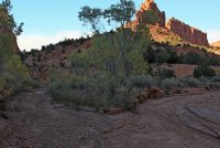
Egg Canyon, much different feel from the Gulch.
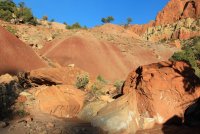
Not too many places to camp though. If I had realized that, I would ended the day earlier back in the Gulch, where good campsites were plentiful. I had about an hour remaining before sunset, and I was anxious to find a decent spot before the sun fully descended below the canyon walls. It was only in the 40s out and supposed to drop below freezing overnight, plus a stiff wind had started blowing.
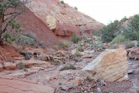
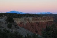
I finally found a small terrace about 5 feet about the streambed level that was large enough and flat enough for a camp, where a bend in the mud walls of the watercourse blocked the worst of the wind. A few snowflakes drifted down as I set up camp and started dinner. I had made a judgment error when packing; I opted to bring just my tarp to sleep on to save the weight/space of my non-backpacking sized tent. I had plenty of layers to stay safely warm enough, but the cold wind gusting in my face all night made for miserable sleeping conditions. As a small compensation, I did have this lovely morning view from my sleeping bag.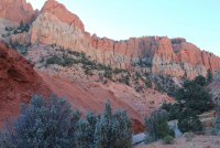
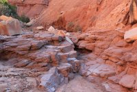
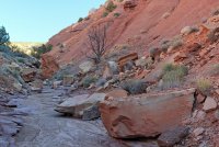
Continuing up Egg Canyon in the morning
Ice crystals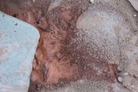
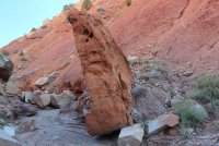
Not sure how this boulder was staying vertical.
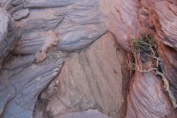
Patterns in the rock and sand.
Poking up a side drainage, I discovered these large chunks of petrified wood.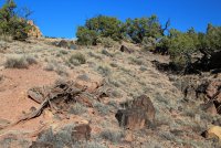
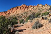
I kept walking until the main streambed divided, then pulled out my map and realized that I hadn't looked up often enough and thus had missed the break in the walls that marked the exit. I backtracked downcanyon and found a promising looking slope. After a few minutes I came across a small cairn, so I knew I had found a good route.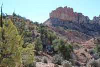
Breathtaking view from the top of the rise; it stopped me in my tracks.
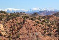
A few minutes later I heard a voice call out; it was a hiker doing a day trip from the Lampstand Road access point. I hadn't anticipated meeting anyone out here, especially on a Monday morning. We chatted for a few minutes then continued in our different directions.
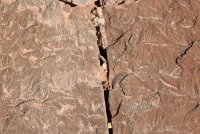
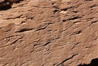
I never found the petrified forest that was supposed to be nearby, but I also didn't spend much time looking. I did however, find the interesting cross-bedded rock. Here's the top view.
And here's the side view. I love examining interesting rocks in multiple dimensions!
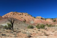
Old (mining?) road
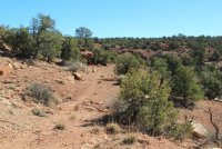
Following the wash to come out on the east side of Upper Long Canyon.
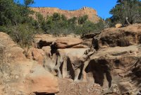
Interesting rock.
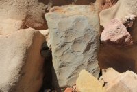
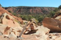
The wash kept funneling me further away from the route I had intended to take, hugging the base of the cliffs. But it was easy walking, so I stayed with it for a while.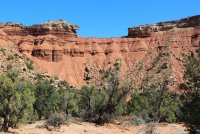
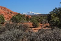
Looking back whence I had come.
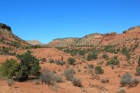
My goal: that break in the sandstone wall. It looked from Google satellite images like it would work, but I hadn't come across any trip reports confirming that. I left the wash and cut westward. The area was fairly well cow trampled so little worry of destroying crypto here. It was bit of a scramble up the slope, but nothing too difficult to do even with a big pack.
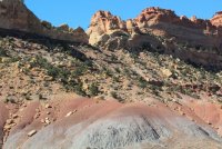
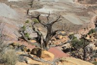
I came across these recent footprints. I found it reassuring that someone else had been this way recently as well.
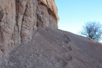
Almost there.
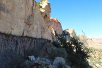
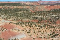
View from the top of the notch, Burr Trail Rd in the foreground.
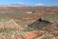
Descending into Upper Long Canyon from the notch. Lots of scrambling down through a boulder field, but nothing that I thought was too complex.
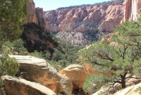
Looking back up the side drainage I had just descended.
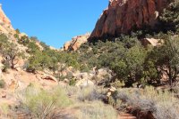
I dropped my big pack and headed up the main canyon.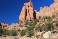
Easy walking in a wide sandy wash for a little bit, then it started getting narrower and boulder filled. I thwacked the inside of my left knee against a large boulder as I scrambled up it. I didn't think much of it at the time but it came back to haunt me later in the week...
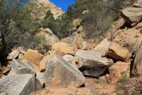
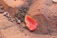
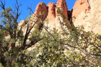
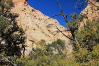
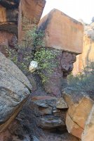
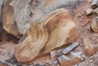
The wash narrowed further and divided, to the point where continuing on was difficult. By then it was late afternoon, so I opted to turn around so I could make it back to my vehicle at a reasonable hour. I retraced my steps, then continued on towards the canyon junction with the Burr Trail.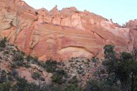
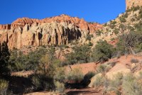
Made it out to the road! Still another 5-6 miles road walk back to my vehicle; I walked for a mile or so, then opted for the easy way and hitched a ride so I could get back to my truck before dark.
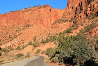
Once back at my vehicle, I had a quick snack then drove back the way from which I had just come, aiming for a good campsite that I had spotted from the notch. I stopped at the Long Canyon Overlook to see the cliffs glowing in the nearly-sunset light.
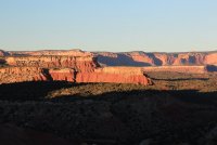
Then home sweet home for the night.
Part 1: Oct 14-15, 2018
(part 2 here)
***
As has become customary, I chose to do my annual week-long hiking vacation in the Grand Staircase-Escalante National Monument. I know there are numerous other amazing areas of the country still to see, but something about this place keeps drawing me back over and over again. The last few years I did hikes off of the Hole in the Rock and Old Sheffield Roads, so this time I decided to explore the area around the Burr Trail Road.
I usually prefer day hiking, but this time I got the idea in my head that I wanted to go backpacking. Thanks to a suggestion from @Michael, I chose any easy one-nighter to the Upper Gulch and Egg Canyon, then added a twist to make it a loop hike with Upper Long Canyon then a road walk back to my vehicle.
Obligatory stop at the Head of the Rocks Overlook on Highway 12, right around sunset.

Morning view of my campsite off the Burr Trail Rd. This beautiful Wrangler was all mine for the week. I walked past it on the way to my assigned Ford something-or-other, then turned around and went back in to ask if I could trade vehicles; the rental counter employee kindly said yes!

The start of the hike into the Upper Gulch. The cottonwoods were all turning this gorgeous yellow-orange, especially with the cold snap that was currently in progress.


Easy and pleasant walking all the way up the Upper Gulch, other than this one waterfall that was not difficult to bypass.


Enormous cottonwood trunk; I should have added my backpack for scale to show its size.

Some parts of the "trail" involved walking in the shallow streambed.

Boulder larger than my truck. I wouldn't want to be around when it fell.


It was obvious when I passed the mouth of Water Canyon; the streambed suddenly turned dry. I dropped my pack and explored about 10 minutes up Water Canyon, but decided I'd rather spend my time on the main canyon. I drank my fill of cool water then loaded up with extra water for the next day, since my route was going to be dry tomorrow.


A few small seeps wet the sand here and there further upcanyon, but no flowing water.


A chunk of petrified wood lodged in the streambed.


Twisty tree.

I took a break near the mouth of Egg Canyon, then decided I had enough daylight left to to explore towards Lamanite Arch further upcanyon. I left my big pack in favor of my small daypack (the awesome little Matador24) with some essentials and proceeded on. I made it to the mouth of the side canyon, but it was a horrible bushwack so I gave up long before reaching the arch. It probably wasn't that great of an arch anyway. Nice little flowing stream though, if I had needed more water.
I stumbled across this unfortunate cow on the way back. I thought it was kind of cool how the layers of the teeth were flaking apart.

Late afternoon light.


Back at the confluence with Egg Canyon. The Upper Gulch on the left, Egg on the right.

Egg Canyon, much different feel from the Gulch.

Not too many places to camp though. If I had realized that, I would ended the day earlier back in the Gulch, where good campsites were plentiful. I had about an hour remaining before sunset, and I was anxious to find a decent spot before the sun fully descended below the canyon walls. It was only in the 40s out and supposed to drop below freezing overnight, plus a stiff wind had started blowing.

I finally found a small terrace about 5 feet about the streambed level that was large enough and flat enough for a camp, where a bend in the mud walls of the watercourse blocked the worst of the wind. A few snowflakes drifted down as I set up camp and started dinner. I had made a judgment error when packing; I opted to bring just my tarp to sleep on to save the weight/space of my non-backpacking sized tent. I had plenty of layers to stay safely warm enough, but the cold wind gusting in my face all night made for miserable sleeping conditions. As a small compensation, I did have this lovely morning view from my sleeping bag.

Continuing up Egg Canyon in the morning


Ice crystals

Not sure how this boulder was staying vertical.

Patterns in the rock and sand.

Poking up a side drainage, I discovered these large chunks of petrified wood.


I kept walking until the main streambed divided, then pulled out my map and realized that I hadn't looked up often enough and thus had missed the break in the walls that marked the exit. I backtracked downcanyon and found a promising looking slope. After a few minutes I came across a small cairn, so I knew I had found a good route.

Breathtaking view from the top of the rise; it stopped me in my tracks.

A few minutes later I heard a voice call out; it was a hiker doing a day trip from the Lampstand Road access point. I hadn't anticipated meeting anyone out here, especially on a Monday morning. We chatted for a few minutes then continued in our different directions.
I never found the petrified forest that was supposed to be nearby, but I also didn't spend much time looking. I did however, find the interesting cross-bedded rock. Here's the top view.

And here's the side view. I love examining interesting rocks in multiple dimensions!


Old (mining?) road

Following the wash to come out on the east side of Upper Long Canyon.

Interesting rock.


The wash kept funneling me further away from the route I had intended to take, hugging the base of the cliffs. But it was easy walking, so I stayed with it for a while.


Looking back whence I had come.

My goal: that break in the sandstone wall. It looked from Google satellite images like it would work, but I hadn't come across any trip reports confirming that. I left the wash and cut westward. The area was fairly well cow trampled so little worry of destroying crypto here. It was bit of a scramble up the slope, but nothing too difficult to do even with a big pack.


I came across these recent footprints. I found it reassuring that someone else had been this way recently as well.

Almost there.


View from the top of the notch, Burr Trail Rd in the foreground.

Descending into Upper Long Canyon from the notch. Lots of scrambling down through a boulder field, but nothing that I thought was too complex.

Looking back up the side drainage I had just descended.

I dropped my big pack and headed up the main canyon.

Easy walking in a wide sandy wash for a little bit, then it started getting narrower and boulder filled. I thwacked the inside of my left knee against a large boulder as I scrambled up it. I didn't think much of it at the time but it came back to haunt me later in the week...


The wash narrowed further and divided, to the point where continuing on was difficult. By then it was late afternoon, so I opted to turn around so I could make it back to my vehicle at a reasonable hour. I retraced my steps, then continued on towards the canyon junction with the Burr Trail.


Made it out to the road! Still another 5-6 miles road walk back to my vehicle; I walked for a mile or so, then opted for the easy way and hitched a ride so I could get back to my truck before dark.

Once back at my vehicle, I had a quick snack then drove back the way from which I had just come, aiming for a good campsite that I had spotted from the notch. I stopped at the Long Canyon Overlook to see the cliffs glowing in the nearly-sunset light.

Then home sweet home for the night.

Last edited:
