hatchcanyon
Member
- Joined
- May 29, 2013
- Messages
- 136
Ten years ago we found this route, but I think it is still an interesting one. (Pictures from scanned slides)
Travelling from Green River to Hanksville is normally via I70 and UT24. Sometimes a bit boring. For shorter stretches there are alternatives, historic UT 24 for example:
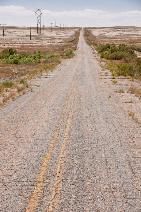
Historic UT 24 - lonelyness!
Another byway is the dirt road along one of the steepest stretches of San Rafael Reef found south of Spotted Wolf Canyon where the Interstate climbs onto the top of the Swell. To reach The Squeeze drive past Exit 149 (UT24, Hanksville), cross the San Rafael River after 2 Miles and look for Mile Marker 147. There is a dirt road and a gate in the fence along the Interstate. This little road leads into Black Dragon Canyon and has a connection to the Squeeze.
After leaving I70 - please close the gate - search in a short distance for a feasible spur into the wash to the left and turn left (south) again. Cross below I70 via a culvert.
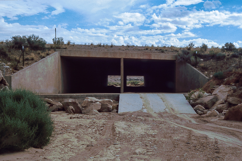
The culvert
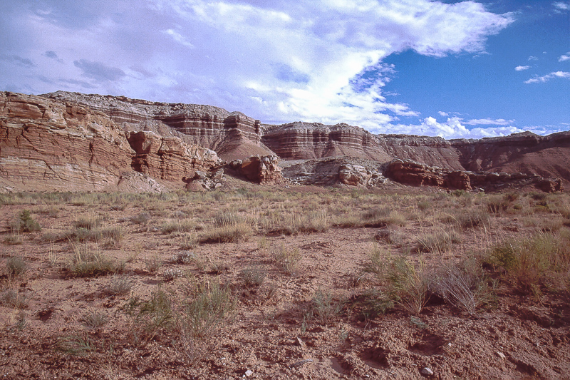
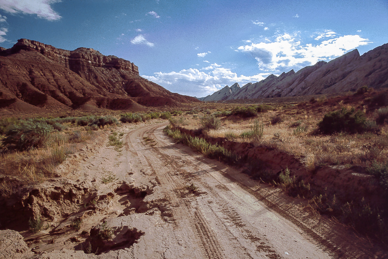
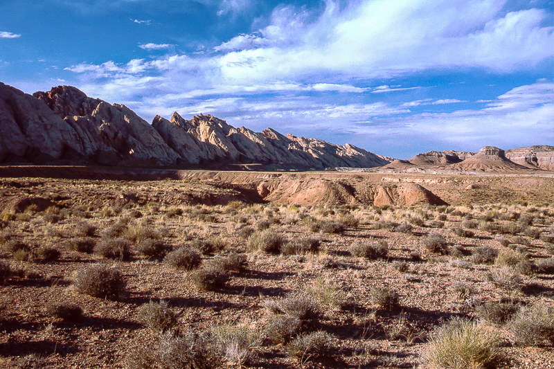
San Rafael Reef on the right side extends to the south, to the left Shadscale Mesa rises for some hundred feet but clearly lower than the reef. The road squeezes through the gap in between.
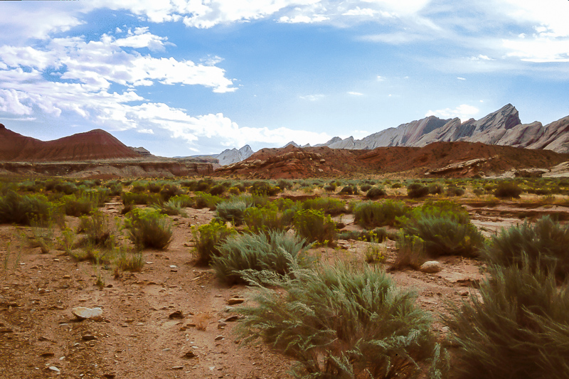
The Reef on the right side, Shadscale Mesa to the left
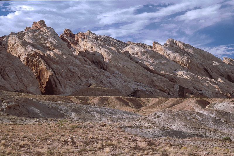
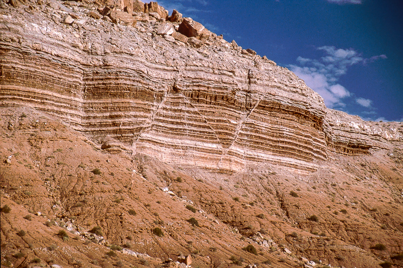
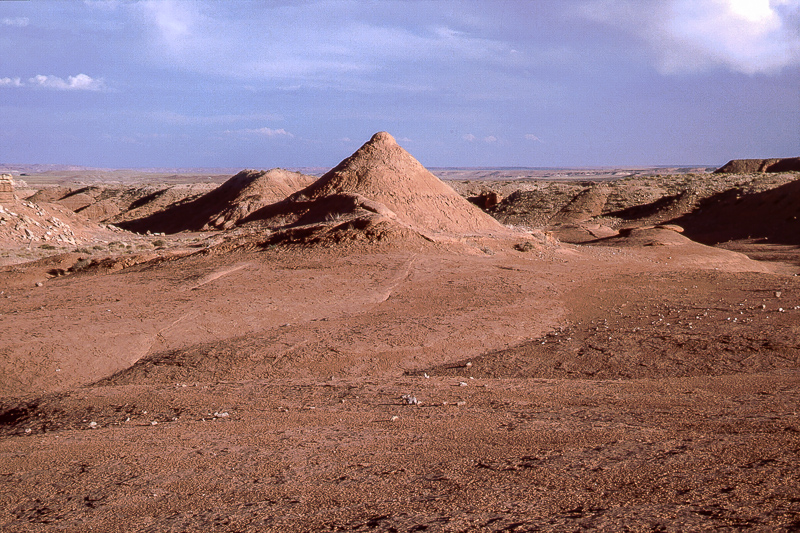
Rocks of the Reef look more or less massive, Shadscale Mesa is different. Its structure is fine layered.
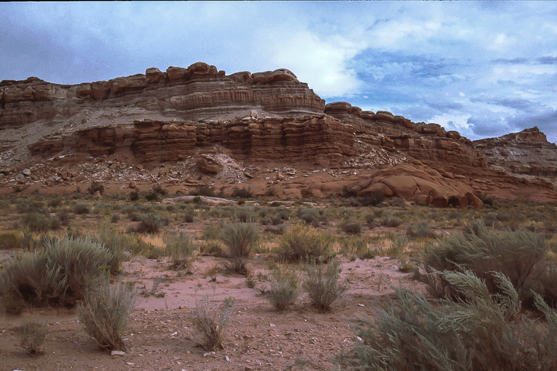
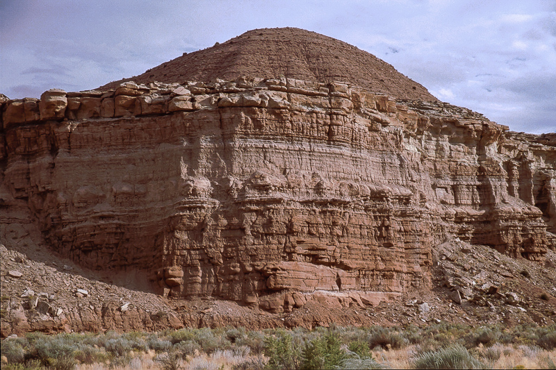
Shadscale Mesa
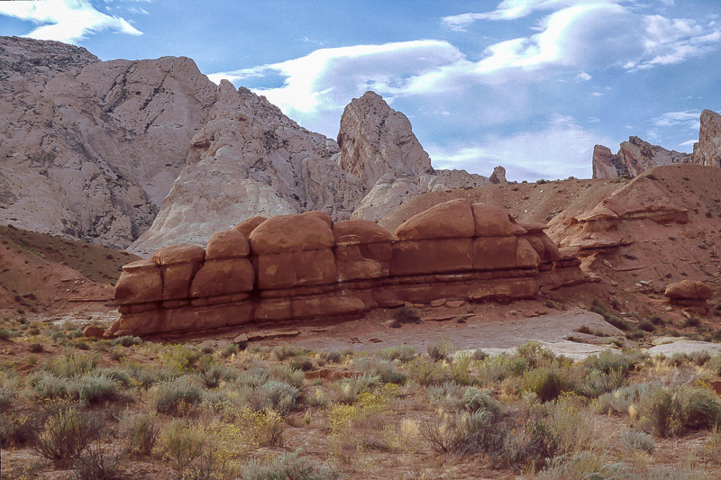
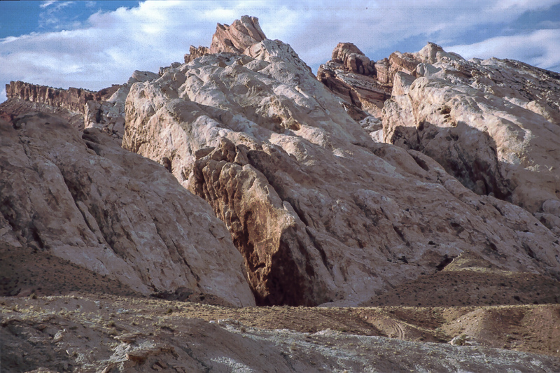
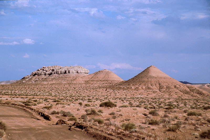
This is The Squeeze but it isn't really tight
Contrasting colors
The road is in fairly good conditions, but look for occasional washouts
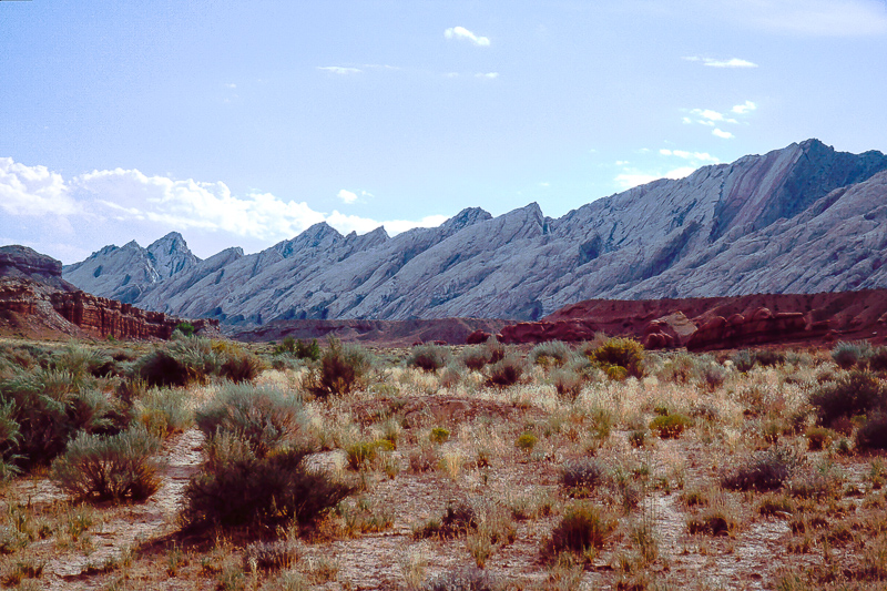
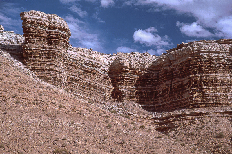
San Rafael Reef
Shadscale Mesa
Zorro?
South of Shadscale Mesa looking back into The Squeeze
The road turns east for UT 24 and Hatt's Ranch
Wash east of the Reef
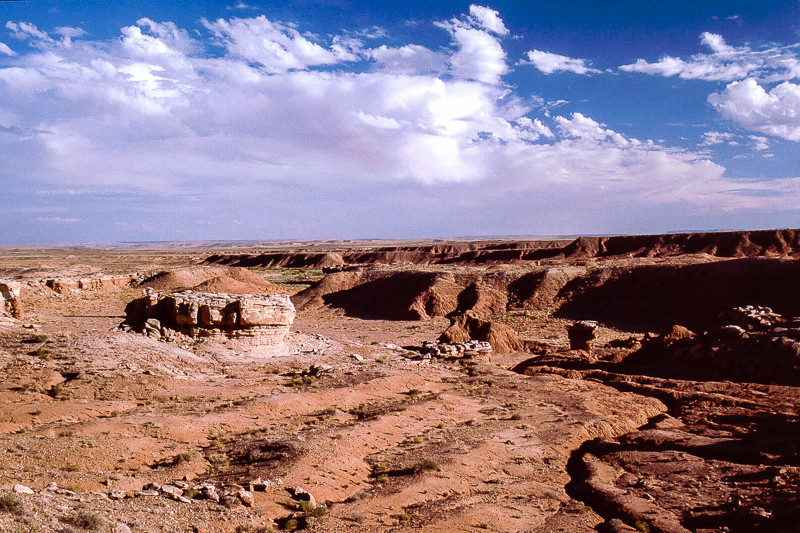
In the San Rafael Desert
From the southern end of Shadscale Mesa the road runs for 5 Miles until ending on UT24. There is a ford through San Rafael River. An alternative route goes south at 12S 0553877, 4302348 reaching the pavement two and a half Mile more to the south.
Featured image for home page:

Travelling from Green River to Hanksville is normally via I70 and UT24. Sometimes a bit boring. For shorter stretches there are alternatives, historic UT 24 for example:
Historic UT 24 - lonelyness!
Another byway is the dirt road along one of the steepest stretches of San Rafael Reef found south of Spotted Wolf Canyon where the Interstate climbs onto the top of the Swell. To reach The Squeeze drive past Exit 149 (UT24, Hanksville), cross the San Rafael River after 2 Miles and look for Mile Marker 147. There is a dirt road and a gate in the fence along the Interstate. This little road leads into Black Dragon Canyon and has a connection to the Squeeze.
After leaving I70 - please close the gate - search in a short distance for a feasible spur into the wash to the left and turn left (south) again. Cross below I70 via a culvert.
The culvert
San Rafael Reef on the right side extends to the south, to the left Shadscale Mesa rises for some hundred feet but clearly lower than the reef. The road squeezes through the gap in between.
The Reef on the right side, Shadscale Mesa to the left
Rocks of the Reef look more or less massive, Shadscale Mesa is different. Its structure is fine layered.
Shadscale Mesa
This is The Squeeze but it isn't really tight
Contrasting colors
The road is in fairly good conditions, but look for occasional washouts
San Rafael Reef
Shadscale Mesa
Zorro?
South of Shadscale Mesa looking back into The Squeeze
The road turns east for UT 24 and Hatt's Ranch
Wash east of the Reef
In the San Rafael Desert
From the southern end of Shadscale Mesa the road runs for 5 Miles until ending on UT24. There is a ford through San Rafael River. An alternative route goes south at 12S 0553877, 4302348 reaching the pavement two and a half Mile more to the south.
Featured image for home page: