pstm13
Auribus Teneo Lupum
- Joined
- Dec 27, 2012
- Messages
- 572
Follow along with the video below to see how to install our site as a web app on your home screen.
Note: This feature may not be available in some browsers.


Beautiful! Very talented.My daughter who has appeared in several posts sang the National Anthem for the Jazz OKC game the other night and was featured on KSL.coms home page yesterday. I thought I would share. Scroll down and watch the video.
https://www.ksl.com/?sid=46186449&nid=1419
The Scat Family on top of Deseret Peak earlier today. Thanks for the inspiration @Cuberant !
View attachment 59217
Lookin’ good! How did you like it?
I thought I saw you over there... I was on Ben Lomond and Willard Peaks today.
Sent from my iPhone using Tapatalk
It was wonderful. Could you see me waving at you up north? I think there was more haze in the valleys yesterday than there was the weekend before. What was the air quality like from Ben Lomond and Willard Peaks?

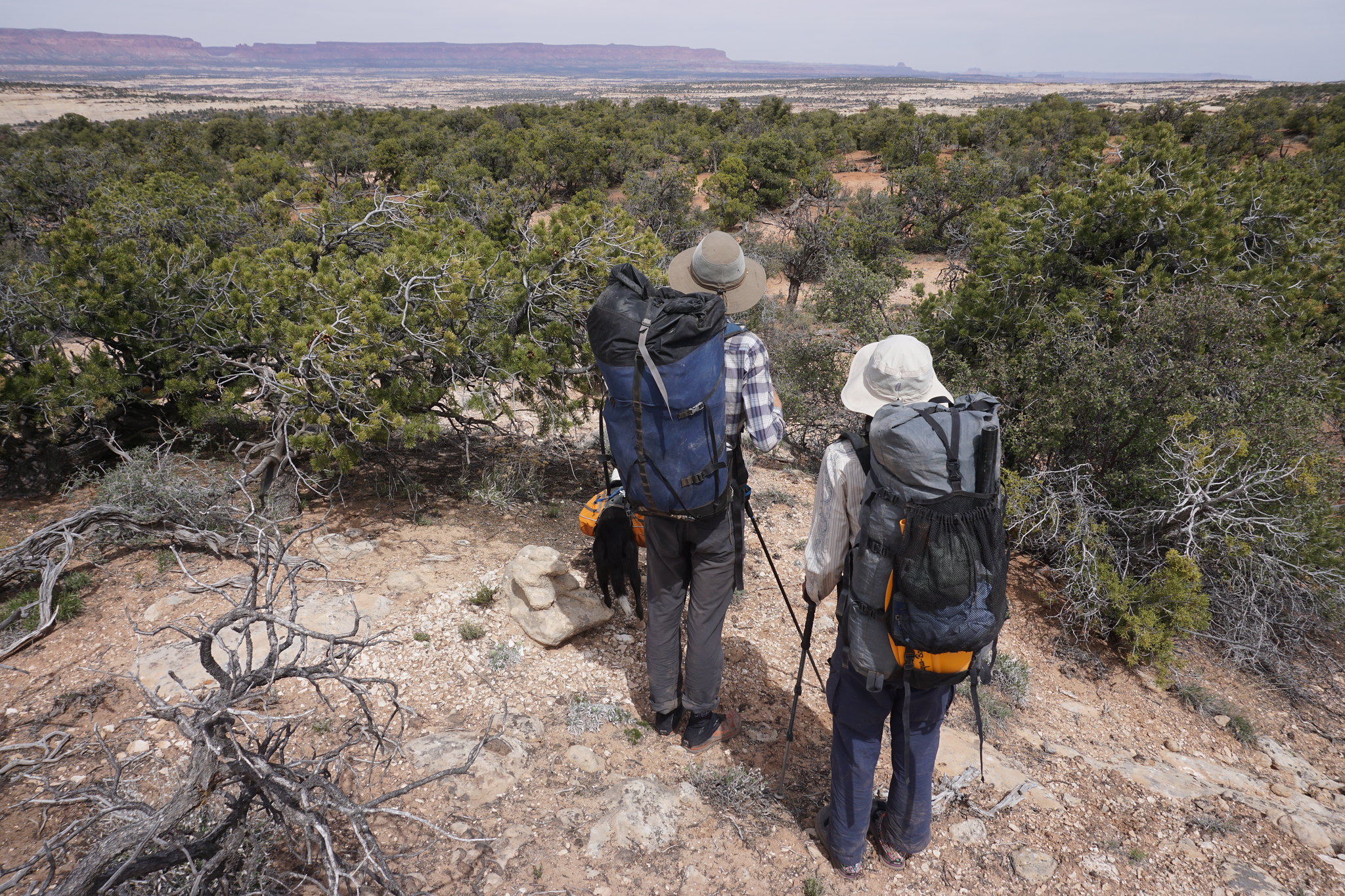
 DSC06973 by jan nikolajsen, on Flickr
Chin up, lad!@Jeffrey Chandler getting a quick breather while scrambling in Gifford Canyon-ZNP
View attachment 59230
You'll have to tell me about that one. I've been out there three times but never made it to the high point!
You'll have to tell me about that one. I've been out there three times but never made it to the high point!
Great photo, but it looks like you're carrying a golf club.
Whatever it is, you look very happy.
Heads up. I just heard that the State Park system is considering opening up the island to ATV's. You might want to provide feedback even though I have not found that they are asking for the public's opinion....We didn't make it to the high point either. By the time we reached the saddle (where the picture was taken), we didn't have enough time left in the day to summit and get back to my Jeep before it got dark and I didn't pack a headlamp. From where we were, you could just follow the ridge to the top. It was the first time that I've been out there and I had to guess at the route a bit and I underestimated the time it would take us to get to the crest. We had it all to ourselves though and we saw three deer, a hawk, a rabbit and a number of chukars. As we ate our late lunch, we watched one of the deer climb a ridge up the east side, come over the crest then down a western ridge. It didn't seem to realize that we were there. I'll head back in the spring when there is more light in the day to reach the top.
Eh, here I am. Near Sunrise Peak above Alta a couple weeks ago.
Ooops, can't remember how to put a picture in ...
Eh, here I am. Near Sunrise Peak above Alta a couple weeks ago.
Ooops, can't remember how to put a picture in ...
Drag and drop it in to the box where you are typing your post
Don't like ads? Become a BCP Supporting Member and kiss them all goodbye. Click here for more info.
