John Morrow
Member
- Joined
- May 22, 2015
- Messages
- 1,119
The Grand Staircase Escalante National Monument (GSENM) in southern Utah has become a favorite. Previously, all my explorations (alone or with friends) have been in the eastern Escalante River drainage portion. This trip explored the western portion through "The Grand Staircase" and can be called the Paria River-Hackberry Canyon Loop. Within the National Monument is the Paria-Hackberry Wilderness Study Area and the majority of the hike took place in this 136,000 acre WSA. Kimberly (Rainie Too), who did the bulk of the research for the trip, was joined by and fellow Escalante explorers Linda, Jerry, Robert and myself. We are all becoming annual regulars down here. Gwen, diving head first into her first desert experience, joined us for week two!
Total mileage with side canyon trips added up to nearly 100 miles over 10 days.
http://static.flickr.com/4187/33689891143_eae6de7ea5_m.jpg
=Full Size
http://static.flickr.com/4183/33689874403_fd534fb34c_m.jpg
=GSENM P-H Loop Overview Full Size
This is Part 3 of three parts:
Part 1 here: http://www.nwhikers.net/forums/viewtopic.php?t=8024030
Part 2: http://www.nwhikers.net/forums/viewtopic.php?t=8024088
Part 3: Round Valley Draw/Hackberry Canyon/Yellow Rock/Paria Box.
Part 3: The quick and dirty....
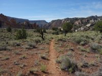
Day 7 we began by moving shuttling to a beginning at the Round Valley Draw Trailhead off the Cottonwood Road to save a few miles of dirt road and mesa walking. RVD is a well known slot with a few easy down scrambles through simple dryfalls. Gwen's first slot canyon experience!!!! It led us to Hackberry Canyon which is dry for the first few miles. Dry camp.
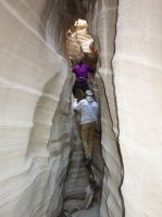
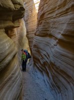
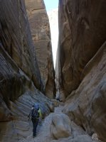
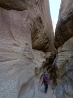
A few of us trudged deep sand to the narrows of Booker Canyon as a quick sidetrip.
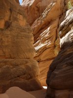
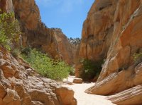
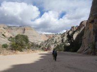
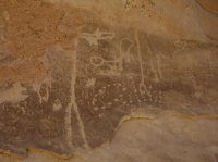
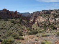
Day 8 found us descending further through Hackberry Canyon, which changes scenes nicely as we went. Our sidetrip for the day was a fun exploration of the Stone Donkey Slot Canyon and an attempt at an aesthetic looking peak known as Cottonwood BM. Unfortunately, 5th Class rock stopped us 100 vertical feet short of the summit but the views were astounding. Then we moved on to the junction with Sam Pollock Arch Canyon for the night's camp. We also came across a neat petroglyph panel and settlers' signature panel none of us had known about.
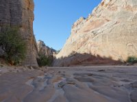
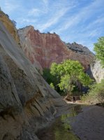
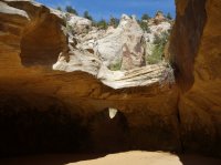
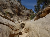
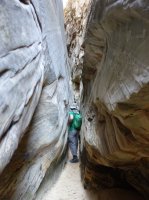
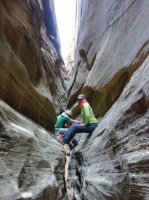
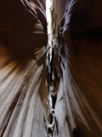
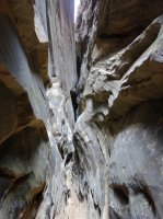
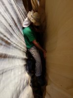
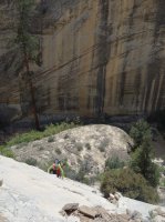
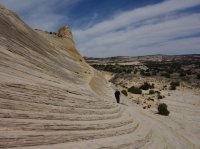
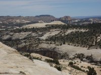
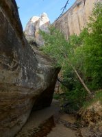
Day 9 took us down through the rest of Hackberry Canyon, with its' narrows at the mouth. Nice narrows and neat scenery throughout as it transitioned through the rock layers.
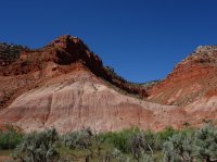
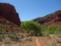
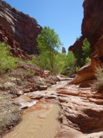
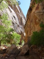
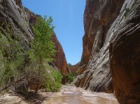
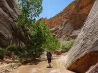
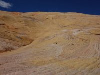
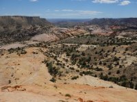
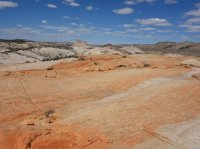
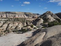
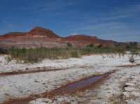
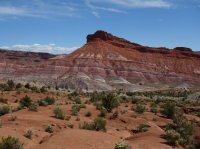
At the mouth of Hackberry we left canyons all together and took the Yellow Rock Trail up onto the mesa bench for our only high camp. Yellow Rock was out of this world. Our high camp also yielded a fine sunset on the Grey Cliffs to the east. A very colorful afternoon!
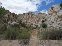
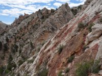
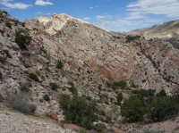
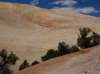
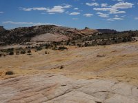
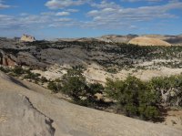
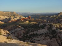
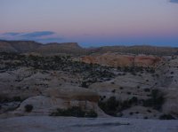
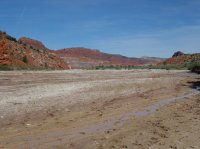
Day 10, time to end our journey and close the loop with a short hike descending to the Box or the Paria River (a low narrows at its mouth of the upper canyon). Upstream a mile were our cars waiting at the Movie Set Trailhead. Nicely done all! Fantastic scenery and company over the course of ten days!
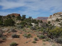
Total mileage with side canyon trips added up to nearly 100 miles over 10 days.
http://static.flickr.com/4187/33689891143_eae6de7ea5_m.jpg
=Full Size
http://static.flickr.com/4183/33689874403_fd534fb34c_m.jpg
=GSENM P-H Loop Overview Full Size
This is Part 3 of three parts:
Part 1 here: http://www.nwhikers.net/forums/viewtopic.php?t=8024030
Part 2: http://www.nwhikers.net/forums/viewtopic.php?t=8024088
Part 3: Round Valley Draw/Hackberry Canyon/Yellow Rock/Paria Box.
Part 3: The quick and dirty....
Day 7 we began by moving shuttling to a beginning at the Round Valley Draw Trailhead off the Cottonwood Road to save a few miles of dirt road and mesa walking. RVD is a well known slot with a few easy down scrambles through simple dryfalls. Gwen's first slot canyon experience!!!! It led us to Hackberry Canyon which is dry for the first few miles. Dry camp.


A few of us trudged deep sand to the narrows of Booker Canyon as a quick sidetrip.


Day 8 found us descending further through Hackberry Canyon, which changes scenes nicely as we went. Our sidetrip for the day was a fun exploration of the Stone Donkey Slot Canyon and an attempt at an aesthetic looking peak known as Cottonwood BM. Unfortunately, 5th Class rock stopped us 100 vertical feet short of the summit but the views were astounding. Then we moved on to the junction with Sam Pollock Arch Canyon for the night's camp. We also came across a neat petroglyph panel and settlers' signature panel none of us had known about.


Day 9 took us down through the rest of Hackberry Canyon, with its' narrows at the mouth. Nice narrows and neat scenery throughout as it transitioned through the rock layers.


At the mouth of Hackberry we left canyons all together and took the Yellow Rock Trail up onto the mesa bench for our only high camp. Yellow Rock was out of this world. Our high camp also yielded a fine sunset on the Grey Cliffs to the east. A very colorful afternoon!


Day 10, time to end our journey and close the loop with a short hike descending to the Box or the Paria River (a low narrows at its mouth of the upper canyon). Upstream a mile were our cars waiting at the Movie Set Trailhead. Nicely done all! Fantastic scenery and company over the course of ten days!


Last edited:
