Udink
Still right here.
- Joined
- Jan 17, 2012
- Messages
- 1,734
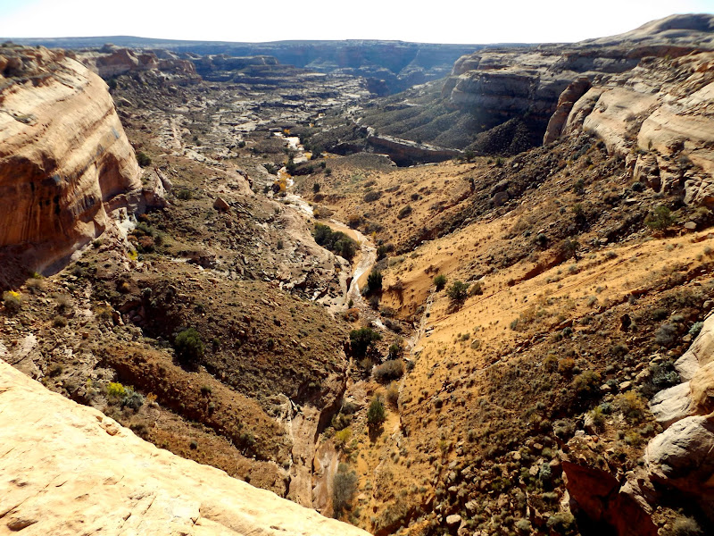
I had Friday off work but I woke up much earlier than I would have on a normal weekday. With the days being shorter and the recent time change for daylight savings I decided to get an early start to my hike. I'd planned an easy exploratory trip to the Frog, which is an abandoned meander of the Green River at the lower end of Horseshoe Canyon. At the Keg Knoll turnoff I noticed I was the first vehicle down the road since the last time it rained, and the road was in better shape than I recalled from the last couple of times I drove it. I parked where the road ended and hiked southeast, first down a closed, washed out road, then cross-country, following a wash until I reached a huge pouroff above a canyon that I'd hoped to access.
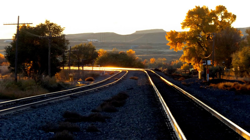
Railroad tracks in Green River
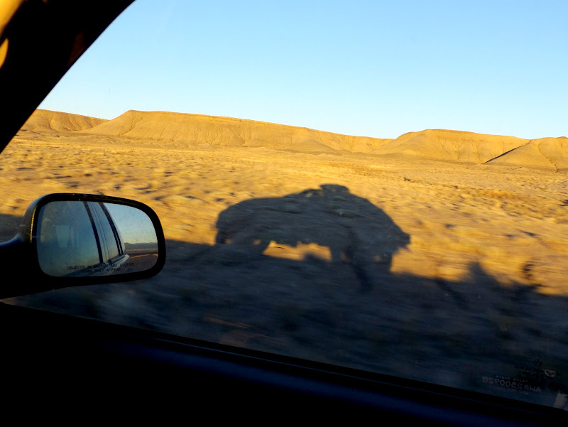
Jeep shadow
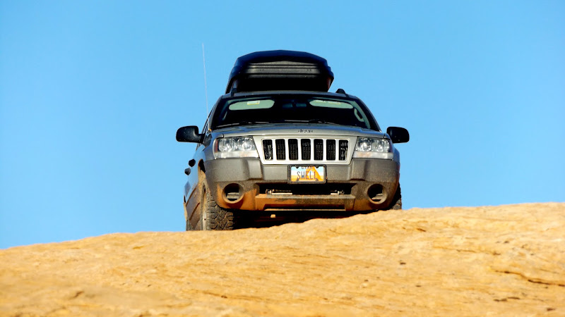
Parked on the slickrock
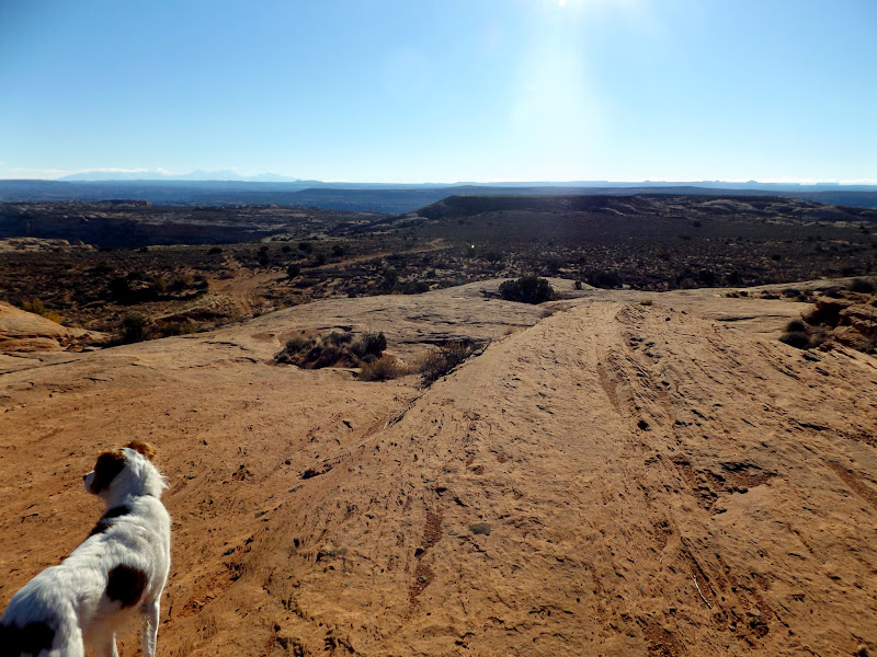
Near the start of the hike
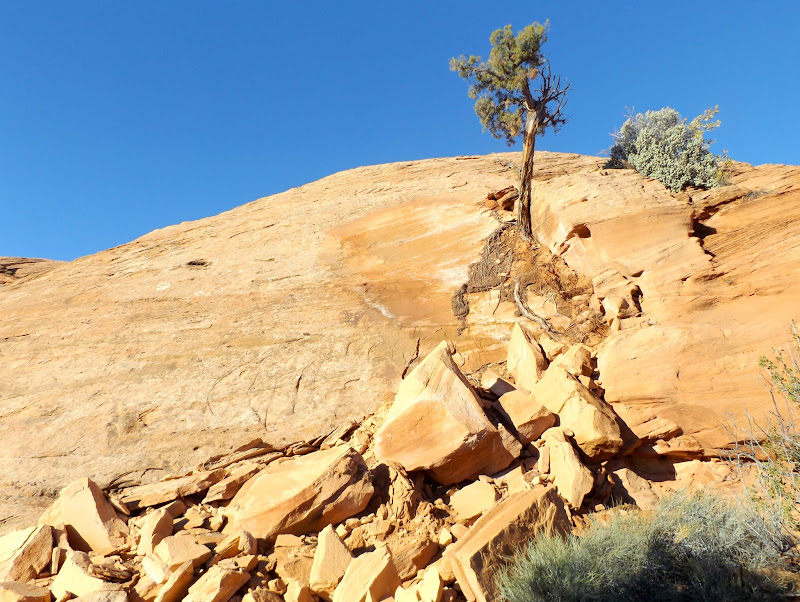
Fresh rockfall
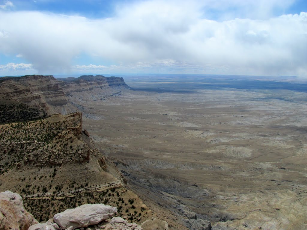
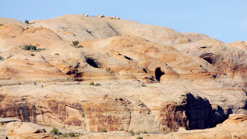
The canyon is a relatively small side canyon to Horseshoe Canyon. I hiked down a break in the cliffs that appeared to have some signs of trail construction and even a fallen cairn marking the top. I descended as far as a short, steep slickrock section above a sand dune that would have led me all the way to the bottom of the canyon. I spent several minutes trying to find a comfortable route down the slickrock but I wasn't confident I could get myself and the dogs back up that section, so I scrapped that plan.
Short side canyon of Horseshoe Canyon
Large alcove
Below the rim trying to access the alcove
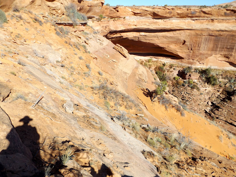
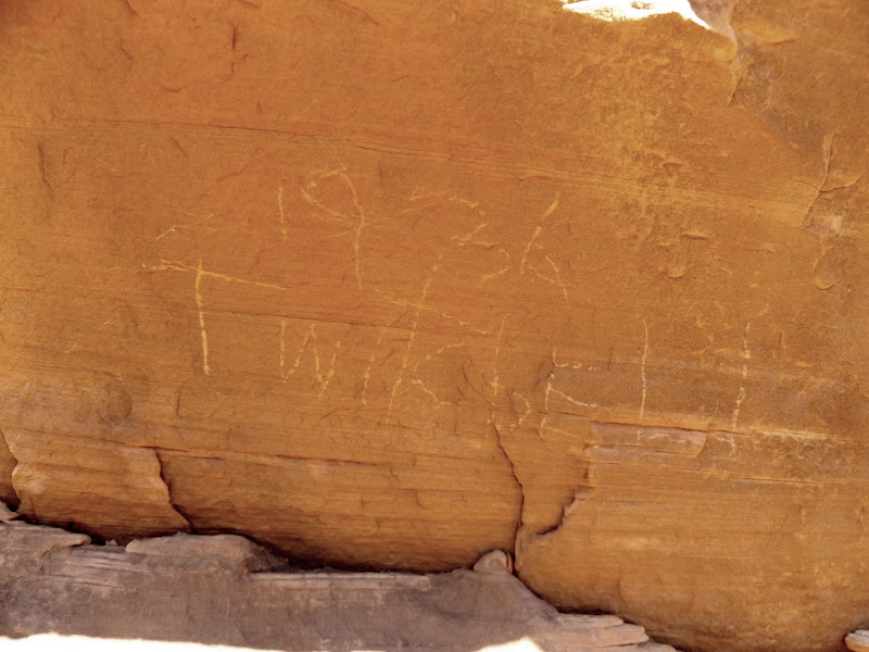
Next I hiked to the southwestern rim of the Frog searching for the top of the Frog Trail. Along the way I found an inscription that read "1936 Twitchell," which is probably the same person that left the "H.H. Twitchell 1935" writing that I found in lower Moonshine Wash two years ago. I expected to find the top of the Frog Trail to be well-marked but instead found that the "trail" is likely just a wide route that follows the benches between cliff bands for almost two miles. After descending below the top cliff band and finding the likely route of the trail, I descended further and sat atop the lower cliff band while I ate lunch.
Drill hole
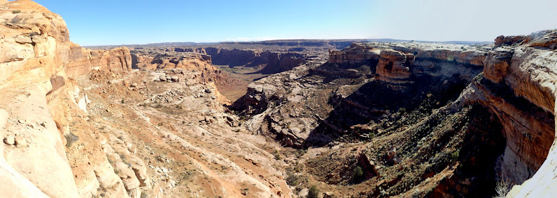
Panorama above the benches of the Frog Trail
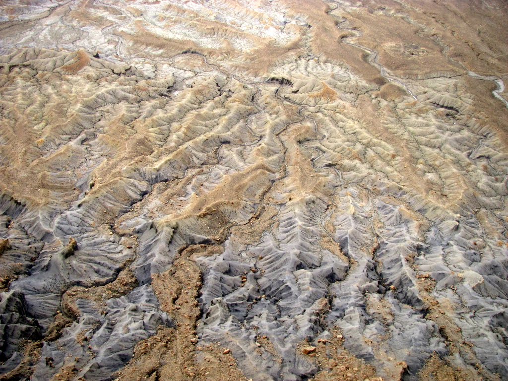
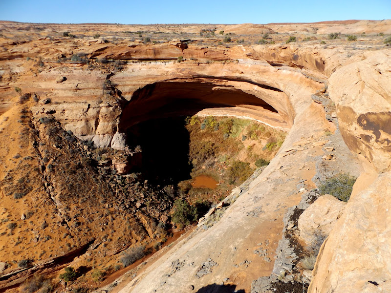
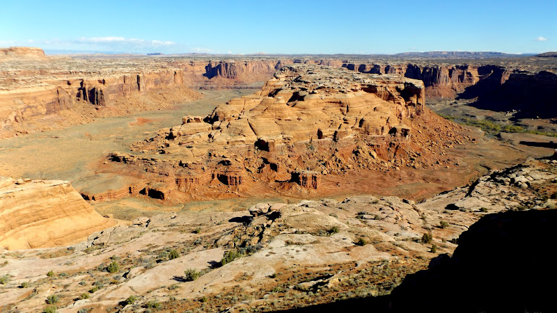
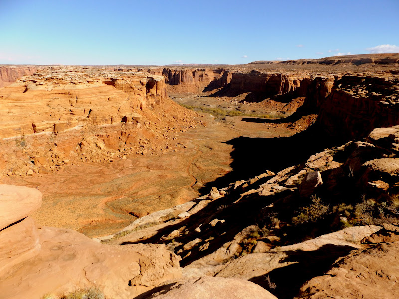
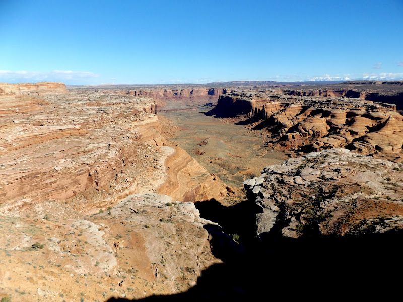
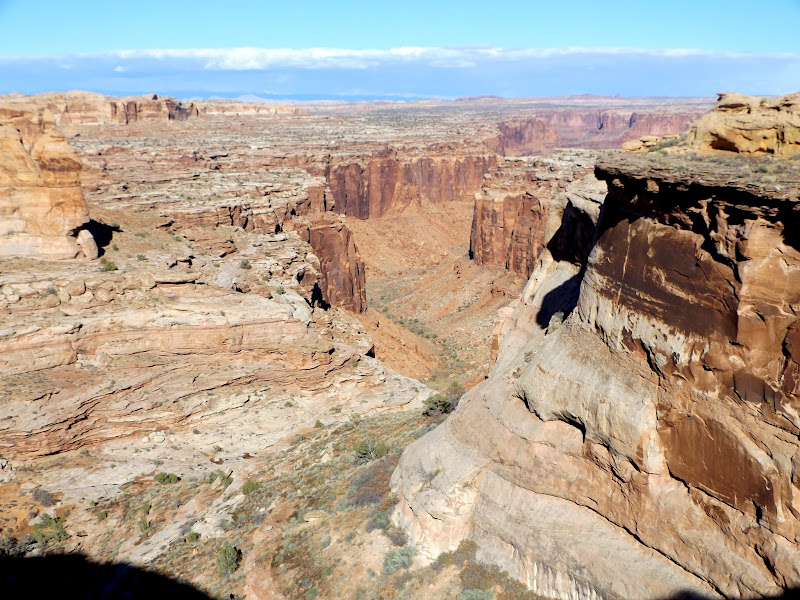
The Frog, an abandoned meander of the Green River near Horseshoe Canyon
1936 Twitchell inscription
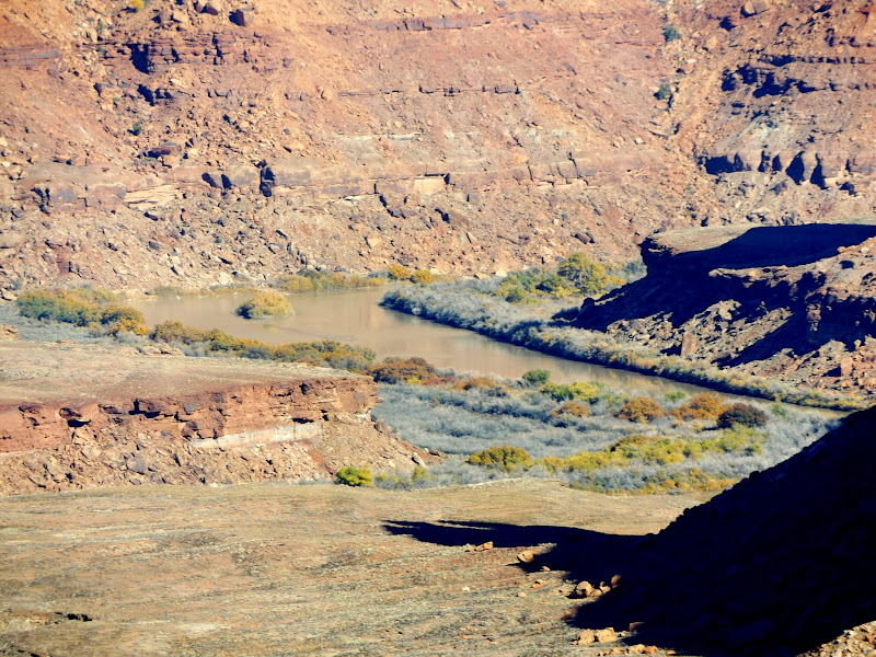
Downstream side of the abandoned meander
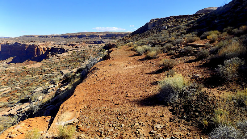
Frog Trail
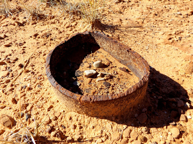
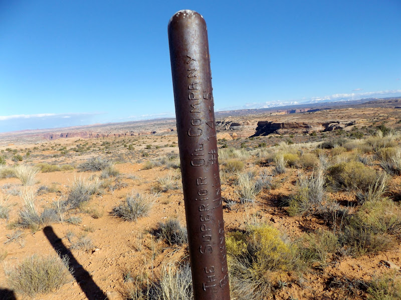
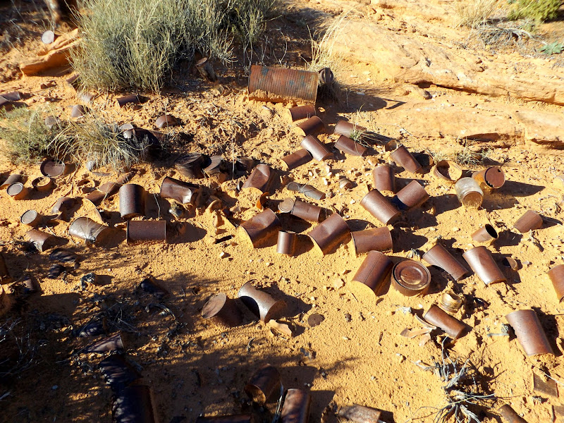
I checked the time after lunch and I wasn't sure that I'd have enough time to walk the entire upper route of the Frog Trail and still make it back to the Jeep before sunset. I ascended back to the rim above the Frog and followed it to the north while having good views of the trail from above. On the rim, just above the steep, bouldery chute that connects the bench route with the bottom land inside the Frog, I found a large cairn that probably served as a marker visible from far below to lead cowboys and their stock up the correct drainage. At that point I left the rim and regained the old road leading back to my parking spot. When I neared the rim of Twomile Canyon I snapped a zoomed-in photo of Colonnade Arch that I later realized included three people who I would bump into later. When the Jeep was within sight I found a drill hole and the workers' camp where they'd left a lot of old cans and glass jars and bottles.
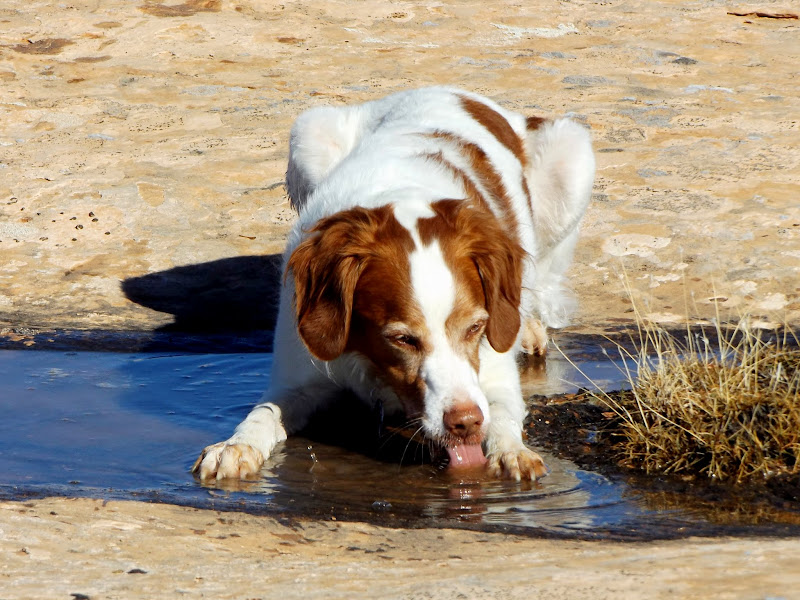
Torrey getting a drink
Upstream side of the abandoned meander
Green River
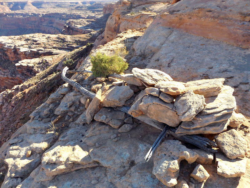
Large cairn above the Frog Trail
Colonnade Arch with Greg, Dan, and Nick on the left side
South fork of Twomile Canyon
Drill hole: The Superior Oil Company, Bowknot Unit #14-5
Cans and bottles near a drill hole
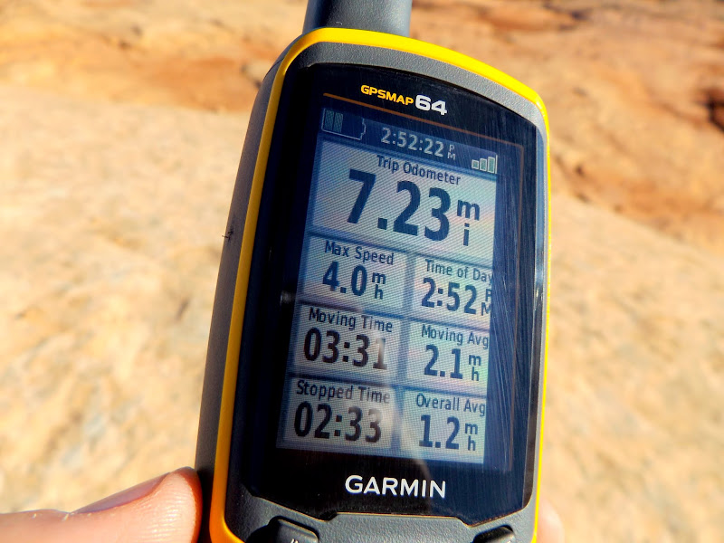
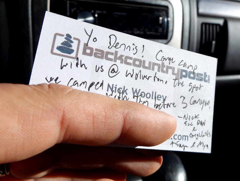
The total hiking distance was 7.23 miles over the course of about six hours. At the Jeep I found a note left by @Nick, and his Tundra was parked nearby. I texted him and he said that he, @slc_dan, and @gnwatts were on their way back from Colonnade Arch, so I stuck around and chatted with them for a while over a beer before heading home. The coincidence of running into Nick there was amusing to me 'cause the first time we met was only six miles away from this spot. The sun set while I was driving home and made for some beautiful sights that I had to stop and photograph. It was full-dark--way too early--when I hit Green River, and on Highway 6 there was a steady stream of headlights heading south while I enjoyed relatively little traffic northbound.
Hike stats
Note left by Nick
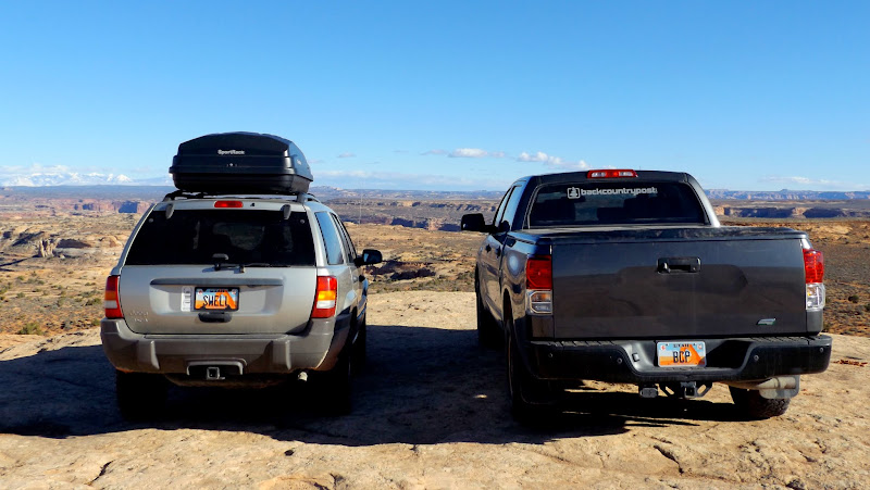
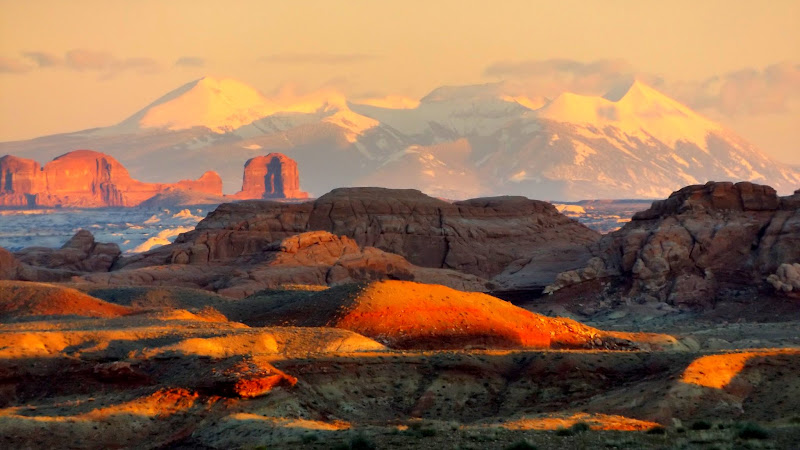
Swell and BCP
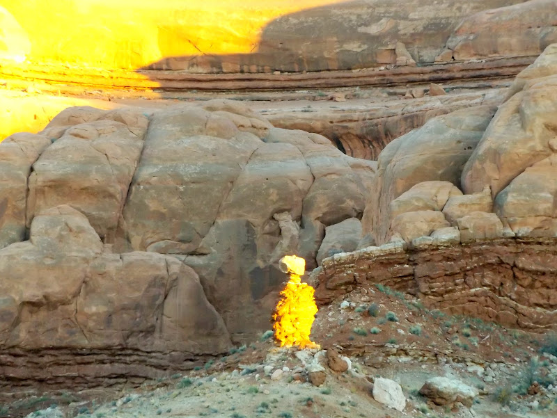
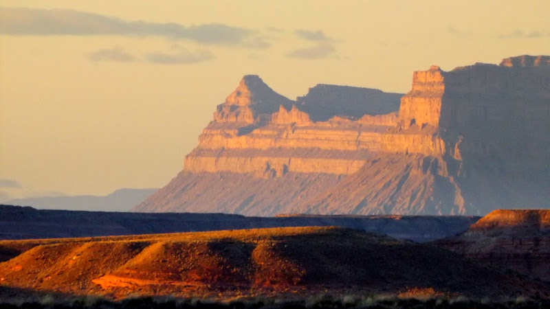
Freaky E.T. rock formation glowing in the last light before sundown
Mt. Elliott
La Sals
Henrys
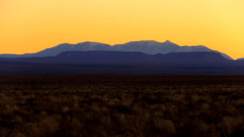
Photo Gallery: The Frog
GPS Track and Photo Waypoints:
[ Google Earth KMZ ] [ Gmap4 Satellite ] [ Gmap4 Topo ]
Featured image for home page:

Railroad tracks in Green River
Jeep shadow
Parked on the slickrock
Near the start of the hike
Fresh rockfall
The canyon is a relatively small side canyon to Horseshoe Canyon. I hiked down a break in the cliffs that appeared to have some signs of trail construction and even a fallen cairn marking the top. I descended as far as a short, steep slickrock section above a sand dune that would have led me all the way to the bottom of the canyon. I spent several minutes trying to find a comfortable route down the slickrock but I wasn't confident I could get myself and the dogs back up that section, so I scrapped that plan.
Short side canyon of Horseshoe Canyon
Large alcove
Below the rim trying to access the alcove
Next I hiked to the southwestern rim of the Frog searching for the top of the Frog Trail. Along the way I found an inscription that read "1936 Twitchell," which is probably the same person that left the "H.H. Twitchell 1935" writing that I found in lower Moonshine Wash two years ago. I expected to find the top of the Frog Trail to be well-marked but instead found that the "trail" is likely just a wide route that follows the benches between cliff bands for almost two miles. After descending below the top cliff band and finding the likely route of the trail, I descended further and sat atop the lower cliff band while I ate lunch.
Drill hole
Panorama above the benches of the Frog Trail
The Frog, an abandoned meander of the Green River near Horseshoe Canyon
1936 Twitchell inscription
Downstream side of the abandoned meander
Frog Trail
I checked the time after lunch and I wasn't sure that I'd have enough time to walk the entire upper route of the Frog Trail and still make it back to the Jeep before sunset. I ascended back to the rim above the Frog and followed it to the north while having good views of the trail from above. On the rim, just above the steep, bouldery chute that connects the bench route with the bottom land inside the Frog, I found a large cairn that probably served as a marker visible from far below to lead cowboys and their stock up the correct drainage. At that point I left the rim and regained the old road leading back to my parking spot. When I neared the rim of Twomile Canyon I snapped a zoomed-in photo of Colonnade Arch that I later realized included three people who I would bump into later. When the Jeep was within sight I found a drill hole and the workers' camp where they'd left a lot of old cans and glass jars and bottles.
Torrey getting a drink
Upstream side of the abandoned meander
Green River
Large cairn above the Frog Trail
Colonnade Arch with Greg, Dan, and Nick on the left side
South fork of Twomile Canyon
Drill hole: The Superior Oil Company, Bowknot Unit #14-5
Cans and bottles near a drill hole
The total hiking distance was 7.23 miles over the course of about six hours. At the Jeep I found a note left by @Nick, and his Tundra was parked nearby. I texted him and he said that he, @slc_dan, and @gnwatts were on their way back from Colonnade Arch, so I stuck around and chatted with them for a while over a beer before heading home. The coincidence of running into Nick there was amusing to me 'cause the first time we met was only six miles away from this spot. The sun set while I was driving home and made for some beautiful sights that I had to stop and photograph. It was full-dark--way too early--when I hit Green River, and on Highway 6 there was a steady stream of headlights heading south while I enjoyed relatively little traffic northbound.
Hike stats
Note left by Nick
Swell and BCP
Freaky E.T. rock formation glowing in the last light before sundown
Mt. Elliott
La Sals
Henrys
Photo Gallery: The Frog
GPS Track and Photo Waypoints:
[ Google Earth KMZ ] [ Gmap4 Satellite ] [ Gmap4 Topo ]
Featured image for home page:
")