- Joined
- Dec 23, 2013
- Messages
- 4,296
I had last Saturday all to my lonesome and decided that before Salt lake gets a big snowstorm, that I'd try to complete a 17.3 mile loop through the foothills near my home. I also wanted to see if my 60 year old knees, feet and hips could still handle a long day. I've covered all this terrain many times in the past as you all well know, but this is the first time I've strung them all together.
The route I took would take me from my house up to 11th Ave where I would head east, then pick up a pathway down to the Bonneville Shoreline Trail. Once on the BST, I'd take it all the way to the south side of Mount Wire, where I'd then head up to the old airplane beacon on top. Once on the summit, I'd take a quick break for picture taking and a snack before heading down the north side of Wire, and back down to a trail that lies just above the Shoreline Trail. I'd then work my way around Red Butte and Red Butte Gardens before dropping down into Red Butte Canyon. Once I crossed the road in the canyon, I'd start my way up to the summit of Mount Van Cott. At the top, I planned on eating lunch and taking a few more pictures. After lunch, I'd head down the north/west side of Van Cott making my way to the mouth of Dry Canyon. I'd then proceed up Dry Canyon and work my way over to the Avenues Twin Peaks. After another break on the South Twin, I'd head home.
I began the hike in the dark at 6:25 am, and finished up at 4:52 pm for a total of 10 hours and 27 minutes to complete, and had a total of 5,272 feet of elevation gain and loss from my house.
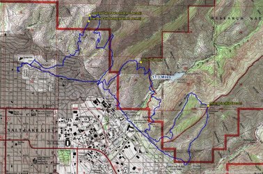
Overview map - while the distance measures out on the map at 17.3 miles, if you add the McGirt Coefficient then it pans out at about 19 miles.
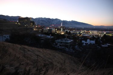
Approaching the University of Utah Hospital as I make my way along the pathway that descends to the Bonneville Shoreline Trail
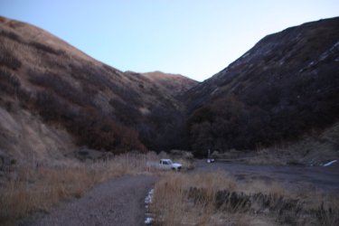
Arriving at the Shoreline Trail and the mouth of Dry Canyon. Looks like I had the shakes.
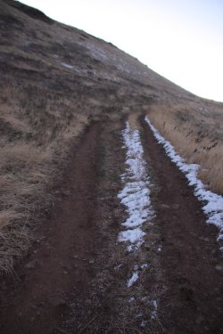
Heading south along the Shoreline Trail
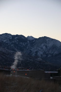
Early morning shot of Broads Fork Twin Peaks and Mount Olympus
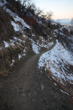
Some snow on the northern slopes

A look up at west side of Mount Van Cott where I'd be later in the day
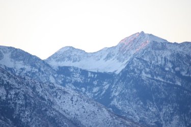
Zoomed in on the sunrise on Lone Peak to the south
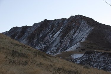
North side of Red Butte that I'll work my way around
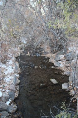
Crossing Red Butte Creek
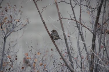
That bird looks as cold as I felt. It was 25 degrees when I left my house, and I don't think it started warming up until I started
climbing Mount Wire.
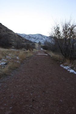
Approaching the west side of Mount Wire
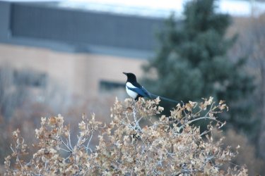
Not the best shot, but an early morning magpie
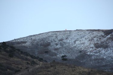
Zoomed in, and you can just make out the sun hitting the top of the airplane beacon on Mount Wire. This is a west side view.
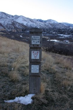
One of the many segments of the Shoreline Trail
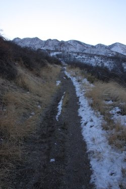
Working my way to the south side of Wire, with Parleys Ridge in the distance
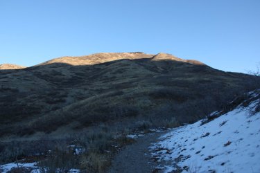
Sunshine on the south side of Mount Wire - pretty close to where the climbing begins
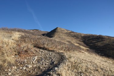
Let the uphill begin. It took me just a little over two hours to get to this point
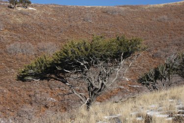
Nice shot of Mountain Mahogany
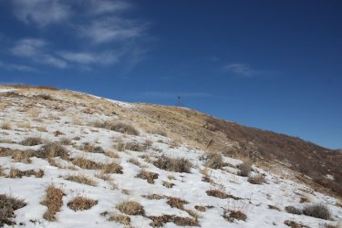
First glimpse of the airplane beacon on top of Wire

Arriving at the summit

Benchmark up top
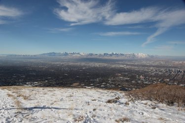
View across the valley towards the Oquirrh Range
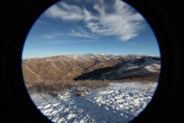
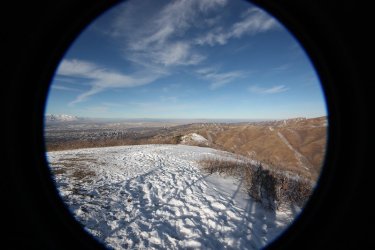
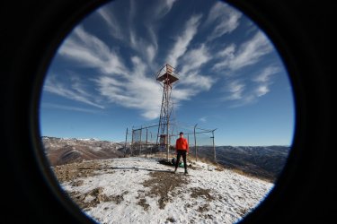
Some fisheye shots from the top

Making my way down the north side of Wire

Zoomed in on the summit of Van Cott to the north of Wire
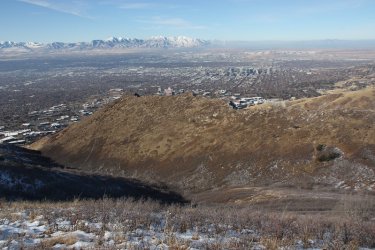
South side of Red Butte. I'll be making my way down the draw (George's Hollow)
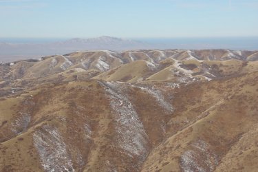
Summit of Van Cott again and the Avenue's Twin Peaks beyond
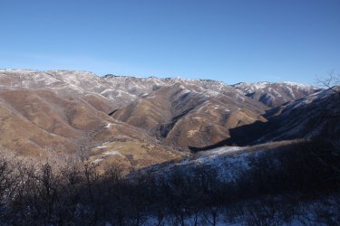
View up Red Butte Canyon

Making my way down George's Hollow
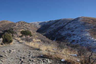
West side view of Wire, This is my usual route to the top.
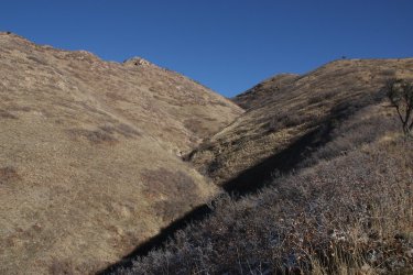
George's Hollow
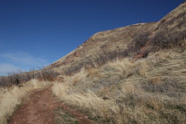
Making my way around Red Butte on the upper trail
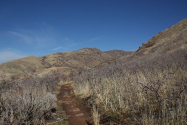
Rounding the corner, Mount Van Cott comes into view.

Making my way around Red Butte Gardens with roughly a 360 foot climb before dropping down into Red Butte Canyon
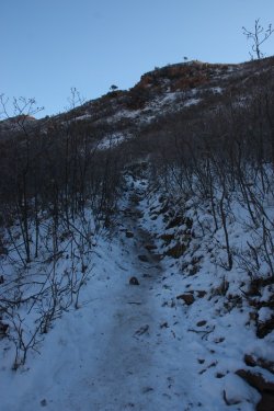
Still cold in the shade. Due to Red Butte this section of the trail doesn't get any sun
this time of the year.
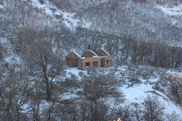
An old structure in Red Butte Gardens
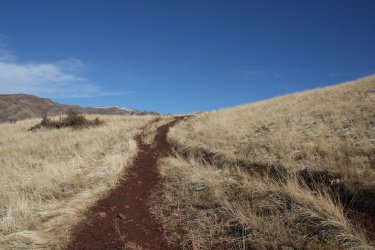
About to crest the hill before dropping into the canyon. The trails were starting to thaw out which meant muddy goings from this
point on.

A look down into Red Butte Canyon, with Van Cott above
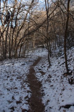
Approaching Red Butte Creek
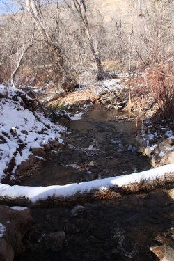
Red Butte Creek
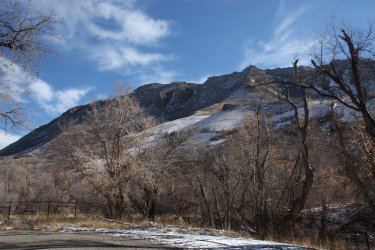
Looking up at the north side of Red Butte from the gravel road
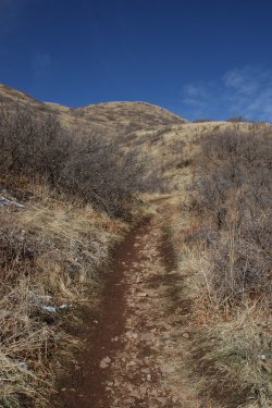
Beginning the climb up Van Cott
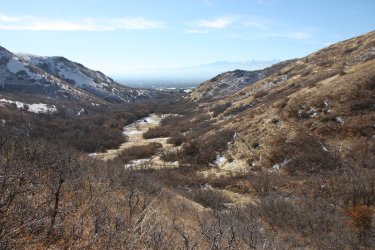
View down towards the mouth of Red Butte Canyon towards the valley
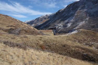
The dam and spillway of Red Butte Reservoir
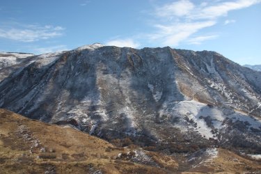
Another shot of the north side of Red Butte

View up Red Butte Canyon from the Van Cott side this time
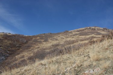
Summit up ahead
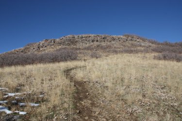
Almost there

On the summit and time for lunch
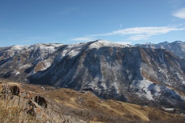
Red Butte and Mount Wire across the canyon. Can you see the beacon?
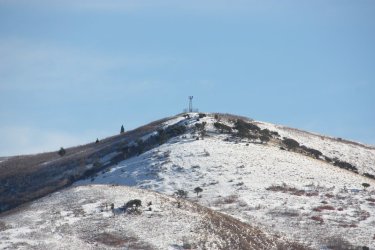
Zoomed in on the beacon from the top of Van Cott
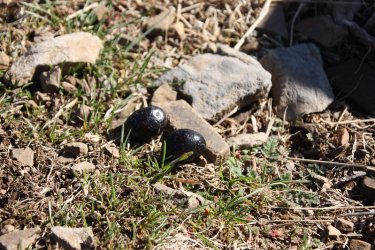
Black jelly beans got me through this hike.

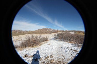
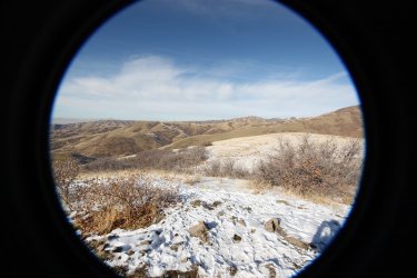
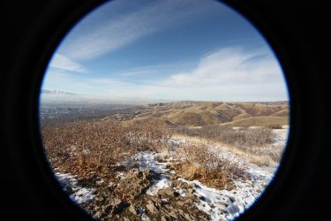
More fisheye views, this time from Van Cott

Heading down of Van Cott
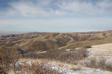
Avenue Twin Peaks ahead
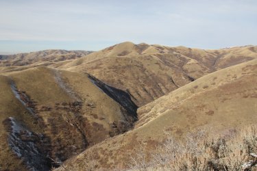
View up Dry Canyon which I'll be hiking up to reach the twin peaks
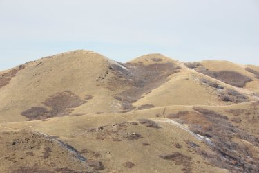
Zoomed in on the Avenues Twin Peaks. You can just make out the trail heading up to the north twin that I'll be taking
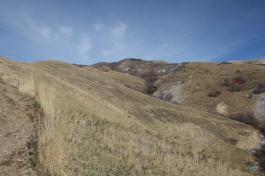
Looking back up at Van Cott - this is my usual route up

Dropping down to Dry Canyon
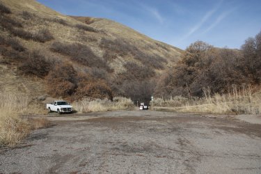
At the mouth of Dry Canyon once again, but this time no shakes. How'd somebody abandoned a truck down here?
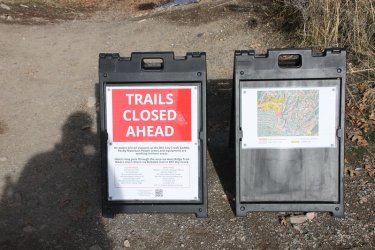
Not sure what this means.
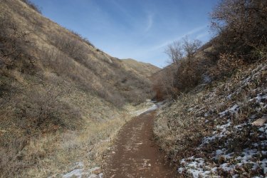
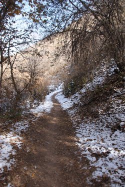

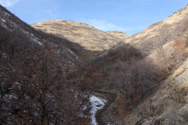

Views up Dry Canyon
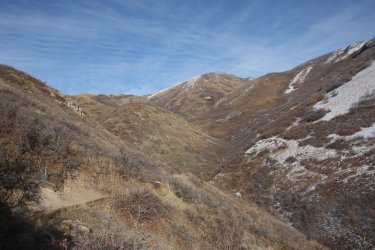
Switching back and up out of Dry Canyon with Black Mountain Ridge at the head of the draw
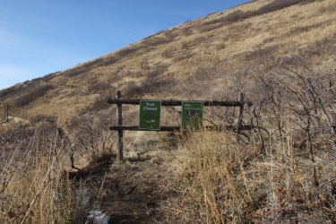
Not sure what this means?
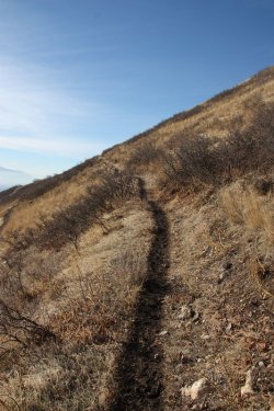
Muddy trail, sticking to my boots pretty good at this point
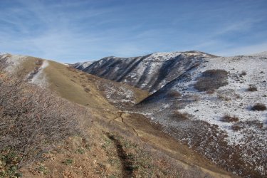
Looking back towards the Van Cott Ridge

Rounding the bend and the south summit of the Avenues Twin Peaks comes into view. I just might make this.
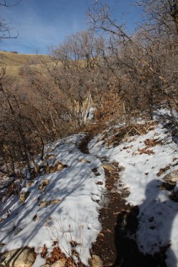
Heading through some scrub oak. I startled a deer coming out of this.
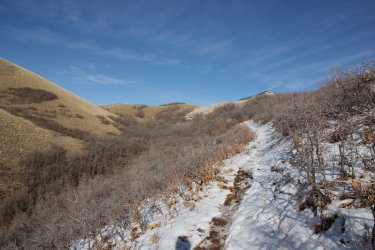
Muddy trail gives way to snowy trail. I wasn't complaining.
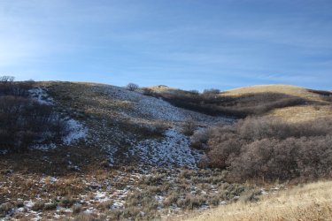
You can just make out the summit of the north twin above
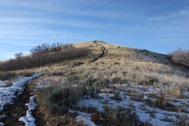
The summit is within reach!
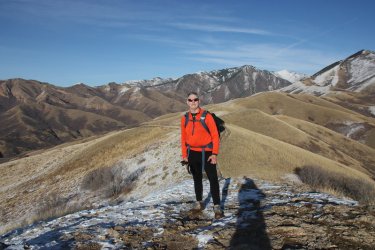
One person of a group of three was kind enough to take my picture on the north twin

Just one more hill to climb, lookin over at the south twin
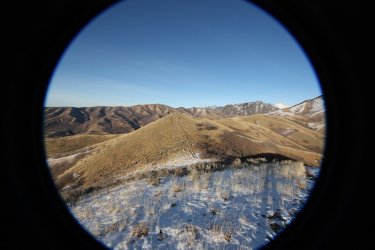
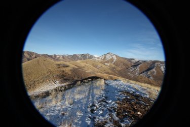
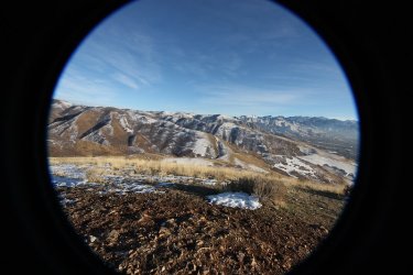
More fisheyes, this time from the top of the south twin
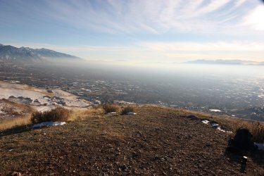
Haze has built up in the valley throughout the day. Time to head down into it.
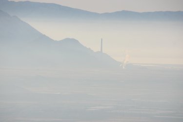
The smokestack for Rio Tinto out to the west in Magna, on the north end of the Oquirrh Mountains. I liked this view as I was
heading down the south twin.
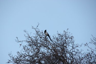
Started the day with a magpie, so it seemed fitting to end the day with one too.
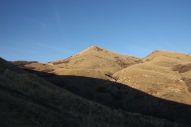
Looking back at the south twin
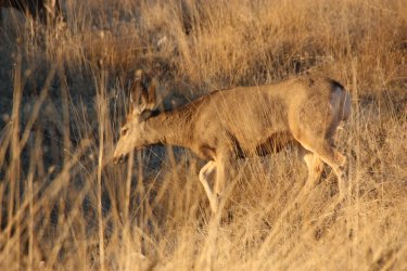
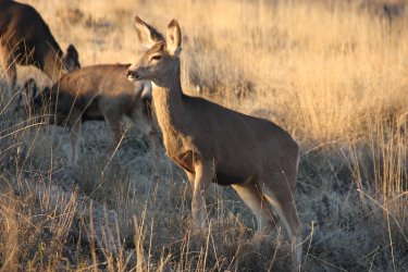
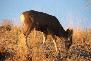
Ran into a few deer near the trailhead

Home sweet home!
I ended up pretty tired and sore on Sunday, but I think I'll live.
The End.
The route I took would take me from my house up to 11th Ave where I would head east, then pick up a pathway down to the Bonneville Shoreline Trail. Once on the BST, I'd take it all the way to the south side of Mount Wire, where I'd then head up to the old airplane beacon on top. Once on the summit, I'd take a quick break for picture taking and a snack before heading down the north side of Wire, and back down to a trail that lies just above the Shoreline Trail. I'd then work my way around Red Butte and Red Butte Gardens before dropping down into Red Butte Canyon. Once I crossed the road in the canyon, I'd start my way up to the summit of Mount Van Cott. At the top, I planned on eating lunch and taking a few more pictures. After lunch, I'd head down the north/west side of Van Cott making my way to the mouth of Dry Canyon. I'd then proceed up Dry Canyon and work my way over to the Avenues Twin Peaks. After another break on the South Twin, I'd head home.
I began the hike in the dark at 6:25 am, and finished up at 4:52 pm for a total of 10 hours and 27 minutes to complete, and had a total of 5,272 feet of elevation gain and loss from my house.

Overview map - while the distance measures out on the map at 17.3 miles, if you add the McGirt Coefficient then it pans out at about 19 miles.

Approaching the University of Utah Hospital as I make my way along the pathway that descends to the Bonneville Shoreline Trail

Arriving at the Shoreline Trail and the mouth of Dry Canyon. Looks like I had the shakes.

Heading south along the Shoreline Trail

Early morning shot of Broads Fork Twin Peaks and Mount Olympus

Some snow on the northern slopes

A look up at west side of Mount Van Cott where I'd be later in the day

Zoomed in on the sunrise on Lone Peak to the south

North side of Red Butte that I'll work my way around

Crossing Red Butte Creek

That bird looks as cold as I felt.
 It was 25 degrees when I left my house, and I don't think it started warming up until I started
climbing Mount Wire.

Approaching the west side of Mount Wire

Not the best shot, but an early morning magpie

Zoomed in, and you can just make out the sun hitting the top of the airplane beacon on Mount Wire. This is a west side view.

One of the many segments of the Shoreline Trail

Working my way to the south side of Wire, with Parleys Ridge in the distance

Sunshine on the south side of Mount Wire - pretty close to where the climbing begins

Let the uphill begin. It took me just a little over two hours to get to this point

Nice shot of Mountain Mahogany

First glimpse of the airplane beacon on top of Wire

Arriving at the summit

Benchmark up top

View across the valley towards the Oquirrh Range


Some fisheye shots from the top

Making my way down the north side of Wire

Zoomed in on the summit of Van Cott to the north of Wire

South side of Red Butte. I'll be making my way down the draw (George's Hollow)

Summit of Van Cott again and the Avenue's Twin Peaks beyond

View up Red Butte Canyon

Making my way down George's Hollow

West side view of Wire, This is my usual route to the top.

George's Hollow

Making my way around Red Butte on the upper trail

Rounding the corner, Mount Van Cott comes into view.

Making my way around Red Butte Gardens with roughly a 360 foot climb before dropping down into Red Butte Canyon

Still cold in the shade. Due to Red Butte this section of the trail doesn't get any sun
this time of the year.

An old structure in Red Butte Gardens

About to crest the hill before dropping into the canyon. The trails were starting to thaw out which meant muddy goings from this
point on.

A look down into Red Butte Canyon, with Van Cott above

Approaching Red Butte Creek

Red Butte Creek

Looking up at the north side of Red Butte from the gravel road

Beginning the climb up Van Cott

View down towards the mouth of Red Butte Canyon towards the valley

The dam and spillway of Red Butte Reservoir

Another shot of the north side of Red Butte

View up Red Butte Canyon from the Van Cott side this time

Summit up ahead

Almost there

On the summit and time for lunch

Red Butte and Mount Wire across the canyon. Can you see the beacon?

Zoomed in on the beacon from the top of Van Cott

Black jelly beans got me through this hike.


More fisheye views, this time from Van Cott

Heading down of Van Cott

Avenue Twin Peaks ahead

View up Dry Canyon which I'll be hiking up to reach the twin peaks

Zoomed in on the Avenues Twin Peaks. You can just make out the trail heading up to the north twin that I'll be taking

Looking back up at Van Cott - this is my usual route up

Dropping down to Dry Canyon

At the mouth of Dry Canyon once again, but this time no shakes.

Not sure what this means.


Views up Dry Canyon

Switching back and up out of Dry Canyon with Black Mountain Ridge at the head of the draw

Not sure what this means?

Muddy trail, sticking to my boots pretty good at this point

Looking back towards the Van Cott Ridge

Rounding the bend and the south summit of the Avenues Twin Peaks comes into view.


Heading through some scrub oak. I startled a deer coming out of this.

Muddy trail gives way to snowy trail. I wasn't complaining.

You can just make out the summit of the north twin above

The summit is within reach!

One person of a group of three was kind enough to take my picture on the north twin

Just one more hill to climb, lookin over at the south twin


More fisheyes, this time from the top of the south twin

Haze has built up in the valley throughout the day. Time to head down into it.

The smokestack for Rio Tinto out to the west in Magna, on the north end of the Oquirrh Mountains. I liked this view as I was
heading down the south twin.

Started the day with a magpie, so it seemed fitting to end the day with one too.

Looking back at the south twin


Ran into a few deer near the trailhead

Home sweet home!
I ended up pretty tired and sore on Sunday, but I think I'll live.
The End.

