- Joined
- Dec 23, 2013
- Messages
- 4,305
Made it out yesterday and completed an 11.2 mile hike to the summit of the Dude Benchmark. The Dude sits on the northern ridge of City Creek Canyon with a lot of ups and downs to get there. Not much for wildlife on this one. I did see a hawk flying down below me at a good distance, and I saw a spotted towhee too, but I wasn't fast enough to get a picture of it. I heard some chuckars, some chickadees, and some turkeys, but I never saw them.
As far a my camera rotation is concerned, it was the Canon Rebel XTi's turn. It has a 9.8 MP sensor and was released in 2006. This camera is a special one to me. It was the first digital EOS that I bought, and it also happens to be the camera that I dumped in Yellowstone Lake on a canoe trip. I let it dry our for over a year before it was able to take pictures again. Besides my Sigma Zoom lens and the tripod, I also hauled up my wide angle Sigma zoom to get some far reaching landscape shots.
The wildflowers are still not at there peak yet, but there were some, spring parsley being the most abundant. I did run into my first glacier lilies of the year though.
Here are some shots of my hike:
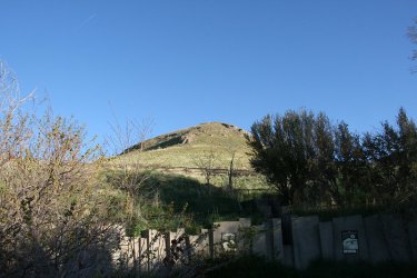
Started at the Ensign Peak Trailhead for this one
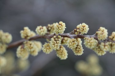
Shrubs budding
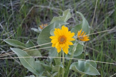
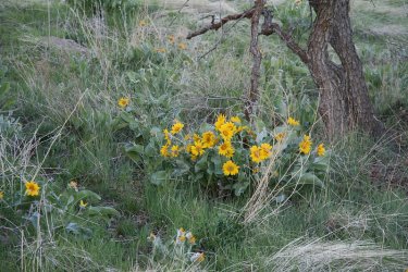
Balsamroot is doing well down low
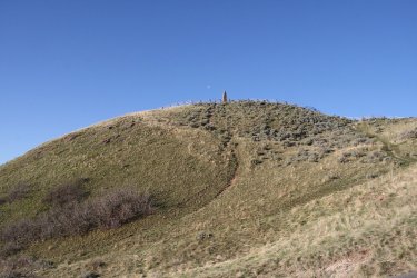
Passing by Ensign
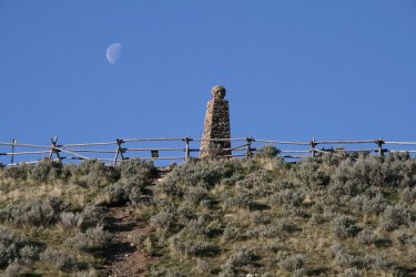
I call this - Moon over Ensign
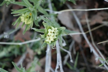
First stonecrop of the season
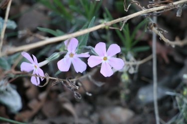
Not a lot of phlox on this hike
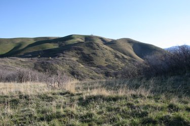
I'm heading up and over these two hills to get up to the cell phone towers on top
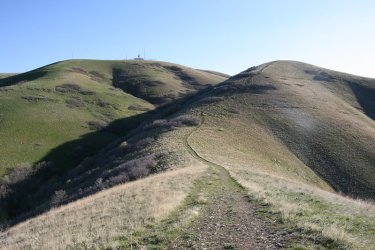
Approaching the second hill
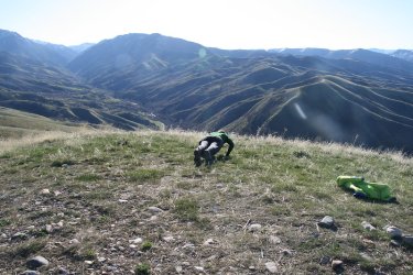
This guy was following me, and when we reached to top of the second hill he dropped and did twenty. Tired me out just watching
him. @Bob, I'm going to need you to drop and do twenty in the Gallatin's in August at each break.
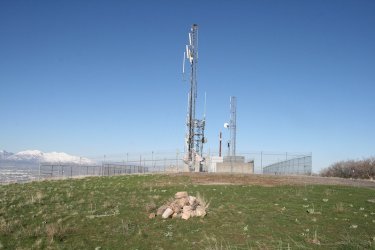
Reaching the towers
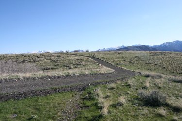
Now time to just head along the ridge to the Dude. The Dude Benchmark can be seen at center right of image. It looks a lot closer
than it really is. At least it did to me.
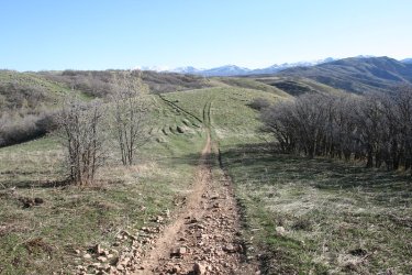
An old Jeep road makes its way across the ridge. I'll be taking a right ahead. The Dude in the upper right hand corner of the image
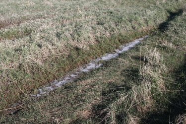
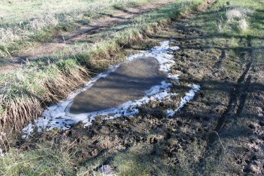
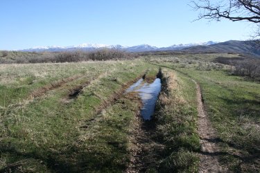
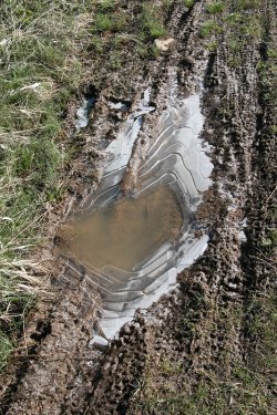
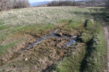
Lots of puddled ice along the ridge. It was 32 degrees when I started out at the trailhead.
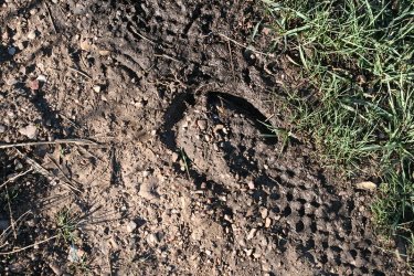
We'll pretend a mule left this.
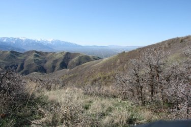
Making some distance from the valley. The road you can see stretching south is 700 East.
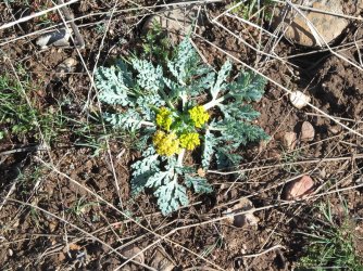
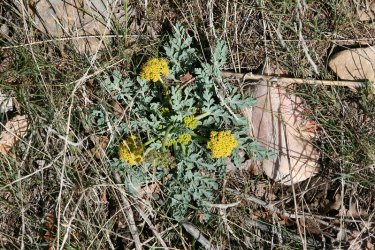
Spring parsley kept me company the entire way
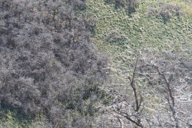
Not a very good shot, but you can just make out the hawk flying below
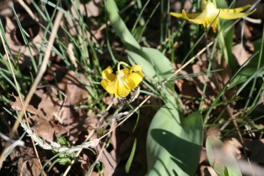
First glacier lily, with a bee to boot!
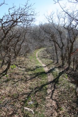
Fairly typical of the old road bed
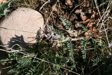
Some vetch. I didn't see a lot of this either.
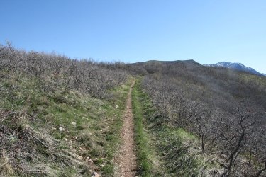
Is the Dude getting any closer? My left knee wishes that it was.
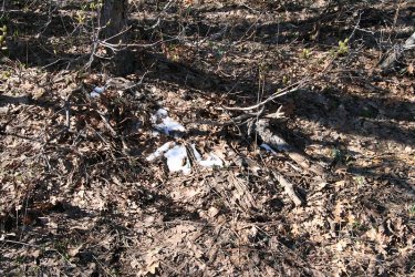
Small patches of snow in the scrub
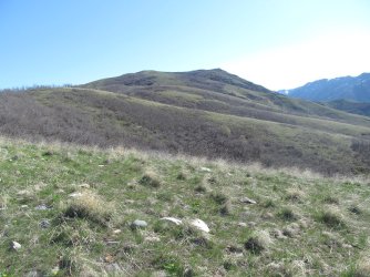
The Dude ahead, with a couple of hills to go before reaching it
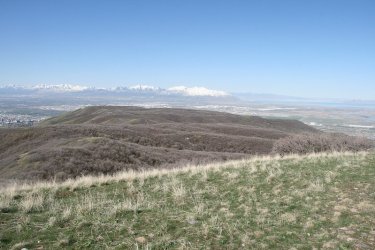
Looking back the way I had travelled along the ridge
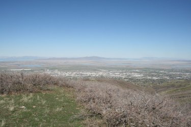
Woods Cross below and Antelope Island in the distance
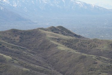
Nice shot of the backsides of the Avenues Twin Peaks that are a favorite, quick go to for me.
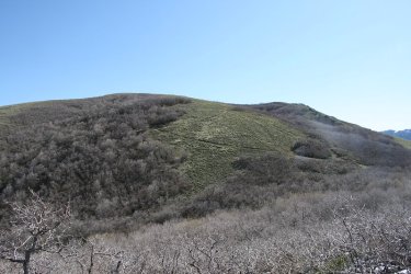
Looking over at the initial climb up the Dude
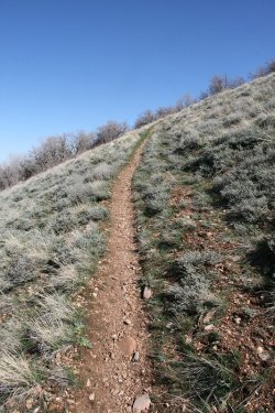
And beginning the climb
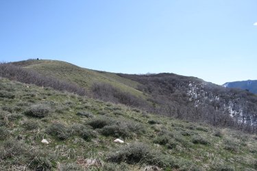
The summit of the Dude on the right
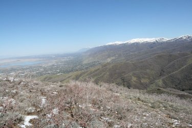
View up the Wasatch towards Bountiful and Farmington
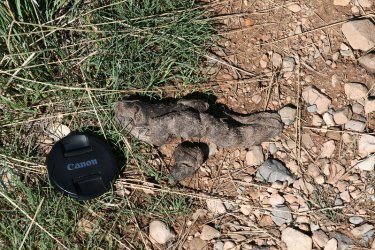
Okay @Outdoor_Fool, is this coyote or cougar? The lens cap is a 67mm one.
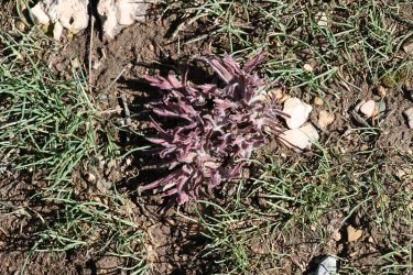
Type of vetch maybe? I liked the color.
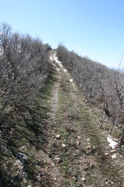
Approaching the end of the old Jeep road near the summit of the Dude
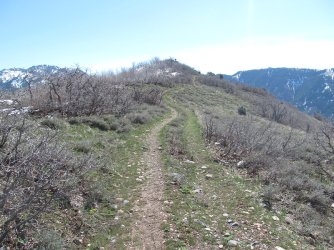
The summit of the Dude Benchmark ahead. It appears that there is a dude on the Dude.
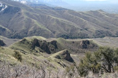
View down towards the cool hilly formations in City Creek Canyon
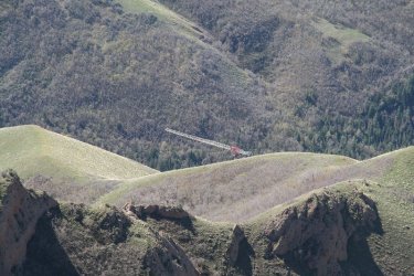
And the crane that they have set up to rebuild the water treatment plant in the canyon
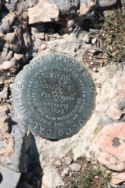
One of three benchmarks on the Dude
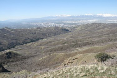
View down City Creek Canyon
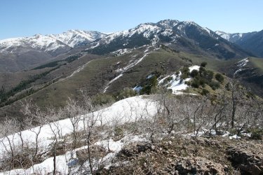
View east towards Burro Peak and the Session Mountains from the summit of the Dude
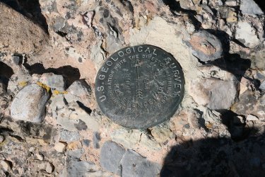
Second Dude benchmark
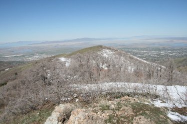
View west towards Antelope Island
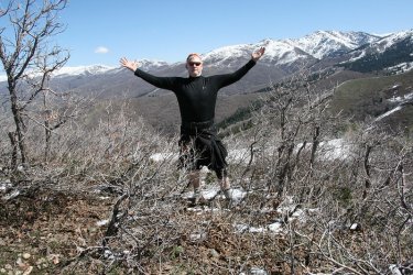
The Dude abides!
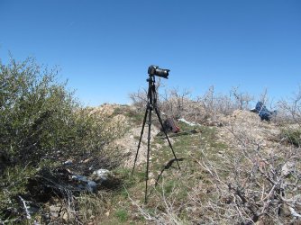
The setup
I then popped on my wide angle (8-16mm) lens for some shots.
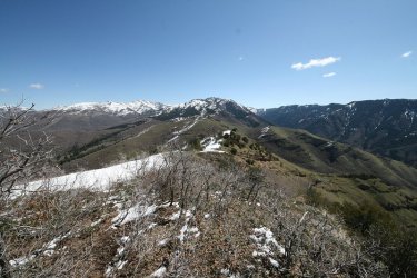
Another look east at Burro Peak, with some of Black Mountain Ridge it the shot too, along with the Sessions
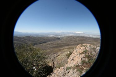
View down City Creek Canyon wide angel style, with the Oquirrh Range way off in the distance.
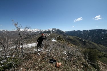
And one for @Rockskipper wherever she may be.
Then it was time to put on the zoom lens and get some shots.
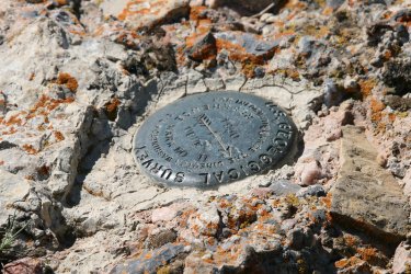
The third benchmark
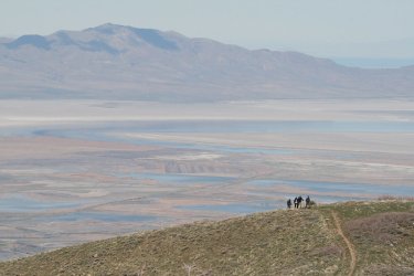
And some Wasatch Mountain Club hikers heading for the Dude, with Frary Peak in the distance.
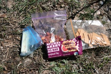
My lunch - some wheat thins, salt-n-vinegar almonds, some habanero cheese, and a fig bar.
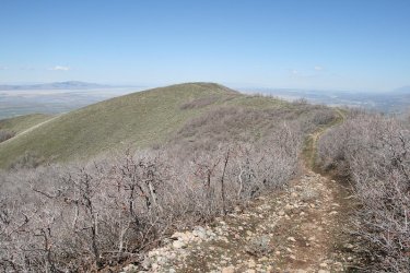
Starting back down.
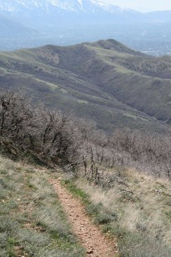
Another Avenues Twin peaks shot with a slightly different perspective
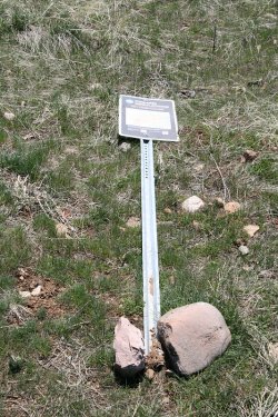
Firearms regulation sign down
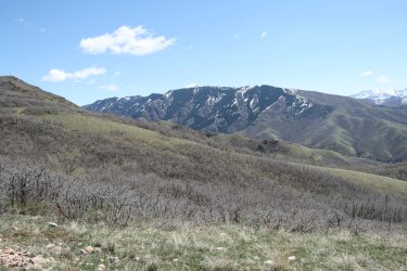
View of Black Mountain Ridge with some afternoon sun shining on it. Summit of the Dude in the upper left
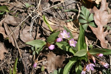
Only spring beauties that I saw
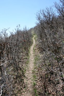
Up another hill
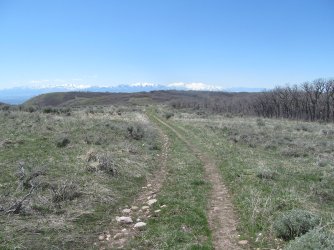
Back in some open terrain
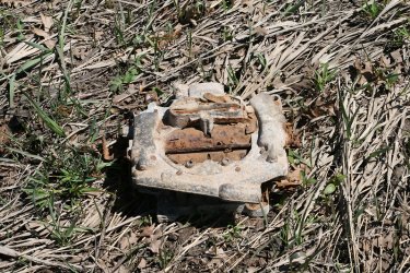
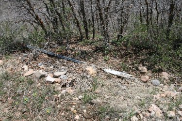
@TractorDoc, what do we have here?
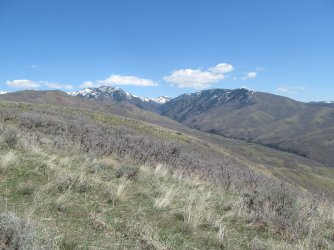
View up City Creek Canyon
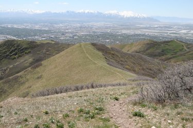
One last hill to climb
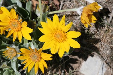
More arrowleaf balsamroot
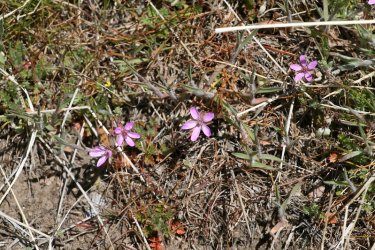
Common storksbill
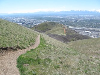
Ensign Peak below on my return
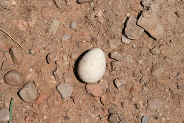
A bird egg on the trail. I moved it off-trail.
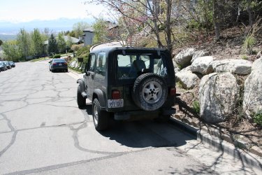
Back at the Jeep! Two weeks a row in the Jeep. I might need a tune up or a tire rotation after all the miles.

Combo pizza this wee for dinner. Can you tell which half is mine?
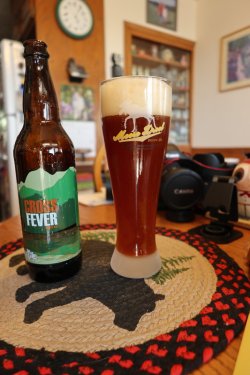
And a Cross Fever amber ale from EPIC Brewery to go with my half of the pizza.
The End.
As far a my camera rotation is concerned, it was the Canon Rebel XTi's turn. It has a 9.8 MP sensor and was released in 2006. This camera is a special one to me. It was the first digital EOS that I bought, and it also happens to be the camera that I dumped in Yellowstone Lake on a canoe trip. I let it dry our for over a year before it was able to take pictures again. Besides my Sigma Zoom lens and the tripod, I also hauled up my wide angle Sigma zoom to get some far reaching landscape shots.
The wildflowers are still not at there peak yet, but there were some, spring parsley being the most abundant. I did run into my first glacier lilies of the year though.
Here are some shots of my hike:

Started at the Ensign Peak Trailhead for this one

Shrubs budding


Balsamroot is doing well down low

Passing by Ensign

I call this - Moon over Ensign

First stonecrop of the season

Not a lot of phlox on this hike

I'm heading up and over these two hills to get up to the cell phone towers on top

Approaching the second hill

This guy was following me, and when we reached to top of the second hill he dropped and did twenty. Tired me out just watching
him.

Reaching the towers

Now time to just head along the ridge to the Dude. The Dude Benchmark can be seen at center right of image. It looks a lot closer
than it really is. At least it did to me.

An old Jeep road makes its way across the ridge. I'll be taking a right ahead. The Dude in the upper right hand corner of the image


Lots of puddled ice along the ridge. It was 32 degrees when I started out at the trailhead.

We'll pretend a mule left this.

Making some distance from the valley. The road you can see stretching south is 700 East.


Spring parsley kept me company the entire way

Not a very good shot, but you can just make out the hawk flying below

First glacier lily, with a bee to boot!

Fairly typical of the old road bed

Some vetch. I didn't see a lot of this either.

Is the Dude getting any closer? My left knee wishes that it was.

Small patches of snow in the scrub

The Dude ahead, with a couple of hills to go before reaching it

Looking back the way I had travelled along the ridge

Woods Cross below and Antelope Island in the distance

Nice shot of the backsides of the Avenues Twin Peaks that are a favorite, quick go to for me.

Looking over at the initial climb up the Dude

And beginning the climb

The summit of the Dude on the right

View up the Wasatch towards Bountiful and Farmington

Okay @Outdoor_Fool, is this coyote or cougar? The lens cap is a 67mm one.

Type of vetch maybe? I liked the color.

Approaching the end of the old Jeep road near the summit of the Dude

The summit of the Dude Benchmark ahead. It appears that there is a dude on the Dude.

View down towards the cool hilly formations in City Creek Canyon

And the crane that they have set up to rebuild the water treatment plant in the canyon

One of three benchmarks on the Dude

View down City Creek Canyon

View east towards Burro Peak and the Session Mountains from the summit of the Dude

Second Dude benchmark

View west towards Antelope Island

The Dude abides!

The setup
I then popped on my wide angle (8-16mm) lens for some shots.

Another look east at Burro Peak, with some of Black Mountain Ridge it the shot too, along with the Sessions

View down City Creek Canyon wide angel style, with the Oquirrh Range way off in the distance.

And one for @Rockskipper wherever she may be.
Then it was time to put on the zoom lens and get some shots.

The third benchmark

And some Wasatch Mountain Club hikers heading for the Dude, with Frary Peak in the distance.

My lunch - some wheat thins, salt-n-vinegar almonds, some habanero cheese, and a fig bar.

Starting back down.

Another Avenues Twin peaks shot with a slightly different perspective

Firearms regulation sign down

View of Black Mountain Ridge with some afternoon sun shining on it. Summit of the Dude in the upper left

Only spring beauties that I saw

Up another hill

Back in some open terrain

@TractorDoc, what do we have here?

View up City Creek Canyon

One last hill to climb

More arrowleaf balsamroot

Common storksbill

Ensign Peak below on my return

A bird egg on the trail. I moved it off-trail.

Back at the Jeep! Two weeks a row in the Jeep. I might need a tune up or a tire rotation after all the miles.

Combo pizza this wee for dinner. Can you tell which half is mine?

And a Cross Fever amber ale from EPIC Brewery to go with my half of the pizza.
The End.
Last edited:

 You do know that I am having my left knee scoped two days after this trip.
