- Joined
- Dec 23, 2013
- Messages
- 4,233
Thayne Peak is located up Millcreek Canyon and one that I had never been up before, so yesterday I drug my kids along to see if we could make it to the top. The trailhead is located about 3.4 miles up Millcreek on the south side of the road and is the beginning of the Desolation Trail.
We arrived at the trailhead at 9:15 in the morning with my car thermometer reading 39 degrees in the canyon, so I knew the first part of our hike would be a bit chilly. After starting up the trail, we soon arrived at a trail junction. At this point, you have a choice of going two different ways. The first is Thayne Canyon which is the shortest route at just over 2.7 miles or you can stay right and take the Desolation Trail which is approximately 4.5 miles to the top of Thayne Peak. If you choose the Desolation route, it will take you to a location known as the Salt Lake Valley Overlook where you can get a nice view of the valley to the west.
Since I tend to be lazy, I chose the Thayne Canyon route and we began to ascend the canyon. After a couple hundred yards I could tell that it it is going to be very cold in the bottom of the canyon. It felt like it is below freezing so we kept a good pace to keep warm. About half way up the canyon we ran into snow and the trail became extremely icy. As we moved on up the canyon, the trail started getting steeper and eventually we stopped and I gave my kids one microspike each to help them from slipping as we worked our way up. Of course this left me without any traction and I managed to slip a couple of times as the going got pretty slow.
Eventually, we broke out into sunshine but the trail is still snow covered and icy. At this point, we could see Thayne Peak so we decided to leave the trail and work our way through the snow towards the saddle to the south of the peak. Once at the saddle, the snow had melted and we are able to pick up the trail that heads up towards the summit ridge. The trail is gets steep at this point but it is relatively short and we eventually reached the summit.
Once on top, we took a break and ate our lunch. The top is wooded so you have to move around a bit to get good scenic views in different directions. We stayed up top for about forty five minutes before heading back down. On our way back down the snow had warmed up and we had to posthole as we worked our way back to the trail.
Once back on the trail, we descended about three quarters of a mile before picking up the Desolation Trail and taking it back to the trailhead. I didn't want to hike down the canyon without microspikes. Along the way back we stopped near the Salt Lake Valley Overlook and took a break. After our break, it took us about forty minutes before we arrived back at the trailhead.
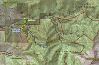
Route Map
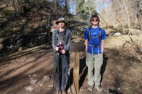
Desolation Trail Trailhead
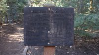
Mileage sign
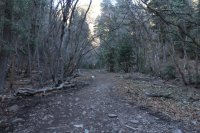
Desolation Trail
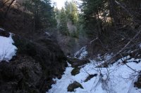
Snow up Thayne Canyon
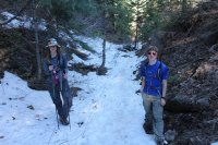
A wee bit nippy!
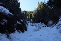
Thayne Canyon - still not in the sun.
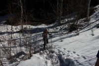
Sun at last!
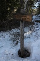
Trail sign
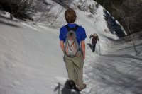
Getting close to heading off-trail
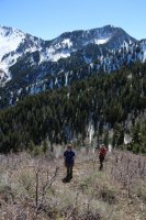
Just above the saddle with Mount Raymond in the background
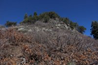
Looking up at the summit ridge
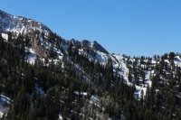
First view of Triangle Peak
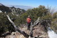
Almost there - Katie approaches the top of the ridge
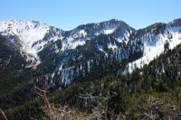
Gobblers Knob and Mount Raymond
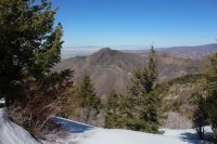
Grandeur Peak to the north, seen from Thayne Peak
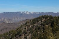
Grandview Peak in the distance
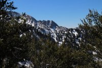
Triangle Peak framed by some Mountain Mahogany
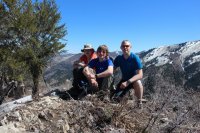
Huey, Dewey and Louie on top
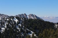
Mount Olympus to the east
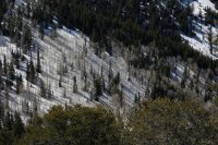
Looking down just off the saddle
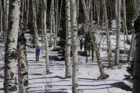
Making our way back to the trail. For some reason this shot reminds me of a scene from Jeremiah Johnson
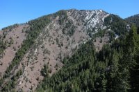
Thayne Peak
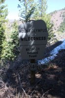
Wilderness sign on the Desolation Trail
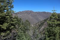
Church Fork Peak
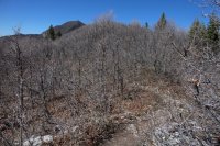
The trail through scrub oak with Grandeur Peak in the distance
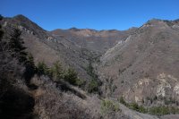
The Church Fork drainage
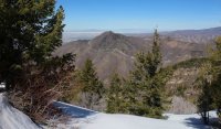
Featured image for home page:
We arrived at the trailhead at 9:15 in the morning with my car thermometer reading 39 degrees in the canyon, so I knew the first part of our hike would be a bit chilly. After starting up the trail, we soon arrived at a trail junction. At this point, you have a choice of going two different ways. The first is Thayne Canyon which is the shortest route at just over 2.7 miles or you can stay right and take the Desolation Trail which is approximately 4.5 miles to the top of Thayne Peak. If you choose the Desolation route, it will take you to a location known as the Salt Lake Valley Overlook where you can get a nice view of the valley to the west.
Since I tend to be lazy, I chose the Thayne Canyon route and we began to ascend the canyon. After a couple hundred yards I could tell that it it is going to be very cold in the bottom of the canyon. It felt like it is below freezing so we kept a good pace to keep warm. About half way up the canyon we ran into snow and the trail became extremely icy. As we moved on up the canyon, the trail started getting steeper and eventually we stopped and I gave my kids one microspike each to help them from slipping as we worked our way up. Of course this left me without any traction and I managed to slip a couple of times as the going got pretty slow.
Eventually, we broke out into sunshine but the trail is still snow covered and icy. At this point, we could see Thayne Peak so we decided to leave the trail and work our way through the snow towards the saddle to the south of the peak. Once at the saddle, the snow had melted and we are able to pick up the trail that heads up towards the summit ridge. The trail is gets steep at this point but it is relatively short and we eventually reached the summit.
Once on top, we took a break and ate our lunch. The top is wooded so you have to move around a bit to get good scenic views in different directions. We stayed up top for about forty five minutes before heading back down. On our way back down the snow had warmed up and we had to posthole as we worked our way back to the trail.
Once back on the trail, we descended about three quarters of a mile before picking up the Desolation Trail and taking it back to the trailhead. I didn't want to hike down the canyon without microspikes. Along the way back we stopped near the Salt Lake Valley Overlook and took a break. After our break, it took us about forty minutes before we arrived back at the trailhead.

Route Map

Desolation Trail Trailhead

Mileage sign

Desolation Trail

Snow up Thayne Canyon

A wee bit nippy!

Thayne Canyon - still not in the sun.

Sun at last!

Trail sign

Getting close to heading off-trail

Just above the saddle with Mount Raymond in the background

Looking up at the summit ridge

First view of Triangle Peak

Almost there - Katie approaches the top of the ridge

Gobblers Knob and Mount Raymond

Grandeur Peak to the north, seen from Thayne Peak

Grandview Peak in the distance

Triangle Peak framed by some Mountain Mahogany

Huey, Dewey and Louie on top

Mount Olympus to the east

Looking down just off the saddle

Making our way back to the trail. For some reason this shot reminds me of a scene from Jeremiah Johnson

Thayne Peak

Wilderness sign on the Desolation Trail

Church Fork Peak

The trail through scrub oak with Grandeur Peak in the distance

The Church Fork drainage
Featured image for home page:

Last edited:

 I actually had a long sleeve shirt in my day pack, but I was to stubborn to take the time to put it on. I kept thinking that the sun would soon come over the ridge and warm me up. We had a really mild winter this year, so hiking season is earlier than usual for folks here in Salt Lake.