- Joined
- Jul 23, 2013
- Messages
- 1,665
Well, today was the day I was going to start the 63+ mile hike from Summit Park to Provo I had been planning
all spring. I had gotten time off work in hopes that this would be a pleasant week for the trip. Not too hot, not too cold. Then that which shall not be named hit the area yesterday.
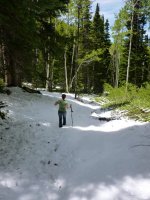
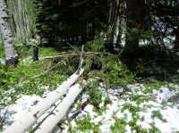
With all the unexpected snow, I opted to scout out the beginning of the route this morning. The snow is only a couple inches deep at the moment and the trip could still be doable, but some of the steeper sections of trail would be wet and slushy enough to make conditions just right for increased risk of slipping and twisting a knee the wrong way, especially with a 25lb pack, even with poles. It would probably only get worse up to Brighton before conditions got better.
If I knew that most of the snow would be melted out by the end of the day, I'd still give it a go. That would probably be the case if we had a full day of sun today, but with all the lingering clouds and lower temps hanging around, that likely won't happen.
I've got a couple weeks off in July, so it looks like I'll now be pushing this trip off until then and my wife will probably be able to join me for it. I need to ensure a trip to the Uintas during this time as well.
In the mean time, I'm now looking at driving up to Brighton early tomorrow morning to have a look, and will either have my wife drop me off there, or just have her drop me off at Grove Creek in Pleasant Grove a little later in the day so I can still get a couple bag nights in doing the latter sections of the route.
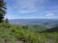
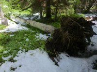
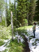
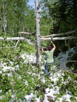
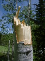
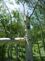
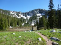
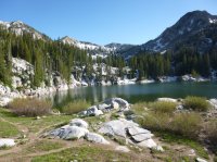
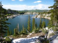
Here are a few pics I took while scouting the conditions of the route out of Summit Park this morning.
The terminus...

Toll Canyon with Murdock Peak in the distance...

Trail back up and over into Summit Park...

I feel like this could all fit on a "Wasatch Conditions" thread.
Anyway...to be continued...
Sent from my HTCONE using Tapatalk
all spring. I had gotten time off work in hopes that this would be a pleasant week for the trip. Not too hot, not too cold. Then that which shall not be named hit the area yesterday.
With all the unexpected snow, I opted to scout out the beginning of the route this morning. The snow is only a couple inches deep at the moment and the trip could still be doable, but some of the steeper sections of trail would be wet and slushy enough to make conditions just right for increased risk of slipping and twisting a knee the wrong way, especially with a 25lb pack, even with poles. It would probably only get worse up to Brighton before conditions got better.
If I knew that most of the snow would be melted out by the end of the day, I'd still give it a go. That would probably be the case if we had a full day of sun today, but with all the lingering clouds and lower temps hanging around, that likely won't happen.
I've got a couple weeks off in July, so it looks like I'll now be pushing this trip off until then and my wife will probably be able to join me for it. I need to ensure a trip to the Uintas during this time as well.
In the mean time, I'm now looking at driving up to Brighton early tomorrow morning to have a look, and will either have my wife drop me off there, or just have her drop me off at Grove Creek in Pleasant Grove a little later in the day so I can still get a couple bag nights in doing the latter sections of the route.
Here are a few pics I took while scouting the conditions of the route out of Summit Park this morning.
The terminus...

Toll Canyon with Murdock Peak in the distance...

Trail back up and over into Summit Park...

I feel like this could all fit on a "Wasatch Conditions" thread.
Anyway...to be continued...
Sent from my HTCONE using Tapatalk

