- Joined
- Aug 21, 2018
- Messages
- 674
I have finally sorted thru enough of my pictures from my Mid September visit to post a trip report. It will be picture heavy -- I've tried to resize most images so as not to crash the internet. This year's trip was a solo event (sort of). My hiking partner fell victim to last minute family events. . . my folks were in the parks at the same time but they had their own itinerary with much different plans than mine.
After arriving in Bozeman, getting the rental car, and stopping for supplies I headed South on US-191 toward the West Entrance.
Proof of my arrival with Black Butte in the background. Self portraits usually involve funny angles because the camera gets placed on whatever object is handy to take the pic, in this case the rental car.
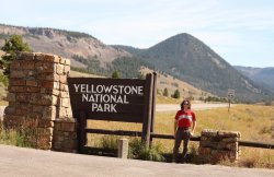
Yes, I need a haircut.
Arrival day involved getting settled and visiting several boardwalk areas with the folks.
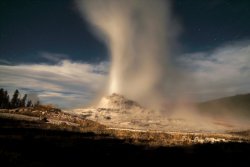
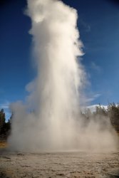
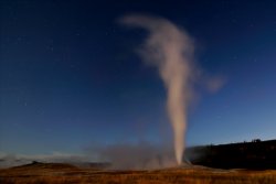
I try to stay on Eastern Time during my visit to minimize jet lag when returning home, so I was typically wide awake by 5AM or earlier. On Sunday the 15th I was up and sitting near Old Faithful about that time without another person around. The moon was full two days prior and still threw out enough light to make the entire Upper Geyser Basin visible once your eyes adjusted. I tried playing around with some time exposure photography when OF erupted, this is one of my favorites.
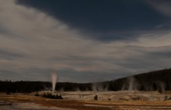
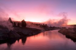
I walked around Upper Geyser Basin after OF's eruption and was treated to a lovely sunrise over the Firehole River.
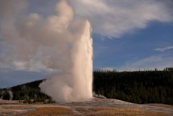
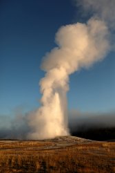
In fact I walked around long enough to catch another OF eruption once the sun was up.
The Upper Geyser Basin is nice and all, but I had larger plans for the day. I wanted to hike down to Shoshone Geyser Basin and back -- a 20 mile round trip -- so it was time to get to the trailhead.
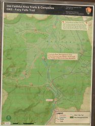
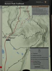
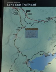
A trailhead map of the objective.
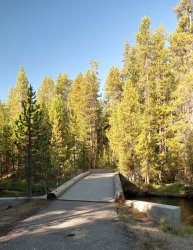
The first two miles of hiking are on an old roadbed. Coincidentally enough @Pringles has recently posted a trip report heading down this very same path to Lonestar Geyser. It is nice and wide and follows the Firehole River for a good part of the way.
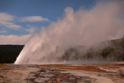
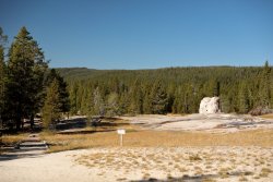
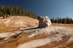
Lonestar Geyser is there to greet you at the end of the road. No one else was present at my 9:30AM arrival but several hikers had noted Lonestar's eruption around 9AM in the logbook. It was resting quietly now.
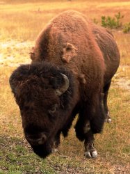
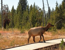
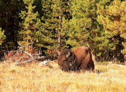
After a quick wardrobe change (swapped out pants for shorts) I moved on down the trail. Not far along a lone Bison was resting nearby. Spoiler alert -- this would be the only large mammal (people excluded) I would see along the trail today.
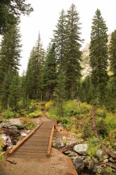
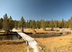
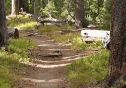
The trail was easy to follow and had minimal elevation changes the entire way. At one point the continental divide is crossed at Grant's Pass but no signage is present to mark the occasion. Sturdy bridges and boardwalks keep your feet dry early on.
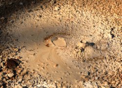
Not far from Lonestar are several small thermal areas. I found what I think is the world's tiniest volcano here.
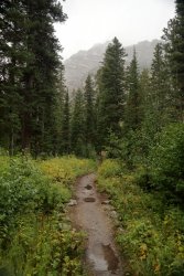
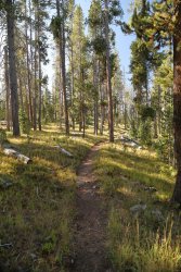
The trail offered a nice balance of hiking thru woods and meadows over the next four miles.
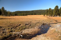
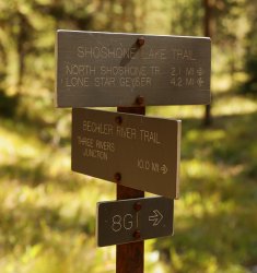
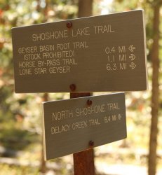
A little over six miles in the Shoshone Lake Trail meets the Bechler River Trail. I hope to journey down that direction on a future visit.
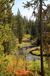
The next several miles have more visual appeal (in my opinion) as you follow Shoshone Creek along the trail.
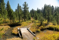
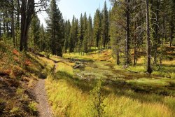
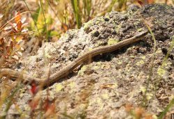
Not a mammal, but a snake did cross my path.
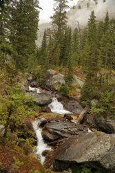
More visually appealing trailside creek imagery.
Almost There!
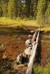
The creek crossings get more primitive along the way.
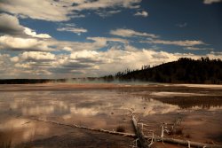
In dramatic fashion the trail drops out of the forest and the Shoshone Geyser Basin stretches out in front of you.

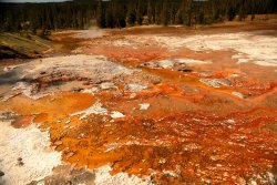
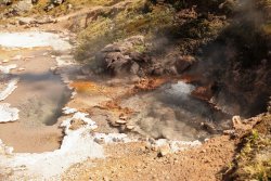
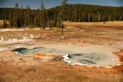
The next series of pictures are various thermal features I found fascinating in the basin. I took a picture of just about everything that bubbled, hissed, or emitted steam.
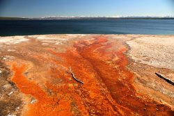
Look close and you can see the trail in several pics, it runs right along side many colorful areas.
This one looks like a face. Can you see the two eyes and mouth?
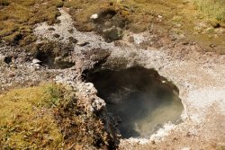
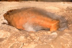
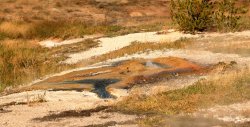
Shoshone Creek Runs right thru the basin, much like the Firehole River runs thru the Upper Geyser Basin.
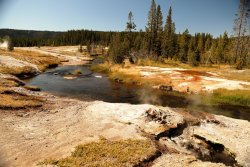
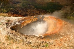
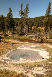
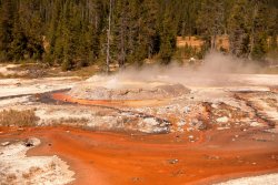
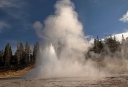
The most active feature in the basin is Minute Man Geyser. It would erupt for about 10-15 seconds nearly every minute. There was some give and take to that schedule that I will touch on a few pics later.
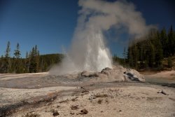
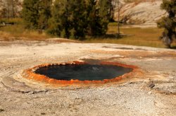
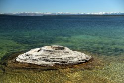
Union Geyser is one of the largest in the basin, but it has been dormant for several decades. I believe the largest cone in the center is Union.
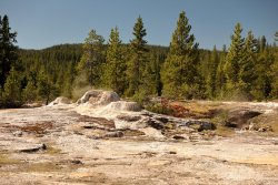
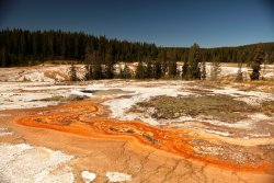
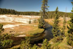
Another geyser erupting in the distance. The Park Service has prohibited off trail travel in the geyser basins since 2016 so exploring these areas was not an option.
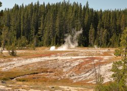
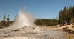
After spending the better part of an hour exploring the geyser basin I made my way back to Minute Man. I set my camera up with the self timer (I don't have a remote) on a stump and tried to run/catch myself in the pic while Minute Man was erupting. I could never time it quite right and ended up with a dozen or so pics of me standing next to an un-erupting cone. Fate intervened though and two rangers from the Norris Geyser Basin happened to walk by to take this pic. I returned the favor for them. I wore my Backcountry Post shirt on this day to give the Shoshone Geyser Basin some love from the home team but my pack/bear spray sort of makes that difficult to see. Its the thought that counts, right?
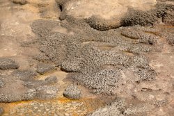
Exquisite Beading near the base of Minute Man Geyser.
After eating my lunch that included a heavy portion of Reese's Pieces I knew it was time I should start heading back. I believe it was nearing 2PM and wanted to make sure I had returned to the trail head by dark. Before taking the long walk back I did take the short side trail to Shoshone Lake just North of the Geyser Basin.
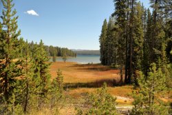
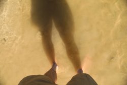
I found a nice kayak landing area where I took off my shoes and cooled off my feet for a bit.
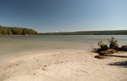
I stirred up the lake bottom so you did not have to look at my feet.
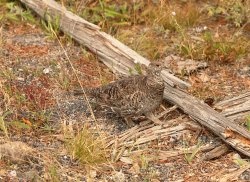
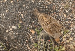
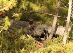
I laced back up and was soon heading North. Several friends kept me company on this part of the journey.
I made it back to Lonestar Geyser a little after 5PM. I knew it erupts every three hours and was probably due around 6PM so I took a break and waited.
Around 5:45 I was treated to the full eruption.
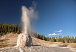
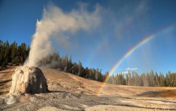
It was a great way to end a great hiking day. No one else was around at this point (I had passed/seen less than half a dozen people all day) so I had the eruption all to myself. I walked around for several different perspectives. . . just the right angle with the sun produced a geyser rainbow!
Somehow it seems I've foolishly hit the "Post" button. I will leave off here with Day One and continue with another post for following days. There are enough pictures here to make a second post less confusing for me anyway!
After arriving in Bozeman, getting the rental car, and stopping for supplies I headed South on US-191 toward the West Entrance.
Proof of my arrival with Black Butte in the background. Self portraits usually involve funny angles because the camera gets placed on whatever object is handy to take the pic, in this case the rental car.

Yes, I need a haircut.
Arrival day involved getting settled and visiting several boardwalk areas with the folks.
I try to stay on Eastern Time during my visit to minimize jet lag when returning home, so I was typically wide awake by 5AM or earlier. On Sunday the 15th I was up and sitting near Old Faithful about that time without another person around. The moon was full two days prior and still threw out enough light to make the entire Upper Geyser Basin visible once your eyes adjusted. I tried playing around with some time exposure photography when OF erupted, this is one of my favorites.

I walked around Upper Geyser Basin after OF's eruption and was treated to a lovely sunrise over the Firehole River.

In fact I walked around long enough to catch another OF eruption once the sun was up.

The Upper Geyser Basin is nice and all, but I had larger plans for the day. I wanted to hike down to Shoshone Geyser Basin and back -- a 20 mile round trip -- so it was time to get to the trailhead.
A trailhead map of the objective.

The first two miles of hiking are on an old roadbed. Coincidentally enough @Pringles has recently posted a trip report heading down this very same path to Lonestar Geyser. It is nice and wide and follows the Firehole River for a good part of the way.

Lonestar Geyser is there to greet you at the end of the road. No one else was present at my 9:30AM arrival but several hikers had noted Lonestar's eruption around 9AM in the logbook. It was resting quietly now.


After a quick wardrobe change (swapped out pants for shorts) I moved on down the trail. Not far along a lone Bison was resting nearby. Spoiler alert -- this would be the only large mammal (people excluded) I would see along the trail today.

The trail was easy to follow and had minimal elevation changes the entire way. At one point the continental divide is crossed at Grant's Pass but no signage is present to mark the occasion. Sturdy bridges and boardwalks keep your feet dry early on.

Not far from Lonestar are several small thermal areas. I found what I think is the world's tiniest volcano here.

The trail offered a nice balance of hiking thru woods and meadows over the next four miles.


A little over six miles in the Shoshone Lake Trail meets the Bechler River Trail. I hope to journey down that direction on a future visit.

The next several miles have more visual appeal (in my opinion) as you follow Shoshone Creek along the trail.


Not a mammal, but a snake did cross my path.

More visually appealing trailside creek imagery.

Almost There!

The creek crossings get more primitive along the way.

In dramatic fashion the trail drops out of the forest and the Shoshone Geyser Basin stretches out in front of you.

The next series of pictures are various thermal features I found fascinating in the basin. I took a picture of just about everything that bubbled, hissed, or emitted steam.
Look close and you can see the trail in several pics, it runs right along side many colorful areas.


This one looks like a face. Can you see the two eyes and mouth?


Shoshone Creek Runs right thru the basin, much like the Firehole River runs thru the Upper Geyser Basin.


The most active feature in the basin is Minute Man Geyser. It would erupt for about 10-15 seconds nearly every minute. There was some give and take to that schedule that I will touch on a few pics later.


Union Geyser is one of the largest in the basin, but it has been dormant for several decades. I believe the largest cone in the center is Union.


Another geyser erupting in the distance. The Park Service has prohibited off trail travel in the geyser basins since 2016 so exploring these areas was not an option.

After spending the better part of an hour exploring the geyser basin I made my way back to Minute Man. I set my camera up with the self timer (I don't have a remote) on a stump and tried to run/catch myself in the pic while Minute Man was erupting. I could never time it quite right and ended up with a dozen or so pics of me standing next to an un-erupting cone. Fate intervened though and two rangers from the Norris Geyser Basin happened to walk by to take this pic. I returned the favor for them. I wore my Backcountry Post shirt on this day to give the Shoshone Geyser Basin some love from the home team but my pack/bear spray sort of makes that difficult to see. Its the thought that counts, right?

Exquisite Beading near the base of Minute Man Geyser.

After eating my lunch that included a heavy portion of Reese's Pieces I knew it was time I should start heading back. I believe it was nearing 2PM and wanted to make sure I had returned to the trail head by dark. Before taking the long walk back I did take the short side trail to Shoshone Lake just North of the Geyser Basin.

I found a nice kayak landing area where I took off my shoes and cooled off my feet for a bit.

I stirred up the lake bottom so you did not have to look at my feet.

I laced back up and was soon heading North. Several friends kept me company on this part of the journey.


I made it back to Lonestar Geyser a little after 5PM. I knew it erupts every three hours and was probably due around 6PM so I took a break and waited.
Around 5:45 I was treated to the full eruption.

It was a great way to end a great hiking day. No one else was around at this point (I had passed/seen less than half a dozen people all day) so I had the eruption all to myself. I walked around for several different perspectives. . . just the right angle with the sun produced a geyser rainbow!

Somehow it seems I've foolishly hit the "Post" button. I will leave off here with Day One and continue with another post for following days. There are enough pictures here to make a second post less confusing for me anyway!
Last edited:

