- Joined
- May 16, 2016
- Messages
- 1,612
7/22 - 8/1/25
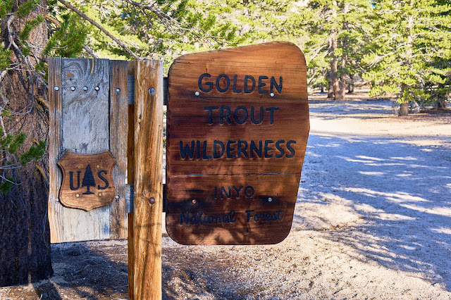
Inyo NF and Sequoia NP
Trailhead: Cottonwood Pass
Camera: Sony A7CR and Tamron 28 - 200 lens
I had big plans to see a part of SEKI that I had not seen before. It was going to involve a lot of elevation gains and a lot of off-trail travel. Then my son and I did a 5 night trip in the Smokies and I realized that I had let my training slip (I had broke my shoulder in March and that slowed me down a lot) and there was no way I'd be able to do what I had planned. So, I pivoted to an area I had seen before with the idea of seeing some past favorites as well as options for some new spots.
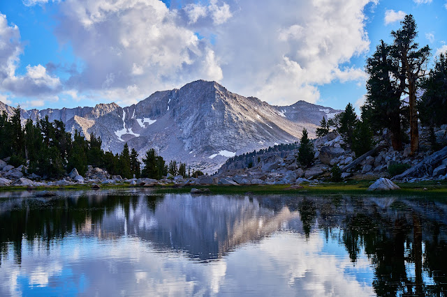
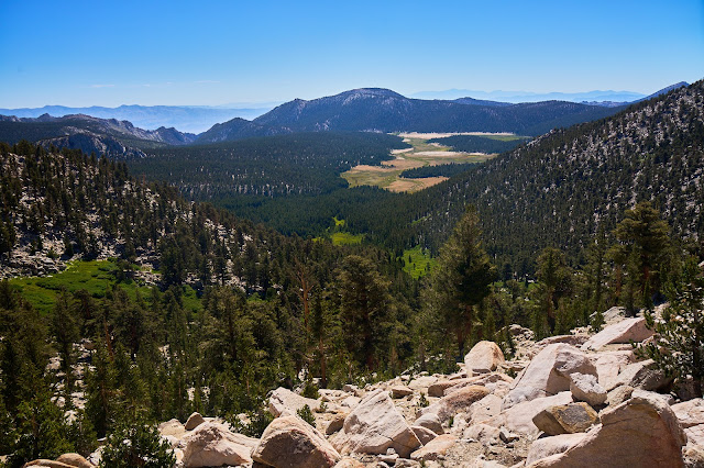
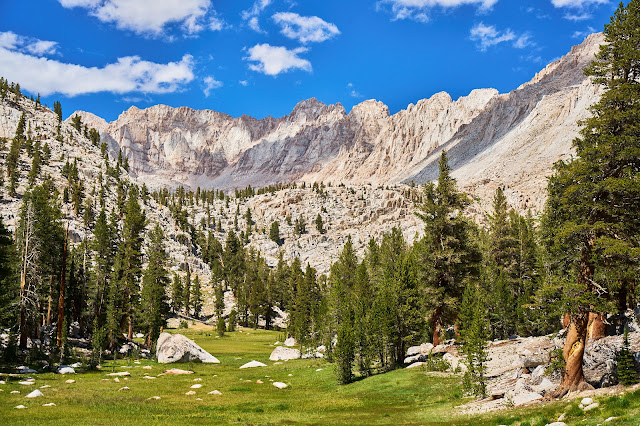
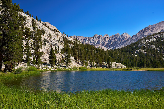
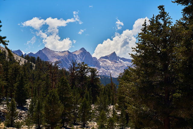
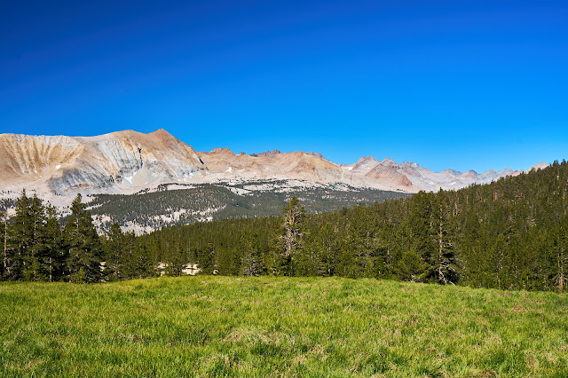
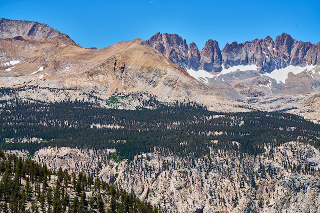
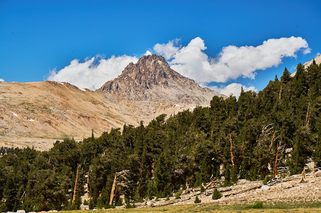
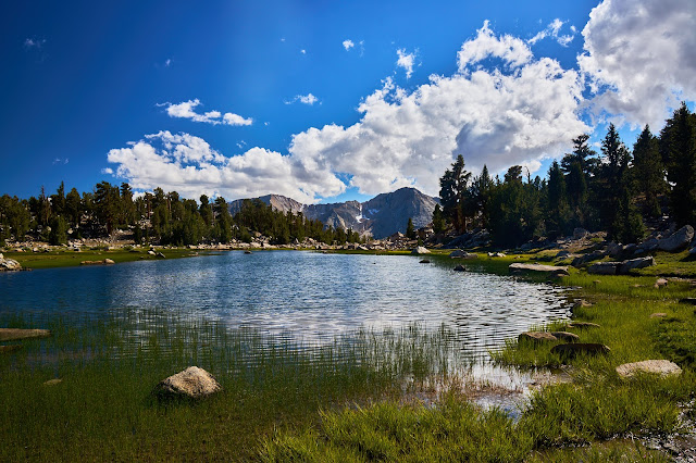
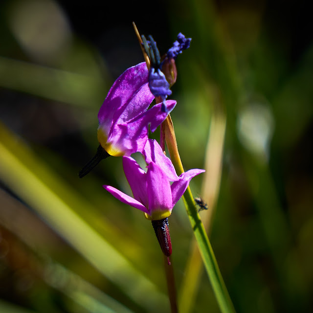
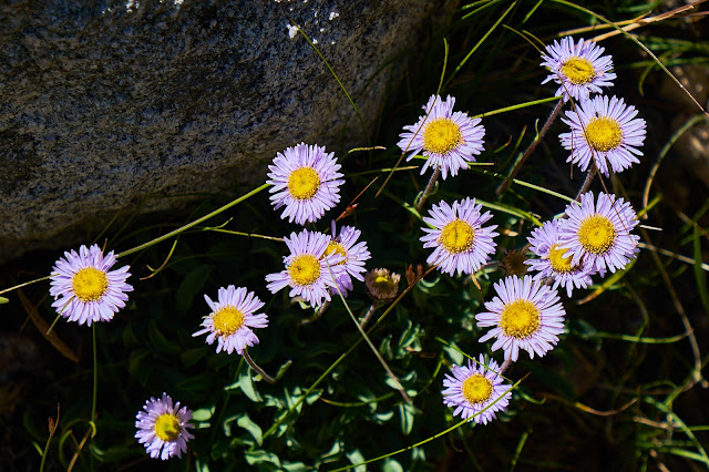
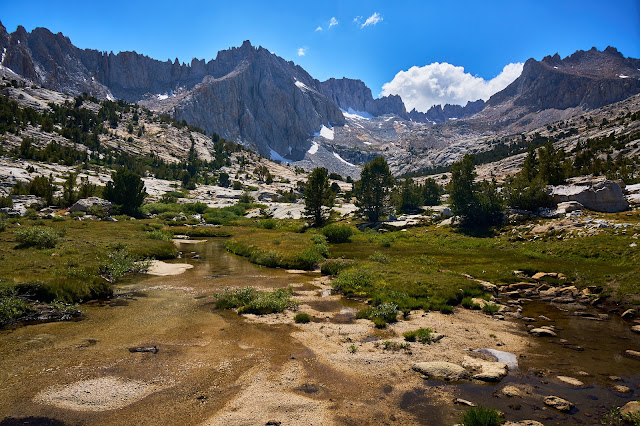
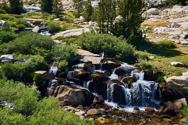
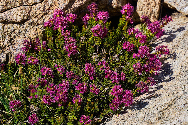
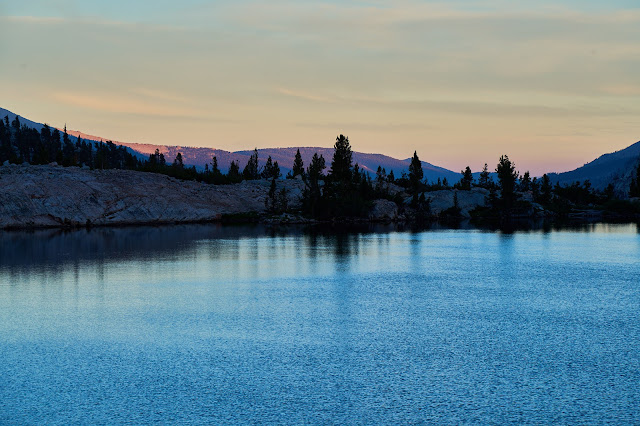
Preview photo
The weather forecast looks amazing for the next week.

Caltopo says about 75 miles and 16000' for the trip
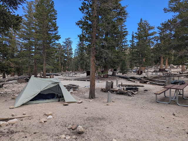
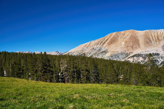
Day 0: Up early to get to the airport, fly to Vegas, get rental and then drive to Lone Pine with a lunch stop in Pahrump. I got Subway in Lone Pine and drove up the road to Horseshoe Meadows. It was early enough that I could have started hiking, but I have found that spending a night at 10,000' means that I don't have any altitude problems. So I planned on hanging out in the trailhead campground and then going to bed early. I was the only one there so I picked a site off to the side and then wandered around a bit. Most of the sites were occupied by dinner time, but everyone was quiet so going to bed early was not a problem.
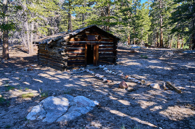
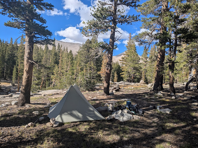
Cottonwood Lakes Backpacker Campground
Day 1 - Cottonwood Pass Trailhead to Lower Soldier Lake (10.5 miles & 1986' up & 1130' down)
Up early and drive over to the Cottonwood Pass Trailhead, might as well save a 1/2 mile of walking while my pack is full. No surprise, 10 days of food is a lot, the theme song running through my head for the first couple days was "Uncle John's Band" by the Grateful Dead
"Well the first days are the hardest days
Don't you worry anymore"
Uncle John's Band (Grateful Dead)
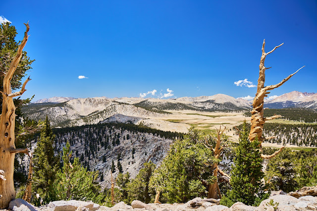
Intersection with the PCT

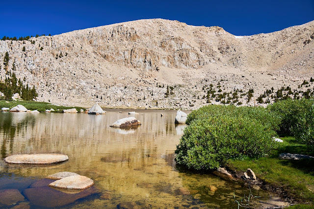
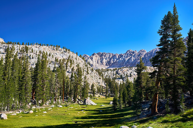
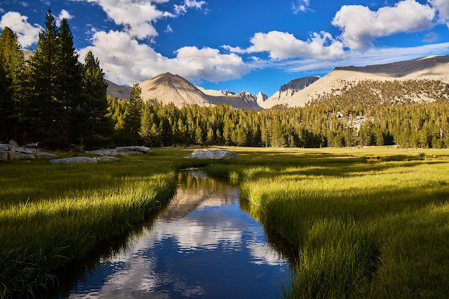
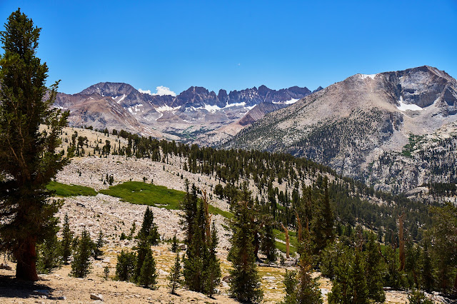
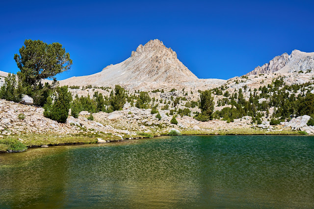
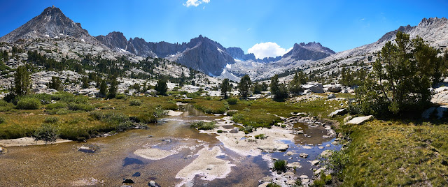
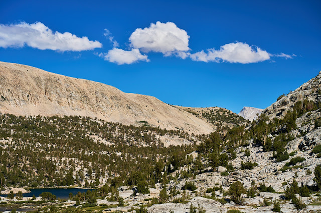
Chicken Spring Lake
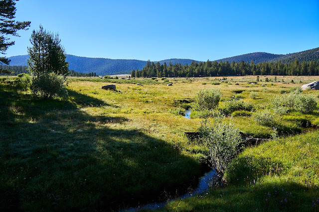
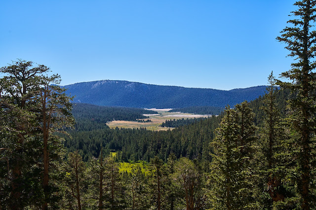
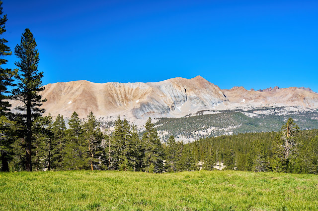
Big Whitney Meadow looks surprisingly green. I need to get down there someday.
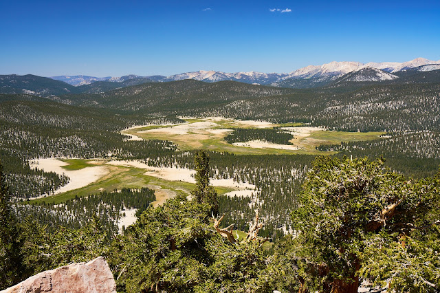

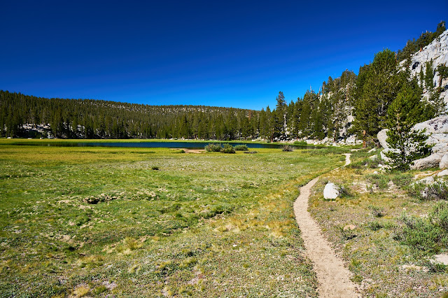
Siberian Outpost
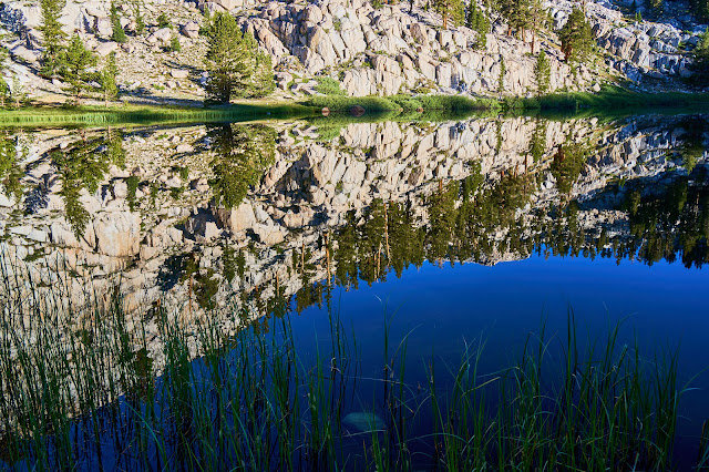
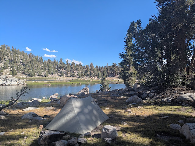
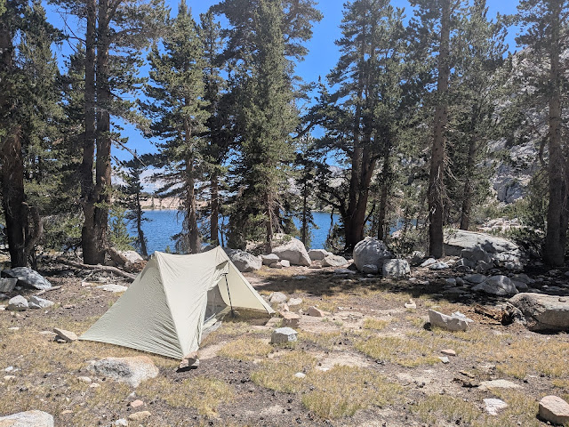
Lower Soldier Lake
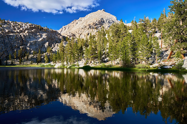
First Campsite (Lower Soldier Lake)

Day 2 - Lower Soldier Lake to Crabtree Meadows (11 miles & 1820' up & 2275' down)
Woke up not feeling great, my belly was off, which made it hard to eat. I ate breakfast, but was feeling crappy most of the day. A little weird since I felt great yesterday.
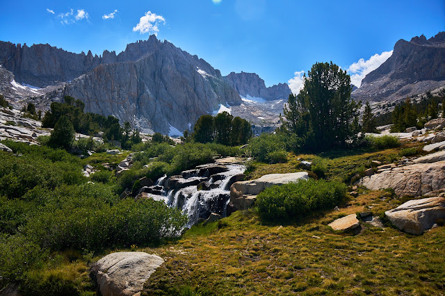
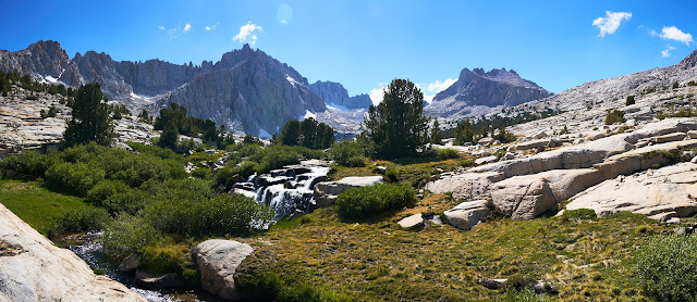
Down Rock Creek
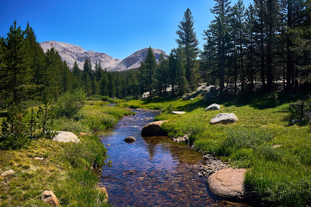
Rock Creek was very pretty and down hill so it was easy hiking to the PCT.

PCT over Guyot Pass was not great. I had forgotten how limited the views are along here. Not bad hiking, but not the High Sierra.
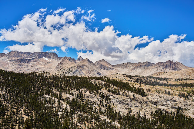
Some views looking west
Crabtree Meadows was very pretty. I set up camp west of the PCT. It was very windy and I had a hard time finding a level campsite. Still not feeling great and just setting up my tent was a problem. I was wishing for a free-standing tent at one point. Finally got set up and wandered around a bit, before dinner and bed.
Second Campsite (Crabtree Meadows)
Day 3 - Crabtree Meadows to a Tarn between JMT and Upper Kern (10.5 miles & 2659' up & 1776' down)
My stomach was still bothering me, this was probably one of the days that I skipped my oatmeal and just had a bar for breakfast. I also wasn't eating much of the snacks for lunch which started to catch up with me by early afternoon. I got to Wright Creek and considered heading up to the lakes which were on my want to see list, but it just seemed hard to go off trail so I kept heading north on the PCT. In retrospect, I probably should have detoured up Wright Creek and made it a shorter day.
I talked to a couple JMTers heading north to Forester, did not see anyone else until one man on Bighorn Plateau on Day 6 (a couple days later).
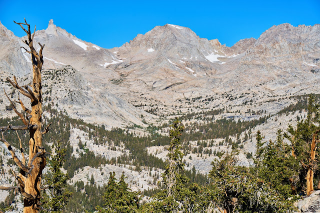
Views getting better to the west. I had recently read a trip report about crossing Red Spur, so I spent a lot of time taking photos and just thinking about getting over it.
Kawaehs poking up behind Red Spur


Kaweahs
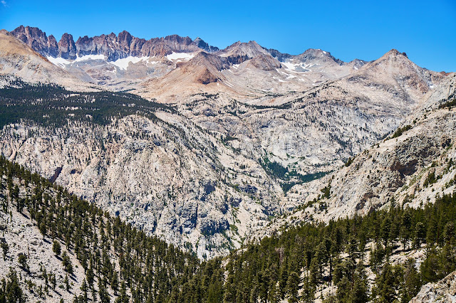
Last photo of Red Spur and the Kaweahs
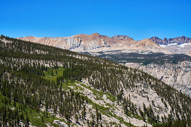
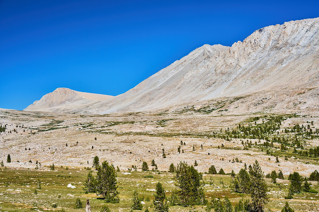
Bighorn Plateau was nice. The last time I came across it was hailing. Today I had time to enjoy the views.
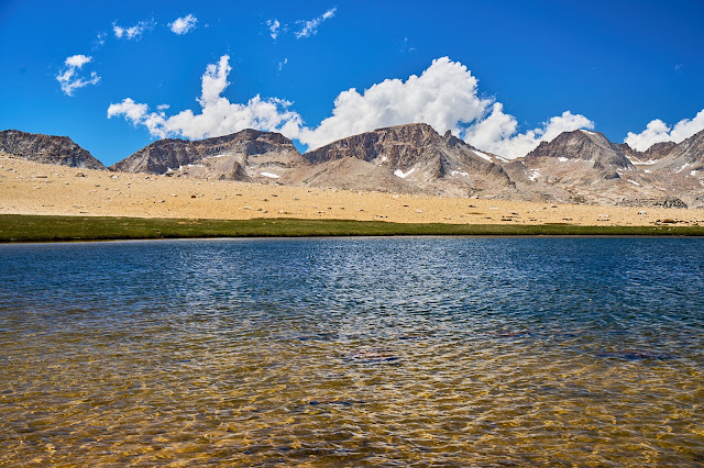
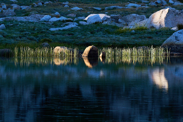
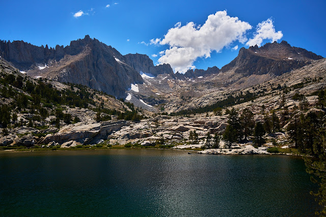
The tarn is shockingly large for its location
Hikers on the JMT

Rockwell Pass from the JMT
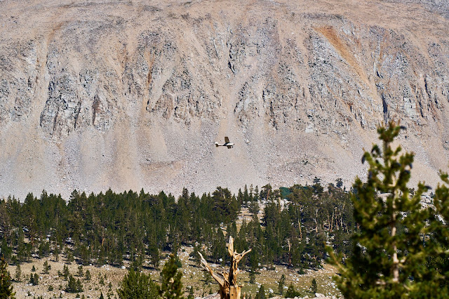
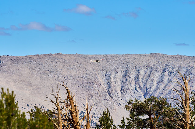
I heard a weird noise and looked up to see this plane. Pretty sure some rules were being broken given how low it was.
I headed towards the Kern with the idea that I would camp in between the JMT and the Kern if I was tired or would maybe make it all the way to the Kern. Lack of food meant that I was moving slowly and it became obvious that I wanted to stop early. I found an awesome site near a lake off the cutoff trail.
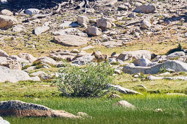
As I was approaching camp I saw this coyote across the lake, only had a chance for a couple meh photos before it disappeared in the rocks. This is a 200mm lens and then heavily cropped.
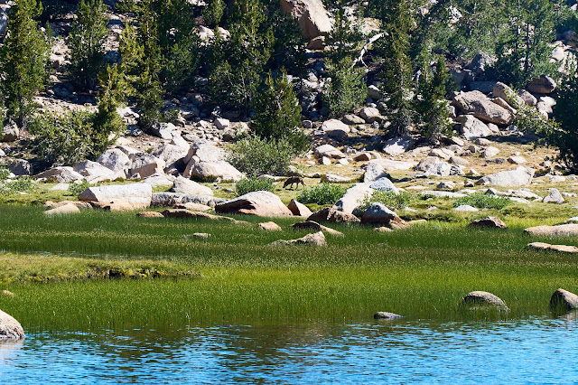
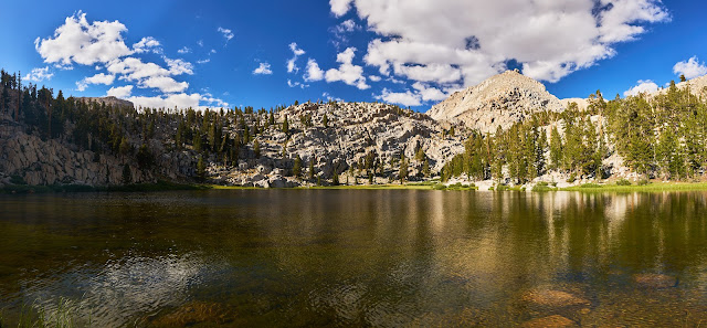
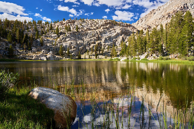
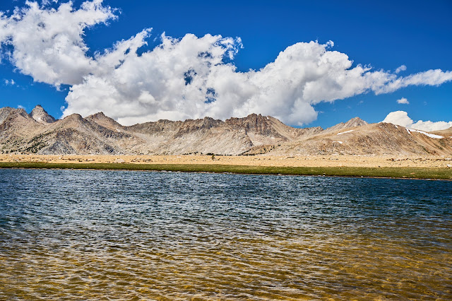
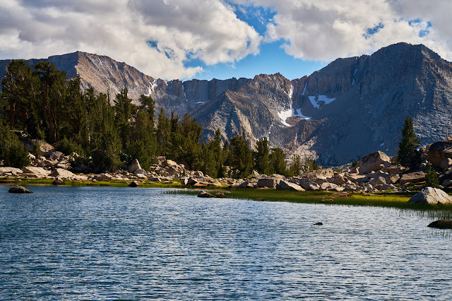
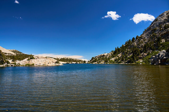
The lake was very pretty with great views of the Great Western Divide in the distance.

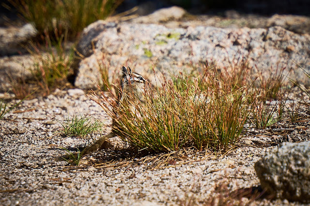
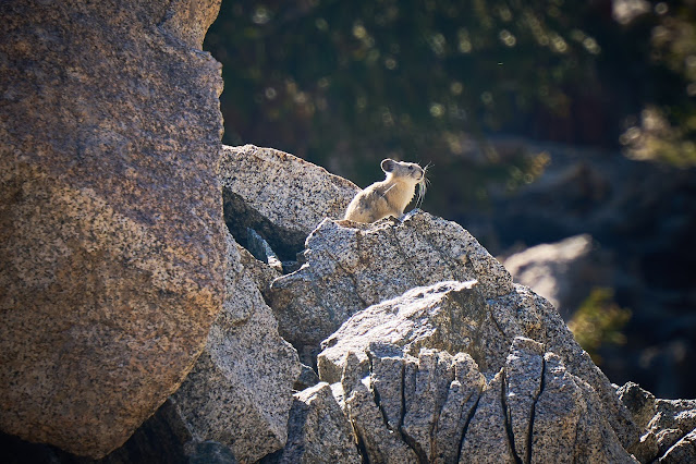
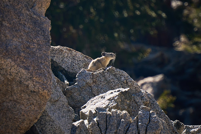
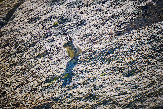
This was the second pika that posed for me this summer. Never managed to get a photo before.


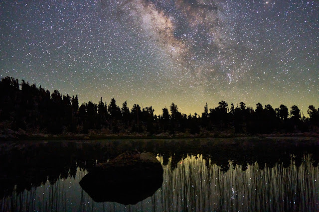
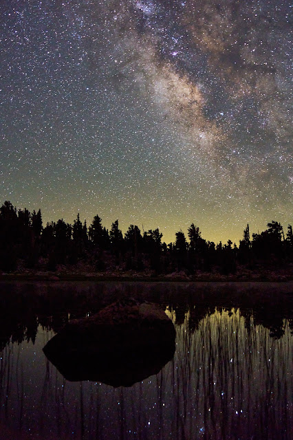
I identified a nice flat rock near my campsite that stuck out in the lake. I was hoping to get some stars and reflections. Somewhat amazed that I managed to both me and my camera dry as I moved around in the dark.
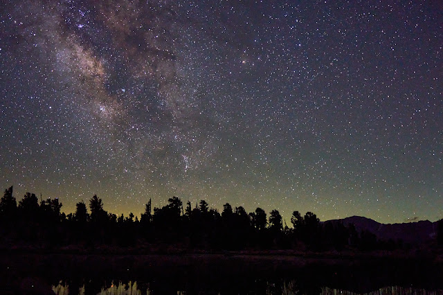
I wish I had a wider lens, but I was glad to not be carrying any extra weight.
Third Campsite (lake between Kern River and JMT)
Day 4 - Lake to Upper Kern (Casper Lake) (4.2 miles & 880' up & 1159' down + some wandering)
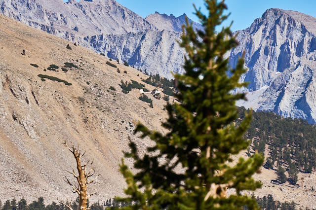
My belly is still not great. And it turns out that Caltopo had not downloaded all the maps, so I was going on memory on getting to Casper Lake. I ended up taking a bad route once I got off the Lake South America trail that led to tedious scrambling and I was happy to finally make it to the lake. I wandered around basin for a couple hours and decided that I had no energy to make to climb to Harrison Pass. Somewhat disappointed because I had wanted to check out the view from the pass, but just lacking energy, the days and not wanting to eat were catching up to me. The bugs at dinner helped me decide to head to Milestone the next morning vs stay another night and explore, not the best/rational decision making. But I was by myself so I could do what ever I wanted.
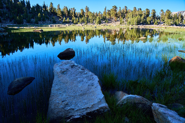
Lake in the morning is still pretty.
I circumnavigated the lake and took my time breaking camp since I wasn't going very far.
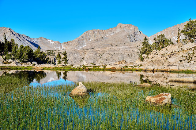
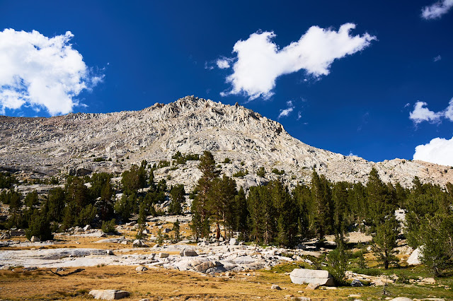
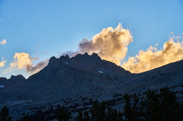
Milestone Peak

Casper Lake from near camp
Wandering around in the basin west of the lake
Looking east with Whitney in the distance
Sunset is coming, to tired to think about stars, besides I had got star photos from this location the last time I was here. So, climb into bed to read and fall asleep.
Fourth Campsite (Casper Lake)
Inyo NF and Sequoia NP
Trailhead: Cottonwood Pass
Camera: Sony A7CR and Tamron 28 - 200 lens
I had big plans to see a part of SEKI that I had not seen before. It was going to involve a lot of elevation gains and a lot of off-trail travel. Then my son and I did a 5 night trip in the Smokies and I realized that I had let my training slip (I had broke my shoulder in March and that slowed me down a lot) and there was no way I'd be able to do what I had planned. So, I pivoted to an area I had seen before with the idea of seeing some past favorites as well as options for some new spots.
Preview photo
The weather forecast looks amazing for the next week.

Caltopo says about 75 miles and 16000' for the trip
Day 0: Up early to get to the airport, fly to Vegas, get rental and then drive to Lone Pine with a lunch stop in Pahrump. I got Subway in Lone Pine and drove up the road to Horseshoe Meadows. It was early enough that I could have started hiking, but I have found that spending a night at 10,000' means that I don't have any altitude problems. So I planned on hanging out in the trailhead campground and then going to bed early. I was the only one there so I picked a site off to the side and then wandered around a bit. Most of the sites were occupied by dinner time, but everyone was quiet so going to bed early was not a problem.
Cottonwood Lakes Backpacker Campground

Day 1 - Cottonwood Pass Trailhead to Lower Soldier Lake (10.5 miles & 1986' up & 1130' down)
Up early and drive over to the Cottonwood Pass Trailhead, might as well save a 1/2 mile of walking while my pack is full. No surprise, 10 days of food is a lot, the theme song running through my head for the first couple days was "Uncle John's Band" by the Grateful Dead
"Well the first days are the hardest days
Don't you worry anymore"
Uncle John's Band (Grateful Dead)


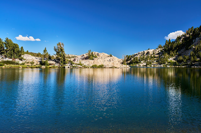
Intersection with the PCT

Chicken Spring Lake

Big Whitney Meadow looks surprisingly green. I need to get down there someday.


Siberian Outpost


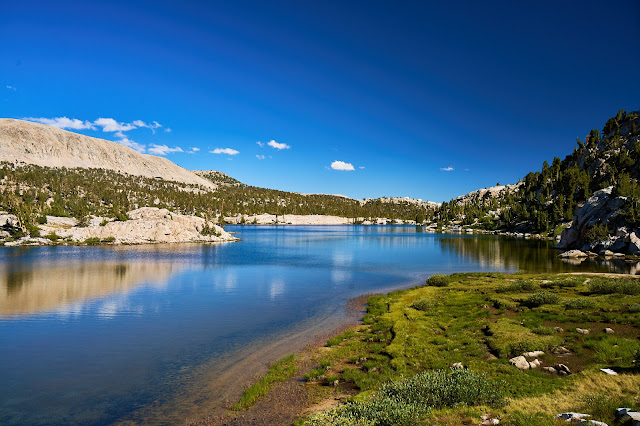
Lower Soldier Lake


First Campsite (Lower Soldier Lake)

Day 2 - Lower Soldier Lake to Crabtree Meadows (11 miles & 1820' up & 2275' down)
Woke up not feeling great, my belly was off, which made it hard to eat. I ate breakfast, but was feeling crappy most of the day. A little weird since I felt great yesterday.


Down Rock Creek


Rock Creek was very pretty and down hill so it was easy hiking to the PCT.


PCT over Guyot Pass was not great. I had forgotten how limited the views are along here. Not bad hiking, but not the High Sierra.

Some views looking west

Crabtree Meadows was very pretty. I set up camp west of the PCT. It was very windy and I had a hard time finding a level campsite. Still not feeling great and just setting up my tent was a problem. I was wishing for a free-standing tent at one point. Finally got set up and wandered around a bit, before dinner and bed.

Second Campsite (Crabtree Meadows)

Day 3 - Crabtree Meadows to a Tarn between JMT and Upper Kern (10.5 miles & 2659' up & 1776' down)
My stomach was still bothering me, this was probably one of the days that I skipped my oatmeal and just had a bar for breakfast. I also wasn't eating much of the snacks for lunch which started to catch up with me by early afternoon. I got to Wright Creek and considered heading up to the lakes which were on my want to see list, but it just seemed hard to go off trail so I kept heading north on the PCT. In retrospect, I probably should have detoured up Wright Creek and made it a shorter day.
I talked to a couple JMTers heading north to Forester, did not see anyone else until one man on Bighorn Plateau on Day 6 (a couple days later).
Views getting better to the west. I had recently read a trip report about crossing Red Spur, so I spent a lot of time taking photos and just thinking about getting over it.

Kawaehs poking up behind Red Spur


Kaweahs


Last photo of Red Spur and the Kaweahs

Bighorn Plateau was nice. The last time I came across it was hailing. Today I had time to enjoy the views.

The tarn is shockingly large for its location

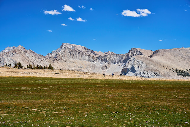
Hikers on the JMT


Rockwell Pass from the JMT

I heard a weird noise and looked up to see this plane. Pretty sure some rules were being broken given how low it was.


I headed towards the Kern with the idea that I would camp in between the JMT and the Kern if I was tired or would maybe make it all the way to the Kern. Lack of food meant that I was moving slowly and it became obvious that I wanted to stop early. I found an awesome site near a lake off the cutoff trail.
As I was approaching camp I saw this coyote across the lake, only had a chance for a couple meh photos before it disappeared in the rocks. This is a 200mm lens and then heavily cropped.


The lake was very pretty with great views of the Great Western Divide in the distance.


This was the second pika that posed for me this summer. Never managed to get a photo before.


I identified a nice flat rock near my campsite that stuck out in the lake. I was hoping to get some stars and reflections. Somewhat amazed that I managed to both me and my camera dry as I moved around in the dark.

I wish I had a wider lens, but I was glad to not be carrying any extra weight.


Third Campsite (lake between Kern River and JMT)

Day 4 - Lake to Upper Kern (Casper Lake) (4.2 miles & 880' up & 1159' down + some wandering)
My belly is still not great. And it turns out that Caltopo had not downloaded all the maps, so I was going on memory on getting to Casper Lake. I ended up taking a bad route once I got off the Lake South America trail that led to tedious scrambling and I was happy to finally make it to the lake. I wandered around basin for a couple hours and decided that I had no energy to make to climb to Harrison Pass. Somewhat disappointed because I had wanted to check out the view from the pass, but just lacking energy, the days and not wanting to eat were catching up to me. The bugs at dinner helped me decide to head to Milestone the next morning vs stay another night and explore, not the best/rational decision making. But I was by myself so I could do what ever I wanted.
Lake in the morning is still pretty.

I circumnavigated the lake and took my time breaking camp since I wasn't going very far.


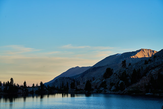
Milestone Peak


Casper Lake from near camp


Wandering around in the basin west of the lake


Looking east with Whitney in the distance


Sunset is coming, to tired to think about stars, besides I had got star photos from this location the last time I was here. So, climb into bed to read and fall asleep.


Fourth Campsite (Casper Lake)

")