Udink
Still right here.
- Joined
- Jan 17, 2012
- Messages
- 1,748
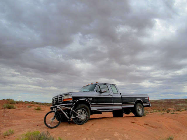
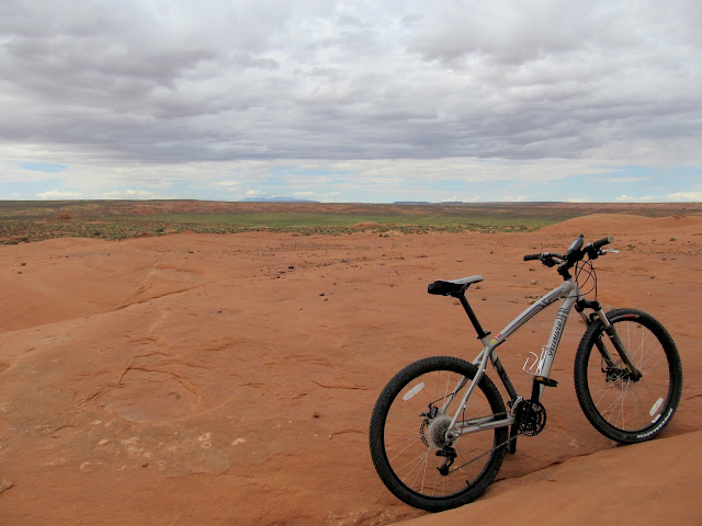
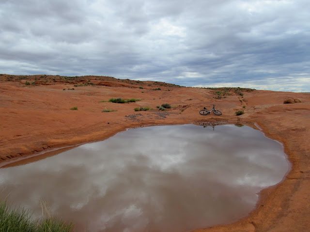
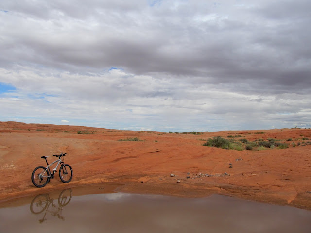
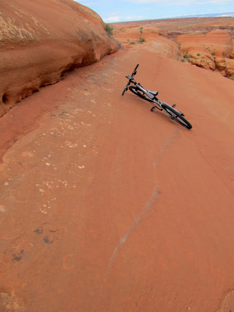
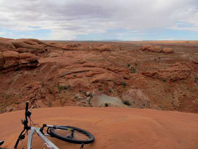
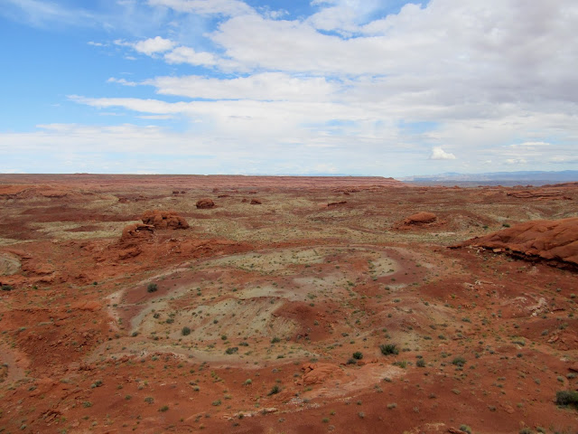
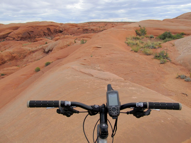
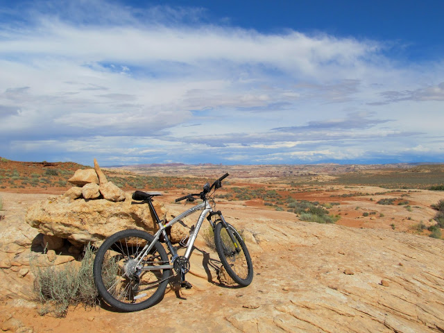
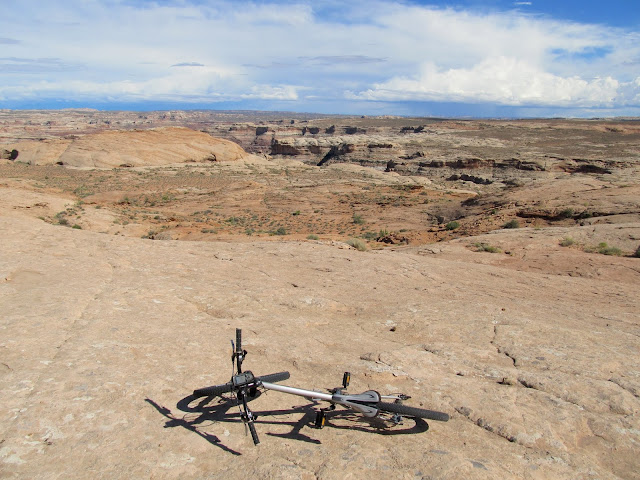
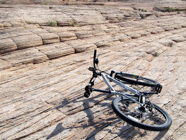
Last weekend I took to the San Rafael Desert and did some mountain biking. I'd recently watched this video of biking at Saucer Basin and seen some photos of people riding near Bull Hollow, and I set out to ride in both areas myself. Saucer Basin was a lot of fun. I parked on the side of a nice graded dirt road and started riding the slickrock right from the truck. It had rained a lot in recent days and I found several pools full of water. The riding was smooth and flowing, and routefinding around bowls of sand and cracks in the sandstone was fairly easy. I rode to the west along a fin of sandstone to a point overlooking the upper drainage of Moonshine Wash just above where it becomes a slot canyon. I returned east then rode north to a local high point in the slickrock. The terrain became jointed and eventually I had to ditch the bike and hike for a while to reach the high point. On my way back toward the truck I wandered around a bit and explored the slickrock more by bike. I returned to the truck after almost three hours of riding and ate lunch, then moved along toward Bull Hollow.
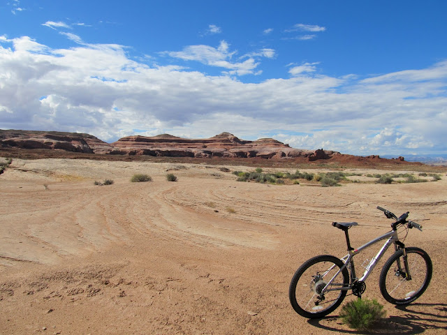
Parked on the slickrock near Saucer Basin
Slickrock with Saucer Basin looking unusually green in the distance
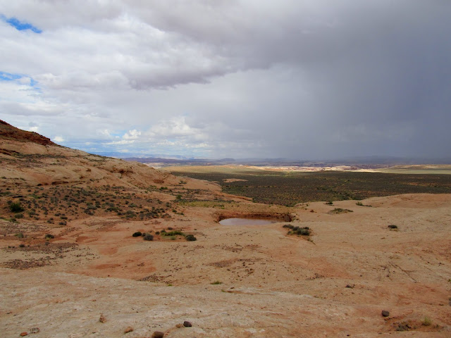
One of several pools in the slickrock
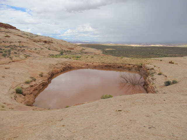
Another large pool
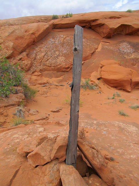
Old cairn and post
This was steeper than it looks--I tried to stop and kept skidding downhill
End of a sandstone fin
View over Moonshine Wash toward Gruver's Mesa
Saucer Basin slickrock
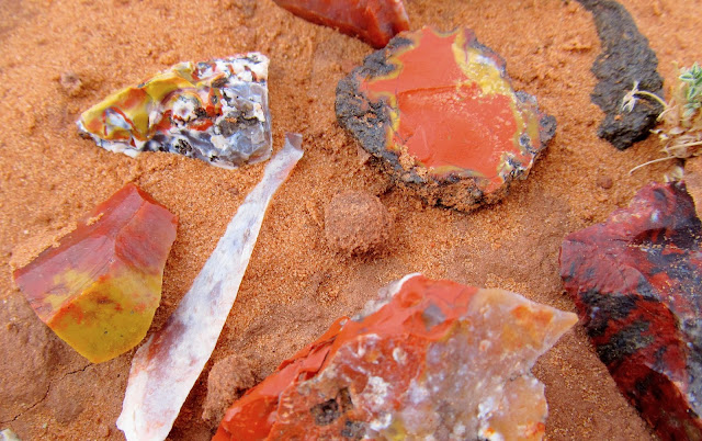
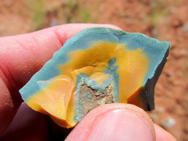
Colorful chert that was everywhere
Near the high point of the slickrock
View north from the high point
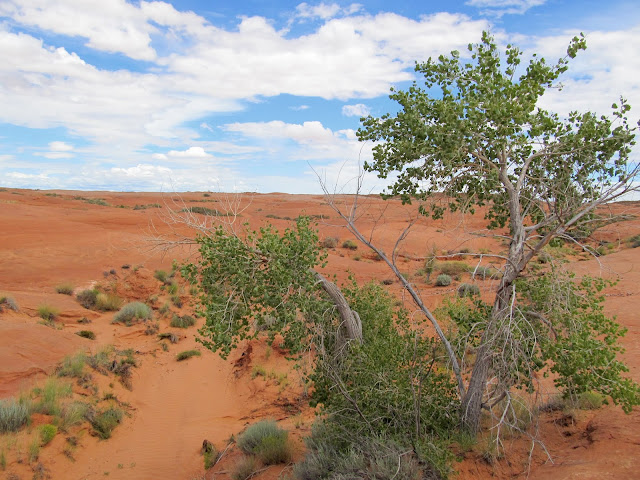
Possibly the only tree for miles around
Drainage leading into Saucer Basin

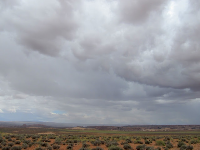
On the way to Bull Hollow I detoured to check out what looked like a dam in Google Earth. Before I started hiking I waited out a storm that was on the far side of Keg Spring Canyon and looked like it was moving in my direction, but after about 30 minutes it was clear that the storm would miss me. It was a short hike and I actually found two dams there. The first I encountered was an earthen dam with a basin that had been blasted out of the sandstone. The second (which I'd seen in Google Earth) looked like concrete, but after a closer look I realized it was some sort of concrete/styrofoam mix.
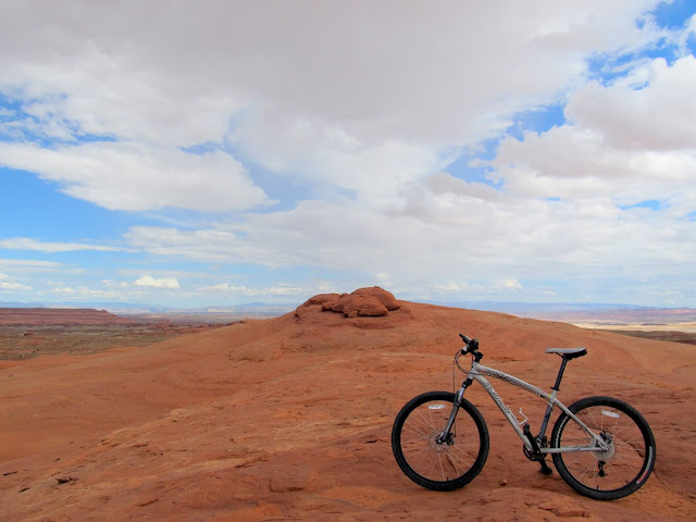
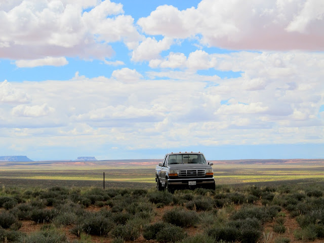
Parked on a knoll south of Bull Hollow
Storm to the east
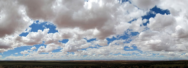
Fluffy clouds to the west
Hiking out to two strange dams
Reservoir that was blasted out of the sandstone, with an earthen dam
Another reservoir with a styrofoam and concrete dam
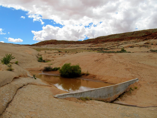
Styrofoam and concrete dam
Blast marks
Interesting green and yellow chert
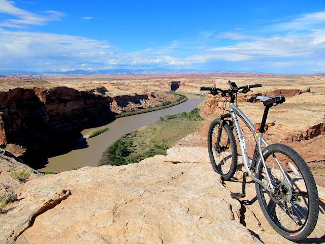
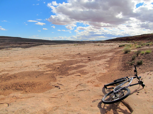
With my curiosity satisfied, I headed back to the truck and moved along to the Bull Hollow area. That turned out not to be as fun as riding Saucer Basin. The sandstone was rougher and there were more joints and sandy areas within the sandstone that made riding and routefinding difficult. I ended up following an old road for much of the distance as I made my way to an overlook of the Green River in Labyrinth Canyon. Despite the riding not being as fun, the views more than made up for it. I spent about two and a half hours riding to and from the rim of Labyrinth Canyon.
Riding the slickrock around the head of Bull Hollow
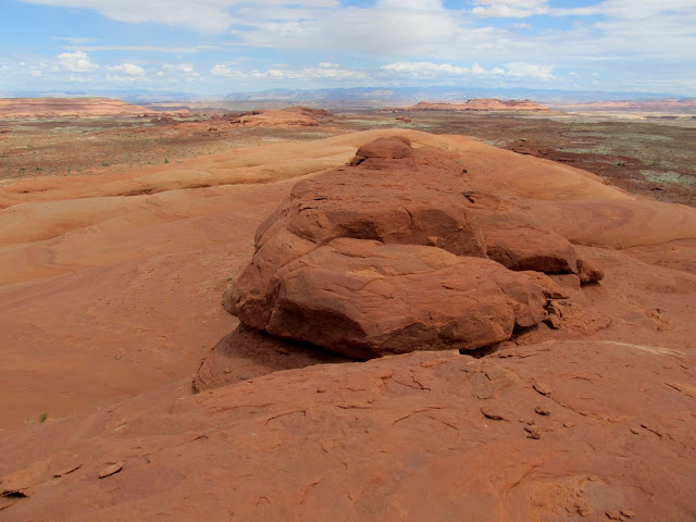
View into Bull Hollow
Across the slickrock, nearing Labyrinth Canyon
Rim of Labyrinth Canyon
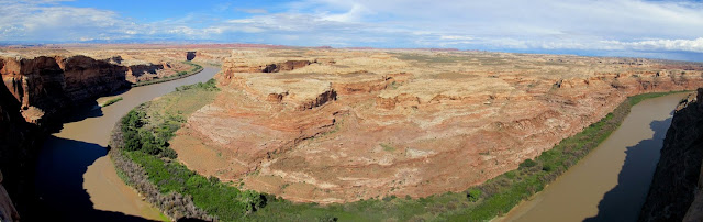
Green River panorama
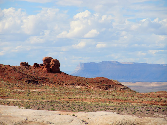
Nearby Entrada Sandstone formations with the Book Cliffs and Mt. Elliott in the distance
Navajo layers
Riding along an old road
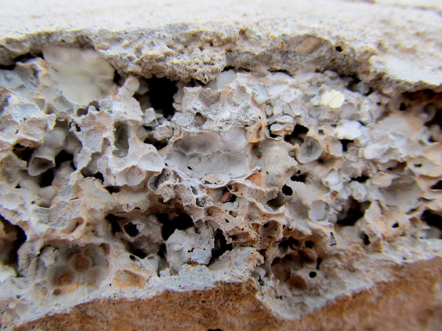
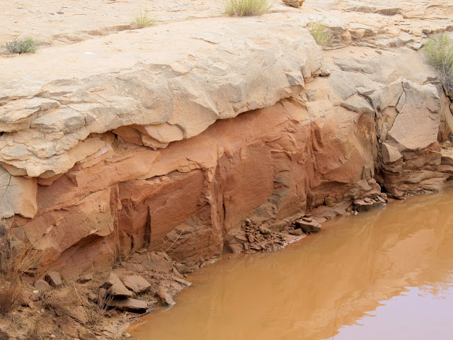
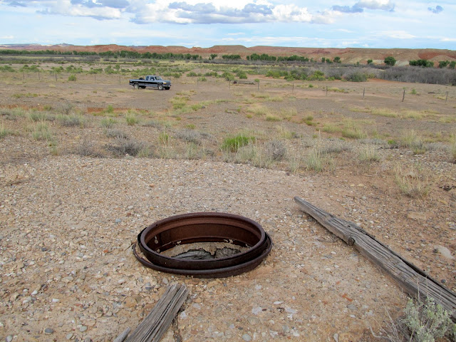
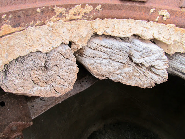
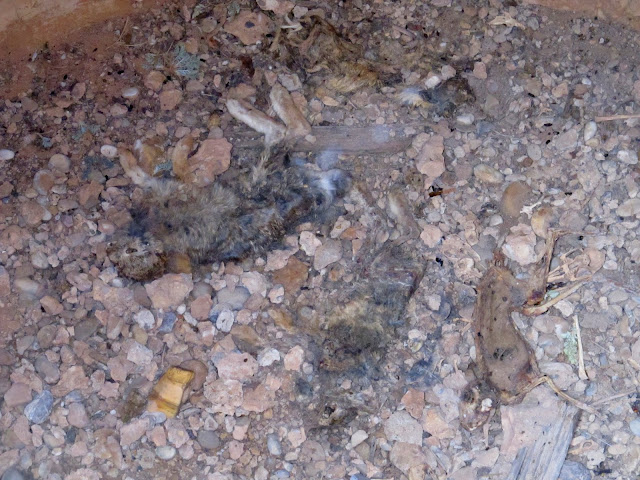
While driving home I stopped at Chaffin Ranch and checked out a cistern that I'd never noticed on my several previous trips there. It was fully lined in concrete and had a ceiling made of steel and wood beams topped with concrete. Inside were quite a few dead rabbits that I can only imagine ended up there accidentally. The geyser at the ranch wasn't erupting, though I took some photos of the interesting textures and colors in the minerals there.
Cistern at Chaffin Ranch
Roof detail
Dead rabbits in the cistern
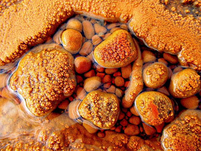
Chaffin Geyser mineral textures
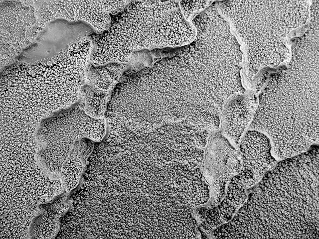
Chaffin Geyser mineral textures
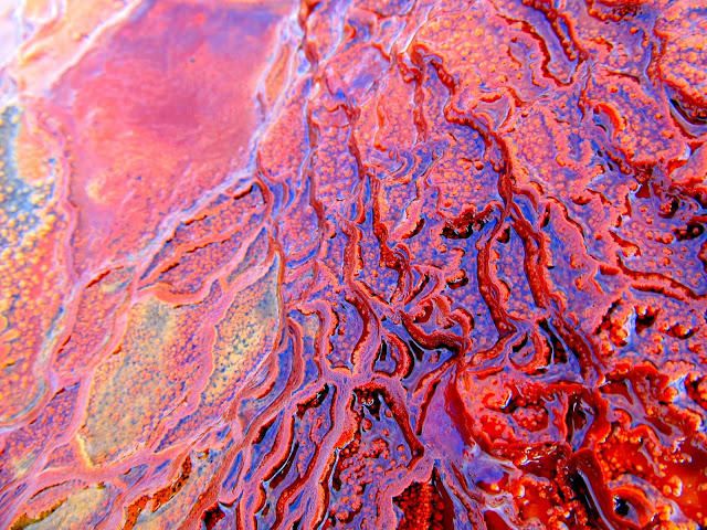
Chaffin Geyser mineral textures
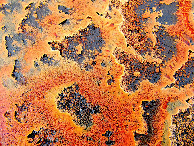
Chaffin Geyser mineral textures
Chaffin Geyser mineral textures
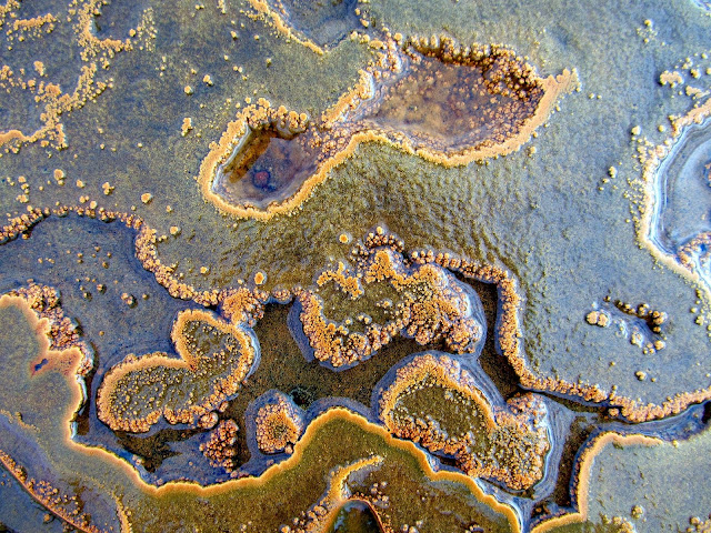
Photo Gallery: Saucer Basin and Bull Hollow via Mountain Bike
GPS Tracklog and Photo Waypoints:
[Google Earth .KMZ] [Google Maps] [Gmap4 Topo]
Featured image for home page:

Parked on the slickrock near Saucer Basin
Slickrock with Saucer Basin looking unusually green in the distance
One of several pools in the slickrock
Another large pool
Old cairn and post
This was steeper than it looks--I tried to stop and kept skidding downhill
End of a sandstone fin
View over Moonshine Wash toward Gruver's Mesa
Saucer Basin slickrock
Colorful chert that was everywhere
Near the high point of the slickrock
View north from the high point
Possibly the only tree for miles around
Drainage leading into Saucer Basin
On the way to Bull Hollow I detoured to check out what looked like a dam in Google Earth. Before I started hiking I waited out a storm that was on the far side of Keg Spring Canyon and looked like it was moving in my direction, but after about 30 minutes it was clear that the storm would miss me. It was a short hike and I actually found two dams there. The first I encountered was an earthen dam with a basin that had been blasted out of the sandstone. The second (which I'd seen in Google Earth) looked like concrete, but after a closer look I realized it was some sort of concrete/styrofoam mix.
Parked on a knoll south of Bull Hollow
Storm to the east
Fluffy clouds to the west
Hiking out to two strange dams
Reservoir that was blasted out of the sandstone, with an earthen dam
Another reservoir with a styrofoam and concrete dam
Styrofoam and concrete dam
Blast marks
Interesting green and yellow chert
With my curiosity satisfied, I headed back to the truck and moved along to the Bull Hollow area. That turned out not to be as fun as riding Saucer Basin. The sandstone was rougher and there were more joints and sandy areas within the sandstone that made riding and routefinding difficult. I ended up following an old road for much of the distance as I made my way to an overlook of the Green River in Labyrinth Canyon. Despite the riding not being as fun, the views more than made up for it. I spent about two and a half hours riding to and from the rim of Labyrinth Canyon.
Riding the slickrock around the head of Bull Hollow
View into Bull Hollow
Across the slickrock, nearing Labyrinth Canyon
Rim of Labyrinth Canyon
Green River panorama
Nearby Entrada Sandstone formations with the Book Cliffs and Mt. Elliott in the distance
Navajo layers
Riding along an old road
While driving home I stopped at Chaffin Ranch and checked out a cistern that I'd never noticed on my several previous trips there. It was fully lined in concrete and had a ceiling made of steel and wood beams topped with concrete. Inside were quite a few dead rabbits that I can only imagine ended up there accidentally. The geyser at the ranch wasn't erupting, though I took some photos of the interesting textures and colors in the minerals there.
Cistern at Chaffin Ranch
Roof detail
Dead rabbits in the cistern
Chaffin Geyser mineral textures
Chaffin Geyser mineral textures
Chaffin Geyser mineral textures
Chaffin Geyser mineral textures
Chaffin Geyser mineral textures
Photo Gallery: Saucer Basin and Bull Hollow via Mountain Bike
GPS Tracklog and Photo Waypoints:
[Google Earth .KMZ] [Google Maps] [Gmap4 Topo]
Featured image for home page: