- Joined
- May 31, 2015
- Messages
- 3,304
March 12-14, 2017
Now that I'm done with school for the summer, I have a bit more time to write up trip reports.
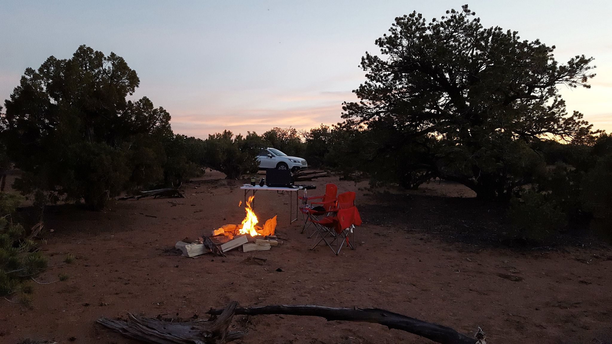
We had Spring Break, so I drove down to the Wedge Sunday night with a friend from school. We car camped that night. It was so quiet out there. Other than a quietly hooting owl, I heard nothing else all night.
In the morning, we headed down Buckhorn Wash to the river. My friend hadn't been down this way before, so we stopped at the Buckhorn Wash Panel on the way down.
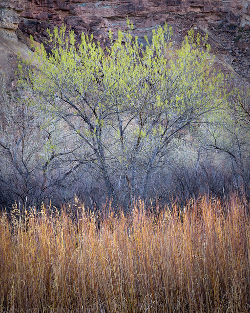
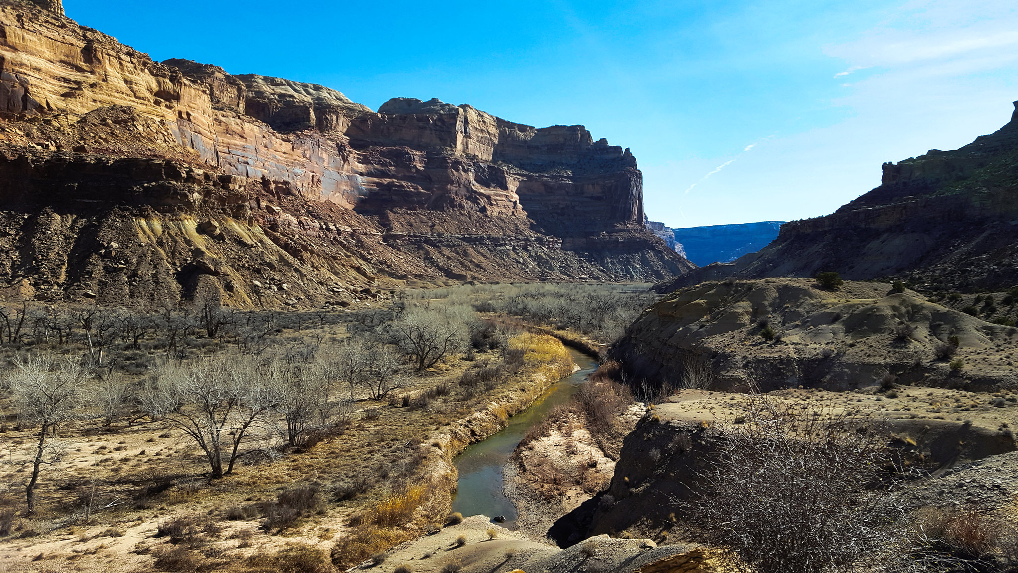
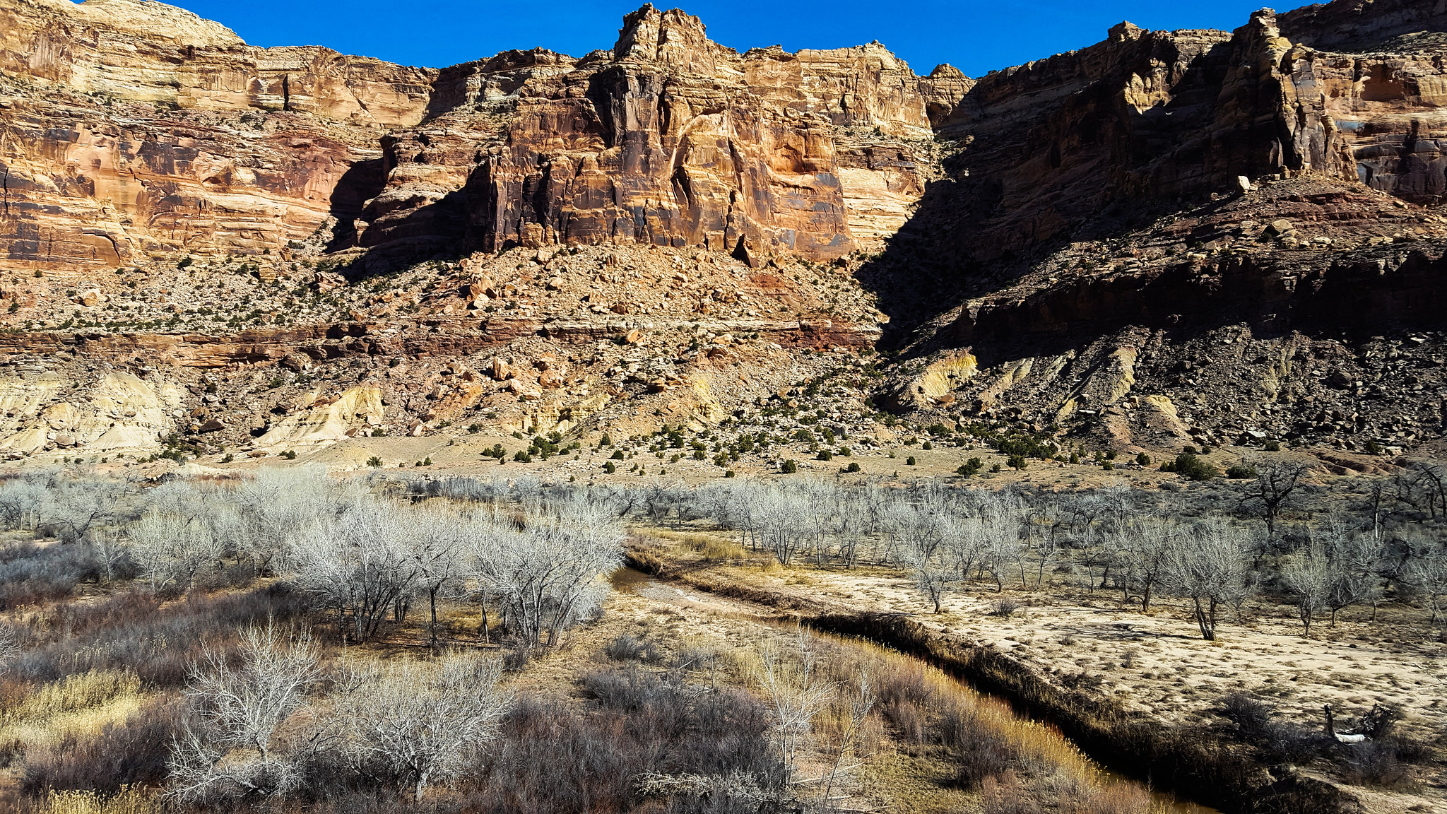
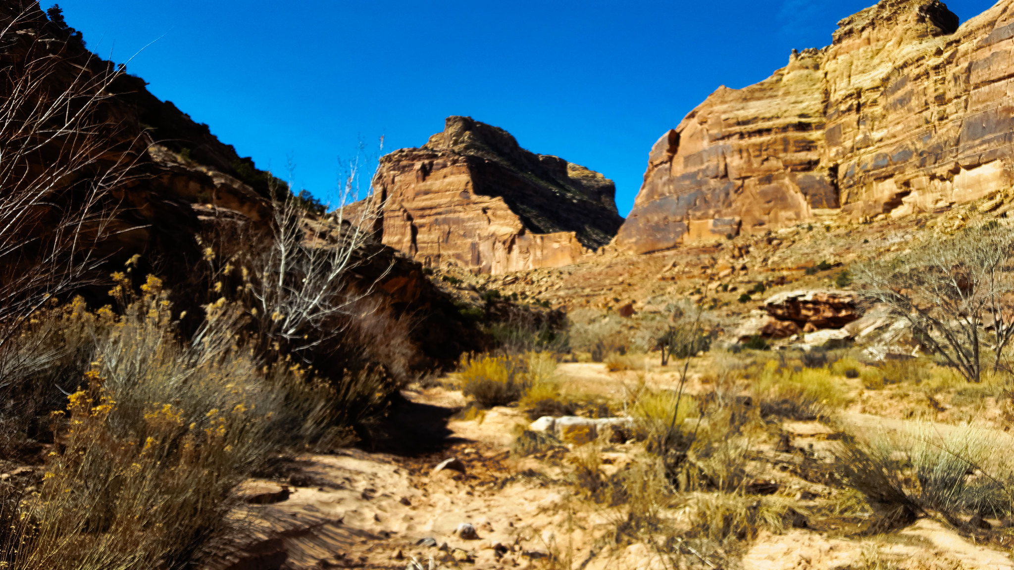
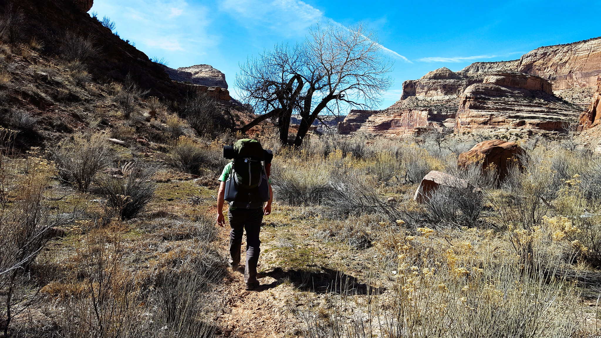
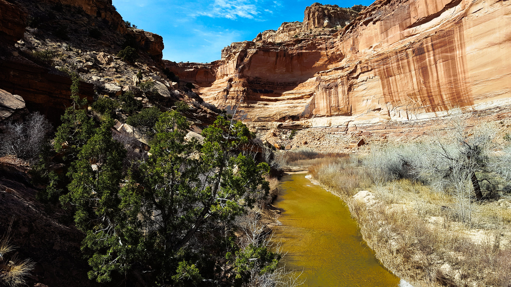
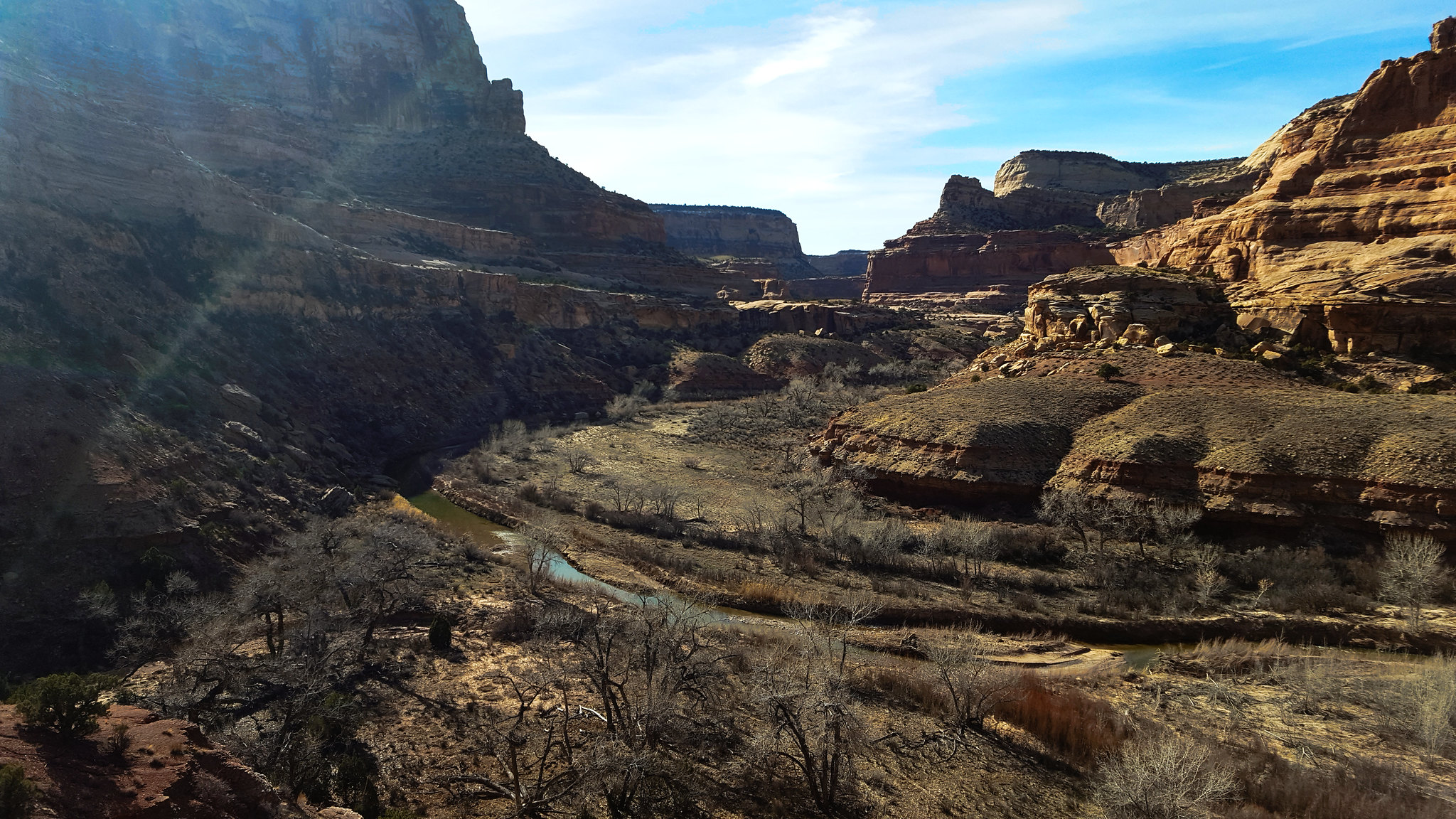
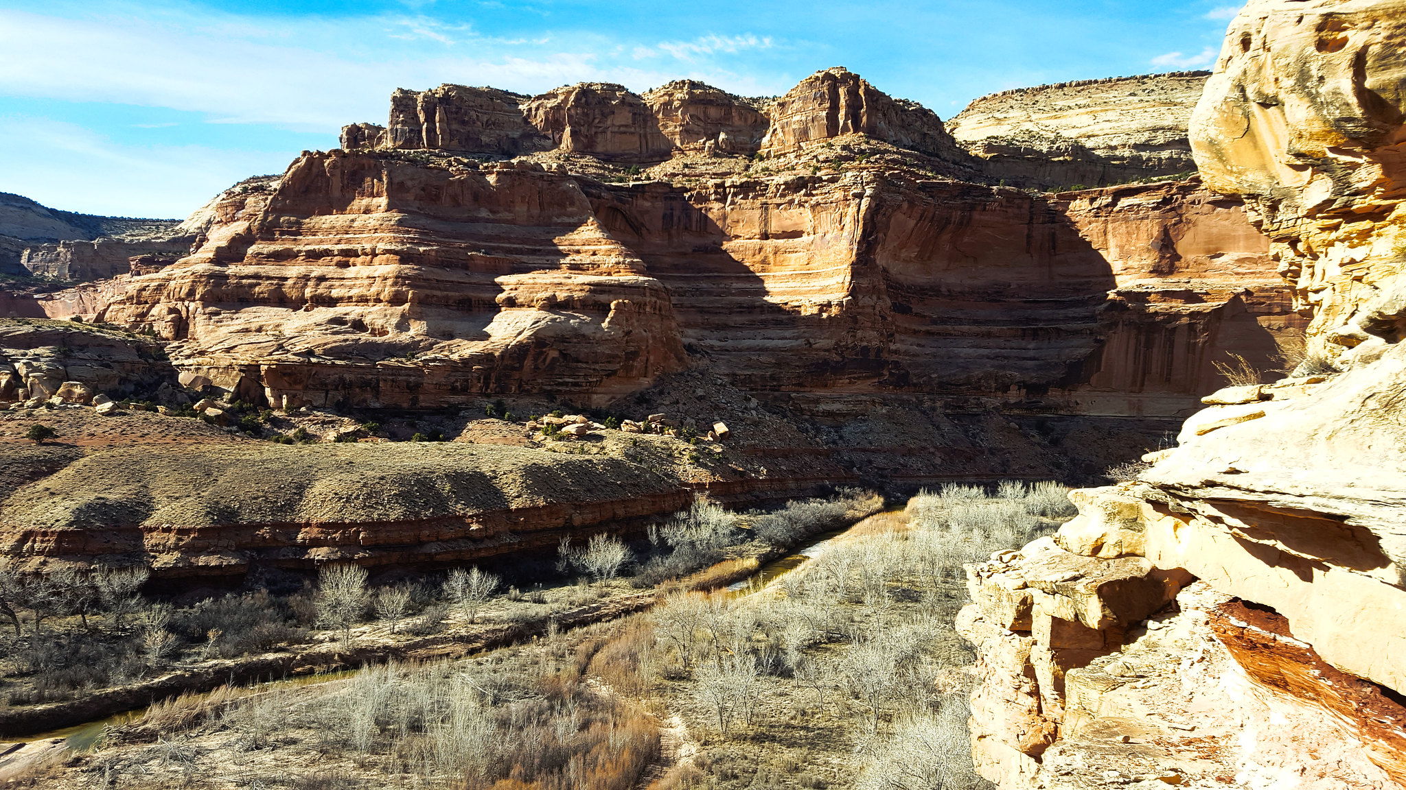
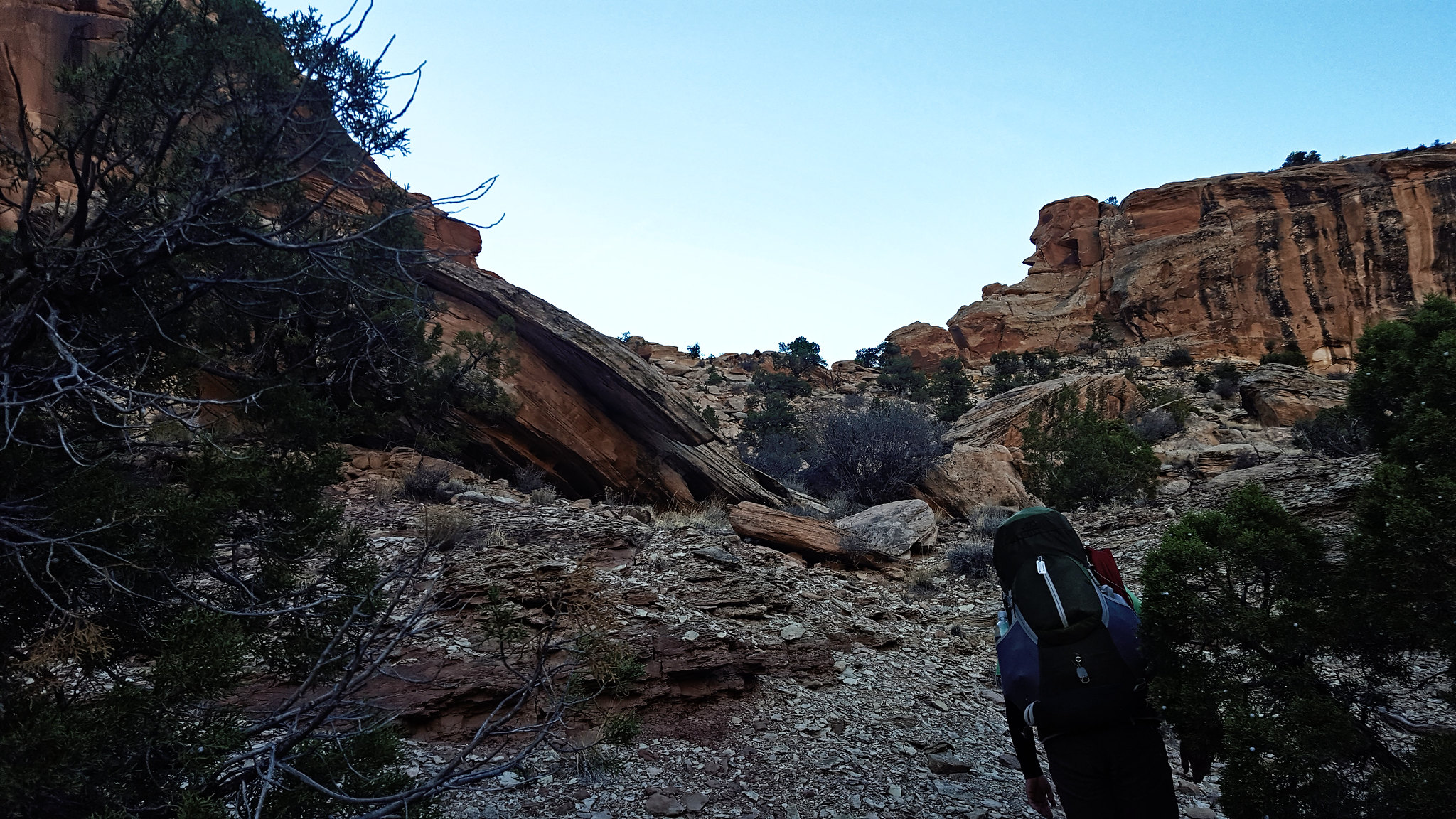
We reached the trailhead and we set out. We passed a small family in the first quarter mile, and we only saw one other person the rest of the time. The hike was pleasant. Temperatures were warmer than they had been, and the river was pretty. It was unfortunate that no leaves had really started to grow. All the plants nearby looked pretty dead, as you will see.

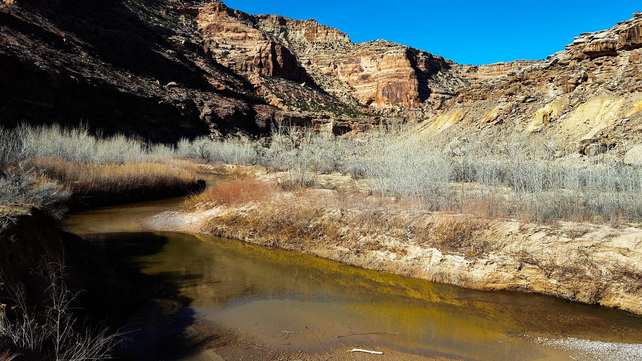
The water was running nice and clear. I was happy to see that, in case we had to drink river water along the way.
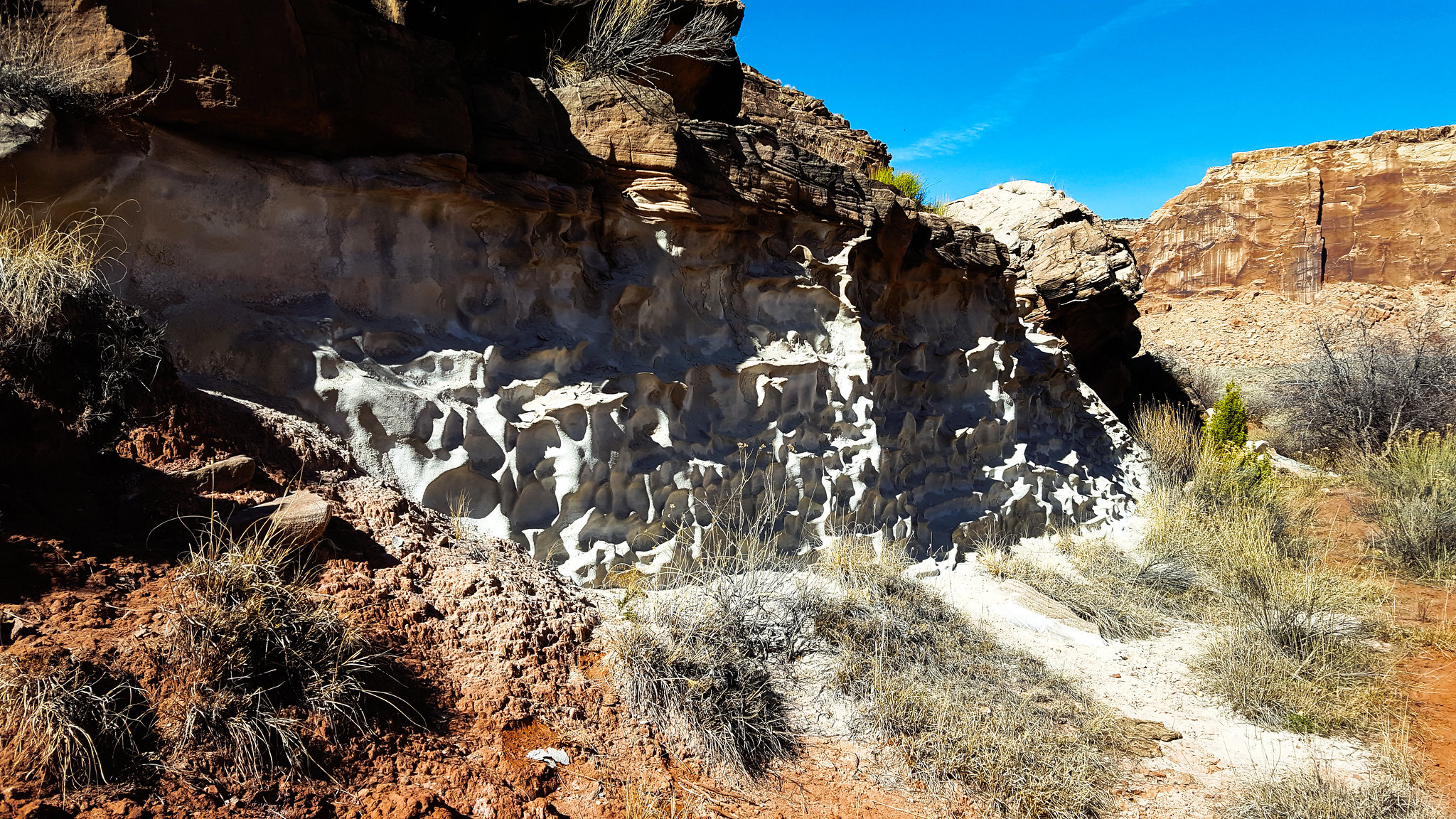
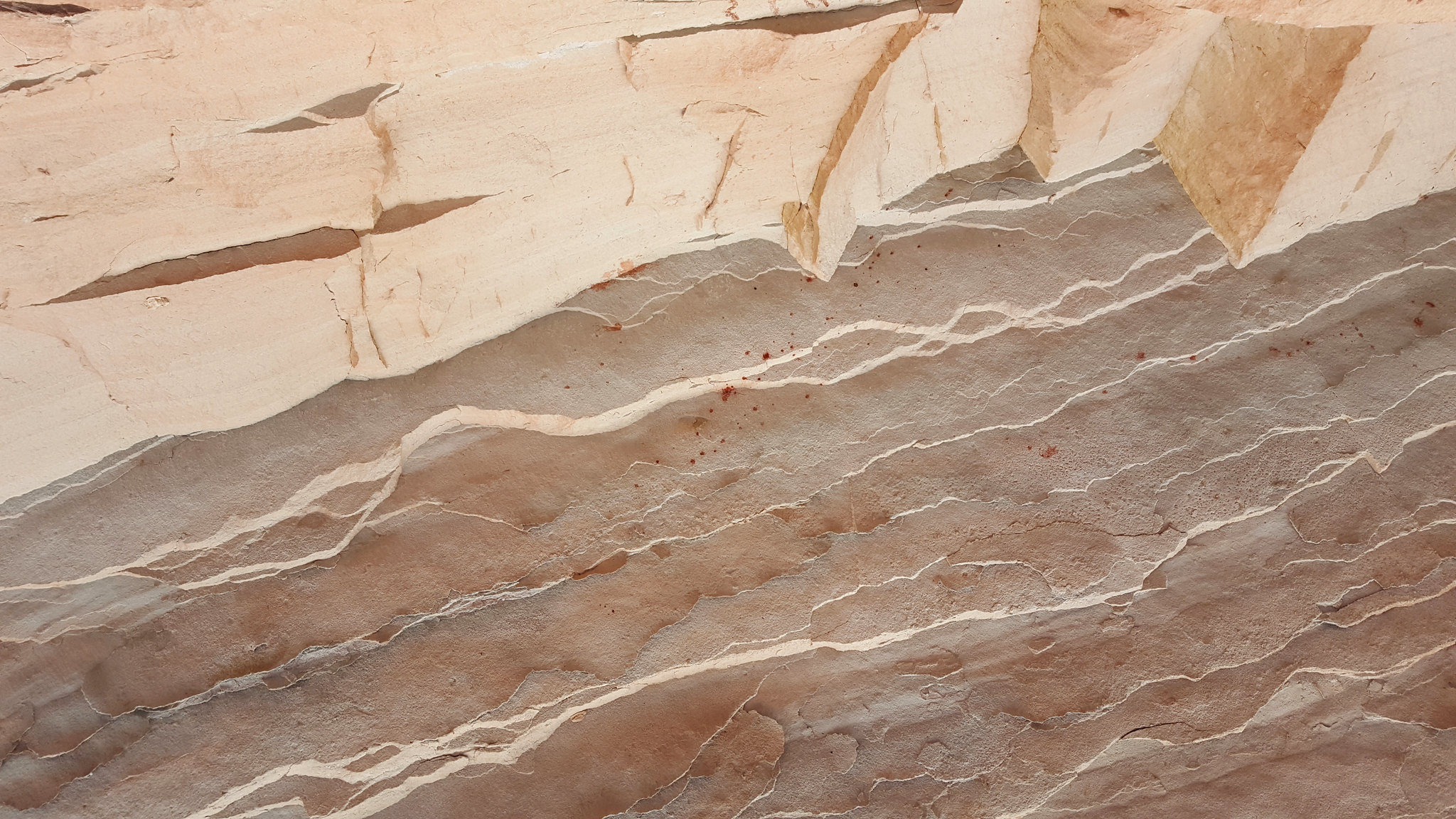
In a few places, we found this chalky stone that erodes very interestingly. My pack still has a white spot on it from where I brushed up against this stuff.
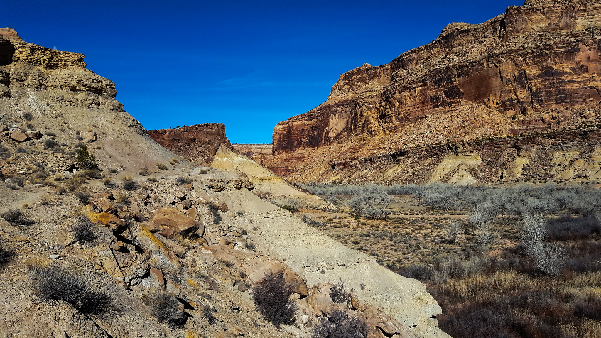
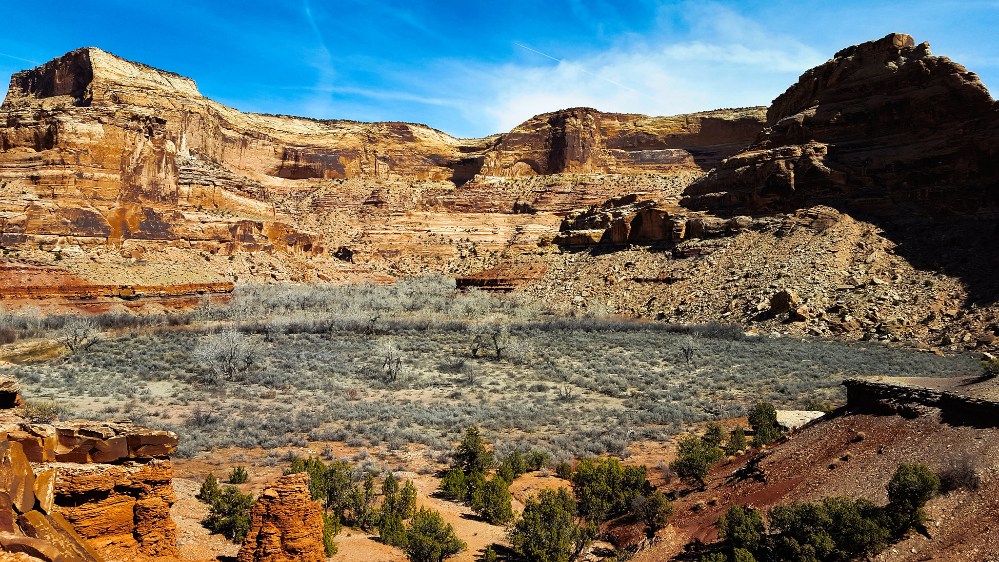
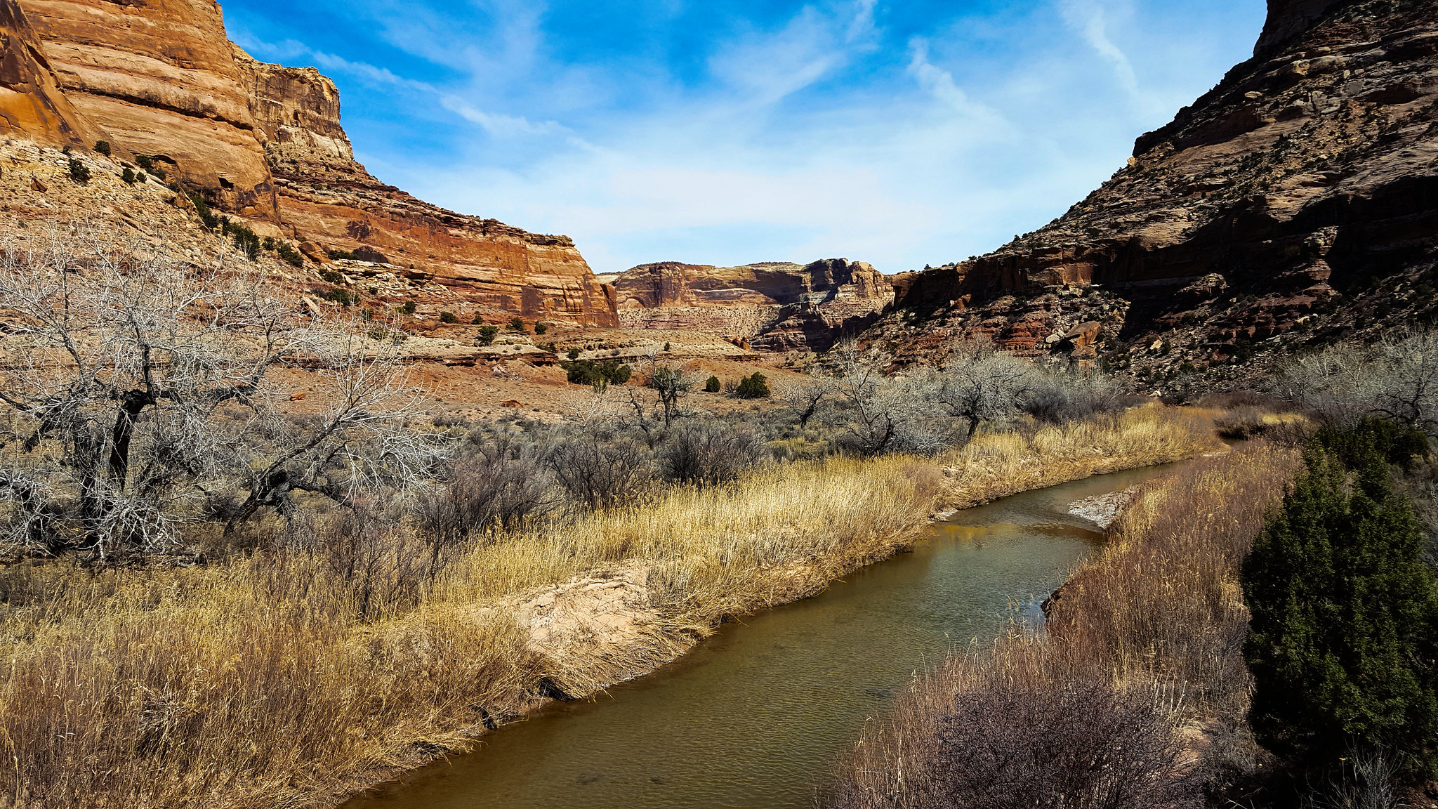
We got to Cane Wash after a bit. Aptly named, because there is a huge amount of canelike grass growing where it empties into the San Rafael.
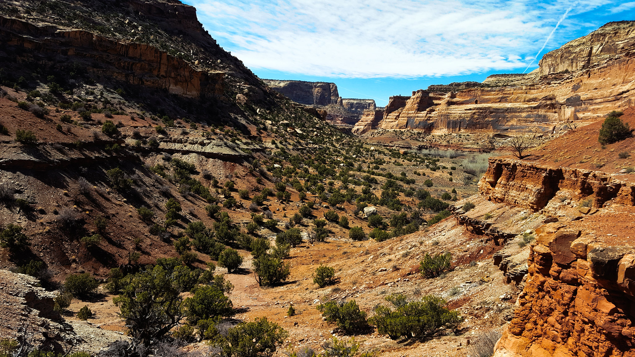
The dip in the rock wall is a good cutoff you can take instead of following the river. I wish I had taken more than one picture of it because this one came out blurry. We skipped the cutoff on the way out, but we took it on the way back the next morning.
We stopped for lunch, and we checked out the pictographs nearby.
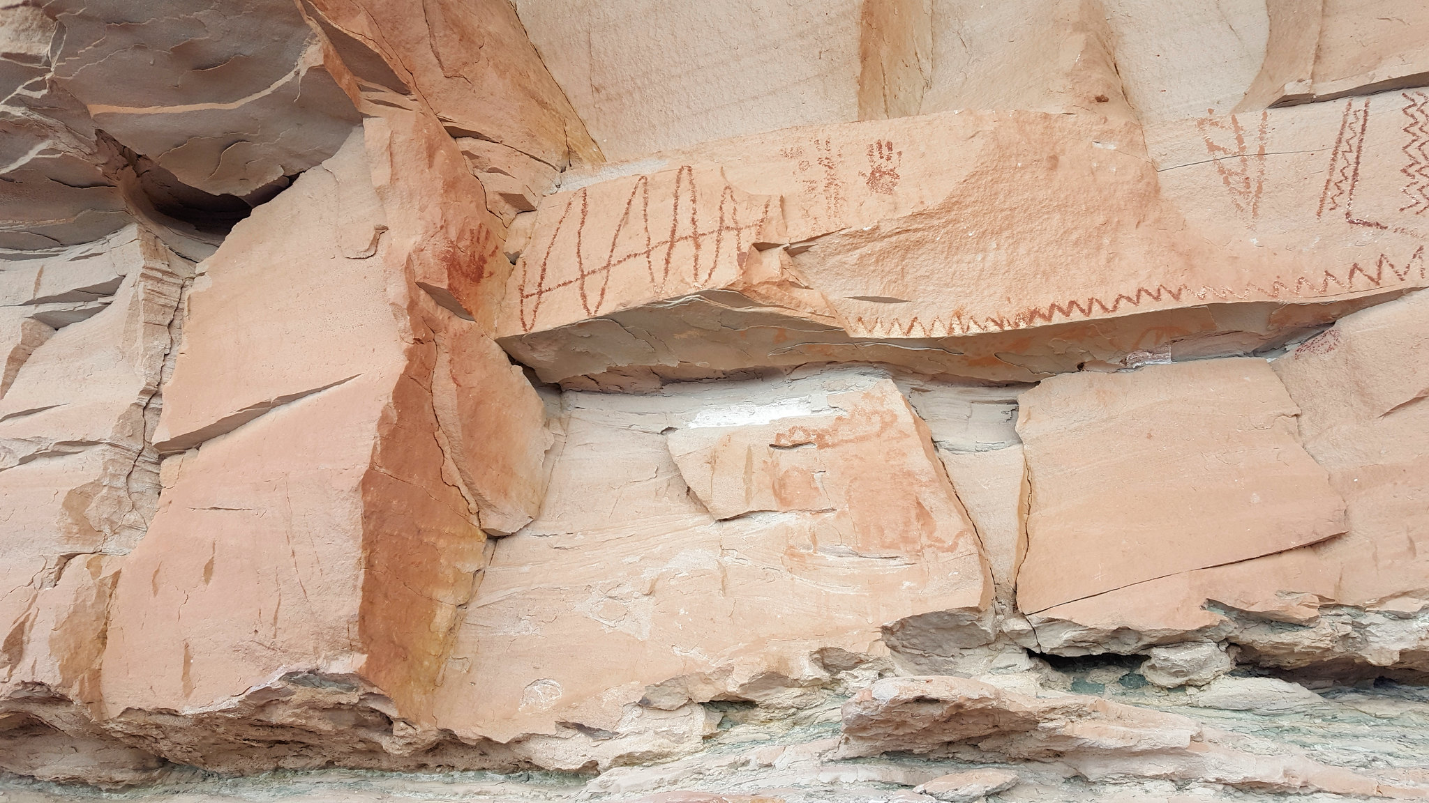
There appeared to be pigment splattered on the underside of the rock with the pictographs.
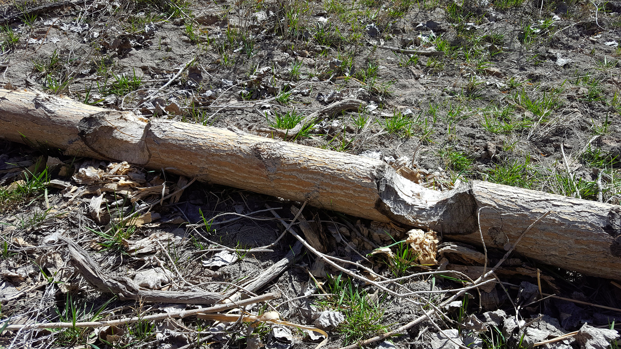
We continued on, following the river. I noticed a lot of beaver sign. I hadn't realized beavers inhabit the desert as well. There's a river, so I guess it makes sense!
We improvised our own cutoff of a bend in the river.
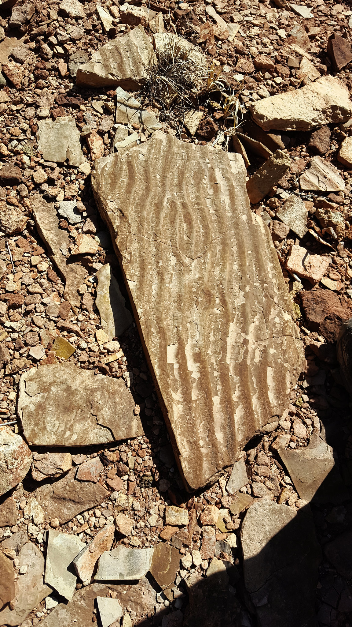
I thought the petrified sand ripples in this rock were cool.
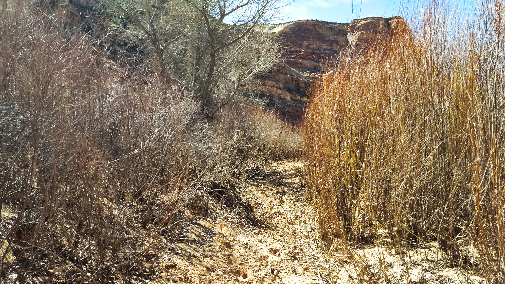
The going got very brushy. We were getting tired from being in the sun, so we started to look for a place to camp.
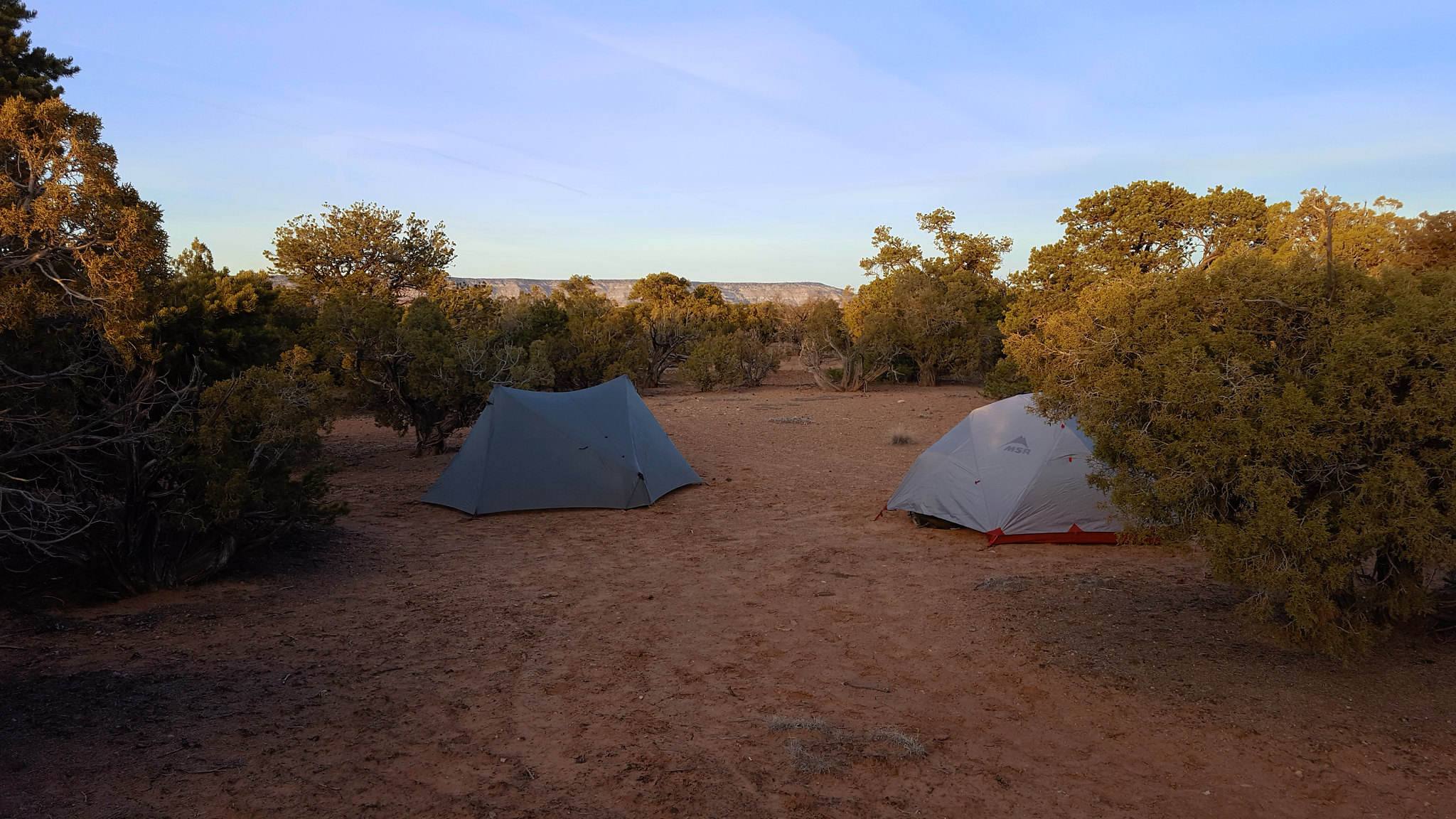
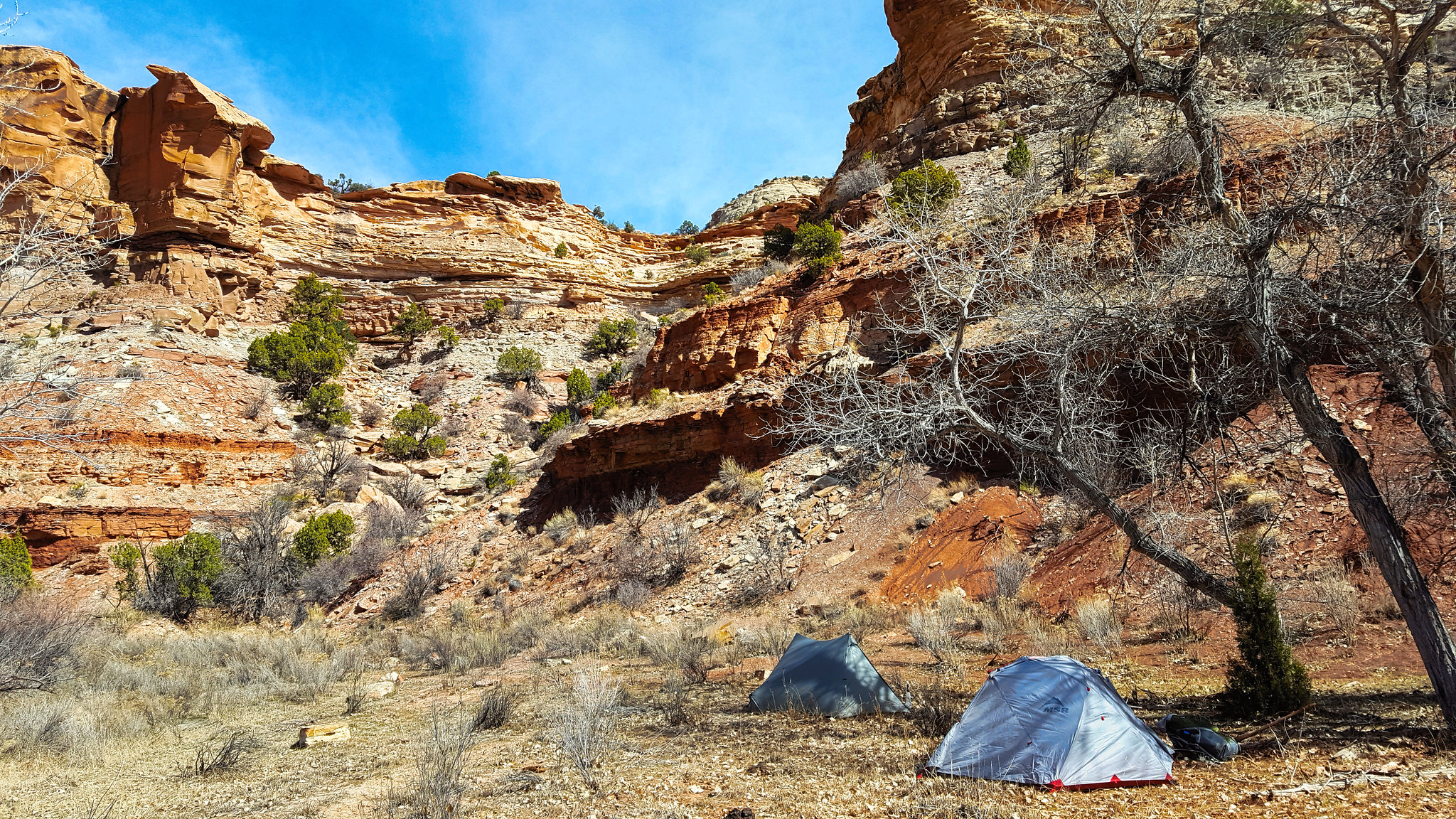
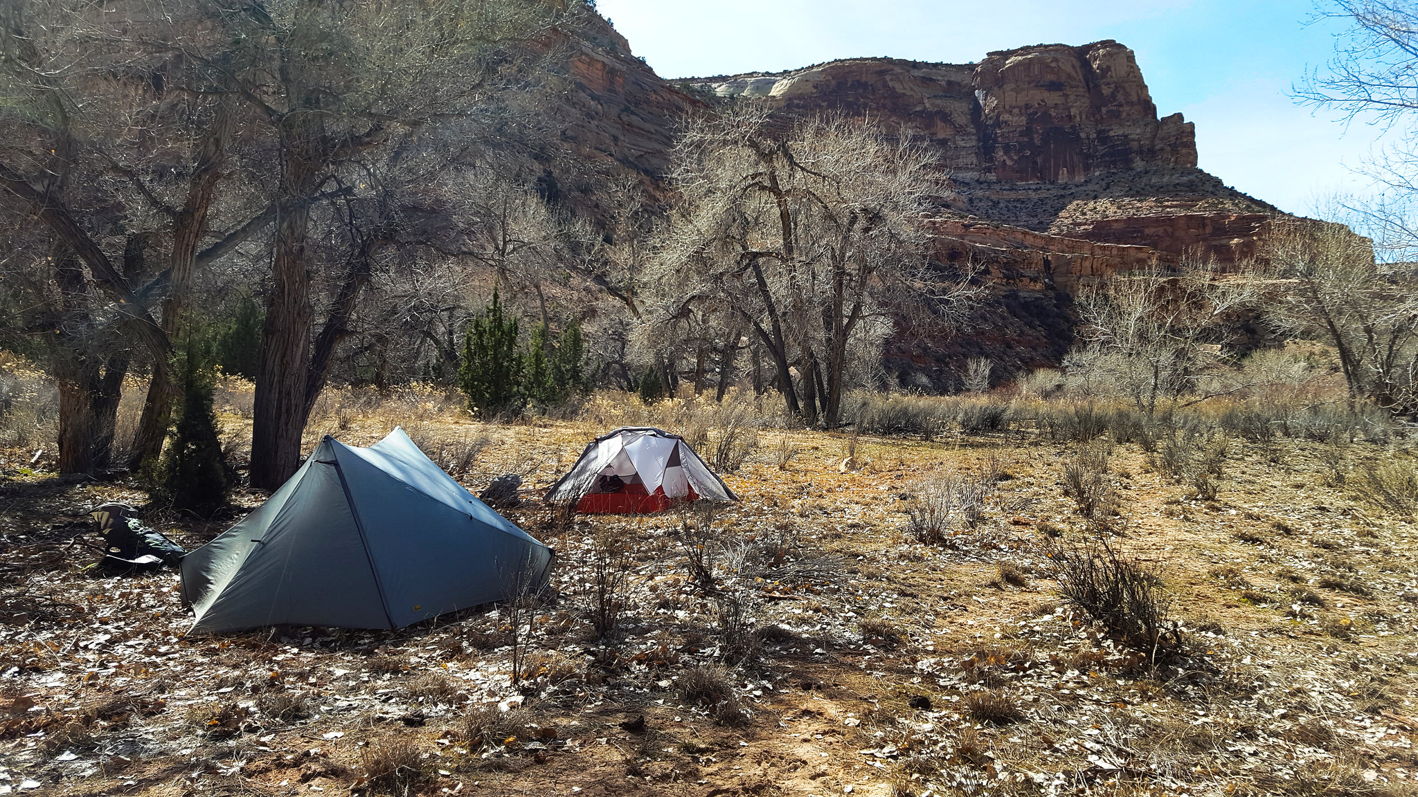
We found a nice clear, flat spot. We had to kick a lot of cow crap out of the way though. The large amount of cow crap on this trail was probably my least favorite part of the trip.
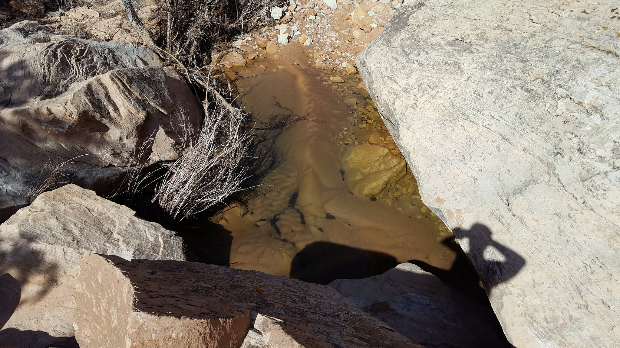
After setting up, I decided to go looking for water. I had tried the river water earlier and it was not the best. I mistakenly believed we were next to Virgin Spring Canyon, so I headed up the canyon expecting to find a big pool full of nice water. And I hoped to see the pictograph panel in the canyon as well. I found some water, but it wasn't the pool I was expecting. It was great though. So much better than the river.
I didn't realize my geography mistake until I got home. I'm still mad at myself for not studying my map closer at the time. I'd really like to get back there and see the pictographs in Virgin Spring Canyon.
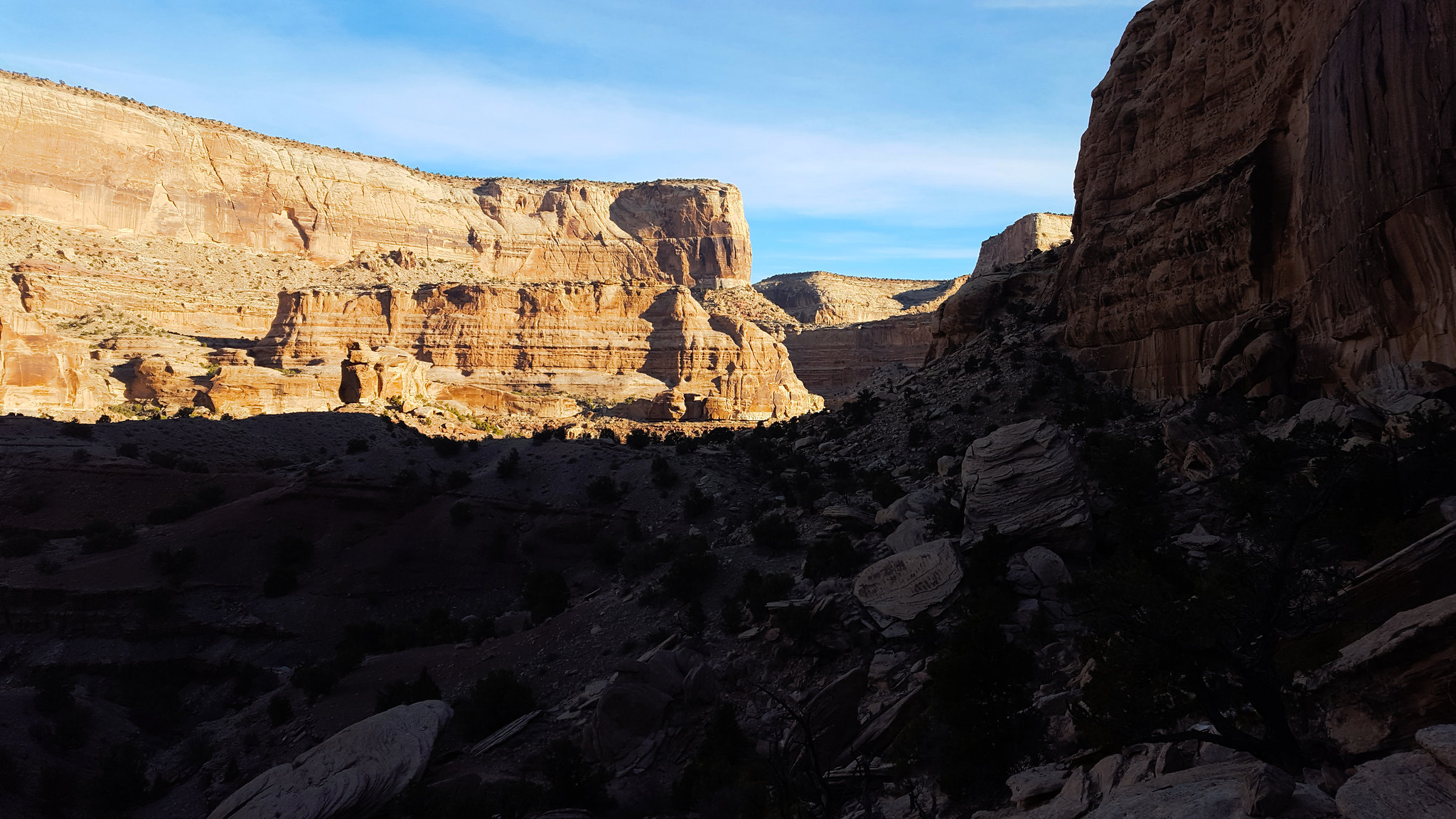
After dinner, we decided to ascend the rocks near camp to see if we could get to the top. We didn't make it, but the views were good.
Darkness came pretty quickly. We sat around for a bit, then went to bed. The moon was bright. In the middle of the night, something came crashing down the hill next to us, thrashed around in the bushes nearby for a few minutes, and then ran back up the hill. I still have no idea what it was. Deer? Ram? Mountain lion? I should've poked my head out of my tent.
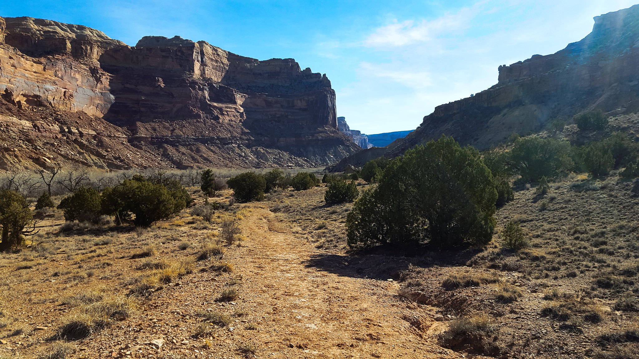
In the morning, we got going pretty early. We took the Cane Wash cutoff. It was much easier than we expected.
We saw the family from the day before camped on the other side of the river, across from Cane Wash.
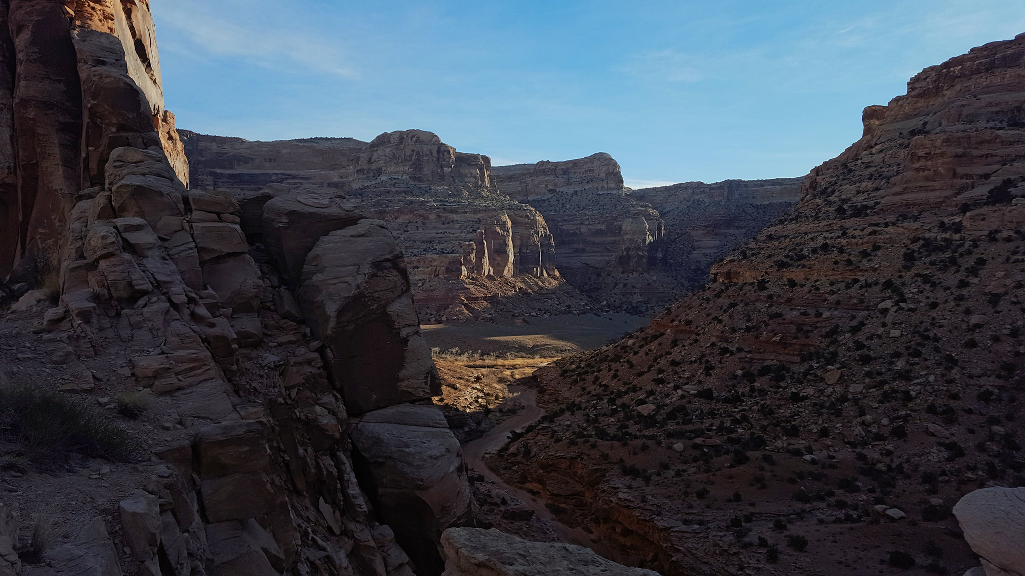
The rest of the hike was pretty uneventful. Nice walking.
Now that I'm done with school for the summer, I have a bit more time to write up trip reports.
We had Spring Break, so I drove down to the Wedge Sunday night with a friend from school. We car camped that night. It was so quiet out there. Other than a quietly hooting owl, I heard nothing else all night.
In the morning, we headed down Buckhorn Wash to the river. My friend hadn't been down this way before, so we stopped at the Buckhorn Wash Panel on the way down.
We reached the trailhead and we set out. We passed a small family in the first quarter mile, and we only saw one other person the rest of the time. The hike was pleasant. Temperatures were warmer than they had been, and the river was pretty. It was unfortunate that no leaves had really started to grow. All the plants nearby looked pretty dead, as you will see.
The water was running nice and clear. I was happy to see that, in case we had to drink river water along the way.
In a few places, we found this chalky stone that erodes very interestingly. My pack still has a white spot on it from where I brushed up against this stuff.
We got to Cane Wash after a bit. Aptly named, because there is a huge amount of canelike grass growing where it empties into the San Rafael.
The dip in the rock wall is a good cutoff you can take instead of following the river. I wish I had taken more than one picture of it because this one came out blurry. We skipped the cutoff on the way out, but we took it on the way back the next morning.
We stopped for lunch, and we checked out the pictographs nearby.
There appeared to be pigment splattered on the underside of the rock with the pictographs.
We continued on, following the river. I noticed a lot of beaver sign. I hadn't realized beavers inhabit the desert as well. There's a river, so I guess it makes sense!
We improvised our own cutoff of a bend in the river.
I thought the petrified sand ripples in this rock were cool.
The going got very brushy. We were getting tired from being in the sun, so we started to look for a place to camp.
We found a nice clear, flat spot. We had to kick a lot of cow crap out of the way though. The large amount of cow crap on this trail was probably my least favorite part of the trip.
After setting up, I decided to go looking for water. I had tried the river water earlier and it was not the best. I mistakenly believed we were next to Virgin Spring Canyon, so I headed up the canyon expecting to find a big pool full of nice water. And I hoped to see the pictograph panel in the canyon as well. I found some water, but it wasn't the pool I was expecting. It was great though. So much better than the river.
I didn't realize my geography mistake until I got home. I'm still mad at myself for not studying my map closer at the time. I'd really like to get back there and see the pictographs in Virgin Spring Canyon.
After dinner, we decided to ascend the rocks near camp to see if we could get to the top. We didn't make it, but the views were good.
Darkness came pretty quickly. We sat around for a bit, then went to bed. The moon was bright. In the middle of the night, something came crashing down the hill next to us, thrashed around in the bushes nearby for a few minutes, and then ran back up the hill. I still have no idea what it was. Deer? Ram? Mountain lion? I should've poked my head out of my tent.
In the morning, we got going pretty early. We took the Cane Wash cutoff. It was much easier than we expected.
We saw the family from the day before camped on the other side of the river, across from Cane Wash.
The rest of the hike was pretty uneventful. Nice walking.