Udink
Still right here.
- Joined
- Jan 17, 2012
- Messages
- 1,734
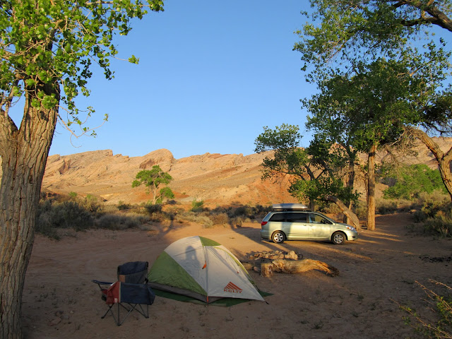
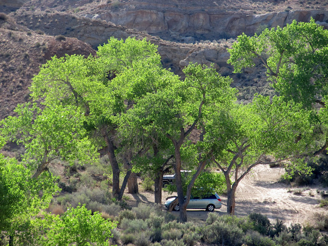
Late last year I got an e-mail from Listorama (Dave) asking if I'd be interested in a hike in the San Rafael Reef sometime in April or May. I'd met up with Dave once four years ago for a little hiking, and checking out the Reef with him sounded like fun. He got in touch again in mid-April and we made plans to meet last weekend. I drove down to our planned camp spot near Spring Canyon (that's the unofficial official name of the canyon) after work on Friday afternoon. I was there by 4:30 but hadn't planned on Dave arriving 'til around 5:00 or 6:00, so I thought I'd take a short hike up the canyon to the dryfall and pool. I only got a couple hundred yards from the truck when I turned around to take a photo and saw Dave near where I'd parked. I walked back and we decided on a spot to camp. It was a little windy so I put off setting up my tent until it was almost dark, but the wind never let up--it kept me from sleeping through the night, but by morning things were calm and perfect for hiking.
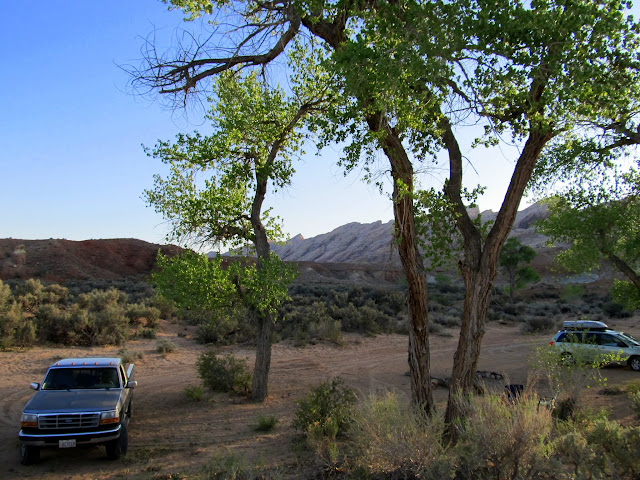
Friday night's camp near Spring Canyon
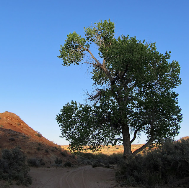
Sunset on a cottonwood at camp
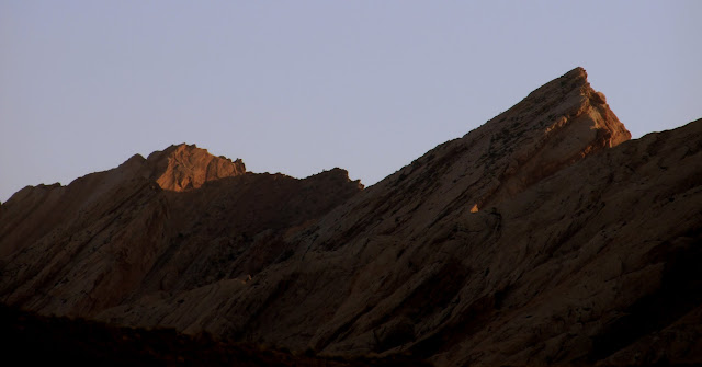
The low sun reflecting off the San Rafael Reef
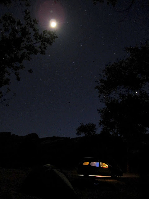
My tent and Dave's minivan under the night sky
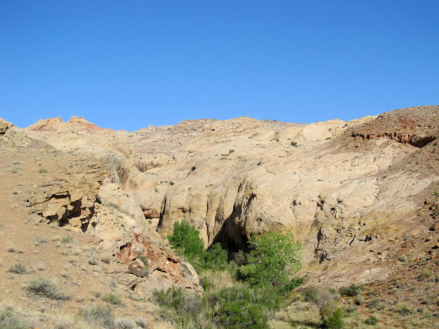
We were awake by 7:00 on Saturday morning. We ate breakfast and I took down my camp, and we started hiking at 8:30. I had been twice to the point on top of the Reef to which Dave wanted to hike, once in 2004 and again in 2006. I still had my GPS tracklog from the 2006 hike, and I uploaded a few key waypoints into my GPS for this trip to help us find our way past the difficult-to-navigate sections in case Dave wanted to follow my route. We did just that, but there was one spot where we had to sit on a ledge and slide on our butts down to the bottom in order to get into the correct canyon. Dave wasn't comfortable doing it, but he did anyway with the caveat that we not return that way. I was all for that because I wanted to see some different terrain on the way down the Reef.
Camp at 7:00AM Saturday morning
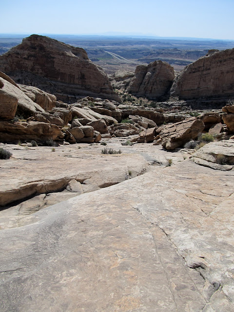
Spring Canyon
View back toward camp after the start of the hike up the Reef
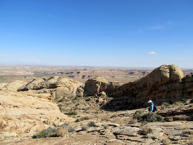
View of the terrain ahead of us
Spring Canyon
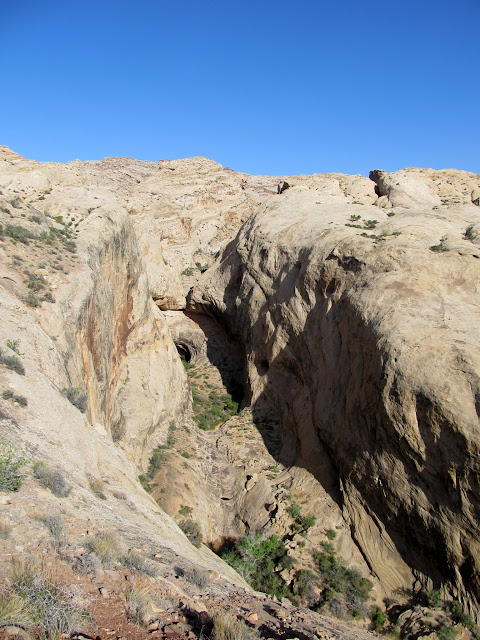
Obligatory view south along the San Rafael Reef through the Squeeze
Bouldery section in upper Spring Canyon
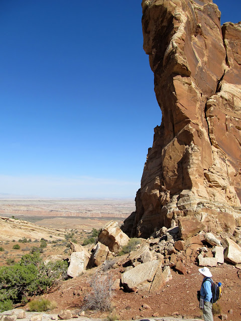
Approaching the sketchy dropoff into the canyon
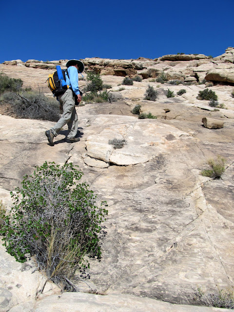
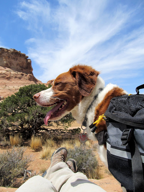
Torrey doing what Torrey does
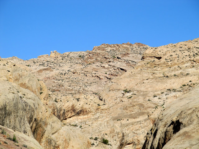
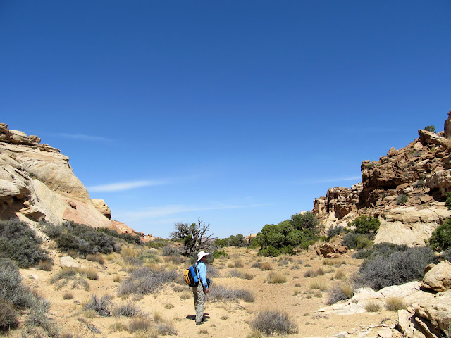
After some steady climbing--some on broken terrain and some on enormous smooth slabs of sandstone--we reached a very pleasant valley formed around a large fault in the sandstone. I'd been there before but didn't remember it being this nice. We reached the edge of the San Rafael Reef, though there were cliffs separating us from a higher point on the Reef to the northeast. We broke for lunch in the valley, then lied down for a bit and I almost fell asleep. The cool breeze was offset by the occasional calm that let me absorb warmth from the sun. After a nice rest we separated and each explored on our own for a bit. Dave checked out the lower edge of the cliffs on the west side of the valley while I scrambled around both sides of the fault crack in the center of the valley trying to get a better view into a large canyon to the south. After meeting back up where we'd stopped for lunch, we headed back down the valley in search for a route to the higher point on the Reef to the northeast.
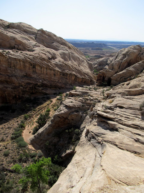
View down Spring Canyon
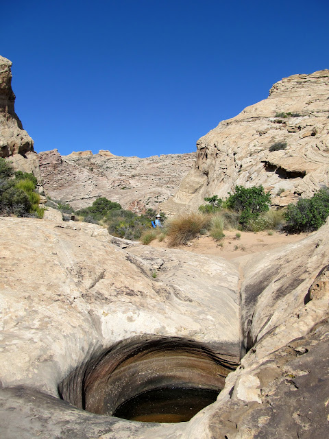
Pothole and Dave
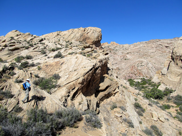
Dave approaching the slabs
Starting up the slabs
Tiny pinkish wildflowers
Yellow wildflowers
Torrey
Well up the San Rafael Reef
More steep climbing
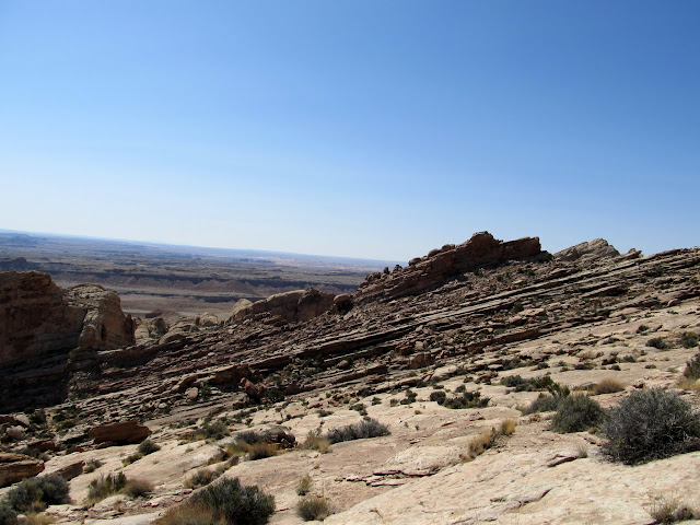
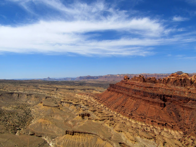
View showing the angled uplift of the Reef
Entering a very pleasant valley
Faultline crack through the valley
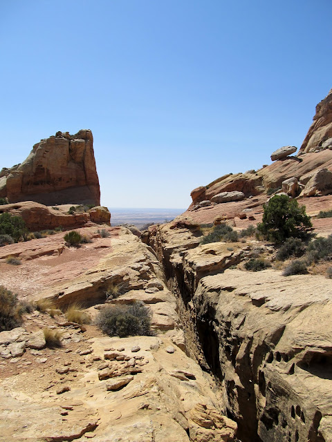
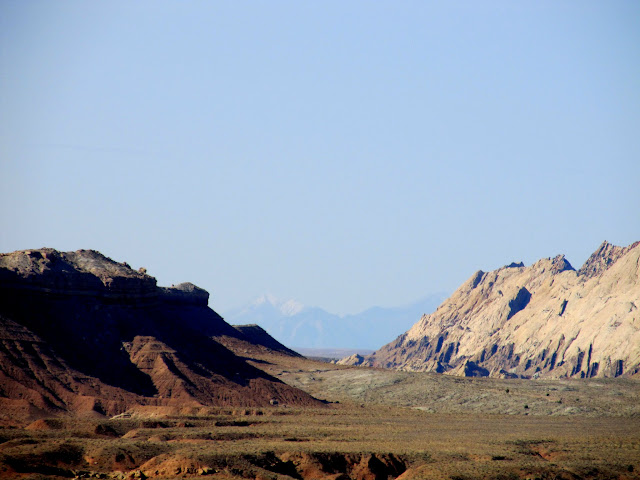
View through the crack into the Swell and toward I-70
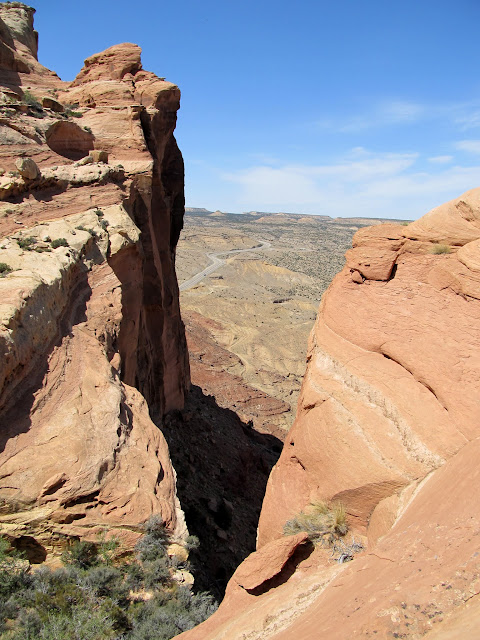
I-70 and the Black Dragon cutoff road
Dave near--but not too near--the edge
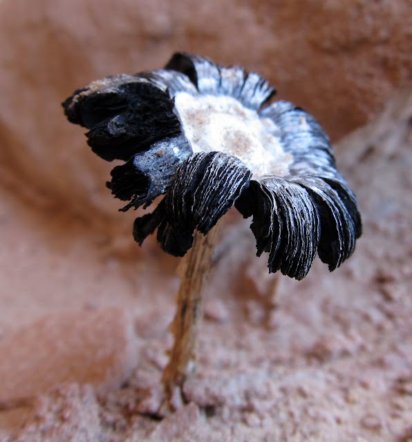
A sorry but interesting mushroom
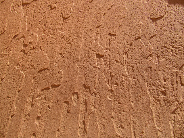
Texture on a boulder
Torrey hovering over me while I tried to nap
Torrey wishing she could follow me down the ledges
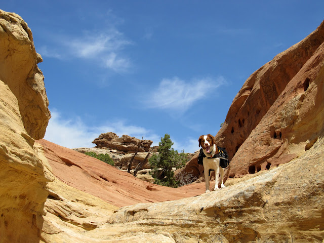
Tiny arches
We only backtracked less than a quarter-mile before finding an easy break in the cliffs to walk up and reach a higher point at the top of the Reef. We enjoyed the view from a slightly higher vantage point, then started our descent back to the vehicles. We didn't follow my GPS tracklog on the way down and ran into a couple of obstacles that required a little backtracking to get past. We got to within a quarter of a mile of the ledge that Dave didn't want to reascend and started following a route that Dave had discovered on previous trips. His route was less technical but more strenuous, requiring us to ascend and descend slopes across two canyons before being able to exit the Reef toward our vehicles. I enjoyed taking a different way out, but my body was starting to overheat a little bit with the added exertion. It was a relief when we could see our vehicles and knew it was an easy walk back to them. We said goodbye and I felt great as I started the drive home. We'd hiked 7.5 miles and gained/lost 1,600 feet of elevation between the vehicles and the top of the Reef (much more when you consider all the ups and downs along the way). During the drive back to Price, though, I got a migraine, probably from some slight heat exhaustion. When I got home I took some ibuprofen and went to bed at 8:00PM and slept for 12 hours. It was the first time in quite a while that I felt sore after a hike, but it was a good kind of sore.
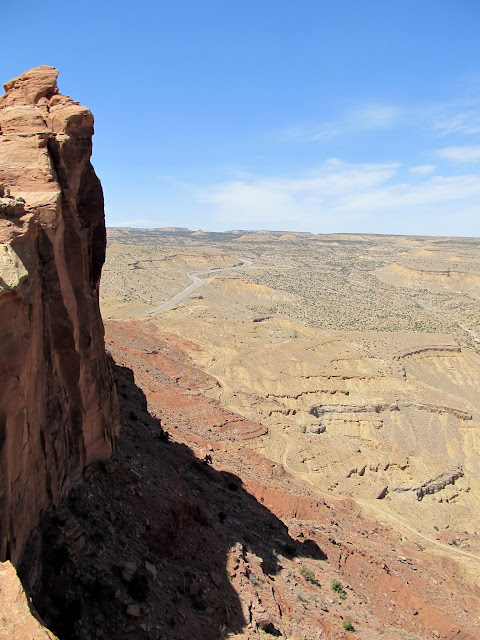
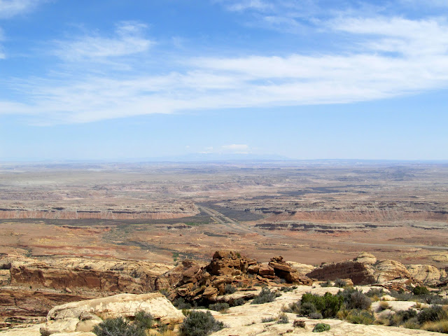
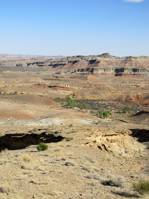
View down the San Rafael Reef toward the San Rafael River and I-70
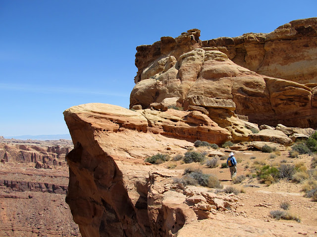
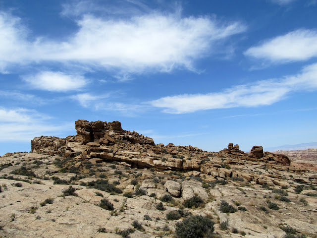
Local high point on the Reef
View northeast from the top of the Reef
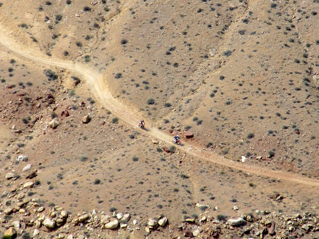
Motorcyclists heading down Black Dragon
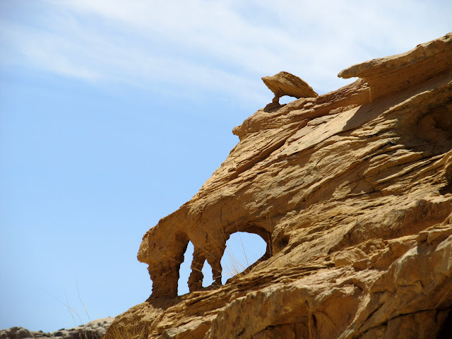
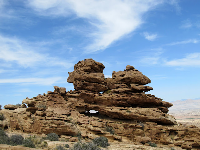
Small arches in a dark sandstone formation
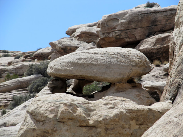
This rock reminded me of a formation I'd seen previously:
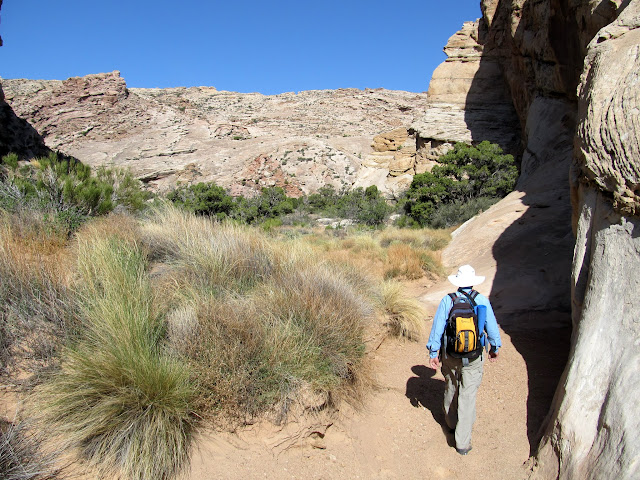
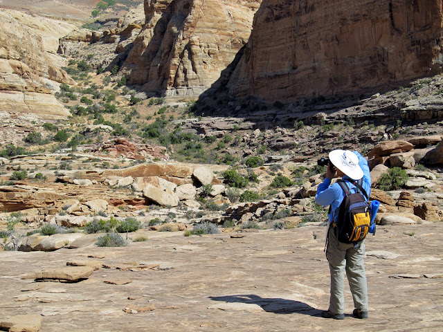
Dave taking some shots on the hike down the Reef
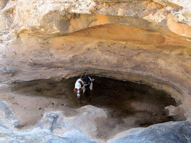
Torrey found one last small pool to take a dip in
After hiking down the Reef, we had to hike up and back down a couple of times to get into a different canyon. This is one of the slabs we hiked up.
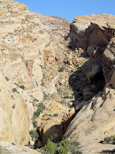
View down upper Spring Canyon
We followed this cliff until we could cut over to the right into the next canyon
Inside a saddle leading to an adjacent canyon
The final canyon route back to the vehicles
Almost back to the vehicles
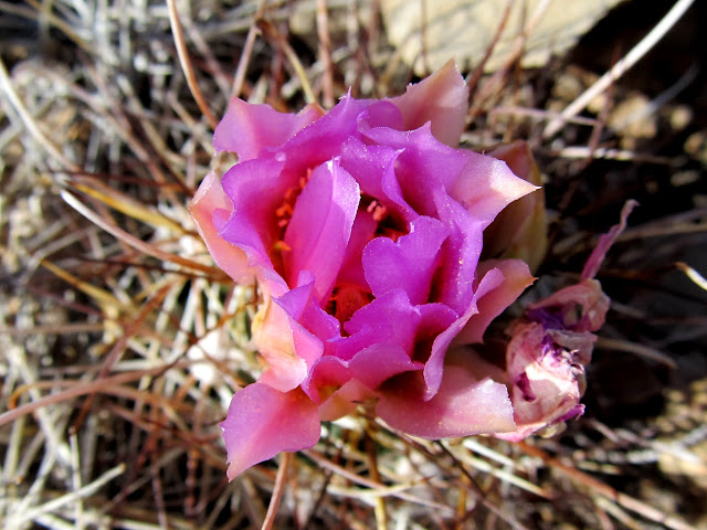
Whipples Fishhook bloom
Google Map:
http://maps.google.com/maps?q=http://udink.org/geo/SanRafaelReefHikeWithListorama.kmz&hl=en&sll=37.0625,-95.677068&sspn=40.545434,86.572266&t=h&z=15
Google Earth .KMZ File:
http://udink.org/geo/SanRafaelReefHikeWithListorama.kmz
Picasa Photo Gallery:
https://picasaweb.google.com/Dennis.Udink/SanRafaelReefHikeWithListorama
Featured image for slideshow:

Friday night's camp near Spring Canyon
Sunset on a cottonwood at camp
The low sun reflecting off the San Rafael Reef
My tent and Dave's minivan under the night sky
We were awake by 7:00 on Saturday morning. We ate breakfast and I took down my camp, and we started hiking at 8:30. I had been twice to the point on top of the Reef to which Dave wanted to hike, once in 2004 and again in 2006. I still had my GPS tracklog from the 2006 hike, and I uploaded a few key waypoints into my GPS for this trip to help us find our way past the difficult-to-navigate sections in case Dave wanted to follow my route. We did just that, but there was one spot where we had to sit on a ledge and slide on our butts down to the bottom in order to get into the correct canyon. Dave wasn't comfortable doing it, but he did anyway with the caveat that we not return that way. I was all for that because I wanted to see some different terrain on the way down the Reef.
Camp at 7:00AM Saturday morning
Spring Canyon
View back toward camp after the start of the hike up the Reef
View of the terrain ahead of us
Spring Canyon
Obligatory view south along the San Rafael Reef through the Squeeze
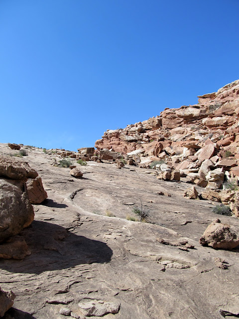
Bouldery section in upper Spring Canyon
Approaching the sketchy dropoff into the canyon
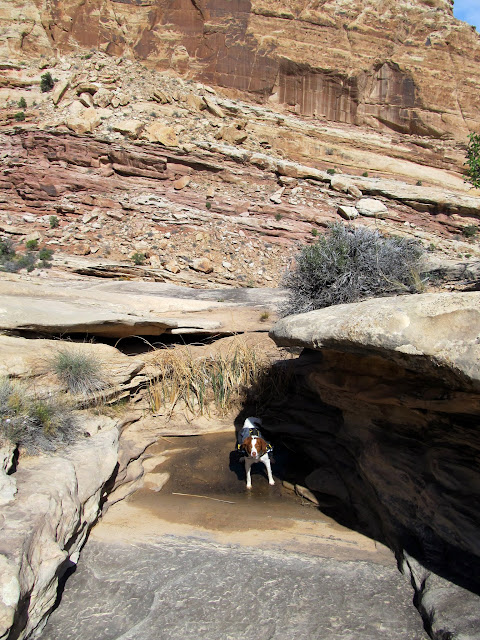
Torrey doing what Torrey does
After some steady climbing--some on broken terrain and some on enormous smooth slabs of sandstone--we reached a very pleasant valley formed around a large fault in the sandstone. I'd been there before but didn't remember it being this nice. We reached the edge of the San Rafael Reef, though there were cliffs separating us from a higher point on the Reef to the northeast. We broke for lunch in the valley, then lied down for a bit and I almost fell asleep. The cool breeze was offset by the occasional calm that let me absorb warmth from the sun. After a nice rest we separated and each explored on our own for a bit. Dave checked out the lower edge of the cliffs on the west side of the valley while I scrambled around both sides of the fault crack in the center of the valley trying to get a better view into a large canyon to the south. After meeting back up where we'd stopped for lunch, we headed back down the valley in search for a route to the higher point on the Reef to the northeast.
View down Spring Canyon
Pothole and Dave
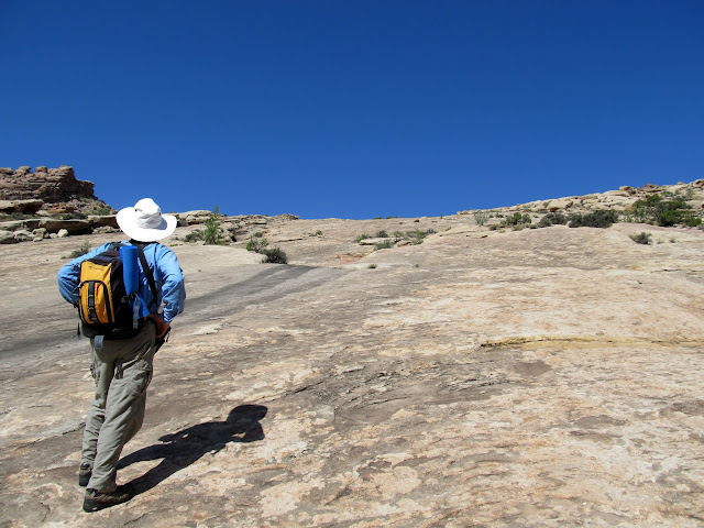
Dave approaching the slabs
Starting up the slabs
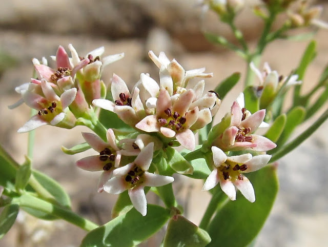
Tiny pinkish wildflowers
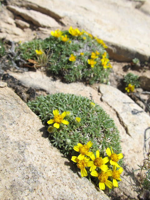
Yellow wildflowers
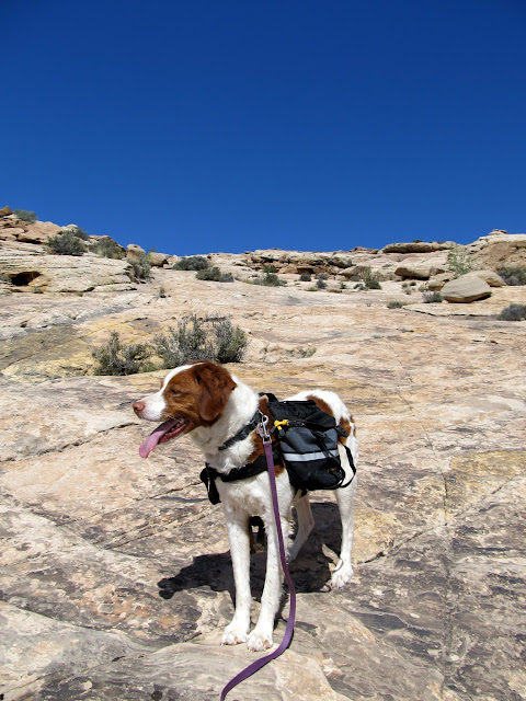
Torrey
Well up the San Rafael Reef
More steep climbing
View showing the angled uplift of the Reef
Entering a very pleasant valley
Faultline crack through the valley
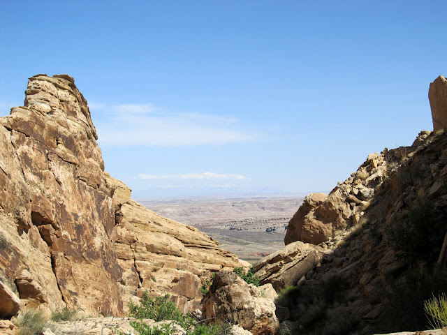
View through the crack into the Swell and toward I-70
I-70 and the Black Dragon cutoff road
Dave near--but not too near--the edge
A sorry but interesting mushroom
Texture on a boulder
Torrey hovering over me while I tried to nap
Torrey wishing she could follow me down the ledges
Tiny arches
We only backtracked less than a quarter-mile before finding an easy break in the cliffs to walk up and reach a higher point at the top of the Reef. We enjoyed the view from a slightly higher vantage point, then started our descent back to the vehicles. We didn't follow my GPS tracklog on the way down and ran into a couple of obstacles that required a little backtracking to get past. We got to within a quarter of a mile of the ledge that Dave didn't want to reascend and started following a route that Dave had discovered on previous trips. His route was less technical but more strenuous, requiring us to ascend and descend slopes across two canyons before being able to exit the Reef toward our vehicles. I enjoyed taking a different way out, but my body was starting to overheat a little bit with the added exertion. It was a relief when we could see our vehicles and knew it was an easy walk back to them. We said goodbye and I felt great as I started the drive home. We'd hiked 7.5 miles and gained/lost 1,600 feet of elevation between the vehicles and the top of the Reef (much more when you consider all the ups and downs along the way). During the drive back to Price, though, I got a migraine, probably from some slight heat exhaustion. When I got home I took some ibuprofen and went to bed at 8:00PM and slept for 12 hours. It was the first time in quite a while that I felt sore after a hike, but it was a good kind of sore.
View down the San Rafael Reef toward the San Rafael River and I-70
Local high point on the Reef
View northeast from the top of the Reef
Motorcyclists heading down Black Dragon
Small arches in a dark sandstone formation
This rock reminded me of a formation I'd seen previously:
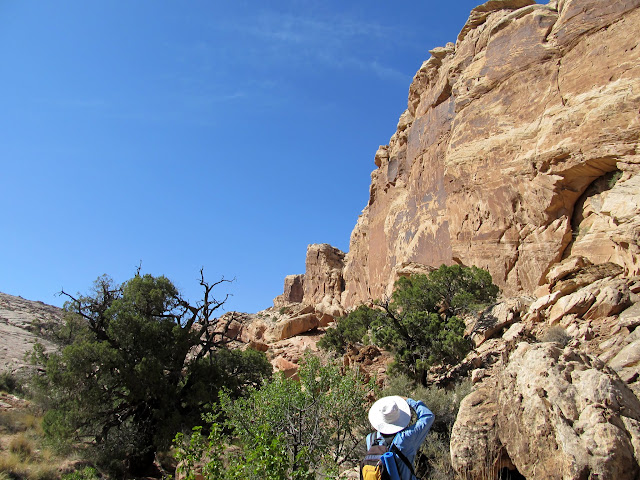
Dave taking some shots on the hike down the Reef
Torrey found one last small pool to take a dip in
After hiking down the Reef, we had to hike up and back down a couple of times to get into a different canyon. This is one of the slabs we hiked up.
View down upper Spring Canyon
We followed this cliff until we could cut over to the right into the next canyon
Inside a saddle leading to an adjacent canyon
The final canyon route back to the vehicles
Almost back to the vehicles
Whipples Fishhook bloom
Google Map:
http://maps.google.com/maps?q=http://udink.org/geo/SanRafaelReefHikeWithListorama.kmz&hl=en&sll=37.0625,-95.677068&sspn=40.545434,86.572266&t=h&z=15
Google Earth .KMZ File:
http://udink.org/geo/SanRafaelReefHikeWithListorama.kmz
Picasa Photo Gallery:
https://picasaweb.google.com/Dennis.Udink/SanRafaelReefHikeWithListorama
Featured image for slideshow:
")