Udink
Still right here.
- Joined
- Jan 17, 2012
- Messages
- 1,748
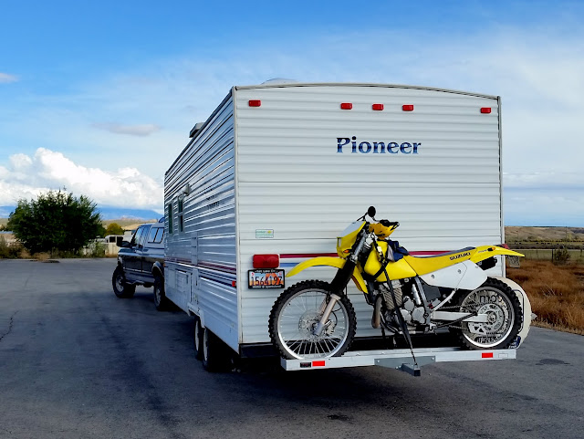
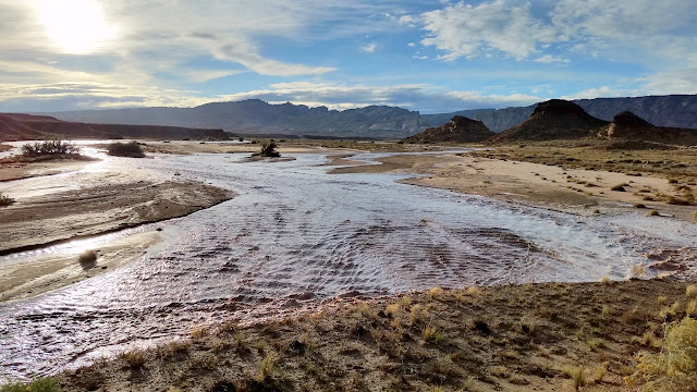
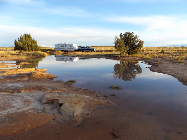
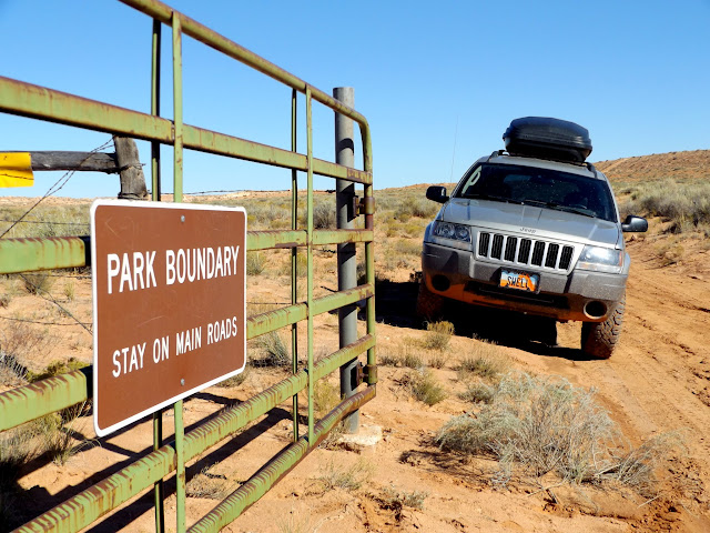
After a quick two-day turnaround between camping trips, on Tuesday I was on my way south for the semi-annual San Rafael geocaching event near Temple Mountain. It was my first chance to utilize the hitch carrier for my motorcycle on the back of the camp trailer, and it was unnerving driving without being able to see the bike. I stopped a couple of times to check on the dirt bike, including a stop at the Iron Wash bridge on UT-24 to watch a nice flash flood that was likely the result of the storm I'd run between Woodside and Green River. My planned campsite was flooded with runoff so I set up a few hundred feet away at sundown.
Ready to roll out with the DR-Z250 on the camp trailer
Iron Wash flash flood
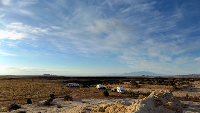
Flooded campsite
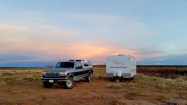
Home for the next five nights
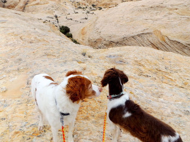
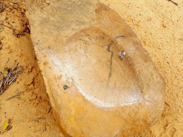
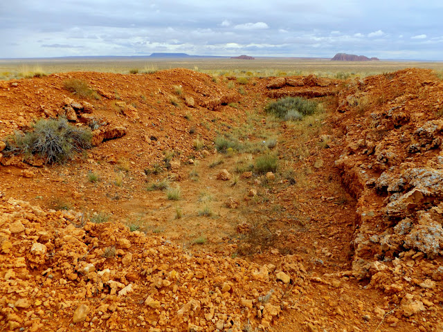
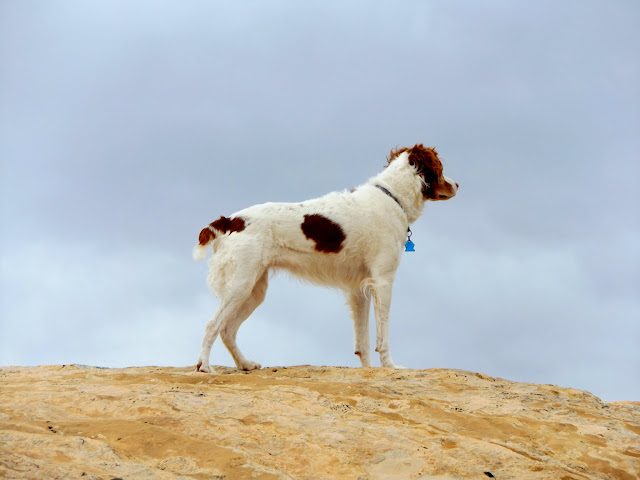
On Wednesday morning I hiked with the dogs around the base of the San Rafael Reef south of South Temple Wash. I didn't find anything terribly interesting, though I did stop to check in on a metate that I'd discovered a year earlier and was pleased to find it still hidden where I'd left it. A short motorcycle ride that afternoon took me to an interesting prospect listed on the USGS topo map just a couple of miles from camp.
Torrey and Boulder during an easy hike on Wednesday
Metate where I left it a year after I discovered it
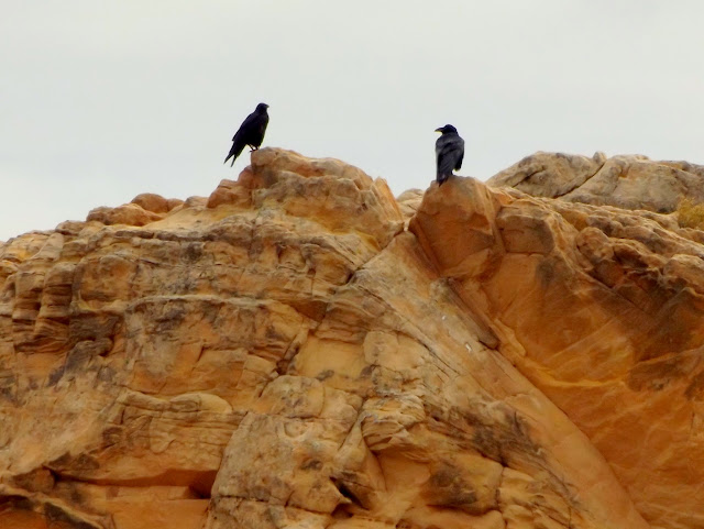
Ravens near camp
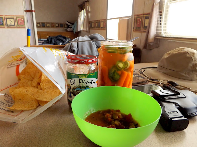
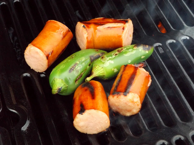
Lunch
Prospect listed on the USGS topo map
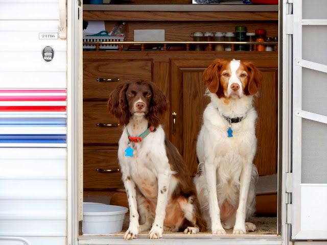
Boulder and Torrey in the camp trailer
Dinner
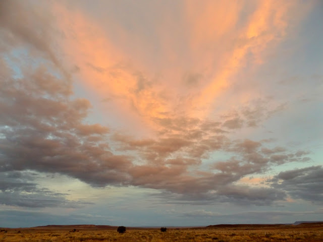
Wednesday's sunset
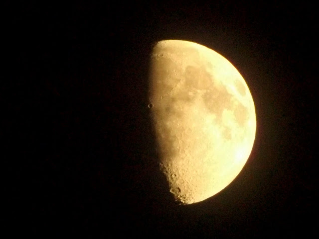
M-O-O-N, that spells moon
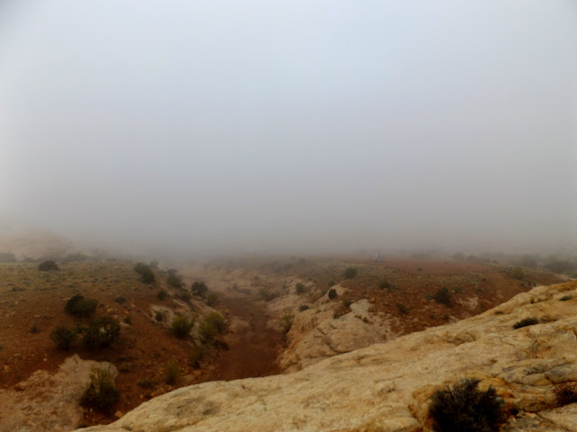
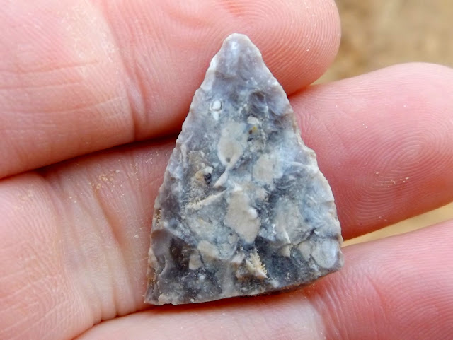
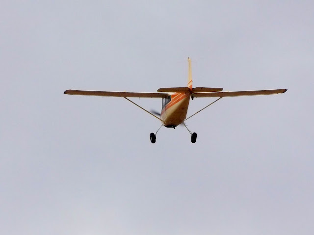
I awoke to a thick layer of fog on Thursday. I postponed a planned hike until it cleared up a bit. I hiked to the top of the San Rafael Reef on the north side of South Temple Wash. On the way I found an arrowhead in a wash in almost the exact same spot I'd found one 3.5 years earlier. Just as I reached the high point I noticed two airplanes approaching from the east that buzzed me a few hundred feet overhead. In the afternoon I rode my motorcycle on the pavement to the Little Wild Horse Canyon trailhead. The dirt road beyond the trailhead was badly washed out and too muddy for a bike, so I did a slippy-slidey u-turn and headed back to camp. Ken and Jan arrived that afternoon and Terry and Karen showed up after dark. Some intense-looking clouds passed overhead in the evening without dropping much moisture, though Terry and fam drove through a bad storm in about the same place I had two days earlier.
Foggy Thursday morning
Ooh, a pretty rock!
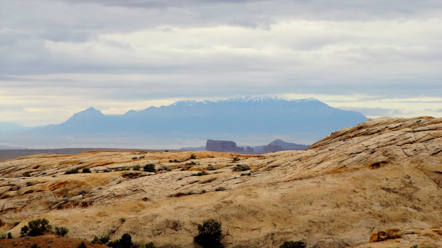
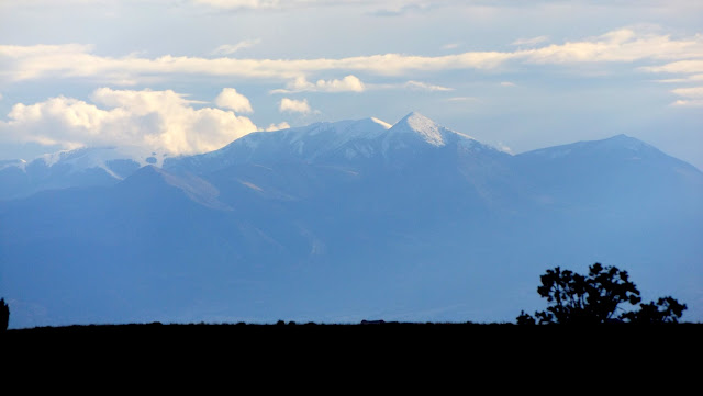
Snow on the Henry Mountains
Capitol Reef spotlighting with Boulder Mountain in the distance
Temple Mountain peeking out over the Reef
Torrey
One of two planes that buzzed me
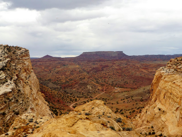
Flat Top above South Temple Wash
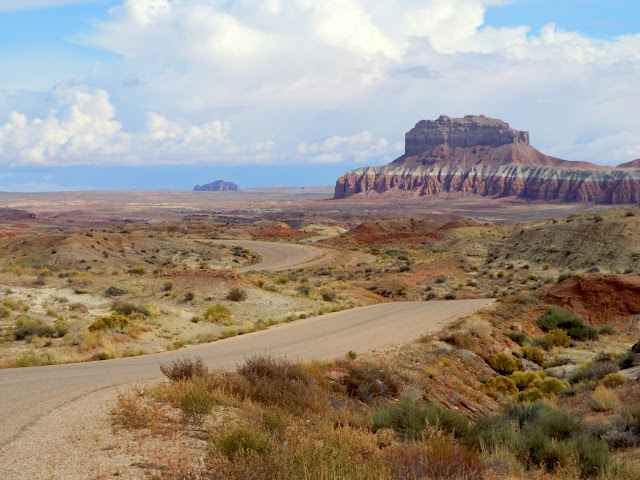
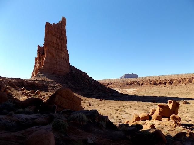
Wild Horse Butte
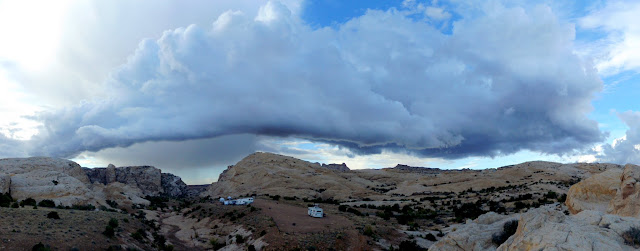
Roll cloud looming above the San Rafael Reef
Snow on Mt. Ellen
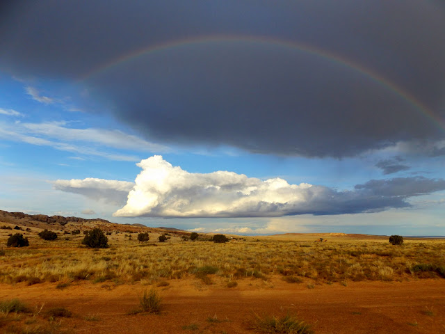
Rainbow north of camp
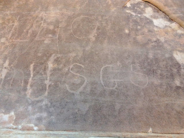
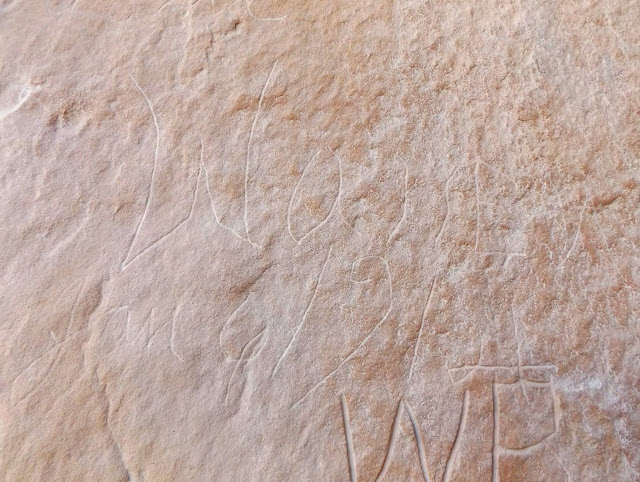
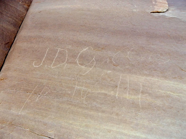
Some hippies walked into our camp on Friday morning and asked for help getting their car unstuck in North Temple Wash. Terry took his 4-wheeler there to pull them out while I rode my motorcycle and looked for some inscriptions in the narrow part of the canyon. After lunch I rode with Terry on the Orange and Green trails. It was my first experience riding desert singletrack. The trails were moderately challenging for me--the only difficult parts were (1) trying to keep up with Terry and (2) one ledgy dropoff on the Orange Trail that sketched me out and took me a couple of minutes to build up the nerve to make the drop. We rode around Temple Mountain and picked up a couple of geocaches on our way back to camp. Traci arrived with the kids that afternoon and I got quite a shock when I saw the Jeep pull up with Traci in the passenger seat. I couldn't see who was driving until the Jeep stopped and Michael stepped out of the driver's door! He's only 14 years old and already has the itch to learn to drive, so Traci let him drive on the short dirt road into camp. A few more people showed up that evening and the following morning, bringing our grand total to 13 people in attendance.
Friday at camp
North Temple Wash
Inscription in North Temple Wash: USGS
Inscription in North Temple Wash: Warren Allred, Jan. 6, 1914
Inscription in North Temple Wash: J.D. Gillies 10-16-1914
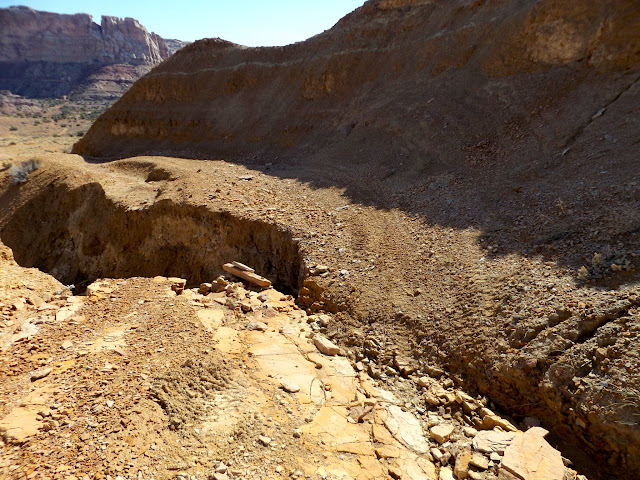
Washed road into upper Farnsworth Canyon
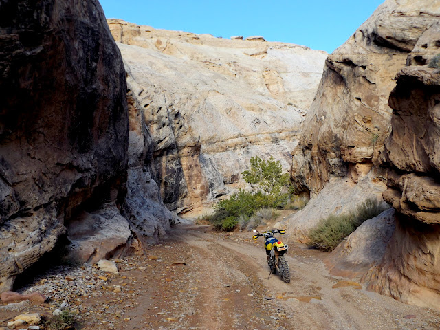
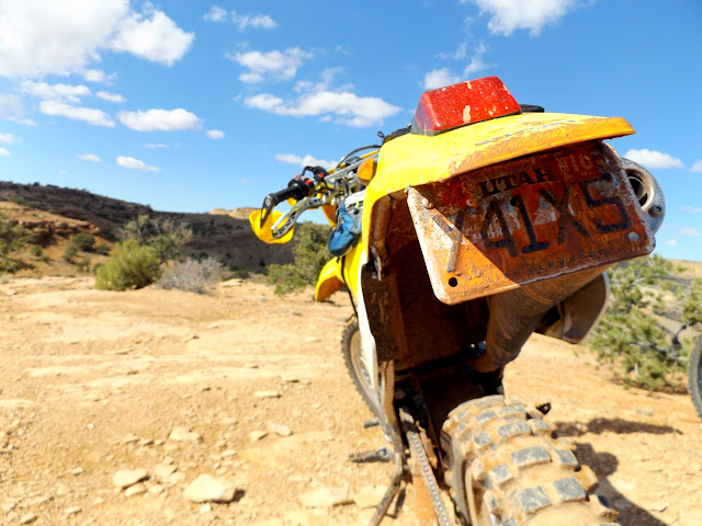
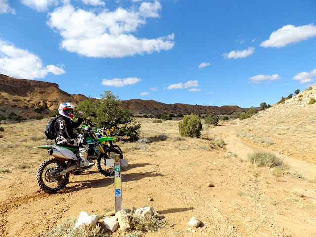
DR-Z250 on the Orange Trail
Junction of Orange and Green trails
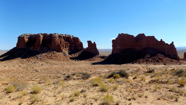
Twin Knolls

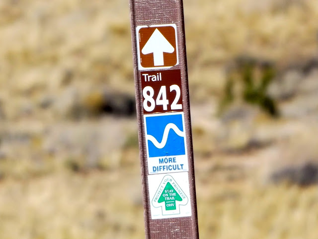
Trail 842
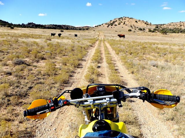
Cows near Taylor Flat
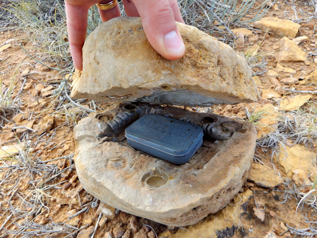
Awesome geocache container
Temple Mountain

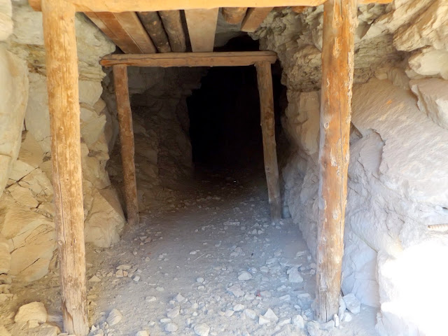
Mine shaft at Temple Mountain
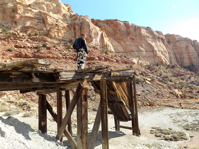
Temple Mountain mining relics
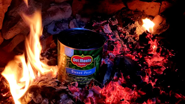
It was a laid-back day on Saturday. I drove solo to Molly's Castle to find a few geocaches while everyone else did their own thang. In the evening we had a wonderful potluck dinner, for which I grilled a couple racks of pork ribs that I'd slow-cooked in the oven at home before the trip. We did the usual blowing up of large cans of vegetables in the camp fire, and Chris and I pulled some shenanigans on a neighboring camp by walking in the dark through their loud bunch of young adults while trying not to be noticed.
Molly's Castle
Molly's Castle
Leaving Molly's Castle
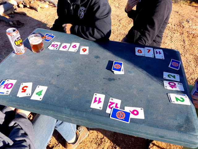
A high-stakes game of Skip-Bo
Sweet peas in the fire
Everyone boogied out on Sunday. We took the kids to a geocache in South Temple Wash before packing up camp and heading home. I'd been disappointed on Saturday when I realized I'd be going home the following day, but on Sunday I was actually ready for a shower and to sleep in my own bed.
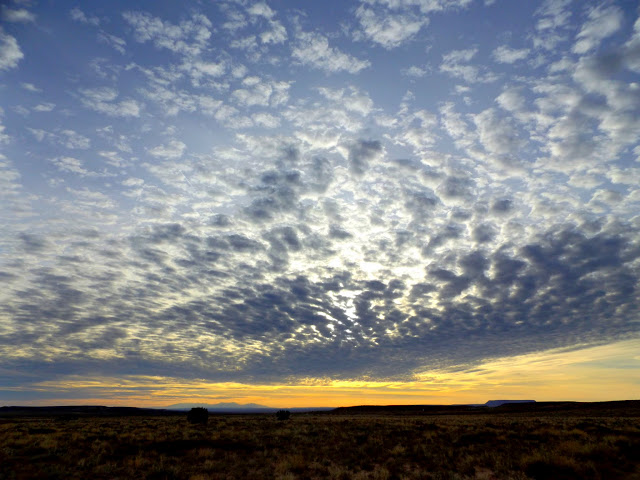
Sunday's sunrise
South Temple Wash
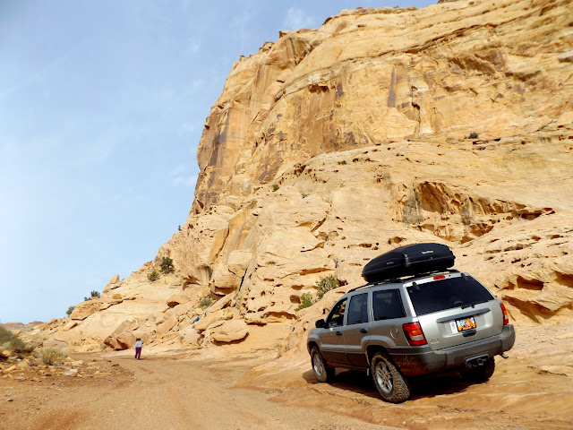
Photo Gallery: San Rafael Fall 2015
Featured image for home page:

Ready to roll out with the DR-Z250 on the camp trailer
Iron Wash flash flood
Flooded campsite
Home for the next five nights
On Wednesday morning I hiked with the dogs around the base of the San Rafael Reef south of South Temple Wash. I didn't find anything terribly interesting, though I did stop to check in on a metate that I'd discovered a year earlier and was pleased to find it still hidden where I'd left it. A short motorcycle ride that afternoon took me to an interesting prospect listed on the USGS topo map just a couple of miles from camp.
Torrey and Boulder during an easy hike on Wednesday
Metate where I left it a year after I discovered it
Ravens near camp
Lunch
Prospect listed on the USGS topo map
Boulder and Torrey in the camp trailer
Dinner
Wednesday's sunset
M-O-O-N, that spells moon
I awoke to a thick layer of fog on Thursday. I postponed a planned hike until it cleared up a bit. I hiked to the top of the San Rafael Reef on the north side of South Temple Wash. On the way I found an arrowhead in a wash in almost the exact same spot I'd found one 3.5 years earlier. Just as I reached the high point I noticed two airplanes approaching from the east that buzzed me a few hundred feet overhead. In the afternoon I rode my motorcycle on the pavement to the Little Wild Horse Canyon trailhead. The dirt road beyond the trailhead was badly washed out and too muddy for a bike, so I did a slippy-slidey u-turn and headed back to camp. Ken and Jan arrived that afternoon and Terry and Karen showed up after dark. Some intense-looking clouds passed overhead in the evening without dropping much moisture, though Terry and fam drove through a bad storm in about the same place I had two days earlier.
Foggy Thursday morning
Ooh, a pretty rock!
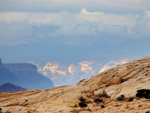
Snow on the Henry Mountains
Capitol Reef spotlighting with Boulder Mountain in the distance
Temple Mountain peeking out over the Reef
Torrey
One of two planes that buzzed me
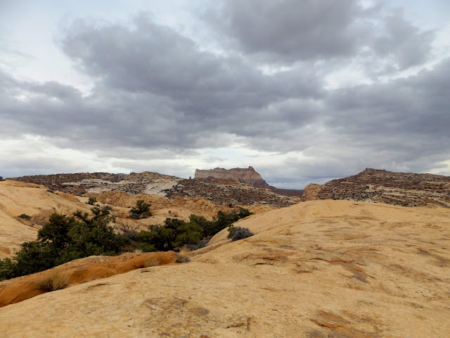
Flat Top above South Temple Wash
Wild Horse Butte
Roll cloud looming above the San Rafael Reef
Snow on Mt. Ellen
Rainbow north of camp
Some hippies walked into our camp on Friday morning and asked for help getting their car unstuck in North Temple Wash. Terry took his 4-wheeler there to pull them out while I rode my motorcycle and looked for some inscriptions in the narrow part of the canyon. After lunch I rode with Terry on the Orange and Green trails. It was my first experience riding desert singletrack. The trails were moderately challenging for me--the only difficult parts were (1) trying to keep up with Terry and (2) one ledgy dropoff on the Orange Trail that sketched me out and took me a couple of minutes to build up the nerve to make the drop. We rode around Temple Mountain and picked up a couple of geocaches on our way back to camp. Traci arrived with the kids that afternoon and I got quite a shock when I saw the Jeep pull up with Traci in the passenger seat. I couldn't see who was driving until the Jeep stopped and Michael stepped out of the driver's door! He's only 14 years old and already has the itch to learn to drive, so Traci let him drive on the short dirt road into camp. A few more people showed up that evening and the following morning, bringing our grand total to 13 people in attendance.
Friday at camp
North Temple Wash
Inscription in North Temple Wash: USGS
Inscription in North Temple Wash: Warren Allred, Jan. 6, 1914
Inscription in North Temple Wash: J.D. Gillies 10-16-1914
Washed road into upper Farnsworth Canyon
DR-Z250 on the Orange Trail
Junction of Orange and Green trails
Twin Knolls
Trail 842
Cows near Taylor Flat
Awesome geocache container
Temple Mountain
Mine shaft at Temple Mountain
Temple Mountain mining relics
It was a laid-back day on Saturday. I drove solo to Molly's Castle to find a few geocaches while everyone else did their own thang. In the evening we had a wonderful potluck dinner, for which I grilled a couple racks of pork ribs that I'd slow-cooked in the oven at home before the trip. We did the usual blowing up of large cans of vegetables in the camp fire, and Chris and I pulled some shenanigans on a neighboring camp by walking in the dark through their loud bunch of young adults while trying not to be noticed.
Molly's Castle
Molly's Castle
Leaving Molly's Castle
A high-stakes game of Skip-Bo
Sweet peas in the fire
Everyone boogied out on Sunday. We took the kids to a geocache in South Temple Wash before packing up camp and heading home. I'd been disappointed on Saturday when I realized I'd be going home the following day, but on Sunday I was actually ready for a shower and to sleep in my own bed.
Sunday's sunrise
South Temple Wash
Photo Gallery: San Rafael Fall 2015
Featured image for home page: