- Joined
- Dec 23, 2013
- Messages
- 4,311
This report covers what was supposed to be a five day backpacking trip through a portion of the Salt River Range in Wyoming. Originally, our group would start at what I call the Smith's Fork Trailhead, head north to McDougal Pass, and then drop down to the North Fork Willow Creek Trailhead. The total distance would be a little over 30 miles. Unfortunately, we had to bail down Crow Creek to the Greys River side of the range on day four, putting our total distance at 22 miles.
Having never been in the Salt Rivers before, I wasn't sure what to expect, but I found that I was pleasantly surprised. The scenery was spectacular, and we only saw one other person the entire time that we were in the backcountry. The range is located on the east side of Star Valley, and I'd passed the range many times on my way to and from Yellowstone or the Teton Wilderness. Of course, going in July means plenty of wildflowers, and plenty of mosquitoes too. The wildflowers didn't disappoint, and I bet I had a couple thousand mosquito bites when it was all over - my body was covered with them.
Here are some shots of our trip:
Day 1 - Smith's Fork Trailhead to a tributary of Corral Creek
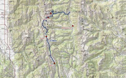
Overview map
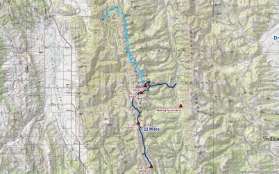
Light blue line was our original route before the change of plans
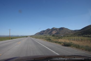
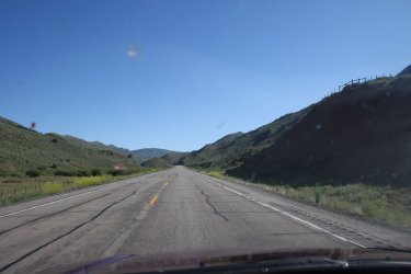
The drive up was through Evanston and Cokeville. Some of the scenery along the way.
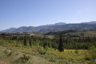
View from Salt River Pass on Highway 89
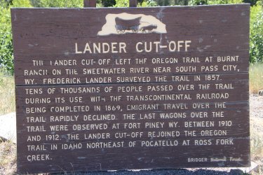
Lander Cut-off sign at the pass
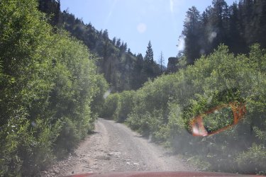
Heading up the Forest Service road just east of Turnerville
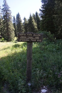
Arriving at the North Fork Willow Trailhead.
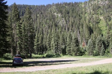
The Sube looks lonely. Bob would arrive in a few minutes to pick me up and the whole group would meet at 225 BBQ for lunch in
Afton.
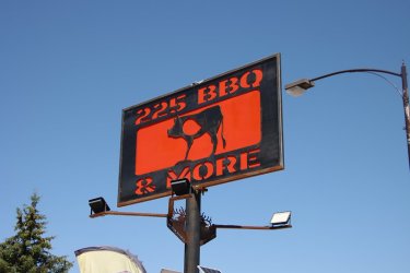
Lunch time!
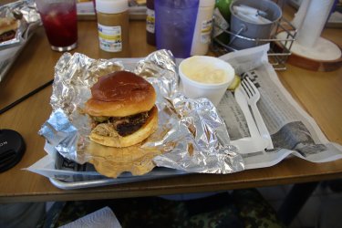
Best pulled pork that I have ever had! And the smoked mac-n-cheese wasn't bad either.
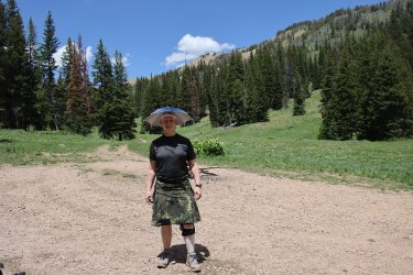
Smith's Fork Trailhead shenanigans.
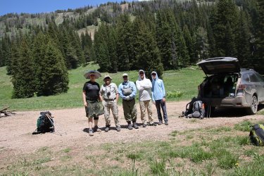
Our group which included myself, @Bob, @Chuckwalla, @wsp_scott and wsp_scott's son.
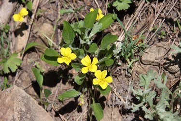
Goosefoot violets were the dominate wildflower of day 1 as they were everywhere
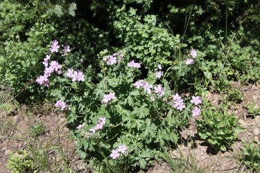
Geraniums were plentiful too
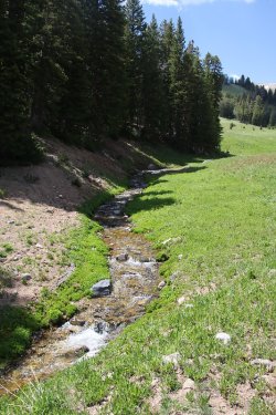
Smith's Fork
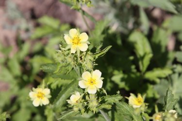
Cinquefoil
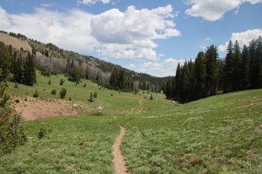
Looking back after crossing Smith's Fork
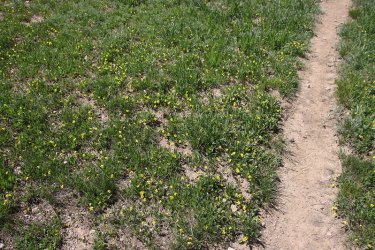
Violets everywhere!
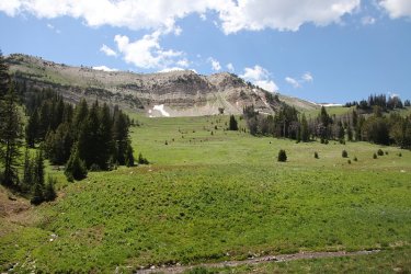
Scenery starting to open up on our way to Sheep Pass
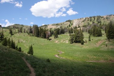
Hilly terrain
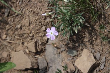
Phlox
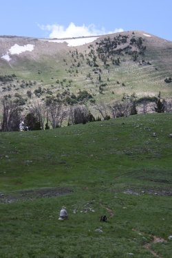
Bob, pondering the moment
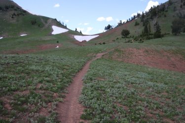
Approaching Sheep Pass. Still some snow fields this time of year.
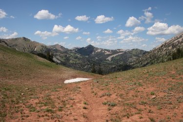
View north from Snow Pass
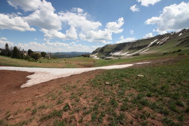
View south from Snow Pass
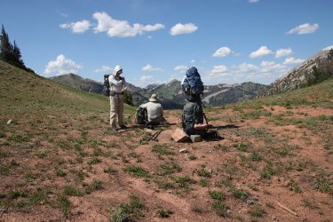
Break on the pass
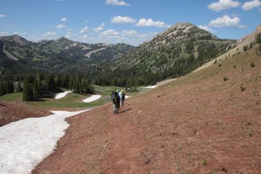
And we are off
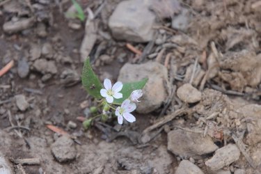
Spring beauties
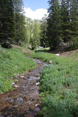
Spring Creek
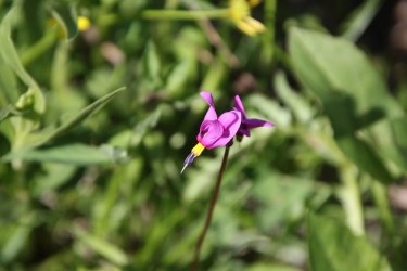
Shooting star
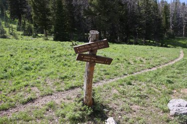
Trail junction, or so it seemed. We sort of lost the trail we wanted at this point.
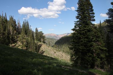
Wyoming Range in the distance
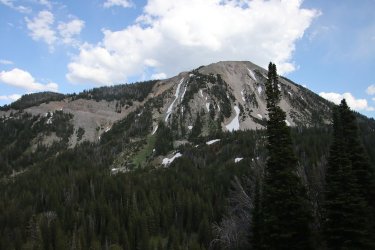
Unnamed peak 10,682
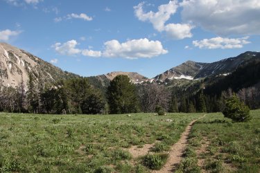
View back to Sheep Pass
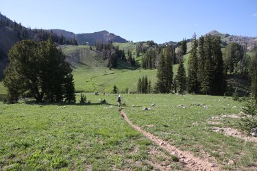
Trailing the pack
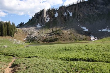
Passing by a tarn
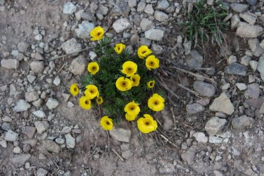
Buttercups
Day 2 - Upper tributary of Corral Creek to a tarn just off South Crow Creek
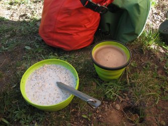
Breakfast
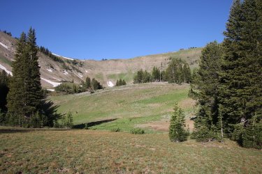
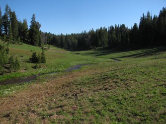
Views from our first night's campsite in the morning
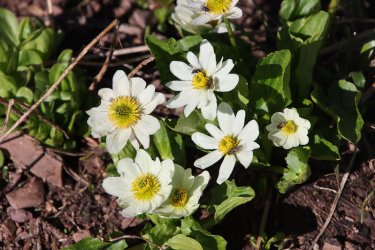
White Marsh Marigold
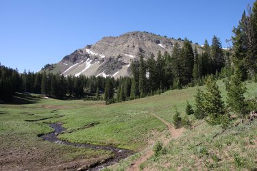
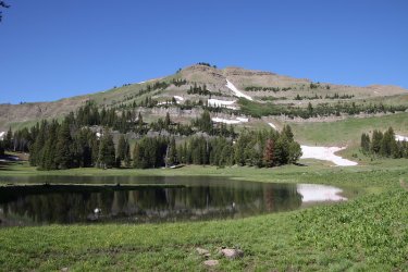
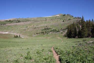
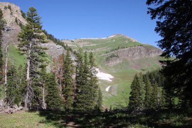
Views from the trail
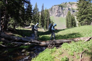
Crossing a stream
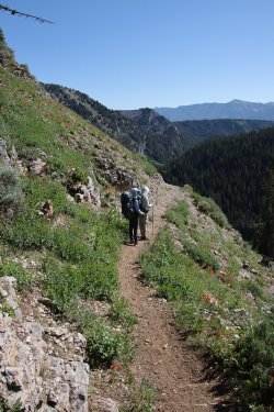
Looking down on a tributary of Corral Creek. Paintbrush was plentiful on the slopes.
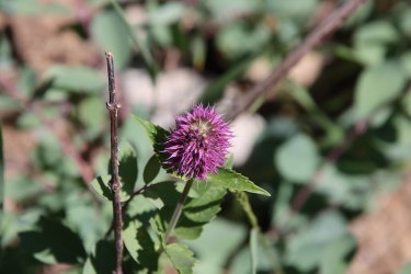
Horsemint
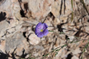
Lewis Flax
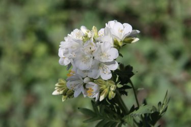
Leafy Jacob's ladder
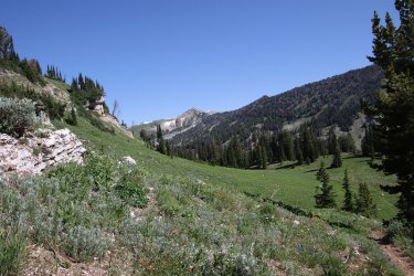
Bottoming out before climbing up to Corral Lake, Corral Creek is down there somewhere.
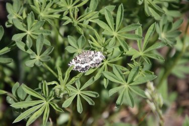
Moth on some lupine
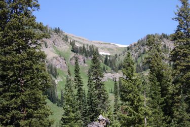
Beautiful country
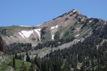
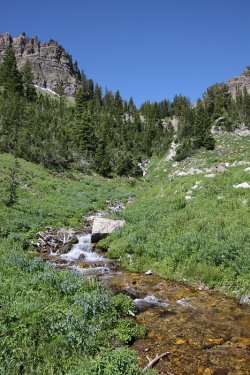
Corral Creek
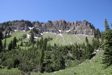
Ridge to the west of us
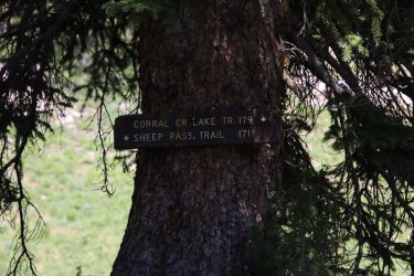
179 please.
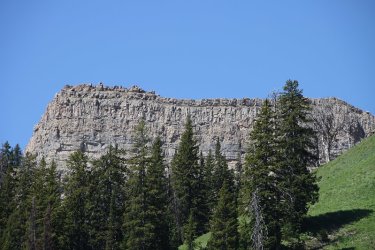
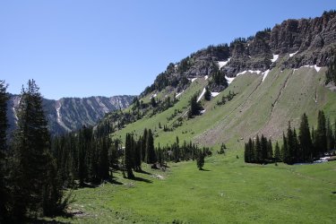
Climbing now
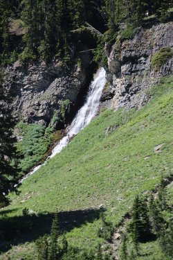
Falls on Corral Creek
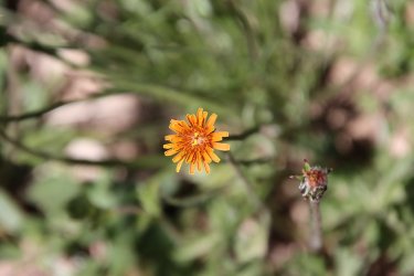
Mountain dandelion
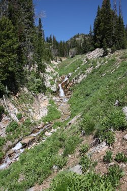
Falls on tributary of Corral Creek
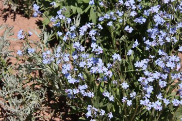
Stickseed
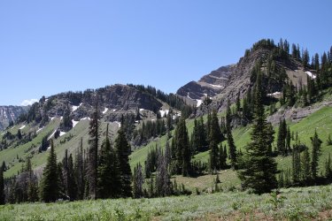
Views heading up to the lake
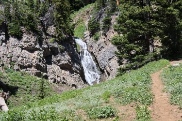
More falls
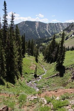
Looking down tributary of Corral Creek
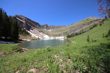
Corral Lake and surroundings
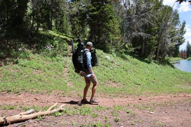
Travis, the only other person that we saw on this trip, using the counterbalance method of backpacking. Hails from Logan, Utah.
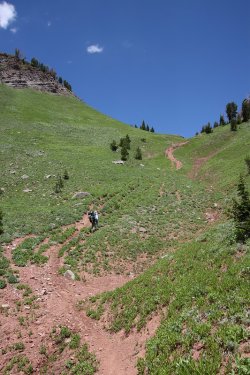
Now this is a @Bob horse trail! Leaving Corral Lake.
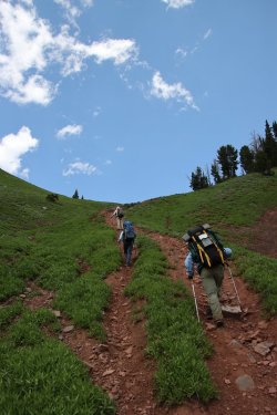
Had to dig in on this one.
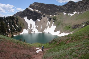
Looking back down at Corral Lake
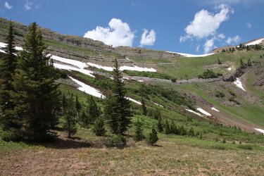
I'm guessing that sometime in August this snow will be gone
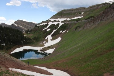
Bob, on Bob's horse trail
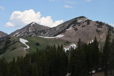
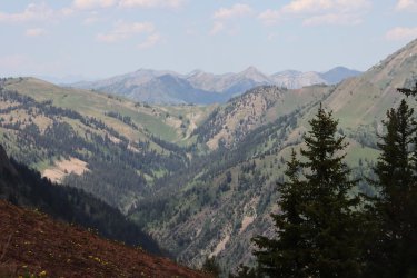
View north from the pass above Corral Lake
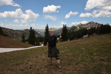
Giving it the thumbs up
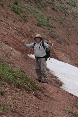
Bob's giving it two thumbs up.

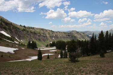
Ridge stretching out to the north
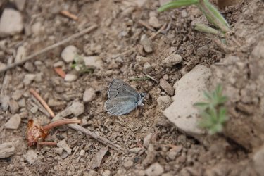
Boisduval's Blue
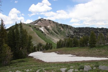
Unnamed Peak 10,689
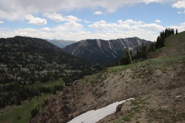
Wyoming Range way off in the distance
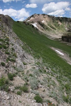
Negotiating a cliff band as we drop down to another upper tributary of Corral Creek
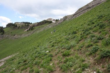
Coming off the cliff band
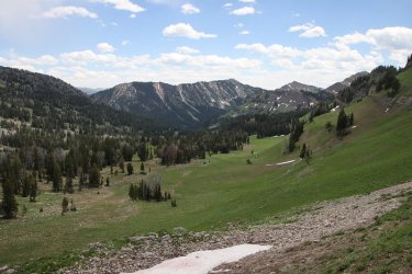
View down the tributary towards Corral Creek
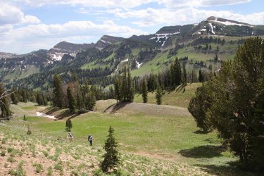
Trying to find the old trail that goes up and over the ridge. The only way is up.
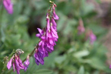
Northern sweetvetch
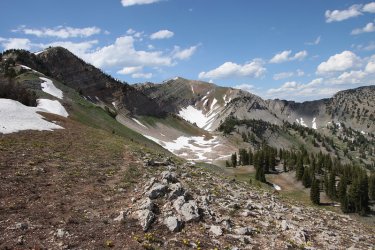
Arriving at the top of the ridge with Mount Fitzpatrick ahead
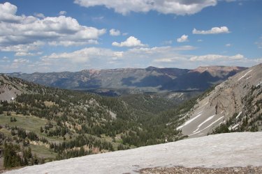
Looking down the South Crow Creek Drainage with the Wyoming Range to the east
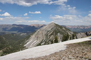
Unnamed Peak 10,315
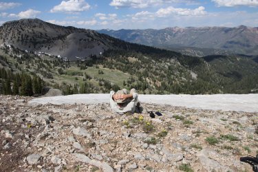
Classic @Bob amidst the buttercups
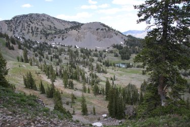
We'll be making camp down near the tarn
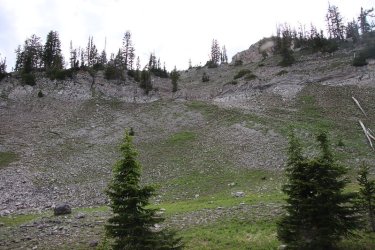
But first another cliff band to negotiate. @wsp_scott above giving it a go.
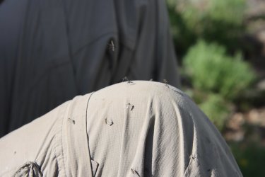
Gives one an idea of the mosquito issue on this trip
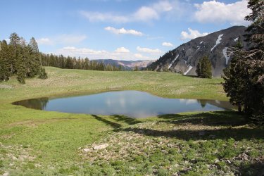
Out tarn for the night
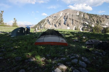
Camp for night 2
Day 3 - Mountain tarn in South Crow Creek Drainage to Crow Creek Lakes.
Day three sort of turned out to be an ass-kicker for our group which caused us to make a change of plans at Crow Creek Lakes. Most of the day was off-trail.
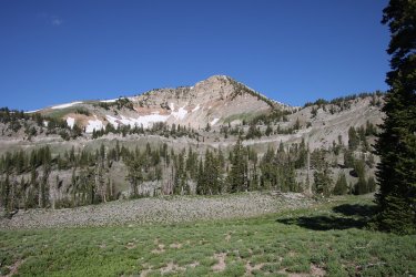
Unnamed Peak 10,689 in the morning sun
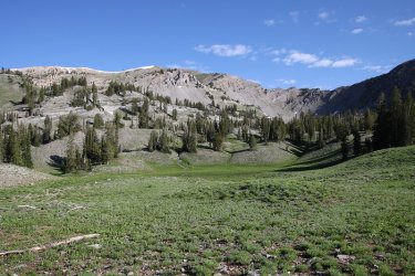
View towards Mount Fitzpatrick
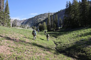
And we are off
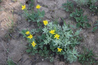
Heart-leafed arnica
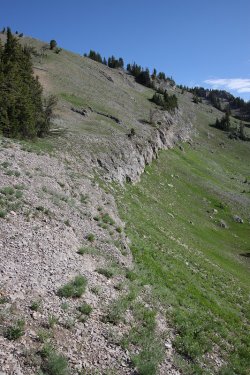
Another cliff band to go down
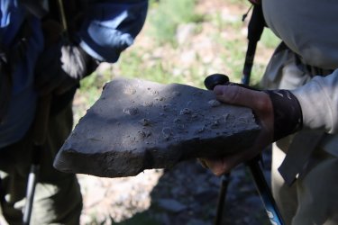
Fossils on the limestone
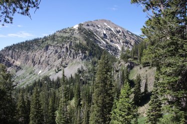
Another perspective on unnamed peak 10,315
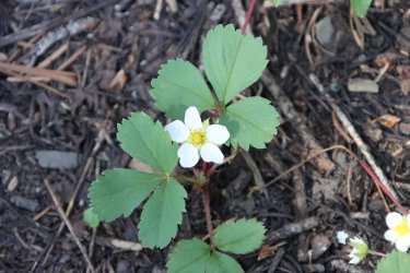
Strawberry
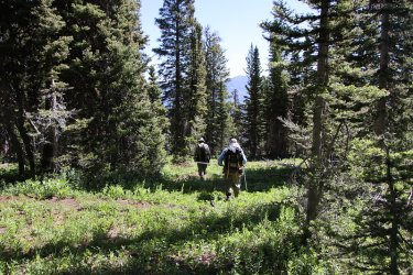
No, not that way!
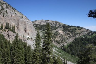
Picked up an elk trail at this point. We are heading down into the valley where North Crow Creek lies.
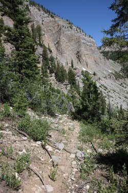
Nasty elk trail
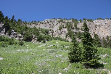
It took us a long time to get down these cliffs
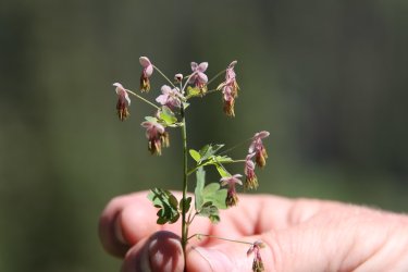
@wsp_scott holds some fragile Fendler's Meadow-rue in his hand.
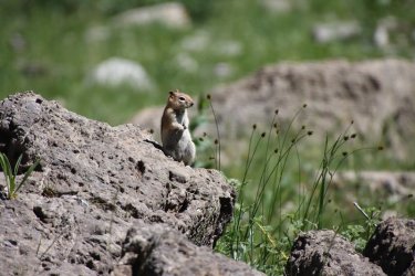
A ground squirrel congratulates us on our decent off the cliffs
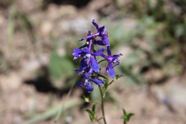
Larkspur was abundant in the valley
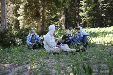
Need some calories for the climb to Crow Creek Lakes
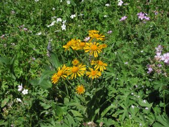
Orange sneezeweed, along with Richard's and sticky geraniums
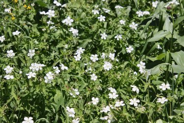
More Richard's geraniums
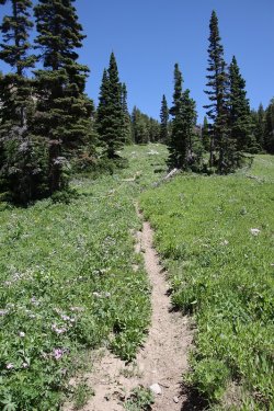
Time for the climb up to the lakes
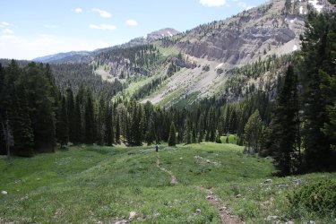
Looking back on the cliffs we came down
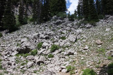
Steep rocky trail heading up to the lakes
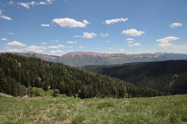
The Wyoming Range
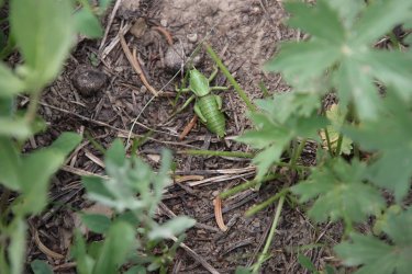
A Mormon cricket
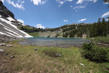
Reaching lower Crow Creek Lake
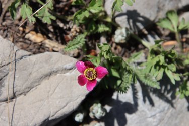
Cutleaf anemone
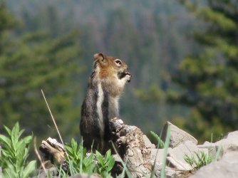
Another ground squirrel congratulates us on reaching the lake
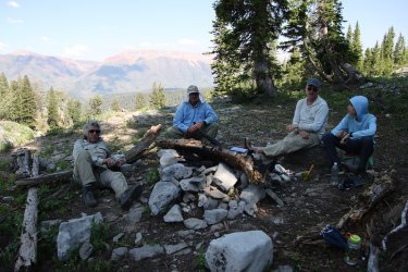
Executive decision to camp at the lake tonight instead of heading on to South Three Forks Lakes, about 2.5 more miles to the north
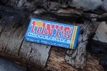
Well that means the celebratory Tony's Chocolonely bar has to be eaten at Crow Creek Lakes instead of South Three Forks Lakes!
This 1/2 pound bar was slowing me down the entire trip.
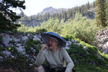
Things might be going downhill fast at this point @Rockskipper !
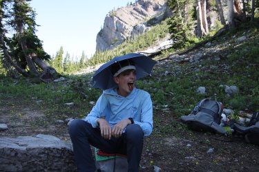
Not a big dark chocolate fan I take it.
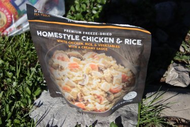
One of my favorites for dinner though.
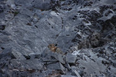
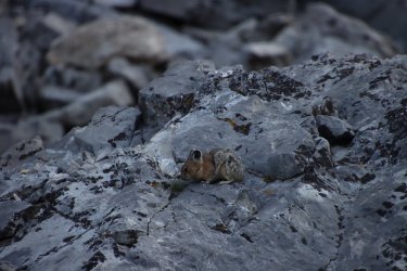
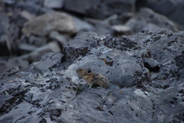
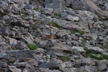
We got to watch numerous pikas scurrying around the rocks above the lake while we ate. Looks like some Parry's primrose above
the pika in the last shot.
Day 4 - Crow Creek Lakes to the Crow Creek Trailhead
Just a hot hike down Crow Creek to the trailhead.
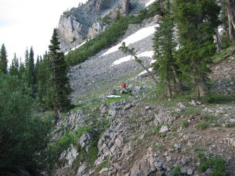
@Chuckwalla had a great campsite for the night
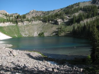
Lower Crow Creek Lake in the morning. For those interested, head straight up the ridge to get to South Three Forks Lakes.
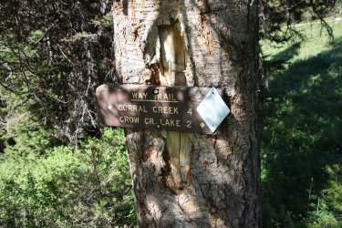
Junction sign
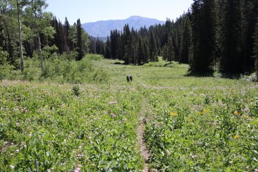
Meadow walking most of the way out from here
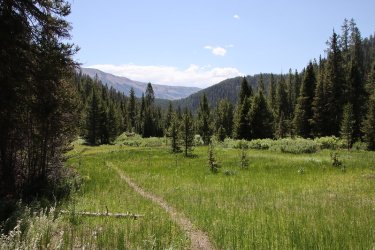
Does it look hot?
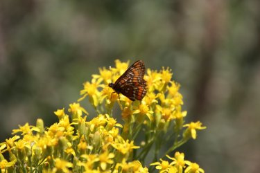
Painted lady on some ragwort
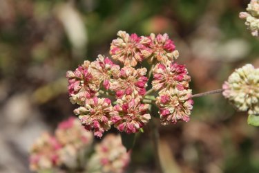
Buckwheat
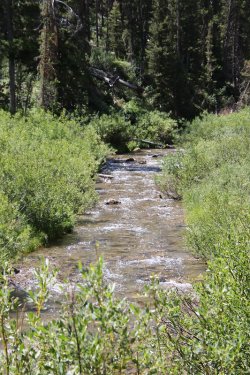
Crow Creek
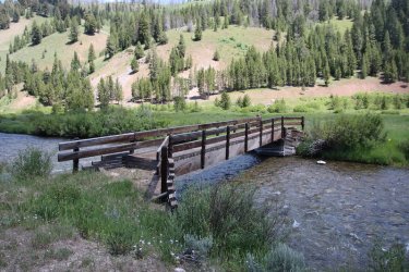
Horse bridge over the Greys River
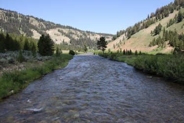
Looking north up the Greys River
At this point, we were hoping to hitch a ride back to @wsp_scott 's vehicle at the starting trailhead. A young man, who had just graduated from the University of Quebec in Canada, having majored in mechanical engineering, pulled up in a Jeep and gave wsp_scott a ride back to his vehicle, but this took about three hours for wsp-scott to get back to us. I decided to walk south along the Forest Service road until he came back because sitting around just made my joints stiffen up.
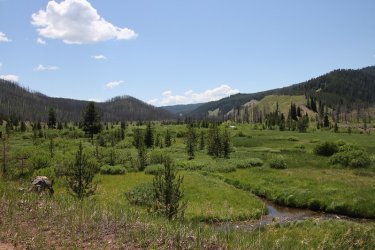
Looking south down the Greys River Valley
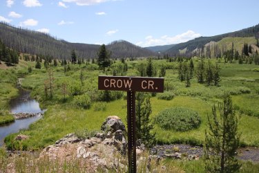
Crow Creek Trailhead
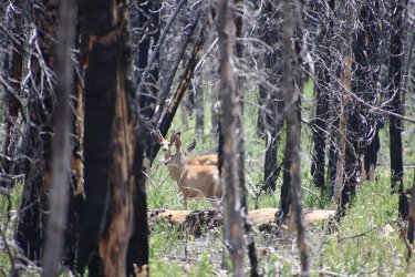
Deer in the burn.
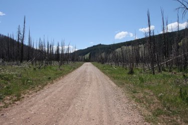
The long road home.
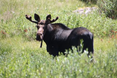
After rounding a bend in the road, I ran into this guy.
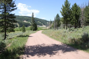
From whence I came
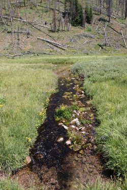
Interesting spring and runoff on the east side of the road
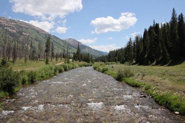
The Greys River once again. I believe that is unnamed peak 10,850 of the Wyoming Range in the distance.
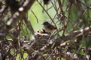
Wsp_scott's son pointed this out (some sort of flycatcher) to us at the spot they waited for wsp-scott to return.
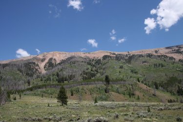
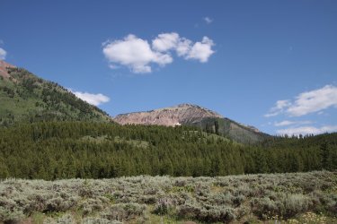
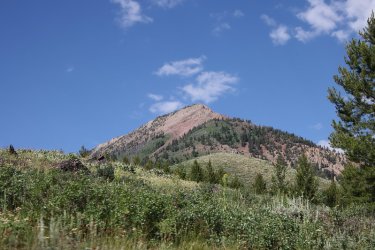
Nice views of the Wyoming Range on our drive back to the Smith's Fork Trailhead
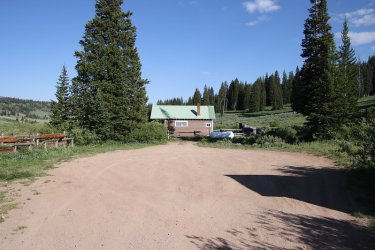
We stopped off at the La Barge Guard Station on our way back to the trailhead
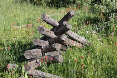
An old fence corner among the paintbrush
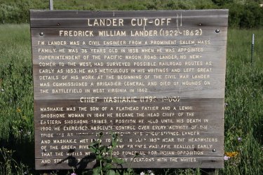
Part of the Lander Cut-off
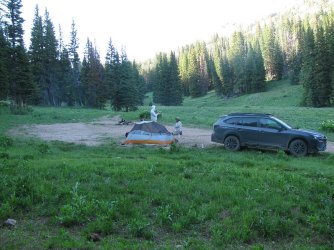
We arrived back at the trailhead too late to go pick up my vehicle, so we camped here for night number four.
Day 5 - Headed back to pick up my vehicle and then lunch in Afton, once again at 225 BBQ
As we were driving back up the Willow Creek Forest Service road to get my Outback, a rancher coming the other way stopped us and told us that they were five semis full of sheep that they were going to unload at the North Willow Creek Trailhead where my car was parked. We drove on and at the trailhead there were a couple of trucks and horse trailers parked by my Subaru. A cowboy who was waiting for the sheep told us that he thought we had enough time to get out of the canyon before the semis headed up, so we booked it back down the dirt road. When we arrived at the pavement sure enough, there were three semis lined up with sheep ready to take them up to the trailhead. Good fortune for us because we could have been stuck there for the day waiting for them to unload and herd the sheep up the trail. So then it was on to Afton for lunch.
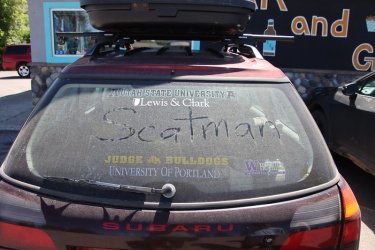
Dusty times driving the dirt roads
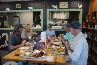
A well deserved lunch
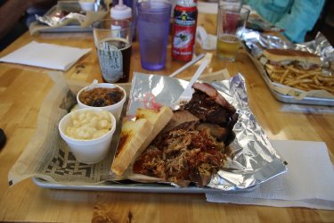
The three meat combo plate (pulled pork, brisket and ribs) with smoked mac-n-cheese and smoked beans as sides
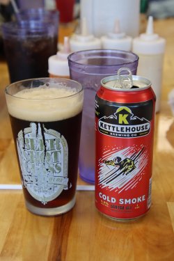
And a Cold Smoke to top it all off.
Well, that about wrap things up on this one. I big thanks to all my backpacking companions on this one. It always fun to spend time in the backcountry with them. And it was nice to meet @wsp_scott 's son. Hopefully in the future he'll be willing to join us on another adventure. Maybe returning to finish off the section that we didn't complete?
While I liked the Salt Rivers, I was surprised that we saw no large animals until we dropped down to the Greys River. I was sure that we'd see some elk or deer back there. We saw plenty of signs, but no animals. I would guess that the range probably dries up considerably in August and September, so Scat, who likes his water, was glad we did this in July so that I could stay hydrated. Definitely worth your time to explore the range for anyone who might have the itch.
The End.
Having never been in the Salt Rivers before, I wasn't sure what to expect, but I found that I was pleasantly surprised. The scenery was spectacular, and we only saw one other person the entire time that we were in the backcountry. The range is located on the east side of Star Valley, and I'd passed the range many times on my way to and from Yellowstone or the Teton Wilderness. Of course, going in July means plenty of wildflowers, and plenty of mosquitoes too. The wildflowers didn't disappoint, and I bet I had a couple thousand mosquito bites when it was all over - my body was covered with them.
Here are some shots of our trip:
Day 1 - Smith's Fork Trailhead to a tributary of Corral Creek

Overview map

Light blue line was our original route before the change of plans


The drive up was through Evanston and Cokeville. Some of the scenery along the way.

View from Salt River Pass on Highway 89

Lander Cut-off sign at the pass

Heading up the Forest Service road just east of Turnerville

Arriving at the North Fork Willow Trailhead.

The Sube looks lonely. Bob would arrive in a few minutes to pick me up and the whole group would meet at 225 BBQ for lunch in
Afton.

Lunch time!

Best pulled pork that I have ever had! And the smoked mac-n-cheese wasn't bad either.

Smith's Fork Trailhead shenanigans.

Our group which included myself, @Bob, @Chuckwalla, @wsp_scott and wsp_scott's son.

Goosefoot violets were the dominate wildflower of day 1 as they were everywhere

Geraniums were plentiful too

Smith's Fork

Cinquefoil

Looking back after crossing Smith's Fork

Violets everywhere!

Scenery starting to open up on our way to Sheep Pass

Hilly terrain

Phlox

Bob, pondering the moment

Approaching Sheep Pass. Still some snow fields this time of year.

View north from Snow Pass

View south from Snow Pass

Break on the pass

And we are off

Spring beauties

Spring Creek

Shooting star

Trail junction, or so it seemed.

Wyoming Range in the distance

Unnamed peak 10,682

View back to Sheep Pass

Trailing the pack

Passing by a tarn

Buttercups
Day 2 - Upper tributary of Corral Creek to a tarn just off South Crow Creek

Breakfast


Views from our first night's campsite in the morning

White Marsh Marigold


Views from the trail

Crossing a stream

Looking down on a tributary of Corral Creek. Paintbrush was plentiful on the slopes.

Horsemint

Lewis Flax

Leafy Jacob's ladder

Bottoming out before climbing up to Corral Lake, Corral Creek is down there somewhere.

Moth on some lupine

Beautiful country


Corral Creek

Ridge to the west of us

179 please.


Climbing now

Falls on Corral Creek

Mountain dandelion

Falls on tributary of Corral Creek

Stickseed

Views heading up to the lake

More falls

Looking down tributary of Corral Creek

Corral Lake and surroundings

Travis, the only other person that we saw on this trip, using the counterbalance method of backpacking. Hails from Logan, Utah.

Now this is a @Bob horse trail! Leaving Corral Lake.

Had to dig in on this one.

Looking back down at Corral Lake

I'm guessing that sometime in August this snow will be gone

Bob, on Bob's horse trail


View north from the pass above Corral Lake

Giving it the thumbs up

Bob's giving it two thumbs up.

Ridge stretching out to the north

Boisduval's Blue

Unnamed Peak 10,689

Wyoming Range way off in the distance

Negotiating a cliff band as we drop down to another upper tributary of Corral Creek

Coming off the cliff band

View down the tributary towards Corral Creek

Trying to find the old trail that goes up and over the ridge. The only way is up.

Northern sweetvetch

Arriving at the top of the ridge with Mount Fitzpatrick ahead

Looking down the South Crow Creek Drainage with the Wyoming Range to the east

Unnamed Peak 10,315

Classic @Bob amidst the buttercups

We'll be making camp down near the tarn

But first another cliff band to negotiate. @wsp_scott above giving it a go.

Gives one an idea of the mosquito issue on this trip

Out tarn for the night

Camp for night 2
Day 3 - Mountain tarn in South Crow Creek Drainage to Crow Creek Lakes.
Day three sort of turned out to be an ass-kicker for our group which caused us to make a change of plans at Crow Creek Lakes. Most of the day was off-trail.

Unnamed Peak 10,689 in the morning sun

View towards Mount Fitzpatrick

And we are off

Heart-leafed arnica

Another cliff band to go down

Fossils on the limestone

Another perspective on unnamed peak 10,315

Strawberry

No, not that way!

Picked up an elk trail at this point. We are heading down into the valley where North Crow Creek lies.

Nasty elk trail

It took us a long time to get down these cliffs

@wsp_scott holds some fragile Fendler's Meadow-rue in his hand.

A ground squirrel congratulates us on our decent off the cliffs

Larkspur was abundant in the valley

Need some calories for the climb to Crow Creek Lakes

Orange sneezeweed, along with Richard's and sticky geraniums

More Richard's geraniums

Time for the climb up to the lakes

Looking back on the cliffs we came down

Steep rocky trail heading up to the lakes

The Wyoming Range

A Mormon cricket

Reaching lower Crow Creek Lake

Cutleaf anemone

Another ground squirrel congratulates us on reaching the lake

Executive decision to camp at the lake tonight instead of heading on to South Three Forks Lakes, about 2.5 more miles to the north

Well that means the celebratory Tony's Chocolonely bar has to be eaten at Crow Creek Lakes instead of South Three Forks Lakes!
This 1/2 pound bar was slowing me down the entire trip.

Things might be going downhill fast at this point @Rockskipper !

Not a big dark chocolate fan I take it.

One of my favorites for dinner though.


We got to watch numerous pikas scurrying around the rocks above the lake while we ate. Looks like some Parry's primrose above
the pika in the last shot.
Day 4 - Crow Creek Lakes to the Crow Creek Trailhead
Just a hot hike down Crow Creek to the trailhead.

@Chuckwalla had a great campsite for the night

Lower Crow Creek Lake in the morning. For those interested, head straight up the ridge to get to South Three Forks Lakes.

Junction sign

Meadow walking most of the way out from here

Does it look hot?


Painted lady on some ragwort

Buckwheat

Crow Creek

Horse bridge over the Greys River

Looking north up the Greys River
At this point, we were hoping to hitch a ride back to @wsp_scott 's vehicle at the starting trailhead. A young man, who had just graduated from the University of Quebec in Canada, having majored in mechanical engineering, pulled up in a Jeep and gave wsp_scott a ride back to his vehicle, but this took about three hours for wsp-scott to get back to us. I decided to walk south along the Forest Service road until he came back because sitting around just made my joints stiffen up.

Looking south down the Greys River Valley

Crow Creek Trailhead

Deer in the burn.

The long road home.

After rounding a bend in the road, I ran into this guy.

From whence I came

Interesting spring and runoff on the east side of the road

The Greys River once again. I believe that is unnamed peak 10,850 of the Wyoming Range in the distance.

Wsp_scott's son pointed this out (some sort of flycatcher) to us at the spot they waited for wsp-scott to return.


Nice views of the Wyoming Range on our drive back to the Smith's Fork Trailhead

We stopped off at the La Barge Guard Station on our way back to the trailhead

An old fence corner among the paintbrush

Part of the Lander Cut-off

We arrived back at the trailhead too late to go pick up my vehicle, so we camped here for night number four.
Day 5 - Headed back to pick up my vehicle and then lunch in Afton, once again at 225 BBQ
As we were driving back up the Willow Creek Forest Service road to get my Outback, a rancher coming the other way stopped us and told us that they were five semis full of sheep that they were going to unload at the North Willow Creek Trailhead where my car was parked. We drove on and at the trailhead there were a couple of trucks and horse trailers parked by my Subaru. A cowboy who was waiting for the sheep told us that he thought we had enough time to get out of the canyon before the semis headed up, so we booked it back down the dirt road. When we arrived at the pavement sure enough, there were three semis lined up with sheep ready to take them up to the trailhead. Good fortune for us because we could have been stuck there for the day waiting for them to unload and herd the sheep up the trail. So then it was on to Afton for lunch.

Dusty times driving the dirt roads

A well deserved lunch

The three meat combo plate (pulled pork, brisket and ribs) with smoked mac-n-cheese and smoked beans as sides

And a Cold Smoke to top it all off.
Well, that about wrap things up on this one. I big thanks to all my backpacking companions on this one. It always fun to spend time in the backcountry with them. And it was nice to meet @wsp_scott 's son. Hopefully in the future he'll be willing to join us on another adventure. Maybe returning to finish off the section that we didn't complete?
While I liked the Salt Rivers, I was surprised that we saw no large animals until we dropped down to the Greys River. I was sure that we'd see some elk or deer back there. We saw plenty of signs, but no animals. I would guess that the range probably dries up considerably in August and September, so Scat, who likes his water, was glad we did this in July so that I could stay hydrated. Definitely worth your time to explore the range for anyone who might have the itch.
The End.
Last edited:

