fossana
Member
- Joined
- Jan 11, 2018
- Messages
- 1,038
Intro
The Ruby Crest Trail has been on my backlog for a few years. Logistically, it's somewhat of pain since the Ruby Mountains aren't close to any major city and the point-to-point trail requires a shuttle (unless you're willing to do a 70 mile out-and-back). I wasn't sure it would happen this year with the recent Corta fire shutting down the southern access point. Fortunately, the fire was contained quickly by wildland fire standards (thanks as always wildland fire fighters). Coming off my recent Sierra trip, it seemed like a good time to try to do it over a weekend.
I prefer to get the major climbing out of the way first, then have the hotter lower elevation part as a downhill, so I planned to hike N to S. I went back and forth about whether to overnight it or do it a single push, but after rolling into the Harrison Pass trailhead at midnight, I felt like it was unrealistic that I would have the energy to crank it out in a push on a few hours of sleep, then be excited about driving the 7+ hours home (with shuttle vehicle pickup) after trying to nap for a few hours in a hot vehicle. This turned out to be a wise option since there was some sort of relay race going on that night and there were support vehicle driving up and down Harrison Pass while I was attempting to sleep.
Logistics
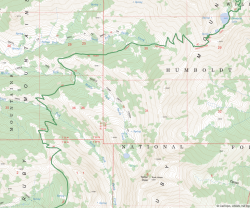
Start/end: Lamoille Canyon trailhead / Harrison Pass trailhead (2WD trailhead adds ~2.5 miles) or vice versa
Shuttle logistics: ~1.5 hours between Harrison Pass 2WD trailhead and the Lamoille Canyon trailhead. Local private shuttle services available (e.g. this one).
Mileage: ~35 miles (2WD trailhead, -2.5 for the 4WD one)
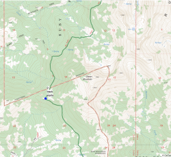
Elevation gain: ~8400 feet (range: 7245' to 10,893')
Navigation: topo map at a minimum
Filterable water: many creeks and lakes (some with cattle; trail also frequented by horses)
Backcountry permits (overnight trips): not required
Dogs: allowed
Nearest town/gas: Spring Creek, NV / Elko, NV
References: Roadtrip Ryan, Humboldt-Toiyabe Elko Ranger Station
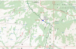
Approximate Route
north to south (caltopo)
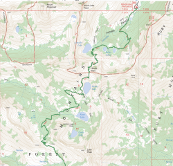
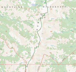
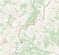
Trip Report
Lamoille to Liberty Lake
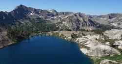
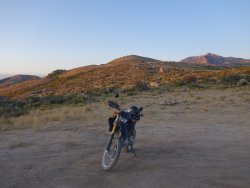
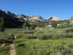
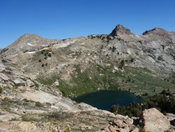
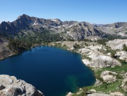
After putting together my overnight kit, in the morning I rode my dual sport to Lamoille Canyon trailhead, the northern terminus of the hike. Last night's relay race had reached the canyon. There were also a surprising number of people on the trail heading up and down Liberty Pass for 8am. While the black flies and gnats were annoying, they didn't linger once you were moving. The ascent from Lamoille Lake to Liberty Pass and spectacular Liberty Lake went fairly quickly. Fortunately, most dayhikers turned around at the pass and most overnighters didn't go much farther than Liberty Lake.
Liberty Lake to Lake Peak Saddle
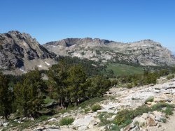
After Liberty Lake the trail dropped down into the Kleckner Creek drainage before climbing again up to the Lake Peak Saddle. The undulating topology would be repeated many times over the length of the trail.
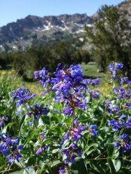
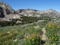
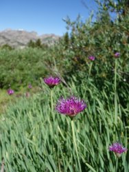
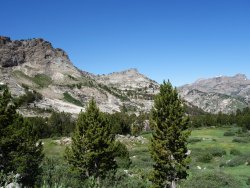
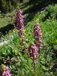
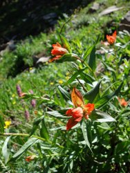
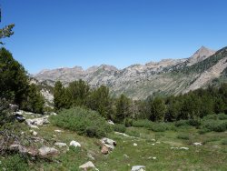
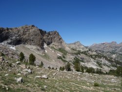
Lake Peak Saddle to Crest Traverse
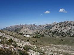
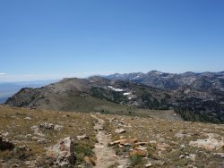
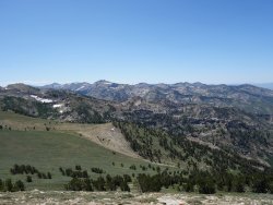
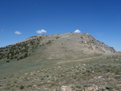
At the saddle the high point of the trail was visible, Wines Peak. On the unprotected ridgeline the wind picked up. At times the gusts made me slightly off-balance. After Wines Peak (10,893') the trail follows the crest up and over several 10,600' peaks and one at 10,200. Unfortunately, there weren't any mountain goats along the way (at least the shaggy white kind). I ran into some other RCT hikes and a pair of ultrarunners along this section.
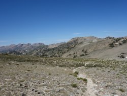
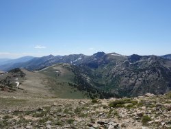
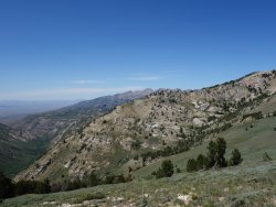
Eastern Traverse around Overland Creek Drainage
There was a break from the climbing, and the trail dropped down and contoured along the east side of the crest. This section provided the best perspective of the jagged peaks that one sees from the roads surrounding the range. Unfortunately, the peaks were backlit at this time so no exciting photos. Along this section I ran into 2 bow hunters from NorCal. One of them mentioned that I would likely run into their goats farther along the trail. I thought they were joking, but then there they were, a herd of pack goats (a.k.a. a backcountry petting zoo). The hunters eventually caught up and mentioned that in past years they had to go quite aways out of their way for water; not this year. One of them advised me that I should have a dog with me on solo adventures (at least they didn't say gun).
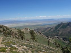
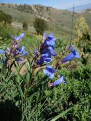
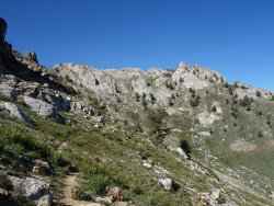
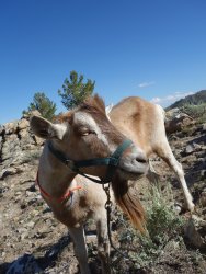
Overland Lake
To keep on my Sunday driving schedule, I had a goal of hitting at least 20 miles the first day, which meant I had another 10K' pass after Overland Lake. I also wanted to avoid the windy ridgelines. Overland was obviously a popular camping site and people had left trash in the old cabin and fire pit. I was feeling a bit tired as I slogged up the final climb to the pass.
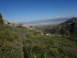
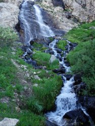
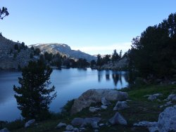
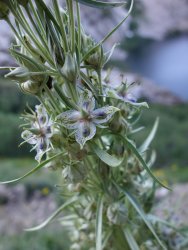
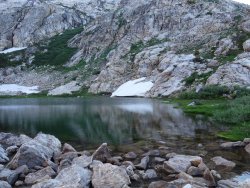
Smith Creek Drainages
On the other side of the pass the landscape changed dramatically, with meadow, aspen groves...and cows. I later learned that cattle are allowed in some Wilderness Areas, something I found rather disappointing. At 21 miles it was nearing dusk, so I scouted for a flattish cow pie free spot to pitch my tent. This was probably good training for the Pyrenees, which are likewise frequented by bovines. Having grown up with cows I don't mind them so much (just not in Wilderness).
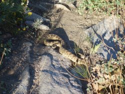
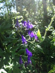
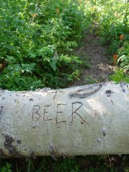
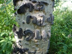
In the morning, lest my coffee not be enough, I encountered a fat rattler sunning across the trail. After letting him/her slink off into the bushes I continued through the aspen tunnels and along sage brushed slopes in and out of the Smith Creek drainages. The last one (S Fork) had better camping than where I stayed, although according to Roadtrip Ryan, it also gets grazed some years. Aspen graffiti appeared to be a popular activity for past visitors, including a number of S American shepherds.
Wilderness Zone Exit to Harrison Pass
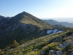
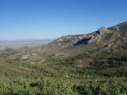
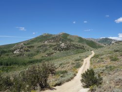
After the S Fork drainage the trail climbed over one final 9500' pass before a final contouring descent onto the double-track that leads to Harrison Pass. The foliage made a nice backdrop for the various rock formations.
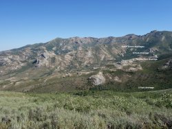
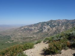
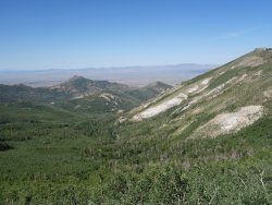
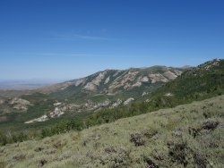
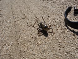
Finally I hit the edge of the wilderness and the double-track. The opportunities for shade and water lessened. One stretch of dirt road contained a number of giant Mormon crickets, technically a type of katydid according to the Oracle. That's quite some ovipositor.
I passed the 4WD trailhead, wishing that I had brought my other vehicle. After another few hot miles I made it back to my vehicle and a still mildly cold Ramune melon soda from the sushi burrito place.
Back at Lamoille Canyon I loaded up my motorcycle and overheard one of a party of three backpackers complaining about how long the climb up to Liberty Pass was.
Last edited:
