- Joined
- Dec 23, 2013
- Messages
- 4,295
I wanted to name this post "Broads Fork Twin Peaks - The Robinson's Variant", but since we didn't make it up to the peaks, I settled for Robinson's Couloir instead. My daughter and I arrived at the Broads Fork Trailhead at 6:10 am to attempt to make it to the top of Broads Fork Twin Peaks. The temperature at the trailhead was a balmy 77 degrees and the parking lot was already full, so we had to park along the S curve.
As we made our way up the trail, I could tell that my daughter was struggling a bit to keep up, so I took her four water bottles and added them to my pack to help her out. I told her we would hike up to where the Broads Fork Valley opens up and we would see how she felt then. Along the trail, the wildflowers were on full display. When we finally reached the big meadow, we stopped for a break and checked out the draw we were going to be heading up to gain the ridge to the north of the eastern Twin Peaks summit. After resting for about 15 minutes I asked my daughter if she thought she could make it to the ridge and she said she thought she could.
So we began our hike up what I'm calling the Robinson's Couloir. This is a steep ascent to gain the low point along the ridge at the top of the draw. The terrain consists of loose talus and scree, along with slabs of fairly slick rock. I wasn't sure what line we should take, but we started out heading up the middle before eventually peeling off to our right. As we neared the saddle, the going got slower due to the steepness of the terrain, and just the heat of the day.
When we finally reached the saddle, my daughter informed me that she was out of gas. So instead of scrambling along the ridge to the south and up to the eastern peak, we decide to take a long lunch before heading back down.
When we returned home the thermometer at my house read 101 F.
Here are some shots of our hike.
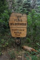
Wilderness boundary
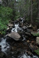
Broads Fork
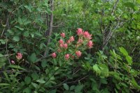
Indian Paintbrush
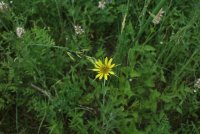
Yellow Salsify
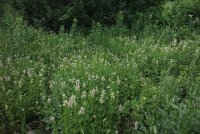
Horsemint along the trail
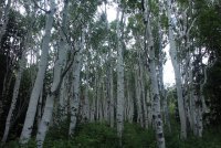
Nice grove of aspen the trail goes through
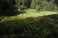
Meadow of Showy Goldeneye
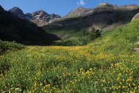
The big meadow of Broads Fork with Dromedary, Sunrise and the easterm Twin Peak Peaks visible. You can also make out the small saddle, along the ridge at the upper right hand side of the image, that we will be shooting for to gain the ridge.
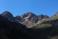
Close up of Dromedary and Sunrise Peaks
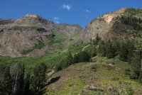
Looking up Robinson's Couloir
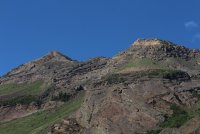
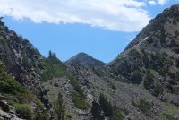
Close up of the eastern peak of Twin Peaks and the ridge we hoped to scramble across.
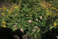
Some wild rose among the Showy Goldeneye
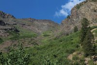
Looking up the draw - our saddle is at the upper left of the image.
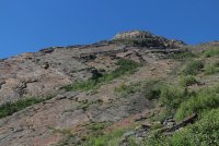
Some of the rock slabs like the ones we would encounter further on up
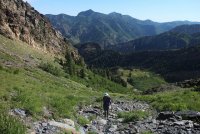
Katie making her way up the talus
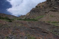
Encountering some rock slabs at this point
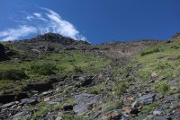
Is that low point getting any closer?
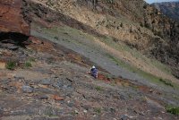
What now?
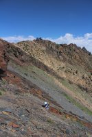
Getting pretty steep and this point.
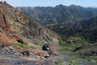
A good look down into the meadow
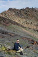
A quick scat break
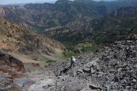
Katie, holding on for dear life.
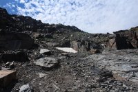
Almost to the ridge
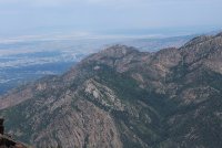
Mount Olympus to the north
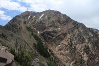
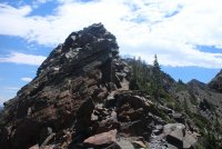
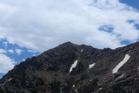
The north side of Broads Fork Twin Peaks
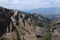
Looking down Deaf Smith Canyon
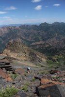
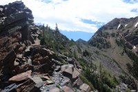
Almost there! Mount Raymond and Gobblers Knob can be seen along the Millcreek Ridge
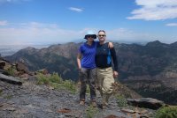
On the low point of the ridge with Wildcat Ridge, from Mount Olympus to Mount Raymond behind us.
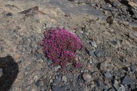
Hey, @xjblue, or anyone else, do you know what flower this is? Just below 10,000 ft on rocky, scree terrain
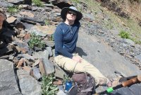
Chillin' on the way down
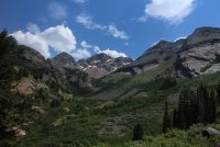
A look up Broads Fork in the afternoon
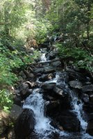
Broads Fork
The end.
As we made our way up the trail, I could tell that my daughter was struggling a bit to keep up, so I took her four water bottles and added them to my pack to help her out. I told her we would hike up to where the Broads Fork Valley opens up and we would see how she felt then. Along the trail, the wildflowers were on full display. When we finally reached the big meadow, we stopped for a break and checked out the draw we were going to be heading up to gain the ridge to the north of the eastern Twin Peaks summit. After resting for about 15 minutes I asked my daughter if she thought she could make it to the ridge and she said she thought she could.
So we began our hike up what I'm calling the Robinson's Couloir. This is a steep ascent to gain the low point along the ridge at the top of the draw. The terrain consists of loose talus and scree, along with slabs of fairly slick rock. I wasn't sure what line we should take, but we started out heading up the middle before eventually peeling off to our right. As we neared the saddle, the going got slower due to the steepness of the terrain, and just the heat of the day.
When we finally reached the saddle, my daughter informed me that she was out of gas. So instead of scrambling along the ridge to the south and up to the eastern peak, we decide to take a long lunch before heading back down.
When we returned home the thermometer at my house read 101 F.
Here are some shots of our hike.

Wilderness boundary

Broads Fork

Indian Paintbrush

Yellow Salsify

Horsemint along the trail

Nice grove of aspen the trail goes through

Meadow of Showy Goldeneye

The big meadow of Broads Fork with Dromedary, Sunrise and the easterm Twin Peak Peaks visible. You can also make out the small saddle, along the ridge at the upper right hand side of the image, that we will be shooting for to gain the ridge.

Close up of Dromedary and Sunrise Peaks

Looking up Robinson's Couloir

Close up of the eastern peak of Twin Peaks and the ridge we hoped to scramble across.

Some wild rose among the Showy Goldeneye

Looking up the draw - our saddle is at the upper left of the image.

Some of the rock slabs like the ones we would encounter further on up

Katie making her way up the talus

Encountering some rock slabs at this point

Is that low point getting any closer?

What now?

Getting pretty steep and this point.

A good look down into the meadow

A quick scat break

Katie, holding on for dear life.

Almost to the ridge

Mount Olympus to the north

The north side of Broads Fork Twin Peaks

Looking down Deaf Smith Canyon

Almost there! Mount Raymond and Gobblers Knob can be seen along the Millcreek Ridge

On the low point of the ridge with Wildcat Ridge, from Mount Olympus to Mount Raymond behind us.

Hey, @xjblue, or anyone else, do you know what flower this is? Just below 10,000 ft on rocky, scree terrain

Chillin' on the way down

A look up Broads Fork in the afternoon

Broads Fork
The end.
Last edited:

