- Joined
- Dec 23, 2013
- Messages
- 4,116
I've been heading up to the Uintas for a weekend over the summer for the past thirty three years. On these trips, I usually do a day hike on the Saturday, and quite frequently I have hiked to the top of Bald Mountain. While on top of Bald Mountain, I have always looked over to the northwest at Reid's Peak and wondered if anyone had climbed it. So two years ago, back in 2021, Sheila and I headed up Bald Mountain thinking that we might make our way over to Reid's. Once on top though, Sheila got cold feet looking down the slope of Bald towards the saddle between Bald and Reid's, so we instead returned to the trailhead.
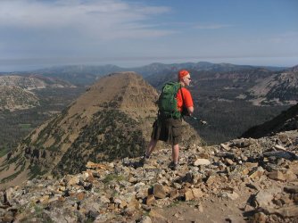
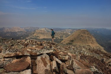
Reid's Peak over my left shoulder, and to the right of Sheila, back in 2021
Then in 2022, it rained on the day I was doing my day hike, and I didn't feel confident enough to tackle Reid's, so I did a rainy, foggy Bald Mountain again instead.
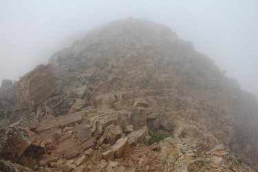
A cloudy/foggy Bald Mountain in 2022
So maybe in 2023 the third time will be the charm?
We stayed at Sulphur Campground for the sixth year in a row. Before that, we tried to mix things up a bit and stay at different campgrounds, but for some reason we have stuck with Sulphur since 2017, and that year my family hiked to the summit of Bald Mountain (of course we did).
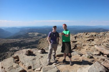
Check out this fine looking gentleman (aka @Jackson) that we met at the summit of Bald Mountain back in 2017. Man, how time
flies!
Pre-hike photos.
We drove up to Sulphur Campground Friday afternoon and the campground and vicinity were full of wildflowers that I'd like to share.
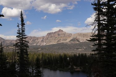
Hayden Peak, taken form the Hayden Peak overlook. The sun angle was just perfect for this shot
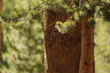
Hummingbird at camp
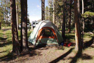
The Scat setup at site #19
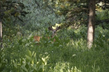
A visitor on the periphery of the campground
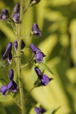
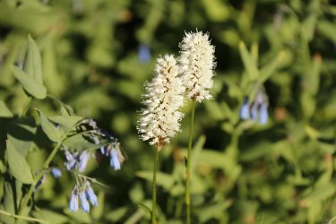
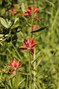
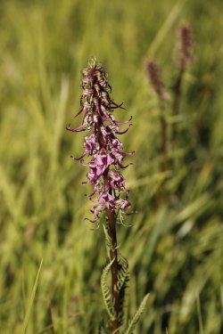
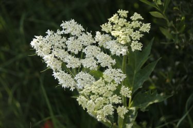
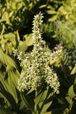
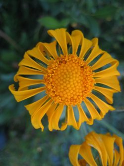
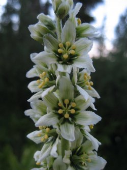
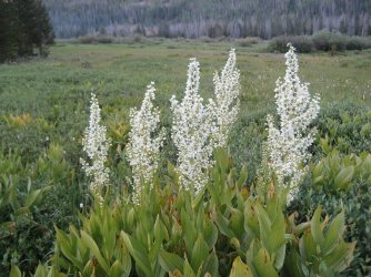
Wildflowers around camp
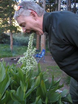
Please do not eat the plants
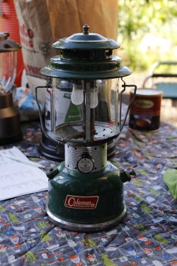
This bad boy has been working for over 50 years.
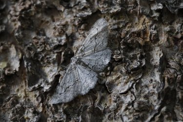
Nice camouflage
Day of the hike shots:
In order to keep up with @TractorDoc's training routine, and I mean the guy is like a Navy Seal with his dedication, I had to attempt Reid's Peak. I couldn't get anyone else to join me, so I was on my own.
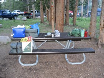
I had to unload the Subaru for those staying at camp. The important stuff is on the right side of the table.
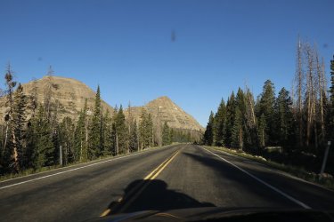
Reid's Peak is on the right, with Bald Mountain on the left as I am driving to the trailhead
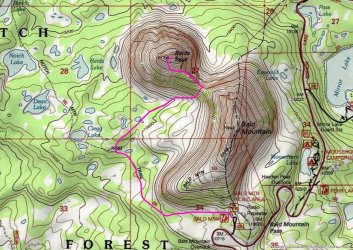
Overview map of my day hike
So I had planned to start form the Bald Mountain Trailhead and take the Notch Mountain Trail to head around Bald Mountain. At some point, I was then going to leave the trail and head off-trail and work my way up to the saddle between Bald Mountain and Reid's Peak. Once there, I would work my way up the ridgeline of Reid's toward the summit. I had taken a waypoint of where I thought that the best jump off point from the trail was, but of course Mr. Genius left the GPS unit back in the tent at the campground and I didn't realize it until I was almost at the trailhead. So I was on my own for figuring out when to head cross-country.
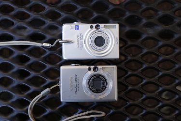
Okay, stop the presses! Before I go any further, I should probably tell everyone which cameras I took on this hike.

Now back to the story.
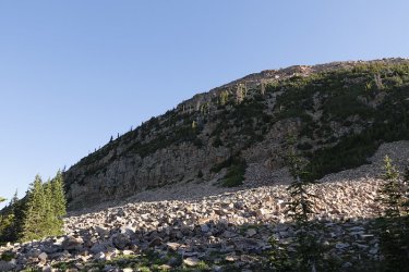
I left the trailhead just after 7:30 AM, and began working my way around Bald Mountain
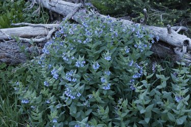
Bluebells were abundant along my route
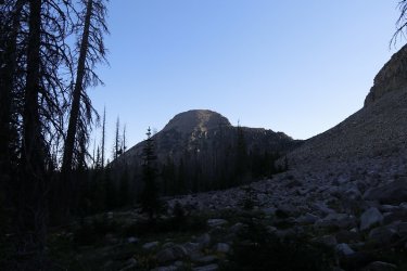
First look at Reid's Peak in the morning light as I am rounding Bald Mountain
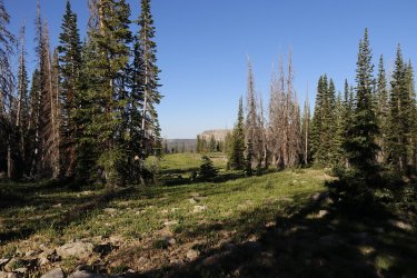
A meadow corridor looking towards Haystack Mountain
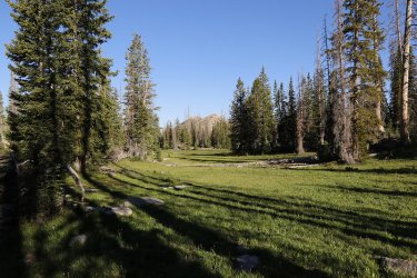
Another view from the Notch Mountain Trail
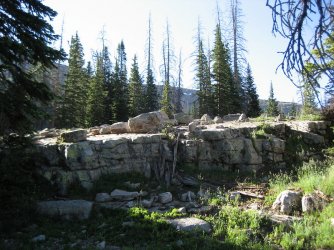
Heading off trail towards the drainage that leads to the saddle
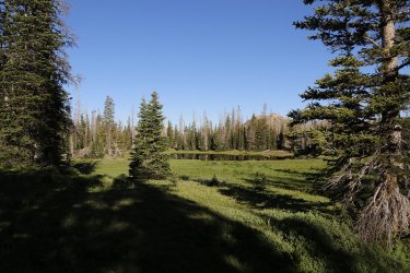
Passing by and unnamed pond. Mosquitoes were becoming quite a nuisance at this point.
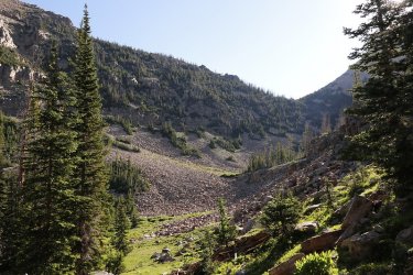
View up to the saddle
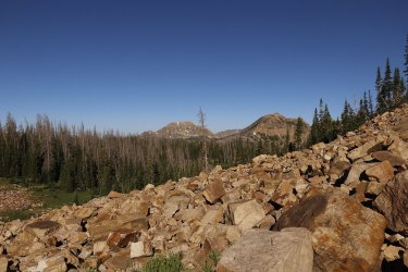
Rock hopping now, and beginning to get some views to the west
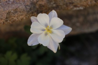
Always love to run into columbine on my hikes
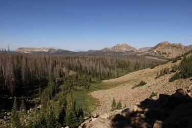
As I gain elevation, the views are getting better - Haystack Mountain on the left to Notch Mountain on the right, and Mount
Watson in between.
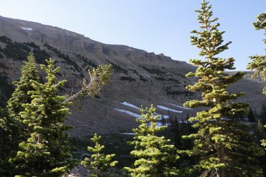
Still some snow on the west side of Bald Mountain
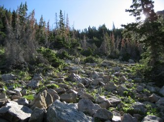
Making my way up to the saddle. There was a small cliff band in the trees that I found a chute that goats had used to scramble up
it.
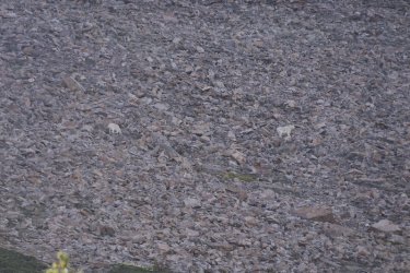
Just before reaching the saddle, I saw these two goats on the slope of Bald Mountain. I almost thought I could see @Bob hanging
out with them up there.
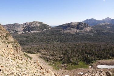
View from the saddle
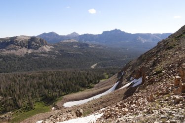
View from the saddle towards Hayden Peak
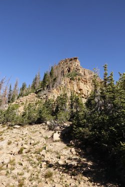
Looking up at the ridgeline of Reid's Peak from the saddle
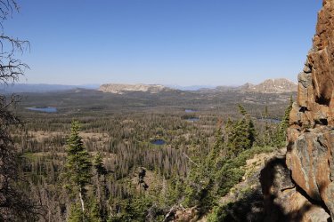
Hugging a cliff band on Reid's, looking towards Haystack Mountain with some of the lakes below coming into view
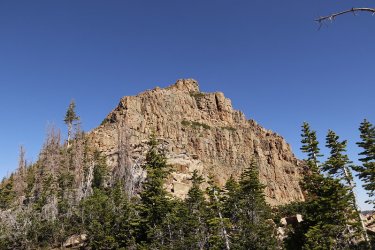
I'm guessing that that is the summit above?
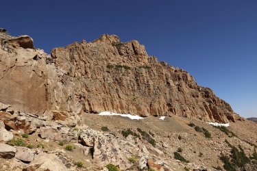
Still working my way up the ridge
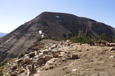
A look back at Bald Mountain
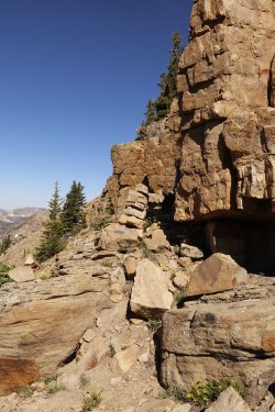
A cairn ahead that I did not knock down.
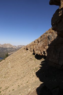
I traversed beneath this cliff band until I reached the steep scree that I would head up
to get to the summit
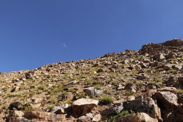
Getting really steep at this point. I tried to choose the path of least resistance at this point. I'm not sure how successful I was.
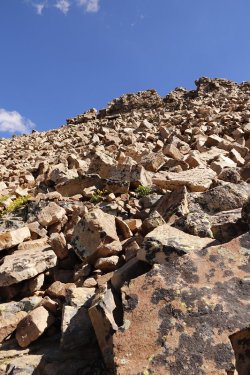
Damn near straight up at this point, at least if felt that way
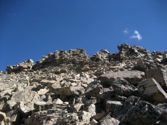
I took the chute on the far left to scramble to the summit
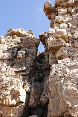
A chute to the summit
Views from the summit:
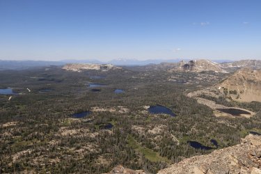
View to the southwest towards Haystack Mountain. Lakes in the shot include Reids Lake. Notch Lake, Dean Lake, Clegg Lake, Star
Lake, Wall Lake, Trail Lake, Washington Lake. I'm probably missing a few of them. @Ugly help!
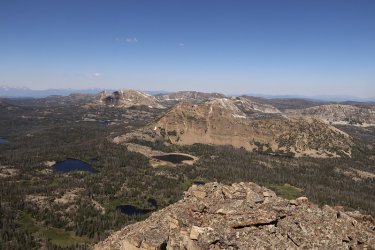
View to the west towards Notch Mountain
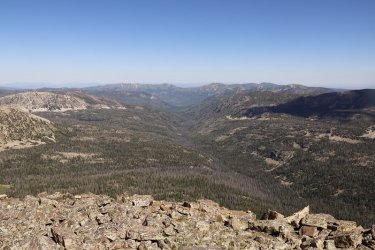
View to the northwest and the Weber River Drainage
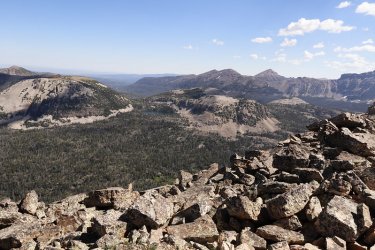
View to the northeast and Mount Marsell and Kamas Lake
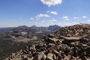
View slightly northeast towards Hayden Peak. On the far right of this shot is the actual high point of Reid's Peak
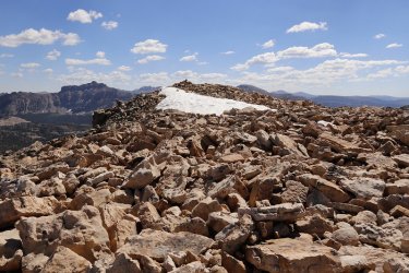
The summit, just across the small snow field
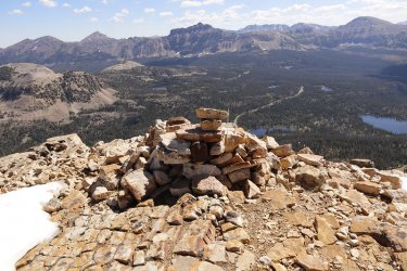
Somebody hauled a mailbox all the way up here
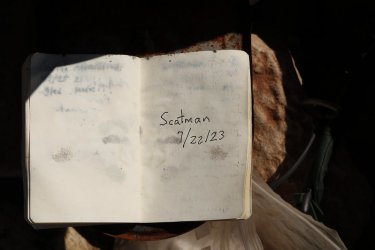
I signed the register. I was the first person to summit in 2023, at least according to the register. And only a handful of people had
summited in 2022.
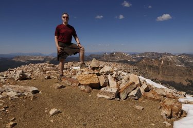
Summit shot
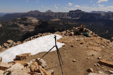
Tripod position
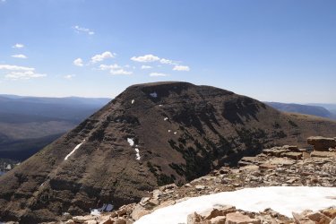
View of Bald Mountain from the summit of Reid's Peak
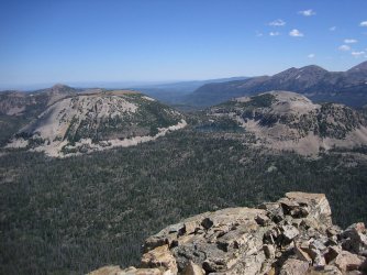
Another look at Mount Marsell and Unnamed Peak 11,113 along with Kamas Lake
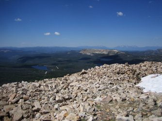
Lost Lake below
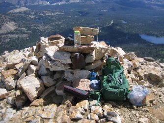
The essential gear
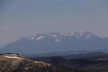
Zoomed in on Mount Timpanogos
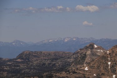
Zoomed in on the Lone Peak Wilderness
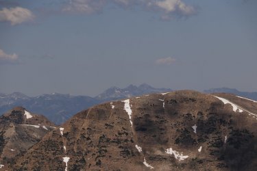
Zoomed in on the Twin Peaks Wilderness, with the Mount Olympus Wilderness in the distance on the far right of the image
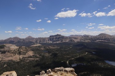
Another shot of Hayden as the sun angle improves after my lunch
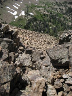
Down the chute as they say as I begin to head off the summit
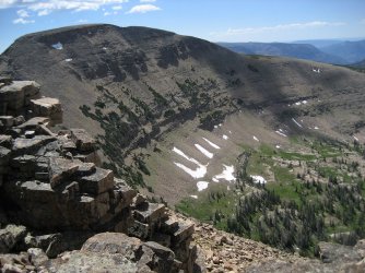
Better sun angle on the west side of Bald Mountain too.
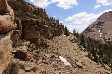
I started to traverse along this cliff band on my way down, but I realized it was the wrong band, so I had to backtrack and drop
down to the next band.
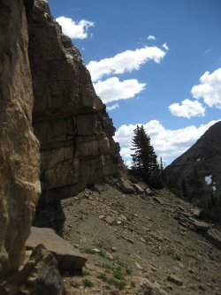
This is the right one.
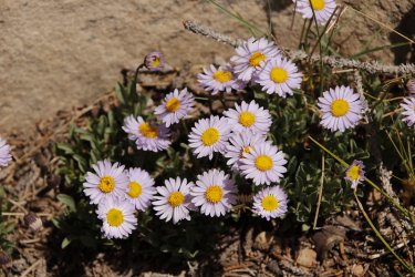
Fleabane
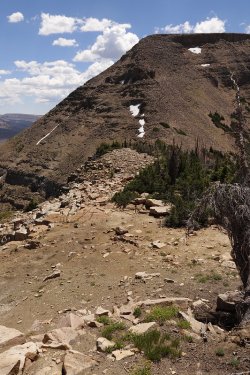
Working my way back down the ridge towards the saddle
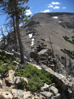
What the southeast ridge looks like, some scrambling required.
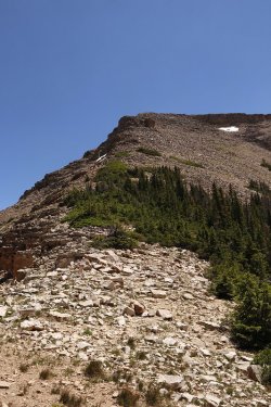
Back on the saddle and looking up at the Bald Mountain ridgeline. I gave some thought
to heading up it and taking the Bald Mountain Trail back to the trailhead, but I didn't
know how long it would take me to make the climb and I had to get back to camp to
start cooking, so I backtracked the way I had come instead.
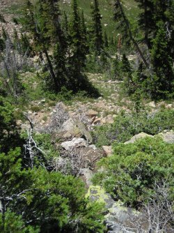
This is the goat trail through the small cliff band that I spoke of earlier
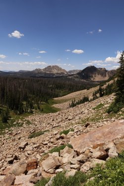
Looking down the drainage I had come up earlier in the day
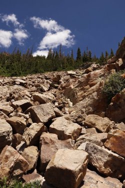
Looking back up the way I had come down from the saddle
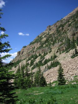
Grateful to be off the rocks at last, looking up at the slope of Reid's Peak
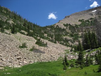
Looking back at a better shot of the saddle on my way back to the trailhead
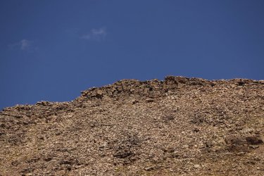
Zoomed in on the chutes that lead to the summit. Can you see the one I took?
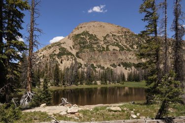
A pond and Reid's
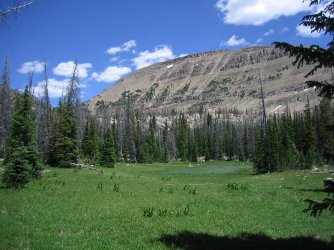
West side of Bald Mountain
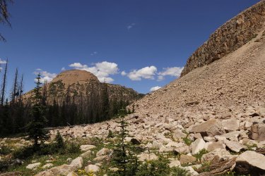
Bye bye Reid's
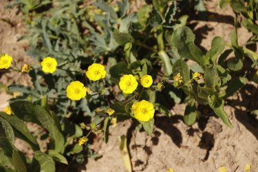
Buttercups along the trail
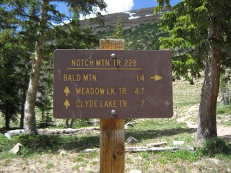
Back at the trailhead.
After Hike Shots:
Of course these Uinta trips mean you have to cook, and that means cast iron.
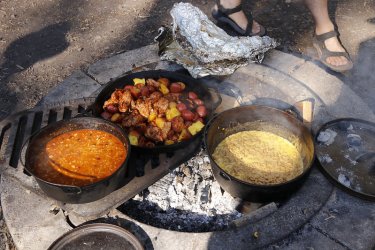
In the 21 inch cast iron skillet, we have chicken thighs marinated in a Hawaiian BBQ sauce, along with red potatoes and fresh
pineapple. In the 12 inch Dutch oven, we have Santa Fe soup, and in the 14 inch Dutch oven, we have, back by popular demand,
Mac & Cheese. You needed to stop by on your way north @Rockskipper and get you a bite to eat. We had plenty.
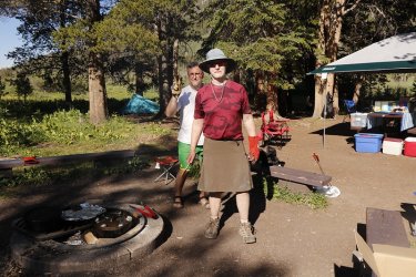
Chef Scat on cooking duty, and apparently being photobombed in the process.
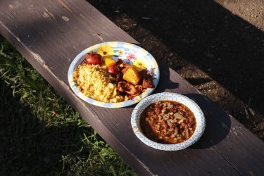
What it looks like all served up and it was delicious. Those are some jalapeno chips crushed up on the mac & cheese.
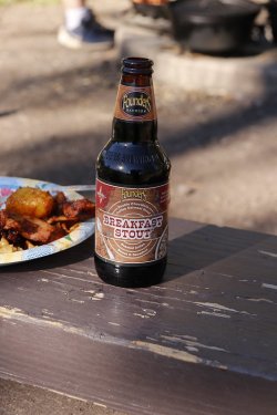
And to wash it all down I had a Founders Breakfast Stout
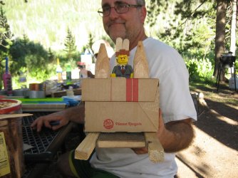
Homemade boat races down Hayden Fork were going to be on Sunday, and Lord Business was not going to be taking any prisoners.
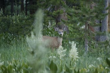
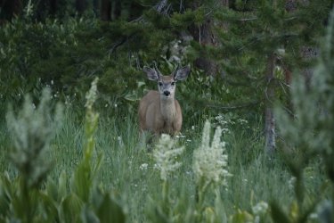
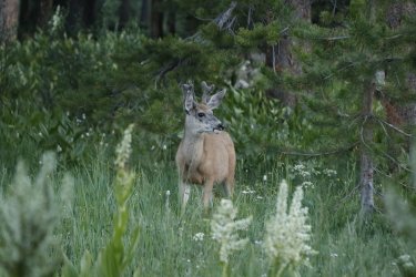
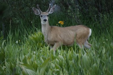
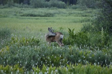
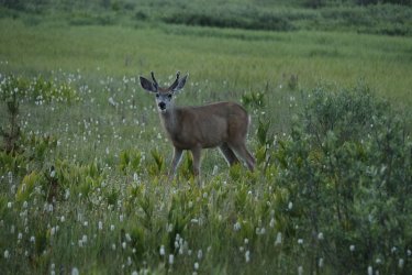
And our friend showed up on the periphery of camp again so I took a few shots before he wandered off.
Well, a great trip and a wonderful hike. If you want some solitude from the crowds on Bald Mountain give the solitude of Reid's Peak a go.
The End.


Reid's Peak over my left shoulder, and to the right of Sheila, back in 2021
Then in 2022, it rained on the day I was doing my day hike, and I didn't feel confident enough to tackle Reid's, so I did a rainy, foggy Bald Mountain again instead.

A cloudy/foggy Bald Mountain in 2022
So maybe in 2023 the third time will be the charm?
We stayed at Sulphur Campground for the sixth year in a row. Before that, we tried to mix things up a bit and stay at different campgrounds, but for some reason we have stuck with Sulphur since 2017, and that year my family hiked to the summit of Bald Mountain (of course we did).

Check out this fine looking gentleman (aka @Jackson) that we met at the summit of Bald Mountain back in 2017. Man, how time
flies!
Pre-hike photos.
We drove up to Sulphur Campground Friday afternoon and the campground and vicinity were full of wildflowers that I'd like to share.

Hayden Peak, taken form the Hayden Peak overlook. The sun angle was just perfect for this shot

Hummingbird at camp

The Scat setup at site #19

A visitor on the periphery of the campground


Wildflowers around camp

Please do not eat the plants

This bad boy has been working for over 50 years.

Nice camouflage
Day of the hike shots:
In order to keep up with @TractorDoc's training routine, and I mean the guy is like a Navy Seal with his dedication, I had to attempt Reid's Peak. I couldn't get anyone else to join me, so I was on my own.

I had to unload the Subaru for those staying at camp. The important stuff is on the right side of the table.

Reid's Peak is on the right, with Bald Mountain on the left as I am driving to the trailhead

Overview map of my day hike
So I had planned to start form the Bald Mountain Trailhead and take the Notch Mountain Trail to head around Bald Mountain. At some point, I was then going to leave the trail and head off-trail and work my way up to the saddle between Bald Mountain and Reid's Peak. Once there, I would work my way up the ridgeline of Reid's toward the summit. I had taken a waypoint of where I thought that the best jump off point from the trail was, but of course Mr. Genius left the GPS unit back in the tent at the campground and I didn't realize it until I was almost at the trailhead.
 So I was on my own for figuring out when to head cross-country.
Okay, stop the presses! Before I go any further, I should probably tell everyone which cameras I took on this hike.


Now back to the story.

I left the trailhead just after 7:30 AM, and began working my way around Bald Mountain

Bluebells were abundant along my route

First look at Reid's Peak in the morning light as I am rounding Bald Mountain

A meadow corridor looking towards Haystack Mountain

Another view from the Notch Mountain Trail

Heading off trail towards the drainage that leads to the saddle

Passing by and unnamed pond. Mosquitoes were becoming quite a nuisance at this point.

View up to the saddle

Rock hopping now, and beginning to get some views to the west

Always love to run into columbine on my hikes

As I gain elevation, the views are getting better - Haystack Mountain on the left to Notch Mountain on the right, and Mount
Watson in between.

Still some snow on the west side of Bald Mountain

Making my way up to the saddle. There was a small cliff band in the trees that I found a chute that goats had used to scramble up
it.

Just before reaching the saddle, I saw these two goats on the slope of Bald Mountain. I almost thought I could see @Bob hanging
out with them up there.

View from the saddle

View from the saddle towards Hayden Peak

Looking up at the ridgeline of Reid's Peak from the saddle

Hugging a cliff band on Reid's, looking towards Haystack Mountain with some of the lakes below coming into view

I'm guessing that that is the summit above?

Still working my way up the ridge

A look back at Bald Mountain

A cairn ahead that I did not knock down.

I traversed beneath this cliff band until I reached the steep scree that I would head up
to get to the summit

Getting really steep at this point. I tried to choose the path of least resistance at this point. I'm not sure how successful I was.

Damn near straight up at this point, at least if felt that way

I took the chute on the far left to scramble to the summit

A chute to the summit
Views from the summit:

View to the southwest towards Haystack Mountain. Lakes in the shot include Reids Lake. Notch Lake, Dean Lake, Clegg Lake, Star
Lake, Wall Lake, Trail Lake, Washington Lake. I'm probably missing a few of them. @Ugly help!

View to the west towards Notch Mountain

View to the northwest and the Weber River Drainage

View to the northeast and Mount Marsell and Kamas Lake

View slightly northeast towards Hayden Peak. On the far right of this shot is the actual high point of Reid's Peak

The summit, just across the small snow field

Somebody hauled a mailbox all the way up here

I signed the register. I was the first person to summit in 2023, at least according to the register. And only a handful of people had
summited in 2022.

Summit shot

Tripod position

View of Bald Mountain from the summit of Reid's Peak

Another look at Mount Marsell and Unnamed Peak 11,113 along with Kamas Lake

Lost Lake below

The essential gear

Zoomed in on Mount Timpanogos

Zoomed in on the Lone Peak Wilderness

Zoomed in on the Twin Peaks Wilderness, with the Mount Olympus Wilderness in the distance on the far right of the image

Another shot of Hayden as the sun angle improves after my lunch

Down the chute as they say as I begin to head off the summit

Better sun angle on the west side of Bald Mountain too.

I started to traverse along this cliff band on my way down, but I realized it was the wrong band, so I had to backtrack and drop
down to the next band.

This is the right one.

Fleabane

Working my way back down the ridge towards the saddle

What the southeast ridge looks like, some scrambling required.

Back on the saddle and looking up at the Bald Mountain ridgeline. I gave some thought
to heading up it and taking the Bald Mountain Trail back to the trailhead, but I didn't
know how long it would take me to make the climb and I had to get back to camp to
start cooking, so I backtracked the way I had come instead.

This is the goat trail through the small cliff band that I spoke of earlier

Looking down the drainage I had come up earlier in the day

Looking back up the way I had come down from the saddle

Grateful to be off the rocks at last, looking up at the slope of Reid's Peak

Looking back at a better shot of the saddle on my way back to the trailhead

Zoomed in on the chutes that lead to the summit. Can you see the one I took?

A pond and Reid's

West side of Bald Mountain

Bye bye Reid's

Buttercups along the trail

Back at the trailhead.
After Hike Shots:
Of course these Uinta trips mean you have to cook, and that means cast iron.

In the 21 inch cast iron skillet, we have chicken thighs marinated in a Hawaiian BBQ sauce, along with red potatoes and fresh
pineapple. In the 12 inch Dutch oven, we have Santa Fe soup, and in the 14 inch Dutch oven, we have, back by popular demand,
Mac & Cheese. You needed to stop by on your way north @Rockskipper and get you a bite to eat. We had plenty.

Chef Scat on cooking duty, and apparently being photobombed in the process.

What it looks like all served up and it was delicious. Those are some jalapeno chips crushed up on the mac & cheese.


And to wash it all down I had a Founders Breakfast Stout

Homemade boat races down Hayden Fork were going to be on Sunday, and Lord Business was not going to be taking any prisoners.
And our friend showed up on the periphery of camp again so I took a few shots before he wandered off.


Well, a great trip and a wonderful hike. If you want some solitude from the crowds on Bald Mountain give the solitude of Reid's Peak a go.
The End.
Last edited:
