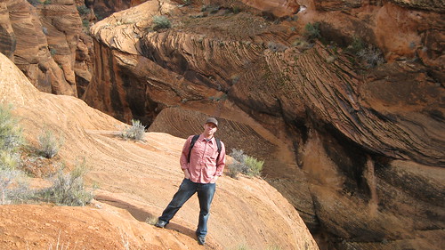
Red Cliffs National Recreation area Feb. 2010

Tyler

^^^^^^^^^^^^^^^^^^^^^^^^^^^^^^^^^^^^
Joined
Jan 18, 2012
Messages
464


I had a business trip to St George, Utah this past week and decided to take advantage of being in the area for a little hike. I love the St George area, but have only spent time at Zion NP and Snow Canyon SP. I asked for advice on some message boards about some quick local hikes in the area and had some great suggestions. I settled on Red Cliffs recreation area, which is located near Leeds, UT (north of St George). Getting to the location was VERY quick and easy.

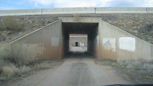
I took the Leeds exit and followed a frontage road south a few miles and turned west to head under I-15.

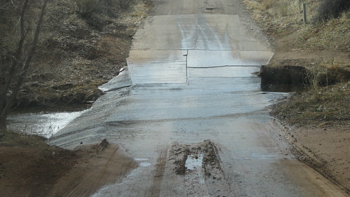
Then I followed the road through this creek and on to the campground area.

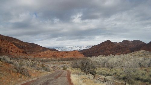
I took this picture as I was heading in. Loved the different colors of the dead winter vegetation, the red cliffs, and the snowy Dixie Nattional forest in the background.

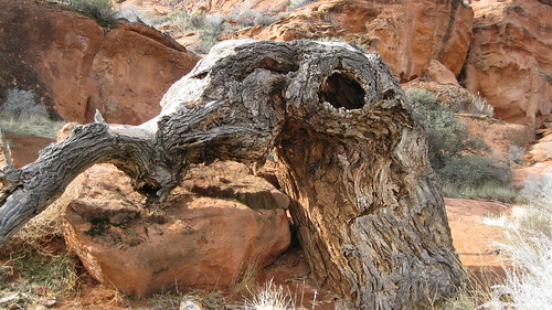
I started my hike right away and was amazed at how beautiful it was.The trail follows a creek the whole way and along the way I found this funny-looking tree (it's huge).

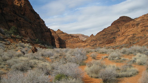
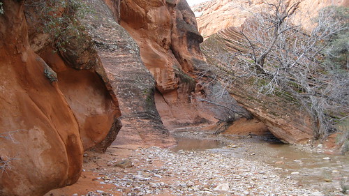
The canyon is somewhat wide as I went up and mostly looked like this.

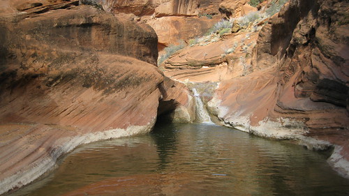
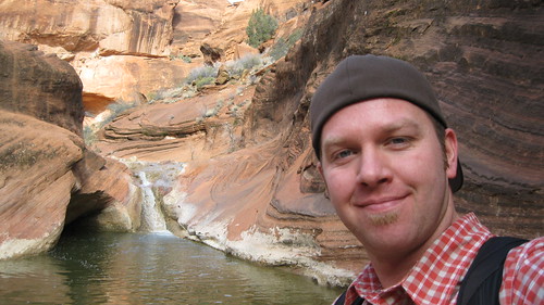
I then came upon the first pool and waterfall. I can imagine this is very nice for a swim in the summer time


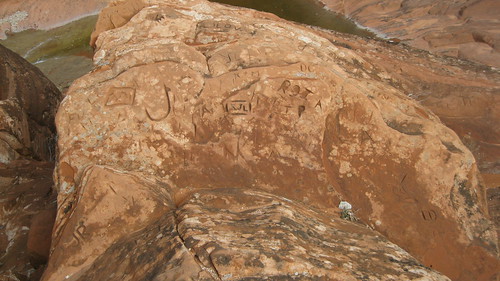
The local tribes of southern utah have left their marks (probably teenagers)

I continued up canyon as it started to get deeper and narrower. I loved this area as it lead to another set of two pools and waterfalls.
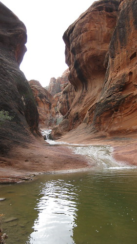


If you wanted to avoid getting wet, you had to use the handline and moki steps to get up and above it. This area of the canyon was very beautiful (above it) as well)
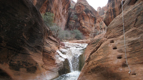

I continued hiking up as the creek made a sharp turn North and became too narrow for me to hike along.

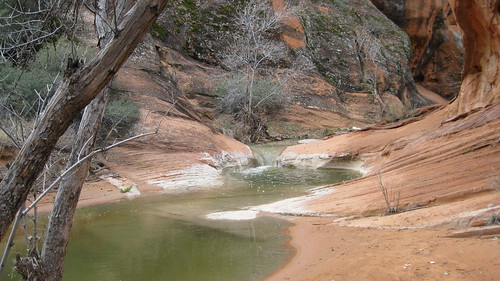
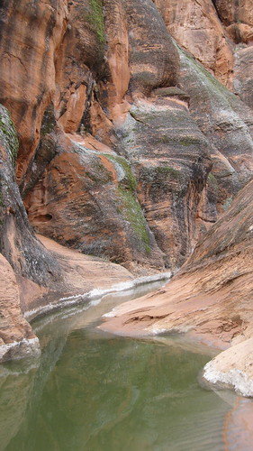


I scrambled up the sandstone above it to see how much further the creek continued. I decided to hang out up here for a bit and take a few more pictures of the water and of the sandstone in the area.
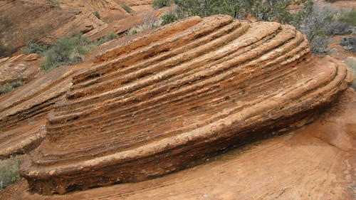

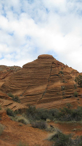
I climbed up onto this large petrified poo rock and took in the view


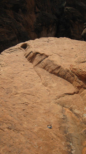
As I climed down, I noticed a lot of B&H's along the top of this area. I'm assuming this must be a popular area for climbers. I'd love to come back and do some rapelling as the trip to the top is not that far/hard to get to
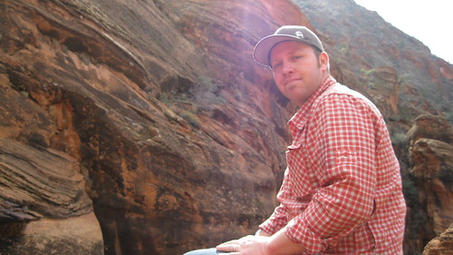


I booked it back to the car and back home to SLC. I had a great trip and look forward to coming back with Alene to do more exploring. There were TONS of side canyons I wasn't able to explore due to time. This is definitely a place I will be coming back to when I'm down here.
 
Added Red Cliffs to the list! :twothumbs:
 
Added Red Cliffs to the list! :twothumbs:

You should. It's such a quick and easy hike. In fact, there is no reason I shouldn't hit it up every time I'm down there. You can head to the back of the falls and back in 30 min. at a good pace. It's just a few miles off the freeway too. I love this place.
 
Just north of St George at the Leeds exit. Head south along the frontage road (on the east side of the freeway). You'll see an access point to cross under I-15, take that and after under I-15, follow the signs to Red Cliffs. There is an improved BLM campground out there, so you'll need to pay for parking (they have camp attendants there).
 
Red Cliffs was designated a national conservation area (whatever that means) in 2009, before that it was a desert reseve made to protect in part the desert tortoise. It is a huge chunk of land down here in Southern Utah and was very controversial when initially designated, well to the development and construction industry :twothumbs: It is +- 45,000 acres (Snow Canyon is about 7,400 acres) the area of this TR is probably the most popular part of the conservation area and Tylers pics show why! The place is awesome!! A warning weekends in spring and summer the place is packed! And I mean packed!! Uncomfortably so at times! I hopefully will post a TR about another awesome part of Red Cliffs and hope to hike cottonwood canyon wilderness area this march(it is part of the RCNCA and adjacent to where Tyler was at).
 
Red Cliffs was designated a national conservation area (whatever that means) in 2009, before that it was a desert reseve made to protect in part the desert tortoise. It is a huge chunk of land down here in Southern Utah and was very controversial when initially designated, well to the development and construction industry :twothumbs: It is +- 45,000 acres (Snow Canyon is about 7,4000 acres) the area of this TR is probably the most popular part of the conservation area and Tylers pics show why! The place is awesome!! A warning weekends in spring and summer the place is packed! And I mean packed!! Uncomfortably so at times! I hopefully will post a TR about another awesome part of Red Cliffs and hope to hike cottonwood canyon wilderness area this march(it is part of the RCNCA and adjacent to where Tyler was at.

Thanks for the additional info. I guess I should have added that it is indeed packed in the spring (which is the only other time I've been there). The other times I've been there when it's not packed is in the winter (Feb) and late fall (Nov). We went in April of last year and cars were lined up down the road outside the regular parking area.

I'd be very interested in other hikes around the area and look forward to your TR.
 
Arch..jpg

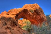
This is a picture from Arch trail in the Babylon section of Red Cliffs. This trail can and is brutal in the summer (hot) fortunately the virgin river is about 400 yards from this arch!
 
View attachment 849

This is a picture from Arch trail in the Babylon section of Red Cliffs. This trail can and is brutal in the summer (hot) fortunately the virgin river is about 400 yards from this arch!

The virgin river runs through Red Cliffs?? I had not idea it extended across the freeway.Looks like it runs all the way over to Hurricane.
 
The virgin river runs through Red Cliffs?? I had not idea it extended across the freeway.Looks like it runs all the way over to Hurricane.

Yep it is in fact on both sides of the river at one point. The two big cinder knolls in Hurricane are part of Red Cliffs. It basically goes from Red Mountain and Snow Canyon all the way along the base of Pine Valley to Hurricane and the Virgin River. There are some major roads splitting it into sections so it is not like one continuous solid piece of conservation area but still....Here is the BLM map of it http://www.blm.gov/pgdata/etc/media...nlcs/maps.Par.24479.File.dat/RedCliffsNCA.pdf
 
the area of this TR is probably the most popular part of the conservation area and Tylers pics show why! The place is awesome!!

I can't wait to see it in March :twothumbs:


A warning weekends in spring and summer the place is packed! And I mean packed!! Uncomfortably so at times! I hopefully will post a TR about another awesome part of Red Cliffs and hope to hike cottonwood canyon wilderness area this march(it is part of the RCNCA and adjacent to where Tyler was at).

How packed?
Will I get problems with a camping spot in Snow Canyon in Mid March = Spring Break?

And Cottonwood Canyon wilderness sounds great, just saw a few pictures of it and it caught me eye. ;)
 
Mid march should be ok IMHO. April is when red cliffs gets pretty busy! Cottonwood canyon does look cool, I hope to explore the north end more over the next couple weeks!
 
Back
Top