Chic Mcnug
New Member
- Joined
- Apr 18, 2025
- Messages
- 4
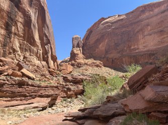
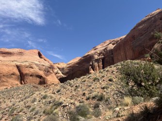
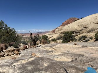
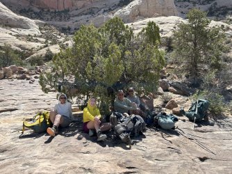
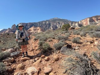
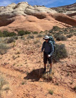
Five of us hiked the North Trail from 4/12/2025 through 4/16/2025. High temperature was about 80 at trailhead then reducing a couple degrees to around 76 for the duration. All of us (except for one 35-year old) are 70-plus. I would normally consider 76 degrees pleasant hiking temps but with a 34 lb. pack and sun reflecting off solid rock during many stretches it was warm enough to have us seeking shade whenever possible.
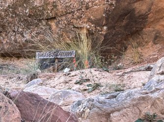
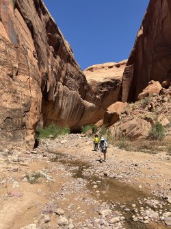
Running water was at Cha Canyon, Junction Creek (Bald Rock), Nasja Creek, Oak Canyon, and Bridge Creek. A couple other drainages had stagnant pothole water. Considering the area’s well-below average winter precipitation, my guess would be a few of the smaller drainages (Cha, for example) may run dry soon.
Managed to see the requisite frogs, lizards, and birds, and were pleasantly surprised to see
three wild horses.
Cell service was available to almost Bald Rock Canyon.
Drive in was slow but easily handled by our Tacoma and Lexus GX 460. Wouldn’t recommend a two-wheel drive clutch vehicle unless it has a granny gear or you don’t mind burning up some serious clutch.
Many bug bites, mainly from no-see-ums and a few mosquitoes so if you’re susceptible bring bug juice.
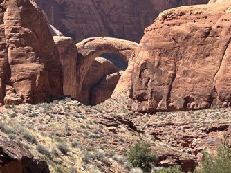
A tremendous hike though if we do it again will take a boat shuttle out on Lake Powell.
Running water was at Cha Canyon, Junction Creek (Bald Rock), Nasja Creek, Oak Canyon, and Bridge Creek. A couple other drainages had stagnant pothole water. Considering the area’s well-below average winter precipitation, my guess would be a few of the smaller drainages (Cha, for example) may run dry soon.
Managed to see the requisite frogs, lizards, and birds, and were pleasantly surprised to see
three wild horses.
Cell service was available to almost Bald Rock Canyon.
Drive in was slow but easily handled by our Tacoma and Lexus GX 460. Wouldn’t recommend a two-wheel drive clutch vehicle unless it has a granny gear or you don’t mind burning up some serious clutch.
Many bug bites, mainly from no-see-ums and a few mosquitoes so if you’re susceptible bring bug juice.
A tremendous hike though if we do it again will take a boat shuttle out on Lake Powell.