John Goering
Member
- Joined
- Sep 30, 2014
- Messages
- 495
Another one night adventure, this one up Mill Creek out of Sheridan, MT that combined a little (very little in this case) Jeeping with some backpacking. We left our place about 10:00 am Saturday morning and made it to the end of the Jeep trail up Quartz Creek by lunch. The plan was to backpack to a small un-named "lake" on Johnson Creek, the next drainage to the north. The Jeep trail (FS 1298) is only about 2 miles long. A lot of exposure but not very exciting. Coming out of the Mill Creek bottom gets a bit steep (typical "U" shaped glacial canyon) and there were a couple large boulders that would likely stop most if not all cross-over vehicles, but once above that, pretty much just a dirt road.
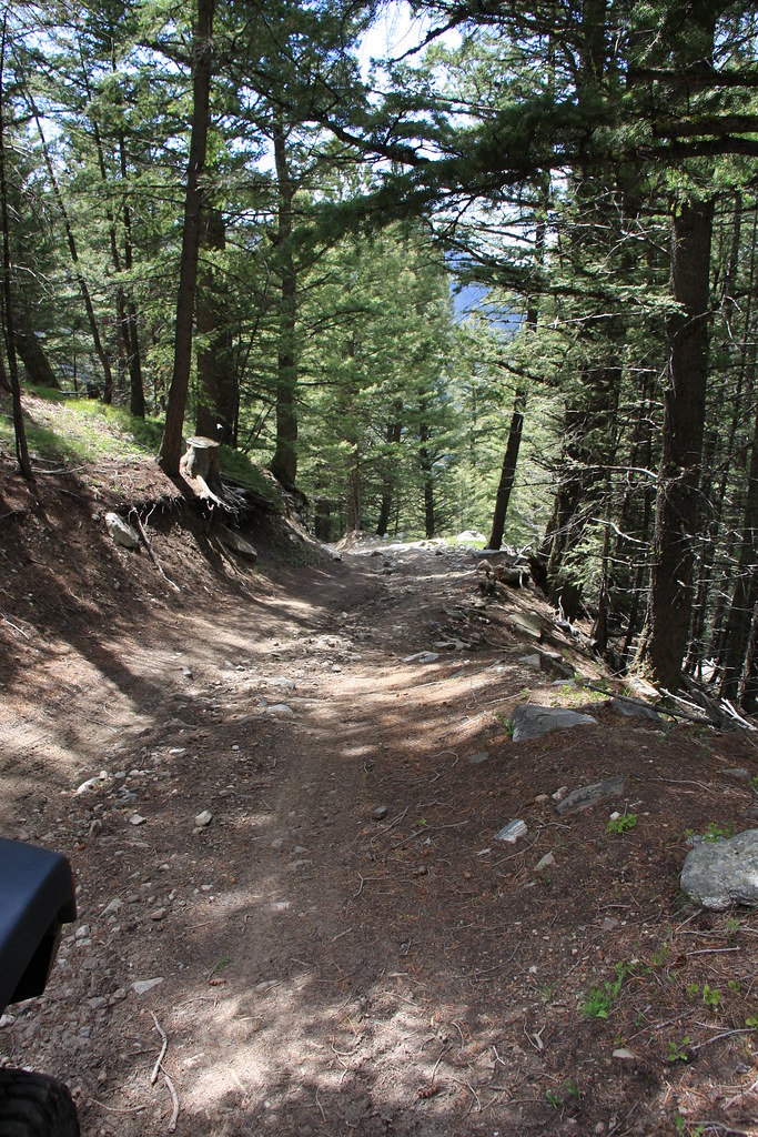
FS 1298 (we were on our way out here)
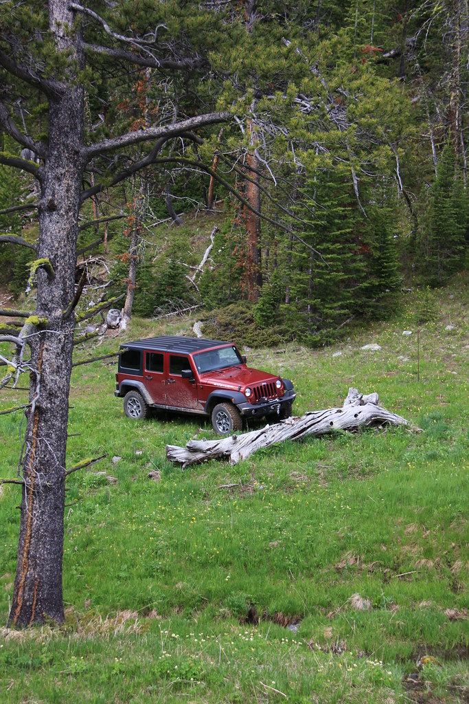
JK parked at the East Fork Quartz Creek trail head.
First glimpse of the objective-after a lot of bushwacking through spruce, subalpine fir, and deadfall whitebark pine-we found a lot easier way out.
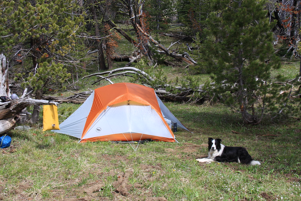
First photo of the new tent-we tested several pieces of new equipment on this short trip but the tent lightened my pack almost 4 lbs.
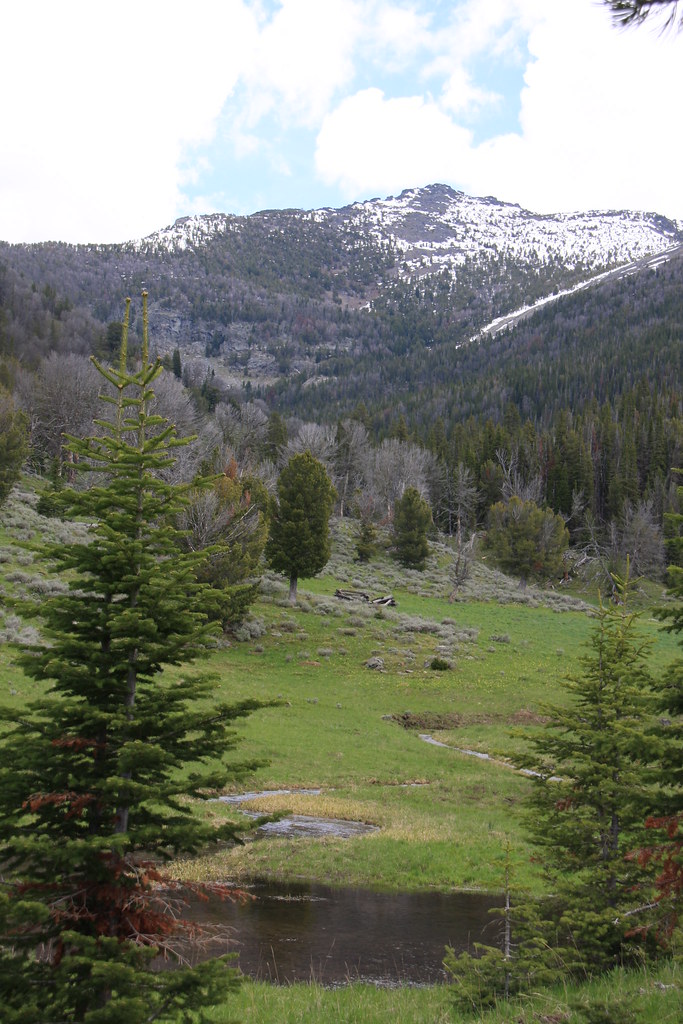
Johnson Creek above the lake.
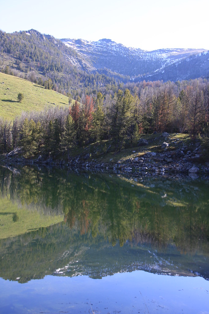
The lake with Leggat Mountain behind. Alas, no fish but you never know.
This was prime elk country with elk sign everywhere. We woke up Sunday morning being scolded by a cow elk-didn't see a calf but suspect there was one there.
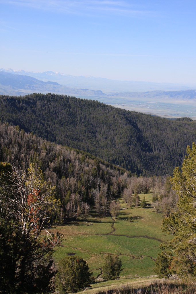
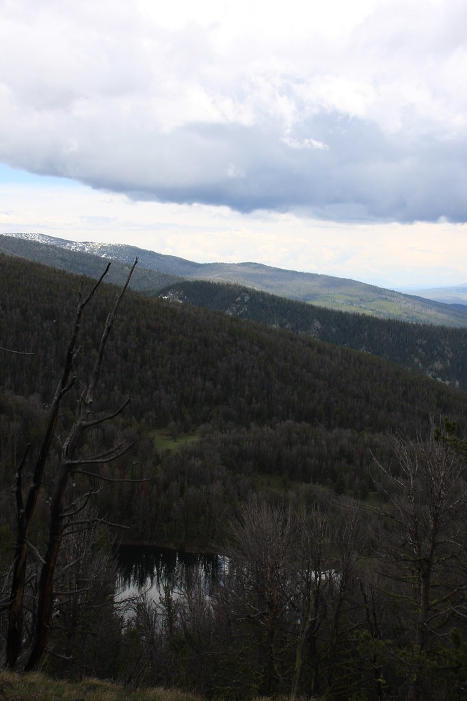
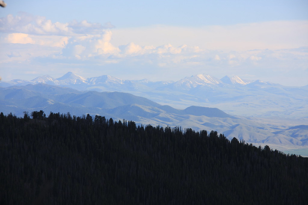
View to southeast from camp. Baldy Mountain at the extreme north end of the Gravelly Range. Alder Gulch/Virginia City hid in front.
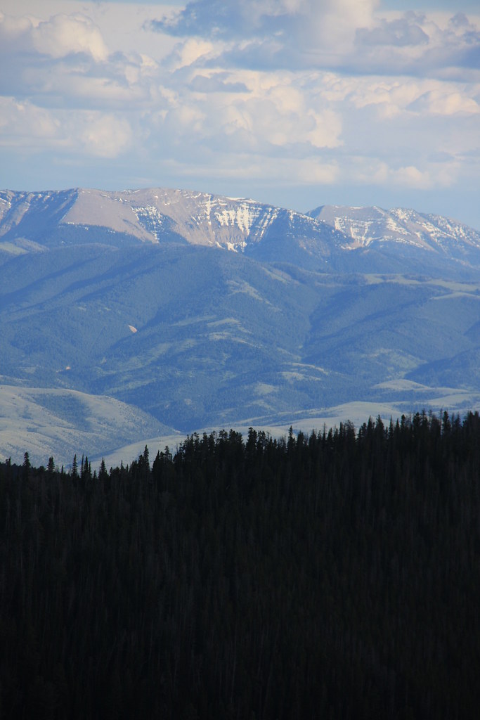
Straight south shot from camp. Peaks of the Greenhorn Range.
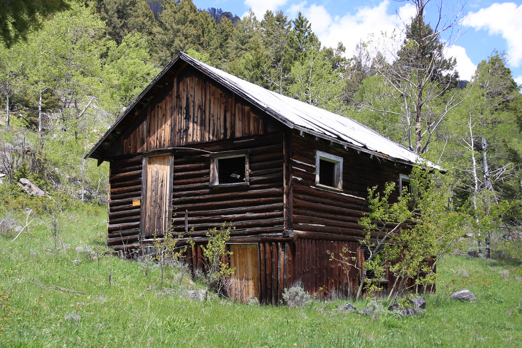
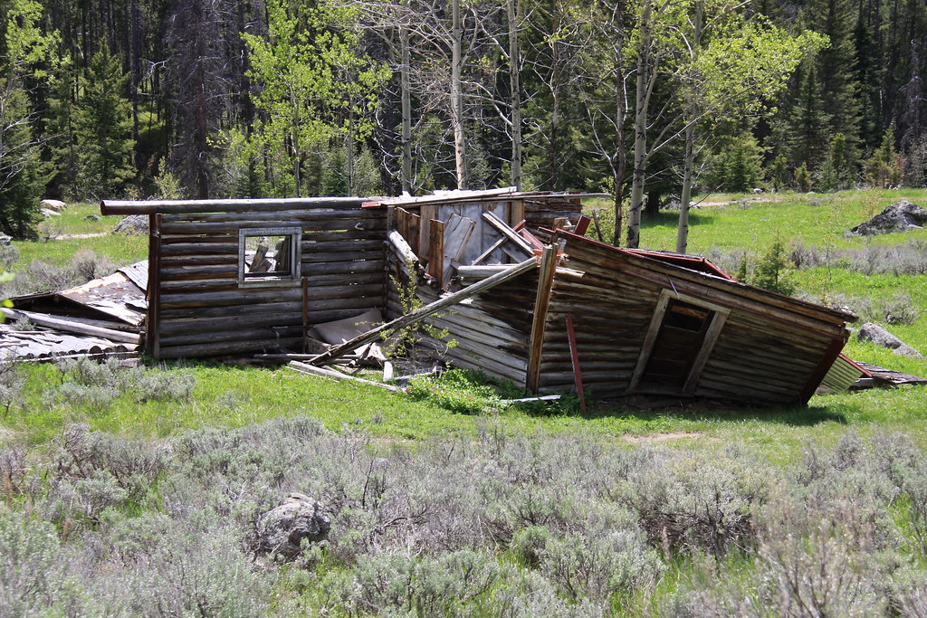
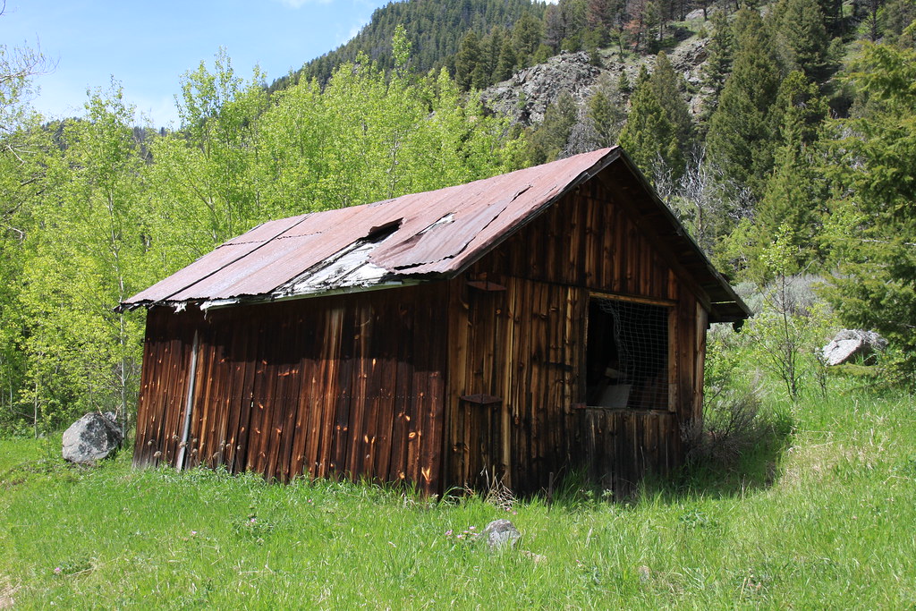
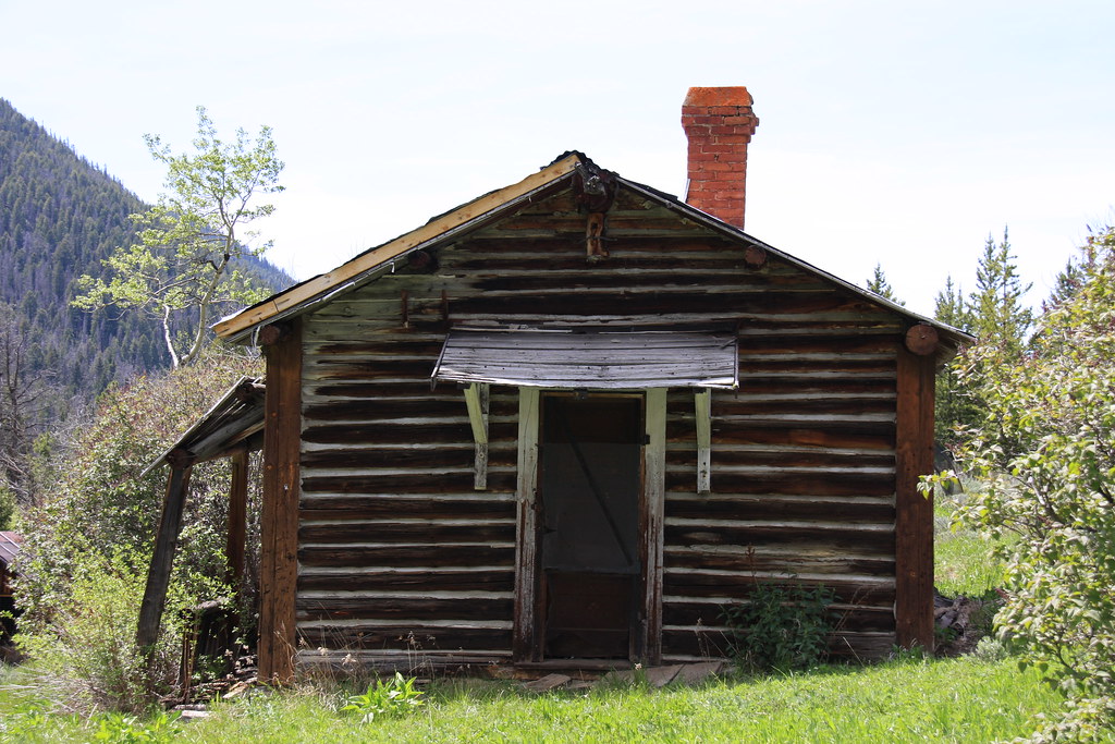
Remains of either a sheep herders or miners cabin on the East Fork Quartz Creek on the way out. Leggat Mountain behind.
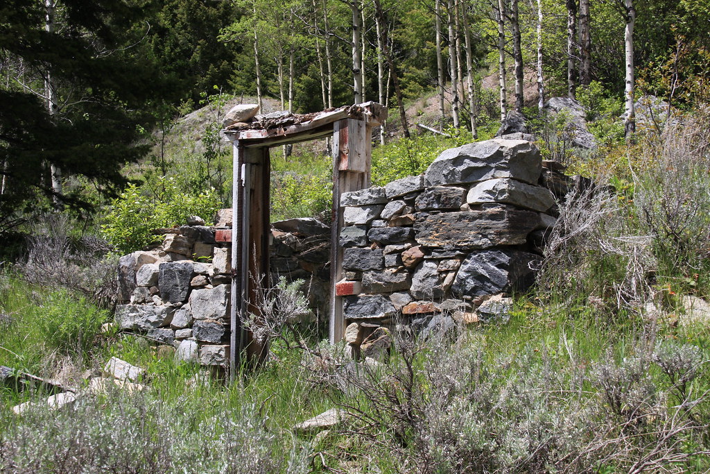
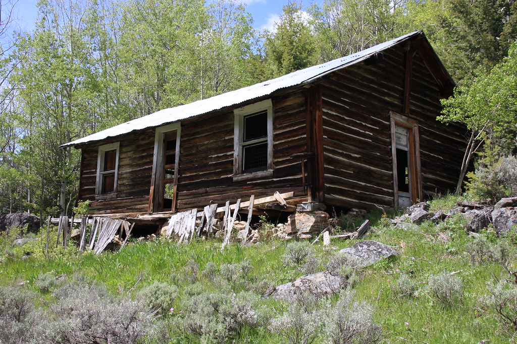
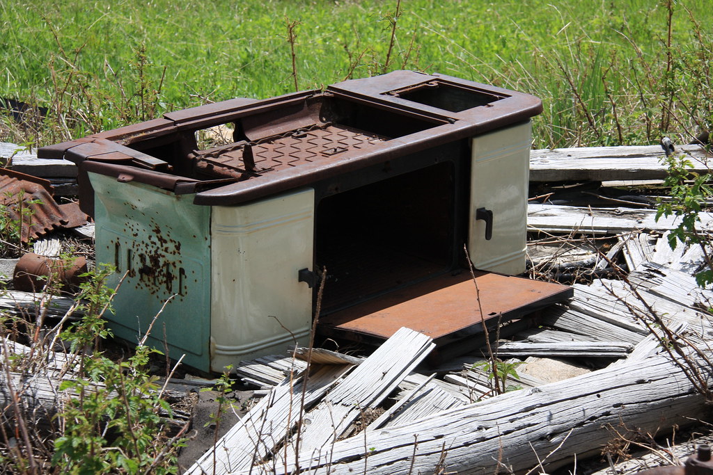
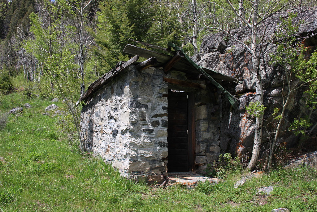
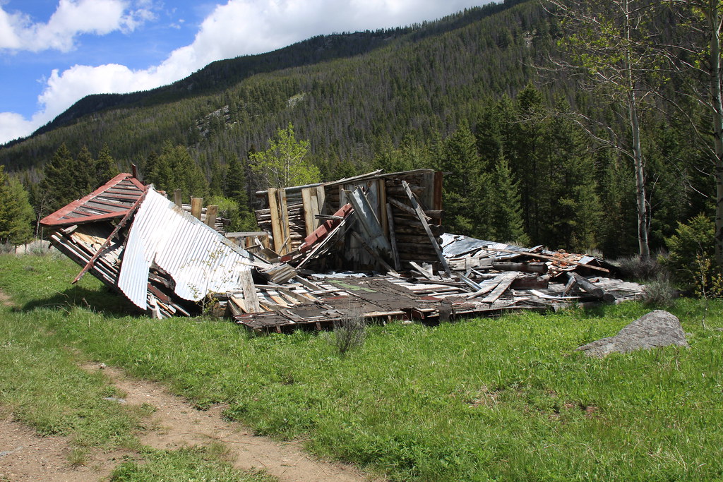
After exiting Quartz Creek onto Mill Creek Road (FS 111), we stopped by the remains of the Smuggler Mine. I've been past it dozens of times but this was the first pixel age photo stop. An interesting place in that it was pretty extensive but apparently never patented-all Forest Service ground.
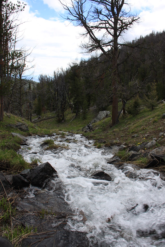
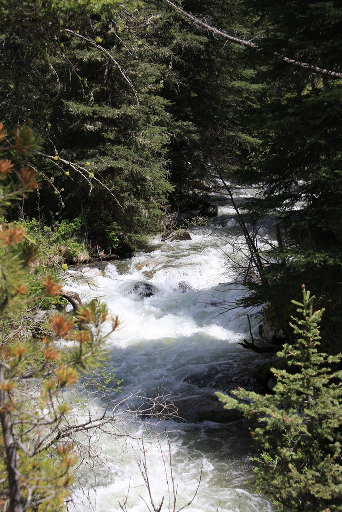
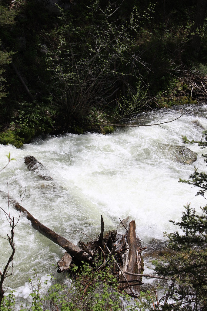
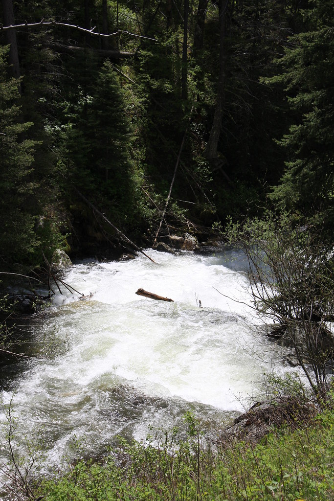
Mill Creek below the mine was rolling right along.
For a diversion on the way back to Bozeman, instead of taking the highway (US 287) back through Virginia City to Ennis and then 287 to Norris, we hit East Fork Granite Creek Road (FS 161) about 5 miles east of Alder, MT to South Meadow Creek Road (FS1249), thence onto North Meadow Creek Road and Sterling Road and came out at Norris. Not very fast but better scenery. 30 something miles of dirt. Unfortunately, didn't stop to take too many photos.
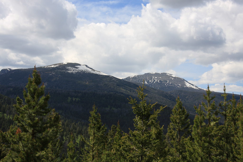
This one off FS 1249. South Baldy and Ward Peak as we were descending into the South Meadow Creek drainage.
Featured image for home page:

FS 1298 (we were on our way out here)
JK parked at the East Fork Quartz Creek trail head.
First glimpse of the objective-after a lot of bushwacking through spruce, subalpine fir, and deadfall whitebark pine-we found a lot easier way out.
First photo of the new tent-we tested several pieces of new equipment on this short trip but the tent lightened my pack almost 4 lbs.
Johnson Creek above the lake.
The lake with Leggat Mountain behind. Alas, no fish but you never know.
This was prime elk country with elk sign everywhere. We woke up Sunday morning being scolded by a cow elk-didn't see a calf but suspect there was one there.
View to southeast from camp. Baldy Mountain at the extreme north end of the Gravelly Range. Alder Gulch/Virginia City hid in front.
Straight south shot from camp. Peaks of the Greenhorn Range.
Remains of either a sheep herders or miners cabin on the East Fork Quartz Creek on the way out. Leggat Mountain behind.
After exiting Quartz Creek onto Mill Creek Road (FS 111), we stopped by the remains of the Smuggler Mine. I've been past it dozens of times but this was the first pixel age photo stop. An interesting place in that it was pretty extensive but apparently never patented-all Forest Service ground.
Mill Creek below the mine was rolling right along.
For a diversion on the way back to Bozeman, instead of taking the highway (US 287) back through Virginia City to Ennis and then 287 to Norris, we hit East Fork Granite Creek Road (FS 161) about 5 miles east of Alder, MT to South Meadow Creek Road (FS1249), thence onto North Meadow Creek Road and Sterling Road and came out at Norris. Not very fast but better scenery. 30 something miles of dirt. Unfortunately, didn't stop to take too many photos.
This one off FS 1249. South Baldy and Ward Peak as we were descending into the South Meadow Creek drainage.
Featured image for home page:
")