- Joined
- Dec 23, 2013
- Messages
- 4,319
I had originally intended to hike to Plateau Lake back in the spring of 2015 as part of my off-trail loop around the upper Firehole River Drainage. I had reserved the campsite at Summit Lake for two nights and had hoped to day hike from there to Plateau Lake, which was approximately 13 miles round trip. Instead, I only made it as far as Smoke Jumper Hot Springs that day. I didn't feel like I had enough gas left in my tank to make it the 13 miles across the burn to reach Plateau. So essentially, this trip was planned to reach Plateau Lake and check off what I didn't complete three years ago. My family decide to keep me company on this trip and on our third day we did an off-trail hike to Buffalo Meadows.
Now, right off the bat, this is going to be a long report so for those who don't like to wade through such things, I apologize.
Day 1 - Our trip began by driving up to West Yellowstone on the 26th where we picked up our backcountry permit before heading on to Madison Campground at Madison Junction to stay for the night. While at the campground, we did a small day hike to Harlequin Lake which is located just off the west entrance road. The lake itself is a nice lily pad covered one with plenty of ducks weaving their way through the pads. Because the lake is so close to the road though, you tend to hear quite a bit of traffic, which takes away from the experience in my opinion.
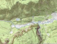 Map of Madison Campground and Harlequin Lake
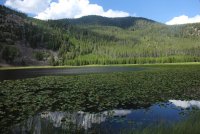
Harlequin Lake
Day 2 - On the morning of the 27th, we woke up early and headed towards Biscuit Basin where our trailhead was located. For those not familiar with Yellowstone, Biscuit Basin is a thermal area and is a pretty popular place with the tourists. I wanted to get there early enough so that I wasn't fighting for a parking spot near the trailhead. Fortunately, I was able to park in the stall right next to the trailhead.
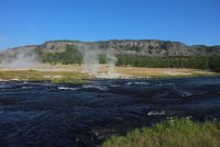
View from the Biscuit Basin Trailhead of the Firehole River, a portion of the thermal basin and in the distance, the Madison Plateau
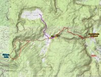
Trip overview map - we stayed at campsite 0D2 for two nights, then moved to 0D3 for the third night.
On our second day, we will be hiking in 5.8 miles from the Biscuit Basin Trailhead to the Little Firehole Meadows and campsite 0D2. The hike begins with making one's way through the hot pots in Biscuit Basin on a boardwalk. I call this hiking in style! Once off the boardwalk, we made our way along the Little Firehole River towards the base of the Madison Plateau and Mystic Falls.
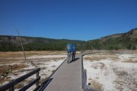
Backpacking in style through Biscuit Basin.
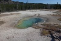
One of the many hot pools in the basin.
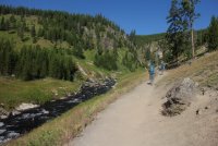
Hiking along the Little Firehole River towards Mystic Falls
Mystic Falls is another popular tourist destination in the park, but we were lucky for a second time and had the falls to ourselves as we made our way up the switchbacks and onto the plateau.
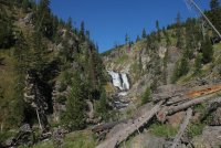
Approaching the lower portion of Mystic Falls
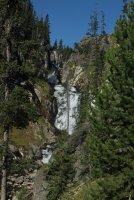
Another shot of Mystic Falls
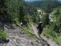
Making our way up the switchbacks and onto the Madison Plateau. Who was the genius that put this hill here in the first place?
Once on top of the plateau, we had a nice view back to the southeast and Upper Geyser Basin and Old Faithful. At this point, the trail starts its way through the old burn from 1988. I must say though, the new lodgepoles are starting to get tall enough to provide a little bit of shade in some spots.
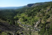
Looking down on the Little Firehole and a portion of Upper Geyser Basin in the distance.
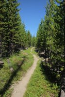
Typical trail conditions on top of the plateau
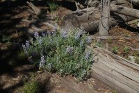
Lots of Lupine along the trail
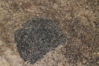
Lots of pitchstone along our route too
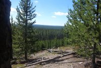
Starting to open up a bit to the south at this point along the trail
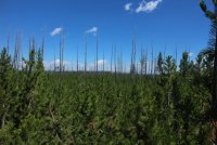
View to the north with 30 year old snags and new growth. Gotta love it!
Eventually, we began to drop off the plateau and back down to the Little Firehole River and on to the Little Firehole Meadows where our first campsite was located.
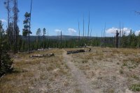
Beginning our descent back down to the Little Firehole River - In the distance you can see the ridge that we will be hiking along to get to Plateau Lake on our next day.
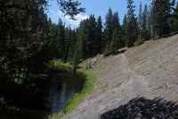
Back along the Little Firehole River
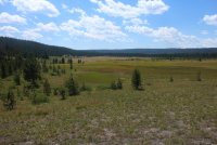
The southern portion of the Little Firehole Meadows
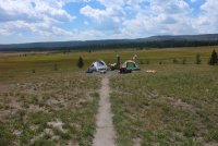
Setting up camp at the edge of the meadows at campsite 0D2
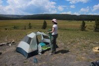
Our tent - Scatwoman with her Flash18 - We use our Flash18s as pillows.
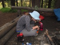
Yummy - eating dinner
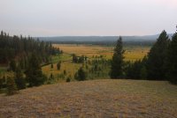
A look down on the Little Firehole River beginning to wind its way through the meadows in the evening
Sunset over the Little Firehole Meadows
Day 3 - Well, this is the big day for me, the bushwhack to Plateau Lake. My wife decide that she didn't want to deal with the terrain and the nonexistent trail, so she stayed at camp while the kids and I would attempt the lake.
We would first head west, across the Little Firehole Meadows and hookup with an unnamed stream and follow it up the drainage. As the drainage curves back around to the south, we would leave the drainage and make our way up and onto the plateau, then head slightly southwest to Plateau Lake.
As we made our way along, we saw a marten (pretty cool) and couple of pikas as we made our way up the plateau. The wildflowers were tremendous along the streams and finger meadows. We also encountered a whole lot of marsh along the way. More on that later.
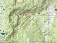
Day hike to Plateau Lake overview - We ended up hiking back a different way for part of the way back to camp.
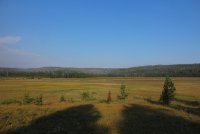
Looking west across the Little Firehole Meadows in the morning - ready for a big day.
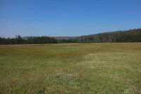
Making our way through the big meadow. It was very marshy in spots and we pretty much started off with wet feet. We are heading towards a finger meadow and the stream we will be following up the drainage.
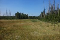
Entering the finger meadow.
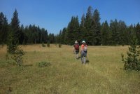
Other than being marshy in places, it is easy hiking at this point.
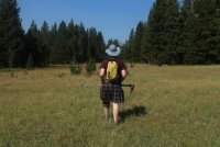
Nothing like a good picture of the backside of the Scatman.
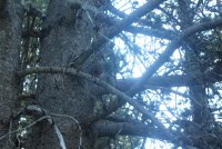
A Marten, peaking around the tree at us.
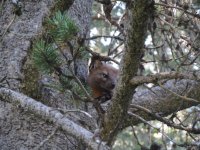
It's wondering, "Who are these people?"
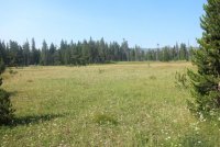
The path ahead
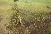
A sense of some of the marshiness along the way
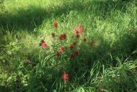
Paintbrush
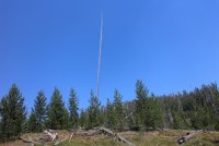
A lone snag - I don't know why, but I like this shot
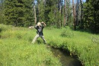
Ha, I taught him everything he knows. Boy is he in trouble!
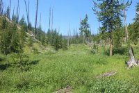
More path ahead - starting to see more downfall
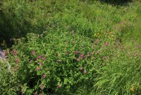
Monkeyflower
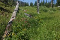
More wildflowers
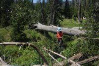
Our stream is starting to get pretty small at this point and we are taking a break to refill our water bottles while we can. At this point we are nearing the point when we will turn up and start climbing up the plateau.
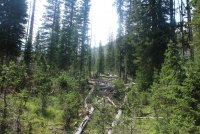
Aargh!
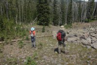
Kids have spotted one of the two Pikas that we encountered in this rock field
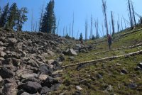
Up the plateau! Another Aargh from me.
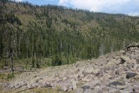
View looking back down into the drainage. See a Pika?
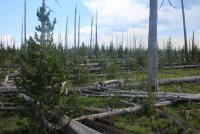
This is what the top of the Madison Plateau looks like 30 years after the fire. Lots of sticks on the ground.
A well deserved break.
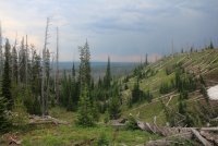
Way off in the distance and kind of hard to see is Mount Sheridan
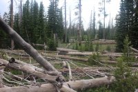
First glimpse of Plateau Lake through the trees - Hallelujah!:twothumbs:
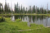
Plateau Lake
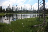
Plateau Lake
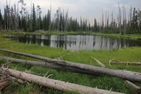
The north shore of Plateau Lake
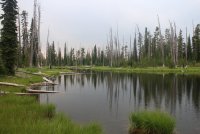
And one last shot of the lake. Isn't this exciting?
It took us 5.5 hours to reach the lake and after taking some pictures, we ate a quick lunch then started our way back to camp. On our way back, we encountered a heavy thunderstorm that dumped on us for about twenty minutes. The lightning was fun to watch though. Also, we encountered some extreme marsh that left me wondering if I was going to make it back to camp at all. We also had the pleasure of seeing a Golden Eagle on our route back to Little Firehole Meadows.
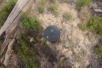
Somebody needs to enlighten me on this marker. We found it just southeast of Plateau Lake. Is it an old state boundary marker of some sort even though the state boundary is a good ways off to the west? @Artemus ?
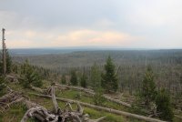
The way back to camp - nothing but downfall. Double Aargh!
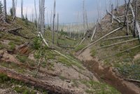
This way kids.
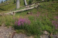
Fireweed
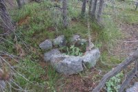
How old is this fire ring. There are actually two sitting rocks, one of which is barely visible in the lower right of the image that new trees are growing between them and the ring. Back in the day, this would have require Deputy Scatman to arrest someone. @Rockskipper and @Miya
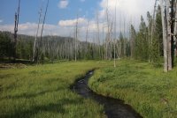
The view after the thunderstorm had passed overhead.
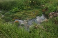
Thermal features we encountered on our way back to camp.
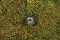
Thermal feature
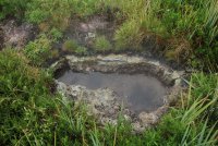
Thermal feature
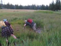
Scatman down! Scat Jr. down too! Ha Ha! I promise you, it looked like solid ground.
Look closely at this shot.
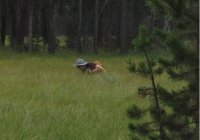
Close up of above image - I am waist deep in the muck. I tried to plant my hiking poles, but they went all the way in. I essentially had to swim out of this predicament. I almost lost both hiking shoes in this. Lesson learned. Not!
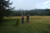
Kids getting a kick out of my foolishness.
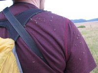
I haven't mentioned mosquitoes yet. This shot says it all.
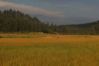
The tents are within reach! Our ten hour hike is almost complete. I'm pooped.
Day 4 - We had to pick up and move camp this morning, back to campsite 0D3. After moving camp, we did an off-trail day hike to Buffalo Meadows which was roughly 7 miles round trip.
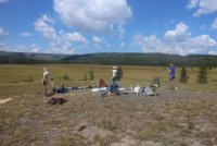
Packing up camp at 0D2
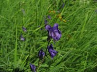
Monkshood
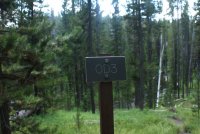
Campsite sign for 0D3
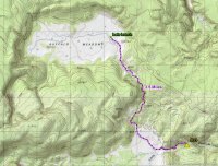
Overview map of day hike to Buffalo Meadows
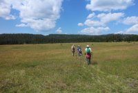
On our way to Buffalo Meadows - we are heading towards the notch in the ridge.
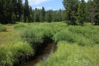
The stream that flows from Buffalo Meadows that we will attempt to follow.
Beautiful country
I don't believe this town is big enough for the two of us! Hey, don't be lookin' up my kilt!
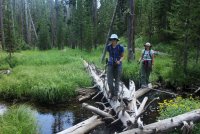
We had to cross this stream numerous times
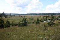
Entering Buffalo Meadows
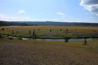
Buffalo Meadows in all its glory.
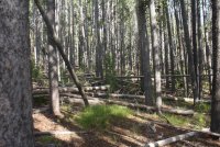
On our way back to camp. We had to gain the ridge because we cliffed-out following the stream.
We passed the two gentlemen that took over campsite 0D2 on our way back to 0D3. I asked them if they had dinner ready for us. Their answer was unsatisfactory to say the least! Deputy Scatman!
Day 5 - Packed up and headed back to the trailhead
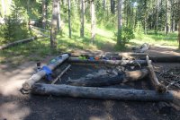
Getting ready for breakfast
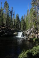
Little Firehole Falls at campsite 0D3. There is a great swimming hole here for those who like to swim.
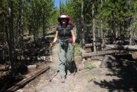
Slow down you move too fast, got to make the morning last, just kicking down the cobblestone, looking for fun and feeling groovy.
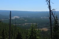
Old Faithful and upper Geyser Basin.
Well, it turned out to be a great trip. The temperatures were perfect, low to mid seventies during the day and right around freezing at night. We actually had some frost on our rainfly in the morning while camped at the meadow. The weather cooperated too with only a couple of afternoon thunderstorms to deal with. A reasonably good short trip for those who are interested.
If I've made any spelling errors throughout this report, let me know and I will go in and change them. I'm too lazy to go back and check. Thanks.
The End
Now, right off the bat, this is going to be a long report so for those who don't like to wade through such things, I apologize.
Day 1 - Our trip began by driving up to West Yellowstone on the 26th where we picked up our backcountry permit before heading on to Madison Campground at Madison Junction to stay for the night. While at the campground, we did a small day hike to Harlequin Lake which is located just off the west entrance road. The lake itself is a nice lily pad covered one with plenty of ducks weaving their way through the pads. Because the lake is so close to the road though, you tend to hear quite a bit of traffic, which takes away from the experience in my opinion.
 Map of Madison Campground and Harlequin Lake
Harlequin Lake
Day 2 - On the morning of the 27th, we woke up early and headed towards Biscuit Basin where our trailhead was located. For those not familiar with Yellowstone, Biscuit Basin is a thermal area and is a pretty popular place with the tourists. I wanted to get there early enough so that I wasn't fighting for a parking spot near the trailhead. Fortunately, I was able to park in the stall right next to the trailhead.

View from the Biscuit Basin Trailhead of the Firehole River, a portion of the thermal basin and in the distance, the Madison Plateau

Trip overview map - we stayed at campsite 0D2 for two nights, then moved to 0D3 for the third night.
On our second day, we will be hiking in 5.8 miles from the Biscuit Basin Trailhead to the Little Firehole Meadows and campsite 0D2. The hike begins with making one's way through the hot pots in Biscuit Basin on a boardwalk. I call this hiking in style!

Backpacking in style through Biscuit Basin.

One of the many hot pools in the basin.

Hiking along the Little Firehole River towards Mystic Falls
Mystic Falls is another popular tourist destination in the park, but we were lucky for a second time and had the falls to ourselves as we made our way up the switchbacks and onto the plateau.

Approaching the lower portion of Mystic Falls

Another shot of Mystic Falls

Making our way up the switchbacks and onto the Madison Plateau. Who was the genius that put this hill here in the first place?
Once on top of the plateau, we had a nice view back to the southeast and Upper Geyser Basin and Old Faithful. At this point, the trail starts its way through the old burn from 1988. I must say though, the new lodgepoles are starting to get tall enough to provide a little bit of shade in some spots.

Looking down on the Little Firehole and a portion of Upper Geyser Basin in the distance.

Typical trail conditions on top of the plateau

Lots of Lupine along the trail

Lots of pitchstone along our route too

Starting to open up a bit to the south at this point along the trail

View to the north with 30 year old snags and new growth. Gotta love it!
Eventually, we began to drop off the plateau and back down to the Little Firehole River and on to the Little Firehole Meadows where our first campsite was located.

Beginning our descent back down to the Little Firehole River - In the distance you can see the ridge that we will be hiking along to get to Plateau Lake on our next day.

Back along the Little Firehole River

The southern portion of the Little Firehole Meadows

Setting up camp at the edge of the meadows at campsite 0D2

Our tent - Scatwoman with her Flash18 - We use our Flash18s as pillows.

Yummy - eating dinner

A look down on the Little Firehole River beginning to wind its way through the meadows in the evening

Sunset over the Little Firehole Meadows
Day 3 - Well, this is the big day for me, the bushwhack to Plateau Lake. My wife decide that she didn't want to deal with the terrain and the nonexistent trail, so she stayed at camp while the kids and I would attempt the lake.
We would first head west, across the Little Firehole Meadows and hookup with an unnamed stream and follow it up the drainage. As the drainage curves back around to the south, we would leave the drainage and make our way up and onto the plateau, then head slightly southwest to Plateau Lake.
As we made our way along, we saw a marten (pretty cool) and couple of pikas as we made our way up the plateau. The wildflowers were tremendous along the streams and finger meadows. We also encountered a whole lot of marsh along the way. More on that later.

Day hike to Plateau Lake overview - We ended up hiking back a different way for part of the way back to camp.

Looking west across the Little Firehole Meadows in the morning - ready for a big day.

Making our way through the big meadow. It was very marshy in spots and we pretty much started off with wet feet. We are heading towards a finger meadow and the stream we will be following up the drainage.

Entering the finger meadow.

Other than being marshy in places, it is easy hiking at this point.

Nothing like a good picture of the backside of the Scatman.

A Marten, peaking around the tree at us.

It's wondering, "Who are these people?"

The path ahead

A sense of some of the marshiness along the way

Paintbrush

A lone snag - I don't know why, but I like this shot

Ha, I taught him everything he knows. Boy is he in trouble!

More path ahead - starting to see more downfall

Monkeyflower

More wildflowers

Our stream is starting to get pretty small at this point and we are taking a break to refill our water bottles while we can. At this point we are nearing the point when we will turn up and start climbing up the plateau.

Aargh!

Kids have spotted one of the two Pikas that we encountered in this rock field

Up the plateau! Another Aargh from me.

View looking back down into the drainage. See a Pika?

This is what the top of the Madison Plateau looks like 30 years after the fire. Lots of sticks on the ground.

A well deserved break.

Way off in the distance and kind of hard to see is Mount Sheridan

First glimpse of Plateau Lake through the trees - Hallelujah!:twothumbs:

Plateau Lake

Plateau Lake

The north shore of Plateau Lake

And one last shot of the lake. Isn't this exciting?
It took us 5.5 hours to reach the lake and after taking some pictures, we ate a quick lunch then started our way back to camp. On our way back, we encountered a heavy thunderstorm that dumped on us for about twenty minutes. The lightning was fun to watch though. Also, we encountered some extreme marsh that left me wondering if I was going to make it back to camp at all. We also had the pleasure of seeing a Golden Eagle on our route back to Little Firehole Meadows.

Somebody needs to enlighten me on this marker. We found it just southeast of Plateau Lake. Is it an old state boundary marker of some sort even though the state boundary is a good ways off to the west? @Artemus ?

The way back to camp - nothing but downfall. Double Aargh!

This way kids.

Fireweed

How old is this fire ring. There are actually two sitting rocks, one of which is barely visible in the lower right of the image that new trees are growing between them and the ring. Back in the day, this would have require Deputy Scatman to arrest someone. @Rockskipper and @Miya

The view after the thunderstorm had passed overhead.

Thermal features we encountered on our way back to camp.

Thermal feature

Thermal feature

Scatman down! Scat Jr. down too! Ha Ha! I promise you, it looked like solid ground.


Look closely at this shot.

Close up of above image - I am waist deep in the muck. I tried to plant my hiking poles, but they went all the way in. I essentially had to swim out of this predicament. I almost lost both hiking shoes in this. Lesson learned. Not!


Kids getting a kick out of my foolishness.

I haven't mentioned mosquitoes yet. This shot says it all.

The tents are within reach! Our ten hour hike is almost complete. I'm pooped.
Day 4 - We had to pick up and move camp this morning, back to campsite 0D3. After moving camp, we did an off-trail day hike to Buffalo Meadows which was roughly 7 miles round trip.

Packing up camp at 0D2

Monkshood

Campsite sign for 0D3

Overview map of day hike to Buffalo Meadows

On our way to Buffalo Meadows - we are heading towards the notch in the ridge.

The stream that flows from Buffalo Meadows that we will attempt to follow.

Beautiful country

I don't believe this town is big enough for the two of us!

We had to cross this stream numerous times

Entering Buffalo Meadows

Buffalo Meadows in all its glory.

On our way back to camp. We had to gain the ridge because we cliffed-out following the stream.
We passed the two gentlemen that took over campsite 0D2 on our way back to 0D3. I asked them if they had dinner ready for us. Their answer was unsatisfactory to say the least!
Day 5 - Packed up and headed back to the trailhead

Getting ready for breakfast

Little Firehole Falls at campsite 0D3. There is a great swimming hole here for those who like to swim.

Slow down you move too fast, got to make the morning last, just kicking down the cobblestone, looking for fun and feeling groovy.

Old Faithful and upper Geyser Basin.
Well, it turned out to be a great trip. The temperatures were perfect, low to mid seventies during the day and right around freezing at night. We actually had some frost on our rainfly in the morning while camped at the meadow. The weather cooperated too with only a couple of afternoon thunderstorms to deal with. A reasonably good short trip for those who are interested.
If I've made any spelling errors throughout this report, let me know and I will go in and change them. I'm too lazy to go back and check. Thanks.
The End
Last edited:

