- Joined
- Dec 5, 2017
- Messages
- 1,331
We had a great trip! Thanks to those of you who provided info and advice.
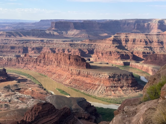
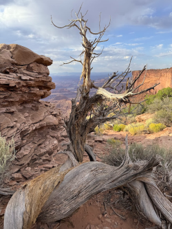
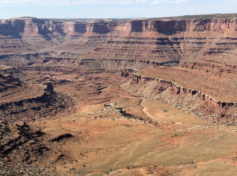
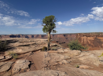
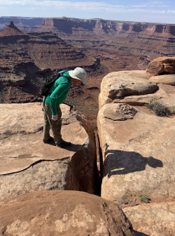
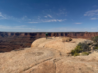
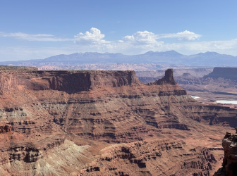
7 of us from Michigan and Maryland headed out to SLC on Sept. 28 and arrived in Moab in time for dinner at yummy 98 Center, which is owned by river guides who worked with our friends on a previous rafting trip in the Grand Canyon. The next day, we spent time in the middle of the day at Tex's Riverways finalizing our rentals and payment. Before then, we had a great morning at Dead Horse Point State Park. I've wanted to go there on other trips but never made it, so I was glad to get there this time and it was especially perfect for this trip, as we'd get to look down on the Colorado a week before jet boating below the same spot at the end of our trip. The rim hike was easy, fun, and had great views of the surrounding canyons.
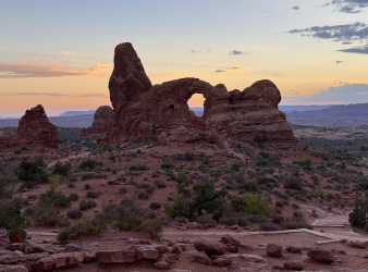
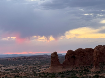
After taking care of everything at Tex's, my husband realized we could go to Arches for sunset since timed entry permits aren't needed after 4 pm. We got food for a picnic dinner and delighted in the beautiful scenery at the Windows section.
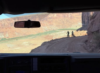
The next morning, Tex's loaded up all our stuff (plus lots of other groups) and drove us to Mineral Bottom. As expected, the last part was quite a ride down! Here are a few bikers coming up.
We were excited to get on the water. My husband and I were the least experienced boaters in the group. Sure, we had canoed & kayaked a few times here and there, but we had never really dealt with river currents before. We purposely chose this time of year rather than spring, knowing it would be less challenging than high, swift spring run-off. I don't think it would have been good for us to go without others; we definitely benefitted from our friends' guidance and instruction.
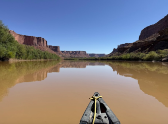
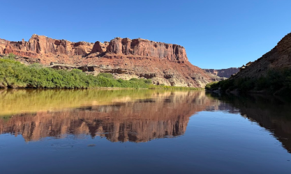
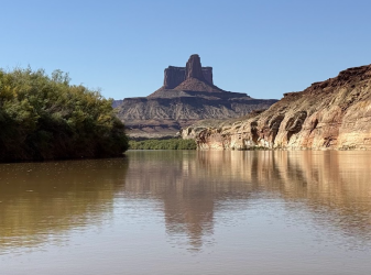
From our first day on the river to the end of our trip, we never saw a single cloud. It was HOT, but it was easy to cool off in the water and I'm glad we didn't have to contend with rain or cold. We fully expected headwinds coming up the river, but we didn't even have that. Very calm, peaceful days and nights. Beautiful scenery. I took a zillion reflection shots and other photos. Here are a couple from Day 1.
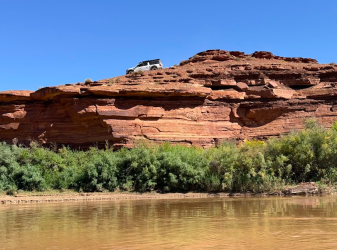
Truck up on the White Rim Road
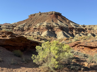
Our first night's camp was at Fort Bottom.
Putting in to shore was our first experience with something we would experience a lot - quicksandy-mud whenever we needed to stop. My shoes kept getting stuck, especially on Day 2 when I got stuck over and over again. I eventually decided to let other people be the ones to unload the boats and I would carry everything up to camp. I think I'm a land girl more than a river girl...
Anyway, after setting up camp at Fort Bottom, we cooled off in the water for awhile. Then a few of us hiked up to the top to see the ancient structure. We loved the scenery as we were heading up and the fabulous views from the top, made especially beautiful by the setting sun.
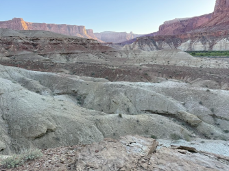
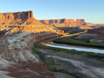
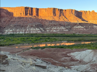
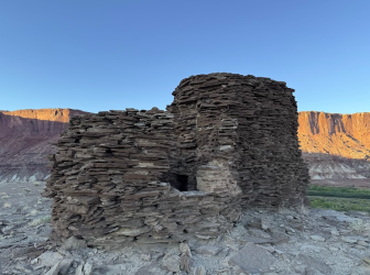
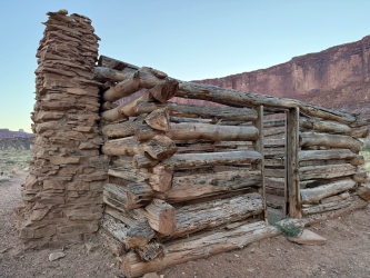
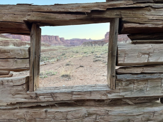
On the way back, we checked out Walker cabin from ~1890s.
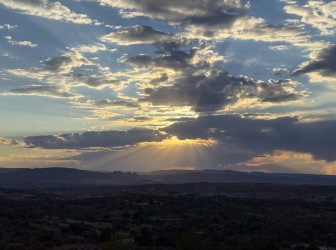
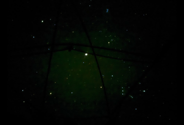
The night skies were incredible. Because of our trip dates, we had no moon and saw a lot more than we've sometimes seen. With sunset around 7:00, we were already seeing the Milky Way before 8:00. Since there were zero clouds, we slept without our rain fly and I had a great view of the sky from inside the tent. Here are Jupiter, Orion, and so many other fun things to look at as I tossed and turned each night.
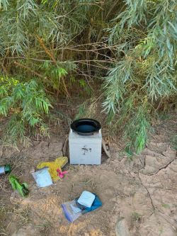
Here's our groover, still nice and fresh...
On Day 2, we successfully navigated Millard's Riffles (hooray for planning ahead!) and had hoped to explore Anderson Bottom a bit (Native American remains plus slot canyon) but other boats filled up a spot to get up and we couldn't get across the quicksandy-mud at another spot. We finally gave up on that goal. We had hoped to camp at Upper Cabin camp, but people were there who clearly didn't want to share the area with us, and Lower Cabin was full with multiple groups. So we ended up making do with a beach of sorts at Tuxedo Bottom. No hiking this day and I had gotten stuck in the mud too much. My least favorite day. BUT, the scenery along the river was gorgeous, so I couldn't really complain too much!
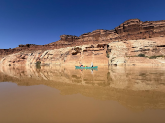
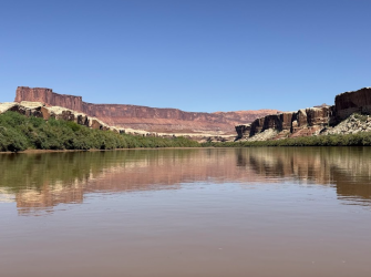
Buttes of the Cross
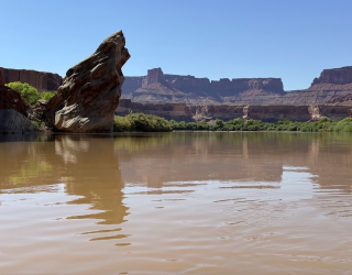
Same rock but viewed from downstream
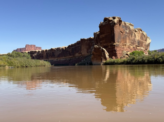
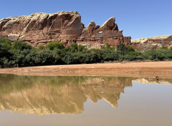
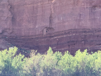
Late afternoon sun made it hard to see this well. The two-story structure built into the cliff was certainly impressive!
Great views from camp
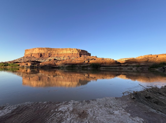
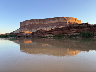
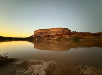
Morning of Day 3
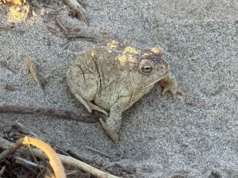
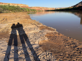
We paddled just a little bit from camp to a spot where we could get up to Turk's Head. This was more challenging than expected, as we tried a few different places (including from camp) to get through the tamarisk lining the river bank. Finally we found a spot that worked. We enjoyed the granaries, and I would have liked to explore further up there, but others in the group were hot and wanted to get back on the river. Compromise is key!
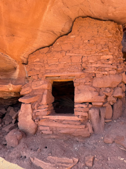
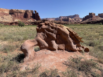
Lots of flowering datura
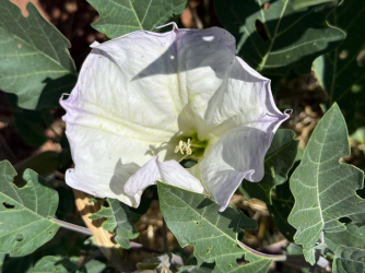
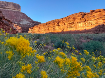
I will always stop for flowers
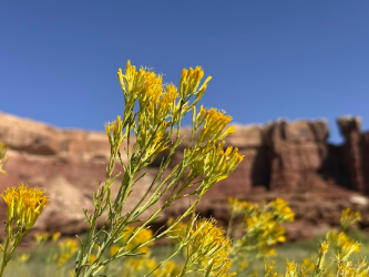
Turks Head and Candlestick Tower
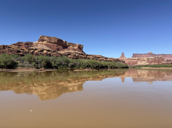
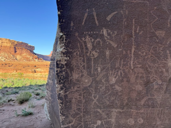
We got back on the river and decided to camp at Deadhorse Canyon, only a few miles downstream. We had realized the previous evening that campsites aren't always available, especially if you arrive late in the day. We had wanted to see Newspaper Rock but hadn't been able to see it the previous day, so we claimed our camp at Deadhorse and then hiked back to see the petroglyphs. The hike was fun (a little spicy for a few in our group) and the art was fantastic!
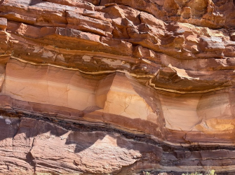
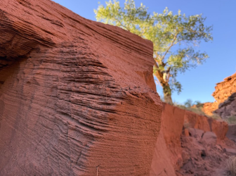
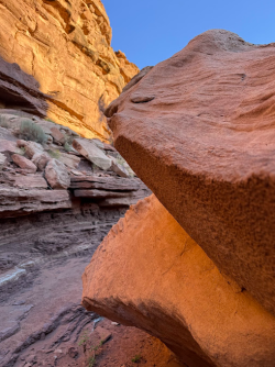
Rocks along the river - always so interesting
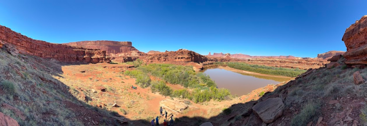
Where we camped at Deadhorse
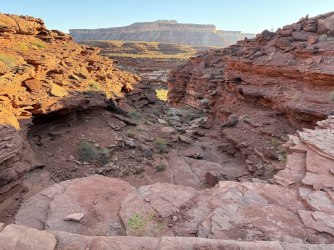
On our hike up the canyon toward Newspaper Rock
Newspaper Rock
Heading back to camp
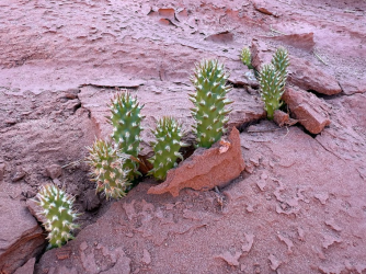
We loved these tiny cacti that must have just recently poked through the ground.
I love southern Utah, at a distance and up close...
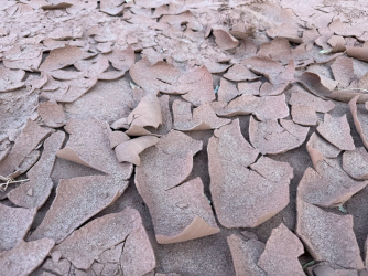
The mud was fun to crunch through when it was dried.
Because there were no clouds, the shows at sunset and sunrise were always rocks rather than colors in the sky.
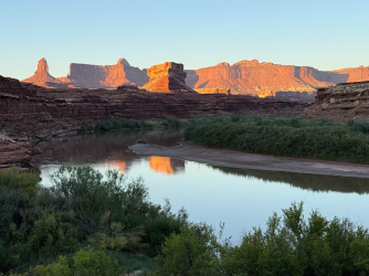
A few minutes later
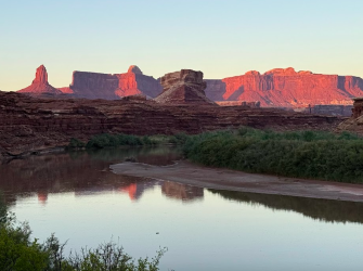
A few minutes later
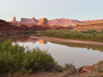
Our boats at Deadhorse - soooo muddy there (and everywhere)
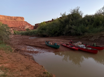
On Day 4, I was hoping we'd be able to hike from Stove Camp all the way to the confluence overlook. But the group wasn't rushing and we by the time we made camp on the opposite side of the river (a large group was on the desired side - they were nice and said we could try to find space there, but our groups were both too big) and ferried across we only had time to hike to the top and come back down. I was a tiny bit disappointed, but we had some great experiences earlier that day - we watched a heron catch a huge fish and fly wiith it, and we spotted a group of bighorn sheep high on the cliffs and watched that for awhile. Plus the scenery was so beautiful.
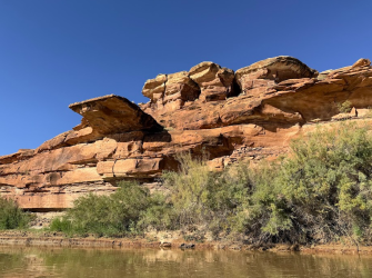
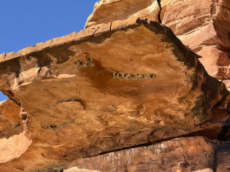
Quite a diving board up there! And it had swallow nests that we could see as we went under.
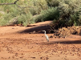
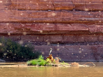
Lots of heron sightings, including one time when there was an enormous swarm of gnats.
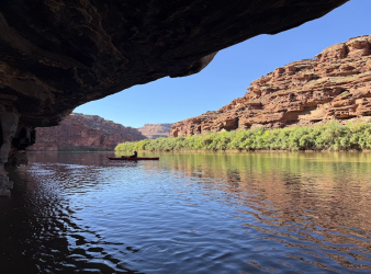
On these hot days, we took advantage of shady spots along the water.
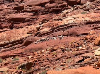
Bighorn sheep up on the cliff (zoomed in)
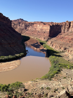
Along the hike up from Stove Canyon - looking upstream and across to the beach where we later set up camp
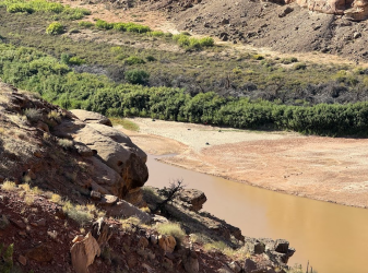
On the hike to the top
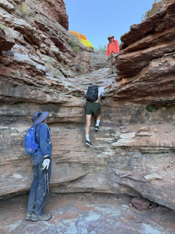
and back down
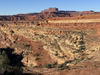
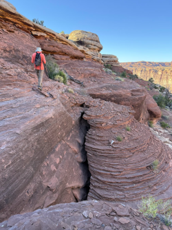
On Day 5, our final day paddling on the river, we really wanted to get a campsite at Upper Spanish Bottom so we could hike up to the Dollhouse. We knew that Middle and Lower Spanish Bottom were very hard to access, and luck was with us as we got to the registration and saw that there was space at Upper. Hooray! More beautiful scenery along the way, and we were excited to see the confluence with the Colorado.
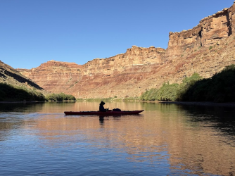
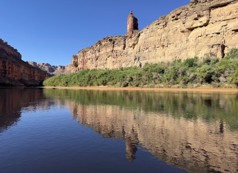
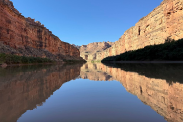
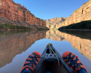
I couldn't get a good photo of the confluence. We knew to stop here after passing the confluence.
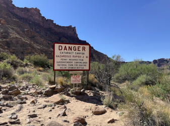
Approaching Spanish Bottom - excited to see the Dollhouse up above
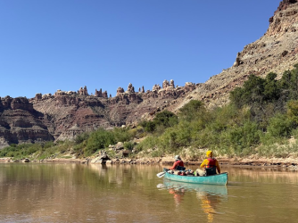
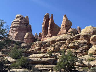
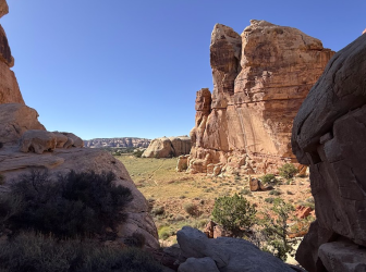
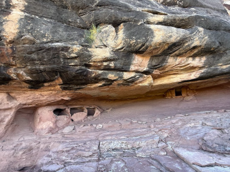
I had originally hoped to hike well beyond the Dollhouse, but it wasn't meant to be. We didn't finish staking out our camp until 2:00, so when we headed up I hoped we'd be able to see the granary as well as the Dollhouse. We did! You can only get to the Dollhouse from the river or from a very slow 4x4 road. We talked to someone who was camping up there who said it took 8 hours to drive 40 miles from Hans Flat. Arriving by river was definitely the right approach for us - and so worth it - fabulous rocks up there!
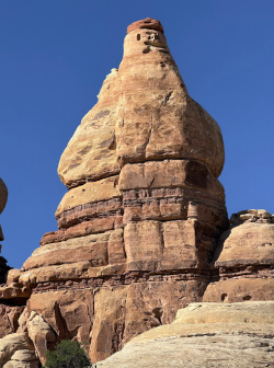
Such a funny character!
Oh well, not this time - hopefully another time...
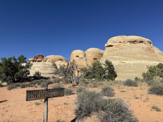
Pretty similar to the mural in Moab's 98 Center restaurant.
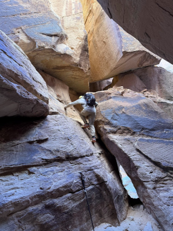
Fun joints
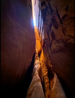
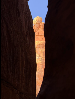
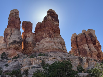
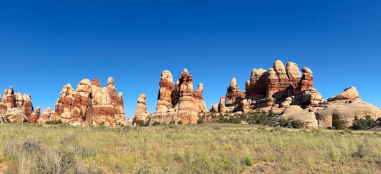
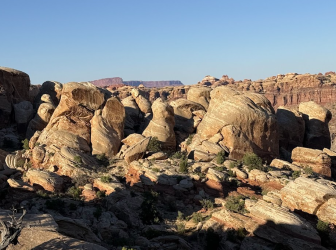
Phenomenal scenery on the way to the granary. I took videos but should have taken a pano.
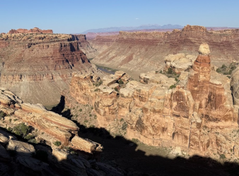
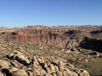
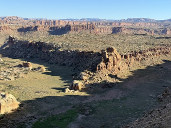
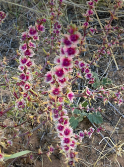
Pretty but very pokey
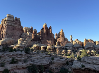
Heading back down - sad to leave
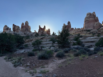
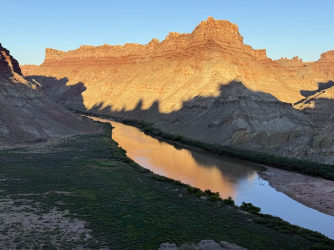
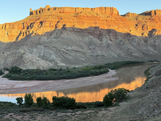
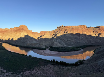
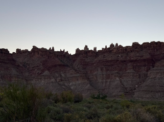
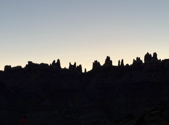
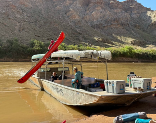
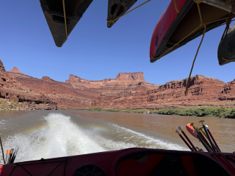
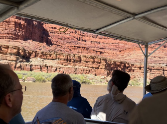
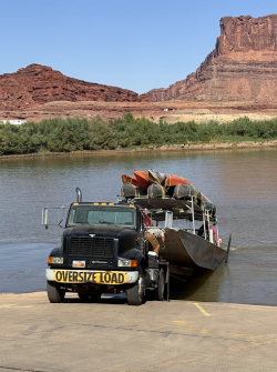
Our final day - we were ready for Tex's to load our stuff (we couldn't believe this guy could load all the boats so effortlessly) and take us back to Moab. The jet boat ride up the Colorado was fun and beautiful!
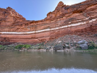
We were fascinated by the bright white ribbon we saw on the lower Green and the corresponding part along the Colorado.
So fun to see Dead Horse Point (top of the cliff in the middle) after having been there a week earlier.
Thelma & Louise point is right up there.
The end. Sad to leave and return to real life at home.
7 of us from Michigan and Maryland headed out to SLC on Sept. 28 and arrived in Moab in time for dinner at yummy 98 Center, which is owned by river guides who worked with our friends on a previous rafting trip in the Grand Canyon. The next day, we spent time in the middle of the day at Tex's Riverways finalizing our rentals and payment. Before then, we had a great morning at Dead Horse Point State Park. I've wanted to go there on other trips but never made it, so I was glad to get there this time and it was especially perfect for this trip, as we'd get to look down on the Colorado a week before jet boating below the same spot at the end of our trip. The rim hike was easy, fun, and had great views of the surrounding canyons.


After taking care of everything at Tex's, my husband realized we could go to Arches for sunset since timed entry permits aren't needed after 4 pm. We got food for a picnic dinner and delighted in the beautiful scenery at the Windows section.


The next morning, Tex's loaded up all our stuff (plus lots of other groups) and drove us to Mineral Bottom. As expected, the last part was quite a ride down! Here are a few bikers coming up.

We were excited to get on the water. My husband and I were the least experienced boaters in the group. Sure, we had canoed & kayaked a few times here and there, but we had never really dealt with river currents before. We purposely chose this time of year rather than spring, knowing it would be less challenging than high, swift spring run-off. I don't think it would have been good for us to go without others; we definitely benefitted from our friends' guidance and instruction.
From our first day on the river to the end of our trip, we never saw a single cloud. It was HOT, but it was easy to cool off in the water and I'm glad we didn't have to contend with rain or cold. We fully expected headwinds coming up the river, but we didn't even have that. Very calm, peaceful days and nights. Beautiful scenery. I took a zillion reflection shots and other photos. Here are a couple from Day 1.


Truck up on the White Rim Road

Our first night's camp was at Fort Bottom.

Putting in to shore was our first experience with something we would experience a lot - quicksandy-mud whenever we needed to stop. My shoes kept getting stuck, especially on Day 2 when I got stuck over and over again.
Anyway, after setting up camp at Fort Bottom, we cooled off in the water for awhile. Then a few of us hiked up to the top to see the ancient structure. We loved the scenery as we were heading up and the fabulous views from the top, made especially beautiful by the setting sun.


On the way back, we checked out Walker cabin from ~1890s.


The night skies were incredible. Because of our trip dates, we had no moon and saw a lot more than we've sometimes seen. With sunset around 7:00, we were already seeing the Milky Way before 8:00. Since there were zero clouds, we slept without our rain fly and I had a great view of the sky from inside the tent. Here are Jupiter, Orion, and so many other fun things to look at as I tossed and turned each night.

Here's our groover, still nice and fresh...

On Day 2, we successfully navigated Millard's Riffles (hooray for planning ahead!) and had hoped to explore Anderson Bottom a bit (Native American remains plus slot canyon) but other boats filled up a spot to get up and we couldn't get across the quicksandy-mud at another spot. We finally gave up on that goal. We had hoped to camp at Upper Cabin camp, but people were there who clearly didn't want to share the area with us, and Lower Cabin was full with multiple groups. So we ended up making do with a beach of sorts at Tuxedo Bottom. No hiking this day and I had gotten stuck in the mud too much. My least favorite day. BUT, the scenery along the river was gorgeous, so I couldn't really complain too much!

Buttes of the Cross


Same rock but viewed from downstream


Late afternoon sun made it hard to see this well. The two-story structure built into the cliff was certainly impressive!

Great views from camp


Morning of Day 3


We paddled just a little bit from camp to a spot where we could get up to Turk's Head. This was more challenging than expected, as we tried a few different places (including from camp) to get through the tamarisk lining the river bank. Finally we found a spot that worked. We enjoyed the granaries, and I would have liked to explore further up there, but others in the group were hot and wanted to get back on the river. Compromise is key!


Lots of flowering datura

I will always stop for flowers

Turks Head and Candlestick Tower

We got back on the river and decided to camp at Deadhorse Canyon, only a few miles downstream. We had realized the previous evening that campsites aren't always available, especially if you arrive late in the day. We had wanted to see Newspaper Rock but hadn't been able to see it the previous day, so we claimed our camp at Deadhorse and then hiked back to see the petroglyphs. The hike was fun (a little spicy for a few in our group) and the art was fantastic!
Rocks along the river - always so interesting

Where we camped at Deadhorse

On our hike up the canyon toward Newspaper Rock

Newspaper Rock

Heading back to camp

We loved these tiny cacti that must have just recently poked through the ground.

I love southern Utah, at a distance and up close...


The mud was fun to crunch through when it was dried.

Because there were no clouds, the shows at sunset and sunrise were always rocks rather than colors in the sky.

A few minutes later

A few minutes later

Our boats at Deadhorse - soooo muddy there (and everywhere)

On Day 4, I was hoping we'd be able to hike from Stove Camp all the way to the confluence overlook. But the group wasn't rushing and we by the time we made camp on the opposite side of the river (a large group was on the desired side - they were nice and said we could try to find space there, but our groups were both too big) and ferried across we only had time to hike to the top and come back down. I was a tiny bit disappointed, but we had some great experiences earlier that day - we watched a heron catch a huge fish and fly wiith it, and we spotted a group of bighorn sheep high on the cliffs and watched that for awhile. Plus the scenery was so beautiful.
Quite a diving board up there! And it had swallow nests that we could see as we went under.


Lots of heron sightings, including one time when there was an enormous swarm of gnats.


On these hot days, we took advantage of shady spots along the water.


Bighorn sheep up on the cliff (zoomed in)

Along the hike up from Stove Canyon - looking upstream and across to the beach where we later set up camp


On the hike to the top

and back down


On Day 5, our final day paddling on the river, we really wanted to get a campsite at Upper Spanish Bottom so we could hike up to the Dollhouse. We knew that Middle and Lower Spanish Bottom were very hard to access, and luck was with us as we got to the registration and saw that there was space at Upper. Hooray! More beautiful scenery along the way, and we were excited to see the confluence with the Colorado.


I couldn't get a good photo of the confluence. We knew to stop here after passing the confluence.

Approaching Spanish Bottom - excited to see the Dollhouse up above

I had originally hoped to hike well beyond the Dollhouse, but it wasn't meant to be. We didn't finish staking out our camp until 2:00, so when we headed up I hoped we'd be able to see the granary as well as the Dollhouse. We did! You can only get to the Dollhouse from the river or from a very slow 4x4 road. We talked to someone who was camping up there who said it took 8 hours to drive 40 miles from Hans Flat. Arriving by river was definitely the right approach for us - and so worth it - fabulous rocks up there!

Such a funny character!


Oh well, not this time - hopefully another time...

Pretty similar to the mural in Moab's 98 Center restaurant.

Fun joints


Phenomenal scenery on the way to the granary. I took videos but should have taken a pano.


Pretty but very pokey

Heading back down - sad to leave


Our final day - we were ready for Tex's to load our stuff (we couldn't believe this guy could load all the boats so effortlessly) and take us back to Moab. The jet boat ride up the Colorado was fun and beautiful!

We were fascinated by the bright white ribbon we saw on the lower Green and the corresponding part along the Colorado.

So fun to see Dead Horse Point (top of the cliff in the middle) after having been there a week earlier.

Thelma & Louise point is right up there.

The end. Sad to leave and return to real life at home.

