piper01
Member
- Joined
- Oct 27, 2013
- Messages
- 182
Oct 11-12, 2016
Continuation from part 1
****
After a full day of paddling the previous day, my agenda for today involved keep my feet in contact with the ground. My goal: bushwacking up Davis Canyon to Bement Arch.
Morning view from camp
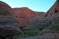
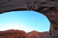
The first annoyance of the day: while packing my daypack, I discovered I lost my hat sometime yesterday between beaching my boat and reaching my campsite. Grrr.
Lower Davis Canyon is quite lovely, albeit overgrown. The hiking was enjoyable when it was an easy walk in the streambed.
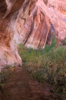
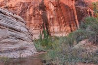
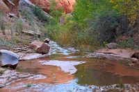
Some vegetation to deal with, but not bad yet.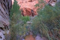
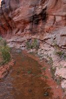
Soon I hit the second annoyance of the day: the first beaver dam, of many. Time to leave the waterway and start thrashing through vegetation.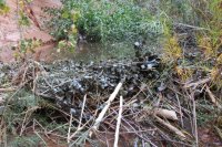
Quickly followed by another dam.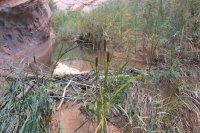
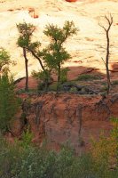
My favorite trees in the canyon
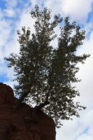
A short section of easy walking opened up again
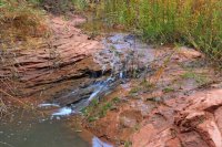
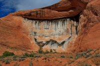
Canyon wall. I wonder if there's anything interesting in that cave
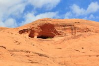
Large silty terraces bordered the stream bed in many places
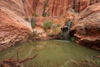
Surprise- another waterfall!
Another short stretch of easy walking, a welcome respite from fighting my way through tamarisk and reeds on one of the many bypasses around the beaver pools. I didn't take any pictures of the difficult bits- too busy getting through them.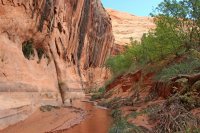
The occupants must be around here somewhere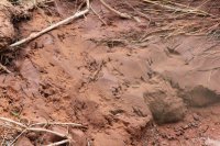
Petroglyphs
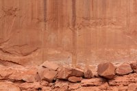
Though on closer examination, something felt slightly off about them. Thoughts? There was a clearly modern stick-figure drawn nearby.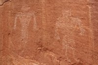
Lovely pattern in the canyon wall
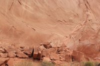
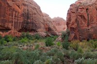
Looking upcanyon. This was not the most enjoyable hike with all the greenery to fight my way through, but I was halfway to my destination and not about to turn around.
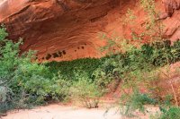
Ferns coating a water seep
On top of one of the side terraces. One of the most enjoyable areas to hike in this canyon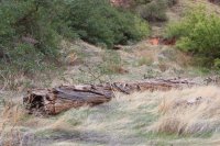
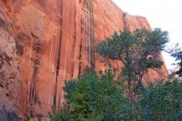
Some autumn colors
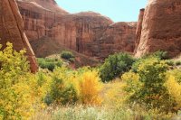
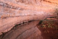
Bathtub rings all the way up here
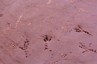
Footprints in the sand
At last, Bement Arch!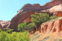
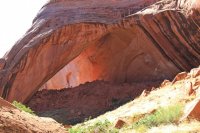
Similar looking shape to Broken Bow Arch from this angle, except more rockfall under it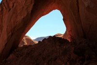
View upcanyon from the arch. Looks to be another massive alcove in the distance, but I had done enough bushwacking just getting to the arch so I didn't go check it out.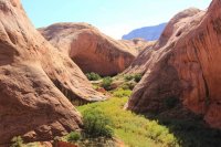
For all the effort put into reaching Bement Arch, I didn't stay as long as I would have liked, due to my concern about the time it had taken me to reach it and my desire to return to camp before dark. Fortunately, the return trip only took half as long since I remembered many of the detours around dams and didn't have to spend time searching for a route. Also, going with the flow of the tamarisk, reeds, and other vegetation angled downstream was so much easier than fighting my way upstream against them. I put my camera away and just ploughed my way through.
Neat pattern on the lower canyon wall, near camp
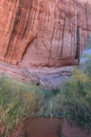
Back to my ledge. Can just barely see my backpack tucked away at the back when coming from upstream, and it was hidden from the downstream side.
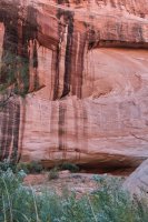
While I love the Escalante area, the noise from the frequent airplanes overhead and the many jet trails reduce the feeling of solitude.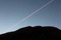
The next morning I headed back to the lake, keeping a close eye out for my missing hat. Alas, it was gone. Davis Canyon strikes again.
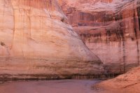
Nearly out of Davis Canyon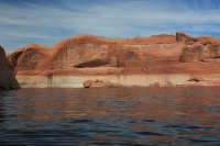
Woo hoo, made it over to Fifty Mile! The character of this canyon was immediately different from Davis- many more twists and turns.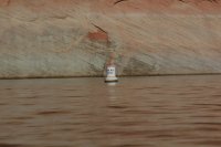
I pulled ashore to explore the giant alcove.
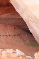
Look, there's Gregory Natural Bridge! Err....right there, under the water, you'll have to use your imagination.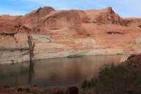
A natural garden at the back of the alcove.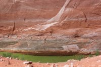
Looking out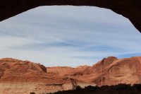
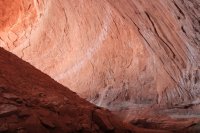
Ferns on the alcove wall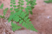
The garden (in the lower right)
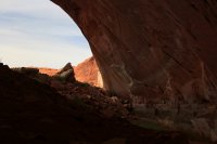
As I emerged from the alcove, I heard someone calling "hello! hello!" from the shore. It turned out to be a boat of women who had passed me earlier. They had seen my empty raft pulled ashore with me nowhere in sight and were concerned. All was ok, so we chatted for a bit while I enjoyed the cold refreshing beverage they gave me. They offered to take me back to their houseboat for a hot lasagna dinner and drop me back off in the morning. Tempting, but I declined; I had other plans. After tossing me a few more beverages to enjoy with dinner and the promise of a steak sandwich if they happened to come across me the next day, we parted ways.
The walls of Fifty Mile soon narrowed and gained more character.
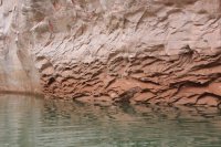
Lots of places to pull ashore if desired.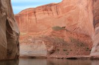
Narrow passageway on the left
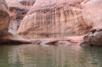
The walls narrowed more. My water bottle was empty, so I paused to filter more water before the lake water became even siltier. I brushed some wood chips off the water surface...wait, wood chips? I had seen those a few days before in Bishop Canyon. Uh oh.
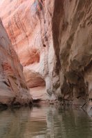
Yep, there was a layer of mulch and sticks coating the water surface. Scouting ahead from a ledge on the side, I was able to see it was a patch maybe 50-100' long of mainly small debris, so a bit nerve racking but nothing too dangerous.
I found a long stick to clear a path in front of my raft and (this is hard to describe, the following may not make sense) stuck my legs over the side toes-up so that the soles of my sandals would push away sticks coming from the side, then rested a thicker branch across each ankle with the ends crossed under the front of my boat (like a cow-catcher on a train) to catch any shallow underwater branches before I impacted them. Brilliant! Ok, the second part was complete overkill here, but in hindsight this strategy may have gotten me through the mess in Bishop Canyon. Too bad I didn't have time to go back and try it out.
End of the lake, looking back at the clear path I made on the left.
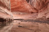
View from the same spot, looking up-canyon.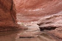
I left my boat and pack for the time being and walked up-canyon to scout out a campsite.
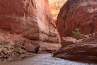
Fresh ripple marks, marred only by two sets of footprints off to the side. The debris field must have deterred most boaters.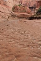
Though someone else had been walking in the canyon recently.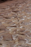
Wood chips marking the progressive decline in water level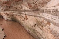
About 5 min upstream from the lake's end, I found a flat sand bar on the side of the waterway, with a natural spring pouring out of the rock another minute beyond that. Perfect! I scurried back to retrieve my gear and set up camp.
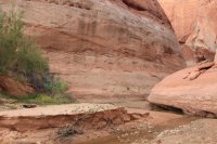
Late afternoon light
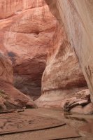
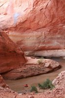
Exploring the alcove above my boat.
A piece of graffiti in the alcove reading "no graffiti"? Someone didn't think that one through.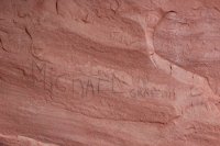
My bedtime view: the nearly full moon illuminating the clouds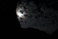
To be continued...
Continuation from part 1
****
After a full day of paddling the previous day, my agenda for today involved keep my feet in contact with the ground. My goal: bushwacking up Davis Canyon to Bement Arch.
Morning view from camp


The first annoyance of the day: while packing my daypack, I discovered I lost my hat sometime yesterday between beaching my boat and reaching my campsite. Grrr.
Lower Davis Canyon is quite lovely, albeit overgrown. The hiking was enjoyable when it was an easy walk in the streambed.


Some vegetation to deal with, but not bad yet.


Soon I hit the second annoyance of the day: the first beaver dam, of many. Time to leave the waterway and start thrashing through vegetation.

Quickly followed by another dam.

My favorite trees in the canyon

A short section of easy walking opened up again

Canyon wall. I wonder if there's anything interesting in that cave

Large silty terraces bordered the stream bed in many places


Surprise- another waterfall!

Another short stretch of easy walking, a welcome respite from fighting my way through tamarisk and reeds on one of the many bypasses around the beaver pools. I didn't take any pictures of the difficult bits- too busy getting through them.

The occupants must be around here somewhere

Petroglyphs

Though on closer examination, something felt slightly off about them. Thoughts? There was a clearly modern stick-figure drawn nearby.

Lovely pattern in the canyon wall

Looking upcanyon. This was not the most enjoyable hike with all the greenery to fight my way through, but I was halfway to my destination and not about to turn around.

Ferns coating a water seep

On top of one of the side terraces. One of the most enjoyable areas to hike in this canyon

Some autumn colors

Bathtub rings all the way up here


Footprints in the sand

At last, Bement Arch!


Similar looking shape to Broken Bow Arch from this angle, except more rockfall under it

View upcanyon from the arch. Looks to be another massive alcove in the distance, but I had done enough bushwacking just getting to the arch so I didn't go check it out.

For all the effort put into reaching Bement Arch, I didn't stay as long as I would have liked, due to my concern about the time it had taken me to reach it and my desire to return to camp before dark. Fortunately, the return trip only took half as long since I remembered many of the detours around dams and didn't have to spend time searching for a route. Also, going with the flow of the tamarisk, reeds, and other vegetation angled downstream was so much easier than fighting my way upstream against them. I put my camera away and just ploughed my way through.
Neat pattern on the lower canyon wall, near camp

Back to my ledge. Can just barely see my backpack tucked away at the back when coming from upstream, and it was hidden from the downstream side.

While I love the Escalante area, the noise from the frequent airplanes overhead and the many jet trails reduce the feeling of solitude.

The next morning I headed back to the lake, keeping a close eye out for my missing hat. Alas, it was gone. Davis Canyon strikes again.

Nearly out of Davis Canyon

Woo hoo, made it over to Fifty Mile! The character of this canyon was immediately different from Davis- many more twists and turns.

I pulled ashore to explore the giant alcove.

Look, there's Gregory Natural Bridge! Err....right there, under the water, you'll have to use your imagination.

A natural garden at the back of the alcove.

Looking out


Ferns on the alcove wall

The garden (in the lower right)

As I emerged from the alcove, I heard someone calling "hello! hello!" from the shore. It turned out to be a boat of women who had passed me earlier. They had seen my empty raft pulled ashore with me nowhere in sight and were concerned. All was ok, so we chatted for a bit while I enjoyed the cold refreshing beverage they gave me. They offered to take me back to their houseboat for a hot lasagna dinner and drop me back off in the morning. Tempting, but I declined; I had other plans. After tossing me a few more beverages to enjoy with dinner and the promise of a steak sandwich if they happened to come across me the next day, we parted ways.
The walls of Fifty Mile soon narrowed and gained more character.

Lots of places to pull ashore if desired.

Narrow passageway on the left

The walls narrowed more. My water bottle was empty, so I paused to filter more water before the lake water became even siltier. I brushed some wood chips off the water surface...wait, wood chips? I had seen those a few days before in Bishop Canyon. Uh oh.

Yep, there was a layer of mulch and sticks coating the water surface. Scouting ahead from a ledge on the side, I was able to see it was a patch maybe 50-100' long of mainly small debris, so a bit nerve racking but nothing too dangerous.
I found a long stick to clear a path in front of my raft and (this is hard to describe, the following may not make sense) stuck my legs over the side toes-up so that the soles of my sandals would push away sticks coming from the side, then rested a thicker branch across each ankle with the ends crossed under the front of my boat (like a cow-catcher on a train) to catch any shallow underwater branches before I impacted them. Brilliant! Ok, the second part was complete overkill here, but in hindsight this strategy may have gotten me through the mess in Bishop Canyon. Too bad I didn't have time to go back and try it out.
End of the lake, looking back at the clear path I made on the left.

View from the same spot, looking up-canyon.

I left my boat and pack for the time being and walked up-canyon to scout out a campsite.

Fresh ripple marks, marred only by two sets of footprints off to the side. The debris field must have deterred most boaters.

Though someone else had been walking in the canyon recently.

Wood chips marking the progressive decline in water level

About 5 min upstream from the lake's end, I found a flat sand bar on the side of the waterway, with a natural spring pouring out of the rock another minute beyond that. Perfect! I scurried back to retrieve my gear and set up camp.

Late afternoon light

Exploring the alcove above my boat.

A piece of graffiti in the alcove reading "no graffiti"? Someone didn't think that one through.

My bedtime view: the nearly full moon illuminating the clouds

To be continued...
