- Joined
- Dec 23, 2013
- Messages
- 4,116
Every few years, I get a hankering to leave the more popular and well traveled trail to the south summit of Olympus and head up to the north summit instead. My daughter, who had never been to the north summit before decided to join me. Since we are having such great fall weather here in Salt Lake City we decided to give it a try.
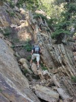
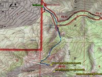
The route we chose begins at the Neff's Canyon Trailhead and follows the dirt road past the water tank and on to the North's Fork where you turn up the old service road to reach the Mount Olympus Spring. After the spring, continue on up the trail until you have just passed Neff's Knob. At this point, look for a not so obvious trail off to the right. This trail eventually drops down into a rocky drainage which leads you up the second couloir from the north. If you continue up the main trail instead of turning off, this will lead you into a different couloir and a much more difficult (exposure) hike. Follow the drainage up to the head of the couloir where at this point you will contour around the slope until you reach a very steep wash. Once in the wash, you can scramble up to the ridge. After reaching the ridge, head east along it until you reach a cliff where you then have to down climb. At the end of the down climb, you will find yourself at the bottom of a chute that leads directly to the north summit.
The trip ended up taking us most of the day. We left the trailhead at 8:15 am and returned to our car at 5:45 pm as it was getting dark. The hike up was all in the shadow of the north summit. Once we hit the ridge, it was sunny and a spectacular day. We enjoyed lunch on top before heading back the way we had come.
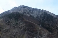
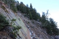
Looking up at the north summit of Mount Olympus
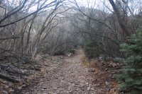
Old service road heading towards Mount Olympus Spring
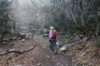
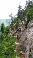
Katie making her way along the main trial
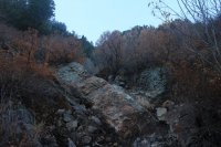
Dropped down into the drainage that will take us to the top of the couloir
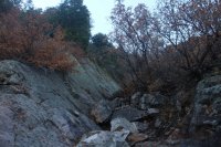
The route
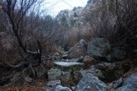
The route
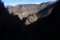
Looking down at Neff's Knob with Grandeur Peak off in the distance at the upper left
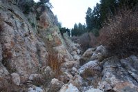
The route up the couloir
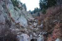
The route
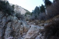
The route
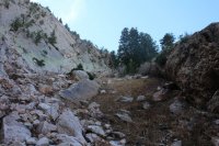
The route - nearing the top of the couloir
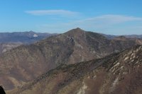
Grandeur Peak from the top of the couloir
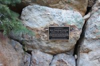
A plaque in remembrance of a woman who slipped and slid down a wash 1000 feet to her death back in 2009. My daughter spotted this along the way
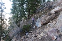 Katie, contouring across the slope - heading towards the wash that leads to the ridge
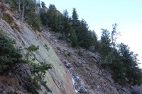
Approaching the wash
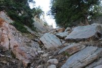
Heading up the wash to the ridge
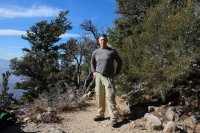
On the ridge
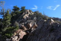
Looking east along the ridge
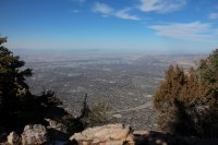
Nice view of the Salt Lake Valley
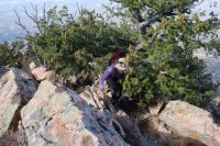
Katie having some trouble with the trees as she makes her way along the ridge
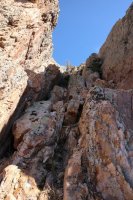
Looking up the chute after the down climb
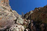
About halfway up the chute
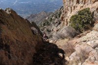
Katie making her way up the chute
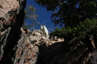
Mountain goats looking down on us from the top of the chute. "You shall not pass!"
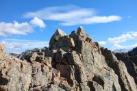
North summit of Mount Olympus
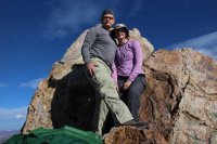
On top
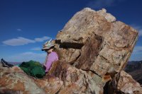
Enjoying lunch
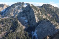
Triangle Peak
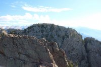
Looking over at the south summit of Mount Olympus
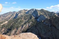
Wildcat Ridge
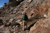
On our way down - I'm getting ready to climb up what we had down climbed to reach the chute
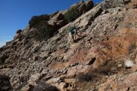
On my way up
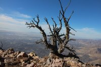
Dead tree on the ridge
The route we chose begins at the Neff's Canyon Trailhead and follows the dirt road past the water tank and on to the North's Fork where you turn up the old service road to reach the Mount Olympus Spring. After the spring, continue on up the trail until you have just passed Neff's Knob. At this point, look for a not so obvious trail off to the right. This trail eventually drops down into a rocky drainage which leads you up the second couloir from the north. If you continue up the main trail instead of turning off, this will lead you into a different couloir and a much more difficult (exposure) hike. Follow the drainage up to the head of the couloir where at this point you will contour around the slope until you reach a very steep wash. Once in the wash, you can scramble up to the ridge. After reaching the ridge, head east along it until you reach a cliff where you then have to down climb. At the end of the down climb, you will find yourself at the bottom of a chute that leads directly to the north summit.
The trip ended up taking us most of the day. We left the trailhead at 8:15 am and returned to our car at 5:45 pm as it was getting dark. The hike up was all in the shadow of the north summit. Once we hit the ridge, it was sunny and a spectacular day. We enjoyed lunch on top before heading back the way we had come.

Looking up at the north summit of Mount Olympus

Old service road heading towards Mount Olympus Spring

Katie making her way along the main trial

Dropped down into the drainage that will take us to the top of the couloir

The route

The route

Looking down at Neff's Knob with Grandeur Peak off in the distance at the upper left

The route up the couloir

The route

The route

The route - nearing the top of the couloir

Grandeur Peak from the top of the couloir

A plaque in remembrance of a woman who slipped and slid down a wash 1000 feet to her death back in 2009. My daughter spotted this along the way
 Katie, contouring across the slope - heading towards the wash that leads to the ridge
Approaching the wash

Heading up the wash to the ridge

On the ridge

Looking east along the ridge

Nice view of the Salt Lake Valley

Katie having some trouble with the trees as she makes her way along the ridge

Looking up the chute after the down climb

About halfway up the chute

Katie making her way up the chute

Mountain goats looking down on us from the top of the chute. "You shall not pass!"

North summit of Mount Olympus

On top

Enjoying lunch

Triangle Peak

Looking over at the south summit of Mount Olympus

Wildcat Ridge

On our way down - I'm getting ready to climb up what we had down climbed to reach the chute

On my way up

Dead tree on the ridge
Last edited:

