Udink
Still right here.
- Joined
- Jan 17, 2012
- Messages
- 1,734
March 25-26, 2022
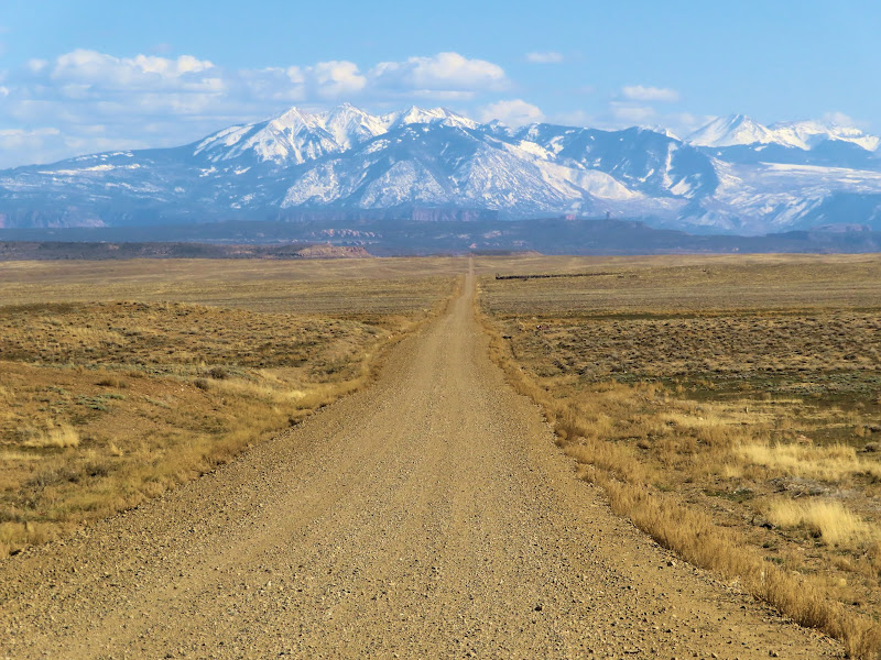
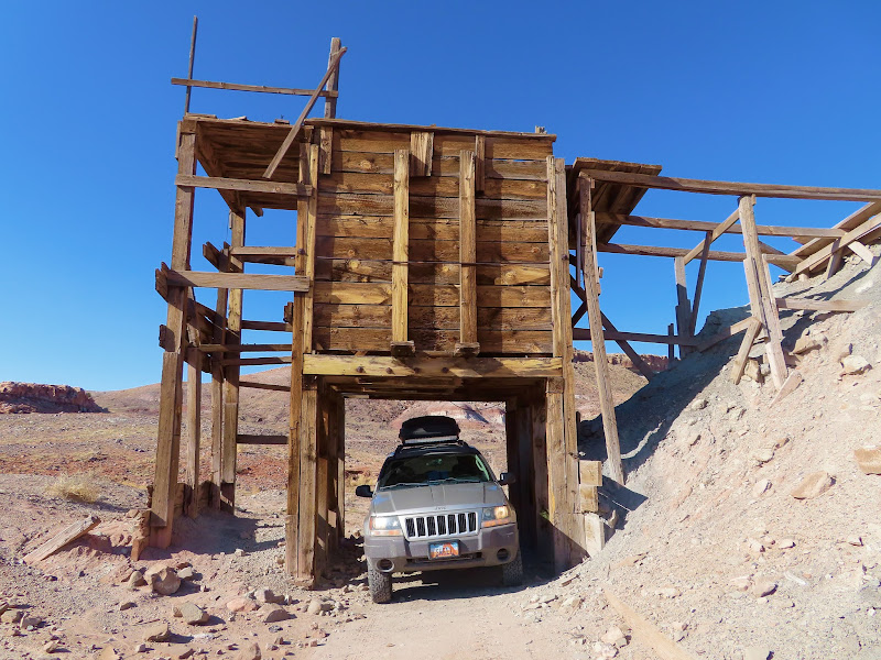
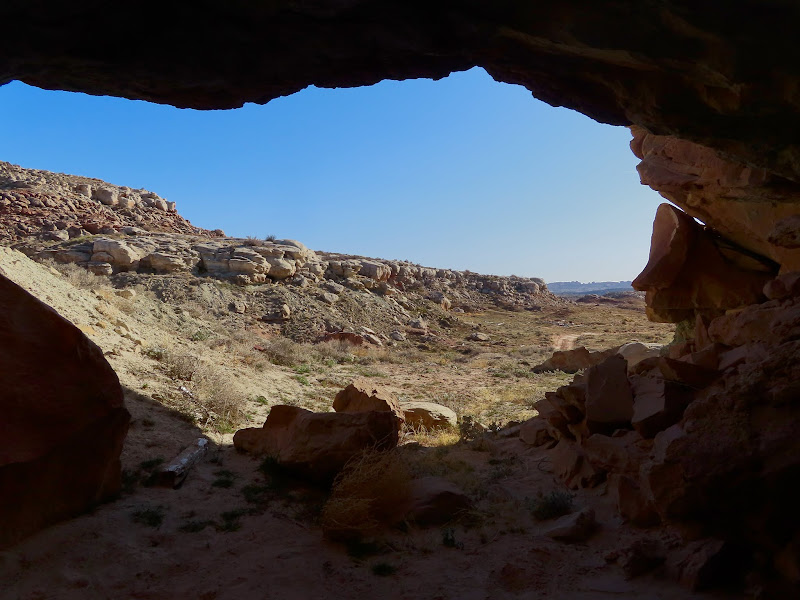
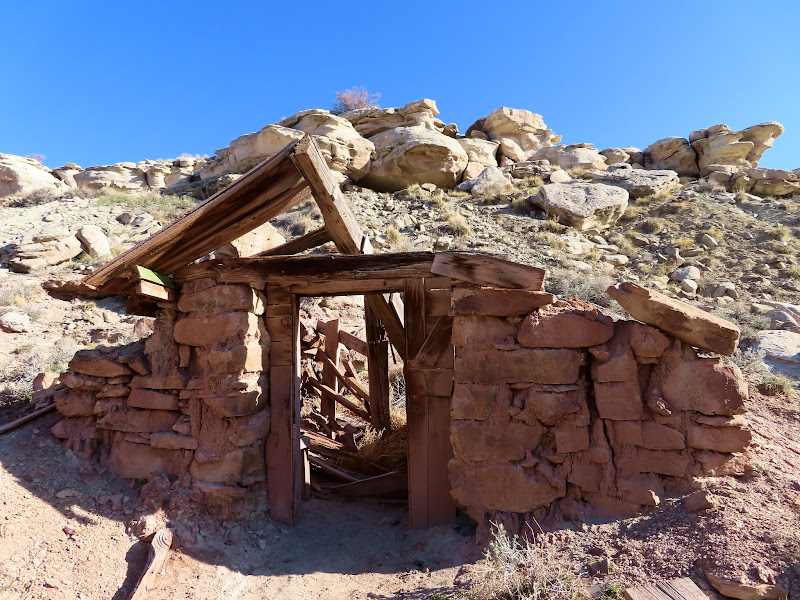
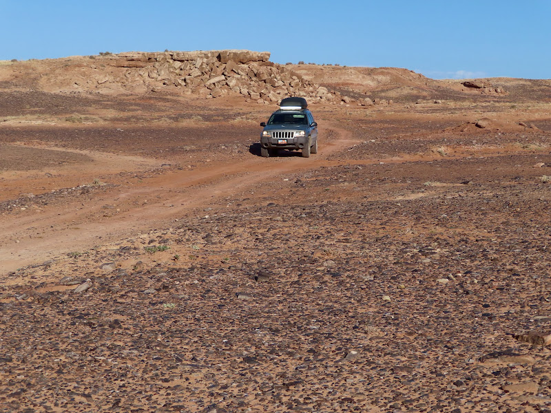
I regret not getting out into the desert enough this spring, since I ended up cutting this trip short due to the heat. My plan was to spend a couple of days and nights exploring in and around the north end of Arches National Park. I'd never been to the Yellow Cat area so on Friday after work I drove around checking out some abandoned mines. I made several stops and walked around a bit, and then headed toward my intended camp spot.
Yellow Cat Road and the La Sals
Mining structure along the Poison Strip
View from inside a sealed adit
Ruined building at Parco Mines
Mars rover
Mollie Hogans
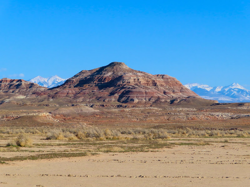
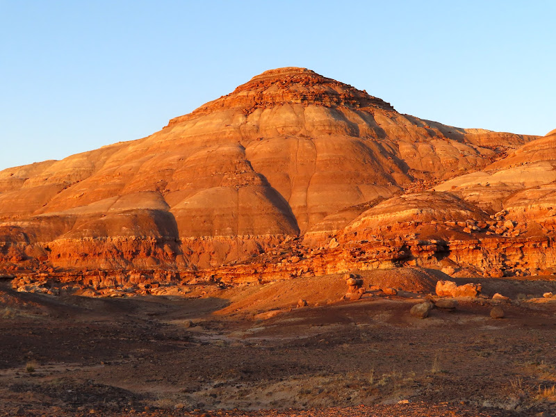
Mount Waas
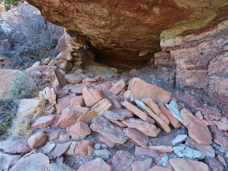
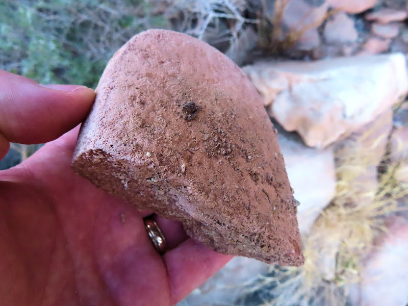
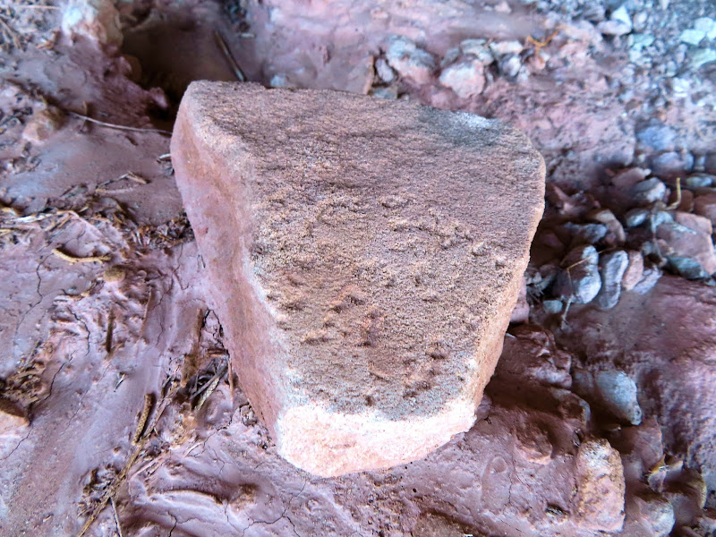
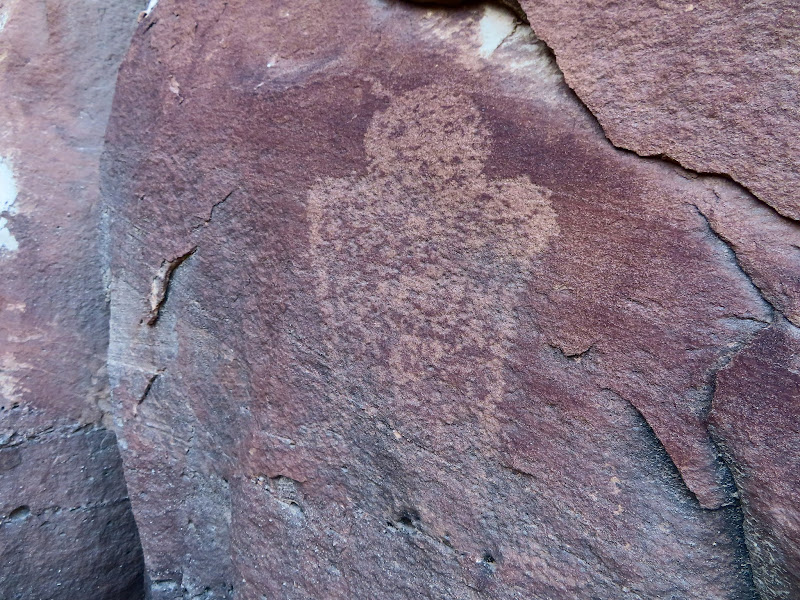
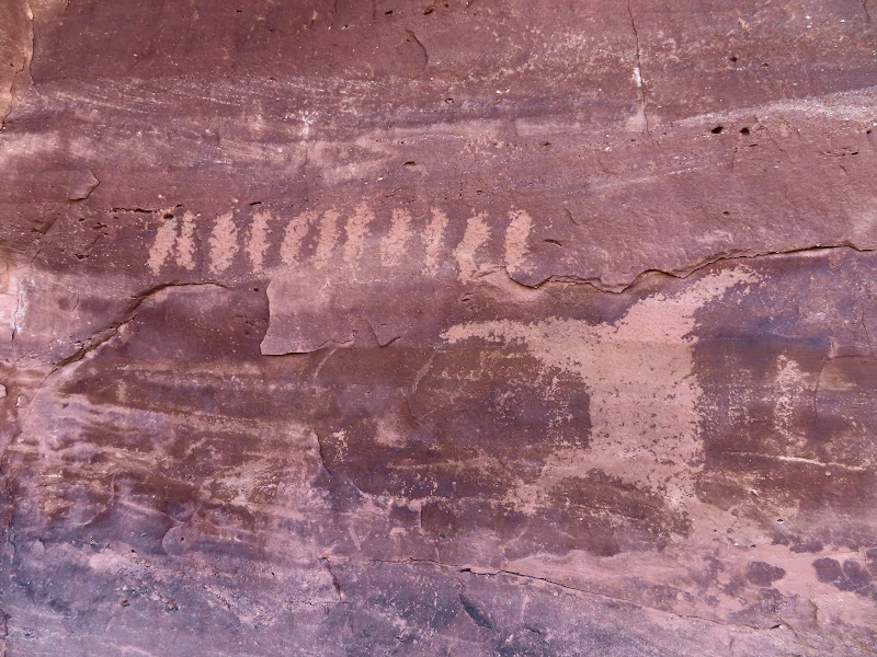
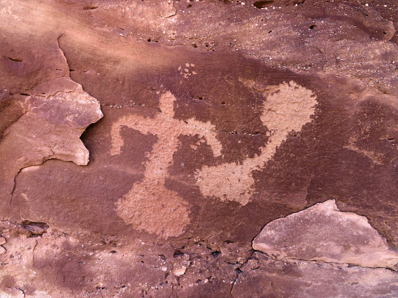
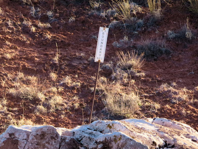
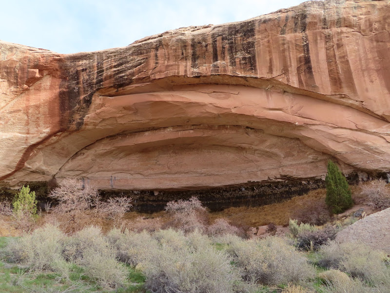
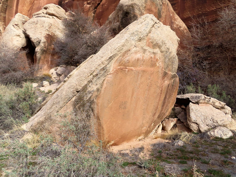
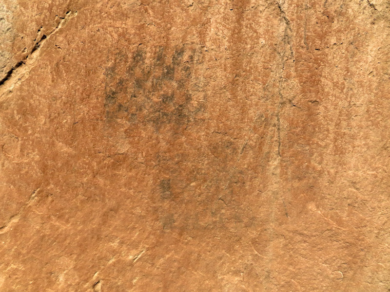
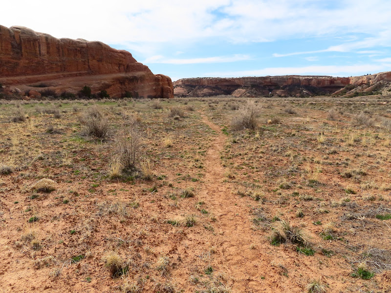
My brief exploration of the mining areas took less time than I expected, so when I got to where I'd planned on camping I decided to do the hike I was saving for the morning. It wasn't a very long hike, taking me right up to the boundary of Arches where there were some petroglyphs somebody had told me about years ago. He'd sent me photos of the rock art, but when I got to the area and started searching the cliffs, I first found an unexpected single petroglyph (possibly Barrier Canyon Style?) and the partially collapsed walls of a rock shelter. There were several broken pieces of ground stone among the rubble of the rock wall. I continued along the cliff band and found the petroglyphs I was expecting, less than 100 feet outside the park. I hiked a different route back to the Jeep and ran across some dense lithic scatter all over the top of the mesa.
Possible rock shelter
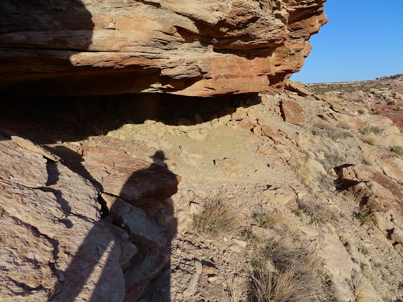
Definite rock shelter
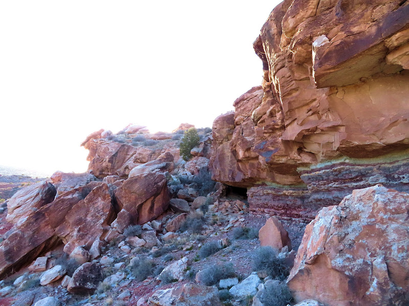
Fallen rock wall
Broken mano
Broken metate
Petroglyph, possibly Barrier Canyon Style?
Lines and an unusual figure
Petroglyphs
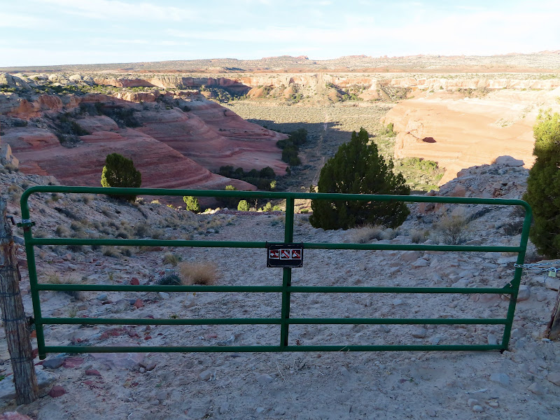
Arches boundary
Lithic flakes littering the ground
The sun still hadn't set when I returned so I decided to skip camping at this spot and drive toward the next day's destination. I hadn't planned on camping near there so I didn't know what to expect, and I was disapointed to find very few places to camp, and each of them was already occupied. I ended up driving about six miles away to the Highlands before finding a decent spot. Although it was warm enough outside there were bothersome cedar gnats and a lot of moths, so I holed up in the Jeep and read a book through the evening.
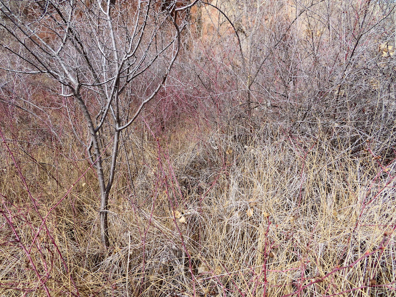
Morrison Formation hills near sunset
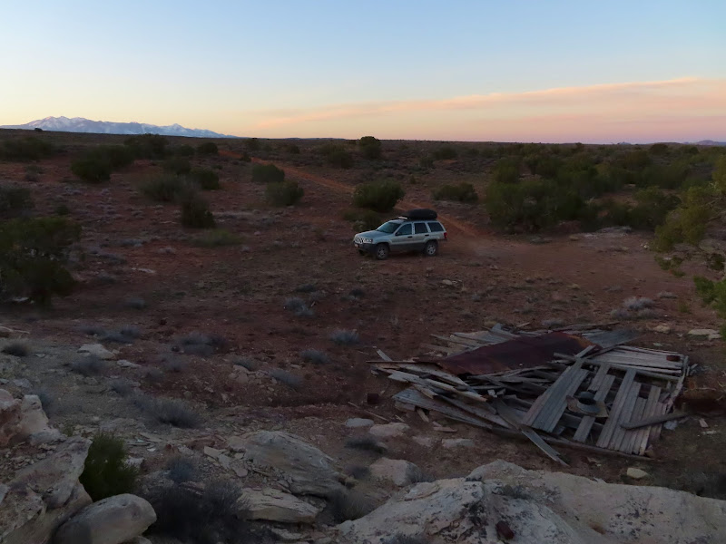
Camp at the Highlands
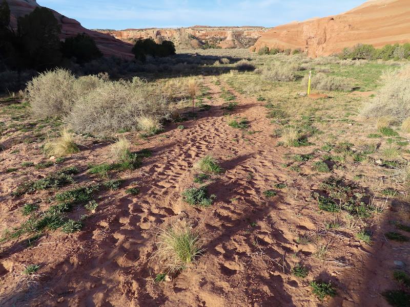
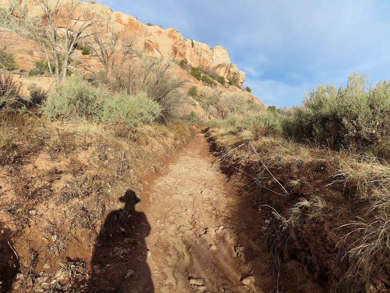
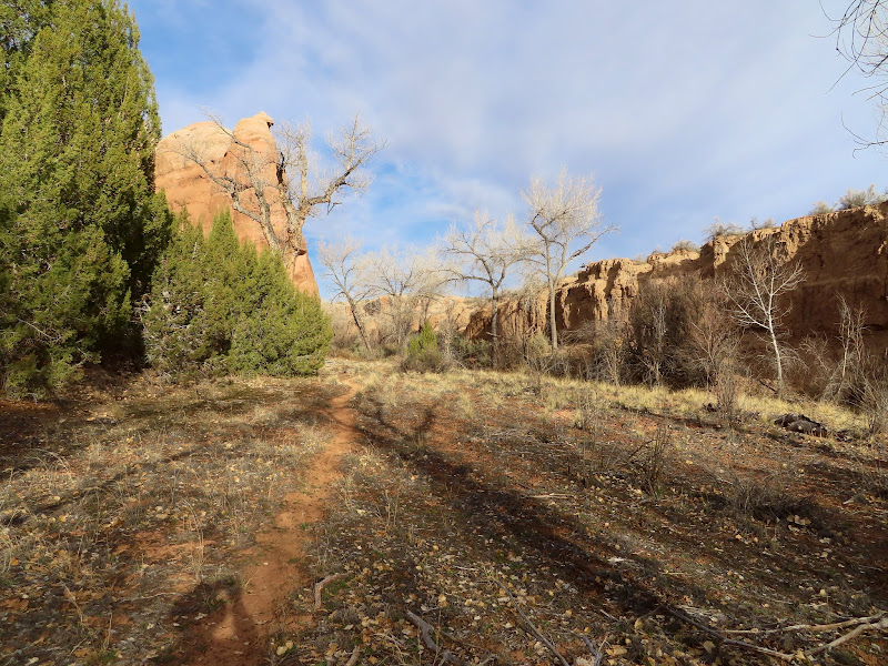
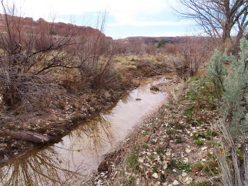
I was awake at 7AM on Saturday and ate a quick breakfast then headed toward Salt Wash, where I wanted to get into Cordova Canyon to see an old ranch house. It was a very pleasant morning and the hiking was easy, and I spent six hours inside the park without seeing another person despite it being "full" and the NPS temporarily shutting down the entrance station at 10AM. I hiked down the natural gas pipeline that cuts through the park and was surprised to see so many human footprints. I started to question whether this area was really lesser-traveled as I'd assumed, but by the time I got to Salt Wash there were zero recent tracks. I was also surprised to see so many cow pies--they were pretty much everywhere along my entire hike. There must have been an accidental incursion of cattle a year or two back.
Pipeline trail leading into Salt Wash
Lots of footprints
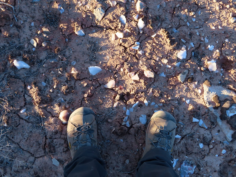
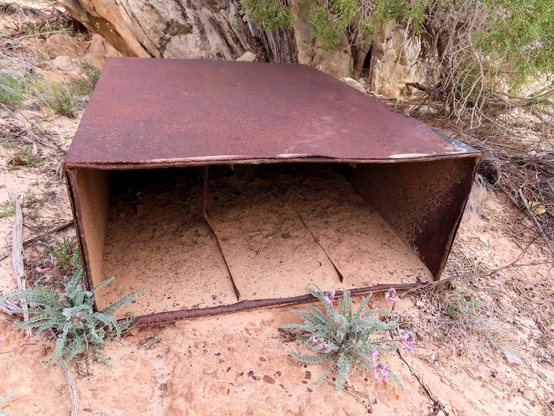
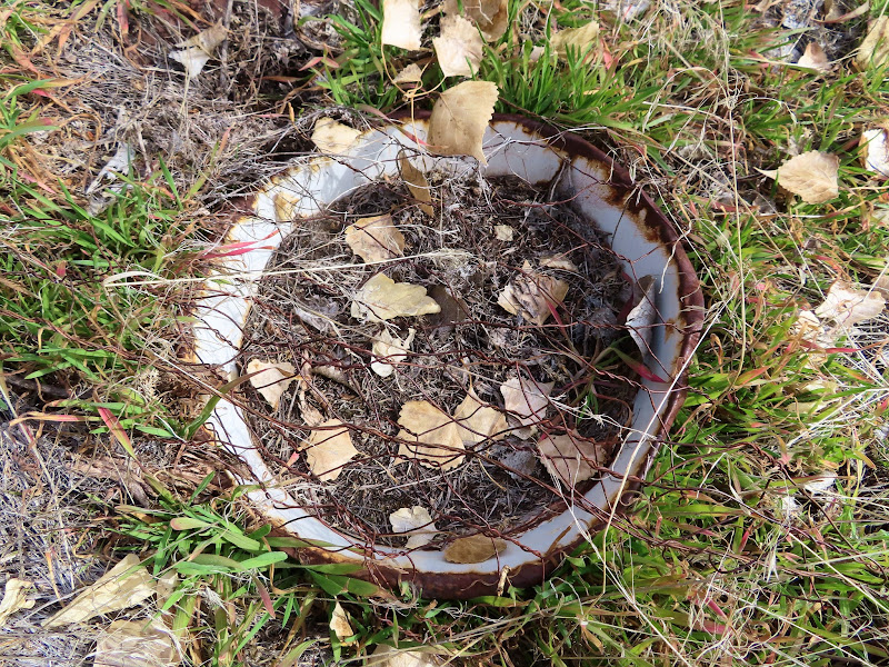
Artifact protected by the National Park Service
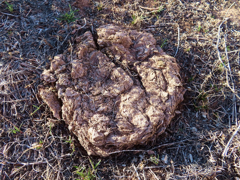
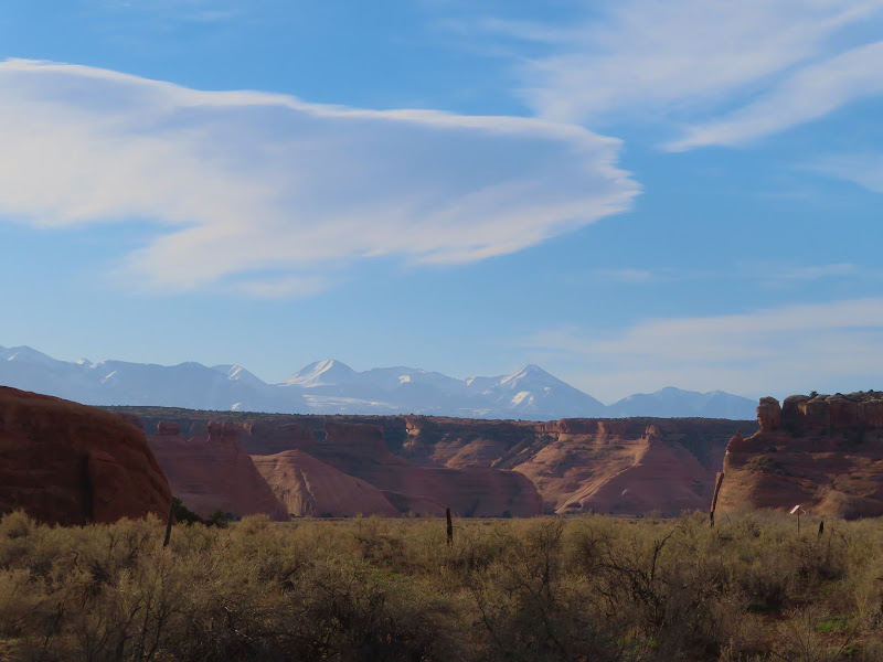
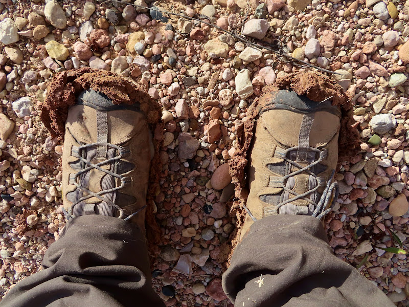
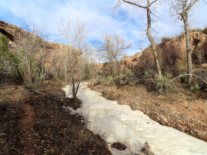
Right were the little side canyon met Salt Wash there was a fence and a few inscriptions. One was in nice cursive writing but had mostly eroded away and I couldn't make it out. I crossed the canyon and started up Cordova Canyon. It looked like the easiest way in would be to just walk up the watercourse, but I soon found out it was quite muddy under the very thin top layer of dirt. I had to keep going until I could find a place to easily climb out with slippery soles, then found an old trail to follow. Water was running in most of the watercourse and I had to cross it several times and got my shoes wet. I paused at some old scat on the trail, thinking it might be from a bear, but the volume was much too low and it was probably a coyote. There were fresh coyote tracks all around, but really no other recent tracks to speak of.
An illegible cursive inscription
La Sal Mountains over Salt Wash
Into the watercourse of Cordova Canyon
Muddy shoes
Old trail in Cordova Canyon
Lingering snow
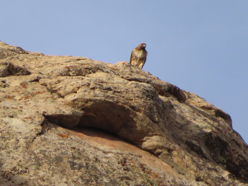
Golden eagle(?)
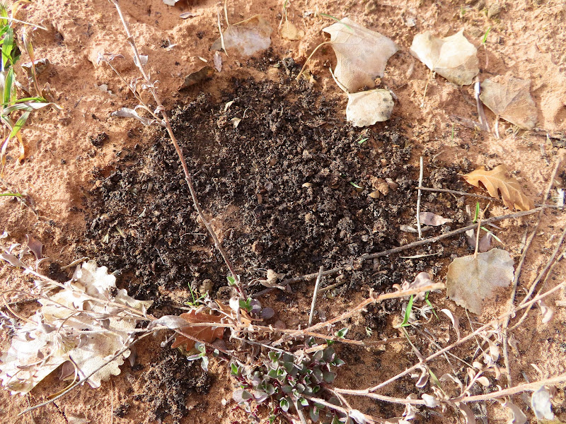
Old scat containing pinyon pine shells
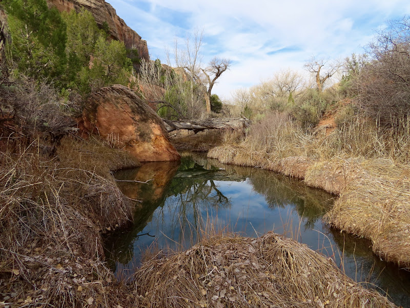
Very deep pool
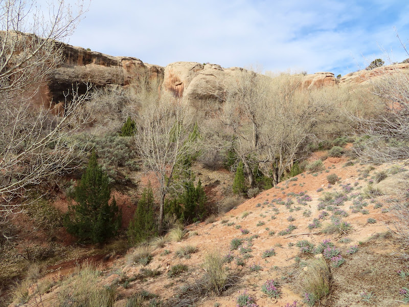
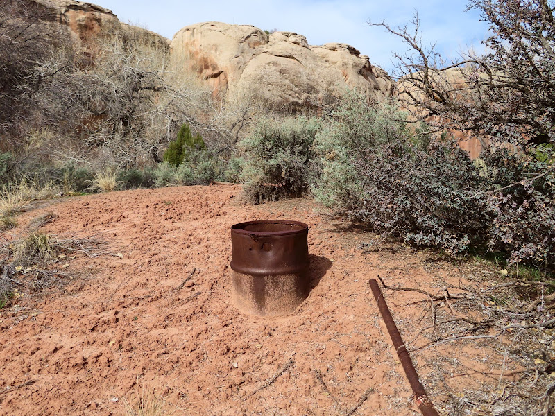
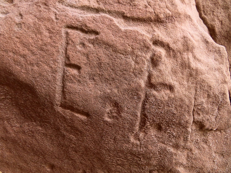
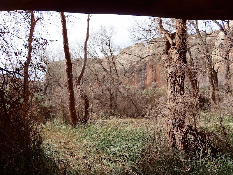
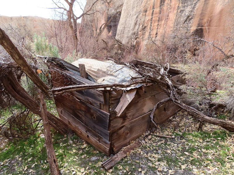
As I approached the head of the canyon I started seeing more signs of humans: first a fence, then a boulder with a checkerboard pattern drawn on it in charcoal, a corral, a metal box, and a barrel and water pipe that appeared to be part of a watering system. When I was a few hundred feet from the ranch house I heard an animal make a sound. I don't even remember exactly what it sounded like, but it wasn't anything familiar. It was somewhat guttural, definitely something a large mammal would make and not like a badger or raccoon or even coyote. My first thought was deer or cow (there was plenty of old sign from both in the area), but as I got closer to the dense brush and trees surrounding the house I decided to play it safe and not box-in whatever it was. If I had kept on the same approach the animal would have been cornered in a box canyon. I backtracked a bit, then headed north and hugged the north wall of the canyon while walking west, which would give the animal an easy out to the south or east as I approached again. I made plenty of noise as I hiked and came across an old chicken coop. I stopped there at the edge of a steep gully with no way for me to traverse it on the way to the house. I could hear the animal still making noises, not with its mouth this time but with footsteps in the dead leaves. Since I couldn't get across the gully, I returned toward my original approach. I got a little closer to the house this time, even though I couldn't see it through the dense thicket. I stopped just before entering the thicket and could still hear the damn thing walking around. It sounded just like human footfalls in the leaf litter. I hadn't seen any movement until that point, but then I saw something dark moving. It was either something raccoon-sized on what appeared to be a partially fallen tree trunk, <i>or</i> it was something much larger behind the trunk. I decided then to just GTFO of there. My handgun was back in my Jeep and I wasn't about to get mired in the brush with the possibility of a bear nearby. Even if I'd had my gun I would have left, but maybe I wouldn't have been shaking so badly. I retreated through the less dense sagebrush and didn't feel at ease until I had several hundred feet of clear trail behind me.
Fence across Cordova Canyon
Large, shallow alcove with a seep
Boulder with checkerboard pattern
Two checkerboard patterns
Corral poles tied to a tree
Metal box
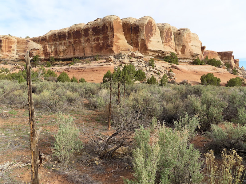
The head of Cordova Canyon
Barrel and water pipe
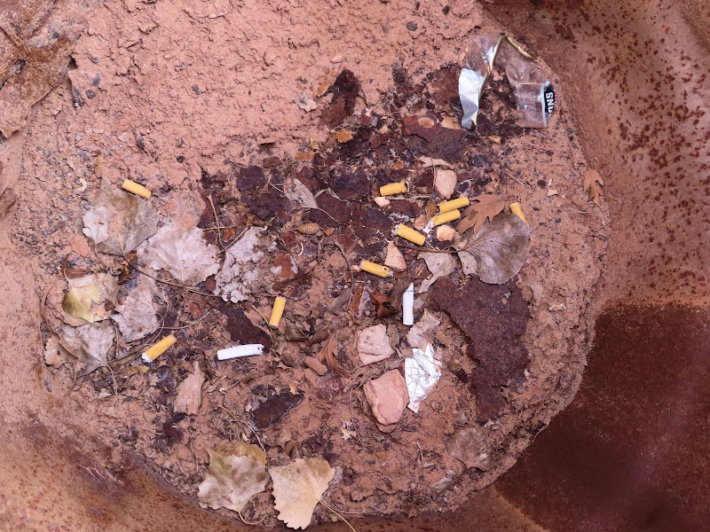
Cigarette butts in the barrel
Carvings on a large boulder
Old-looking E.F. inscription
View from the spring
Chicken coop
Water or feed dish
Dense, thorny brush
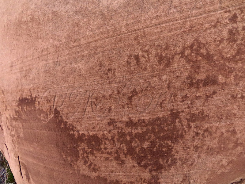
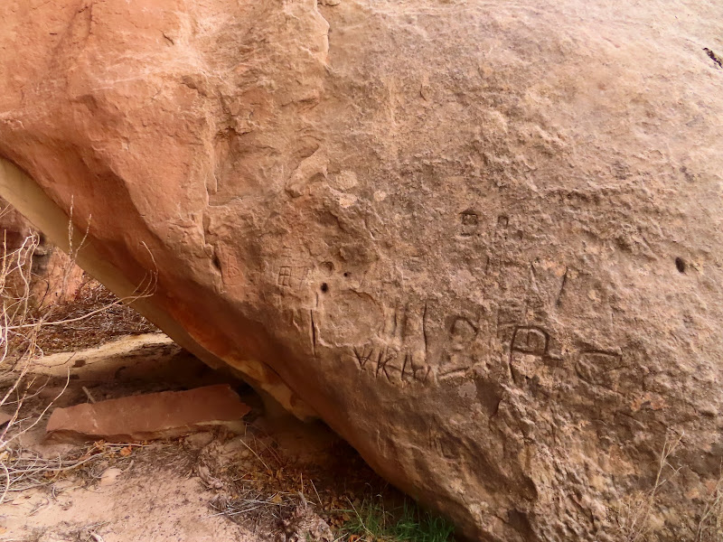
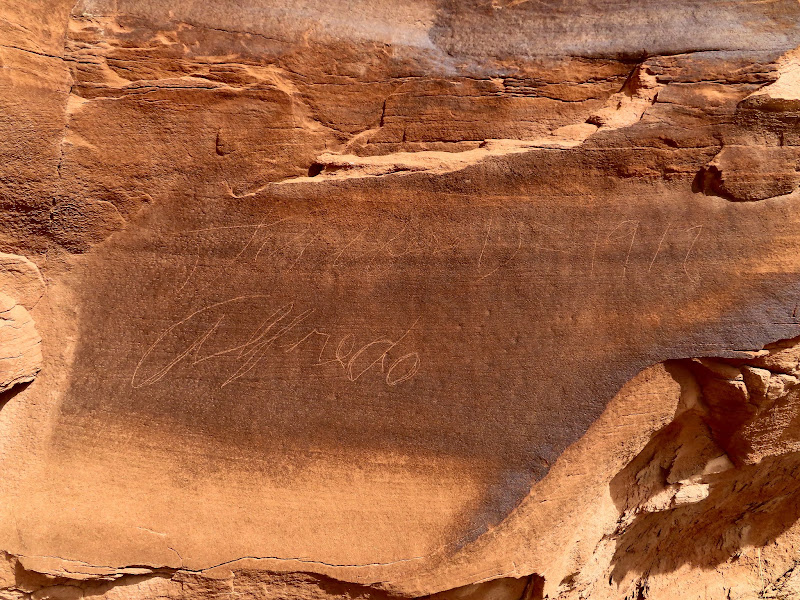
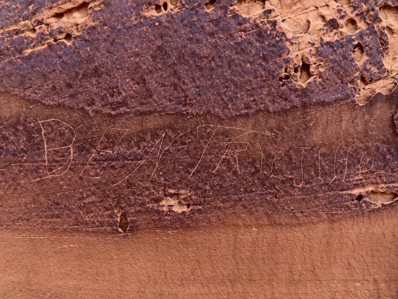
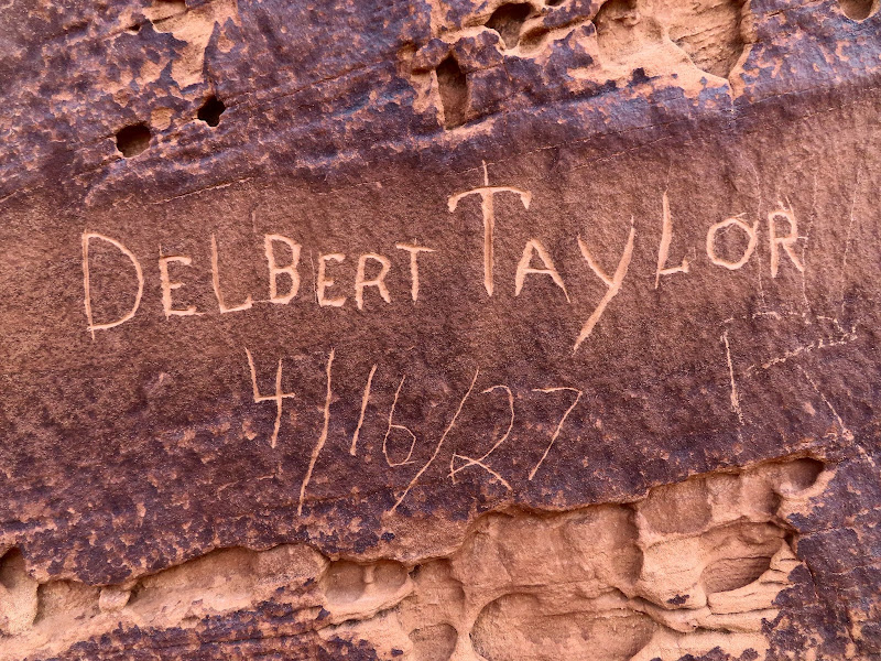
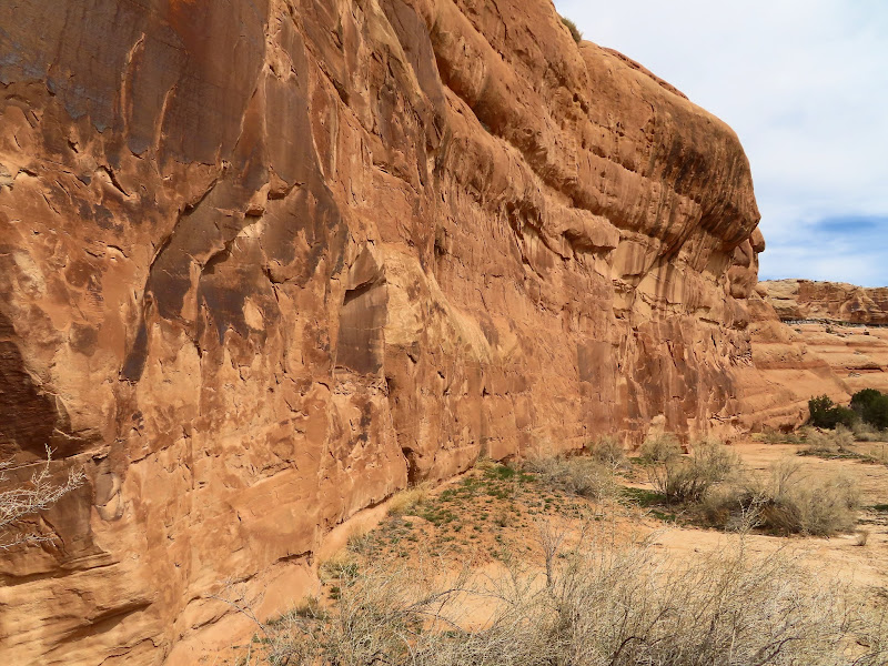
Going back to Salt Wash I took a different route, staying high up on the sagebrush flat following cow trails. Even there I saw zero signs of bears, nor any recent signs of other large animals. It'll always irk me not knowing what was in those trees. I decided to head downstream in Salt Wash to check out the canyon walls south of where I'd originally entered. It was pretty easy going, mostly following old cow trails. I hiked down until I was just across from the mouth of Clover Canyon and found several inscriptions but not really much else of interest. Some guy named Alfredo had left his name several times in 1917, and Delbert Taylor was there in 1927. I also found two undated inscriptions by Ben Trujillo from Youngsville, NM, though the one with his hometown inscribed photographed poorly in the harsh afternoon light. After turning around to leave I found a nice shady spot, dropped my pack and stripped off my hat and overshirt, and rested for quite some time while eating lunch. I rarely break for that long while hiking. It was a much needed rest before the warm climb out. It was 82 degrees when I got back to the Jeep, and it was supposed to be even warmer the next day. I decided then that it would be too hot for another day of hiking, so I headed home a day early.
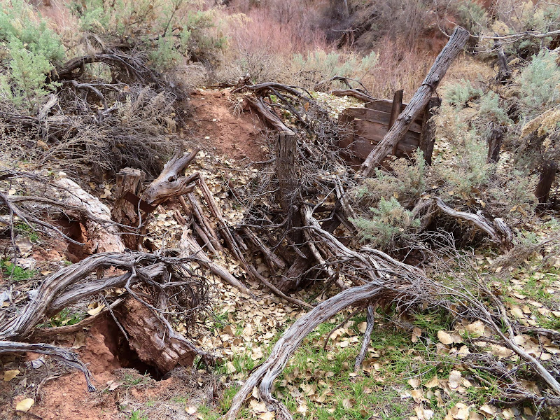
Collapsed dugout
Checking my back-trail
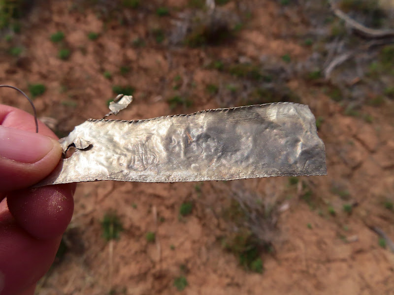
Aluminum tag with illegible writing
Cottonwood Wash (left) confluence with Salt Wash
Heading back down Salt Wash
Alfredo inscription from 1917
Ben Trujillo
Delbert Taylor 4/16/1927
A promising wall in a side canyon
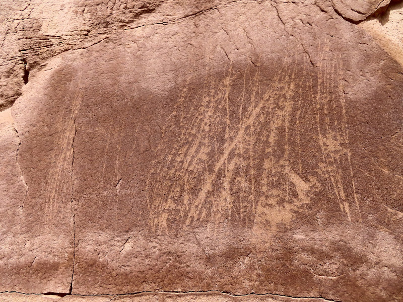
Just some scratches
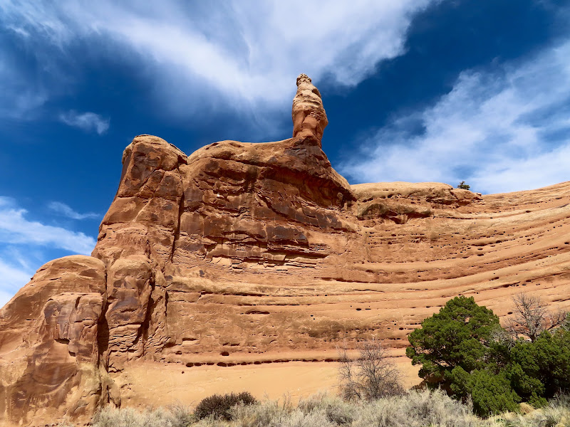
Pillar atop the canyon wall
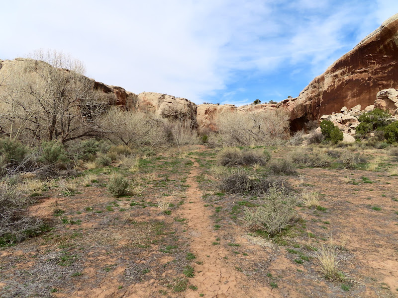
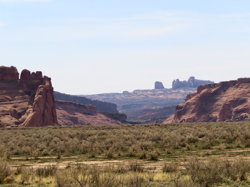
Long view down Salt Wash
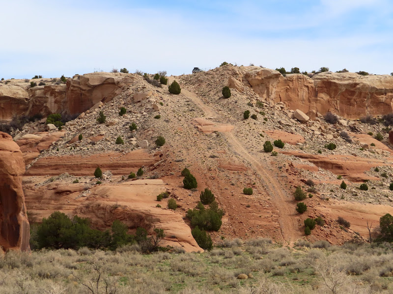
Pipeline with Jeep parked on top
Last bit of the steep climb up the pipeline
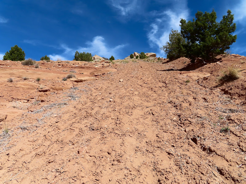
Photo Gallery: North of Arches
I regret not getting out into the desert enough this spring, since I ended up cutting this trip short due to the heat. My plan was to spend a couple of days and nights exploring in and around the north end of Arches National Park. I'd never been to the Yellow Cat area so on Friday after work I drove around checking out some abandoned mines. I made several stops and walked around a bit, and then headed toward my intended camp spot.
Yellow Cat Road and the La Sals
Mining structure along the Poison Strip
View from inside a sealed adit
Ruined building at Parco Mines
Mars rover
Mollie Hogans
Mount Waas
My brief exploration of the mining areas took less time than I expected, so when I got to where I'd planned on camping I decided to do the hike I was saving for the morning. It wasn't a very long hike, taking me right up to the boundary of Arches where there were some petroglyphs somebody had told me about years ago. He'd sent me photos of the rock art, but when I got to the area and started searching the cliffs, I first found an unexpected single petroglyph (possibly Barrier Canyon Style?) and the partially collapsed walls of a rock shelter. There were several broken pieces of ground stone among the rubble of the rock wall. I continued along the cliff band and found the petroglyphs I was expecting, less than 100 feet outside the park. I hiked a different route back to the Jeep and ran across some dense lithic scatter all over the top of the mesa.
Possible rock shelter
Definite rock shelter
Fallen rock wall
Broken mano
Broken metate
Petroglyph, possibly Barrier Canyon Style?
Lines and an unusual figure
Petroglyphs
Arches boundary
Lithic flakes littering the ground
The sun still hadn't set when I returned so I decided to skip camping at this spot and drive toward the next day's destination. I hadn't planned on camping near there so I didn't know what to expect, and I was disapointed to find very few places to camp, and each of them was already occupied. I ended up driving about six miles away to the Highlands before finding a decent spot. Although it was warm enough outside there were bothersome cedar gnats and a lot of moths, so I holed up in the Jeep and read a book through the evening.
Morrison Formation hills near sunset
Camp at the Highlands
I was awake at 7AM on Saturday and ate a quick breakfast then headed toward Salt Wash, where I wanted to get into Cordova Canyon to see an old ranch house. It was a very pleasant morning and the hiking was easy, and I spent six hours inside the park without seeing another person despite it being "full" and the NPS temporarily shutting down the entrance station at 10AM. I hiked down the natural gas pipeline that cuts through the park and was surprised to see so many human footprints. I started to question whether this area was really lesser-traveled as I'd assumed, but by the time I got to Salt Wash there were zero recent tracks. I was also surprised to see so many cow pies--they were pretty much everywhere along my entire hike. There must have been an accidental incursion of cattle a year or two back.
Pipeline trail leading into Salt Wash
Lots of footprints
Artifact protected by the National Park Service
Right were the little side canyon met Salt Wash there was a fence and a few inscriptions. One was in nice cursive writing but had mostly eroded away and I couldn't make it out. I crossed the canyon and started up Cordova Canyon. It looked like the easiest way in would be to just walk up the watercourse, but I soon found out it was quite muddy under the very thin top layer of dirt. I had to keep going until I could find a place to easily climb out with slippery soles, then found an old trail to follow. Water was running in most of the watercourse and I had to cross it several times and got my shoes wet. I paused at some old scat on the trail, thinking it might be from a bear, but the volume was much too low and it was probably a coyote. There were fresh coyote tracks all around, but really no other recent tracks to speak of.
An illegible cursive inscription
La Sal Mountains over Salt Wash
Into the watercourse of Cordova Canyon
Muddy shoes
Old trail in Cordova Canyon
Lingering snow
Golden eagle(?)
Old scat containing pinyon pine shells
Very deep pool
As I approached the head of the canyon I started seeing more signs of humans: first a fence, then a boulder with a checkerboard pattern drawn on it in charcoal, a corral, a metal box, and a barrel and water pipe that appeared to be part of a watering system. When I was a few hundred feet from the ranch house I heard an animal make a sound. I don't even remember exactly what it sounded like, but it wasn't anything familiar. It was somewhat guttural, definitely something a large mammal would make and not like a badger or raccoon or even coyote. My first thought was deer or cow (there was plenty of old sign from both in the area), but as I got closer to the dense brush and trees surrounding the house I decided to play it safe and not box-in whatever it was. If I had kept on the same approach the animal would have been cornered in a box canyon. I backtracked a bit, then headed north and hugged the north wall of the canyon while walking west, which would give the animal an easy out to the south or east as I approached again. I made plenty of noise as I hiked and came across an old chicken coop. I stopped there at the edge of a steep gully with no way for me to traverse it on the way to the house. I could hear the animal still making noises, not with its mouth this time but with footsteps in the dead leaves. Since I couldn't get across the gully, I returned toward my original approach. I got a little closer to the house this time, even though I couldn't see it through the dense thicket. I stopped just before entering the thicket and could still hear the damn thing walking around. It sounded just like human footfalls in the leaf litter. I hadn't seen any movement until that point, but then I saw something dark moving. It was either something raccoon-sized on what appeared to be a partially fallen tree trunk, <i>or</i> it was something much larger behind the trunk. I decided then to just GTFO of there. My handgun was back in my Jeep and I wasn't about to get mired in the brush with the possibility of a bear nearby. Even if I'd had my gun I would have left, but maybe I wouldn't have been shaking so badly. I retreated through the less dense sagebrush and didn't feel at ease until I had several hundred feet of clear trail behind me.
Fence across Cordova Canyon
Large, shallow alcove with a seep
Boulder with checkerboard pattern
Two checkerboard patterns
Corral poles tied to a tree
Metal box
The head of Cordova Canyon
Barrel and water pipe
Cigarette butts in the barrel
Carvings on a large boulder
Old-looking E.F. inscription
View from the spring
Chicken coop
Water or feed dish
Dense, thorny brush
Going back to Salt Wash I took a different route, staying high up on the sagebrush flat following cow trails. Even there I saw zero signs of bears, nor any recent signs of other large animals. It'll always irk me not knowing what was in those trees. I decided to head downstream in Salt Wash to check out the canyon walls south of where I'd originally entered. It was pretty easy going, mostly following old cow trails. I hiked down until I was just across from the mouth of Clover Canyon and found several inscriptions but not really much else of interest. Some guy named Alfredo had left his name several times in 1917, and Delbert Taylor was there in 1927. I also found two undated inscriptions by Ben Trujillo from Youngsville, NM, though the one with his hometown inscribed photographed poorly in the harsh afternoon light. After turning around to leave I found a nice shady spot, dropped my pack and stripped off my hat and overshirt, and rested for quite some time while eating lunch. I rarely break for that long while hiking. It was a much needed rest before the warm climb out. It was 82 degrees when I got back to the Jeep, and it was supposed to be even warmer the next day. I decided then that it would be too hot for another day of hiking, so I headed home a day early.
Collapsed dugout
Checking my back-trail
Aluminum tag with illegible writing
Cottonwood Wash (left) confluence with Salt Wash
Heading back down Salt Wash
Alfredo inscription from 1917
Ben Trujillo
Delbert Taylor 4/16/1927
A promising wall in a side canyon
Just some scratches
Pillar atop the canyon wall
Long view down Salt Wash
Pipeline with Jeep parked on top
Last bit of the steep climb up the pipeline
Photo Gallery: North of Arches
