John Goering
Member
- Joined
- Sep 30, 2014
- Messages
- 496
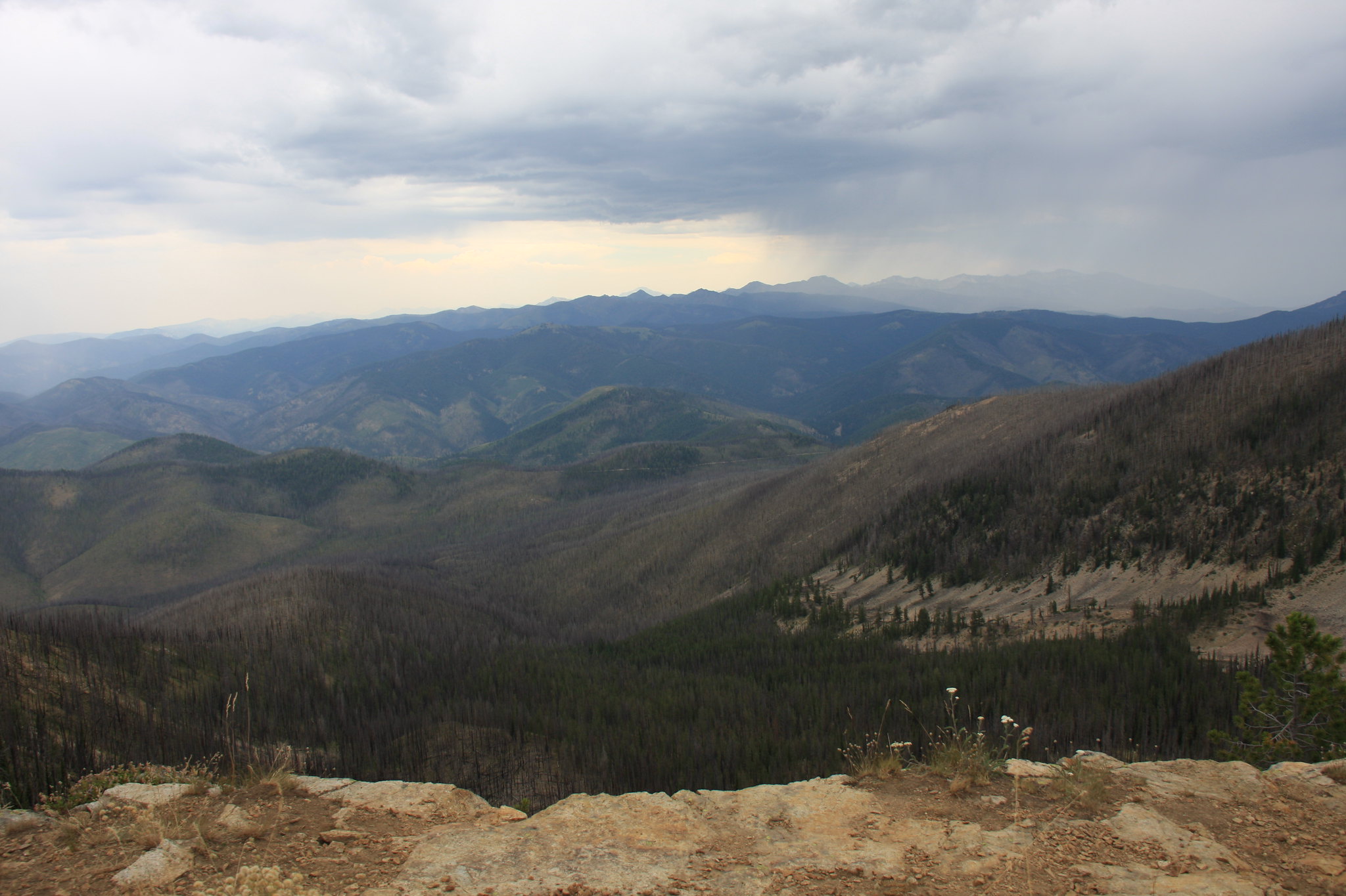
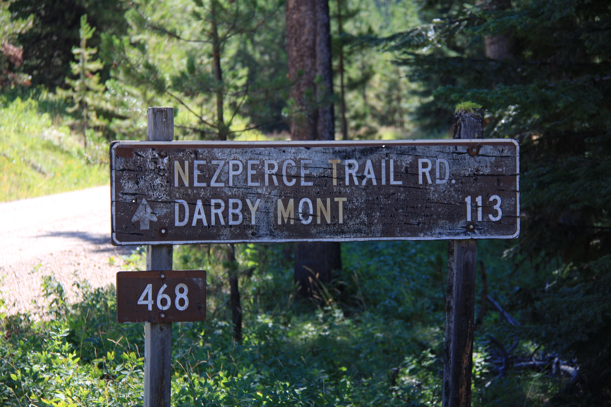
The Nez Perce Trail/Magruder Corridore basically runs from Conner, Montana (approximately 7 miles south of Darby, MT) to Elk City, Idaho. Much of it is sandwiched between two wilderness areas, the Selway-Bitterroot to the north and the Frank Church River of No Return on the south-some 3.5 million acres in total. FS Road 468 traverses almost the entire 115 plus or minus miles. The terrain is typical Idaho Batholith -steep slopes with a paucity of anything that resembles a floodplain in the stream bottoms. You get some tantalizing views of the high Bitterroot peaks from the fire lookouts.
Road: FS 468 is a mixed bag with reaches ranging from 2 lane pavement to single lane. While some literature categorizes the single lane portion as "primitive", it is not. All of it is graded with the only exceptions being the side trails to the lookout towers which are indeed a little rough but still not Jeep trail. At no place is 4x4 mode or low range necessary and I'm willing to bet it could be driven in a C6 Corvette by moving an occasional rock. We encounted vehicles from Subarus to ATV's. The only time I would be worried is late fall and getting snowed in for the winter.
Much is made in the available literature about having extra fuel. Maybe with a 11 gal early Jeep tank-perhaps. I used 11.5 gal in the JK for the approximately 130 mile trip. Less than 1/2 a tank. Serious breakdowns could be problematic as in the middle of it, you are approximately 50 to 60 miles from help and there isn't any cell service. That said, the AAA wrecker truck will have no problems getting to you.
Campgrounds:
Due to that paucity of level floodplain, a lot of the campgrounds are a bit tenuous. The best ones are Fales Flat, Paradise, Indian Creek, Poet Creek, and Mountain Meadows. We stayed at Raven Creek the first night Poet Creek the second night. While we took 3 days for this trip, it could easily be completed in 2. The group we were with were not much into hiking and hence this was all pretty much seat time. There are some lakes within a mile or two of the trail that would be worth investigating given more time, not to mention all that wilderness area beyond.
My wife and I met with one of the neighbors at 7:00 am and hit I90 west from Bozeman, MT. Thence MT 1 through Anaconda, MT to west of Georgetown Lake where we turned onto MT 38, also known as the Skalkaho Highway, to Darby, MT.
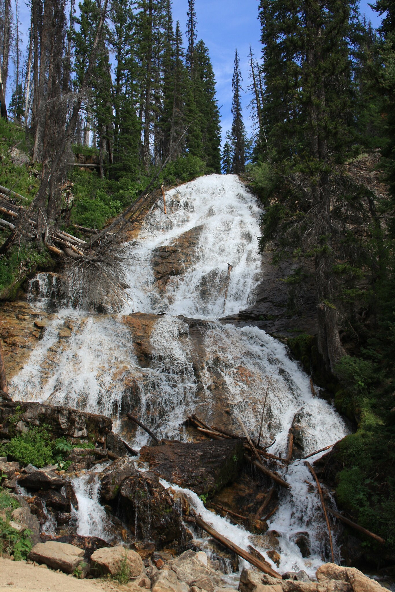
Perhaps one of the most scenic views of the entire 3 day trip was Skalkaho Falls located on the latter road.
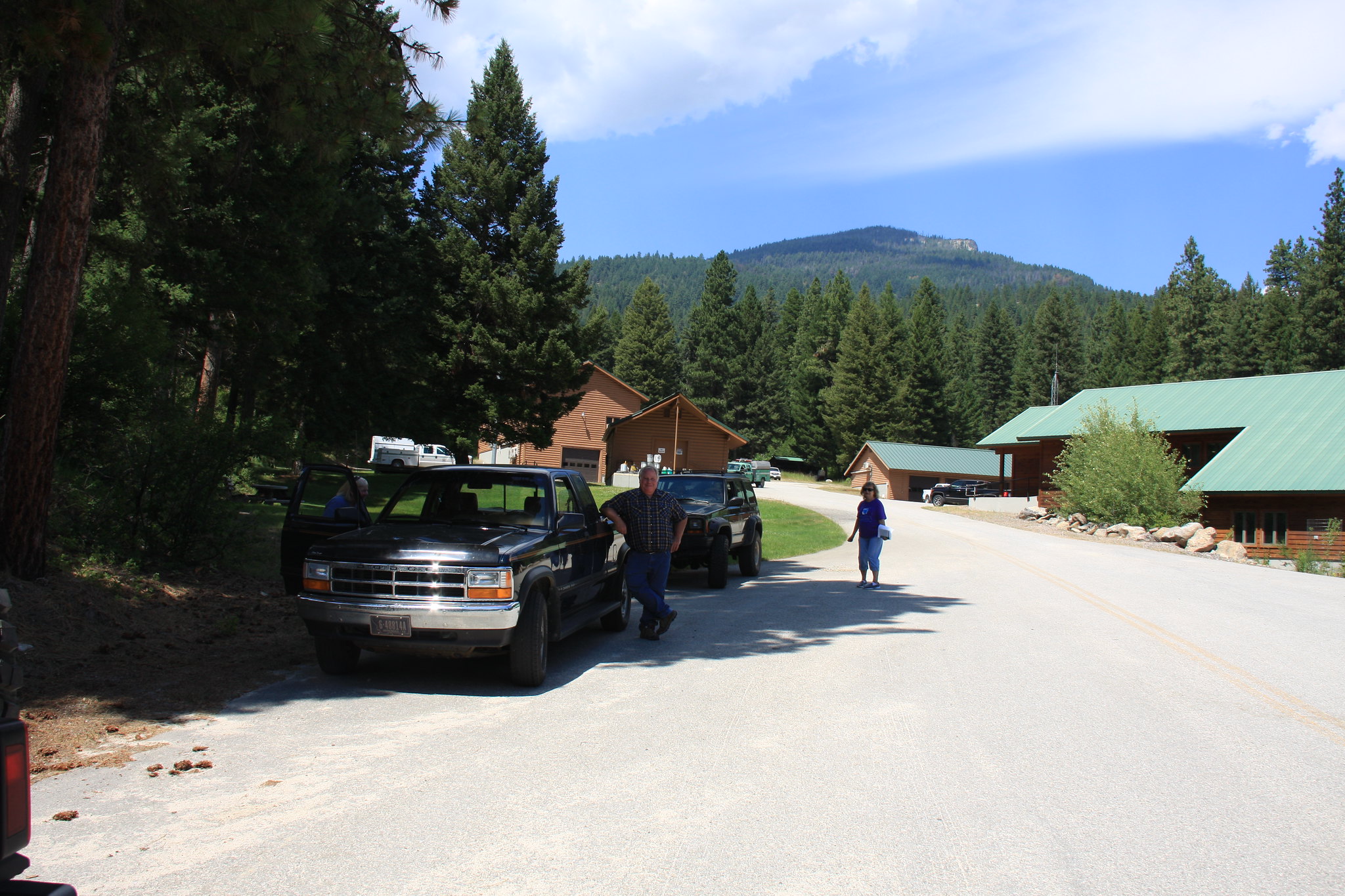
We met the other two parties (from Clancy and Polson, MT) for the adventure at the West Fork Ranger station.
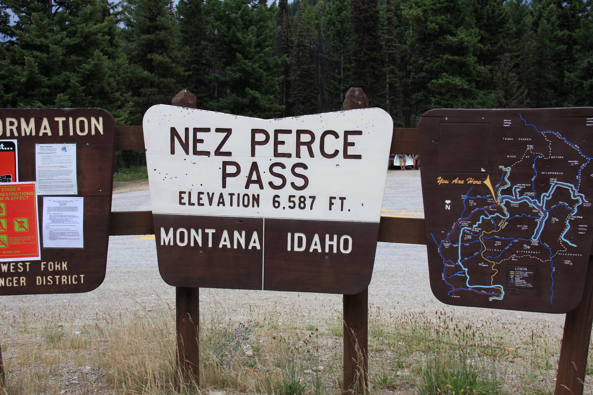
From the West Fork Ranger Station it is a relatively short drive up Nez Perce Creek to Nez Perce Pass, the boundary between Idaho and Montana.
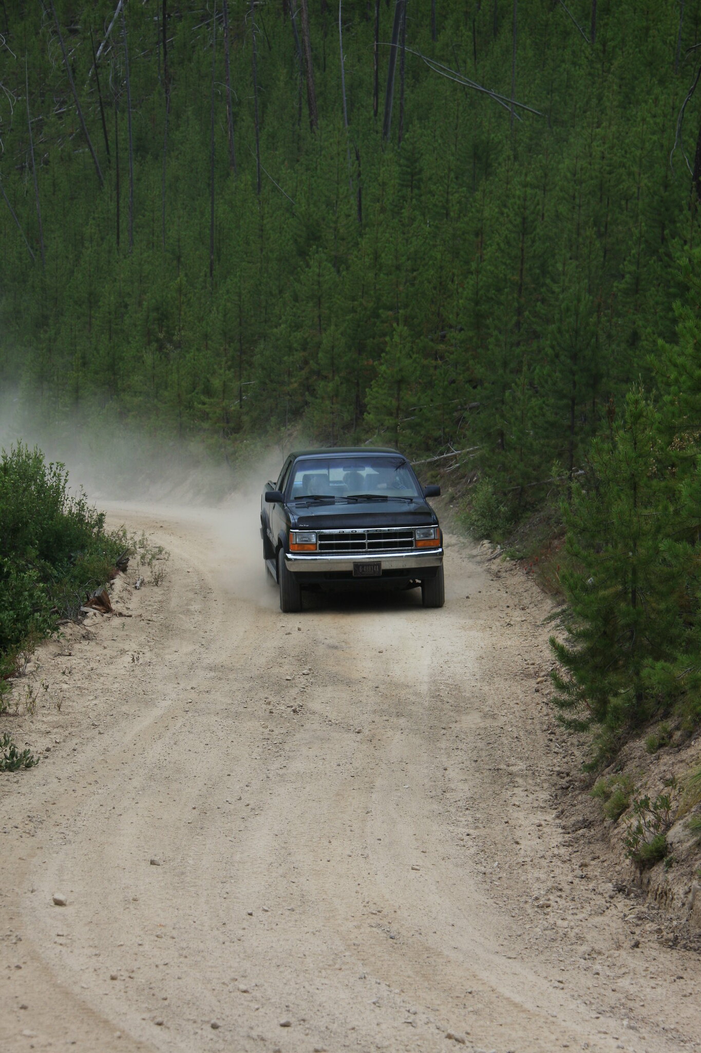
Typical road on the Idaho side of the pass.
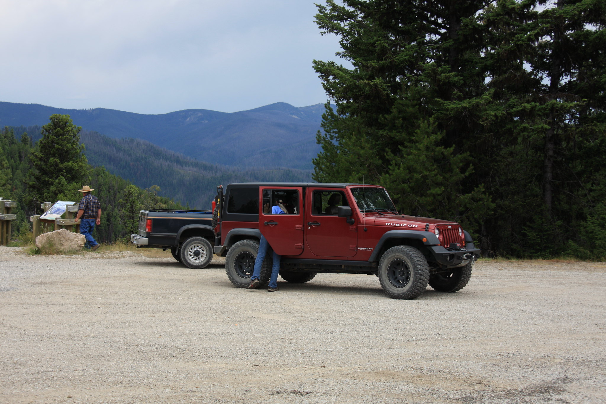
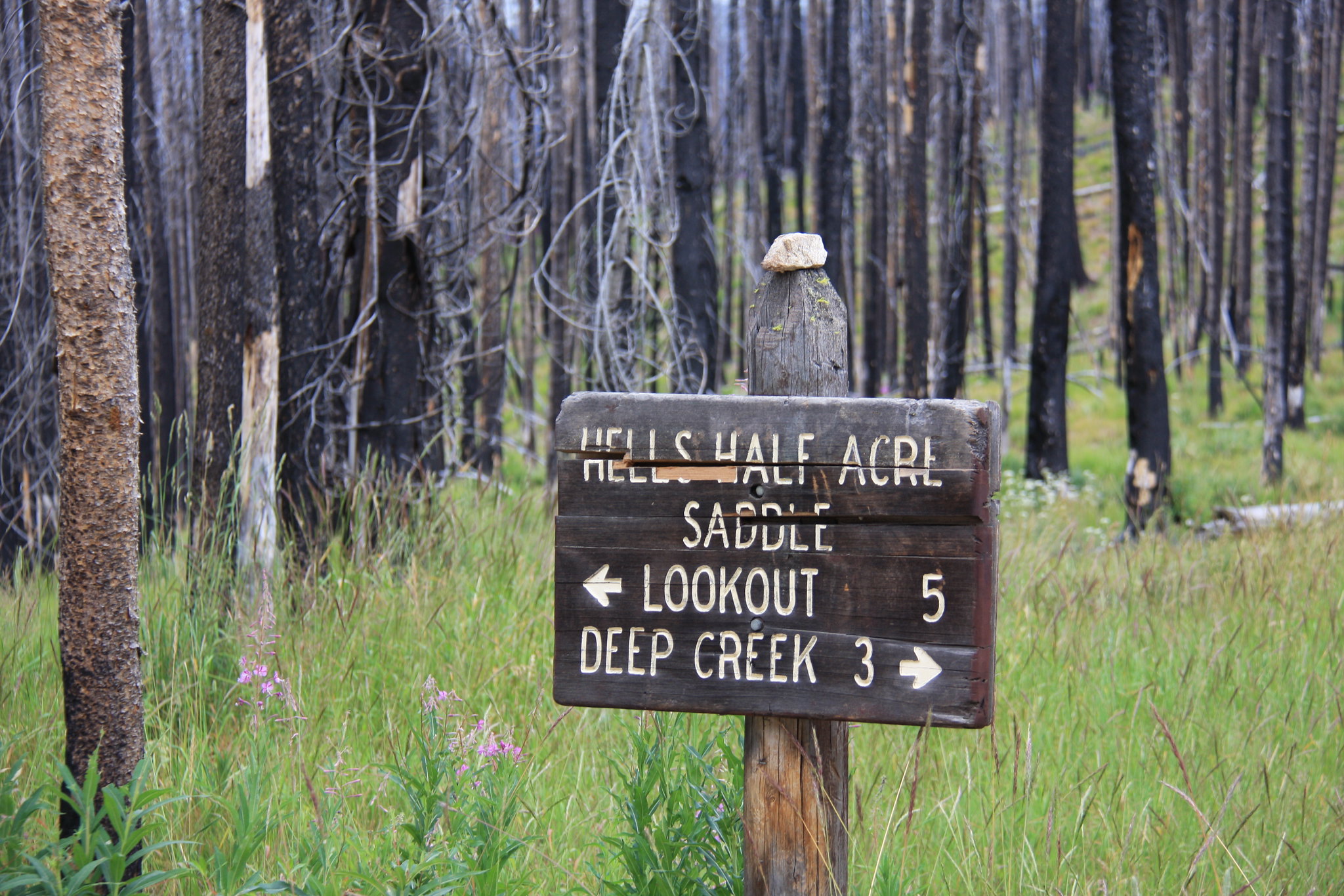
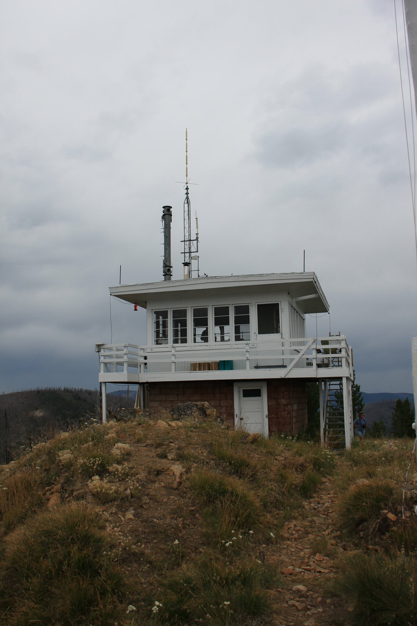
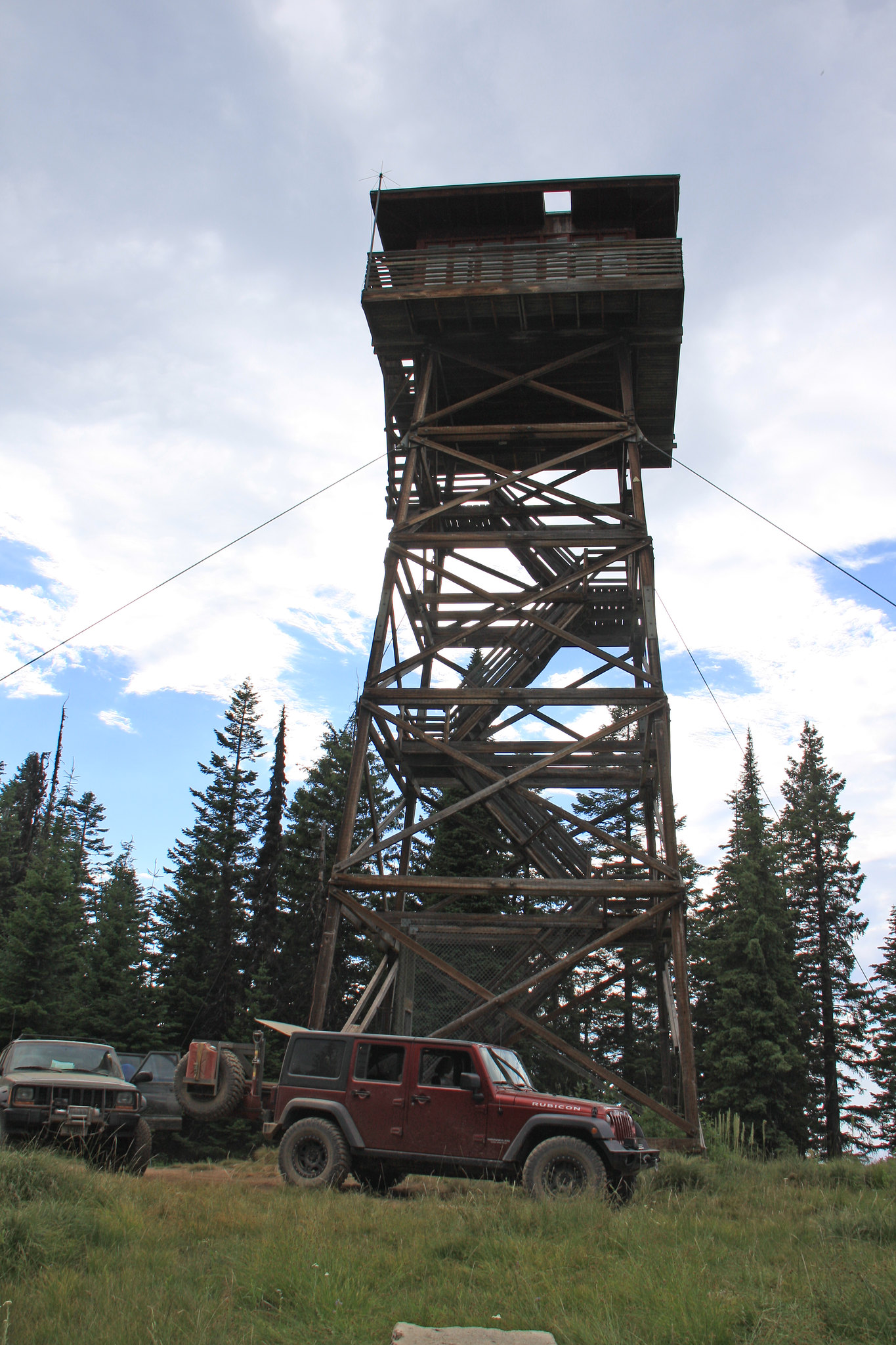
Near the bottom of the ID side of the pass we took our first side trip-to the Hell's 1/2 acre Lookout.
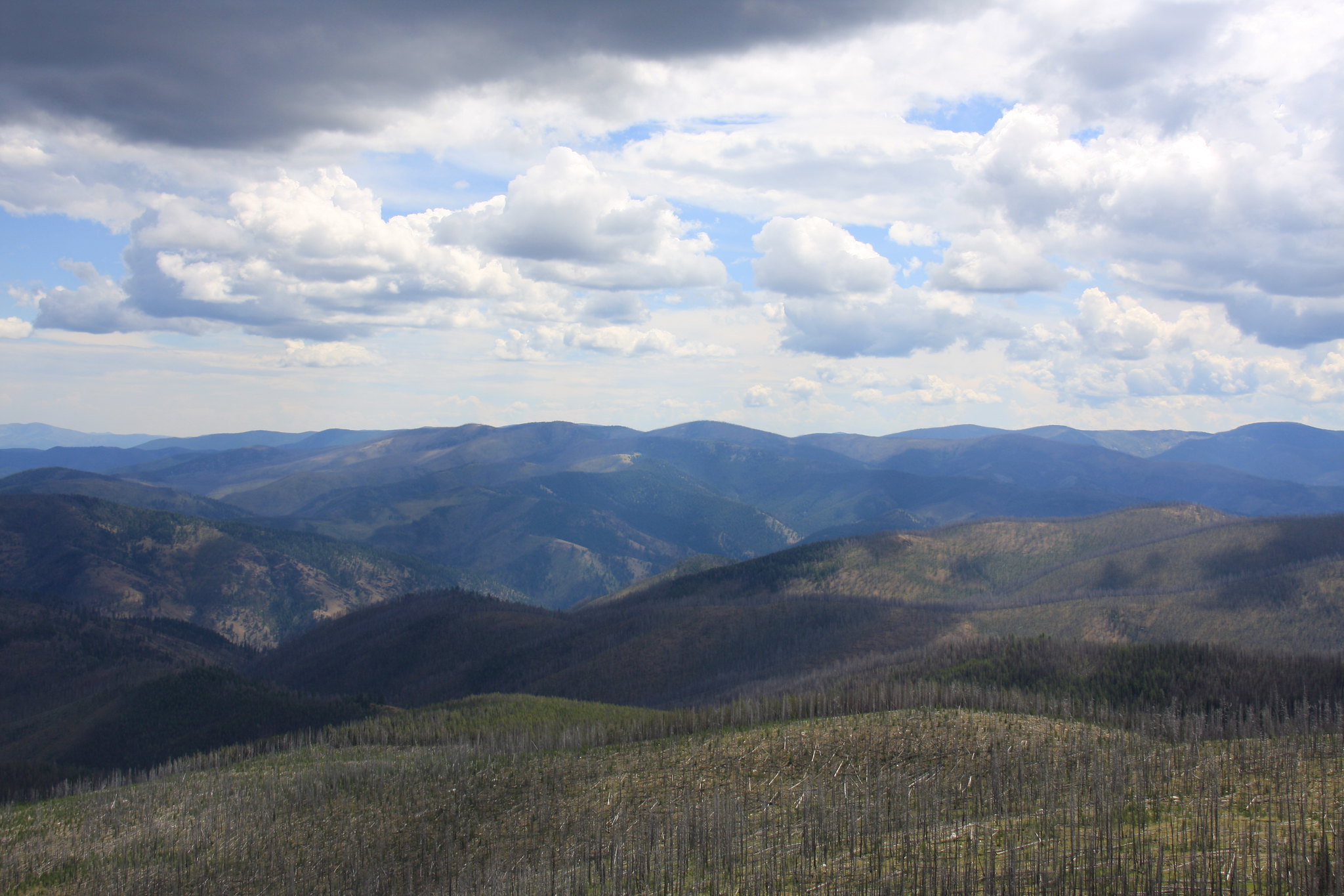
One of those tantalizing views of the Bitterroots.
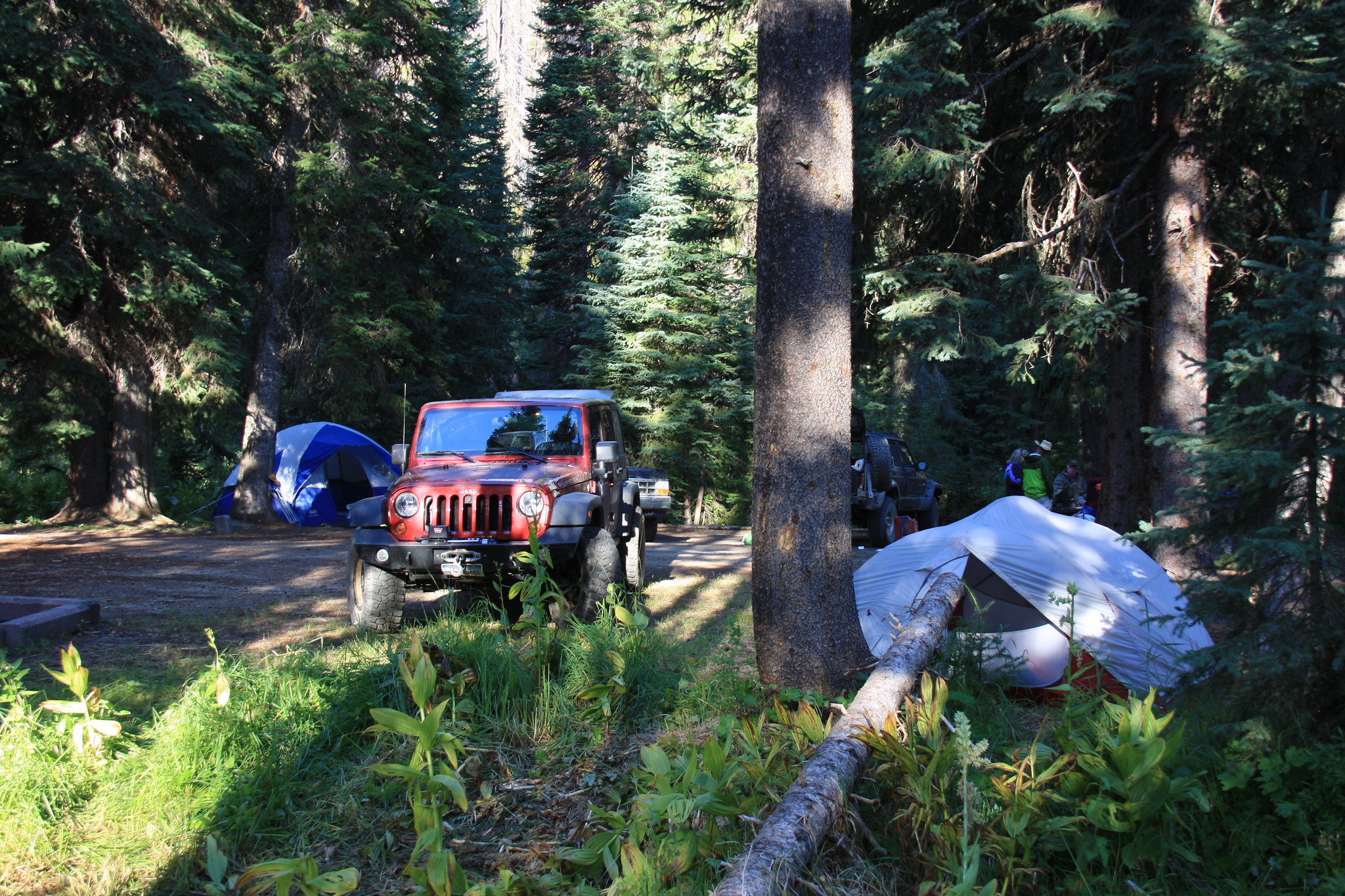
Raven Creek. A tiny campground right on the road to Paradise (FS6223).
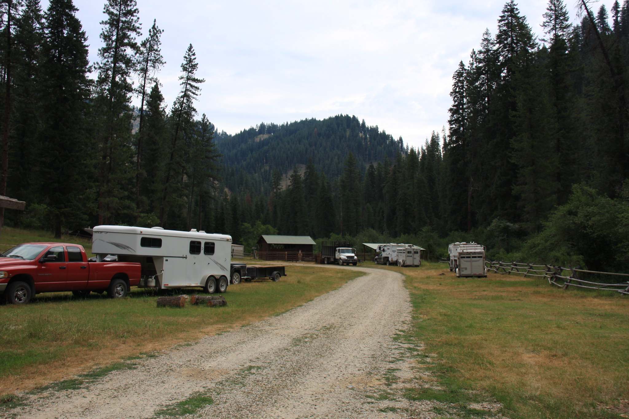
The next morning we drove down to Paradise. A number of outfitters for both rafting the Selway River and horse packing trips to the Selway-Bitterroot Wilderness are based here. It is a very busy place.
After Paradise, we hit FS468 again and the Magruder Crossing bridge which spans the Selway. The country gets a bit monotonous at that point with expansive views of rolling low mountains and winding road.
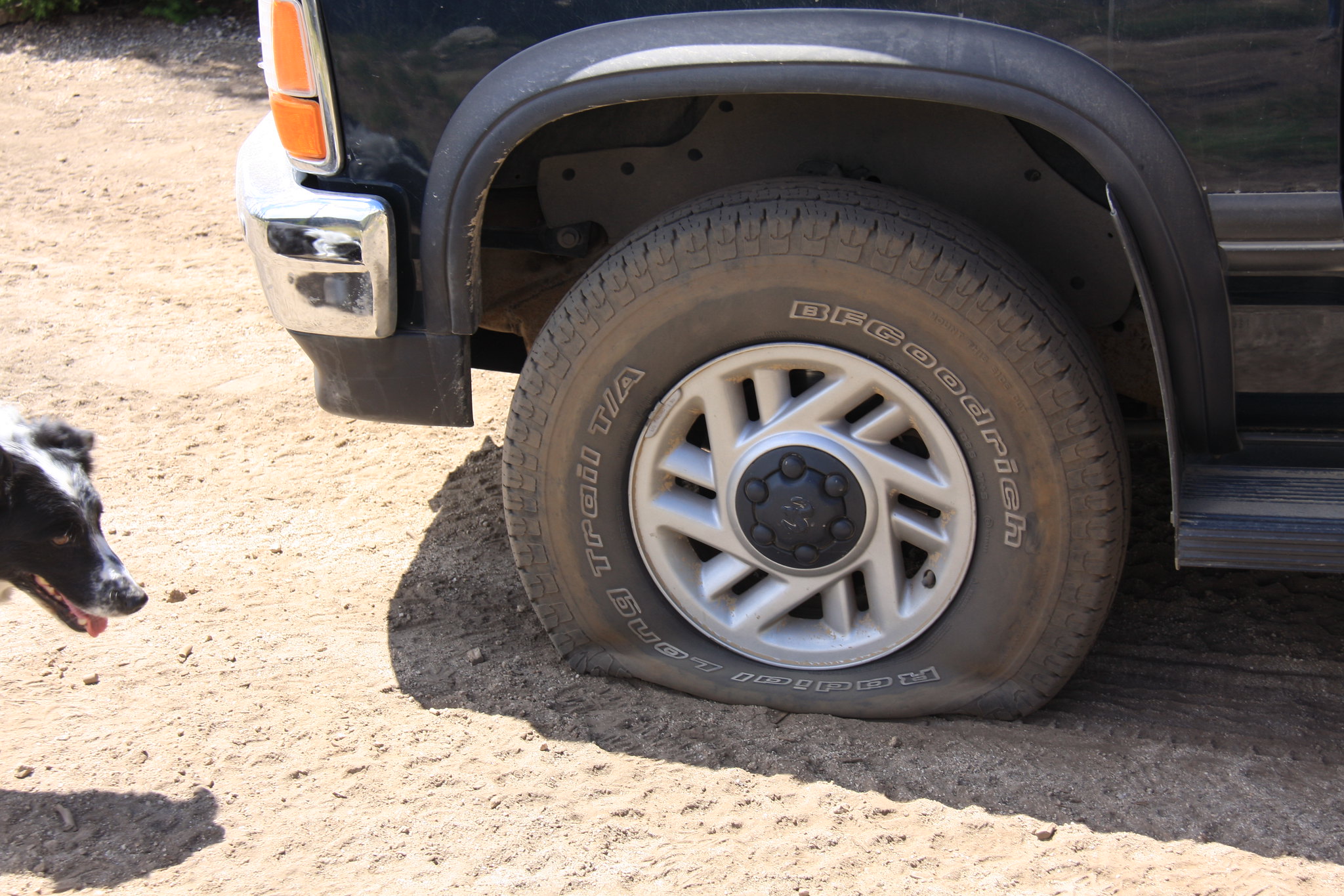
The only mishap of the trip but those weren't exactly good tires. Pretty much down to the wear bars and he finally found the proper rock. I did patch the tire (Gempler's tire kit) and aired back up with the ARB in the JK. No further problems were encountered.
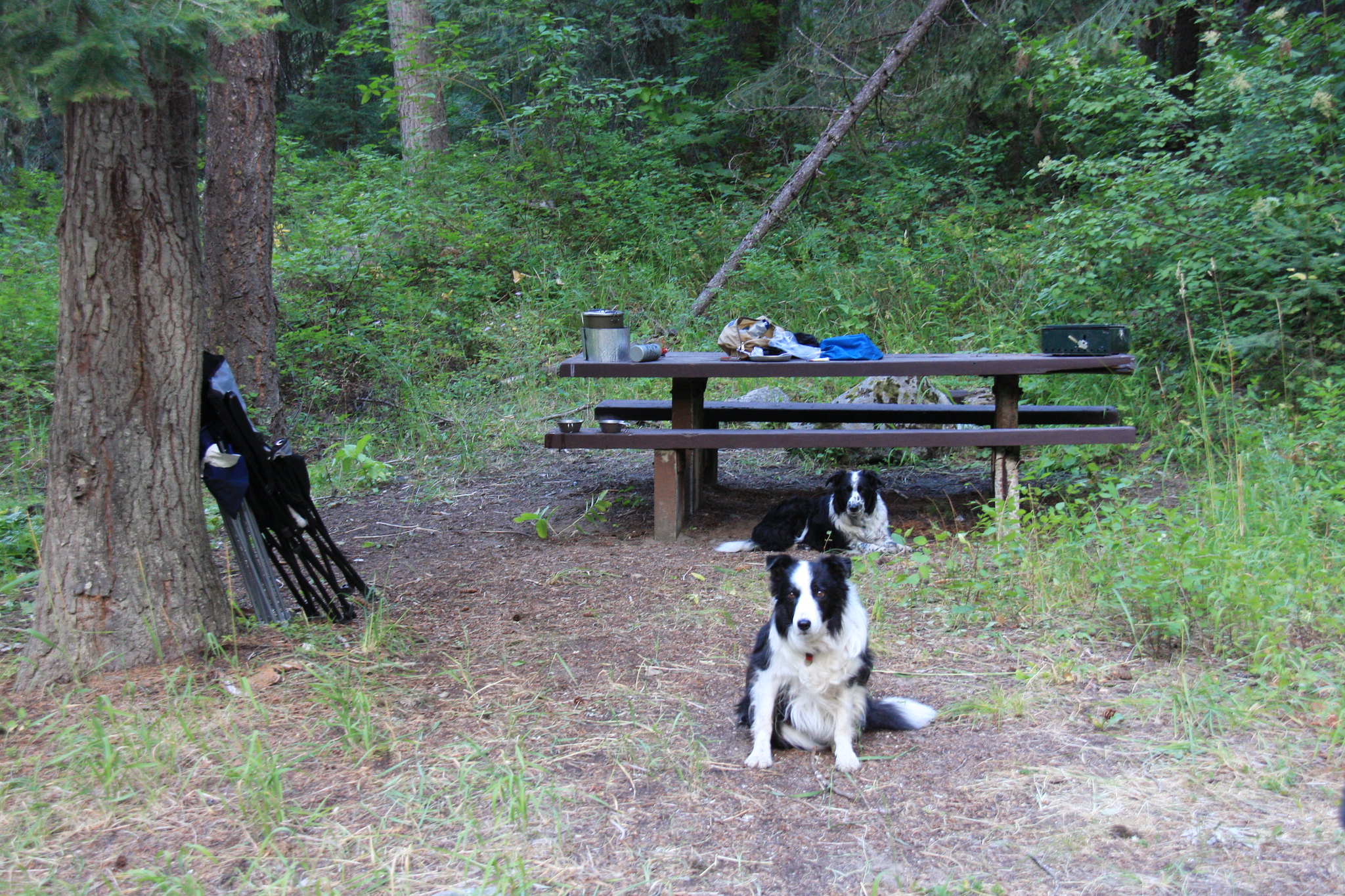
Poet Creek Campground. This is a nice campground and clearly posted no livestock. But apparently some horse packers can't read.
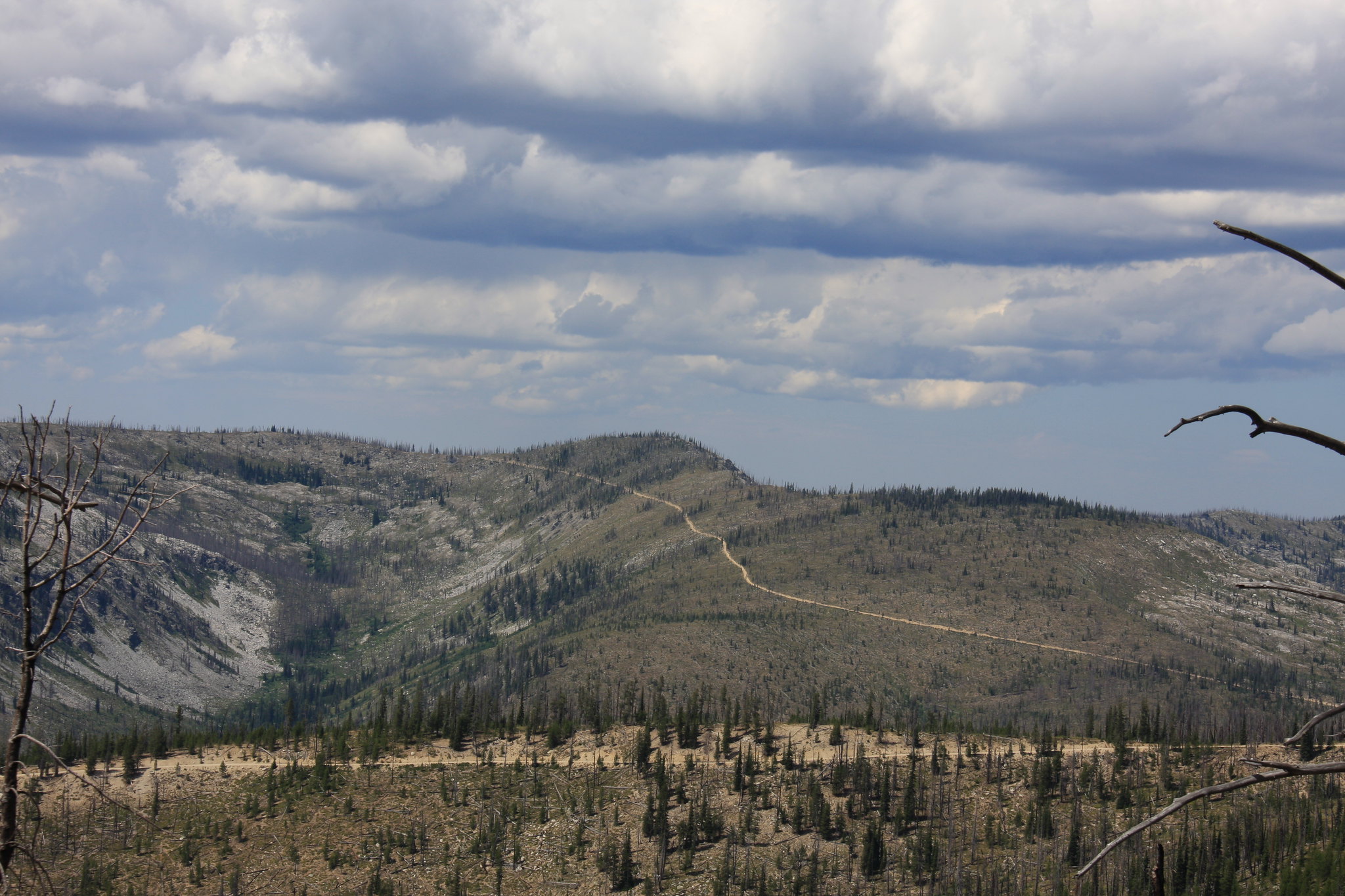
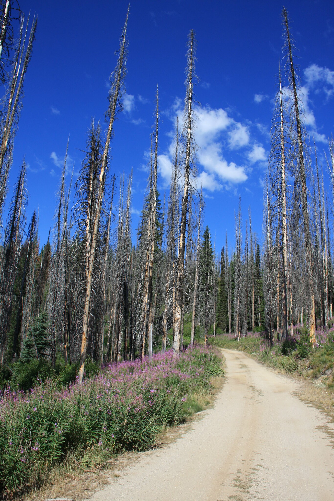
Typical road west of Poet Creek.
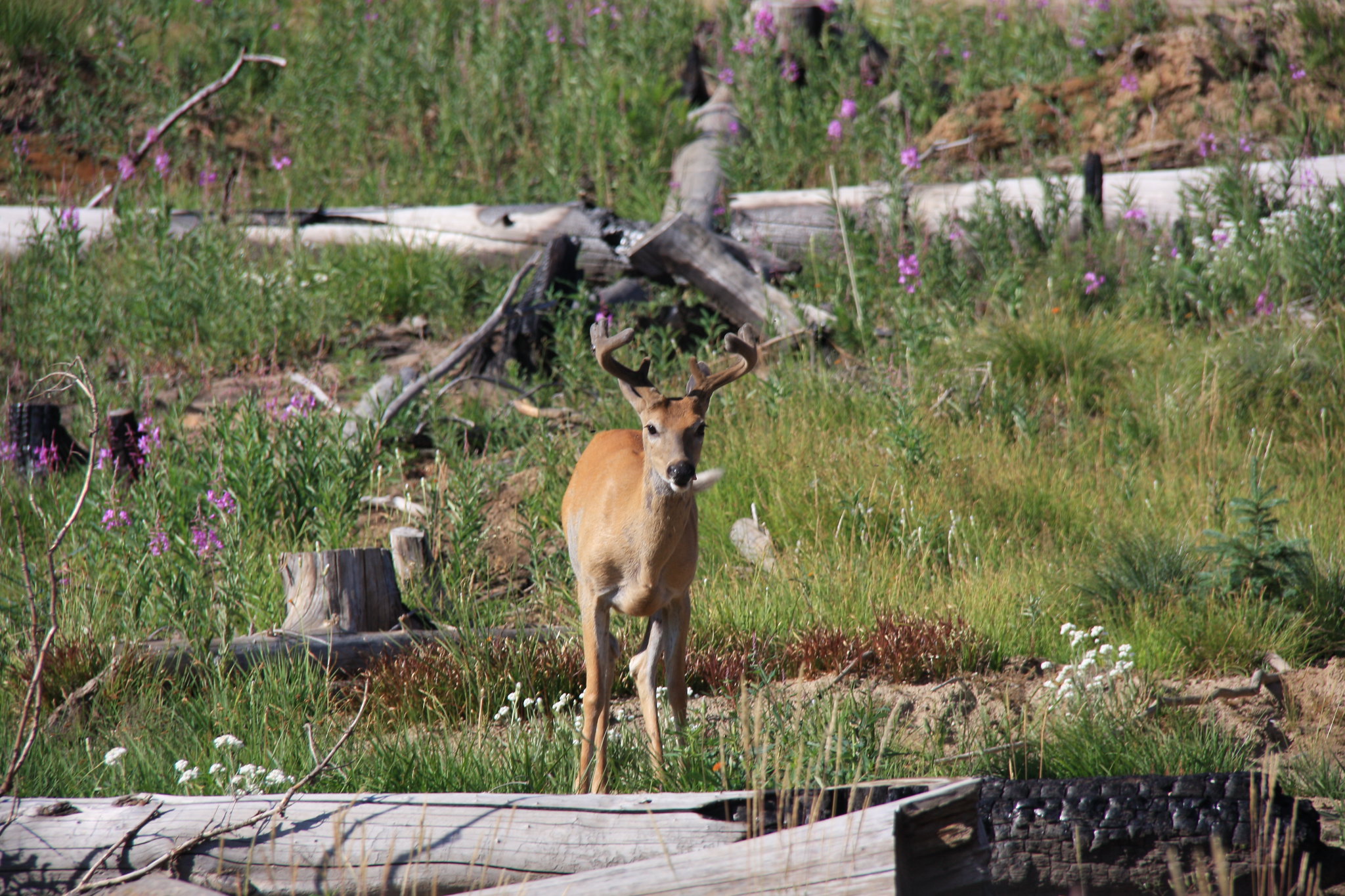
Ran into white tails in several places along the route.
Near the Idaho City end.
After leaving Elk City, we took the Elk City Wagon Road among others to get to US 12 and up the Lochsa River to Lolo Pass and hit I90 in Missoula for the rest of the trip home. The area Between Elk City and US 12 is interesting because at least a notable portion isn't charcoal stumps/snags but it is getting logged and that, with the resulting FS road closure caused us to do several tens of miles of backtracking-all on one lane dirt road.
Fire tower north of Elk City.
And these damn things ate some time----
Not a terrible way to spend 3 days but I have no desire to do it again unless it includes some backpacking. The Elk City Hotel is a quaint place but also a bit of a tourist trap, not to mention a source-and the only source-of very high priced gasoline.
Road: FS 468 is a mixed bag with reaches ranging from 2 lane pavement to single lane. While some literature categorizes the single lane portion as "primitive", it is not. All of it is graded with the only exceptions being the side trails to the lookout towers which are indeed a little rough but still not Jeep trail. At no place is 4x4 mode or low range necessary and I'm willing to bet it could be driven in a C6 Corvette by moving an occasional rock. We encounted vehicles from Subarus to ATV's. The only time I would be worried is late fall and getting snowed in for the winter.
Much is made in the available literature about having extra fuel. Maybe with a 11 gal early Jeep tank-perhaps. I used 11.5 gal in the JK for the approximately 130 mile trip. Less than 1/2 a tank. Serious breakdowns could be problematic as in the middle of it, you are approximately 50 to 60 miles from help and there isn't any cell service. That said, the AAA wrecker truck will have no problems getting to you.
Campgrounds:
Due to that paucity of level floodplain, a lot of the campgrounds are a bit tenuous. The best ones are Fales Flat, Paradise, Indian Creek, Poet Creek, and Mountain Meadows. We stayed at Raven Creek the first night Poet Creek the second night. While we took 3 days for this trip, it could easily be completed in 2. The group we were with were not much into hiking and hence this was all pretty much seat time. There are some lakes within a mile or two of the trail that would be worth investigating given more time, not to mention all that wilderness area beyond.
My wife and I met with one of the neighbors at 7:00 am and hit I90 west from Bozeman, MT. Thence MT 1 through Anaconda, MT to west of Georgetown Lake where we turned onto MT 38, also known as the Skalkaho Highway, to Darby, MT.
Perhaps one of the most scenic views of the entire 3 day trip was Skalkaho Falls located on the latter road.
We met the other two parties (from Clancy and Polson, MT) for the adventure at the West Fork Ranger station.
From the West Fork Ranger Station it is a relatively short drive up Nez Perce Creek to Nez Perce Pass, the boundary between Idaho and Montana.
Typical road on the Idaho side of the pass.
Near the bottom of the ID side of the pass we took our first side trip-to the Hell's 1/2 acre Lookout.
One of those tantalizing views of the Bitterroots.
Raven Creek. A tiny campground right on the road to Paradise (FS6223).
The next morning we drove down to Paradise. A number of outfitters for both rafting the Selway River and horse packing trips to the Selway-Bitterroot Wilderness are based here. It is a very busy place.
After Paradise, we hit FS468 again and the Magruder Crossing bridge which spans the Selway. The country gets a bit monotonous at that point with expansive views of rolling low mountains and winding road.
The only mishap of the trip but those weren't exactly good tires. Pretty much down to the wear bars and he finally found the proper rock. I did patch the tire (Gempler's tire kit) and aired back up with the ARB in the JK. No further problems were encountered.
Poet Creek Campground. This is a nice campground and clearly posted no livestock. But apparently some horse packers can't read.
Typical road west of Poet Creek.
Ran into white tails in several places along the route.
Near the Idaho City end.
After leaving Elk City, we took the Elk City Wagon Road among others to get to US 12 and up the Lochsa River to Lolo Pass and hit I90 in Missoula for the rest of the trip home. The area Between Elk City and US 12 is interesting because at least a notable portion isn't charcoal stumps/snags but it is getting logged and that, with the resulting FS road closure caused us to do several tens of miles of backtracking-all on one lane dirt road.
Fire tower north of Elk City.
And these damn things ate some time----
Not a terrible way to spend 3 days but I have no desire to do it again unless it includes some backpacking. The Elk City Hotel is a quaint place but also a bit of a tourist trap, not to mention a source-and the only source-of very high priced gasoline.