- Joined
- Oct 30, 2016
- Messages
- 991
Last week I was in Las Vegas for a work related conference. It absolutely, positively sucked. High temps around 110-115 every day, rarely dipping below 100 at night. I actually ran on a treadmill instead of outdoors for the first time in over three years - a veritable prisoner inside the hotel.
So this holiday weekend there's been a good deal of recharging my outdoor batteries. Saturday we banged around a local state park a bit, Sunday we put some serious mileage in to the hills of another (Colorado state parks are pretty sweet truth be told). Today, Monday, my wife had to work and my dog was pretty wasted from the last two days. So I packed a daypack, grabbed my camera, and decided to bag my first 13er - Mount Parnassus (henceforth referred to as MP).
MP is reached via the Watrous Gulch trail. Watrous Gulch sits adjacent to the very popular Herman Gulch and they share a common trailhead at exit 218 on I70, a mile or two shy of the Eisenhower tunnel. Hugging the continental divide, the area is full of various 13ers and 14ers.
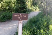
My planned route was to follow the Watrous Trail for 2 miles, at which point the summit would be pretty much east of me. Watrous Trail continues on and climbs up in to a saddle between MP and its neighbor Woods Mountain making for an easier MP approach from the northwest, but I wanted to minimize my time away from home. I felt pretty bad about my dog having had to stay at home by himself all last week (I normally work from home) and here I was again leaving him on his own. Yes, I am held emotionally hostage by my pet...
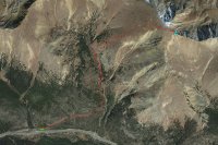
Brute forcing the approach may or may not have saved some time. Looking back, I don't know. The total route is 3400 feet of elevation gain, but jumping off trail at that 2 mile marker instead of circling around to the back packs 2120 feet of it in to the 1.25 mile approach to the summit. It was a lung burner.

But it all started out pleasantly enough. Mostly empty lot, no crowds, no dogs - other than a tent I glimpsed a good way off trail I wouldn't see anyone until I was coming back off the mountain.
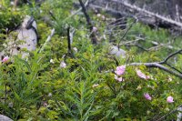
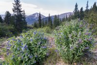
Wildflowers everywhere right from the start. All along the trail, and then carpeting the slopes of the gulch. Should have brought my macro!

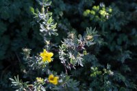
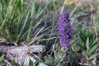
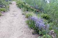
The trail was in good shape, with just a few muddy bits that were easily rock-hopped through and a couple sections with melt-off rivulets coming through.
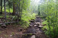
After a mile or so you move up in to the gulch itself and the views open up. It's a lush valley between the mountains.
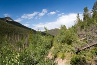
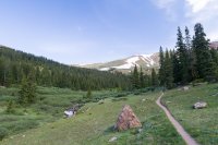
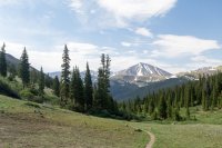
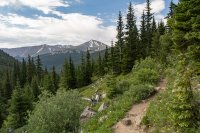
With all the recent melt, streams are abundant on the hillsides and make for great background noise.
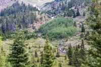
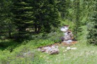
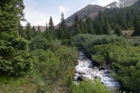
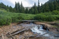
Eventually the trail cuts across the gulch and over the stream. It's not that deep and you could easily march right through, but I tightroped over this dead tree rather than deal with wet feet.
So at two miles / 11,400'ish feet I cut east and started to climb MP. Quite the leg work out given the grade, but really pretty and carpeted with flowers. Lots of nice views the higher I climbed.
Torrey's Peak looms over the gulch to the south.
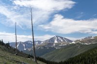
Mount Sniktau sort of rises over the horizon as you climb.
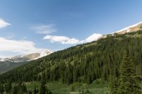
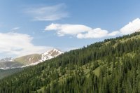
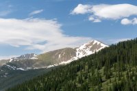
This is Woods Mountain, another 13er you could easily grab on the same hike.
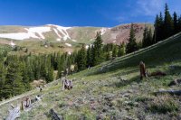
More ascent, more mountain porn.
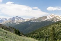
I cut through this last stand of pines, and remarked to myself how it stank of animals.
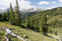
Well I had apparently insulted someone's bedroom, and there they were staring at me from a hundred yards away.
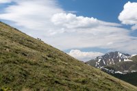
Reaching an elevation where there's not a lot left 'above' you, and the views keep getting nicer. This is Woods Mountain again, and you can clearly see the saddle it shares with MP on the right side of the pic.
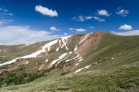
Looking back down, I70 is visible in the distance. Eisenhower Tunnel is right around the bend
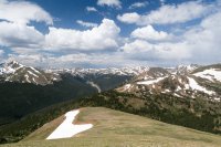
Finally up at the top. No marker that I could find. Shared the summit with a little pika, but no one else in sight. You can see mountain ranges upon mountain ranges upon mountain ranges. I don't know what any of these are called (yet).
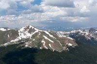
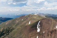
This cirque is directly below the summit. The peak on the right is Mount Bard, another 13er that shares a saddle with MP. With more time or an earlier start, it's entirely possible to snag three of them in one shot, and there's actually a fourth behind Bard that is also doable in the same day.
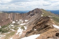
Looking north, more mountains.
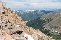
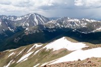
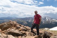
And that's me.
Ironically, tough ascents being what they are, I began to regret my route when I descended. Lots of loose footing that hadn't seemed to be as much of an issue on the way up, and a couple times where I worried I might actually injure myself before catching the trail again. Still, any landing you can walk away from...
Here's a short video for those who like the moving pictures
So this holiday weekend there's been a good deal of recharging my outdoor batteries. Saturday we banged around a local state park a bit, Sunday we put some serious mileage in to the hills of another (Colorado state parks are pretty sweet truth be told). Today, Monday, my wife had to work and my dog was pretty wasted from the last two days. So I packed a daypack, grabbed my camera, and decided to bag my first 13er - Mount Parnassus (henceforth referred to as MP).
MP is reached via the Watrous Gulch trail. Watrous Gulch sits adjacent to the very popular Herman Gulch and they share a common trailhead at exit 218 on I70, a mile or two shy of the Eisenhower tunnel. Hugging the continental divide, the area is full of various 13ers and 14ers.

My planned route was to follow the Watrous Trail for 2 miles, at which point the summit would be pretty much east of me. Watrous Trail continues on and climbs up in to a saddle between MP and its neighbor Woods Mountain making for an easier MP approach from the northwest, but I wanted to minimize my time away from home. I felt pretty bad about my dog having had to stay at home by himself all last week (I normally work from home) and here I was again leaving him on his own. Yes, I am held emotionally hostage by my pet...

Brute forcing the approach may or may not have saved some time. Looking back, I don't know. The total route is 3400 feet of elevation gain, but jumping off trail at that 2 mile marker instead of circling around to the back packs 2120 feet of it in to the 1.25 mile approach to the summit. It was a lung burner.
But it all started out pleasantly enough. Mostly empty lot, no crowds, no dogs - other than a tent I glimpsed a good way off trail I wouldn't see anyone until I was coming back off the mountain.
Wildflowers everywhere right from the start. All along the trail, and then carpeting the slopes of the gulch. Should have brought my macro!


The trail was in good shape, with just a few muddy bits that were easily rock-hopped through and a couple sections with melt-off rivulets coming through.

After a mile or so you move up in to the gulch itself and the views open up. It's a lush valley between the mountains.


With all the recent melt, streams are abundant on the hillsides and make for great background noise.


Eventually the trail cuts across the gulch and over the stream. It's not that deep and you could easily march right through, but I tightroped over this dead tree rather than deal with wet feet.

So at two miles / 11,400'ish feet I cut east and started to climb MP. Quite the leg work out given the grade, but really pretty and carpeted with flowers. Lots of nice views the higher I climbed.
Torrey's Peak looms over the gulch to the south.

Mount Sniktau sort of rises over the horizon as you climb.


This is Woods Mountain, another 13er you could easily grab on the same hike.

More ascent, more mountain porn.

I cut through this last stand of pines, and remarked to myself how it stank of animals.

Well I had apparently insulted someone's bedroom, and there they were staring at me from a hundred yards away.

Reaching an elevation where there's not a lot left 'above' you, and the views keep getting nicer. This is Woods Mountain again, and you can clearly see the saddle it shares with MP on the right side of the pic.

Looking back down, I70 is visible in the distance. Eisenhower Tunnel is right around the bend

Finally up at the top. No marker that I could find. Shared the summit with a little pika, but no one else in sight. You can see mountain ranges upon mountain ranges upon mountain ranges. I don't know what any of these are called (yet).


This cirque is directly below the summit. The peak on the right is Mount Bard, another 13er that shares a saddle with MP. With more time or an earlier start, it's entirely possible to snag three of them in one shot, and there's actually a fourth behind Bard that is also doable in the same day.

Looking north, more mountains.


And that's me.

Ironically, tough ascents being what they are, I began to regret my route when I descended. Lots of loose footing that hadn't seemed to be as much of an issue on the way up, and a couple times where I worried I might actually injure myself before catching the trail again. Still, any landing you can walk away from...
Here's a short video for those who like the moving pictures
Last edited:
