- Joined
- Dec 23, 2013
- Messages
- 4,110
Well, I turned the big 59 yesterday, so as has become custom on Bastille Day, I needed to pick a challenging hike in the Wasatch to complete on my birthday. I ended up choosing Mount Superior which I have never attempted before. The peak is located on the Cottonwood Ridge which separates Big Cottonwood Canyon from Little Cottonwood Canyon. The trailhead for Superior is located up Little Cottonwood across from the Alta Lodge. I had invited two friends (Jon and Amy) that I used to work with before they retired, and since they had never summited either, they decided to join myself and Katie to see if we could get it done.
We met at the parking lot just east of the trailhead and pushed off around seven in the morning. The route to the top of Superior isn't very long, measuring in at about 2.2 miles, but it is a steep hike for a good portion, with plenty of scrambling, exposure and a knife's edge thrown in for good measure.
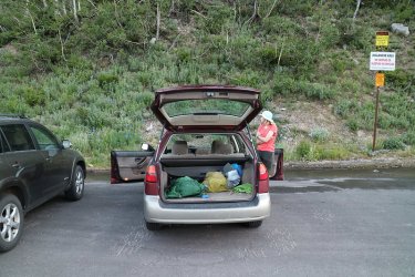
Ready to hike - waiting for Jon and Amy to show up. 59 degrees at the trailhead
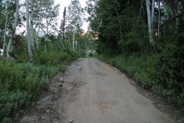
The trail starts out on a road, Michigan City Road to be exact
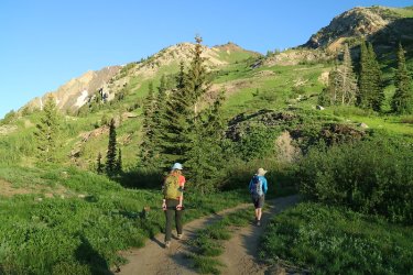
You then have to take a left onto a two track old road that eventually leads to some abandoned mines
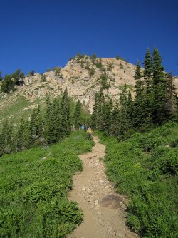
After walking the Jeep road for a bit, you have to take another left onto a single track that heads
uphill to Cardiff Pass which is located on the Cottonwood Ridgeline
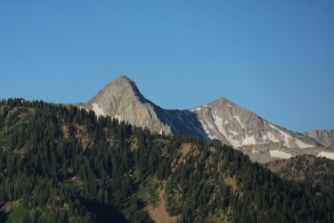
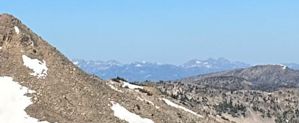
As you gain elevation, the mountains on the south side of the canyon start to come into full view with the Pfeifferhorn (last years
birthday destination) showing off for us
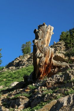
Old cut tree from the mining days
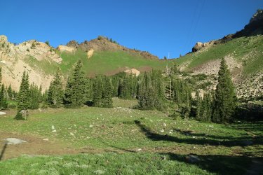
Cardiff Pass above
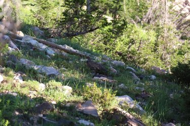
A grouse near the trail
At this point, marmots and pikas started sounding off all across the hillside. With their voices echoing across the canyon. Katie spotted a fox above that was chasing a couple of grouse, so we assumed the marmots and pikas were sending out warnings of danger. This was the highlight of the hike for me.
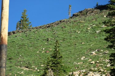
If you look very carefully you should be able to see a fox standing up near the ridgetop.
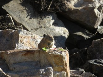
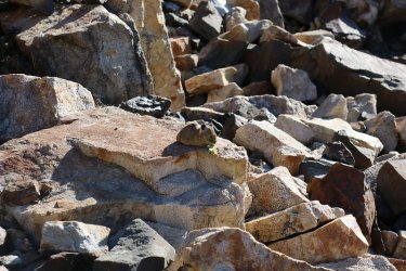
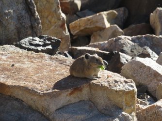
A tolerant pika near the trail
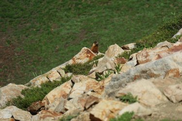
And a cautious marmot
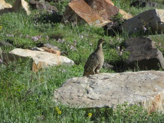
A little further up the trail, almost to the pass was one of the grouse that the fox was chasing
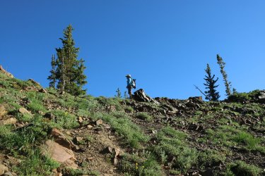
Amy is the first to reach Cardiff Pass
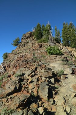
Well, it is essentially ridge walking from this point as we head off along the ridge to the
west. First stop will be that structure above
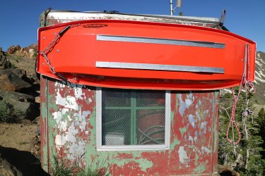
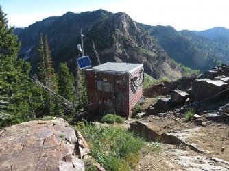
Arriving at the structure. Jon told us that it is used for some of the remote avalanche control apparatuses. Sorry, I don't know the
official terms form them. On the second, shot that is Flagstaff Mountain in the background.
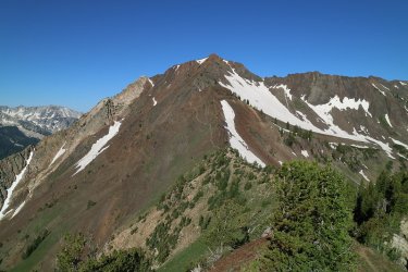
Our first good view of Mount Superior
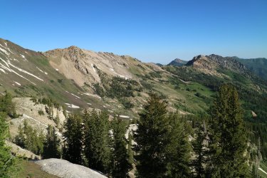
Looking at the ridge that runs north from Superior
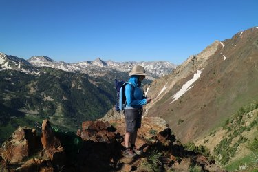
Amy on the ridge
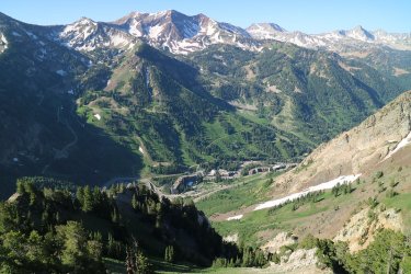
Looking down at Snowbird ski resort
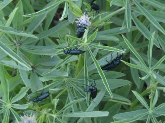
Some beetles were eating the flowers and leaves of a lupine plant
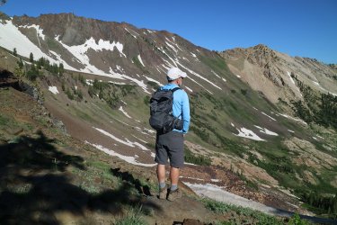
Jon taking it all in
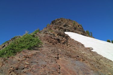
Just making our way west across the ridge
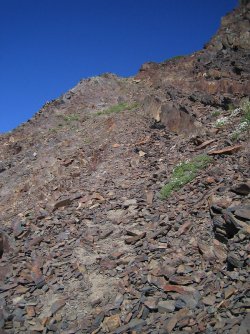
Steepness has set in I'm afraid
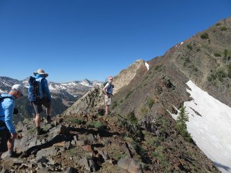
Not a good choice to follow me.
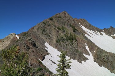
False summit ahead
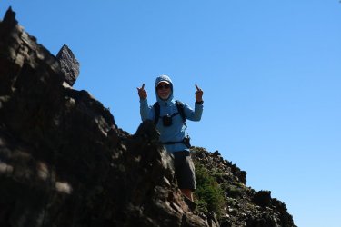
Jon, telling me how he really feels about our route.
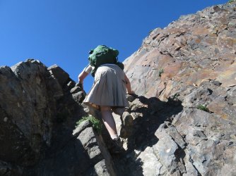
Lots of this to the top
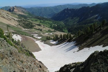
Looking down into Mill D
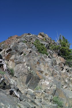
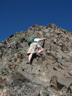
Fun scrambling here
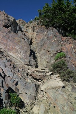
Yep, that way.
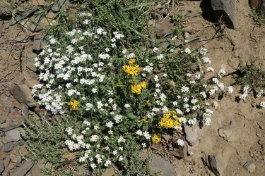
I didn't concentrate on taking wildflower shots this trip, but this grouping was pretty enough
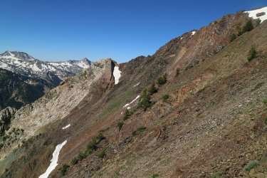
Looking at the south ridge of Superior. People take this route to get to the summit too.
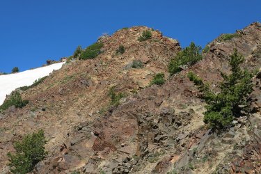
Still working our way up
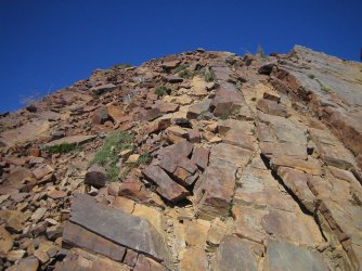
Looking up at the false summit
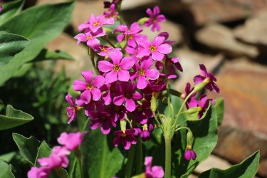
Parry's primrose
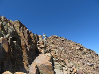
Coming to the end of a knife's edge
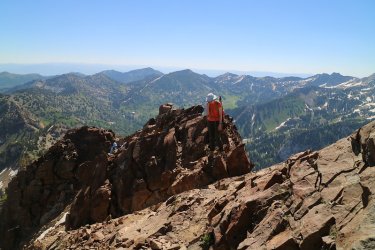
Katie, Jon and Amy making their way over the knife's edge
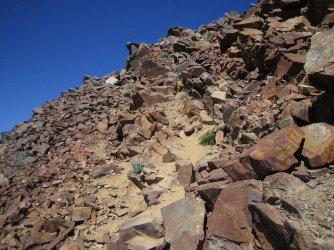
Push to the summit
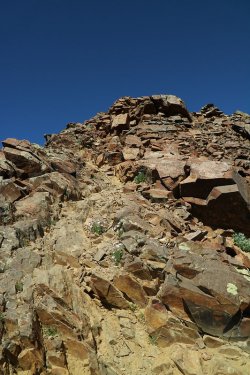
It almost seems within reach.
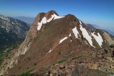
Summit view - Monte Cristo to the west
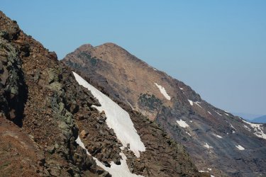
Summit view - Broads Fork Twin Peaks also to the west. They are the first peaks on the western end of the Cottonwood Ridge
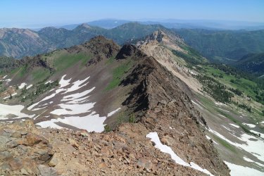
Summit view - The ridge coming off Superior to the north
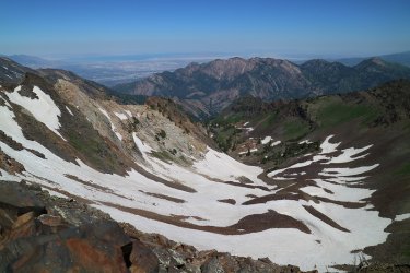
Summit view - view down into head of South Fork
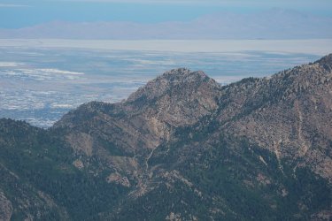
Summit view - zoomed in on Mount Olympus to the northwest
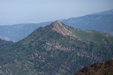
Summit view - zoomed in on Mount Raymond to the north, which Katie and I did last Saturday
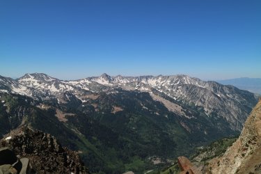
Summit view - the southern ridgeline of Little Cottonwood Canyon
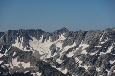
Summit view - zoomed in on Lone Peak to the southwest
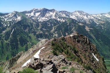
Summit view - the top of the south ridge of Superior
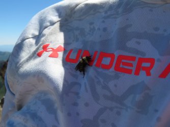
A bumblebee seems to like the Scatster.
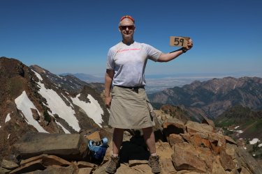
59 big ones!
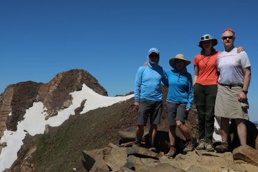
Obligatory summit shot, with Monte Cristo keeping us company
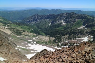
Another shot into Mill D with a better sun angle this time
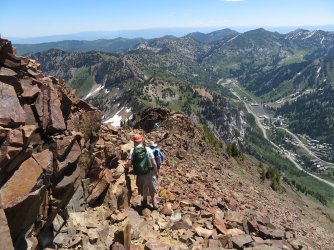
Time to head back down
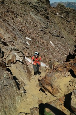
Katie is coming back up to the ridge
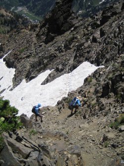
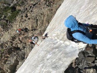
We took a little different route coming down, and this was a really steep section with a drop off to
the snow field
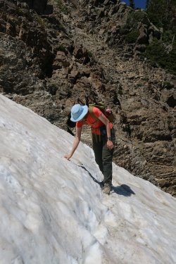
Katie, carefully making her way across the snow field, with a good look behind Katie of
what the dropdown to the snow field was like.
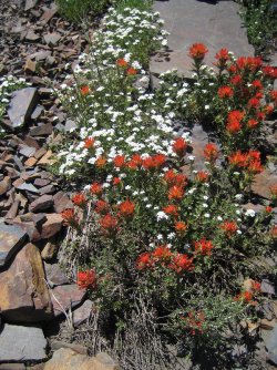
Paintbrush and nuttall's linanthus
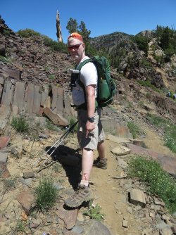
Wouldn't be a Scat hike without some Scat blood.
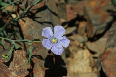
Lewis Flax
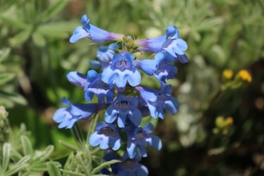
Wasatch beardtongue
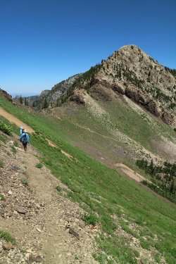
Almost back to Cardiff Pass
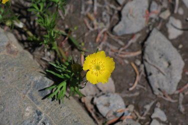
Buttercup
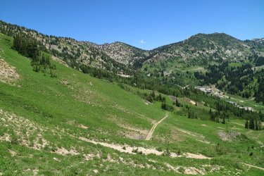
Heading back down from Cardiff Pass
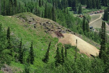
Abandoned mine with a sealed off shaft - Part of the Flagstaff Mine maybe?
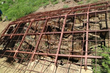
We hiked over to check it out
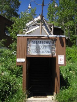
I understand this is no longer in business, but I liked the name
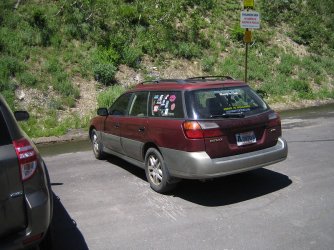
Back at the Sube.
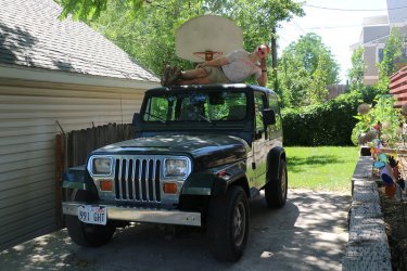
Not only was it my 59th, but it was my Jeep's 30th. Happy B-day old friend. A calendar shot @Rockskipper.

Of course, it's either the Red Iguana (Mexican food) or the Porcupine for nachos on my birthday. As you can see, I chose the nachos

A closer look for you. Yum!
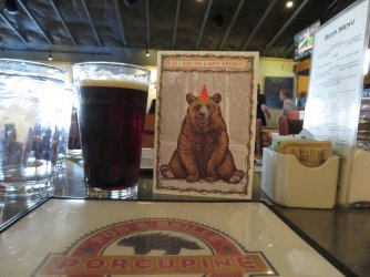
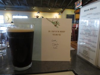
And Sheila picked up this card for me a few years back and kept forgetting to give it to me. I thought it was worth including in the
report. Also, take note of the Polygamy Porter on nitro to go with the nachos.
The End.
We met at the parking lot just east of the trailhead and pushed off around seven in the morning. The route to the top of Superior isn't very long, measuring in at about 2.2 miles, but it is a steep hike for a good portion, with plenty of scrambling, exposure and a knife's edge thrown in for good measure.

Ready to hike - waiting for Jon and Amy to show up. 59 degrees at the trailhead

The trail starts out on a road, Michigan City Road to be exact

You then have to take a left onto a two track old road that eventually leads to some abandoned mines

After walking the Jeep road for a bit, you have to take another left onto a single track that heads
uphill to Cardiff Pass which is located on the Cottonwood Ridgeline

As you gain elevation, the mountains on the south side of the canyon start to come into full view with the Pfeifferhorn (last years
birthday destination) showing off for us

Old cut tree from the mining days

Cardiff Pass above

A grouse near the trail
At this point, marmots and pikas started sounding off all across the hillside. With their voices echoing across the canyon. Katie spotted a fox above that was chasing a couple of grouse, so we assumed the marmots and pikas were sending out warnings of danger. This was the highlight of the hike for me.

If you look very carefully you should be able to see a fox standing up near the ridgetop.


A tolerant pika near the trail

And a cautious marmot

A little further up the trail, almost to the pass was one of the grouse that the fox was chasing

Amy is the first to reach Cardiff Pass

Well, it is essentially ridge walking from this point as we head off along the ridge to the
west. First stop will be that structure above


Arriving at the structure. Jon told us that it is used for some of the remote avalanche control apparatuses. Sorry, I don't know the
official terms form them. On the second, shot that is Flagstaff Mountain in the background.

Our first good view of Mount Superior

Looking at the ridge that runs north from Superior

Amy on the ridge

Looking down at Snowbird ski resort

Some beetles were eating the flowers and leaves of a lupine plant

Jon taking it all in

Just making our way west across the ridge

Steepness has set in I'm afraid

Not a good choice to follow me.

False summit ahead

Jon, telling me how he really feels about our route.

Lots of this to the top

Looking down into Mill D

Fun scrambling here

Yep, that way.

I didn't concentrate on taking wildflower shots this trip, but this grouping was pretty enough

Looking at the south ridge of Superior. People take this route to get to the summit too.

Still working our way up

Looking up at the false summit

Parry's primrose

Coming to the end of a knife's edge

Katie, Jon and Amy making their way over the knife's edge

Push to the summit

It almost seems within reach.

Summit view - Monte Cristo to the west

Summit view - Broads Fork Twin Peaks also to the west. They are the first peaks on the western end of the Cottonwood Ridge

Summit view - The ridge coming off Superior to the north

Summit view - view down into head of South Fork

Summit view - zoomed in on Mount Olympus to the northwest

Summit view - zoomed in on Mount Raymond to the north, which Katie and I did last Saturday

Summit view - the southern ridgeline of Little Cottonwood Canyon

Summit view - zoomed in on Lone Peak to the southwest

Summit view - the top of the south ridge of Superior

A bumblebee seems to like the Scatster.

59 big ones!

Obligatory summit shot, with Monte Cristo keeping us company

Another shot into Mill D with a better sun angle this time

Time to head back down

Katie is coming back up to the ridge

We took a little different route coming down, and this was a really steep section with a drop off to
the snow field

Katie, carefully making her way across the snow field, with a good look behind Katie of
what the dropdown to the snow field was like.

Paintbrush and nuttall's linanthus

Wouldn't be a Scat hike without some Scat blood.

Lewis Flax

Wasatch beardtongue

Almost back to Cardiff Pass

Buttercup

Heading back down from Cardiff Pass

Abandoned mine with a sealed off shaft - Part of the Flagstaff Mine maybe?

We hiked over to check it out

I understand this is no longer in business, but I liked the name

Back at the Sube.

Not only was it my 59th, but it was my Jeep's 30th. Happy B-day old friend. A calendar shot @Rockskipper.

Of course, it's either the Red Iguana (Mexican food) or the Porcupine for nachos on my birthday. As you can see, I chose the nachos

A closer look for you. Yum!


And Sheila picked up this card for me a few years back and kept forgetting to give it to me. I thought it was worth including in the
report. Also, take note of the Polygamy Porter on nitro to go with the nachos.
The End.
Last edited:

