Udink
Still right here.
- Joined
- Jan 17, 2012
- Messages
- 1,734
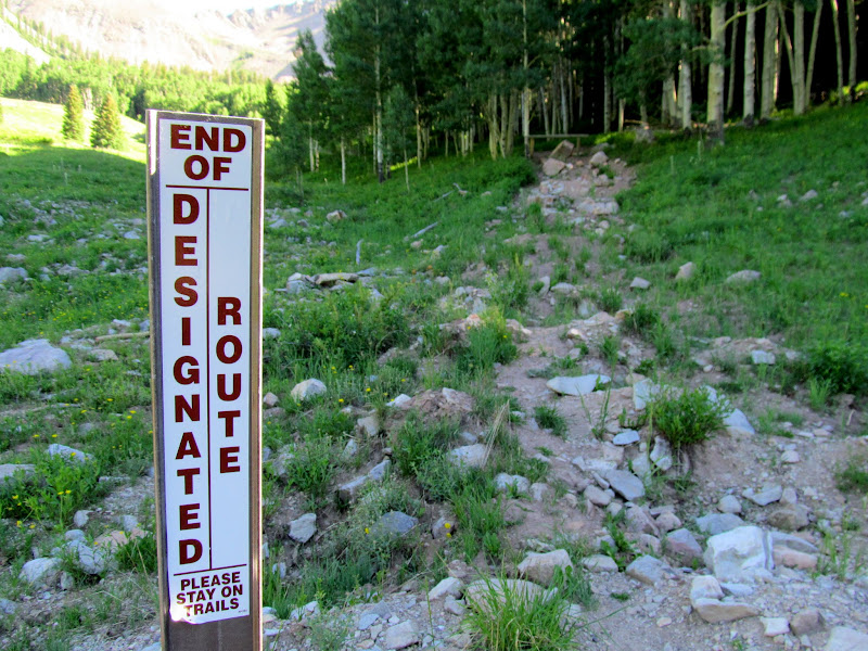
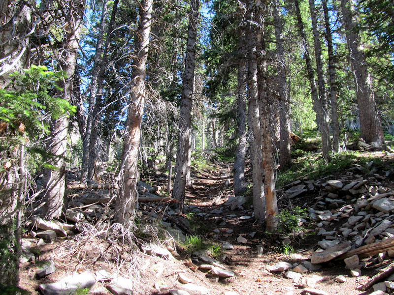
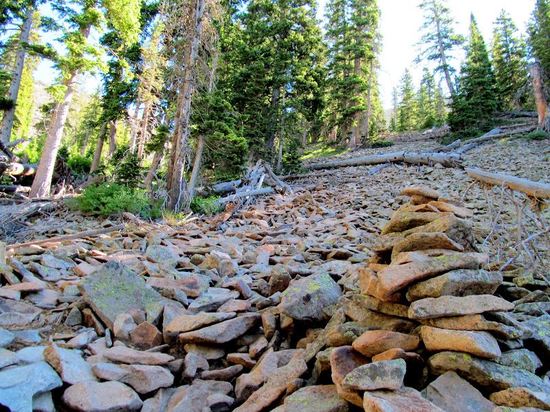
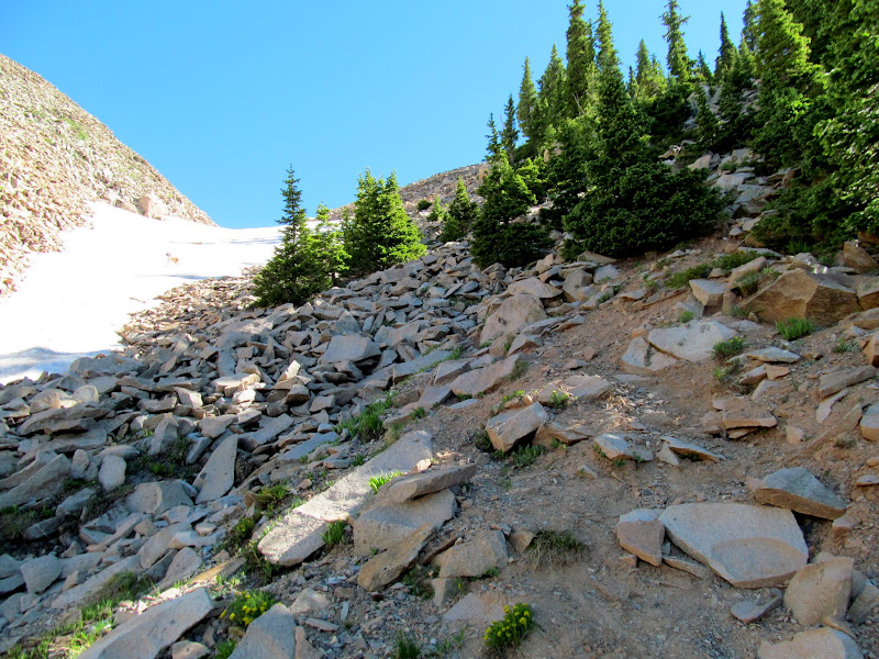
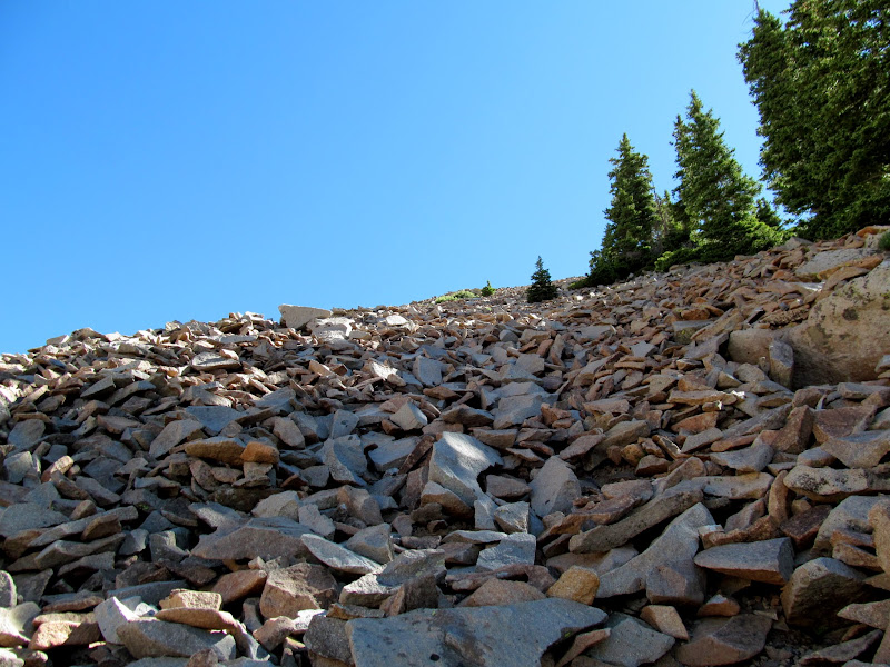
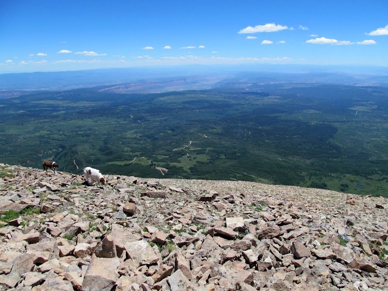
Trying to keep some momentum going from the previous weekend of hiking two Colorado 14ers, this weekend I hiked Mount Peale in the La Sals near Moab. It's the closest-to-home Utah county high point that I hadn't yet hiked, and also the highest point in both the La Sal Mountains and San Juan County at 12,721'. I drove the road as close as I could until hitting the Forest Service closure right at the 10,243' elevation mark on the USGS topo map. Neither Mount Peale nor the couloir leading up to the ridge could be seen through the trees from that spot. The pups and I hiked the road until a cairn directed me onto a trail/route through the trees and over a couple of talus slopes to the bottom of the couloir. The route was cairned most of the way and fairly easy to follow.
Unnecessary road reclamation and closure, and thus the beginning of my hike
Typical view of the lower route through the trees
Cairn at the base of a talus slope
Approaching the couloir
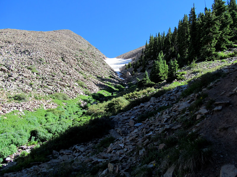
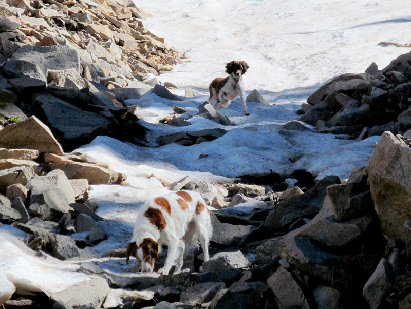
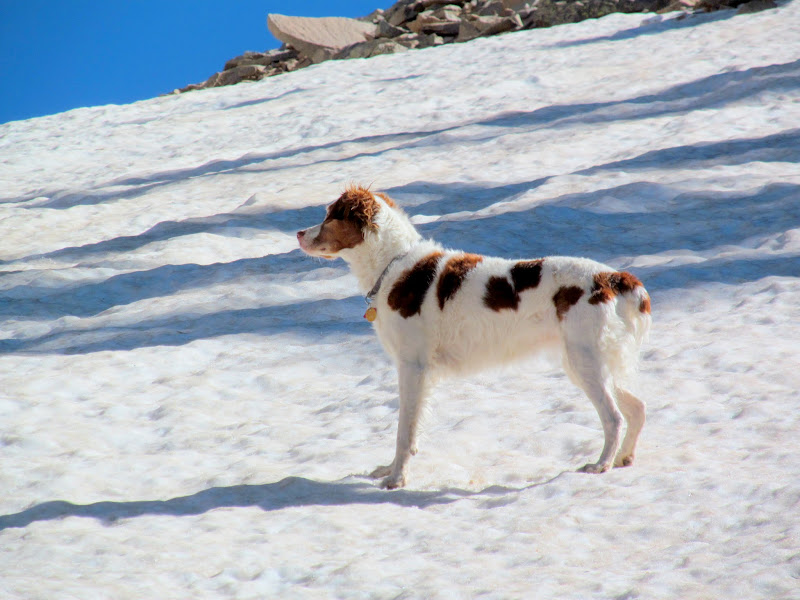
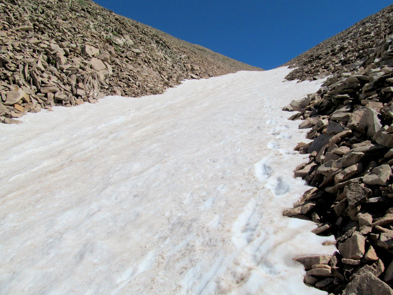
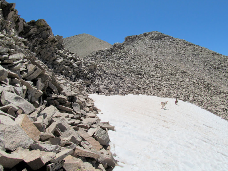
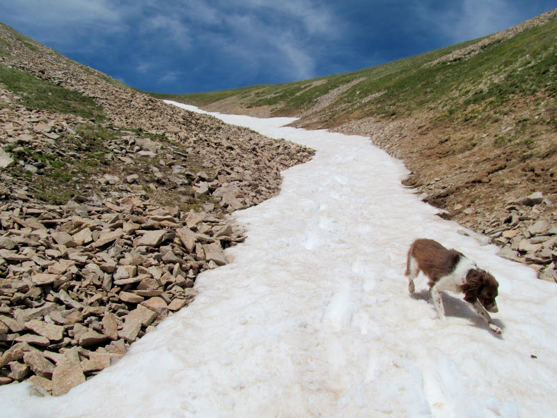
Once I could see the couloir I had a little anxiety while remembering my experience on Lavender Couloir the previous weekend, though this one didn't look nearly as steep. Down low there was an easy bypass of the snow on the right. Eventually, though, I had to dip my toes in. The dogs enjoyed being able to run freely all over the snow field but I was cautious and stuck to one side close to the rocks. I post-holed a couple of times, then tried briefly to climb up the talus. That led to a couple of terrifying slides where a large section of loose rock began to slide and cave in on itself. I could imagine myself being swallowed and pinned by hundreds or thousands of rocks, so I retreated to the snow line and ascended slowly and with relative ease. It was early enough in the day that the snow was still firm, but soft enough close to the edge that I had decent footing.
Puppies playing on the packed powder
Easy bypass of snow in the lower couloir
Torrey
Loose talus while bypassing the snow
Too-loose talus
Ascending along the snow's edge
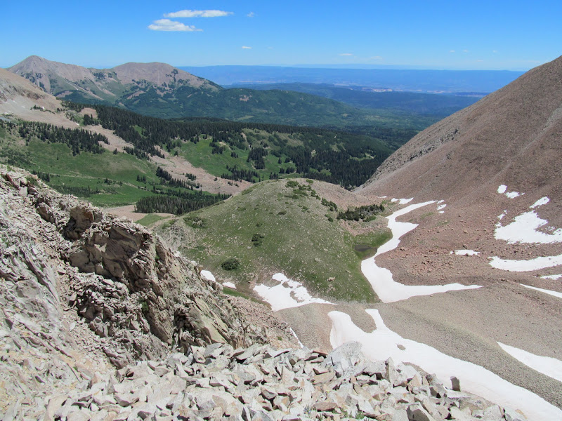
South Mountain above the couloir
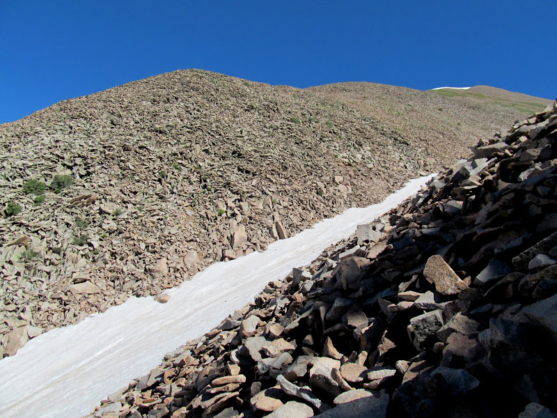
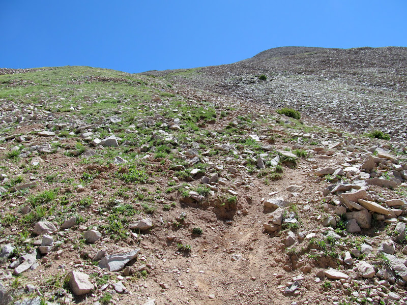
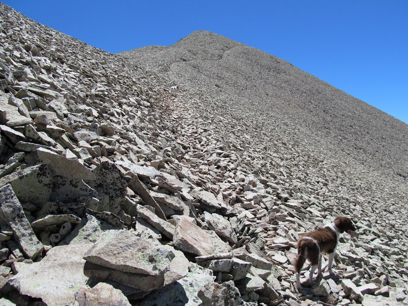
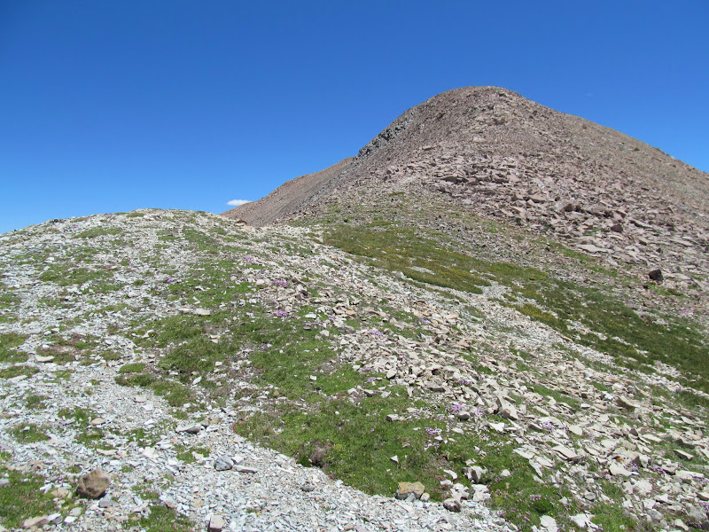
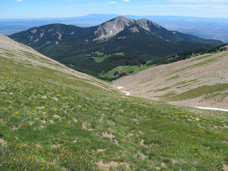
Near the top of the snow field the ribbon of white narrowed and a trail emerged. I followed the trail as it left the bottom of the gully and climbed steeply east toward the northern ridge of Mount Peale. About half way to the top of the ridge I lost the trail and could see nothing but loose talus above me, so I turned north again toward greener ground with stable footing. Once at the ridge there was a clear path through the talus all the way to the summit.
Steep climb to the Peale ridge
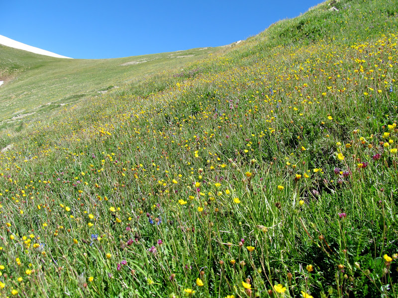
Stable footing and flowers
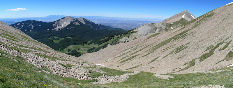
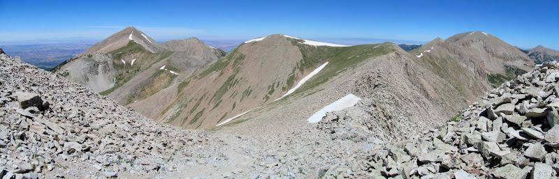
Panorama from the ridge showing South Mountain and Mount Tukuhnikivatz
Dark Canyon from the ridge
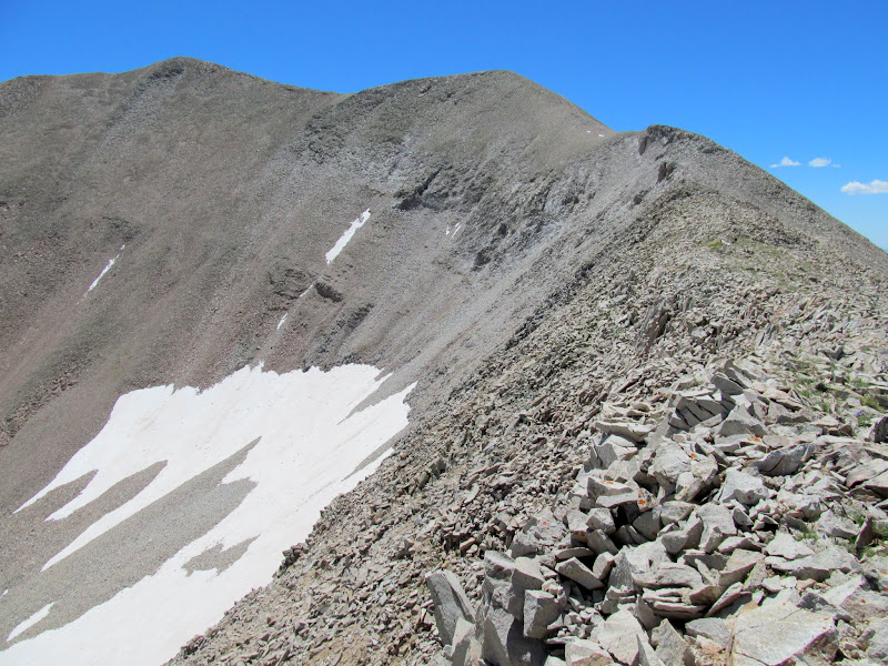
Final ridge to the summit
One last patch of snow to cross
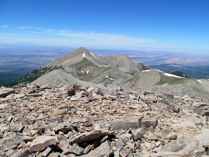
Panorama from the Mount Peal ridge, with Mount Tukuhnikivatz on the left and Mount Mellenthin on the right
Trail through the talus
Just below the summit
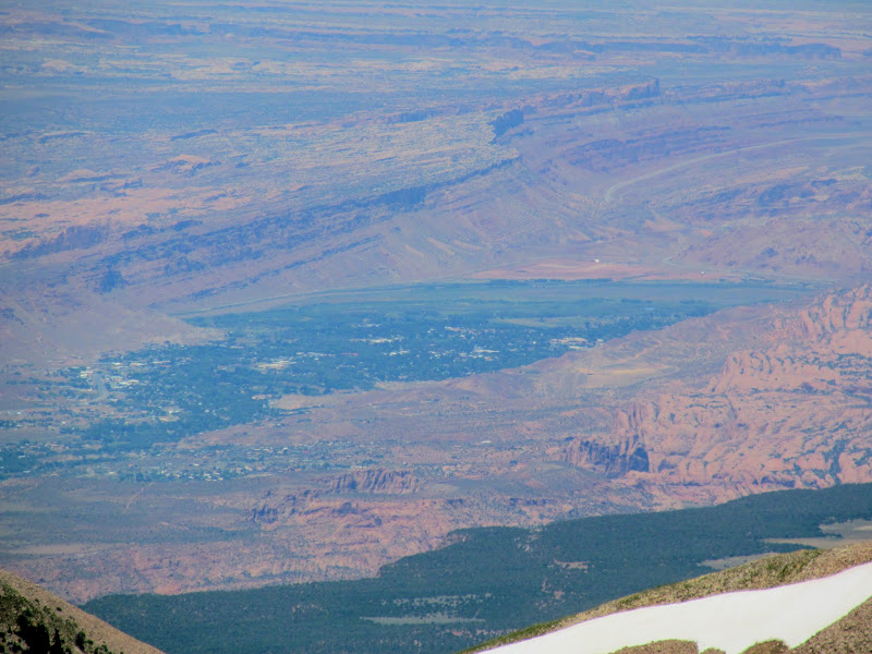
Moab
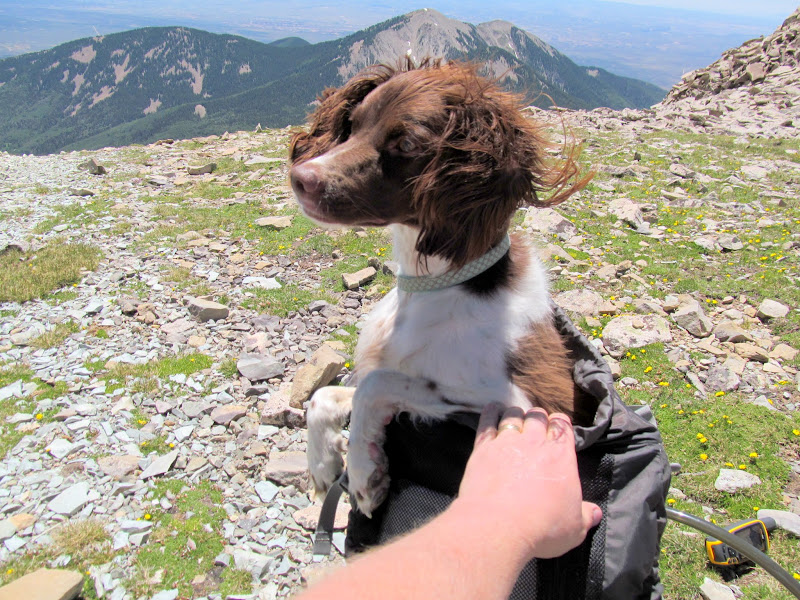
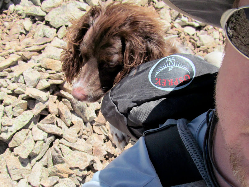
At the summit of Mount Peale the dogs and I rested, ate lunch, and hydrated. On the way up I'd noticed that Boulder seemed reluctant to follow me--usually she's in the lead far ahead. I checked her paws and several of her pads were torn and bleeding. Poor pup! I hiked down off the summit a short distance while observing her and decided I needed to carry her. I partially emptied my pack and strapped the gear to the outside, then lowered Boulder into the pack. Surprisingly, she didn't fight me one bit. She seemed to know what was going on and was grateful for a lift. My day pack and gear probably weighs a good 15 or 20 pounds, and with Boulder's 33 pounds it was heavier than my normal overnight pack weight. I carried her for half a mile, until we were past all of the talus.
View along the Peale ridge toward Tuk
Paradox Valley viewed from Mount Peale summit
Boulder all comfy in my backpack
Packing out the poor puppy
After finding a geocache, I started down the green slopes at the top of the couloir. Boulder went slowly but didn't seem as hesitant as before, at least not until we reached the snow. Then she balked again. I was sure I couldn't continue carrying her so I just kept descending and she followed. The snow was much softer in the afternoon and at first I could easily plunge-step quite quickly down the slope. As the couloir steepened I began skiing on my shoes, and eventually it was steep enough I had to sit down and glissade with a trekking pole dug in to control my speed. Both dogs followed close behind. It was a fun 1/3-mile descent that went very quickly. Near the bottom of the snow field I arrested my slide and got back on solid ground, where Boulder seemed to be doing much better. I think the cold on her feet helped a lot, and for the rest of the hike back to the Jeep she was her normal self, ranging ahead and smelling all the smells. It had been a mere 4.5 miles round trip, but with 2,500' elevation gain and snow and sore paws to contend with the 6.75 hours didn't seem all that unreasonable.
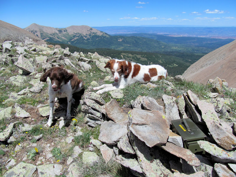
Dogs at a geocache (GC18B7)
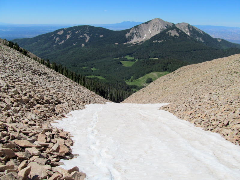
The couloir from the top
Descending the soft snow
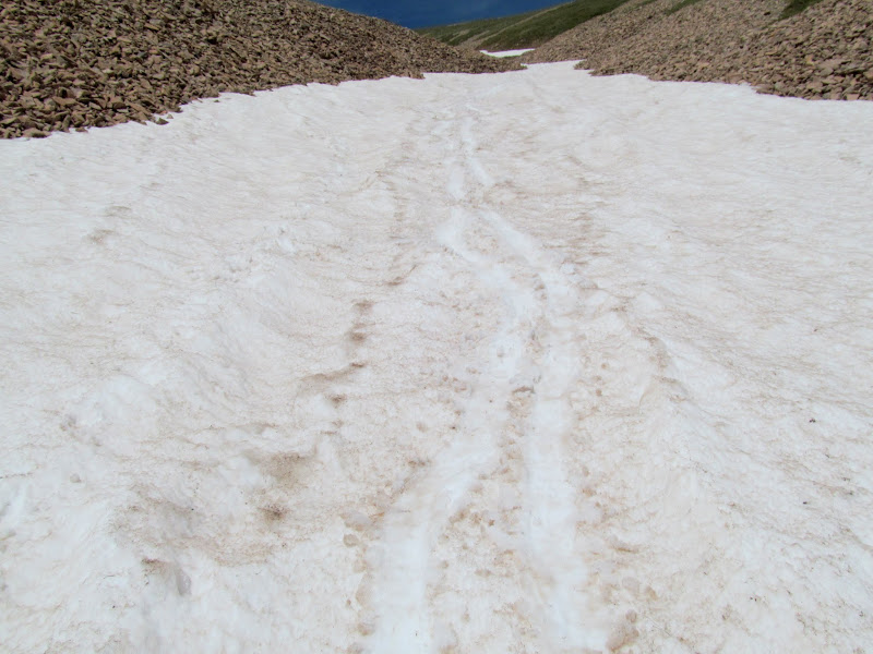
Tracks from my attempt at skiing
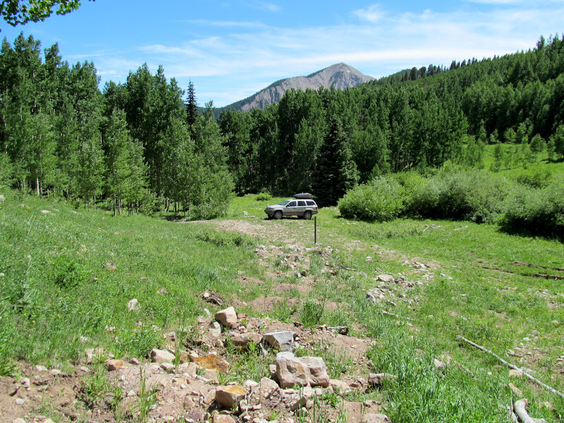
Jeep at the trailhead
GPS hike stats
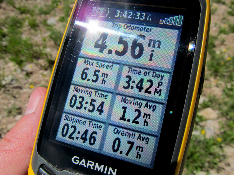
Photo Gallery: Mount Peale
GPS Track and Photo Waypoints:
[ Google Earth KMZ ] [ Gmap4 Satellite ] [ Gmap4 Topo ]
Unnecessary road reclamation and closure, and thus the beginning of my hike
Typical view of the lower route through the trees
Cairn at the base of a talus slope
Approaching the couloir
Once I could see the couloir I had a little anxiety while remembering my experience on Lavender Couloir the previous weekend, though this one didn't look nearly as steep. Down low there was an easy bypass of the snow on the right. Eventually, though, I had to dip my toes in. The dogs enjoyed being able to run freely all over the snow field but I was cautious and stuck to one side close to the rocks. I post-holed a couple of times, then tried briefly to climb up the talus. That led to a couple of terrifying slides where a large section of loose rock began to slide and cave in on itself. I could imagine myself being swallowed and pinned by hundreds or thousands of rocks, so I retreated to the snow line and ascended slowly and with relative ease. It was early enough in the day that the snow was still firm, but soft enough close to the edge that I had decent footing.
Puppies playing on the packed powder
Easy bypass of snow in the lower couloir
Torrey
Loose talus while bypassing the snow
Too-loose talus
Ascending along the snow's edge
South Mountain above the couloir
Near the top of the snow field the ribbon of white narrowed and a trail emerged. I followed the trail as it left the bottom of the gully and climbed steeply east toward the northern ridge of Mount Peale. About half way to the top of the ridge I lost the trail and could see nothing but loose talus above me, so I turned north again toward greener ground with stable footing. Once at the ridge there was a clear path through the talus all the way to the summit.
Steep climb to the Peale ridge
Stable footing and flowers
Panorama from the ridge showing South Mountain and Mount Tukuhnikivatz
Dark Canyon from the ridge
Final ridge to the summit
One last patch of snow to cross
Panorama from the Mount Peal ridge, with Mount Tukuhnikivatz on the left and Mount Mellenthin on the right
Trail through the talus
Just below the summit
Moab
At the summit of Mount Peale the dogs and I rested, ate lunch, and hydrated. On the way up I'd noticed that Boulder seemed reluctant to follow me--usually she's in the lead far ahead. I checked her paws and several of her pads were torn and bleeding. Poor pup! I hiked down off the summit a short distance while observing her and decided I needed to carry her. I partially emptied my pack and strapped the gear to the outside, then lowered Boulder into the pack. Surprisingly, she didn't fight me one bit. She seemed to know what was going on and was grateful for a lift. My day pack and gear probably weighs a good 15 or 20 pounds, and with Boulder's 33 pounds it was heavier than my normal overnight pack weight. I carried her for half a mile, until we were past all of the talus.
View along the Peale ridge toward Tuk
Paradox Valley viewed from Mount Peale summit
Boulder all comfy in my backpack
Packing out the poor puppy
After finding a geocache, I started down the green slopes at the top of the couloir. Boulder went slowly but didn't seem as hesitant as before, at least not until we reached the snow. Then she balked again. I was sure I couldn't continue carrying her so I just kept descending and she followed. The snow was much softer in the afternoon and at first I could easily plunge-step quite quickly down the slope. As the couloir steepened I began skiing on my shoes, and eventually it was steep enough I had to sit down and glissade with a trekking pole dug in to control my speed. Both dogs followed close behind. It was a fun 1/3-mile descent that went very quickly. Near the bottom of the snow field I arrested my slide and got back on solid ground, where Boulder seemed to be doing much better. I think the cold on her feet helped a lot, and for the rest of the hike back to the Jeep she was her normal self, ranging ahead and smelling all the smells. It had been a mere 4.5 miles round trip, but with 2,500' elevation gain and snow and sore paws to contend with the 6.75 hours didn't seem all that unreasonable.
Dogs at a geocache (GC18B7)
The couloir from the top
Descending the soft snow
Tracks from my attempt at skiing
Jeep at the trailhead
GPS hike stats
Photo Gallery: Mount Peale
GPS Track and Photo Waypoints:
[ Google Earth KMZ ] [ Gmap4 Satellite ] [ Gmap4 Topo ]