- Joined
- Dec 23, 2013
- Messages
- 4,116
While I've hiked most of the summits in the Wasatch, one that has eluded me is Mount Nebo. So yesterday, I loaded the family in the Subaru (think of the Griswolds in Vacation) and we headed south to see if we could summit Nebo.
We arrived at the trailhead a couple of minutes before 7:00 am and hit the trail. As we made our way up the mountain, the wildflowers were still doing well, particularly at the higher elevations with the Lupine being especially fragrant.
We had to contend with a couple of steep sections: the first as you gain the main ridge just north of North Peak, and the second, when you begin the summit push from Wolf Pass.
The valleys here in northern Utah had had smoke from fires in California for a few days, but we were fortunate that the air had cleared out a bit and that we had some relatively nice views when we got to the top.
While heading up, the temperatures were perfect, but on our way down, the day warmed up considerably. I'm finding as I get older, that I don't like the heat as much.
Anyway, here are some shots of our hike, and I found that I had a really enjoyable time and wondered to myself why I had never attempted this before.
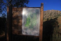
Posted map at the trailhead
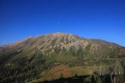
The gibbous Moon over Nebo
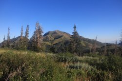
Bald Mountain to our north
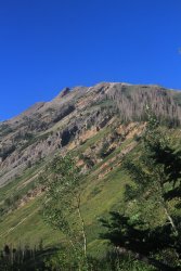
Looking up the ridge towards North Peak
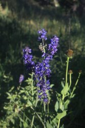
Tall Larkspur and some out-of-focus Coneflowers
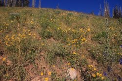
Lots of Showy Goldeneye on this hike
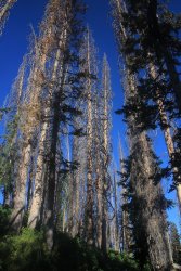
Beetle kill?
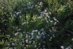
Gray Aster
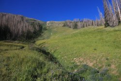
Pretty easy hiking up to this point. This is where the first steep section begins as it runs along the tree line on the right side of the
photo up to the top of the ridge.
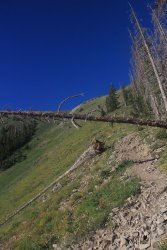
This shot gives one a feeling of the steepness of the trail.
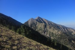
Once on the ridge, we caught our first view of Nebo
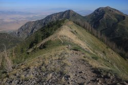
Looking back north along the ridgeline, with Bald Mountain in the distance
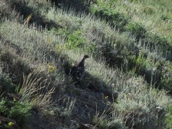
There always seems to be grouse on our Wasatch hikes.
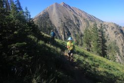
Heading towards Wolf Pass with Nebo looming above
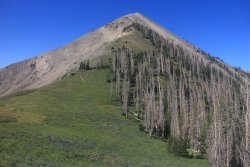
The next steep section ahead as we approach Wolf Pass
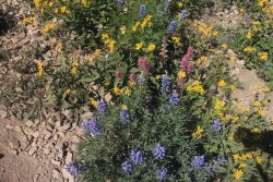
Some Lupine, Paintbrush and Goldeneye at the pass
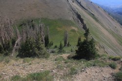
Heading up the second steep section while looking back down at Wolf Pass
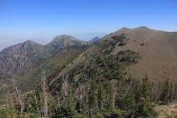
Looking back at North Peak and Bald Mountain
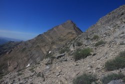
The summit block comes into view
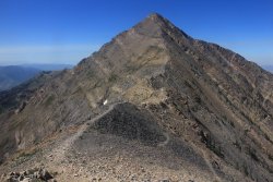
Mount Nebo - the actual summit is just out of view, maybe 100-150 feet beyond the pictured high point
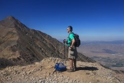
Ready for the final push....... I think.
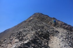
Almost there
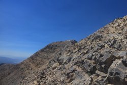
The previously hidden summit comes into view
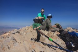
On top. It kind of looks like I'm giving my son a much needed elbow to his head.
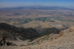
The community of Mona down below to the west
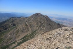
The south summit of Mount Nebo
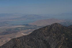
Utah Lake to the northwest
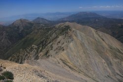
The way back
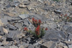
Some Indian paintbrush holding on in the rocky terrain
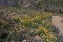
More goldeneye along the trail
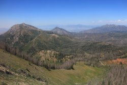
A look to the north on our way down with Bald Mountain, Dry Mountain and Loafer Mountain keeping us company for the time
being.
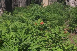
The trail runs through a nice stretch of Elderberry Shrubs
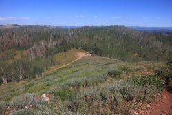
The trailhead is within sight!
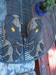
My Moab Ventilators after the hike! You can see along the outside of each heel where some of the tread has come off. This pair is relatively new. This is my sixth pair of ventilators and this has never happened before. Has anyone else had this same experience?
We arrived at the trailhead a couple of minutes before 7:00 am and hit the trail. As we made our way up the mountain, the wildflowers were still doing well, particularly at the higher elevations with the Lupine being especially fragrant.
We had to contend with a couple of steep sections: the first as you gain the main ridge just north of North Peak, and the second, when you begin the summit push from Wolf Pass.
The valleys here in northern Utah had had smoke from fires in California for a few days, but we were fortunate that the air had cleared out a bit and that we had some relatively nice views when we got to the top.
While heading up, the temperatures were perfect, but on our way down, the day warmed up considerably. I'm finding as I get older, that I don't like the heat as much.
Anyway, here are some shots of our hike, and I found that I had a really enjoyable time and wondered to myself why I had never attempted this before.

Posted map at the trailhead

The gibbous Moon over Nebo

Bald Mountain to our north

Looking up the ridge towards North Peak

Tall Larkspur and some out-of-focus Coneflowers

Lots of Showy Goldeneye on this hike

Beetle kill?

Gray Aster

Pretty easy hiking up to this point. This is where the first steep section begins as it runs along the tree line on the right side of the
photo up to the top of the ridge.

This shot gives one a feeling of the steepness of the trail.

Once on the ridge, we caught our first view of Nebo

Looking back north along the ridgeline, with Bald Mountain in the distance

There always seems to be grouse on our Wasatch hikes.

Heading towards Wolf Pass with Nebo looming above

The next steep section ahead as we approach Wolf Pass

Some Lupine, Paintbrush and Goldeneye at the pass

Heading up the second steep section while looking back down at Wolf Pass

Looking back at North Peak and Bald Mountain

The summit block comes into view

Mount Nebo - the actual summit is just out of view, maybe 100-150 feet beyond the pictured high point

Ready for the final push....... I think.

Almost there

The previously hidden summit comes into view

On top. It kind of looks like I'm giving my son a much needed elbow to his head.

The community of Mona down below to the west

The south summit of Mount Nebo

Utah Lake to the northwest

The way back

Some Indian paintbrush holding on in the rocky terrain

More goldeneye along the trail

A look to the north on our way down with Bald Mountain, Dry Mountain and Loafer Mountain keeping us company for the time
being.

The trail runs through a nice stretch of Elderberry Shrubs

The trailhead is within sight!

My Moab Ventilators after the hike! You can see along the outside of each heel where some of the tread has come off.
Last edited:
