Udink
Still right here.
- Joined
- Jan 17, 2012
- Messages
- 1,734
It's been a long time since I wrote a trip report for my blog, let alone posted one here. But I'm trying to catch up so I figured I'd post this one.
August 27-28, 2020
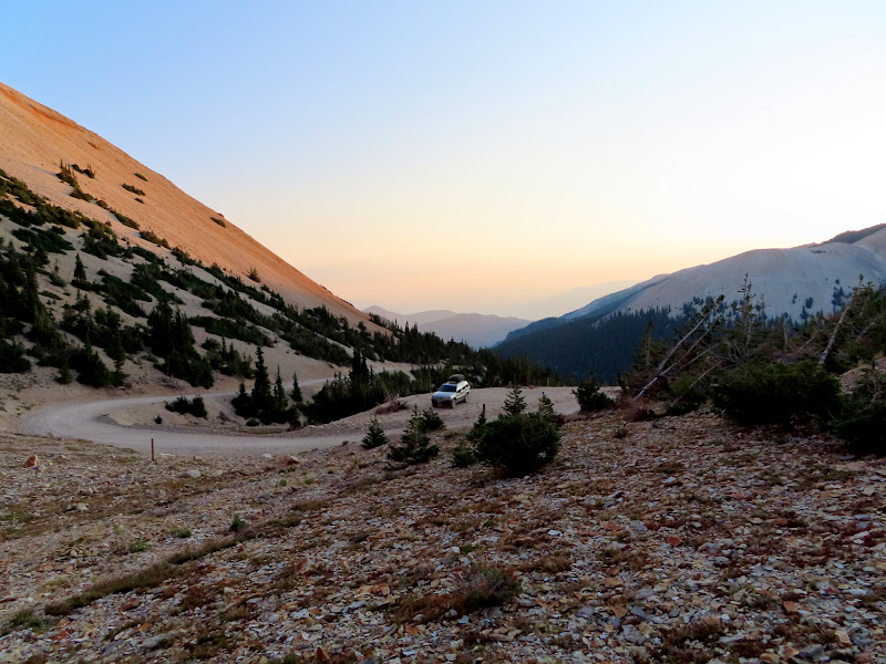
Two weeks before this trip I'd spent five days in the Tushar Mountains, hiking to Circleville Mountain and Blue Lake, and I'd hoped to also summit Mount Belknap but the other hikes wore me out too much. So, I returned a couple of weeks later with rested legs and finally bagged this peak. I took Friday off work and drove down Thursday evening, passing through Marysvale on my way up Beaver Creek Road. I found a spot to pull off the road at the head of Bullion Canyon and Pine Creek, and slept in the back of my Jeep that night.
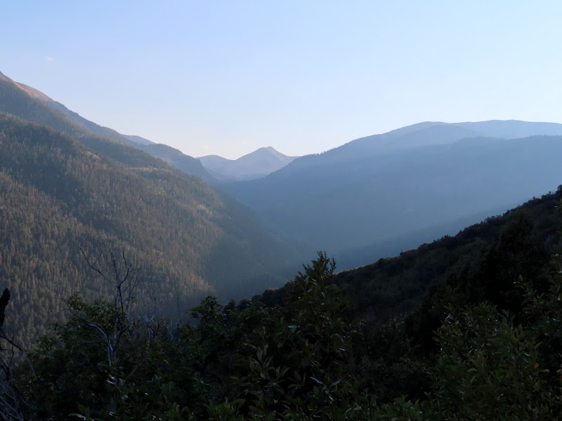
View up Beaver Creek toward Mount Belknap
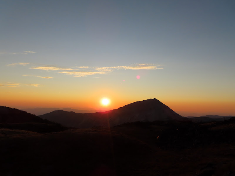
The sun setting over Mount Baldy
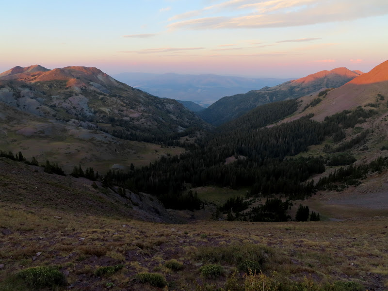
The head of Bullion Canyon and Pine Creek
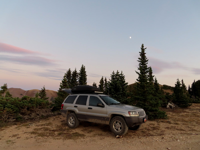
My camp spot
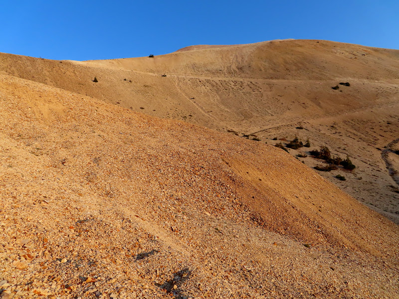
I was up at sunrise on Friday morning. I drove less than two miles to where I'd planned on starting the hike, at the bottom of an old, reclaimed mining road that zig-zags up to the ridge extending southeast from Mount Belknap. It was easy-going and I reached the top of the ridge in about 35 minutes.
Parking spot along Beaver Creek Road
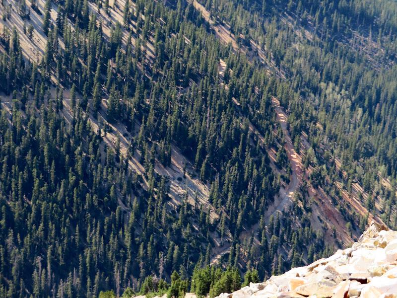
Old mining road zig-zagging up the mountain
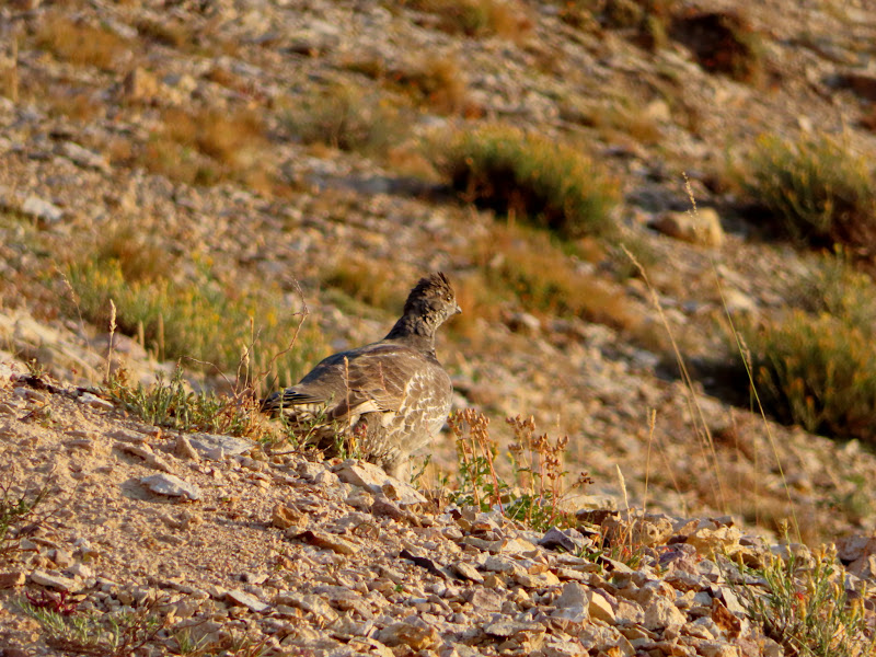
Sage grouse
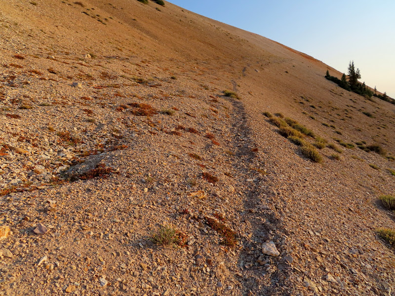
Hiking trail on the reclaimed road
On top of the ridge
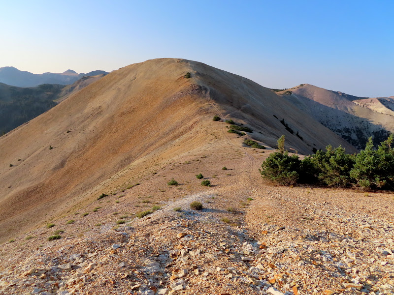
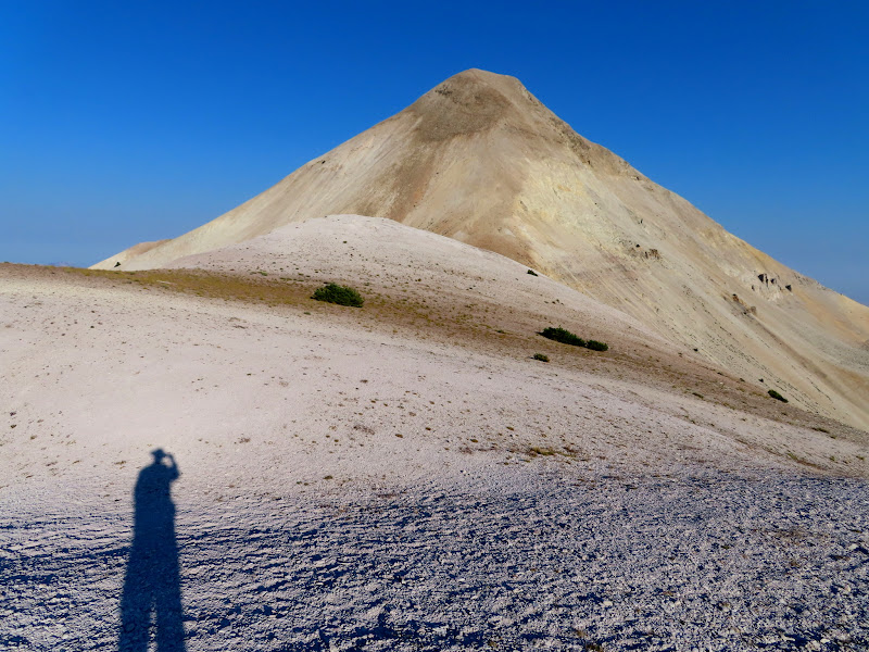
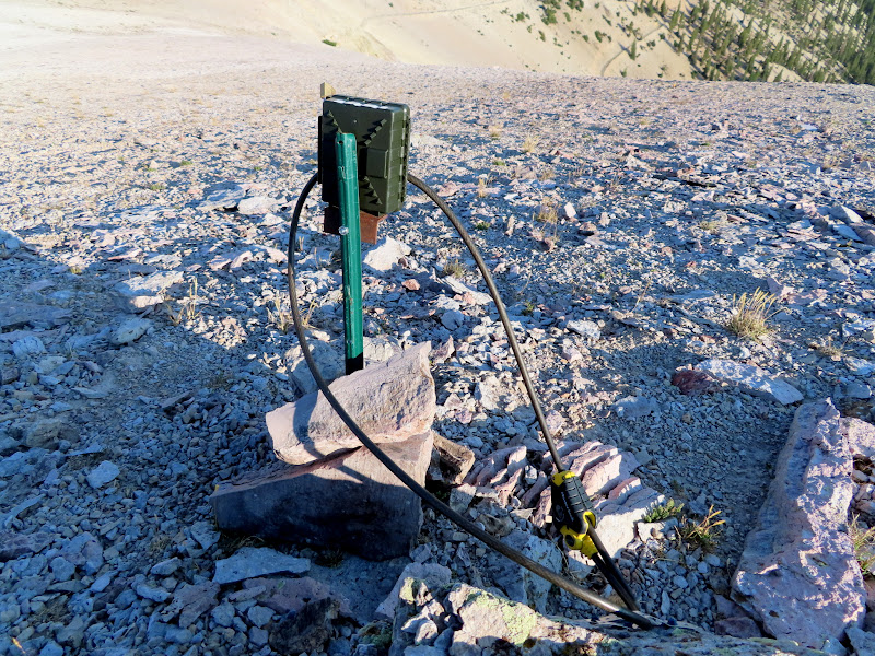
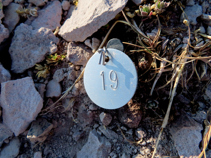
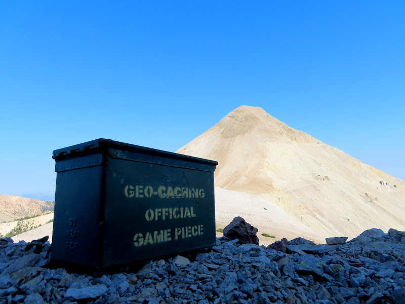
The mining track only extended a short distance around a big hill on the ridge, and after that I followed a hiking trail that traverses the hill's steep western slope. That part was mostly easy, but one section across very firm dirt was a little worrying. The footing wasn't great, and a slip here would probably send me sliding down the steep hillside for quite a distance. I made it to the saddle between the hill and Belknap. There I found a wildlife camera on a steel post, and all over the hillside in front of it were metal tags nailed to the ground, each with a different number stamped on it. I also found a geocache nearby, then headed toward the start of the very steep ascent to the summit.
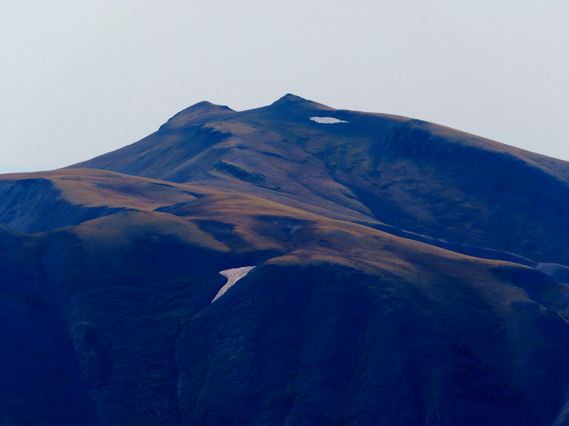
Mount Baldy
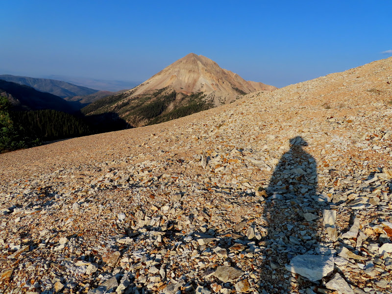
First good view of Mount Belknap
Tough section of trail
Mount Belknap
Wildlife camera
Metal tag
Geocache in the saddle below Belknap
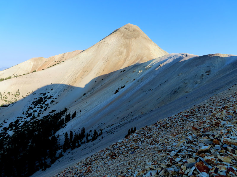
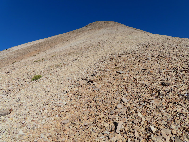
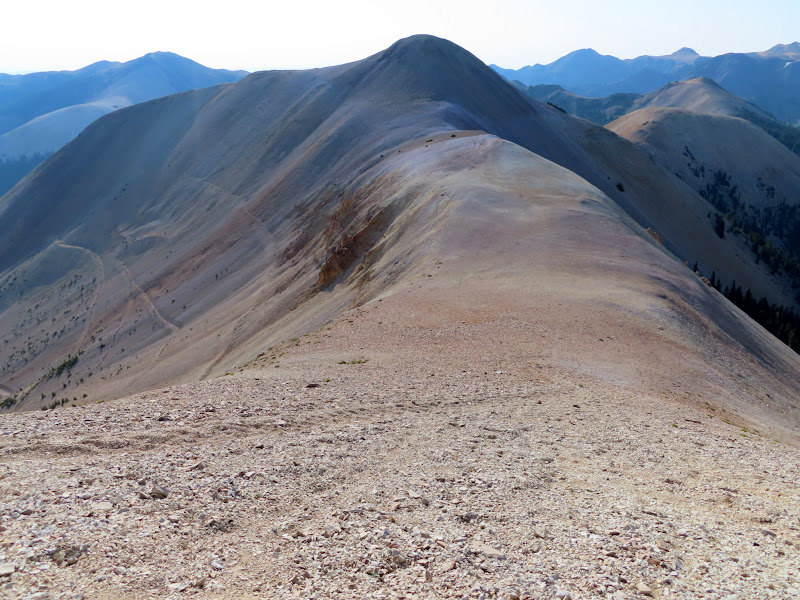
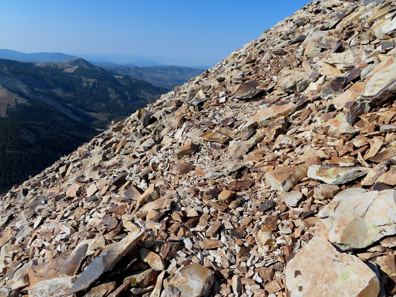
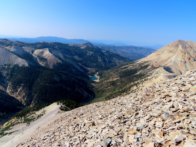
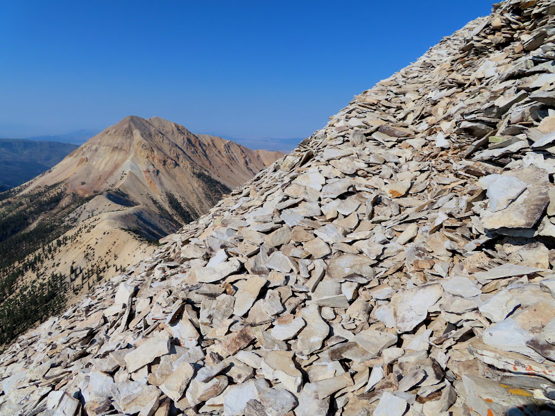
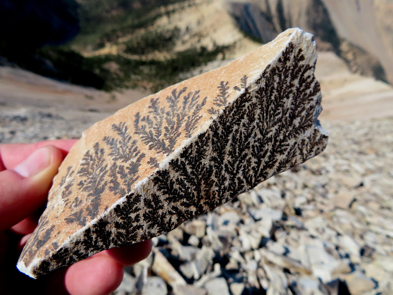
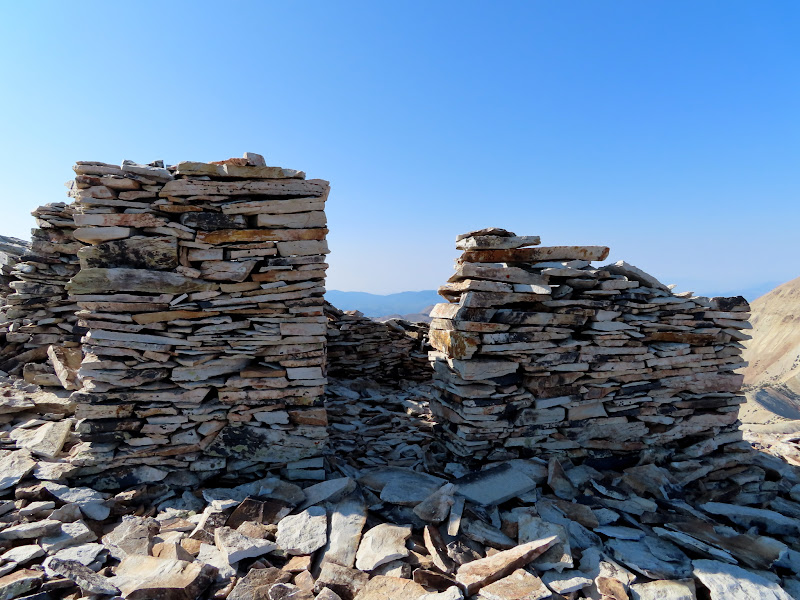
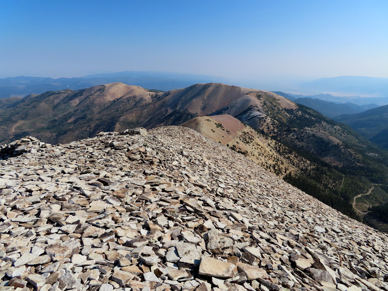
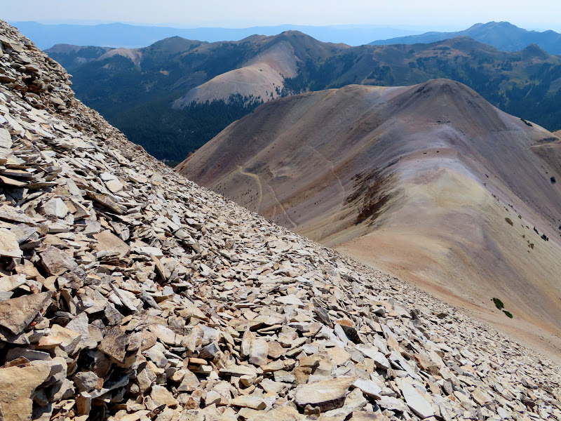
It looked like a very daunting climb from below, but as I made the climb I found faint trails through the talus that made it easier. The rocks everywhere were covered in dendrites, forming beautiful black patterns on the light-colored rock. The trail carried me below the summit and I topped out on a ridge just west of the high point. There were several summit shelters, some of them quite well built with multiple rooms and nice, square walls.
The steep eastern face of Mount Belknap
View down toward the saddle
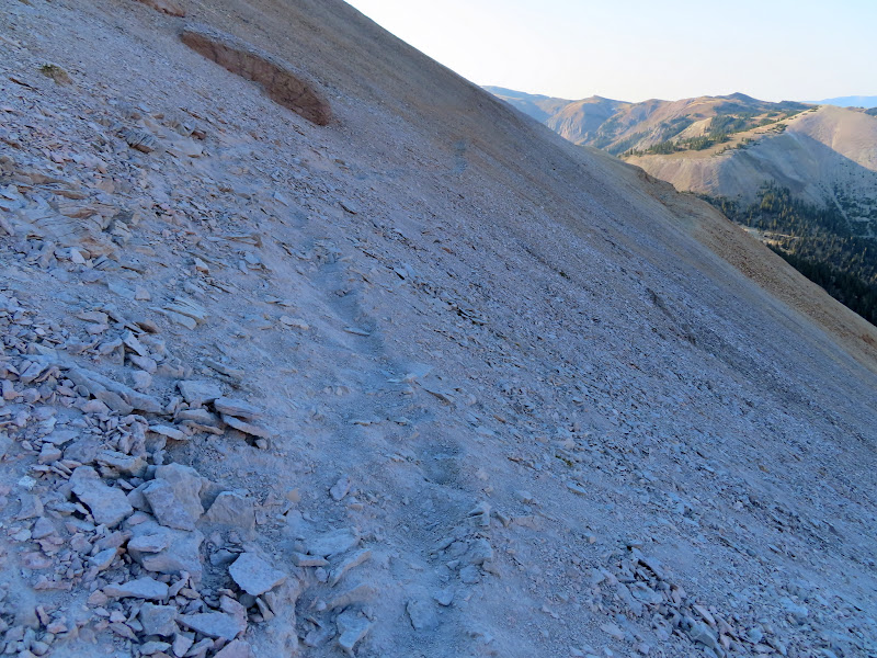
Not much of a trail in some places
Blue Lake
Sort of a trail
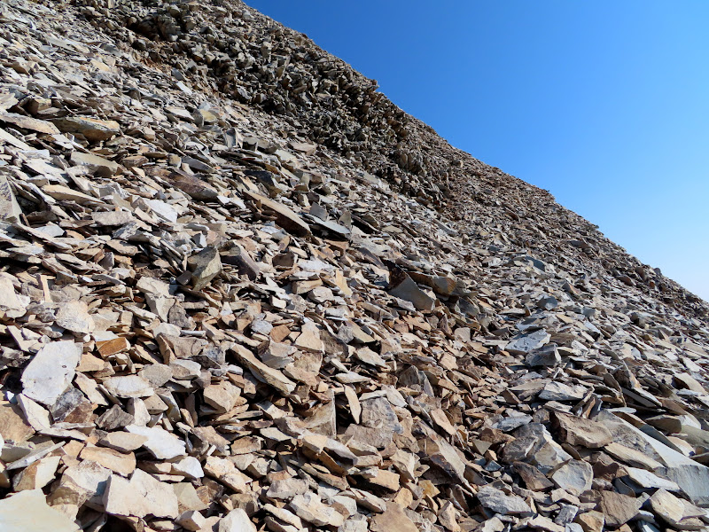
A decent trail through the rocks
Dendrites
One of several summit shelters
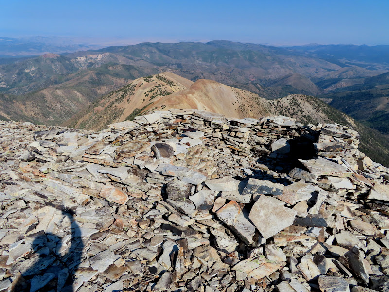
Summit shelter walls
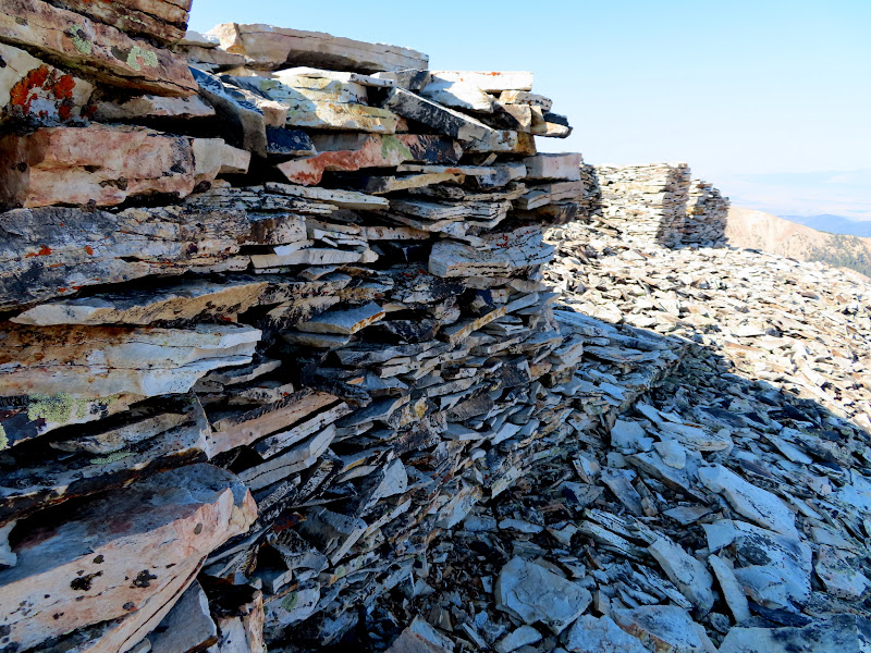
Summit shelter walls
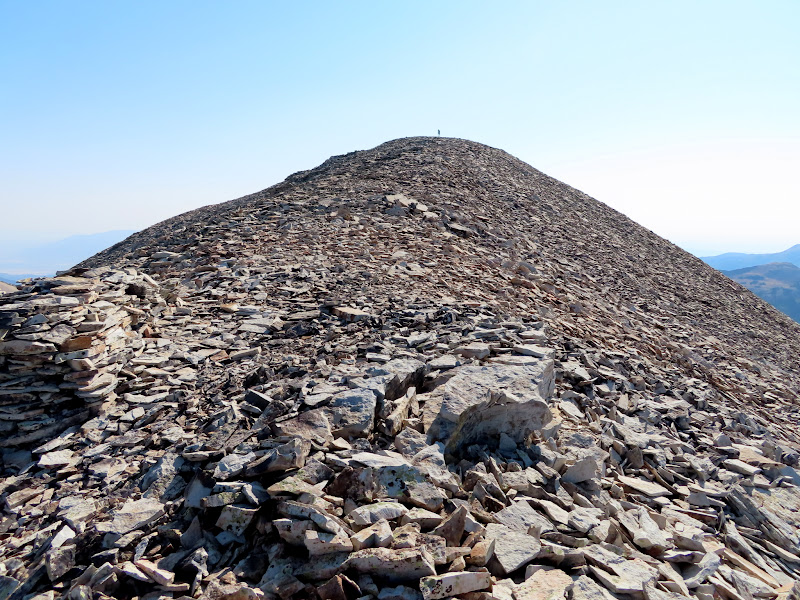
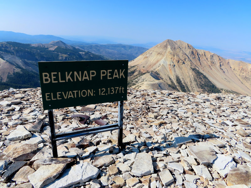
It was a short, easy walk the rest of the way to the summit. I signed the summit register and read through some of the logs, then sat in a nearby summit shelter and ate lunch while enjoying the views all around.
Last small push to the summit
Stupid sign on Mount Belknap
Delano Peak
Signal Peak and Gold Mountain to the north
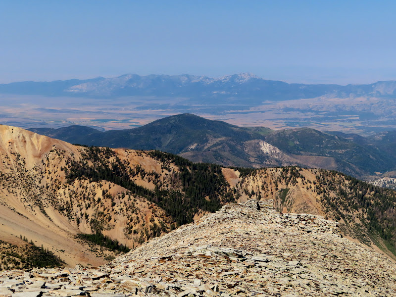
Mineral Mountains 22 miles to the west
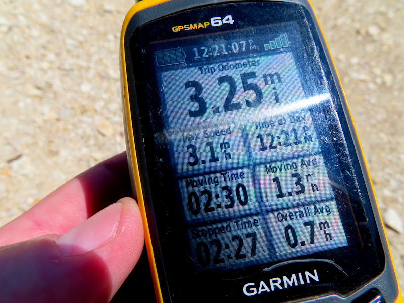
I cruised back down from the mountain, meeting a couple in the saddle who were on their way up. We chatted briefly from a distance and they inquired about the difficulty of the steep part of the climb, and I assured them that it wasn't nearly as bad as it looked from there. I got back to my Jeep a little after noon, having spent five hours on the trail despite it only being 3.25 miles round-trip.
Heading back down into the saddle
Steep road climbing up from Blue Lake that I'd walked two weeks earlier
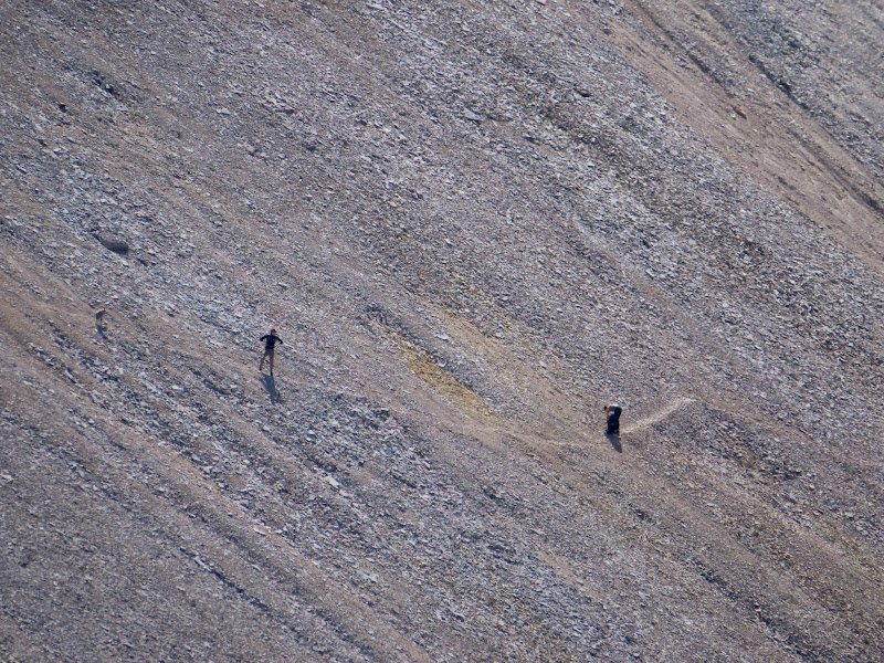
A couple and their dog hiking up Belknap
Hike stats
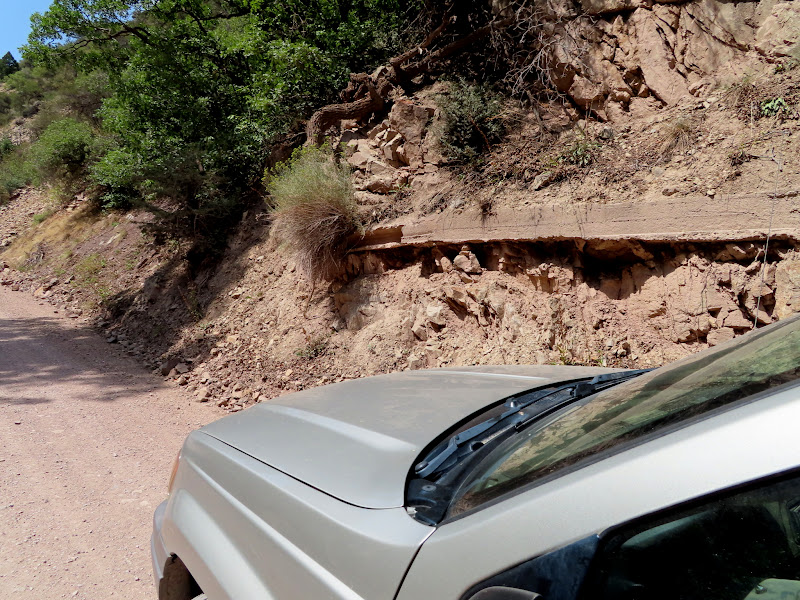
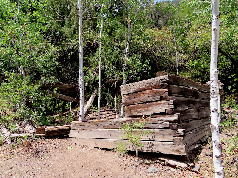
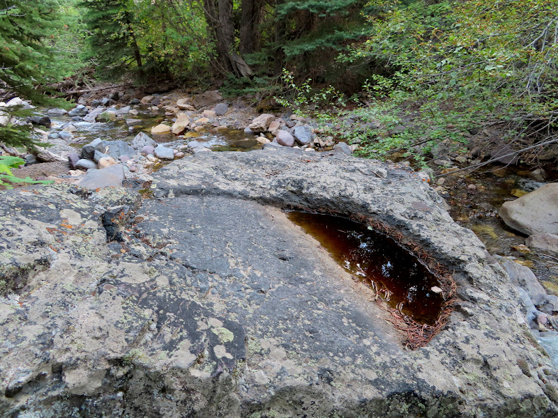
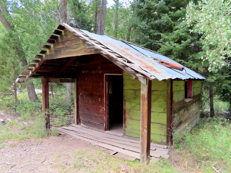
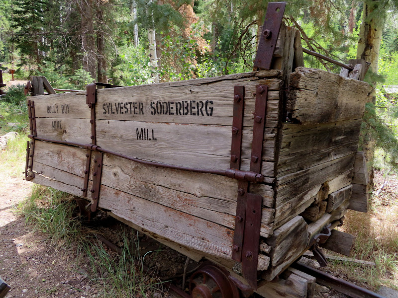
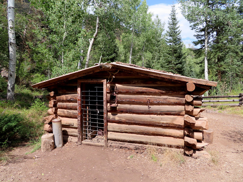
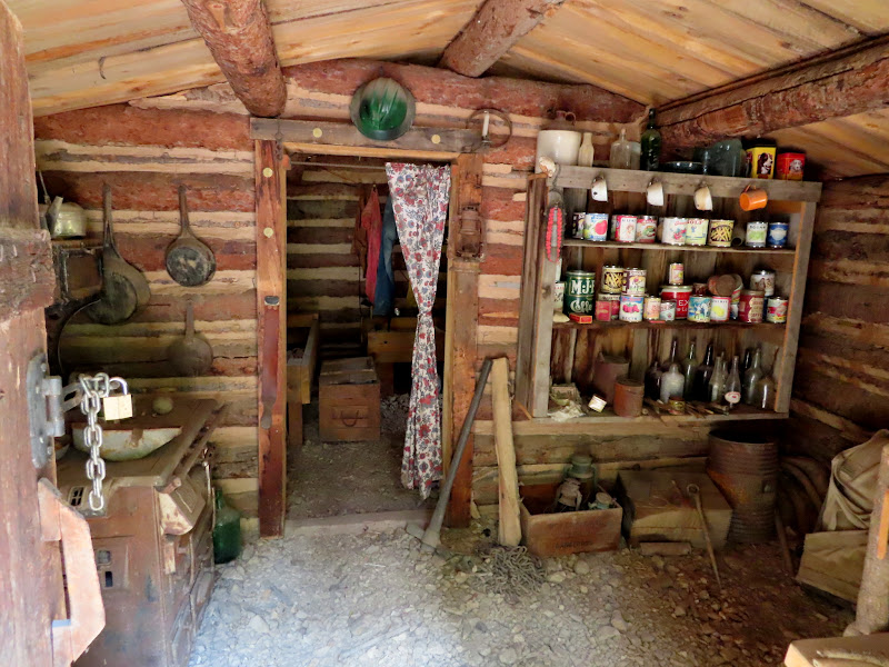
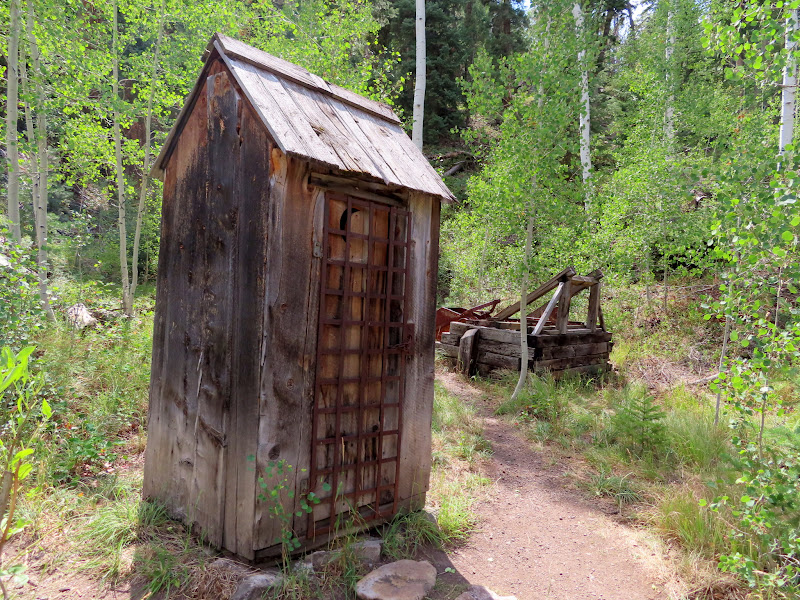
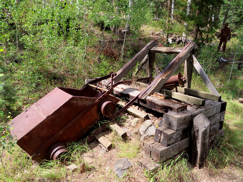
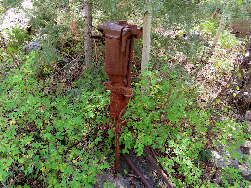
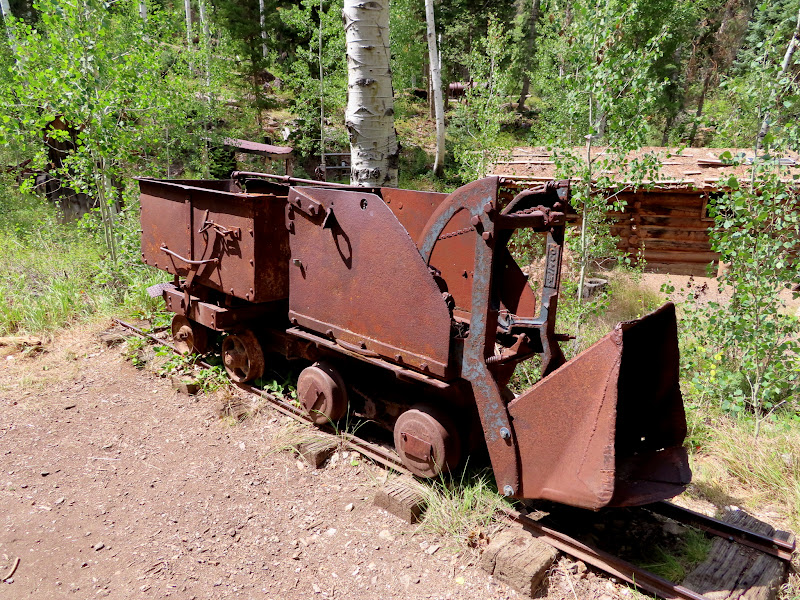
My plan for the rest of the day was to explore Bullion Canyon and spend another night before going home, but there wasn't as much to see there as I'd expected. There were a few scattered cabins and some old mining equipment throughout the canyon, and at Miner's Park there was a large collection of buildings and equipment, with interpretive signs explaining the area's history and the function of the machinery. Some of the larger, more interesting buildings in the canyon were on private property and had No Trespassing signs posted. I finished up much earlier than I'd planned, so instead of camping another night I drove home and made it there in time for dinner.
Concrete pipe in Bullion Canyon
Railroad tie cabin
Arrastra along Pine Creek
Cabin at Miner's Park
Ore car
Miner's Park cabin
Inside the cabin
Outhouse
Ore car for steep grades
Pneumatic drill
Shovel and ore car
August 27-28, 2020
Two weeks before this trip I'd spent five days in the Tushar Mountains, hiking to Circleville Mountain and Blue Lake, and I'd hoped to also summit Mount Belknap but the other hikes wore me out too much. So, I returned a couple of weeks later with rested legs and finally bagged this peak. I took Friday off work and drove down Thursday evening, passing through Marysvale on my way up Beaver Creek Road. I found a spot to pull off the road at the head of Bullion Canyon and Pine Creek, and slept in the back of my Jeep that night.
View up Beaver Creek toward Mount Belknap
The sun setting over Mount Baldy
The head of Bullion Canyon and Pine Creek
My camp spot
I was up at sunrise on Friday morning. I drove less than two miles to where I'd planned on starting the hike, at the bottom of an old, reclaimed mining road that zig-zags up to the ridge extending southeast from Mount Belknap. It was easy-going and I reached the top of the ridge in about 35 minutes.
Parking spot along Beaver Creek Road
Old mining road zig-zagging up the mountain
Sage grouse
Hiking trail on the reclaimed road
On top of the ridge
The mining track only extended a short distance around a big hill on the ridge, and after that I followed a hiking trail that traverses the hill's steep western slope. That part was mostly easy, but one section across very firm dirt was a little worrying. The footing wasn't great, and a slip here would probably send me sliding down the steep hillside for quite a distance. I made it to the saddle between the hill and Belknap. There I found a wildlife camera on a steel post, and all over the hillside in front of it were metal tags nailed to the ground, each with a different number stamped on it. I also found a geocache nearby, then headed toward the start of the very steep ascent to the summit.
Mount Baldy
First good view of Mount Belknap
Tough section of trail
Mount Belknap
Wildlife camera
Metal tag
Geocache in the saddle below Belknap
It looked like a very daunting climb from below, but as I made the climb I found faint trails through the talus that made it easier. The rocks everywhere were covered in dendrites, forming beautiful black patterns on the light-colored rock. The trail carried me below the summit and I topped out on a ridge just west of the high point. There were several summit shelters, some of them quite well built with multiple rooms and nice, square walls.
The steep eastern face of Mount Belknap
View down toward the saddle
Not much of a trail in some places
Blue Lake
Sort of a trail
A decent trail through the rocks
Dendrites
One of several summit shelters
Summit shelter walls
Summit shelter walls
It was a short, easy walk the rest of the way to the summit. I signed the summit register and read through some of the logs, then sat in a nearby summit shelter and ate lunch while enjoying the views all around.
Last small push to the summit
Stupid sign on Mount Belknap
Delano Peak
Signal Peak and Gold Mountain to the north
Mineral Mountains 22 miles to the west
I cruised back down from the mountain, meeting a couple in the saddle who were on their way up. We chatted briefly from a distance and they inquired about the difficulty of the steep part of the climb, and I assured them that it wasn't nearly as bad as it looked from there. I got back to my Jeep a little after noon, having spent five hours on the trail despite it only being 3.25 miles round-trip.
Heading back down into the saddle
Steep road climbing up from Blue Lake that I'd walked two weeks earlier
A couple and their dog hiking up Belknap
Hike stats
My plan for the rest of the day was to explore Bullion Canyon and spend another night before going home, but there wasn't as much to see there as I'd expected. There were a few scattered cabins and some old mining equipment throughout the canyon, and at Miner's Park there was a large collection of buildings and equipment, with interpretive signs explaining the area's history and the function of the machinery. Some of the larger, more interesting buildings in the canyon were on private property and had No Trespassing signs posted. I finished up much earlier than I'd planned, so instead of camping another night I drove home and made it there in time for dinner.
Concrete pipe in Bullion Canyon
Railroad tie cabin
Arrastra along Pine Creek
Cabin at Miner's Park
Ore car
Miner's Park cabin
Inside the cabin
Outhouse
Ore car for steep grades
Pneumatic drill
Shovel and ore car