Elemental Fluttershy
New Member
- Joined
- Apr 4, 2016
- Messages
- 2
In mid-August, we hiked the Bird Creek Meadows Loop from Bird Lake, with a small side-trip to Hellroaring Overlook. This was our second visit to the incredibly beautiful Mount Adams Recreation Area. On our last visit, we hiked up to Iceberg Lake via the Bird Creek Meadows Trailhead, along the way passing Hellroaring Overlook and 30+ mountain goats. See that trip report here.
It was incredibly beautiful! We got to hike the loop in mid-August of 2015, just before the Cougar Creek Fire swept through the area this past summer. Much of Bird Creek Meadows was spared from the fire, but everything below Bluff Lake, including Bird Lake, was consumed by the fire.
We hiked the loop clockwise, starting on the Bird Lake Trail and ending on the Bluff Lake Trail.
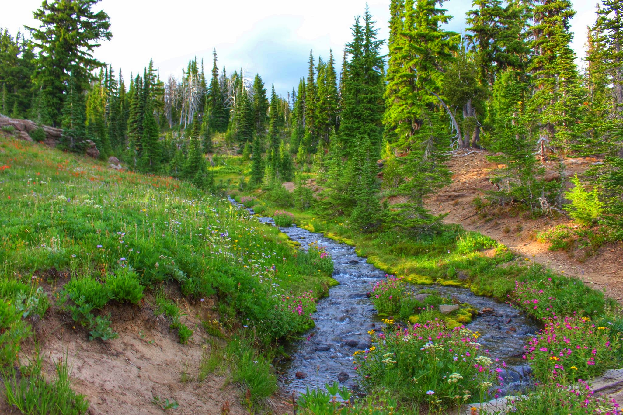
Opening Photo:

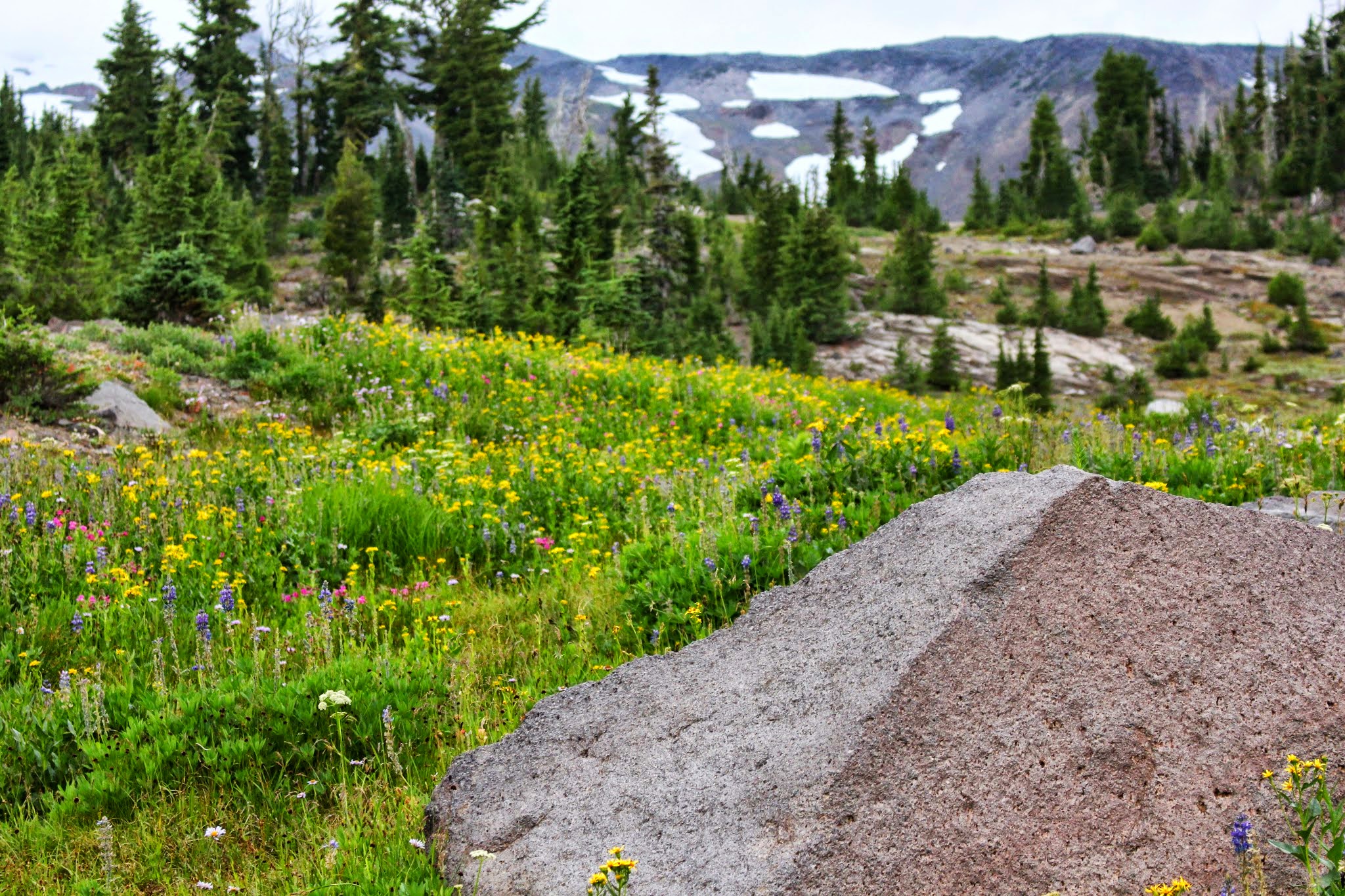
Small mountainside stream at Bird Creek Meadows
Here is a video/short film I put together of this area, filmed during this hike and the previous hike up to Iceberg Lake in 2014.
Summary
Distance: 5.67 mi
Elevation SRTM
Elevation Gain: 1149.88 ft
Elevation Loss: 1149.88 ft
Min Elevation: 5597.11 ft
Max Elevation: 6502.62 ft
------Maps------
GPS Track of our Route–the classic Bird Creek Meadows loop described in most hiking guides.
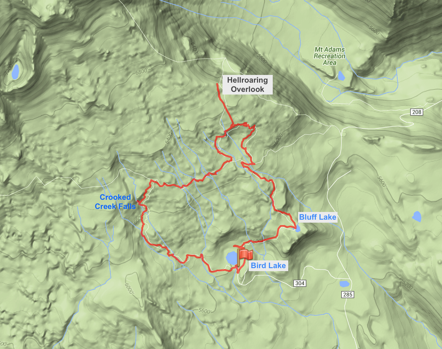
(Interactive CalTopo Map at the bottom of trip report.)
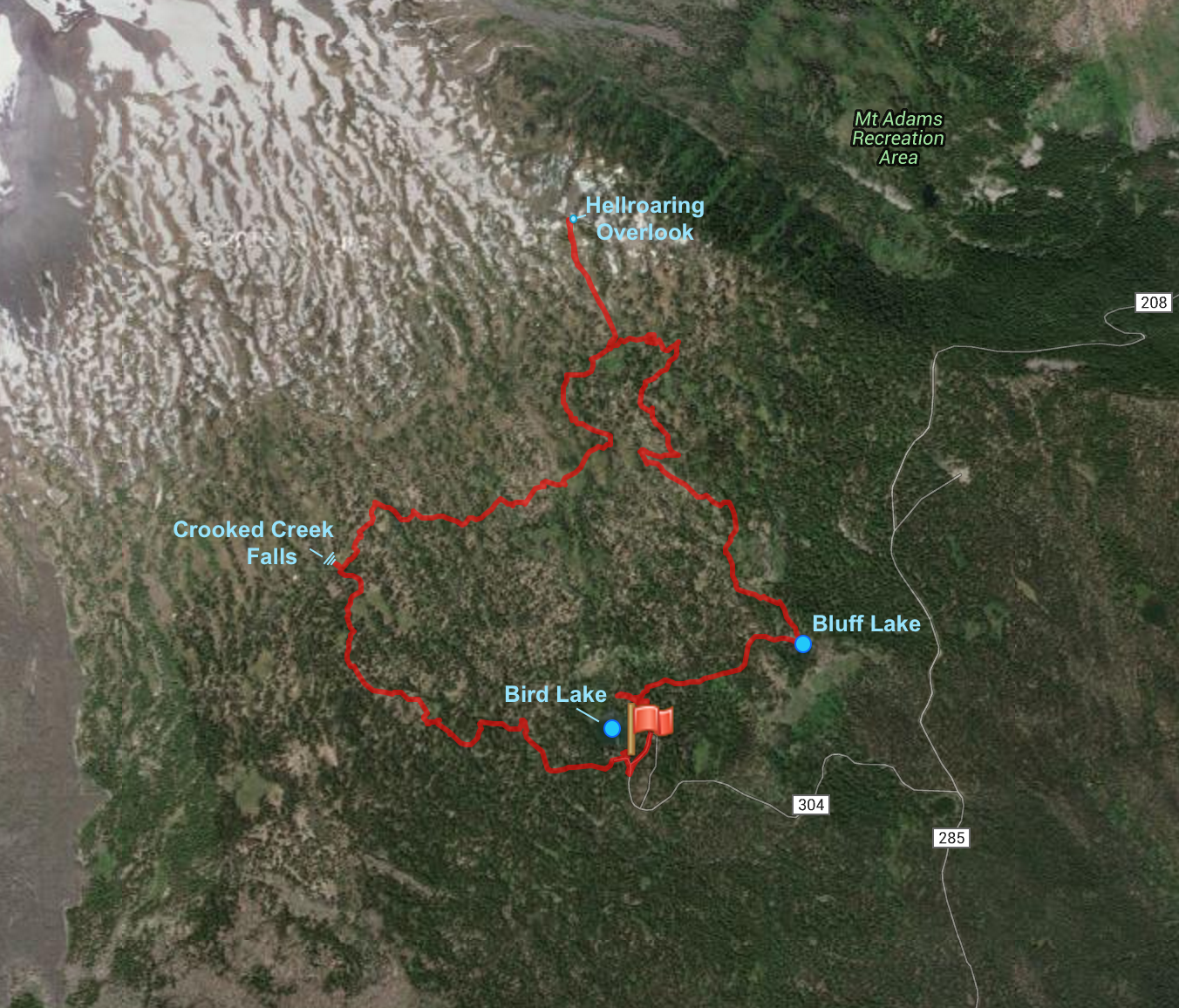
An Arial View:
Here is the topo map found on the Oregon Hikers Field Guide. Read the PH/OH hiking guide here

------Trip Report------
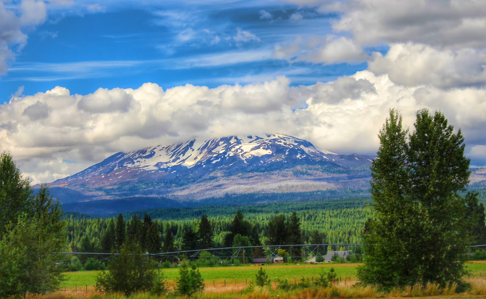
Mount Adams' 12,276 foot summit loomed over Trout Lake and Hwy 141 on the way to the trailhead:
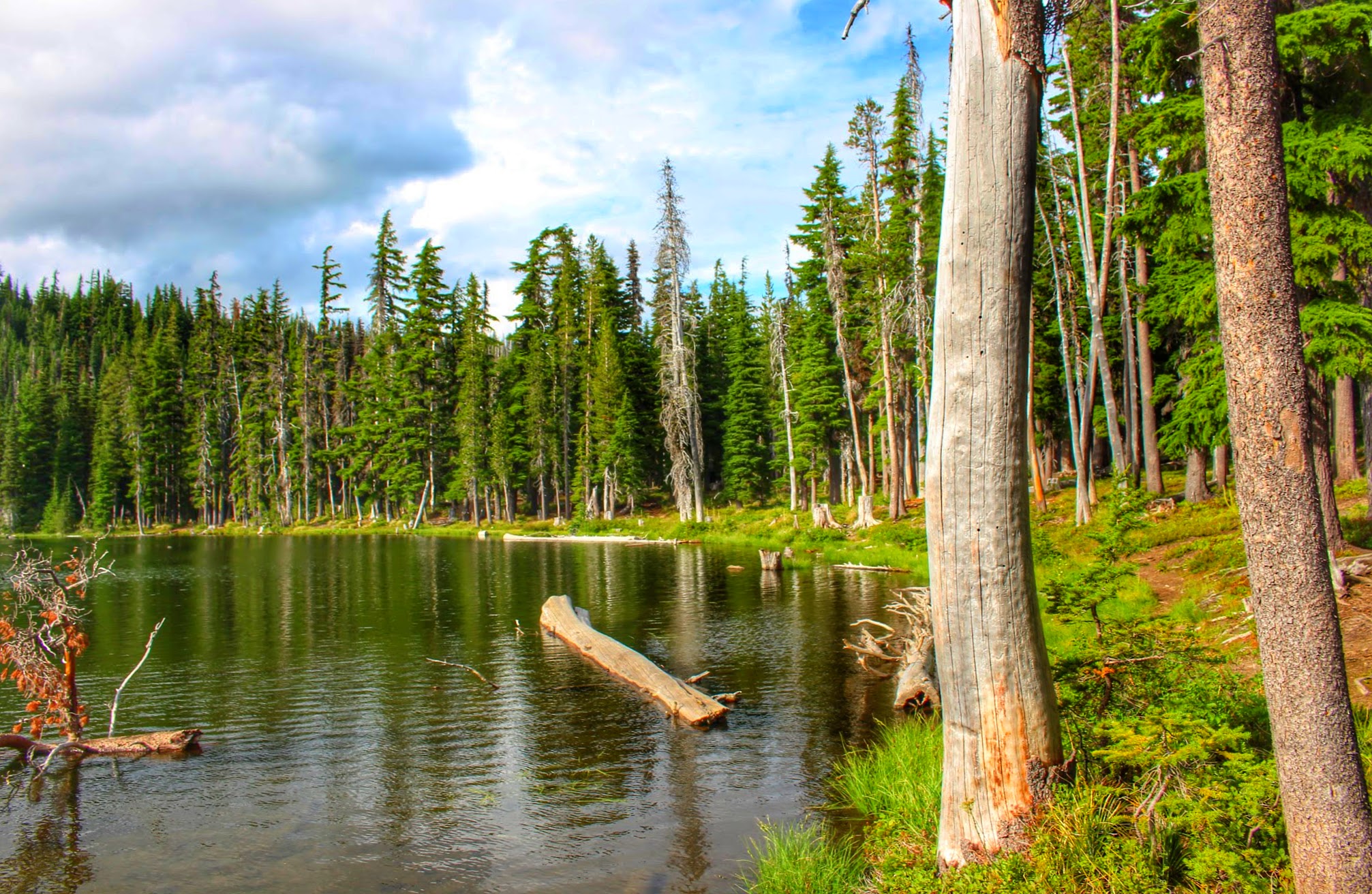
We started at the trailhead at Bird Lake Campground. This is Bird Lake before the fire.
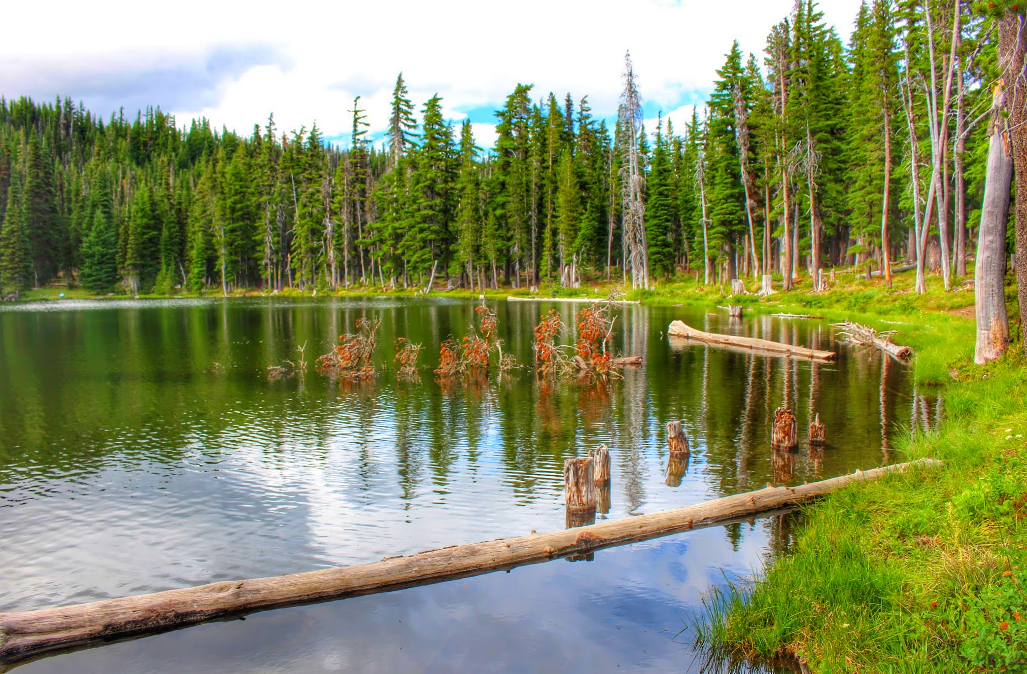
Another view of Bird Lake:
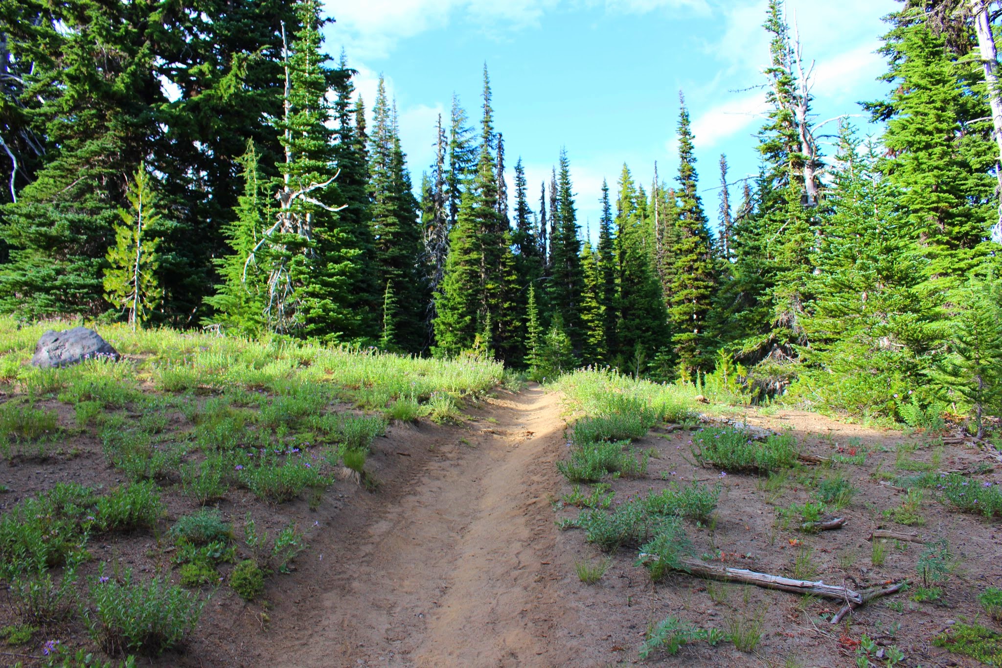
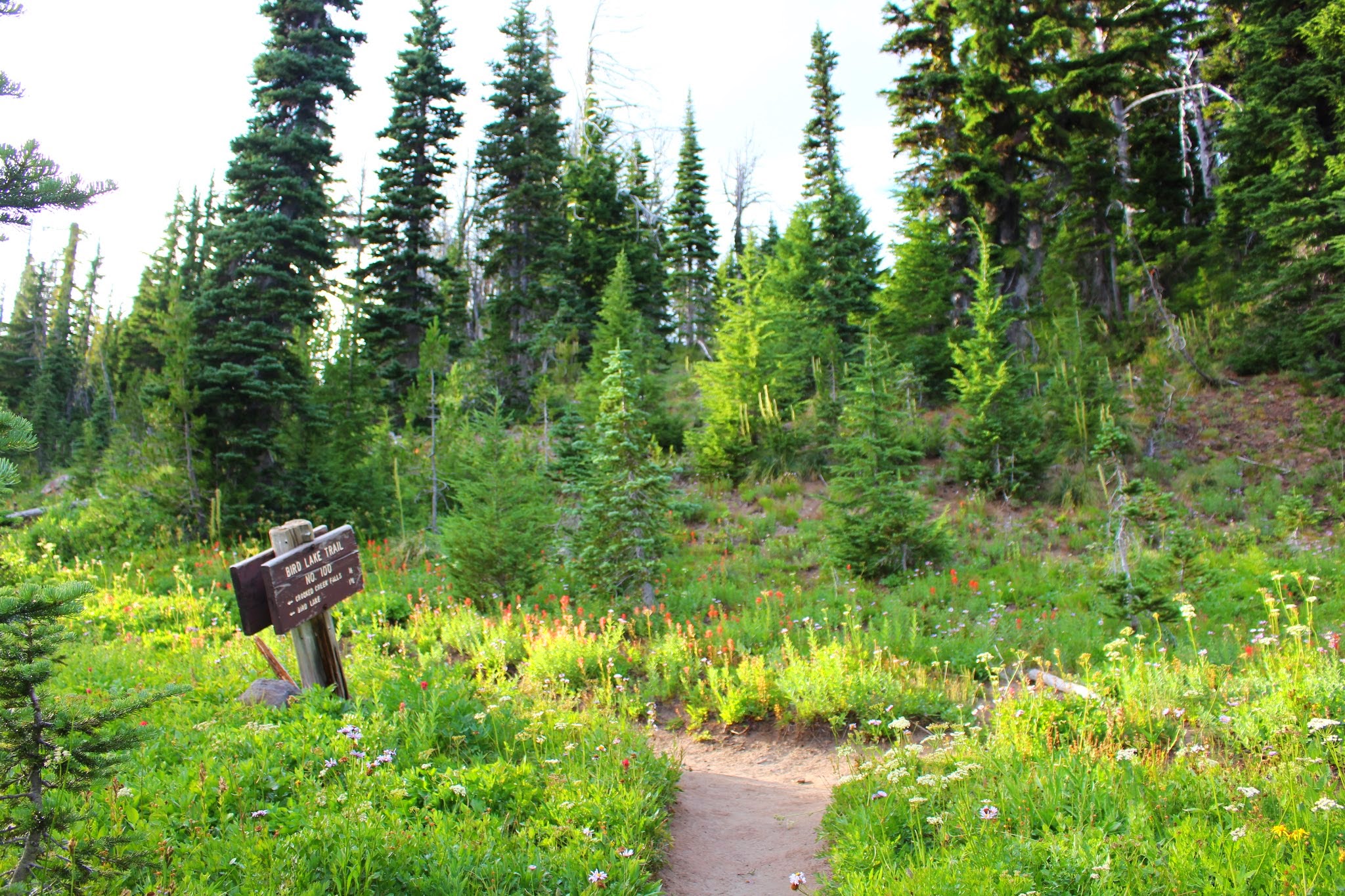
Starting out at the Bird Lake Trailhead, heading up the Bird Lake Trail towards Crooked Creek Falls:
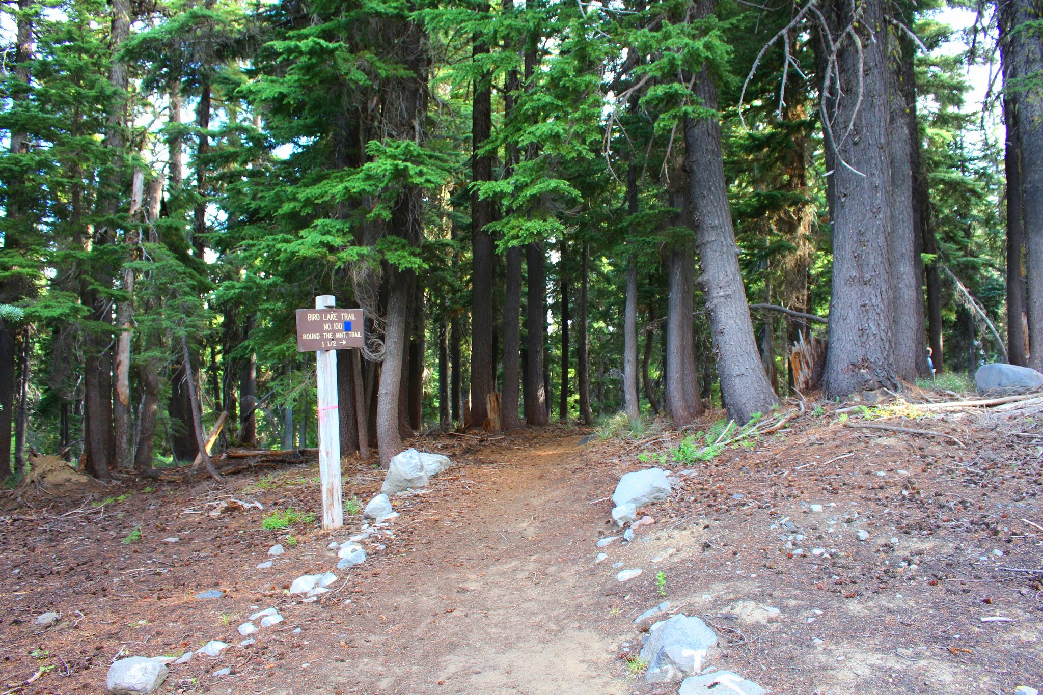
Bird Lake Trail
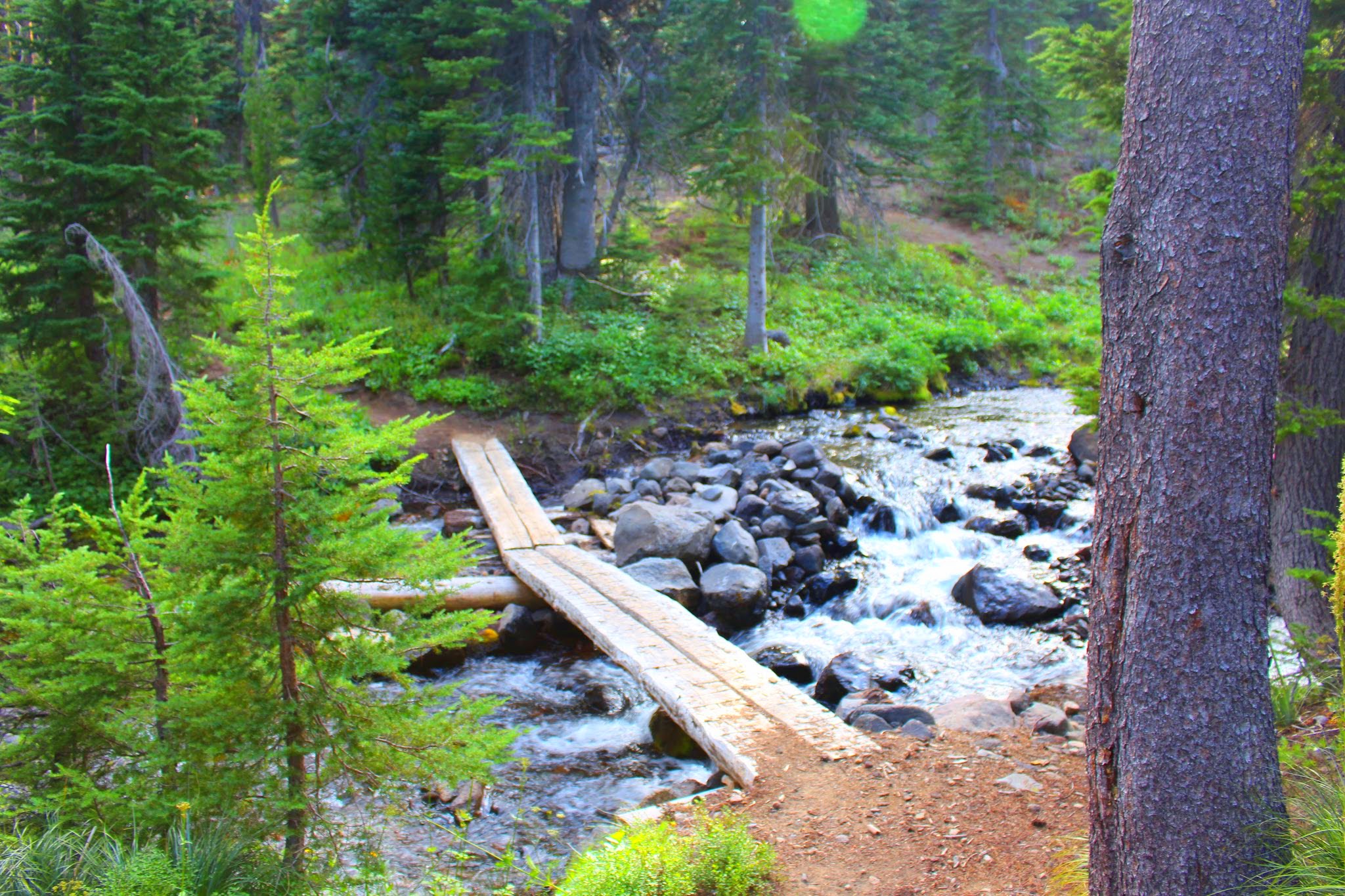
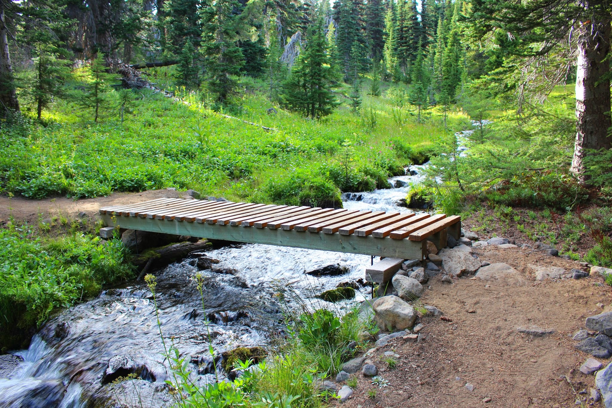
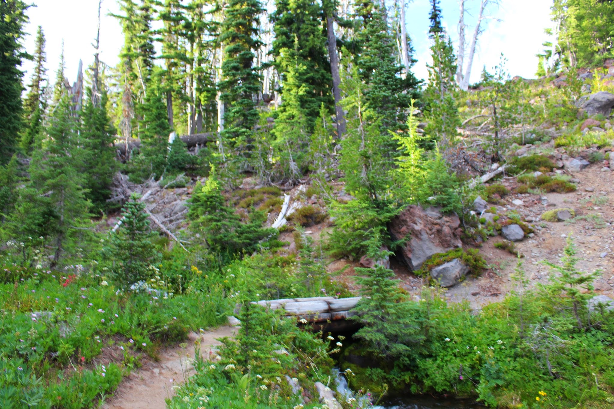
The trail closely follows Crooked Creek, crossing it at times, like here:
A small waterfall along the Bird Lake Trail; the trail crosses over the creek just above the falls. Sorry for the blurry photo. >.<
Crossing Crooked Creek again:
Nearing the falls:
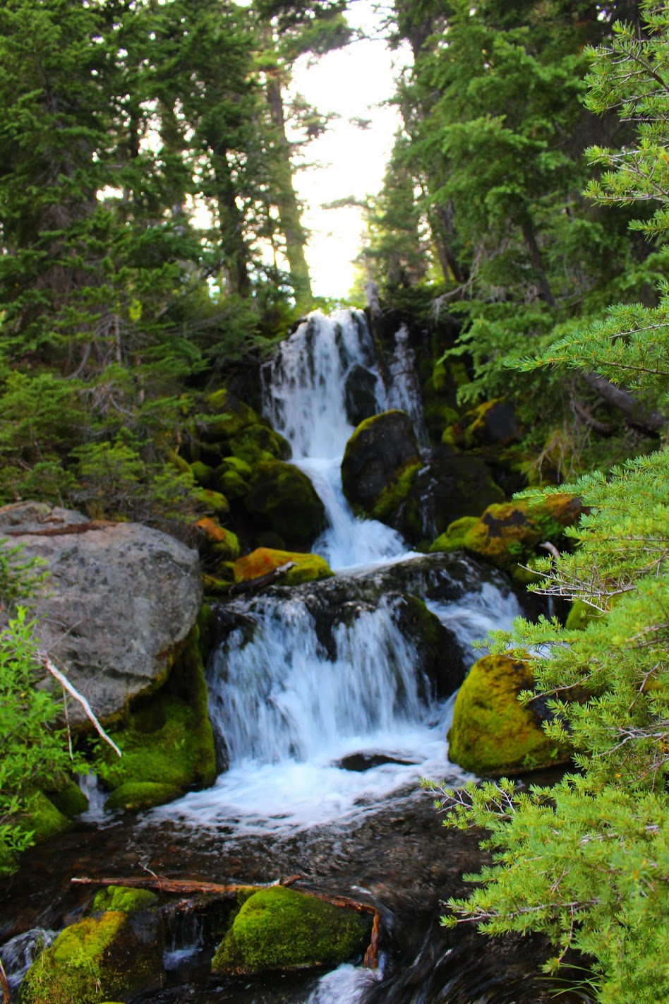
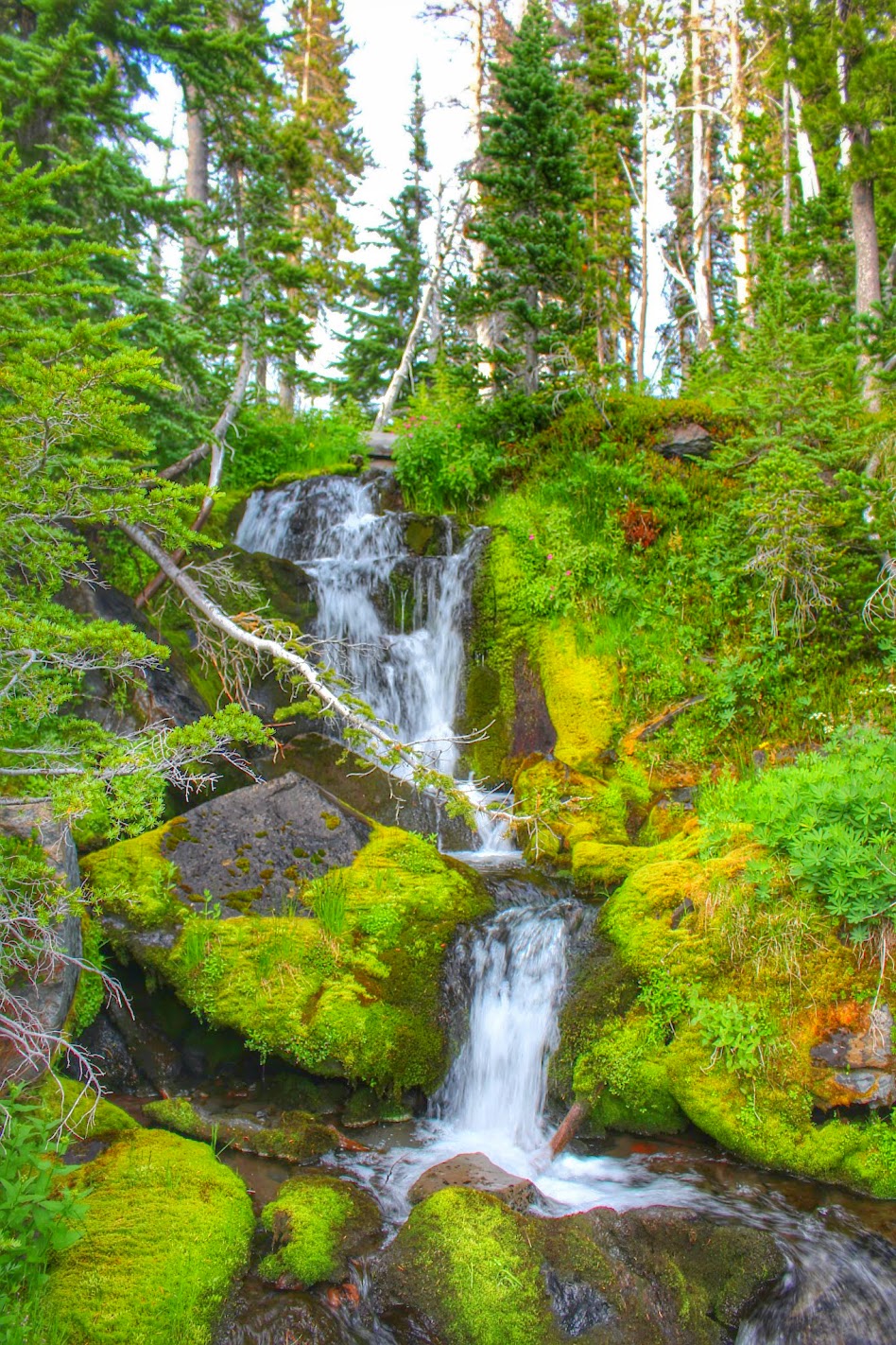
Crooked Creek Falls! This falls is around 50' tall, I believe. It is a gorgeous waterfall; one of my favorites on Mount Adams.
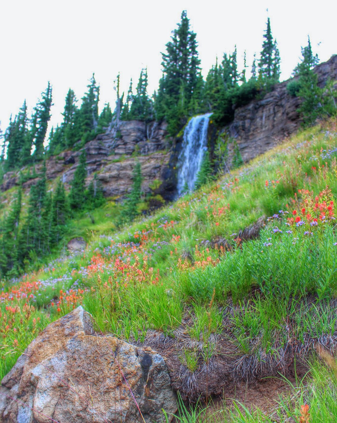
Wildflowers along a mountain stream:
A close-up:
Along the Bird Lake Trail, we came to a neat viewpoint:
Soon after the falls, we reached the junction with the Round the Mountain Trail:
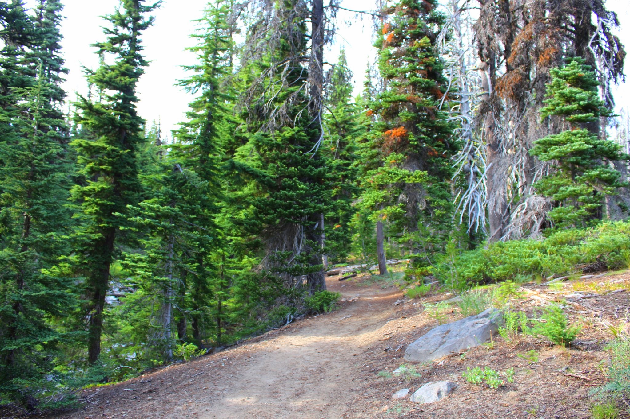
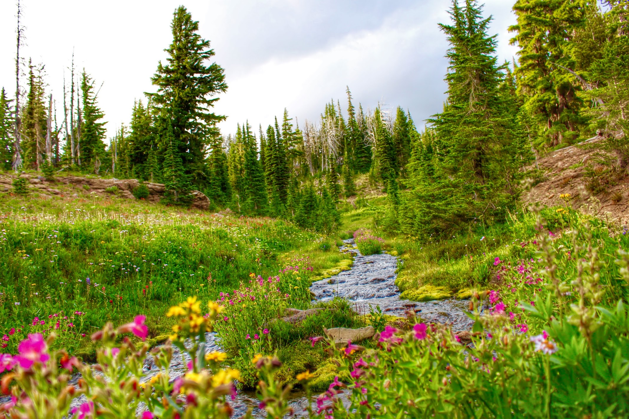
There are many small stream crossings along the Round the Mountain Trail, like this one here:
Small staircase waterfall along the Round the Mountain Trail:
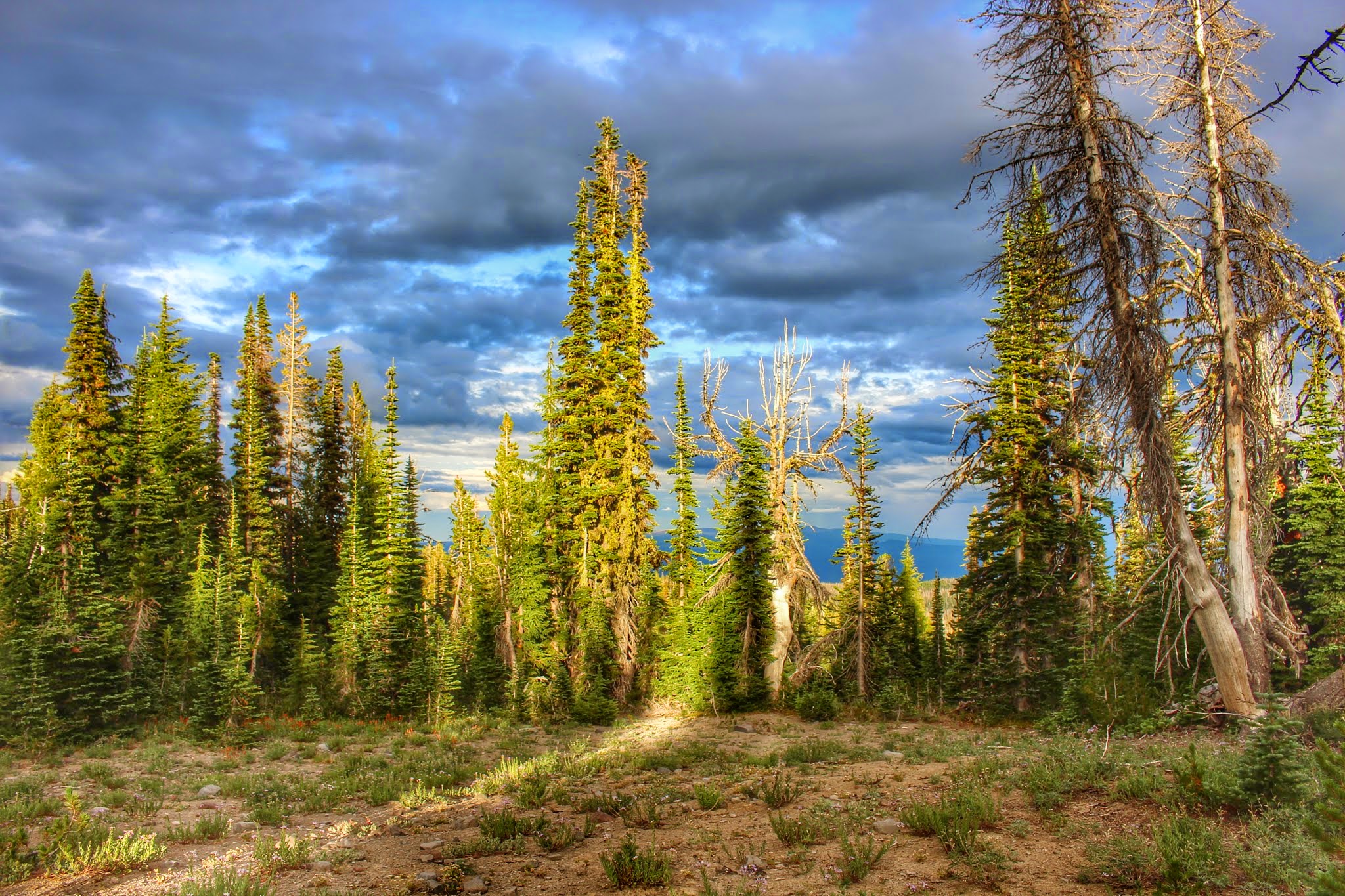
That dramatic lighting! I love hiking under this kind of sky.
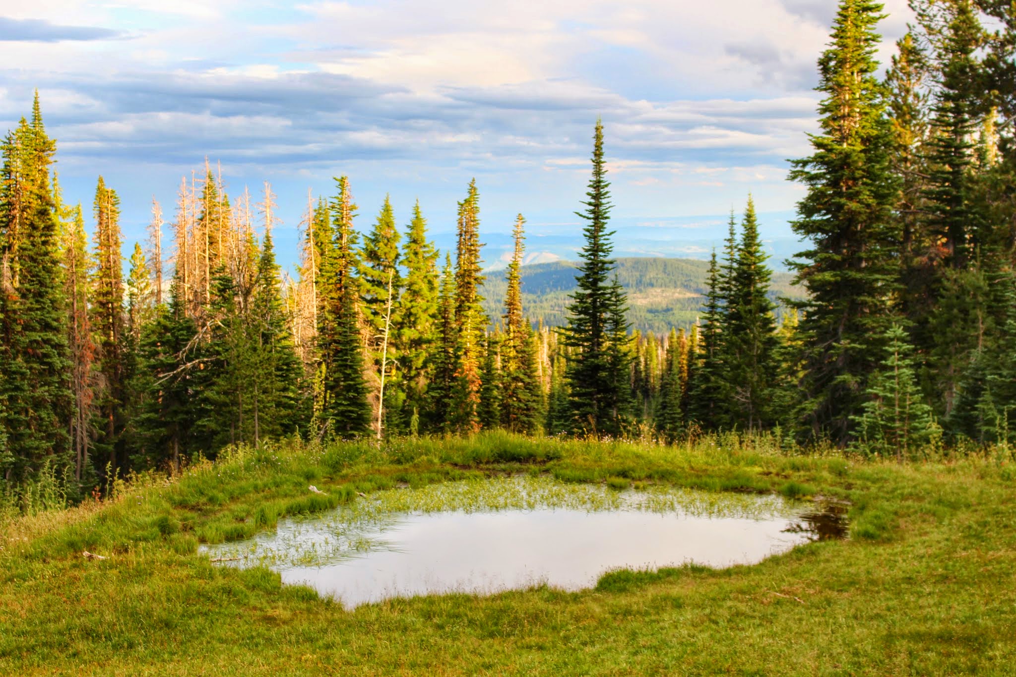
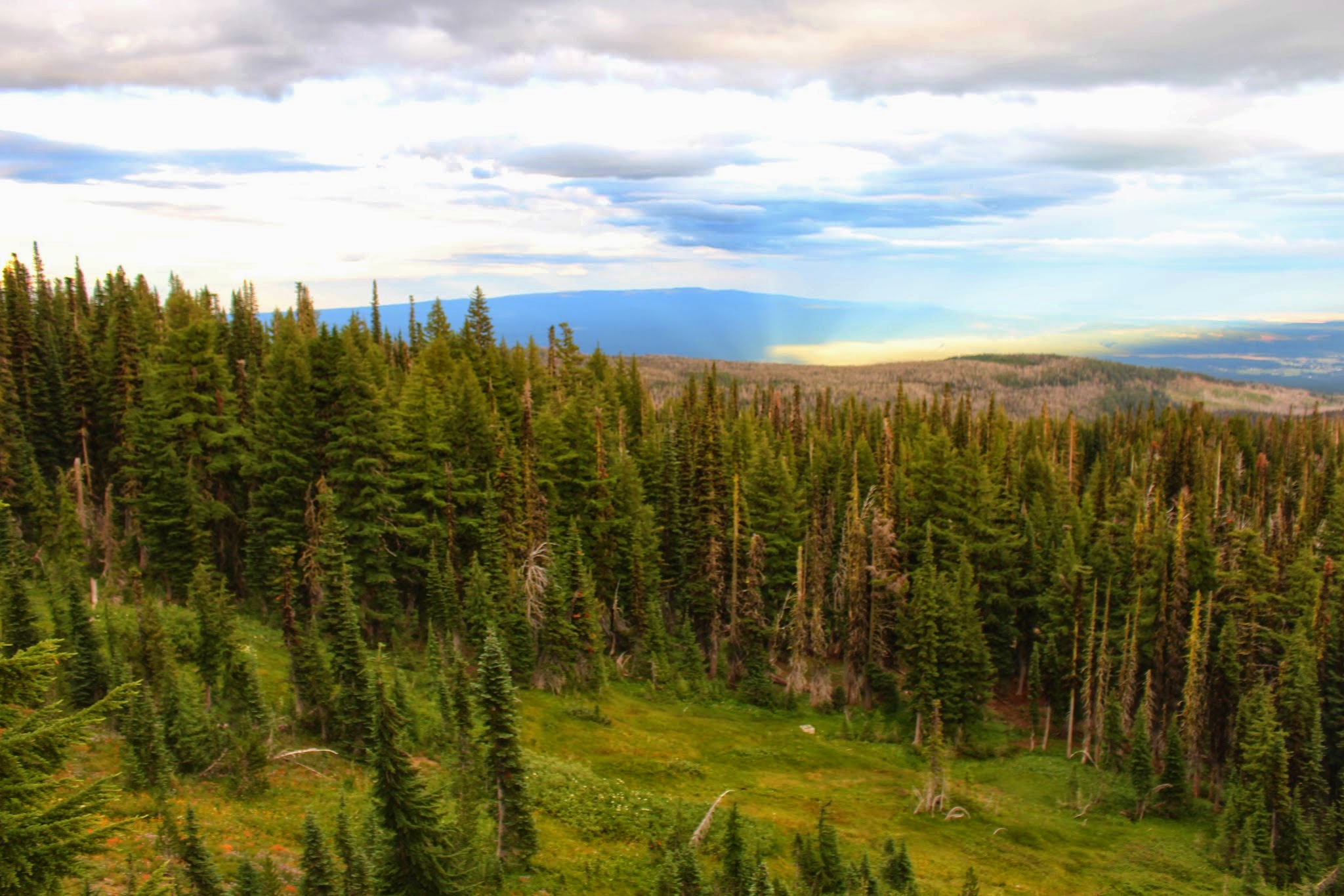
We passed a small pond along the Round the Mountain Trail
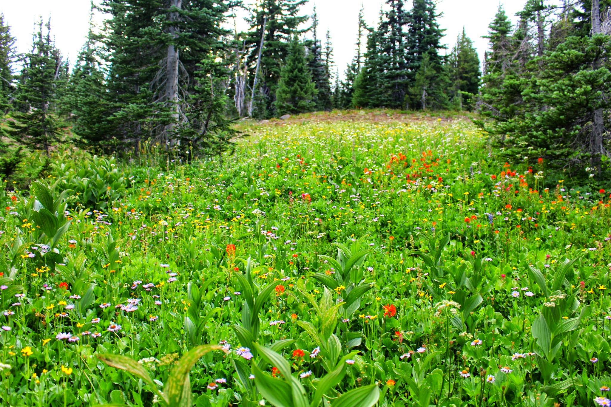
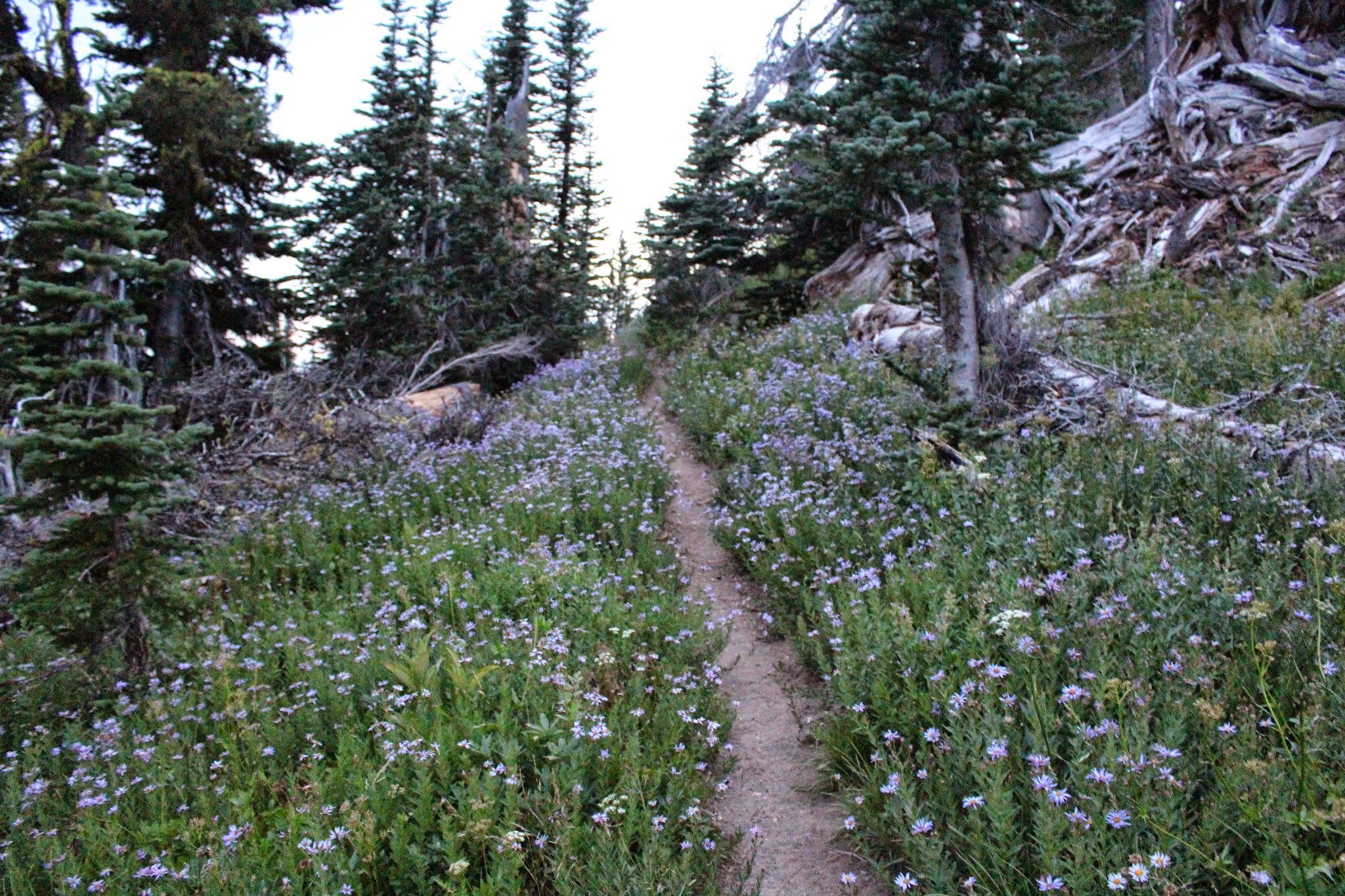
Most of the flowers were spent by now, but a few patches like this one were left:
Soon we reached the junction with the Trail of Flowers. We turned left.
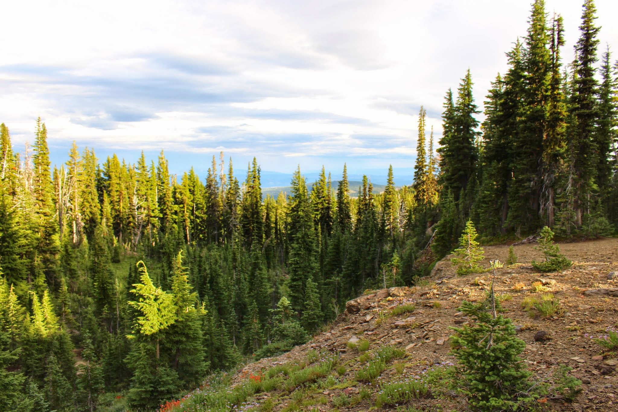
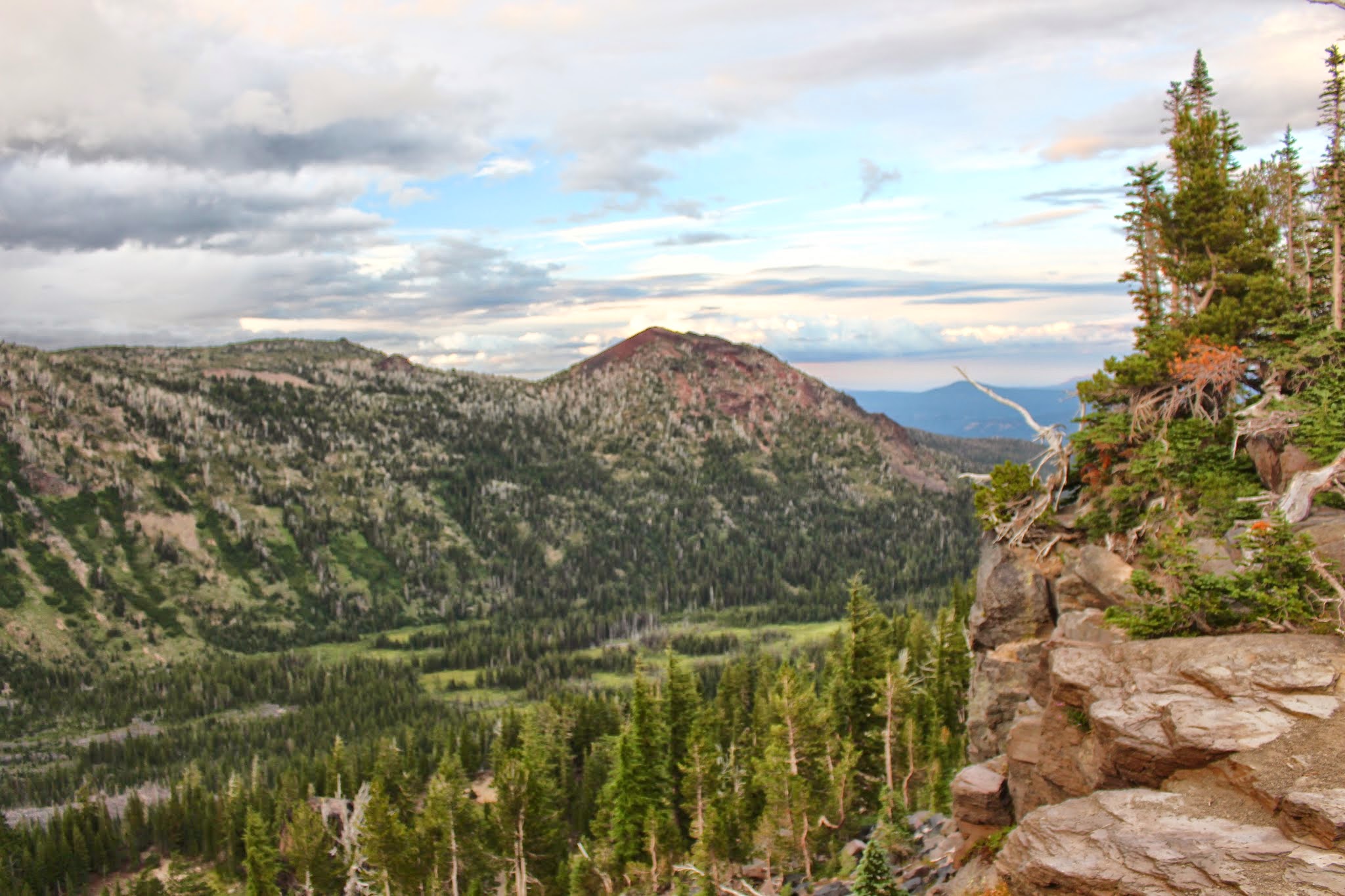
Looking southeast from the trail:
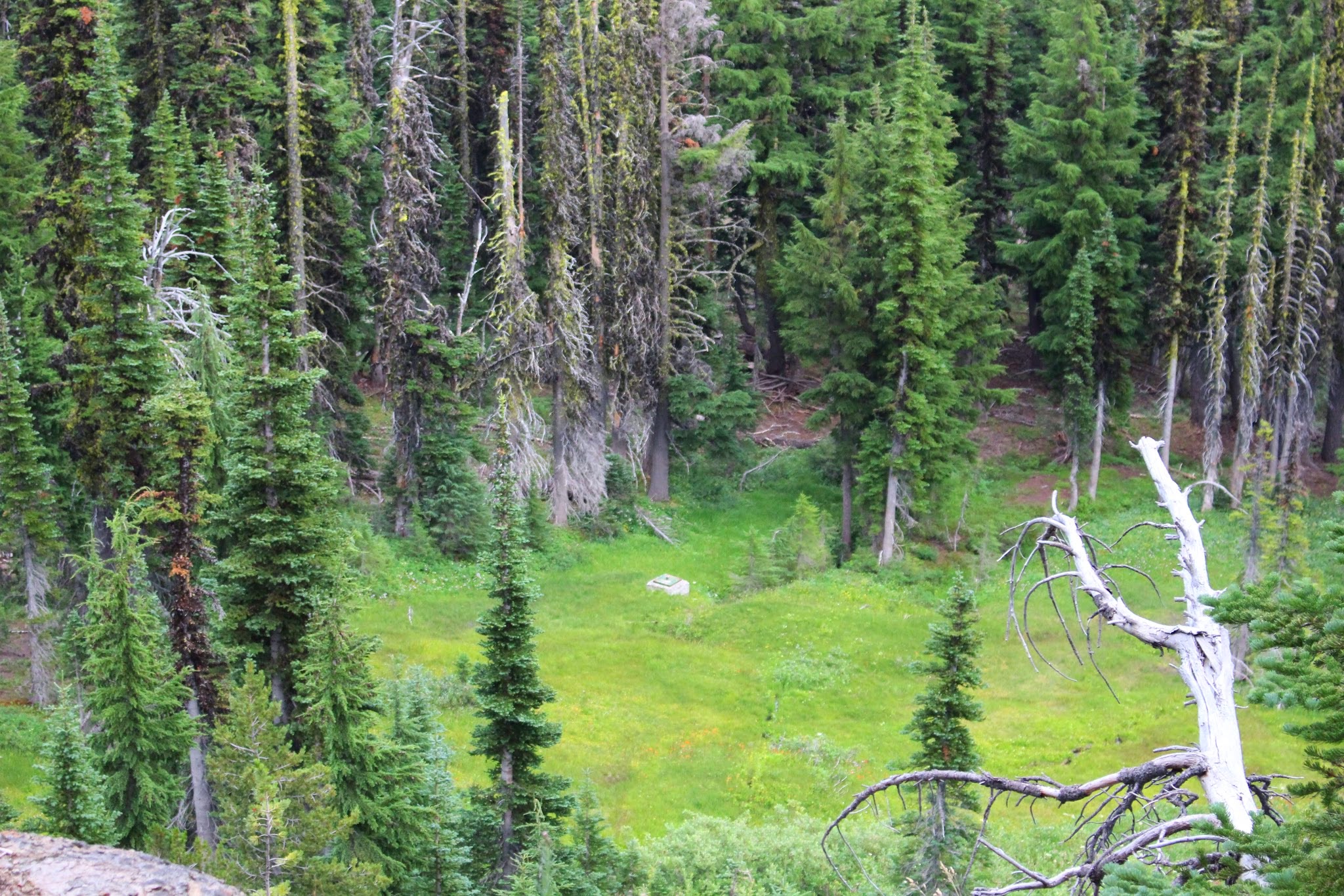
Looking down from the Trail of Flowers at a concrete box near the picnic area.
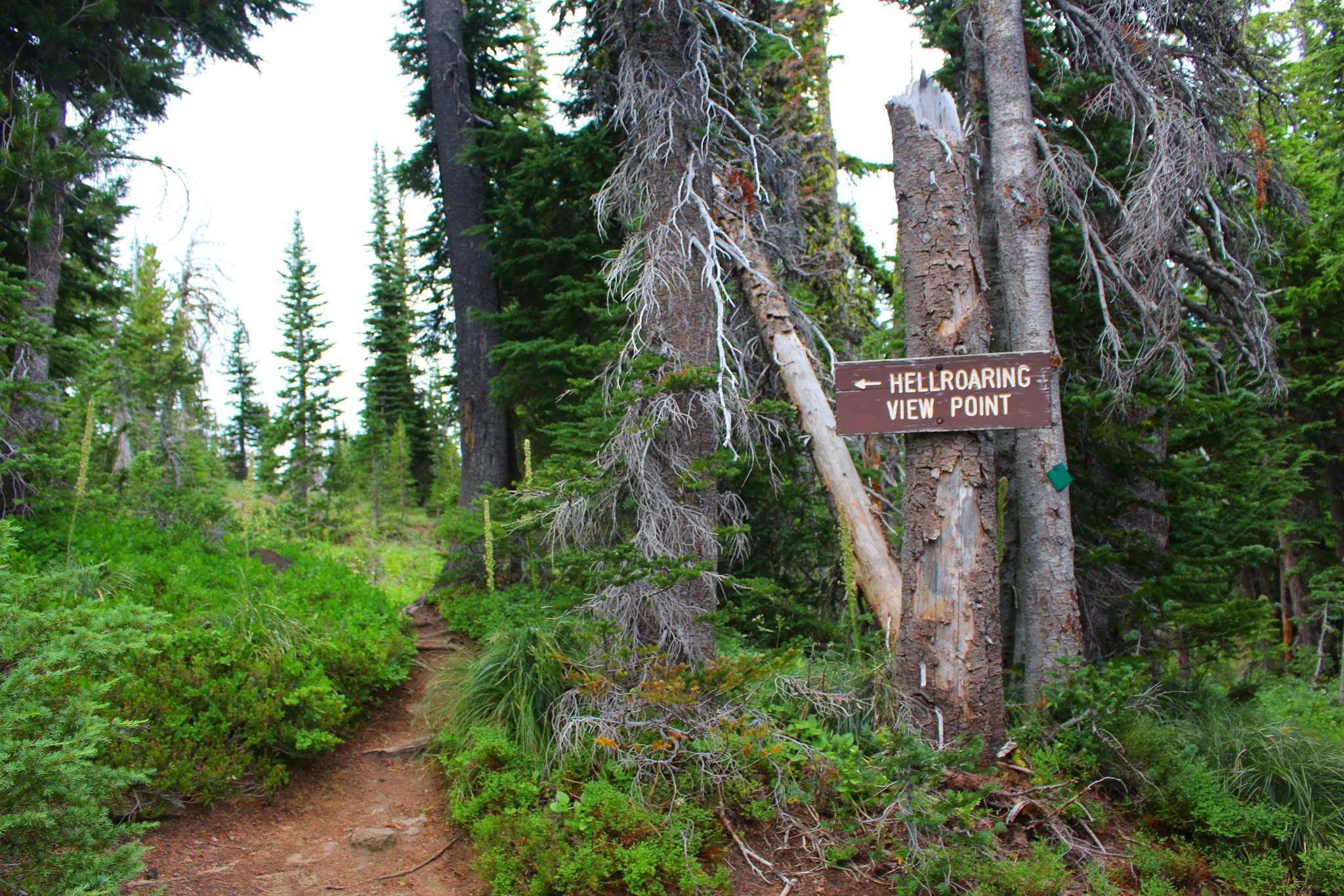
We then took Trail #67 to the Hellroaring Canyon Overlook:
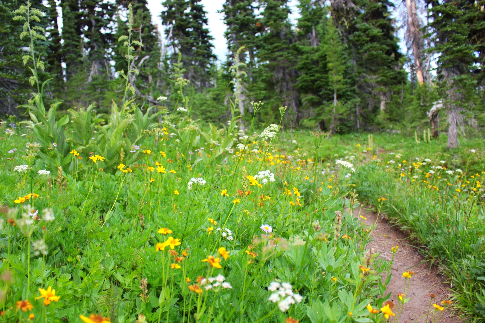
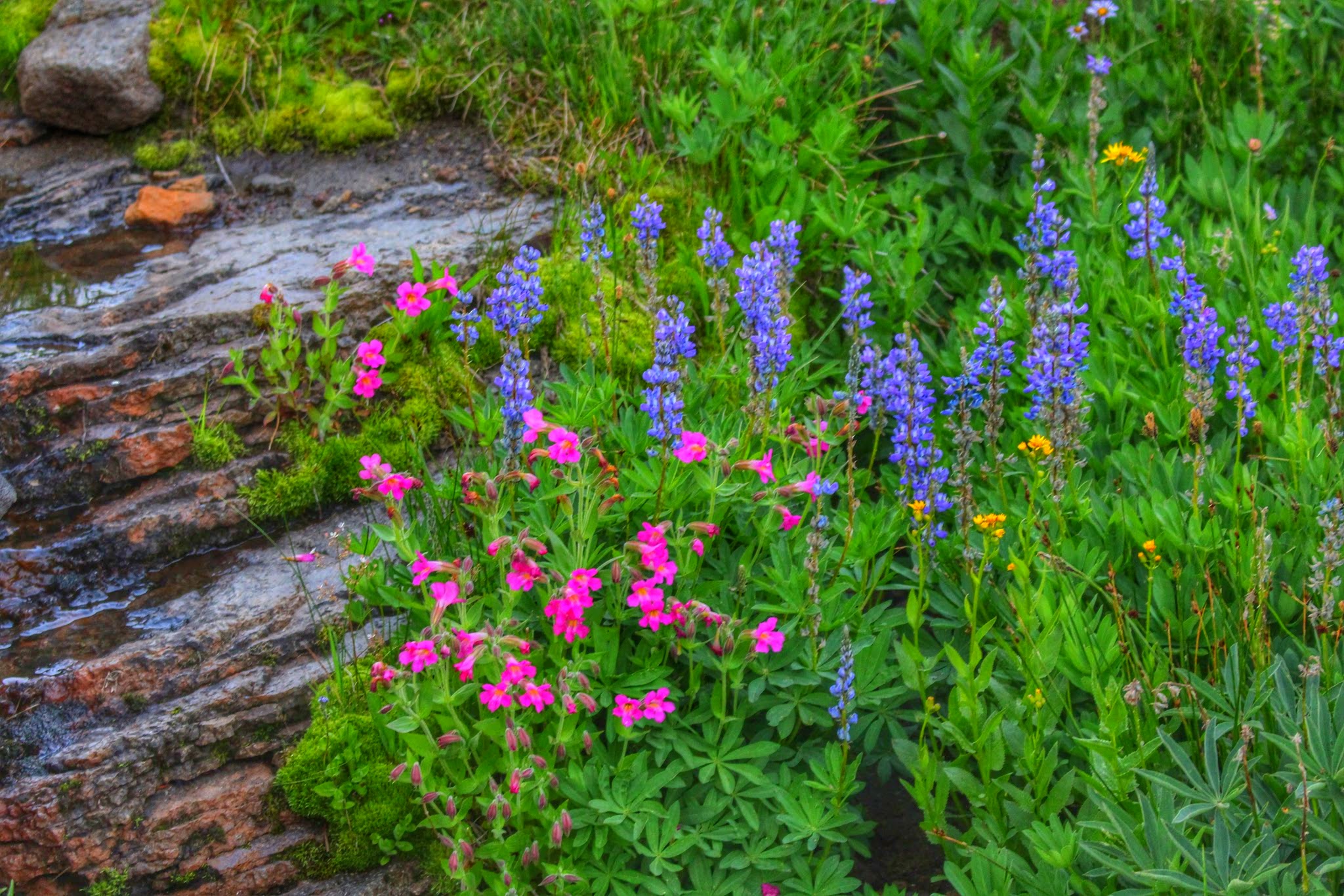
Here are some of the flowers we saw along Trail #67:
Upon nearing the overlook, we came upon a nice patch of flowers in full bloom alongside a little stream:
Nearing the Hellroaring Overlook!
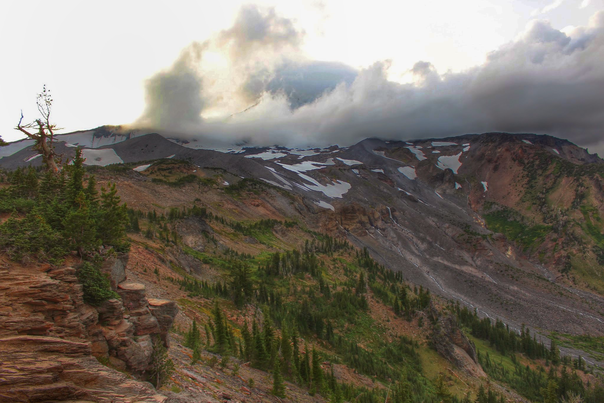
Soon Mount Adams and the massive Hellroaring Canyon unfolded before us. Mount Adams remained mostly hidden, but the dramatic clouds and epic canyon vista made up it.
The ridge on the far right is the Ridge of Wonders, and the large waterfall at center is unofficially called Hellroaring Basin Falls
Little Mount Adams prominently marks the southeastern end of the Ridge of Wonders
This is what the Hellroaring Overlook looks like on a clear, sunny day:
Photo taken in 2014
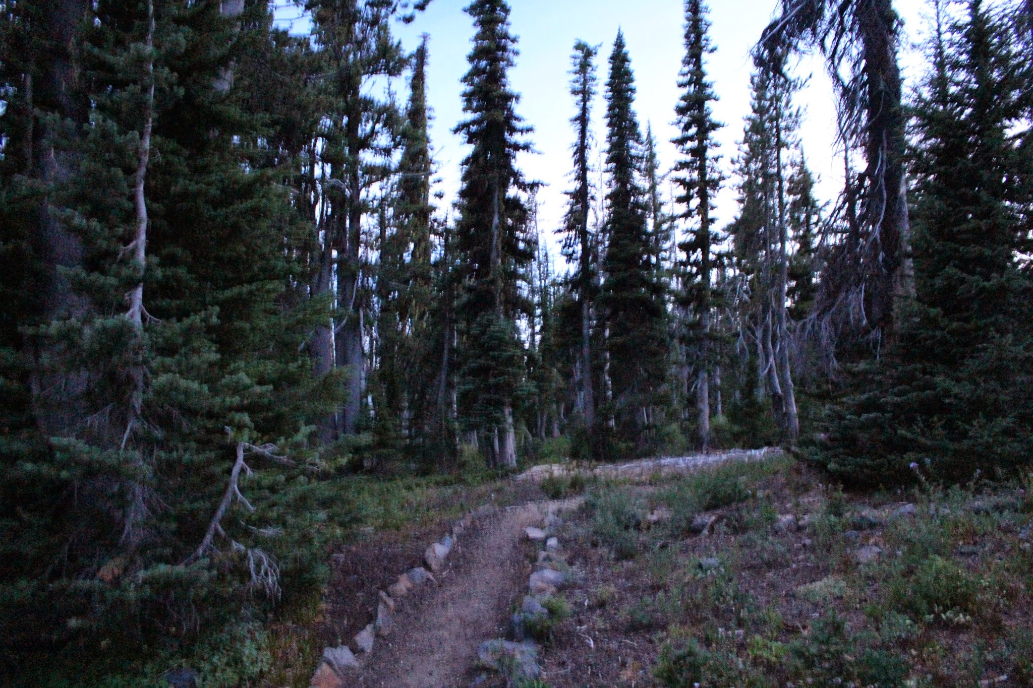
After Hellroaring Overlook, it was getting too dark for regular photos. So the rest of the pictures from here after are grainy.
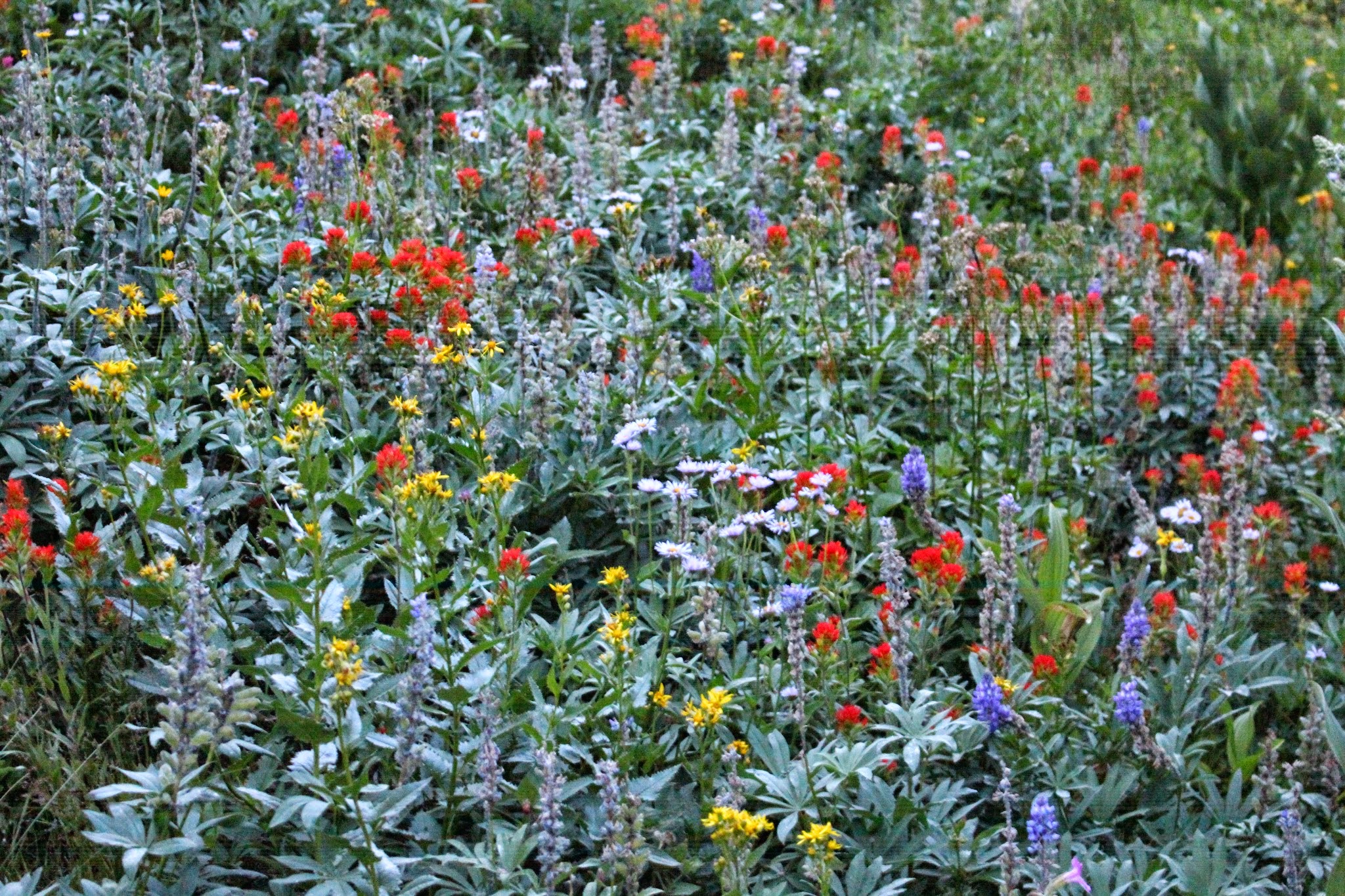
Some more wildflowers along the Trail of Flowers. On returning, we took the eastern half of the Trail of Flowers loop trail.
A colorful display:
Another really blurry photo. >.<
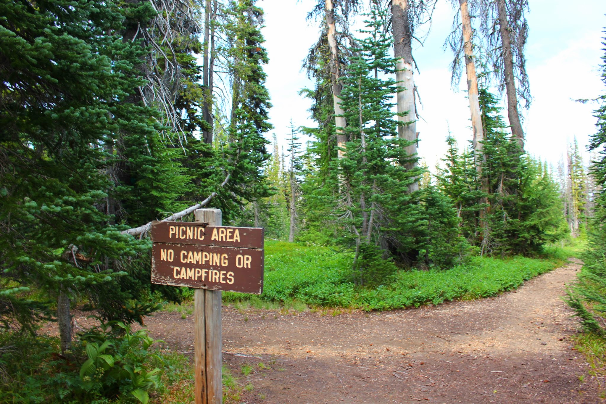
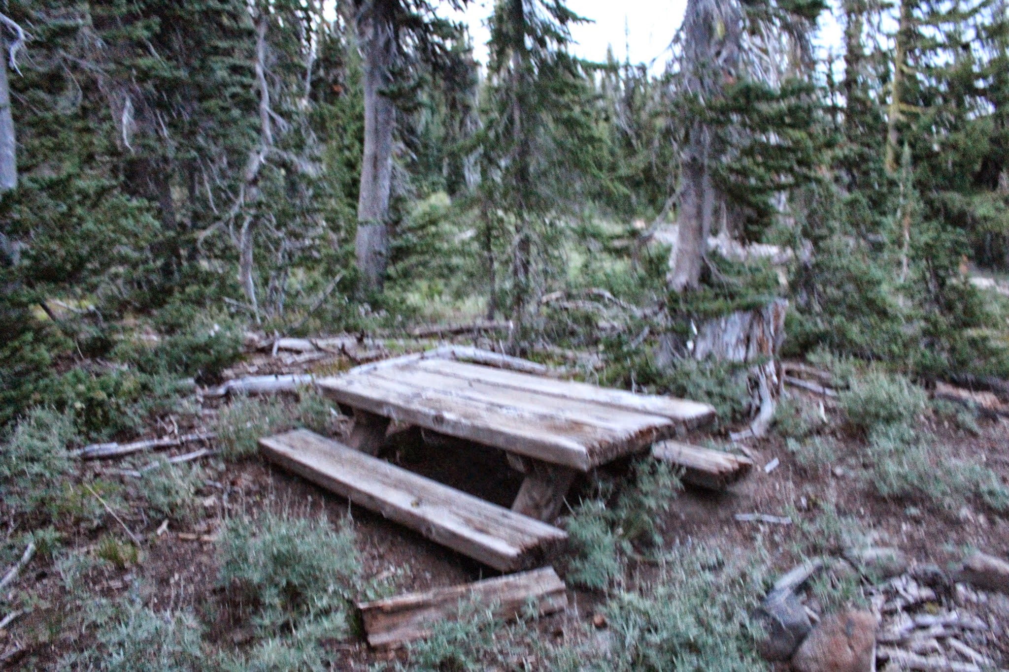
Nearly all the picnic tables at the Bird Creek Meadows Picnic Area are half-buried in the ground. Here is one of tables:
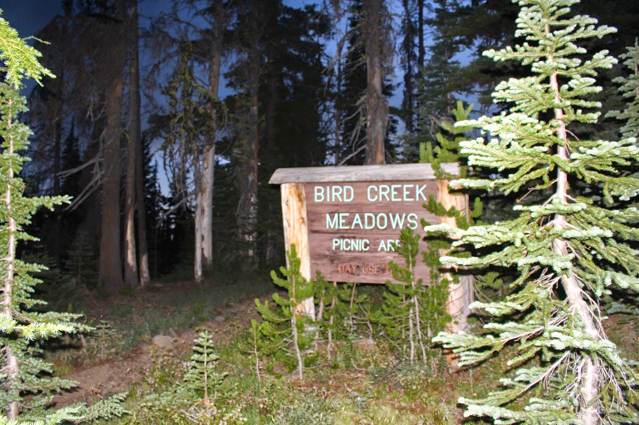
After passing through most of the half-buried picnic tables, we arrived at the Bird Creek Meadows sign:
Leaving the picnic area. We took the Bluff Lake Trail back to Bird Lake, but it was too dark to take any more photos.
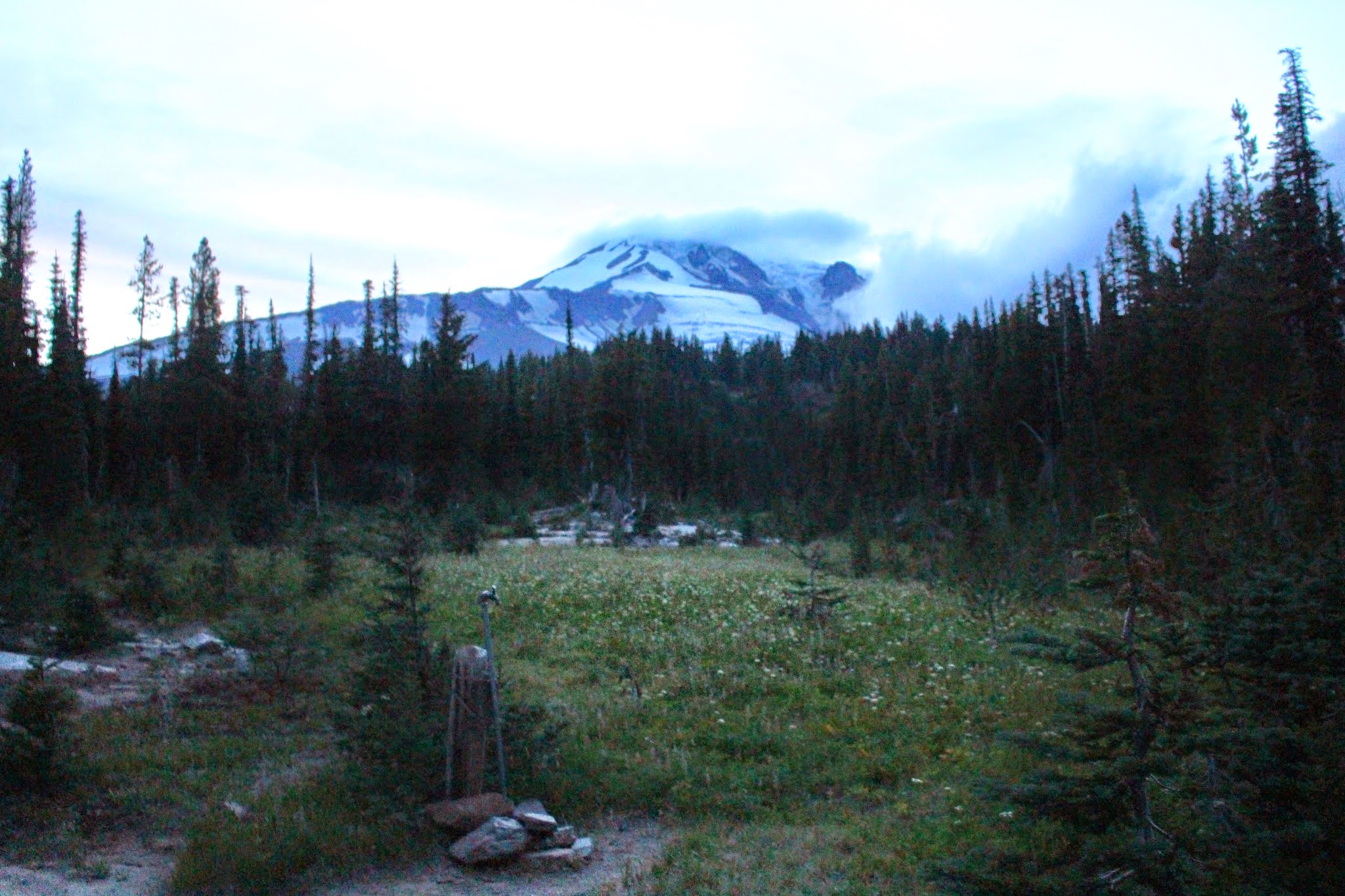
But we did get one final view of Mount Adams. An unusable/retired water spigot used to serve the picnic area at one time.
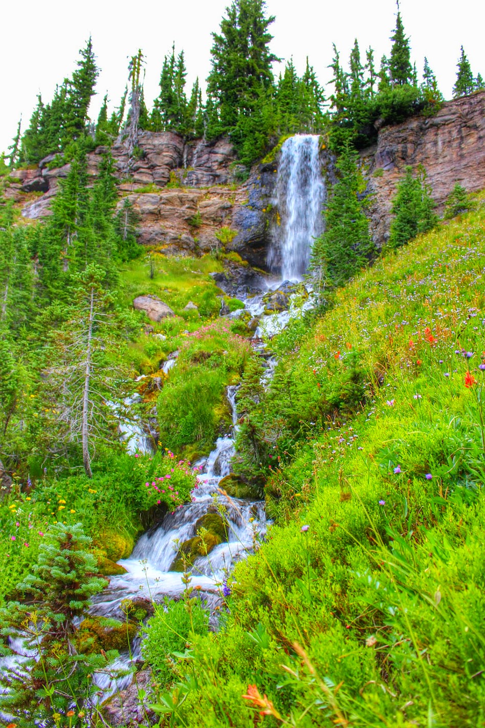
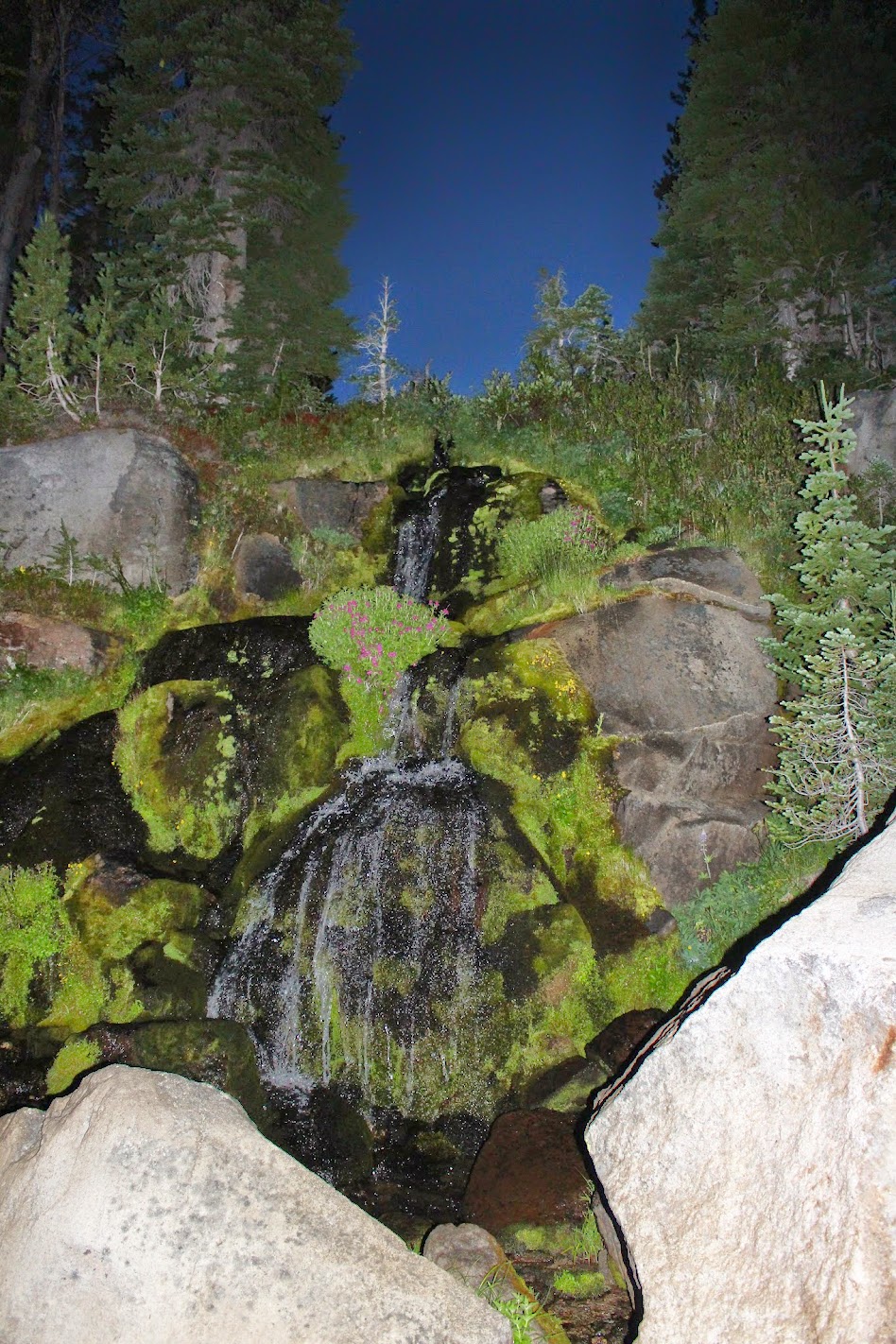
Along the Bluff Lake Trail, after passing Bluff Lake, we crossed beneath this nice [unnamed?] waterfall. As this falls lies below Bluff Lake, chances are it was consumed by the fire.
GPSfly Track:
http://gpsfly.org/g/5629
Click here to view on CalTopo
It was incredibly beautiful! We got to hike the loop in mid-August of 2015, just before the Cougar Creek Fire swept through the area this past summer. Much of Bird Creek Meadows was spared from the fire, but everything below Bluff Lake, including Bird Lake, was consumed by the fire.
We hiked the loop clockwise, starting on the Bird Lake Trail and ending on the Bluff Lake Trail.
Opening Photo:
Small mountainside stream at Bird Creek Meadows
Here is a video/short film I put together of this area, filmed during this hike and the previous hike up to Iceberg Lake in 2014.
Summary
Distance: 5.67 mi
Elevation SRTM
Elevation Gain: 1149.88 ft
Elevation Loss: 1149.88 ft
Min Elevation: 5597.11 ft
Max Elevation: 6502.62 ft
------Maps------
GPS Track of our Route–the classic Bird Creek Meadows loop described in most hiking guides.
(Interactive CalTopo Map at the bottom of trip report.)
An Arial View:
Here is the topo map found on the Oregon Hikers Field Guide. Read the PH/OH hiking guide here
------Trip Report------
Mount Adams' 12,276 foot summit loomed over Trout Lake and Hwy 141 on the way to the trailhead:
We started at the trailhead at Bird Lake Campground. This is Bird Lake before the fire.
Another view of Bird Lake:
Starting out at the Bird Lake Trailhead, heading up the Bird Lake Trail towards Crooked Creek Falls:
Bird Lake Trail
The trail closely follows Crooked Creek, crossing it at times, like here:
A small waterfall along the Bird Lake Trail; the trail crosses over the creek just above the falls. Sorry for the blurry photo. >.<
Crossing Crooked Creek again:
Nearing the falls:
Crooked Creek Falls! This falls is around 50' tall, I believe. It is a gorgeous waterfall; one of my favorites on Mount Adams.
Wildflowers along a mountain stream:
A close-up:
Along the Bird Lake Trail, we came to a neat viewpoint:
Soon after the falls, we reached the junction with the Round the Mountain Trail:
There are many small stream crossings along the Round the Mountain Trail, like this one here:
Small staircase waterfall along the Round the Mountain Trail:
That dramatic lighting! I love hiking under this kind of sky.
We passed a small pond along the Round the Mountain Trail
Most of the flowers were spent by now, but a few patches like this one were left:
Soon we reached the junction with the Trail of Flowers. We turned left.
Looking southeast from the trail:
Looking down from the Trail of Flowers at a concrete box near the picnic area.
We then took Trail #67 to the Hellroaring Canyon Overlook:
Here are some of the flowers we saw along Trail #67:
Upon nearing the overlook, we came upon a nice patch of flowers in full bloom alongside a little stream:
Nearing the Hellroaring Overlook!
Soon Mount Adams and the massive Hellroaring Canyon unfolded before us. Mount Adams remained mostly hidden, but the dramatic clouds and epic canyon vista made up it.
The ridge on the far right is the Ridge of Wonders, and the large waterfall at center is unofficially called Hellroaring Basin Falls
Little Mount Adams prominently marks the southeastern end of the Ridge of Wonders
This is what the Hellroaring Overlook looks like on a clear, sunny day:
Photo taken in 2014
After Hellroaring Overlook, it was getting too dark for regular photos. So the rest of the pictures from here after are grainy.
Some more wildflowers along the Trail of Flowers. On returning, we took the eastern half of the Trail of Flowers loop trail.
A colorful display:
Another really blurry photo. >.<
Nearly all the picnic tables at the Bird Creek Meadows Picnic Area are half-buried in the ground. Here is one of tables:
After passing through most of the half-buried picnic tables, we arrived at the Bird Creek Meadows sign:
Leaving the picnic area. We took the Bluff Lake Trail back to Bird Lake, but it was too dark to take any more photos.
But we did get one final view of Mount Adams. An unusable/retired water spigot used to serve the picnic area at one time.
Along the Bluff Lake Trail, after passing Bluff Lake, we crossed beneath this nice [unnamed?] waterfall. As this falls lies below Bluff Lake, chances are it was consumed by the fire.
GPSfly Track:
http://gpsfly.org/g/5629
Click here to view on CalTopo