chandlerwest
Member
- Joined
- Feb 7, 2015
- Messages
- 550
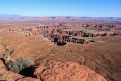
Looking down from Grandview Point I have wondered......"that looks like such a great place to explore."
When @Scott Chandler got his job in Dead Horse Point State Park in 2017 I started researching a route to get to Monument Basin. 1st you need to make the 1,400 drop down the Gooseberry Trail in less than a mile. Then walk the wash for 1.5 miles. Then walk the White Rim road a ways. Then route find you way up, thru, over, then down a 400 foot ridge. Then find a weak spot to drop the 700 feet into the Basin. Then wander around for who knows how long. Then turn around and repeat all this in reverse. Sheesh! I put that plan DEEP into my back pocket.
When Scott got his job in Canyonlands Nat'l Park in 2019 the first thing I had him do was look around for the park services recommendation for getting into Monument Basin. I now had that piece of the puzzle. The plan started sticking out of my pocket, just a wee bit.
You drop in the slope with the white diamond rock.
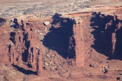
Then, when this summer Scott got his 4-Runner I took that plan out of my pocket and ripped it all up. "We can drive to Monument Basin!!!"
Last Tuesday Scott, Colleen and I started out on the grand adventure! Scott said that he felt it would take him 5 hours to drive to the Basin. Seeing that it was 31.3 miles I told myself that maybe that was a pessimistic estimate. (It wasn't.) Knowing it would be a long day we started more than an hour before sunrise.
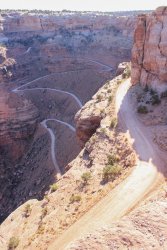
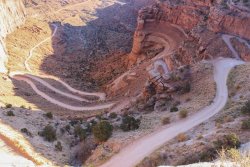
These are photographic representations of what we drove down in the dark. The Shafer Trail. It was cute when those headlights would go off into the ether and for a second you had no idea where the ground was. We assumed it would be in front of us if we kept turning. And it was.
At 7:08 the sky started lighting up.
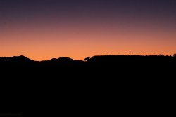
We pulled into Musselman Arch to watch the sunrise on the cliffs above. Arch is in the left of the photo.
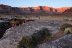
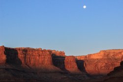
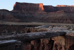
Then we proceeded on our determined bounce and shake around the rough White Rim Road.
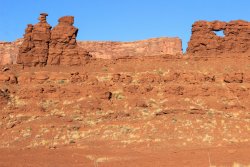
I am purposefully including this shot as self-flagellation. I knew as soon as the car moved a foot that I should have taken the shot from behind it. It would have been SO epic.
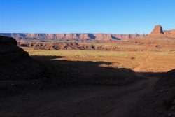
Washer Woman Arch comes into view. Scott mentioned that there are people who get in a snit because it is Washer "Woman". But we studied it and felt the title is proper. Lonely cowboys probably named the arch. The rock has a synched waist and it is wearing a hat that was all the rage for a ranching woman of that period.
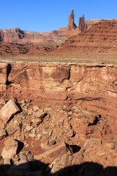
The Airport Tower on the right.
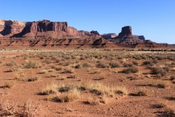
I want you note how HUGE that alcove is up there. We wondered how easy it might be to access it from the rim.
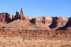
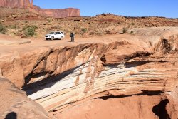
Arriving at Monument Basin at 11:30. Scott was spot on with his estimation of how long it would take. The 300 foot Totem Pole is just to the right of center. I want so much to get a picture of someone standing at its base.
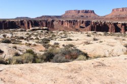
Heading across the White Rim searching for the drop in point.
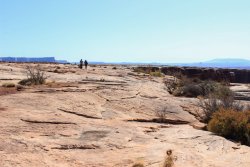
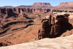
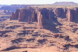
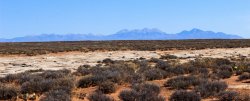
We agreed that Canyonlands would not be so wondrous if the La Sal Mountains were not looming, in contrast, to the east.
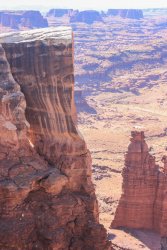
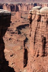
The first view of the white diamond shaped rock!
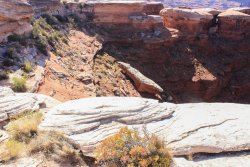
This is the recommended drop in/pour off to reach Monument Basin.
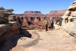
If the ledges we had to go down were level it would have been a fast dive in. BUT they weren't. To the naked eye the depth is double how this photo appears.
They were all pitched at an angle and appeared shiny with moisture, algae, whatever. Plus that 40 ft. ramp/sloping rock on the right looked like it would be the prize for any slip.
"If we only had a rope" Colleen expressed. Also the maxim of "never go down something you are not positive you can get back up" was being tested.
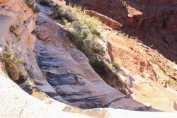
I walked away knowing that the adventure was in doubt. Scott and Colleen contemplating.
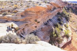
We agreed that this spot was not going to happen. So I took a last fleeting shot down the route.
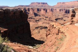
In agreement we set off to exhaust the possibility of another entrance. I tried to remember the details in Joey Coconato's video. I had watched it so many time and the details were clear in my memory. He made it down into the Basin 5 years ago and I knew it wasn't at this pour off. Scott took off to the south and in a short while we met him and he said "I found a way in."
See the bush along the rim on the left side? Go to the right and down a smidge. There is a separation in the rock? We entered the area by crawling beyond/thru that bush. How Scott found it and WHY I didn't take a picture of the hidden entrance...........ugh!!!!!!
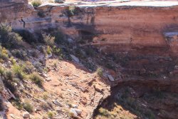
We made our way down. It was extremely slow going because the ground moved with every step. Either the rock or dirt would give. The white diamond rock is directly to our right.
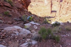
At this point I believe we all knew that we could get down this slope. It would be thrilling, but doable. Noting that Colleen and I were not pushing him down the slope, as we were anxiously taking each step, Scott stopped and turned around. "Okay.....it will take us awhile to get down this....then who knows how long to do the exploring once we were in the Basin....then we need to get back up this in the afternoon sun.....then we still have to drive home.....do we Really want to do this?" I stood staring at the ground. Not really wanting to make eye contact. I Wanted to get down this slope so bad. Colleen finally verbalized what had been in my head for an hour. "This is your dad's dream". So looking at me she goes "what do you want to do?" I stood there doing the math. Driving back mostly in the dark was unacceptable. I finally called an end to it, took a parting photo, and scrambled up the slope, up the cliff drop off, and back to the rim.
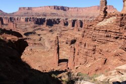
I thanked Scott A LOT during this day. But until now I haven't thank him for this specifically. Knowing how much I wanted to get into Monument Basin he was never overly pessimistic. But knowing how desire can distract from common sense and ability he was never overly optimistic. If he hadn't turned around I would have follow him down the rabbit hole and we would have gotten home after midnight. He read the situation and me perfectly. Thanks Scott.
Back on the rim we kept walking south, knowing that we would shortly be getting to a view of the Colorado River. This shot is from a couple drainage's to the south of the white diamond rock. Last night I poured over Joey's video, my photos, and Google Earth. I am certain that this drainage was where Joey dropped in. We didn't see any benign entry point as we walked by.
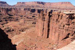
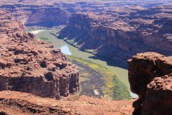
An awesome view of the Colorado River.
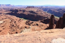
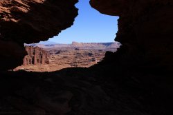
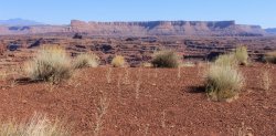
Looking across Monument Basin toward Grandview Point.
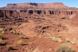
Looking toward Junction Butte.
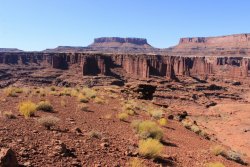
Random monoliths to the west.
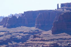
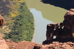
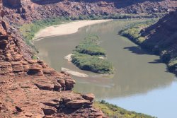
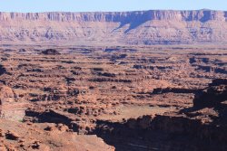
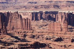
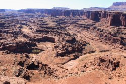
Feeling a bit like a drug addict I tentatively asked. "So.....how much would it add to our day if we were to drive around the corner of the Basin and try to get closer to the Totem Pole? do you think 15 minutes or would it be more like 30?.......since we are in the area." I don't recall getting a reply but I had an understanding that this was now our plan.
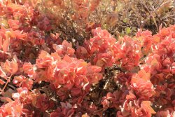
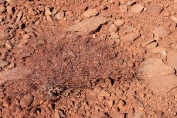
These wire mesh like plants were everywhere. Almost ghost like and we did all we could not to step on them. Which was work.
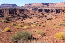
We started to notice this peculiar uplifting/bulging of the white rim surface. If you had accidently step on this it would become a crumbly mess.
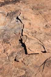
This deep pothole opened up to the wonderful view.
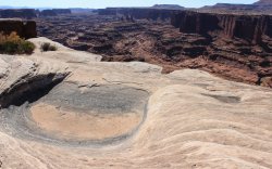
I took this final shot down into the white diamond rock slope. Someday, maybe.
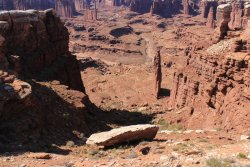
Now where is that car? There it is!
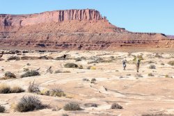
It took me a couple hundred yards to feel bad about (not regret) us driving a bit farther. The closer you get to the rim the more ridiculously bumpy the road gets.
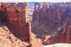
Eventually we get to a likely spot and start walking toward the rim. And there was the 300 ft. Totem Pole!!!!!
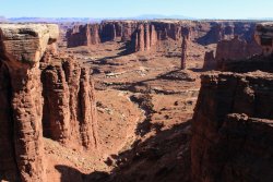
Seeing that the rim circled to the right and closer to the Totem Pole I internally started salivating. We were just standing there in quiet contemplation. Without saying anything I started jogging toward the far point. Hoping that by not discussing what I was doing I was conveying to them that they did not need to follow me. Thankfully they found a nice pinyon pine that had sweet shade.
I got closer to the Totem Pole and had a nice perspective of the terrain that we had hoped to explore. You can see that stupid white diamond rock over there somewhere.
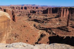
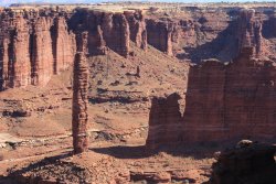
This little excursion added an hour to the day. We started the drive back home at 3:30. So we had 3 hours of daylight to enjoy.
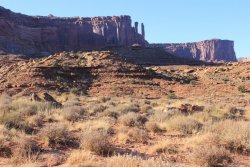
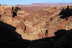
Note the greenish(?) broken table top rock on the slope.
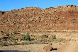
Back at Washer Woman and that Huge alcove.
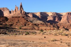
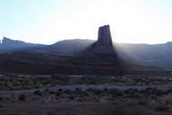
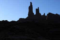
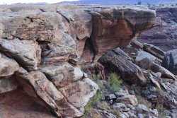
Note that his huge rock in seemingly supported at the bottom by a glass stem like feature/arch/hole
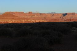
Sunset from the Airport Tower campground outhouse.
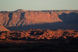
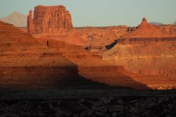
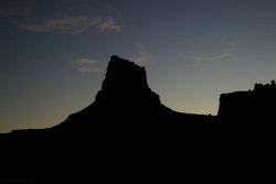
Some cloud action at 6:52 PM
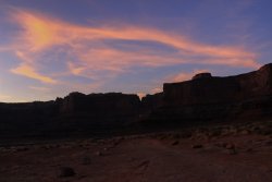
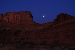
Somewhere along the way the moon seemed to rise "out" of a canyon wall. I took this shot from in front of their home at 9:08 PM.

We learned that you can get to Monument Basin.....just not as a day trip. The thing to do would be to get one of the two campsites at Gooseberry. Then you drop into the Basin in the morning and adventure to your hearts pleasure.
