hatchcanyon
Member
- Joined
- May 29, 2013
- Messages
- 136
Travelling along Utah State Road 24 between Hanksville and Interstate 70 shows some dark red outcrops of Entrada Sandstone similar to these seen in Goblin Valley.
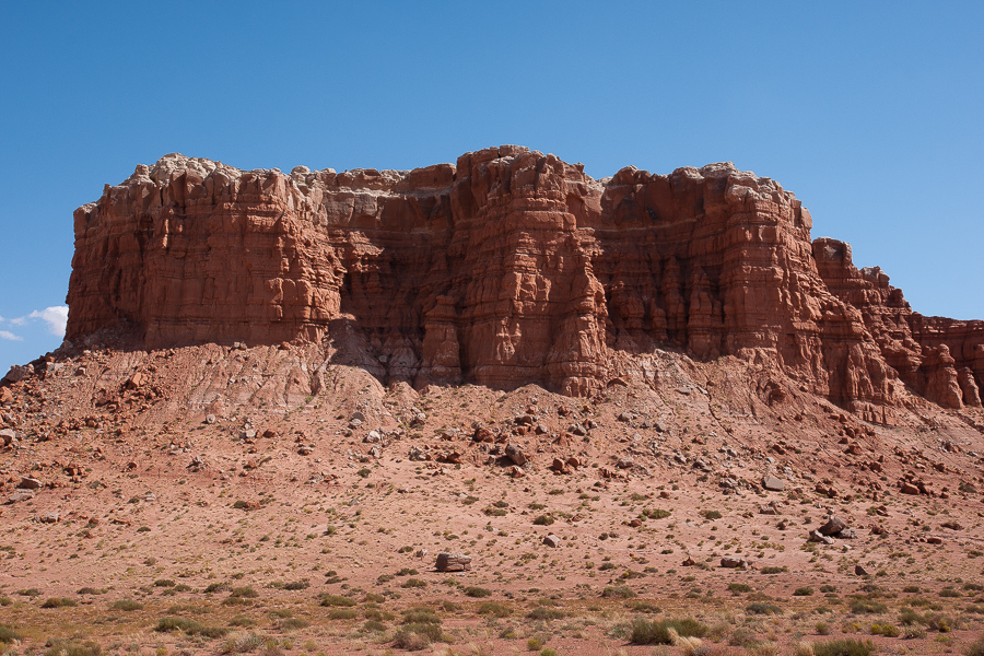
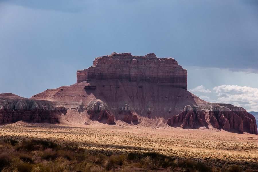
A first red stretch is the so called "Notch" some miles north of Hanksville, followed by the Gilson Buttes south of the entrance road to Goblin Valley. There is a lot of sometimes thriving sand in the area. UDOT has permanently positioned equipment for removing too much sand from the highway.
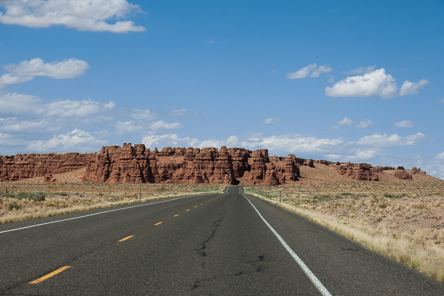
The Notch
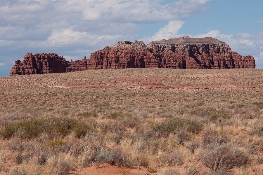
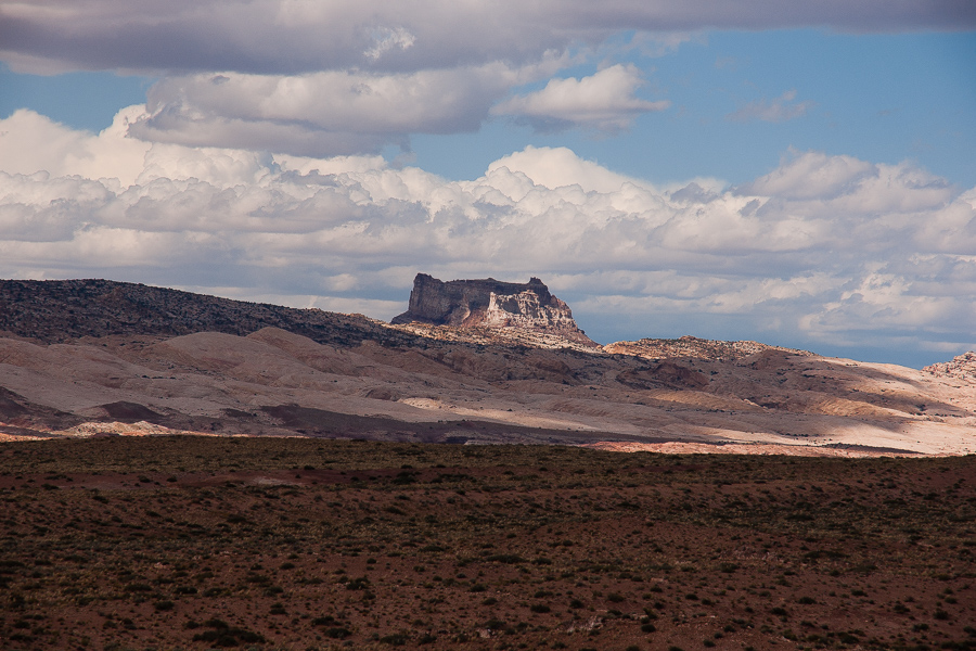
Gilson Butte
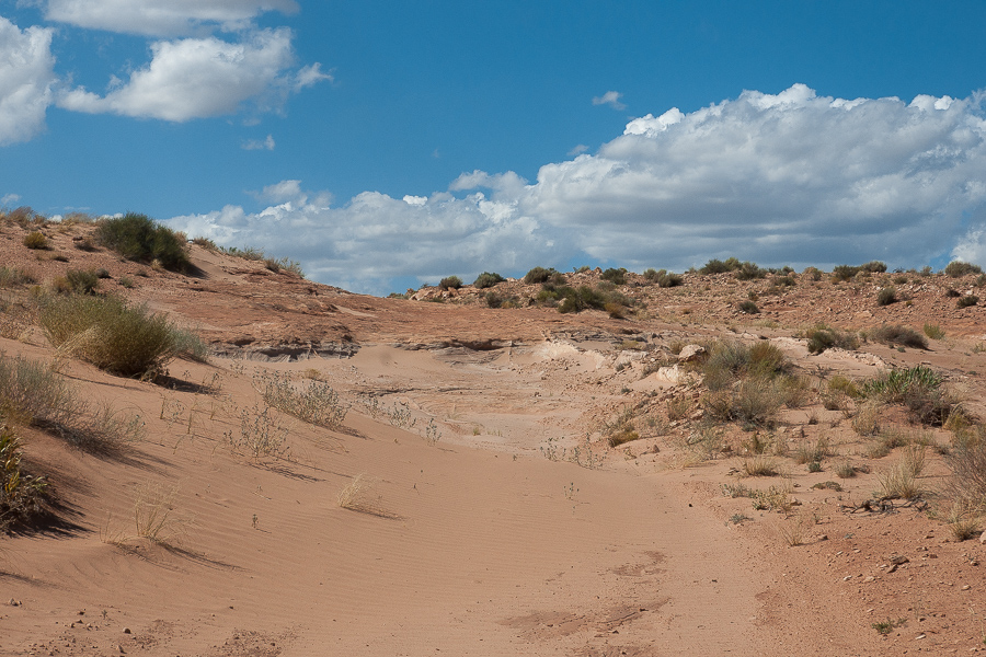
The sand is the reason for travel limitation. No way to reach Gilson Butte - large or small one - by vehicle, but south of the Buttes a sandy spur tends to the San Rafael Reef. We decided to try this one. It starts at 12S 05333312 4266602.
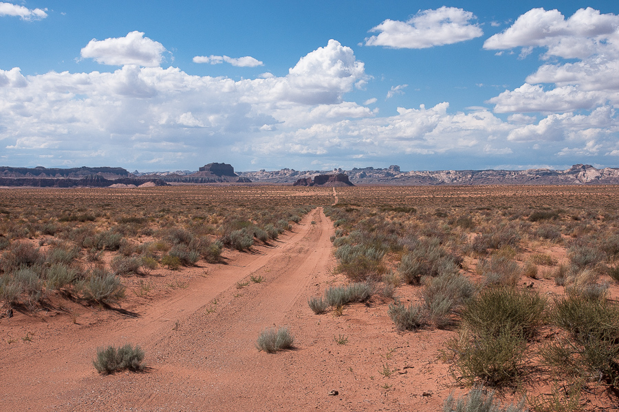
Sandy Road
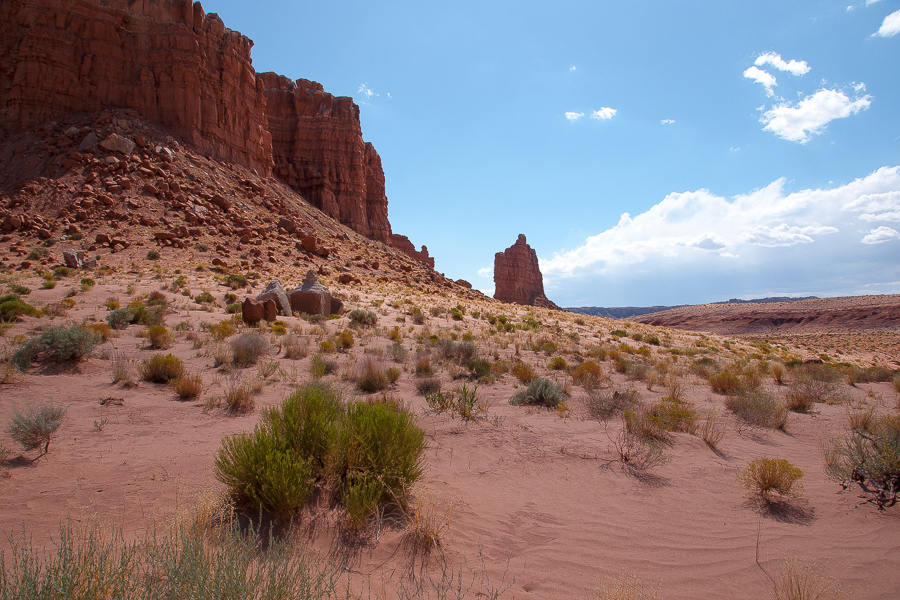
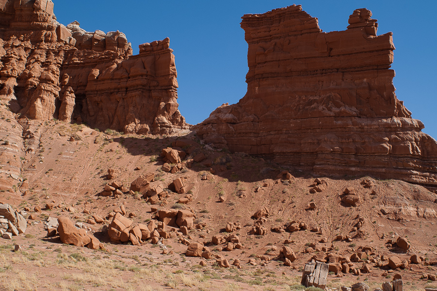
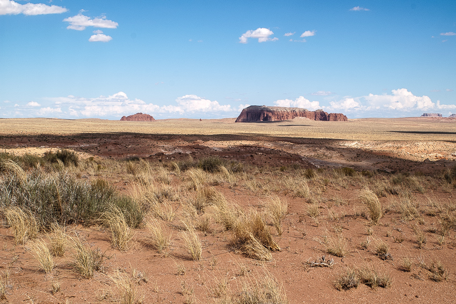
The trail comes sandy, in some places even with dunes. In 2009 the sand was deep and loose, this year in June after the wet spring it was much more solidified. Three and a half mile from UT 24 a red Butte becomes visible. The same structures as the other sandstone outcrops. Deep red Entrada Sandstone capped by grey Curtis Formation. The map reads "Mollys Castle".
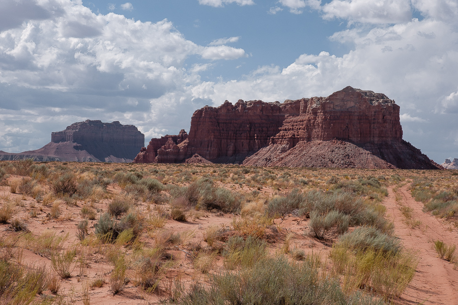
Mollys Castle
On the left in the distance Wild Horse Butte near the entrance of Goblin Valley.
Some short stony stretches
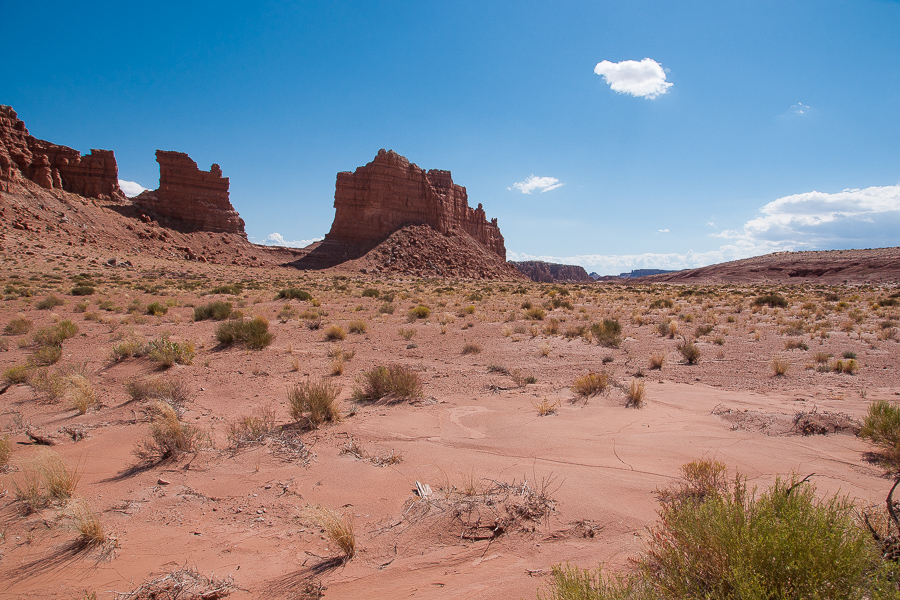
Mollys Castle consists of several parts
Well Draw west of Mollys Castle.
Well Draw runs down to Muddy Creek. Farther south there is another trail into the draw and to the beautiful Fairy Cliffs.
Mollys Castle
Some kind of "unborn" Goblins in the shadow
More of them
A fin?
Walking down Well Draw
Goblin Valley Rim
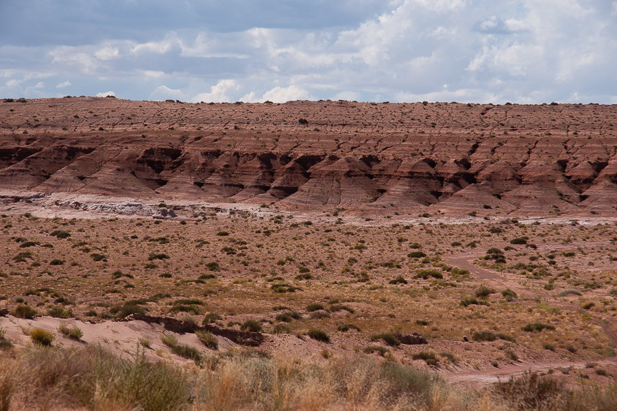
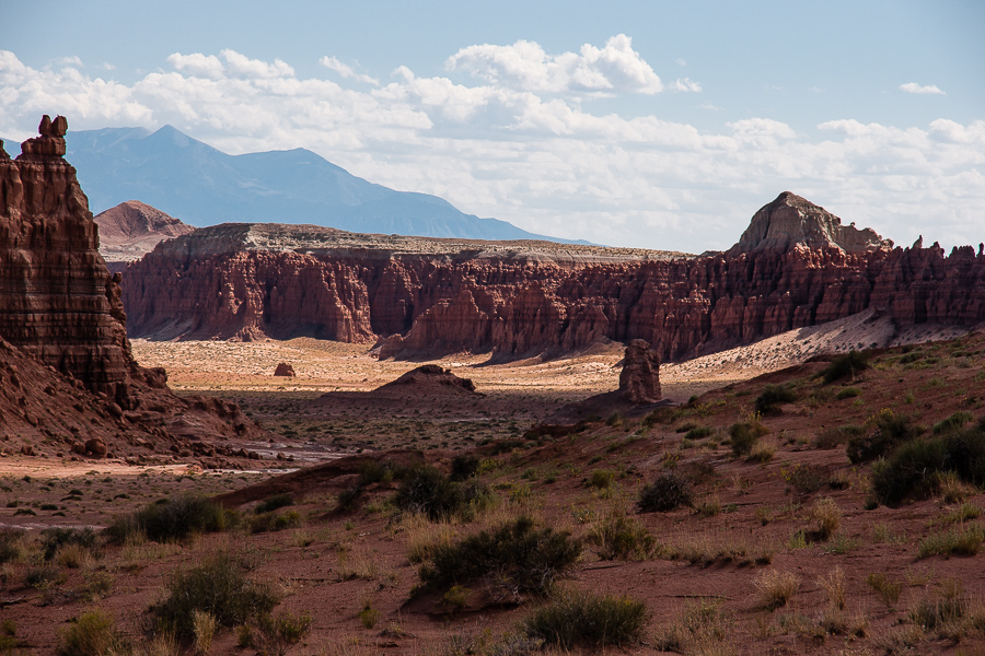
The dark red formations not that far from Mollys Castle are already part of Goblin Valley State Park. Carmel Canyon Trail is one of the State Park Trails going down into the direction of Well Draw too and might be reachable from Mollys Castle. We didn't gave it a try but it might be a backdoor.
The trail does not end at Mollys Castle. Crossing Well Draw and climbing up a hill on the other side it offers a pretty view of the San Rafael Reef. It turns to west take aim at Wild Horse Butte. Beware of the deep ruts, at some places several yards deep.
San Rafael Reef
Wild Horse Butte
Nice place with a view! Something distracting in a distance, the new State Park Entrance Station. Looks to us liike a Mars Station. Why did they not build in red?
To the North Temple Mountain looms across the Reef.
Temple Mountain
Looking back to the Gilson Buttes
All things considered a nice short trip. But beware of deep sand under dry conditions!
A first red stretch is the so called "Notch" some miles north of Hanksville, followed by the Gilson Buttes south of the entrance road to Goblin Valley. There is a lot of sometimes thriving sand in the area. UDOT has permanently positioned equipment for removing too much sand from the highway.
The Notch
Gilson Butte
The sand is the reason for travel limitation. No way to reach Gilson Butte - large or small one - by vehicle, but south of the Buttes a sandy spur tends to the San Rafael Reef. We decided to try this one. It starts at 12S 05333312 4266602.
Sandy Road
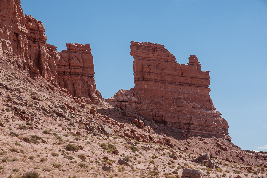
The trail comes sandy, in some places even with dunes. In 2009 the sand was deep and loose, this year in June after the wet spring it was much more solidified. Three and a half mile from UT 24 a red Butte becomes visible. The same structures as the other sandstone outcrops. Deep red Entrada Sandstone capped by grey Curtis Formation. The map reads "Mollys Castle".
Mollys Castle
On the left in the distance Wild Horse Butte near the entrance of Goblin Valley.
Some short stony stretches
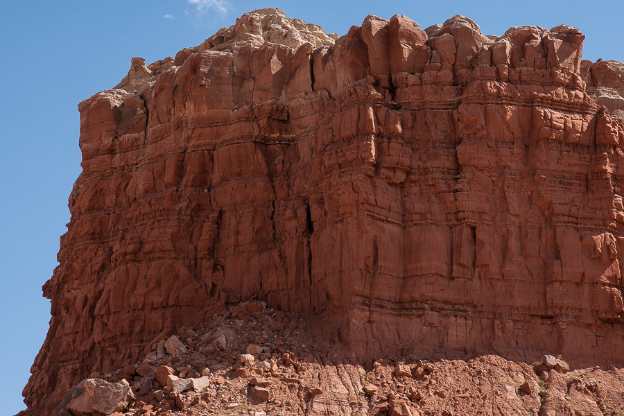
Mollys Castle consists of several parts
Well Draw west of Mollys Castle.
Well Draw runs down to Muddy Creek. Farther south there is another trail into the draw and to the beautiful Fairy Cliffs.
Mollys Castle
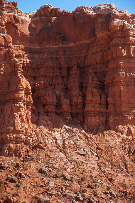
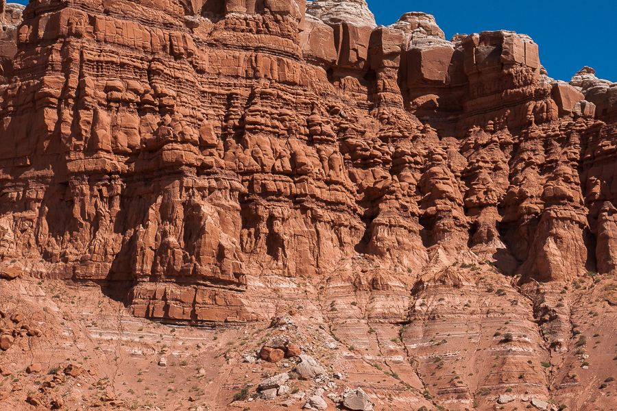
Some kind of "unborn" Goblins in the shadow
More of them
A fin?
Walking down Well Draw
Goblin Valley Rim
The dark red formations not that far from Mollys Castle are already part of Goblin Valley State Park. Carmel Canyon Trail is one of the State Park Trails going down into the direction of Well Draw too and might be reachable from Mollys Castle. We didn't gave it a try but it might be a backdoor.
The trail does not end at Mollys Castle. Crossing Well Draw and climbing up a hill on the other side it offers a pretty view of the San Rafael Reef. It turns to west take aim at Wild Horse Butte. Beware of the deep ruts, at some places several yards deep.
San Rafael Reef
Wild Horse Butte
Nice place with a view! Something distracting in a distance, the new State Park Entrance Station. Looks to us liike a Mars Station. Why did they not build in red?
To the North Temple Mountain looms across the Reef.
Temple Mountain
Looking back to the Gilson Buttes
All things considered a nice short trip. But beware of deep sand under dry conditions!
Last edited: