MtnMatt
Watch yer top-knot
- Joined
- Apr 27, 2013
- Messages
- 61
This is one of those trips that is really 3 trips. I went into Ryder Lake with a couple of my brothers a few years back. We went in from Christmas Meadows like any normal (smart) people do. It is a really nice hike along a beautiful stream but its kinda long and at the end when your already tired it gets REALLY STEEP. Then you are rewarded with being in a beautiful basin that is full of lakes most of which have fish and some have some pretty nice ones. I had heard my Dad tell stories of visiting this area years ago but he claimed to have just parked at the highline trailhead and humped it over the ridge. this was back in the day...no GPS or high tech gear just "knowing where he was going" and "just doin it" I called BS every time we would look at Hayden peak from the look out on the highway just below bald mtn pass. But now that I was in there and taking some waypoints on my GPS and lookig things over I decided I needed to try it for myself. We caught some pretty big Cuts in one of the lakes so my motivation to get back as soon as possible was even greater. I needed to know if this was somewhere I could visit for a nice day trip or even a quick overnighter. We got out from this trip as the snow started to fly for the year so I had to wait all winter but as soon as the snow was melted the next spring I recruited a couple of hiking buddies to see if we could get over the ridge. We just made a day hike to get to the top and look around. The hike up from the Highline was BRUTAL but once up there it was sooo cool to see the other side. I owed Dad an apology
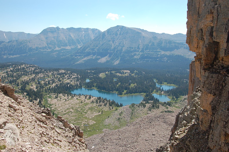
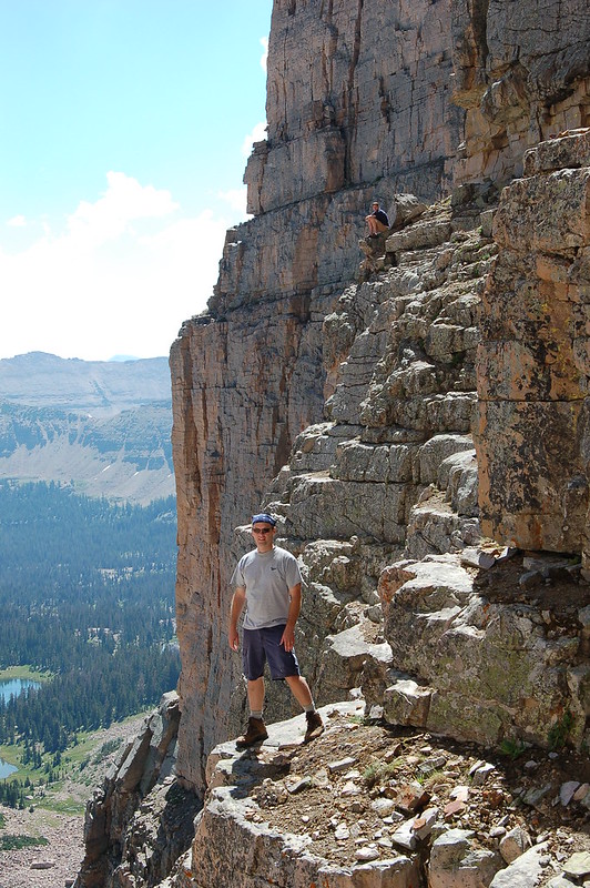
I took a minute to ponder and think about how to get down the other side and maybe should we try it right now??
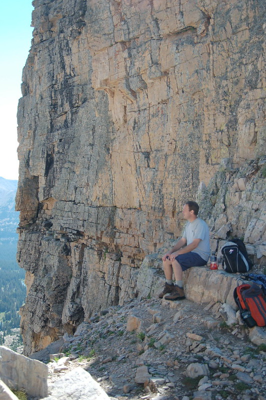
Naw time to go back and tell Dad he was right AGAIN and then gear up and get in there! One of the guys on the day hike was all geeked about going back with me so we planned to go over the 24th of July. It was going to be a long weekend and I hate parades so what better time to get away from the crowds and catch some big fish. The day before we were set to go my buddy calls up and says he can't make it, something about previous commitments that he forgot about until his wife reminded him. Im pretty sure he camped out for a spot on the parade route
Whatever. His loss was my gain. My wife heard my dissapointment from the other room and being the best friend that she is she said if we could get my neice to watch the boys overnight she would go with me. She is AWESOME! so is my neice for the sake of this story. So we head out for the trailhead kinda late. It is a quick drive from Layton. We park the car and she looks at the route and has serious 2nd thoughts but we're here so lets go for it. an hour later we are on top of the world or at least the ridge and the setting sun is playing out the most amazing show down in the basin. I start to break out the tripod and set up for some amazing photos but Sherry points out that we still need to get down the other side of a very steep mountain in the setting sun and we have never been on this route so in other words: Move it or loose it buddy! I did the best I could without the tripod
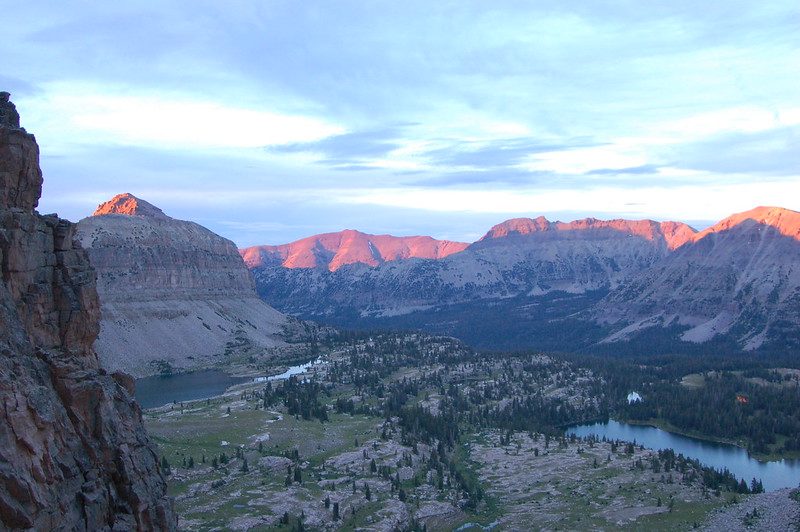
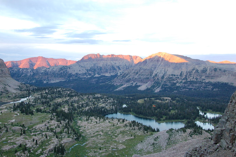
It looked SOOO Much better in person.
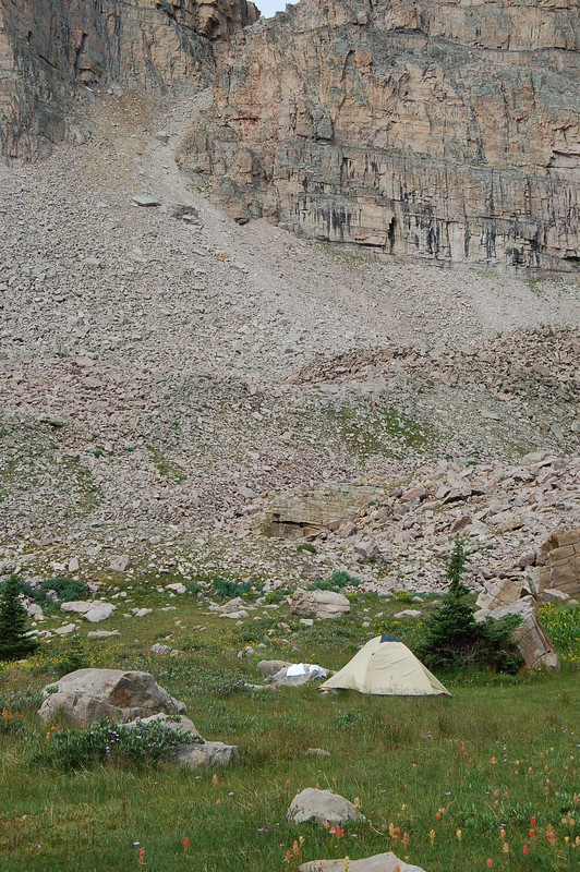
So we scramble down the other side and it was pretty bad. really steep. lots of loose talus and a couple of fairly big rocks that seemed precariously perched. just waiting to be knocked loose by some idot trying to use them to stop his out of control skiing down the hill. We got to the bottom as the last of the evening twilight faded into black. We found a great campsite and set up the tent in the dark. I promised to cook dinner while Sherry set up the beds. There was a spring nearby and really in the full light of midday I couldn't have found a better campsite. This is what it looked like the next morning.
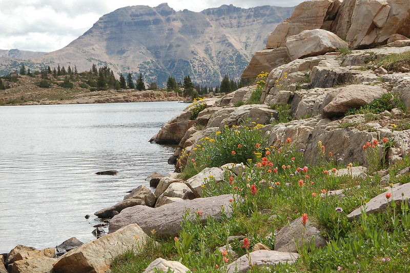
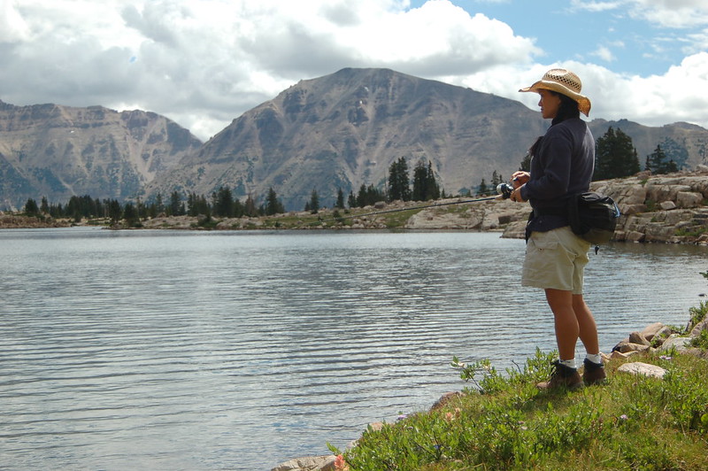
So now we had the whole basin to ourselves and it was time to do some exploring and show the wife where the big fish were. Of course the big fish didn't co-operate this time but we still had a great time and the wildflowers were more than willing to compensate. The fishing was ok too just no big guys
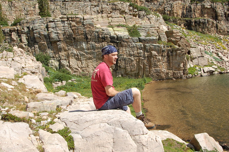
So it was time to pack up and get back over the ridge. It was easier going up and over from this side. We made good time and got to the car just ahead of the weather.
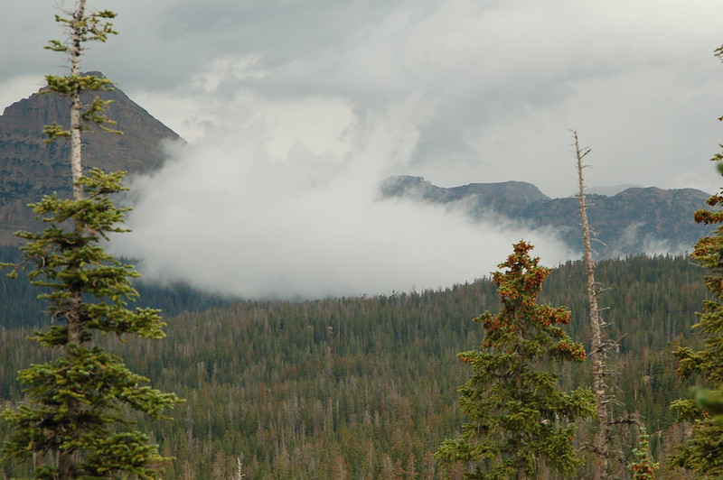
Best overnighter ever! and it only took calling my dads bluff, hiking in the long way, reconitering it the right way, freind bailing last minute, BEST FREIND ponying up last minute and my neice helping out. Yep. peice o cake
Featured image for home page:


I took a minute to ponder and think about how to get down the other side and maybe should we try it right now??

Naw time to go back and tell Dad he was right AGAIN and then gear up and get in there! One of the guys on the day hike was all geeked about going back with me so we planned to go over the 24th of July. It was going to be a long weekend and I hate parades so what better time to get away from the crowds and catch some big fish. The day before we were set to go my buddy calls up and says he can't make it, something about previous commitments that he forgot about until his wife reminded him. Im pretty sure he camped out for a spot on the parade route
Whatever. His loss was my gain. My wife heard my dissapointment from the other room and being the best friend that she is she said if we could get my neice to watch the boys overnight she would go with me. She is AWESOME! so is my neice for the sake of this story. So we head out for the trailhead kinda late. It is a quick drive from Layton. We park the car and she looks at the route and has serious 2nd thoughts but we're here so lets go for it. an hour later we are on top of the world or at least the ridge and the setting sun is playing out the most amazing show down in the basin. I start to break out the tripod and set up for some amazing photos but Sherry points out that we still need to get down the other side of a very steep mountain in the setting sun and we have never been on this route so in other words: Move it or loose it buddy! I did the best I could without the tripod


It looked SOOO Much better in person.
So we scramble down the other side and it was pretty bad. really steep. lots of loose talus and a couple of fairly big rocks that seemed precariously perched. just waiting to be knocked loose by some idot trying to use them to stop his out of control skiing down the hill. We got to the bottom as the last of the evening twilight faded into black. We found a great campsite and set up the tent in the dark. I promised to cook dinner while Sherry set up the beds. There was a spring nearby and really in the full light of midday I couldn't have found a better campsite. This is what it looked like the next morning.

So now we had the whole basin to ourselves and it was time to do some exploring and show the wife where the big fish were. Of course the big fish didn't co-operate this time but we still had a great time and the wildflowers were more than willing to compensate. The fishing was ok too just no big guys


So it was time to pack up and get back over the ridge. It was easier going up and over from this side. We made good time and got to the car just ahead of the weather.

Best overnighter ever! and it only took calling my dads bluff, hiking in the long way, reconitering it the right way, freind bailing last minute, BEST FREIND ponying up last minute and my neice helping out. Yep. peice o cake
Featured image for home page:


