- Joined
- Jul 23, 2013
- Messages
- 1,666
Memorial Day is always one of those bittersweet times. It's a day we remember loved ones who've passed before us and others who have nobly served our country. It's also an opportunity to spend some time with your living family and make some great memories, especially in the outdoors. This year, we made another trip down to Torrey to do both.
Memorial Day
Monday - May 30, 2016
After arriving at my in-laws on Sunday evening and getting all settled in, we awoke with plans to visit some grave sites of ancestors and relatives of my wife, Jessica, and her family. We made a short trip out to Loa to visit the cemetery there and then circled back through Teasdale's cemetery before finishing out back in Torrey.
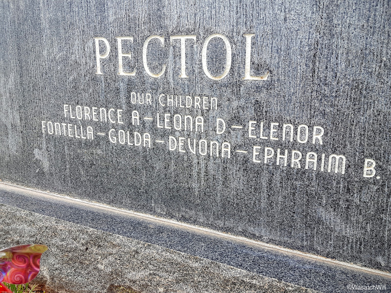
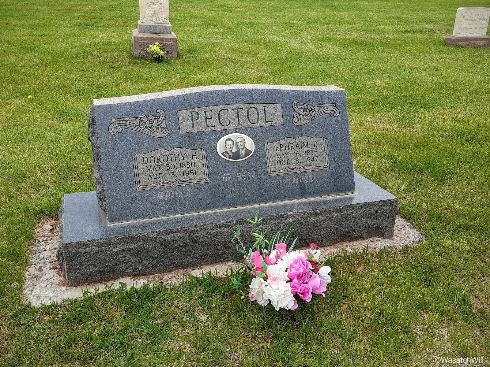
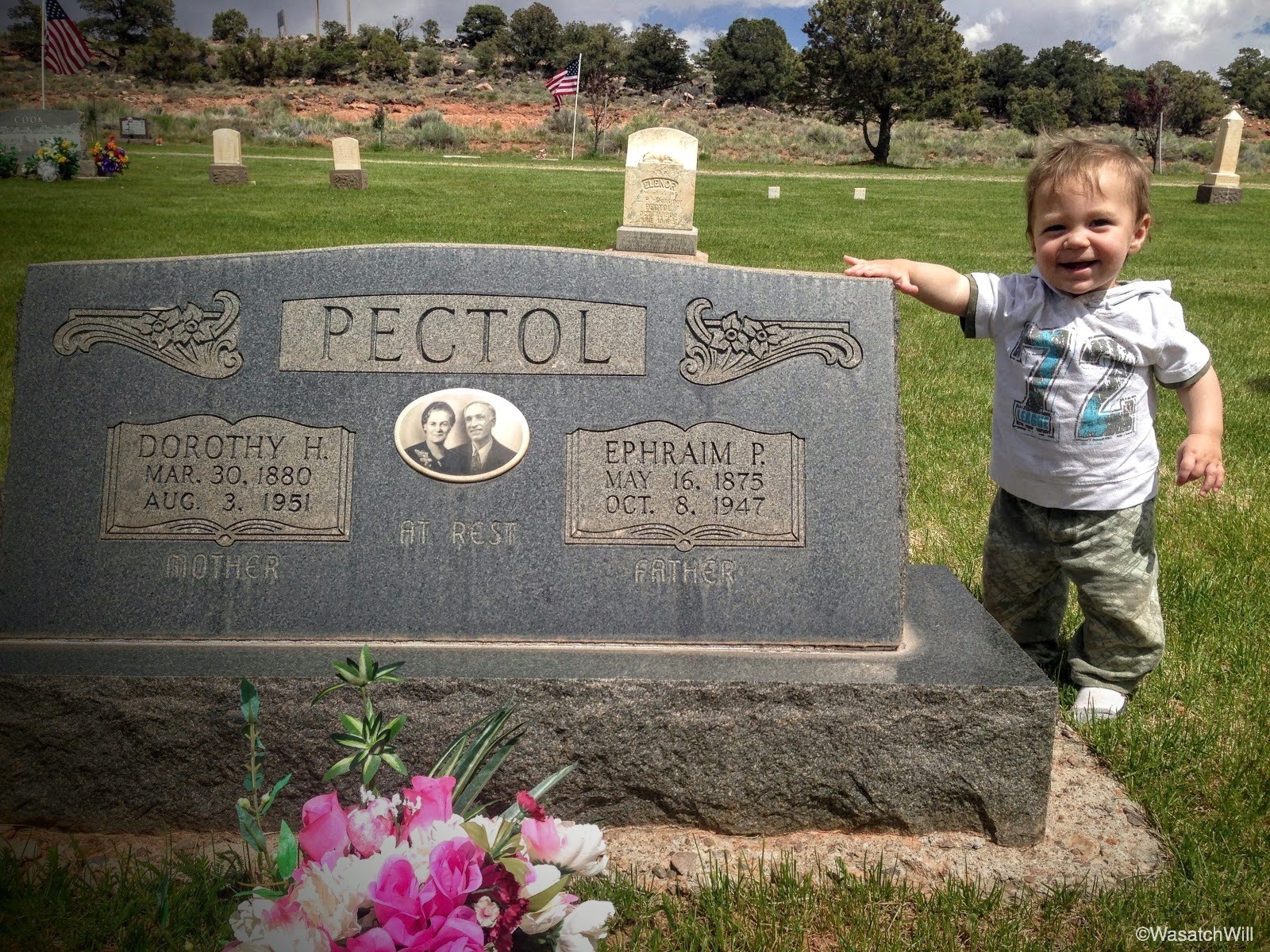
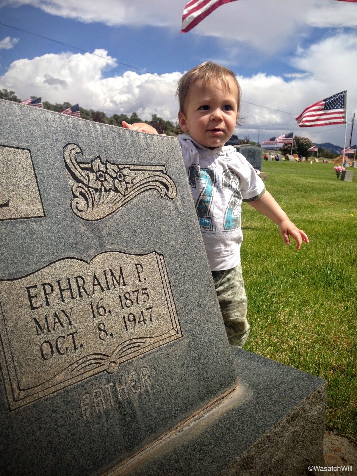
Among all the sites we visited was that of Ephraim Portman Pectol and his wife, Dorothy (Hickman) in Torrey's cemetery. Ephraim is the great-great-grandfather to my wife and thus the great-great-great-grandfather to our children. What is noteworthy about Ephraim is that after running the still-standing Chuckwagon store and serving as bishop of the Mormon congregation in the town of Torrey, he was elected to the Utah State Legislature. While in that position, he and his brother-in-law, Joseph Hickman, with their passion for wilderness exploring and love of their Wayne [County] Wonderland, were instrumental in getting President Theodore Roosevelt to designate what is now Capitol Reef National Park as a federally protected national monument in 1937. Iconic landmarks in the park, Pectol's Pyramid and Hickman Bridge are named after them, respectively.
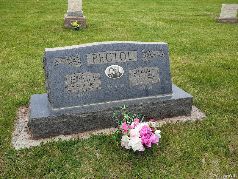
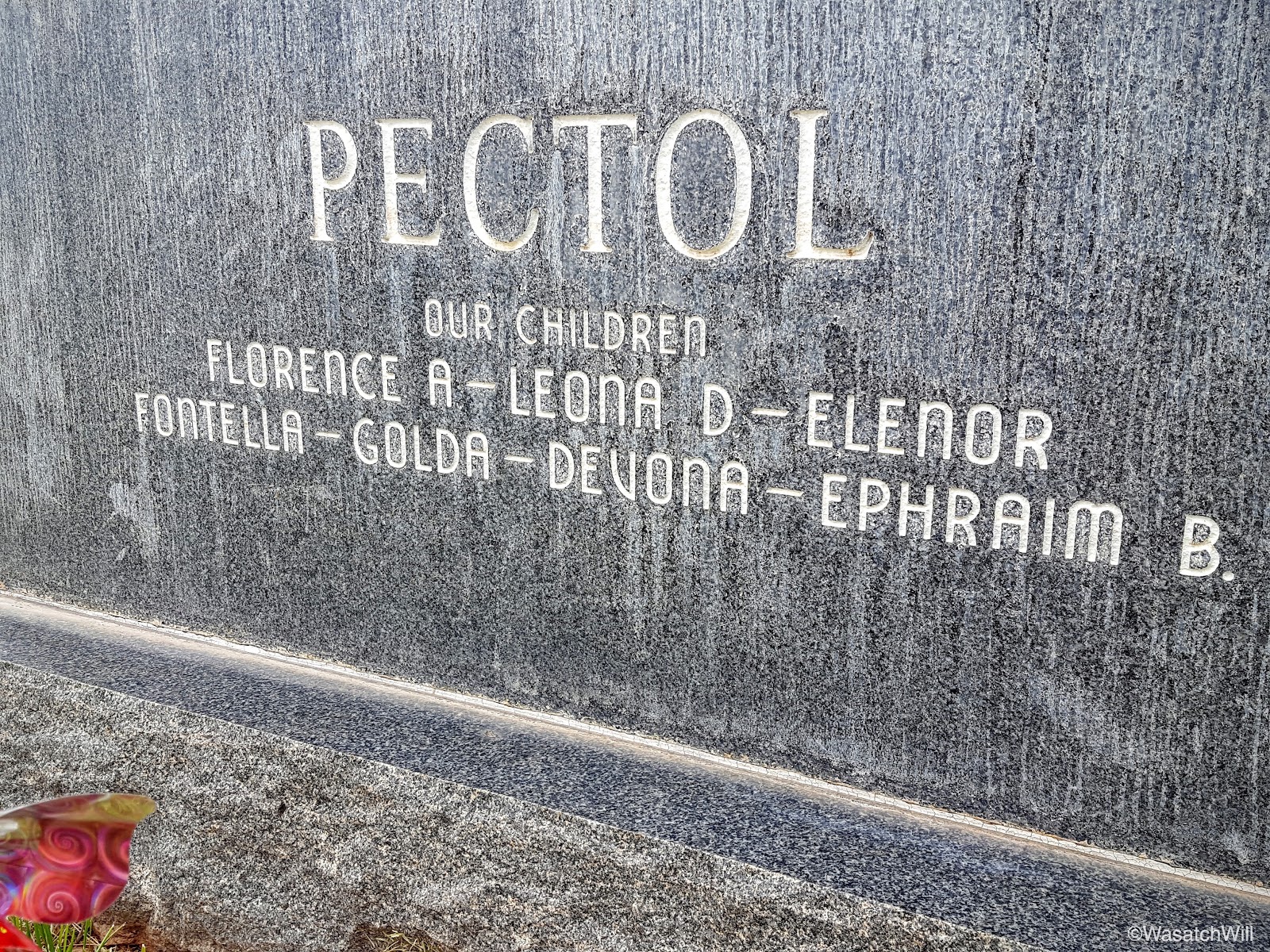
More importantly though, Ephraim was a faithful father who has been succeeded by an amazing posterity including my wife, who I'm so blessed to be married to, and our children. My wife and her dad are descendants of Ephraim through his daughter, Florence.
Our youngest son's middle name is Ephraim and comes from this same ancestor of his.


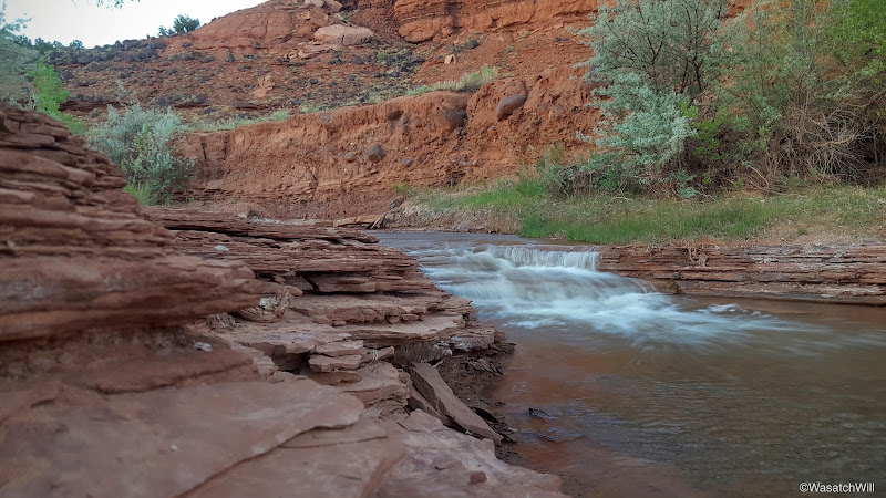
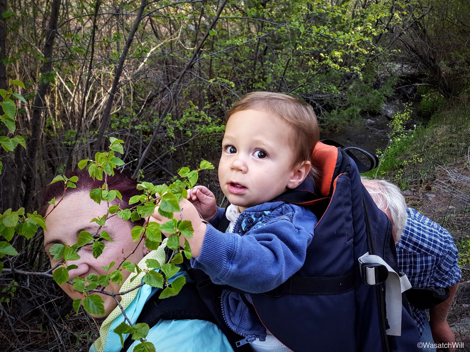
After paying our respects, we had some daylight left for some local exploring. Jess's dad took us up off Highway 12 for a bit to try and scout out some good fishing spots along a creek. We didn't have much luck with that, but we sure enjoyed the pleasant atmosphere.

Tuesday - May 31, 2016
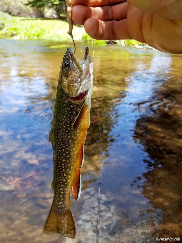
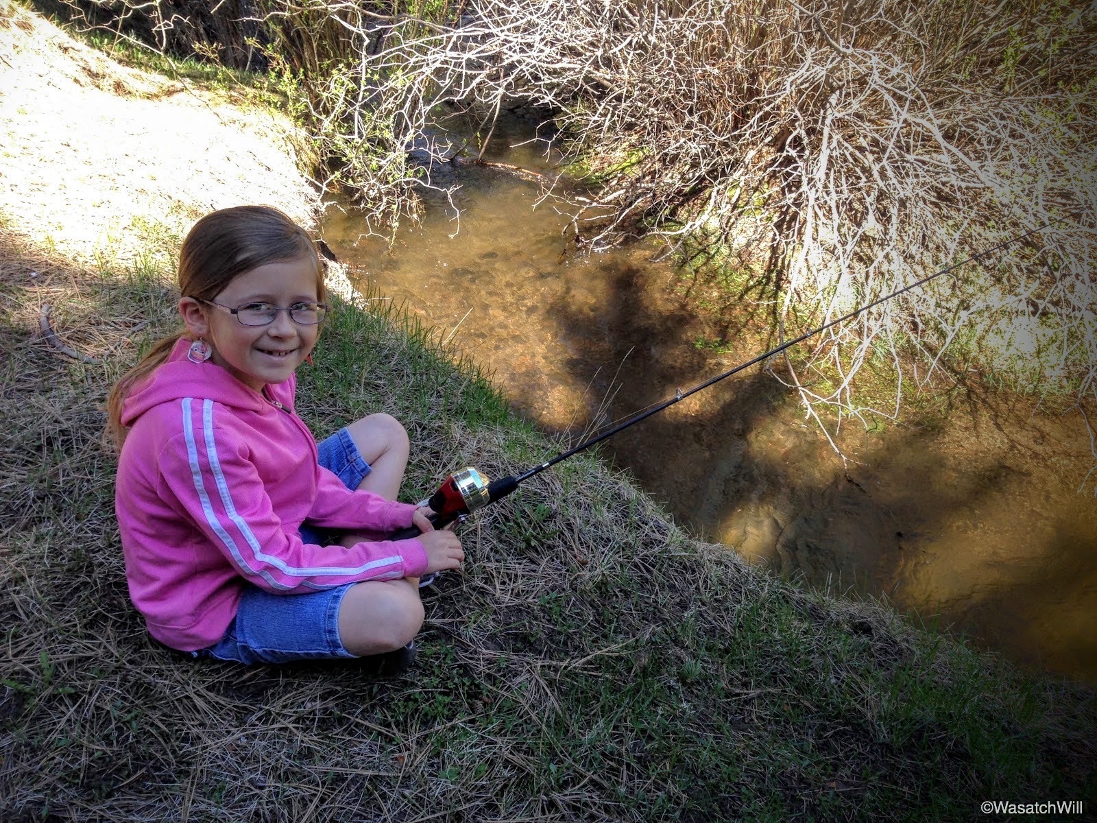
On Tuesday, we drove back up Highway 12 and further up onto Boulder Mountain with our kids in tow to do some fishing with their grandpa down along the banks of Pleasant Creek.

It wasn't too long before we started getting some action on our lines.

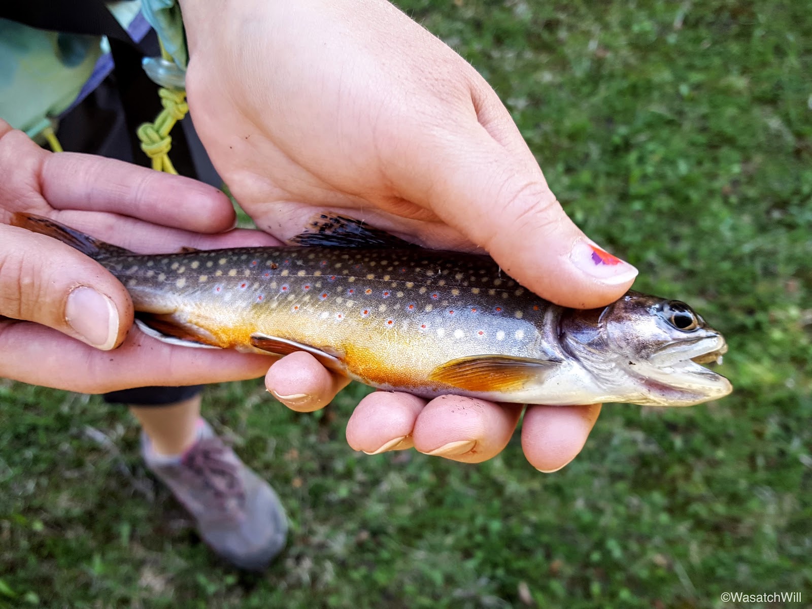
I was the last one to make a catch, but catch one I did. They were all small little brookies.
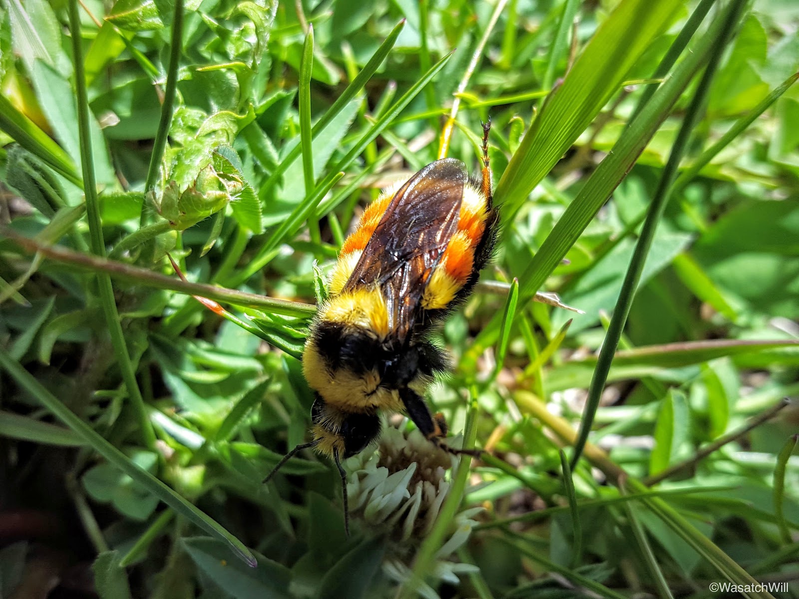
On our way back up the meadows, I stumbled into this guy buzzing through the grass.

Wednesday - June 1, 2016
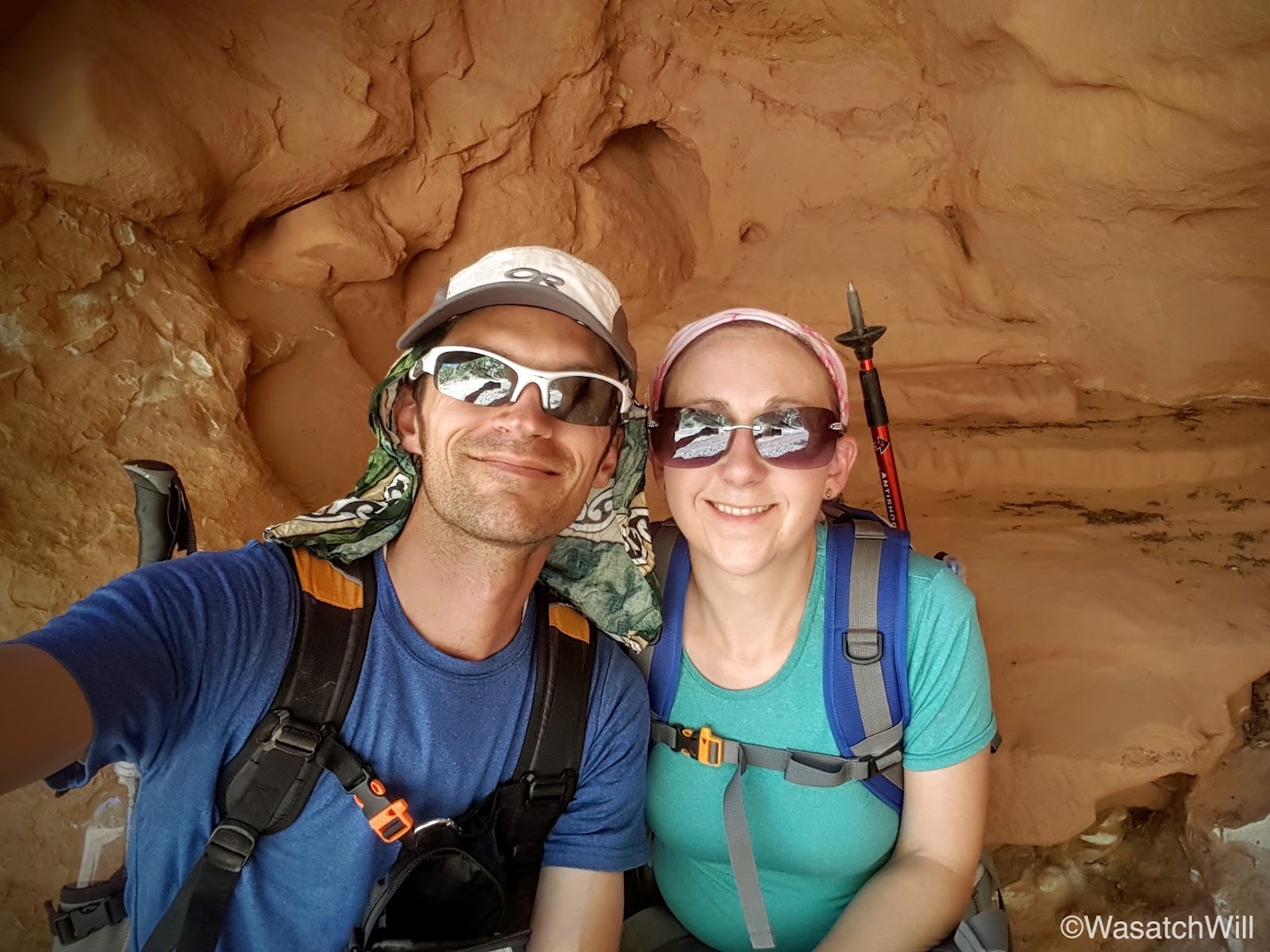
Wednesday was a day I got to take Jessica out on what has become one of my favorite hikes in the area thus far: Capitol Reef's Spring Canyon. We were actually packed and ready to go up the evening before to make a backpacking trip out of it, but Jessica's mom wasn't feeling 100 percent and we didn't want to burden her with tending all of our kids through the night, so we opted to hang around on Tuesday evening and make it a day-hike on Wednesday instead, assuming she'd be feeling a bit better then.
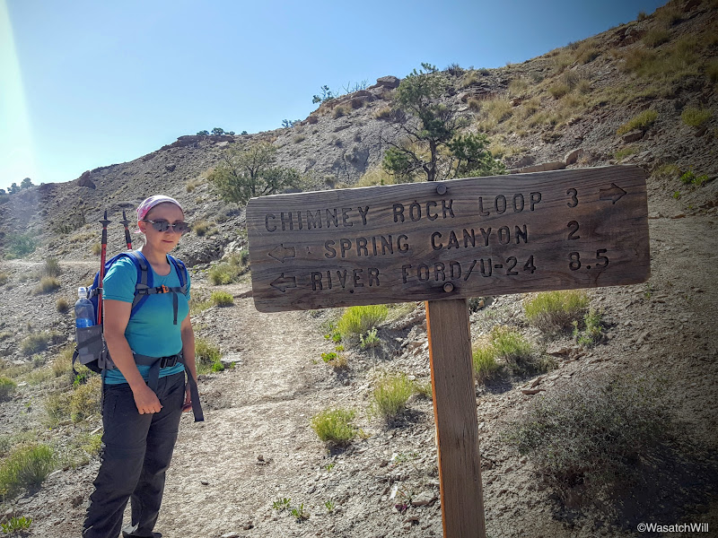
Fortunately, she was feeling a better and so the hike was on. Because we'd be hiking about ten miles one way we relied on Jess's dad to serve as a shuttle. We staged our car at the end of the hike whereupon her dad then drove us back up to Chimney Rock, our starting point.

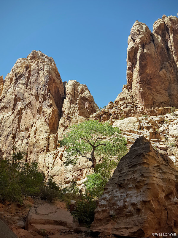
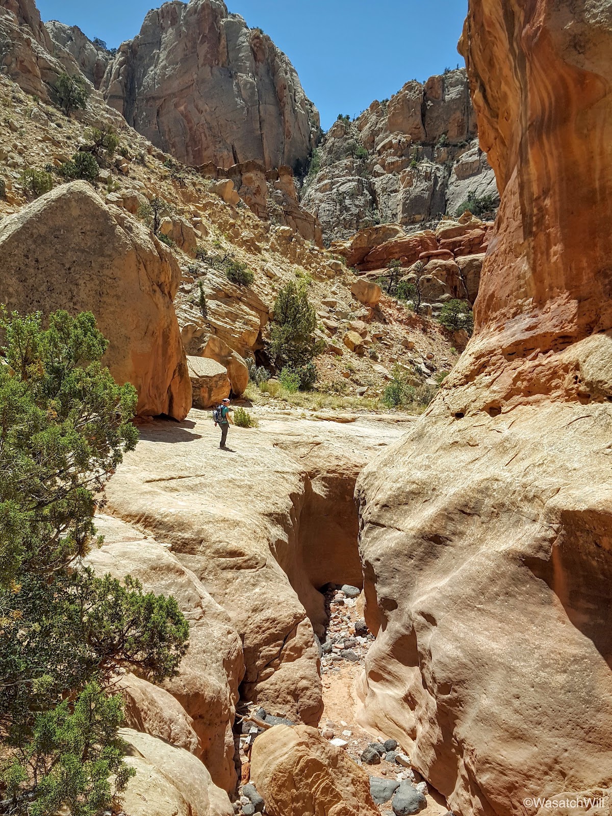
The trail heads up hill in a hurry to gain the mesa top above Mummy Cliffs and Chimney Rock.
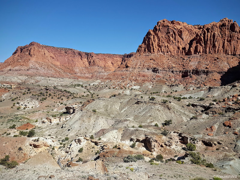
Getting to the first fork in the trail and its accompanying sign marked the end of the only significant uphill hiking, which isn't much, unless you're like the couple who we had just recently passed moments before where they stopped to turn around, stating that was as high as they were comfortable with. Perhaps they were from the South or along the East Coast or elsewhere and were just not used to or experienced with higher elevations yet. Last year on my journey through here, I chose to go to the right and circle above Chimney Rock and take in the views from the top of Mummy Cliffs. This time, we'd keep to the left, saving ourselves an extra mile or so, and go straight up the Chimney Canyon trail. Between here and the mouth of Chimney Canyon would be all new to me.
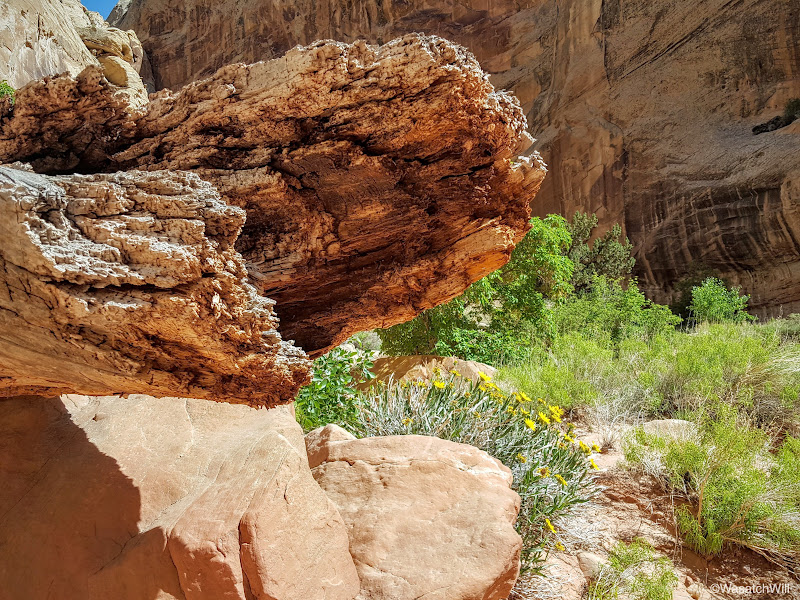
Petrified wood is abundant throughout Capitol Reef and the southwest. The trail we were on passed by a bunch of it and even crossed right over a small exposed log.
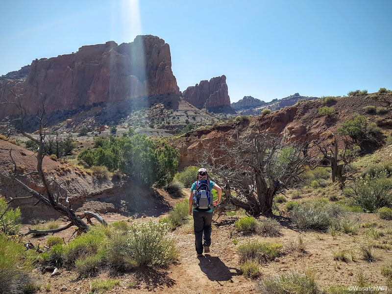
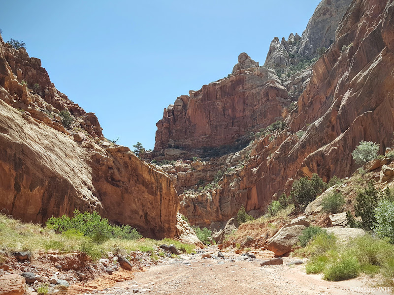
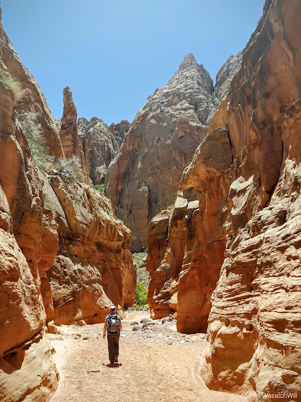
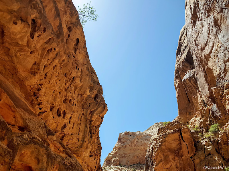
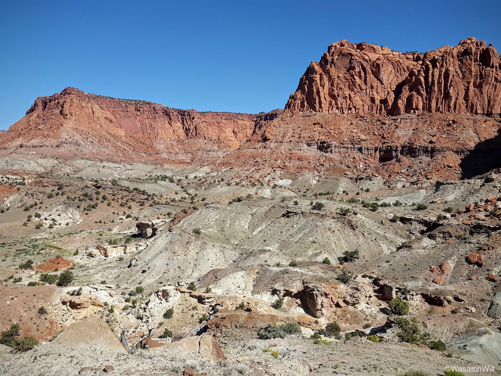
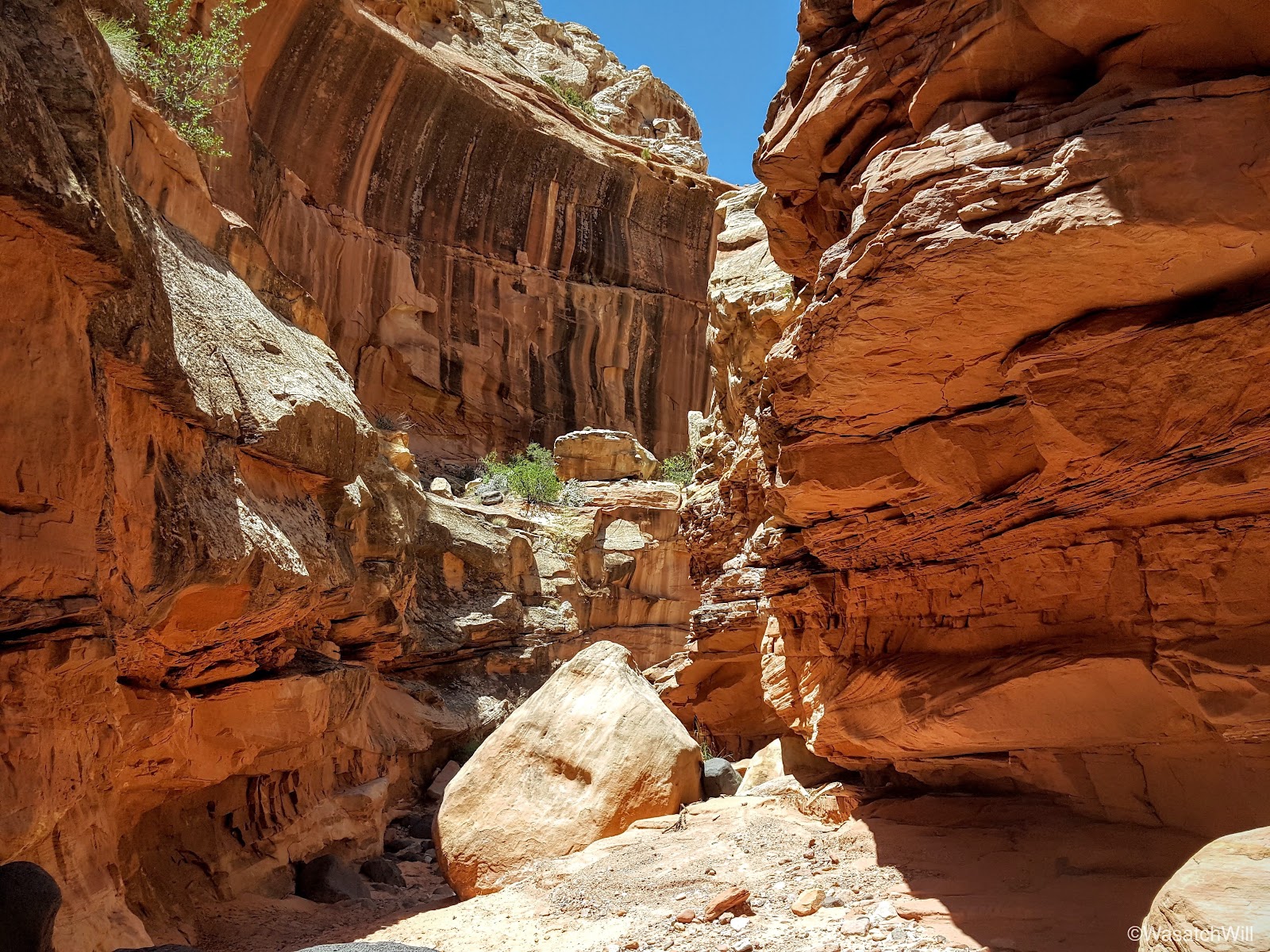
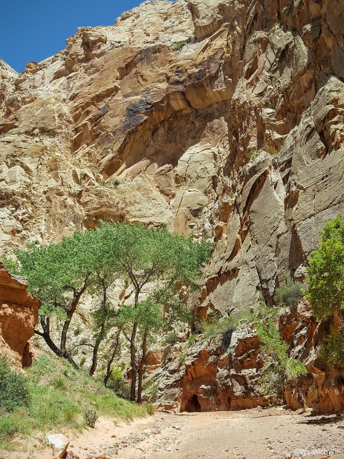
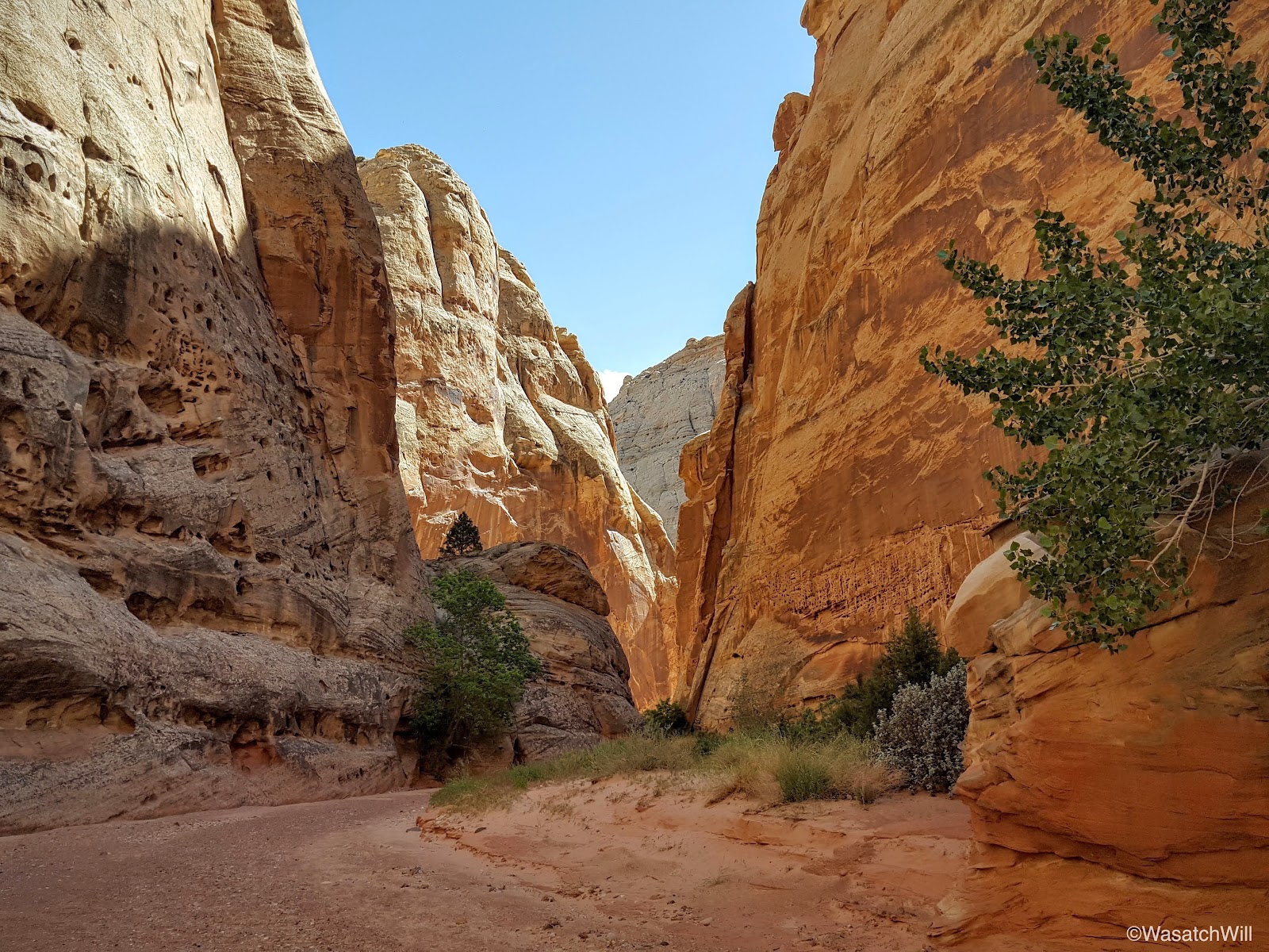
To get into Spring Canyon, we had to travel through the short but scenic Chimney Canyon.
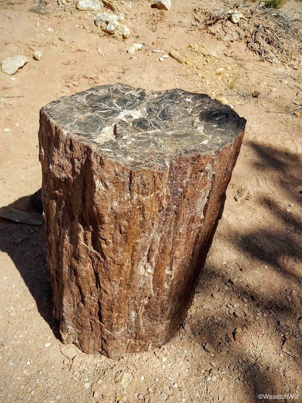
Shortly after entering Chimney Canyon, we stumbled into another real nice piece of petrified wood. It proved to be a perfect little stool to rest on.
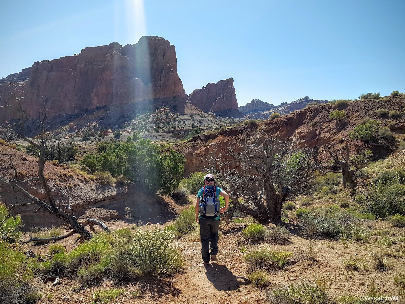
Chimney Canyon in and of itself is a beautiful hike, and does see a fair share of visitors due to how short and how close it is to the very popular Chimney Rock Loop.
Desert flowers were in full bloom all along the way.


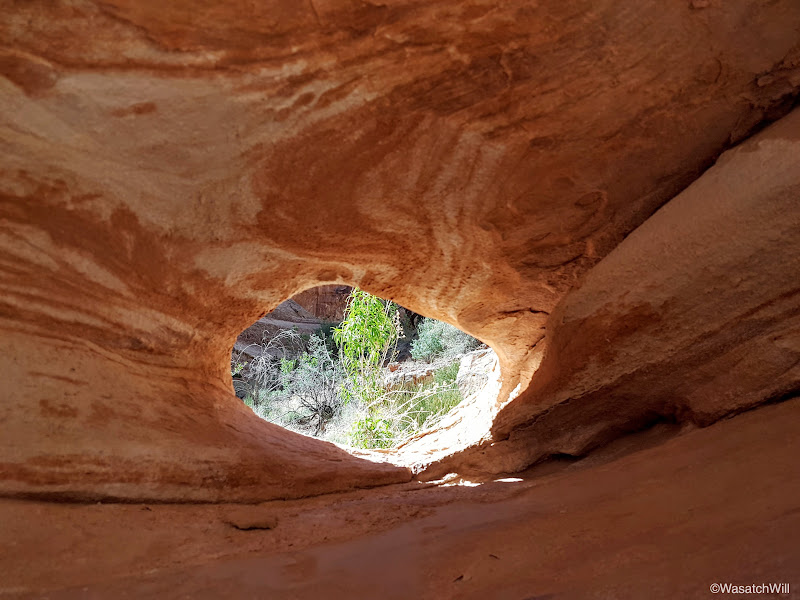
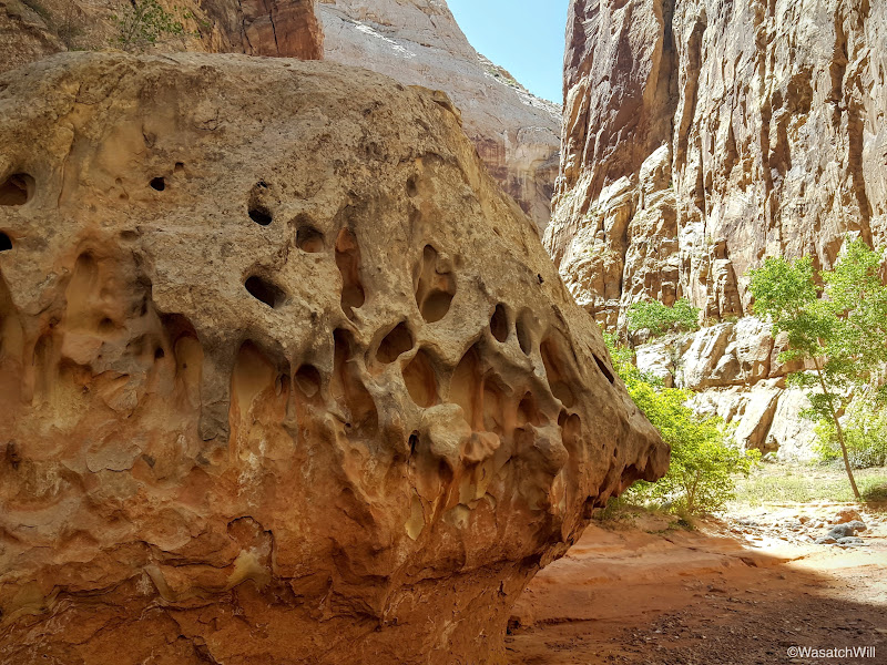
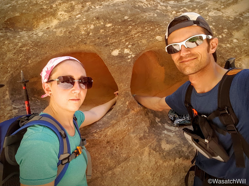
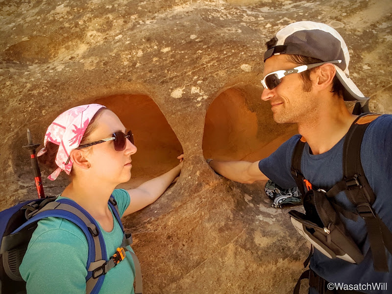
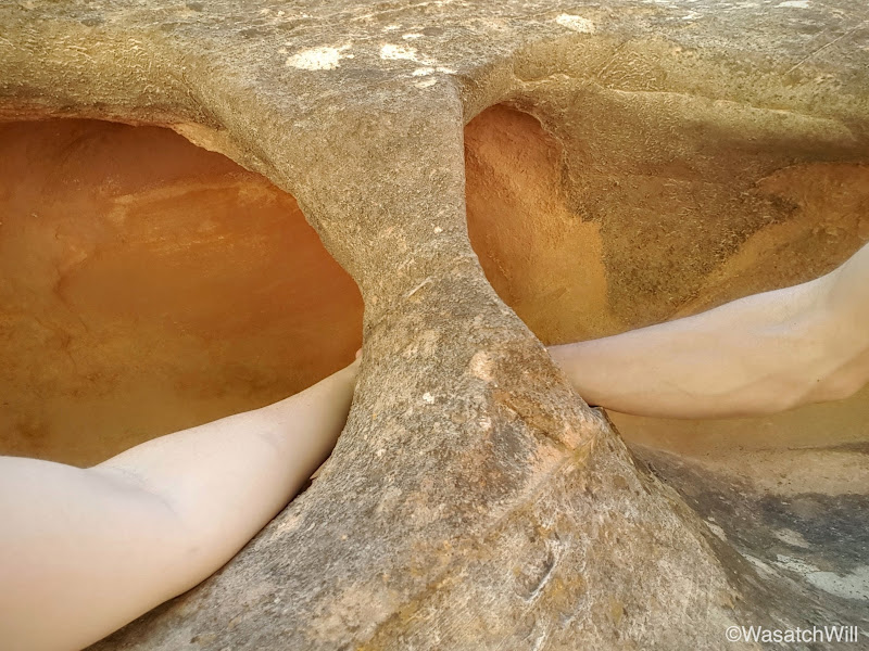
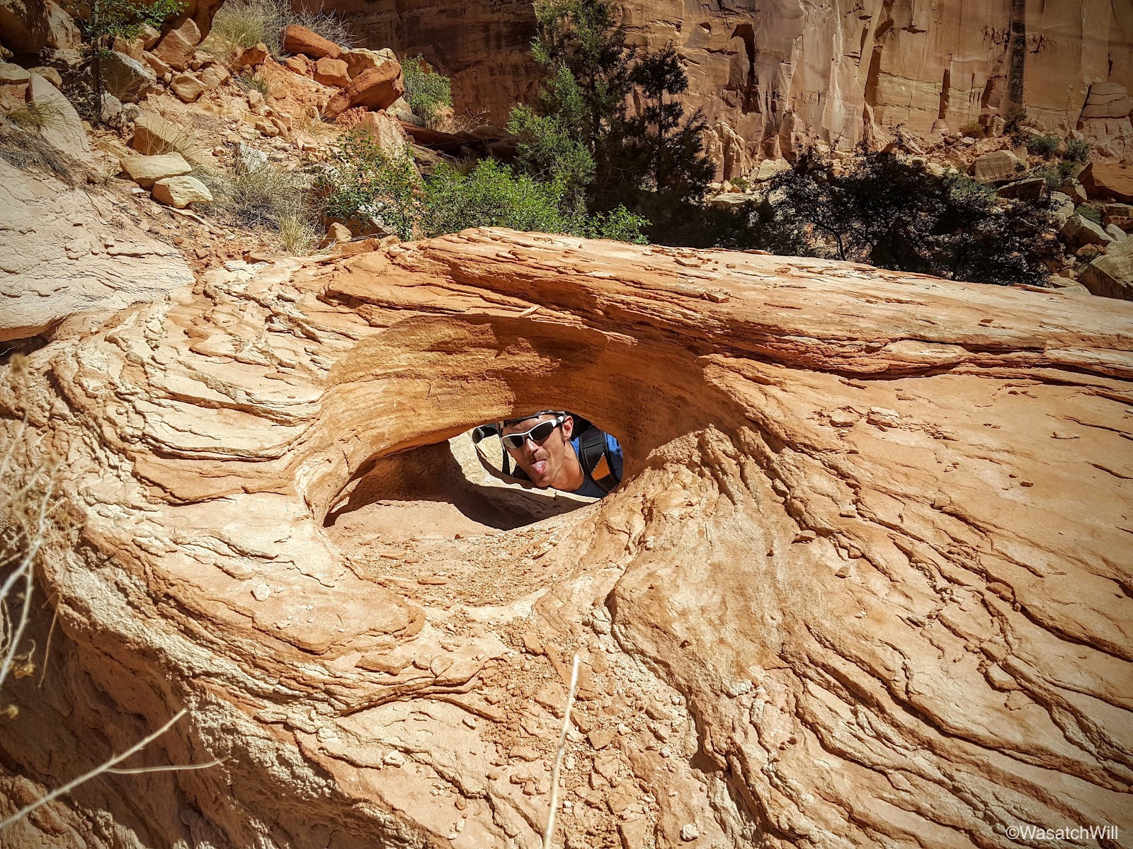
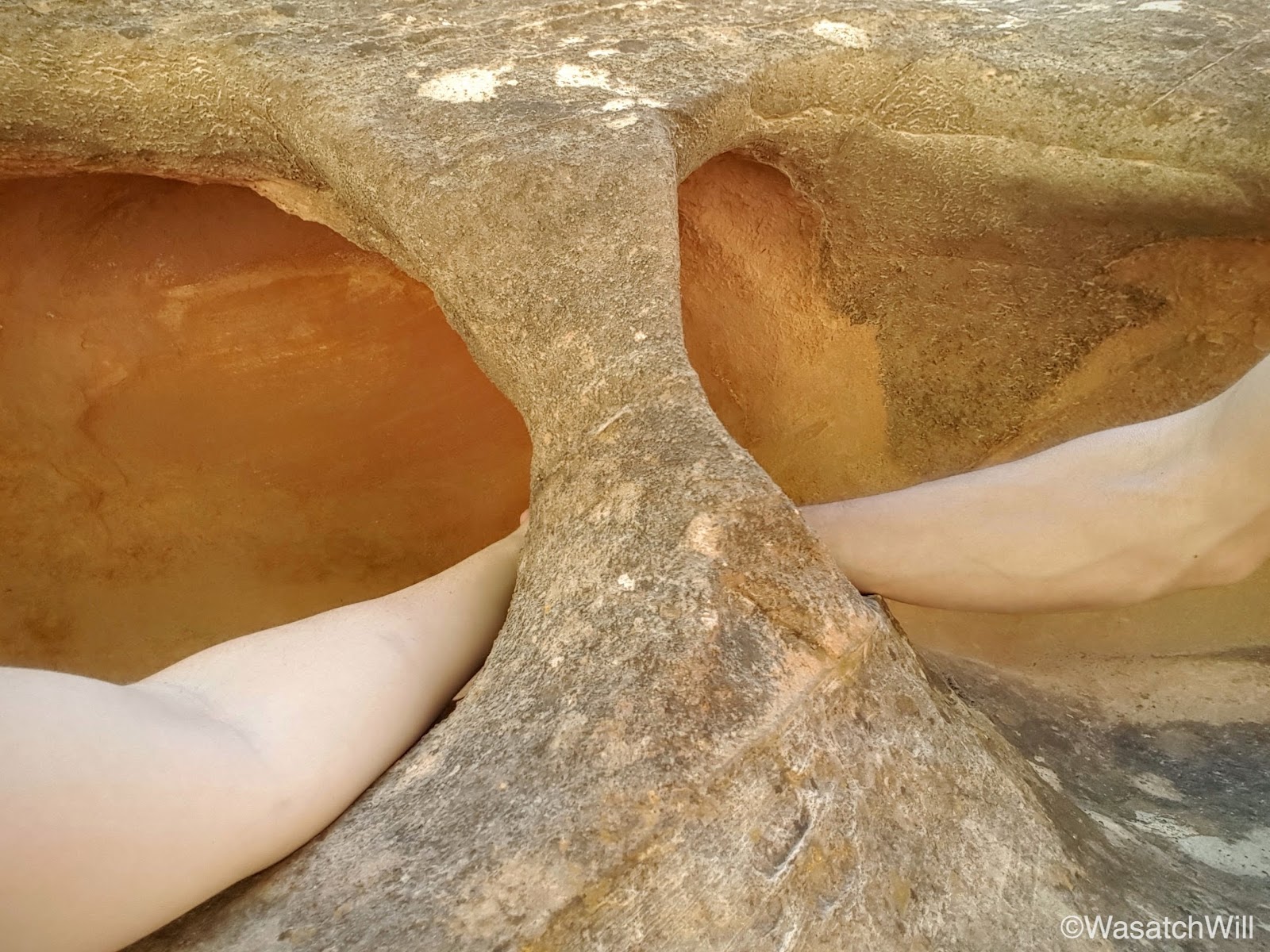
Still in Chimney Canyon, I spotted a hole that had been eroded through a large sandstone boulder along the side of the wash we were hiking and so we had a bit of fun with it.
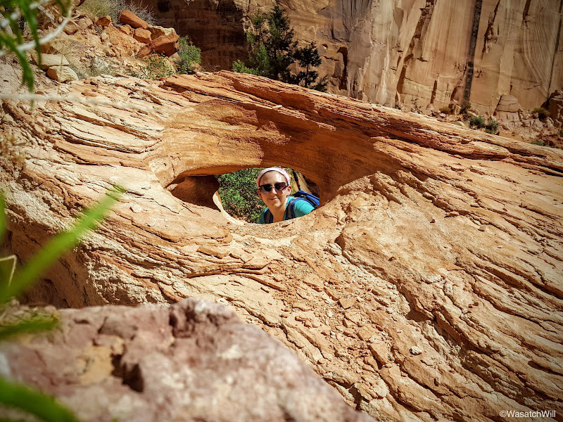
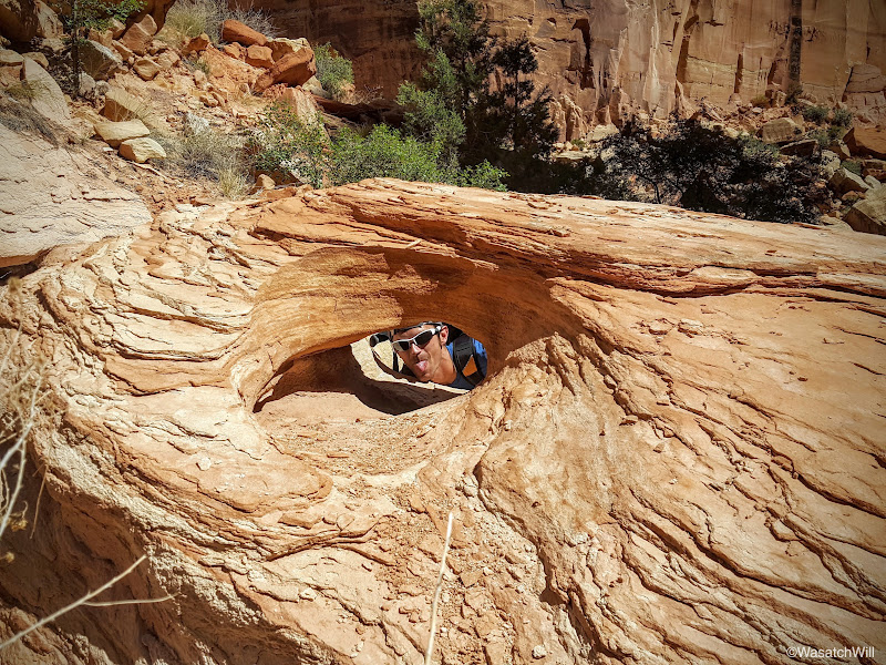
There was an interesting marble pattern when looking through from the other side.
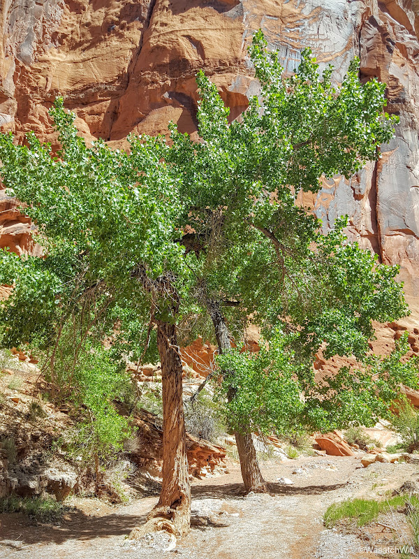
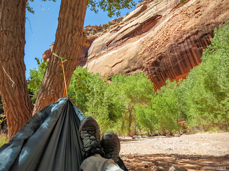
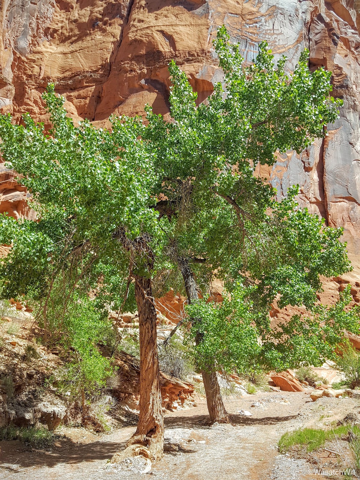
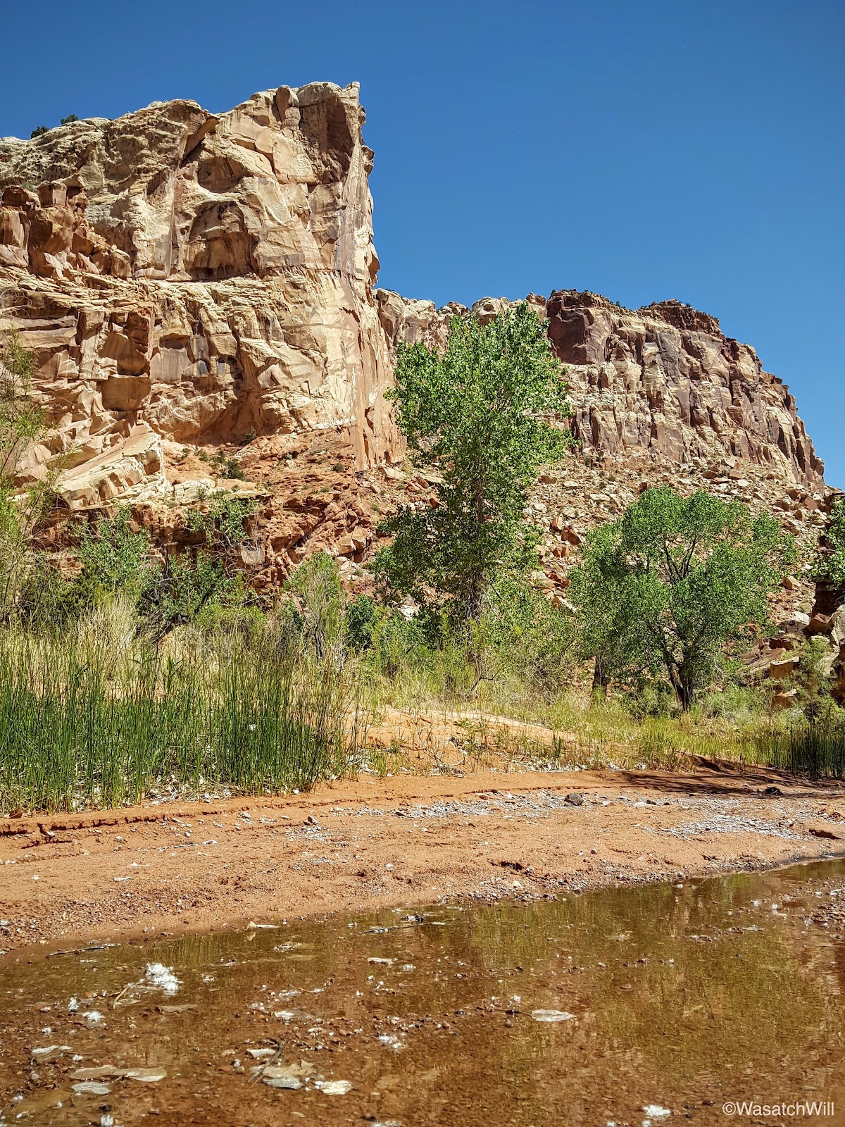
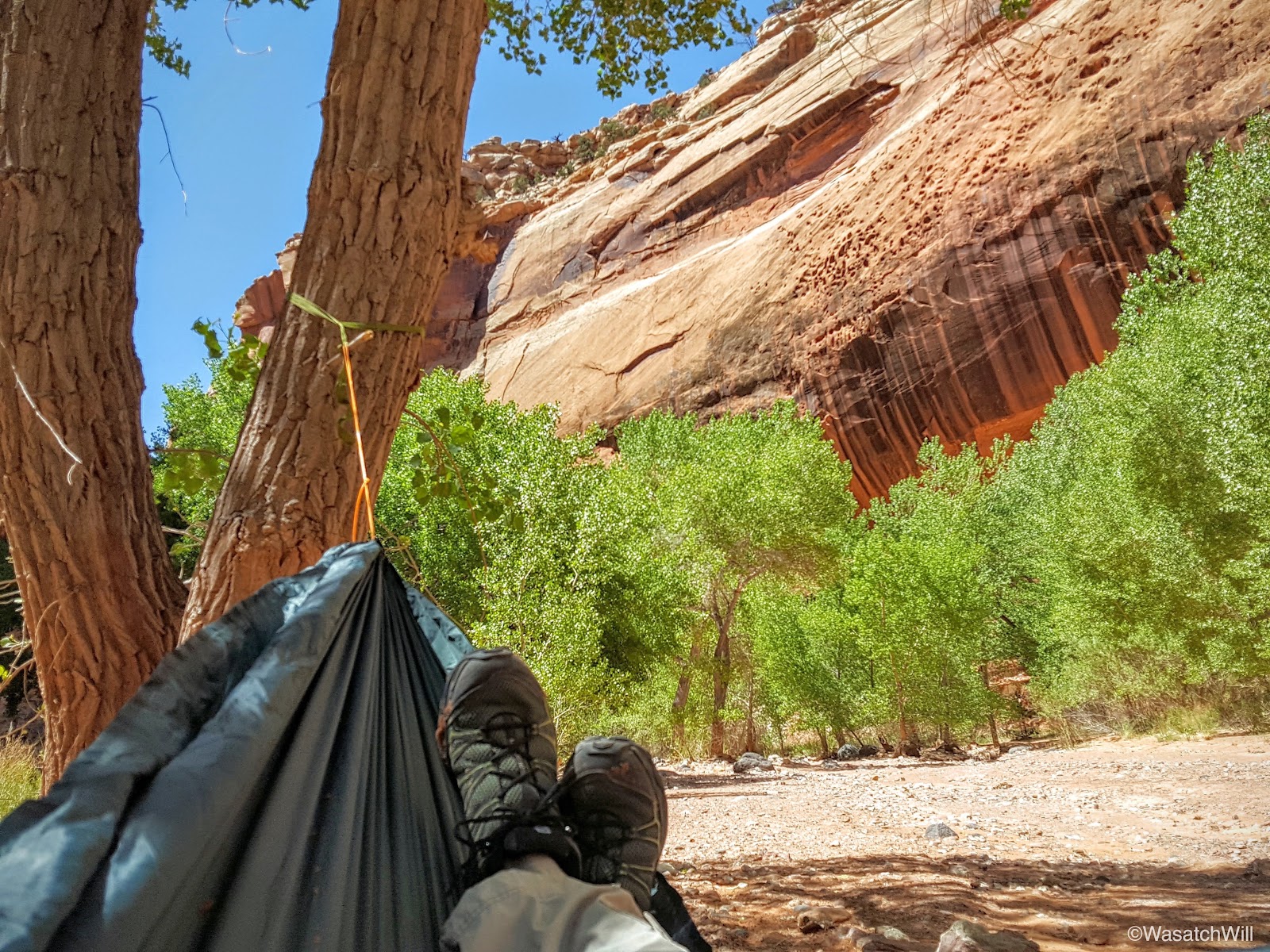
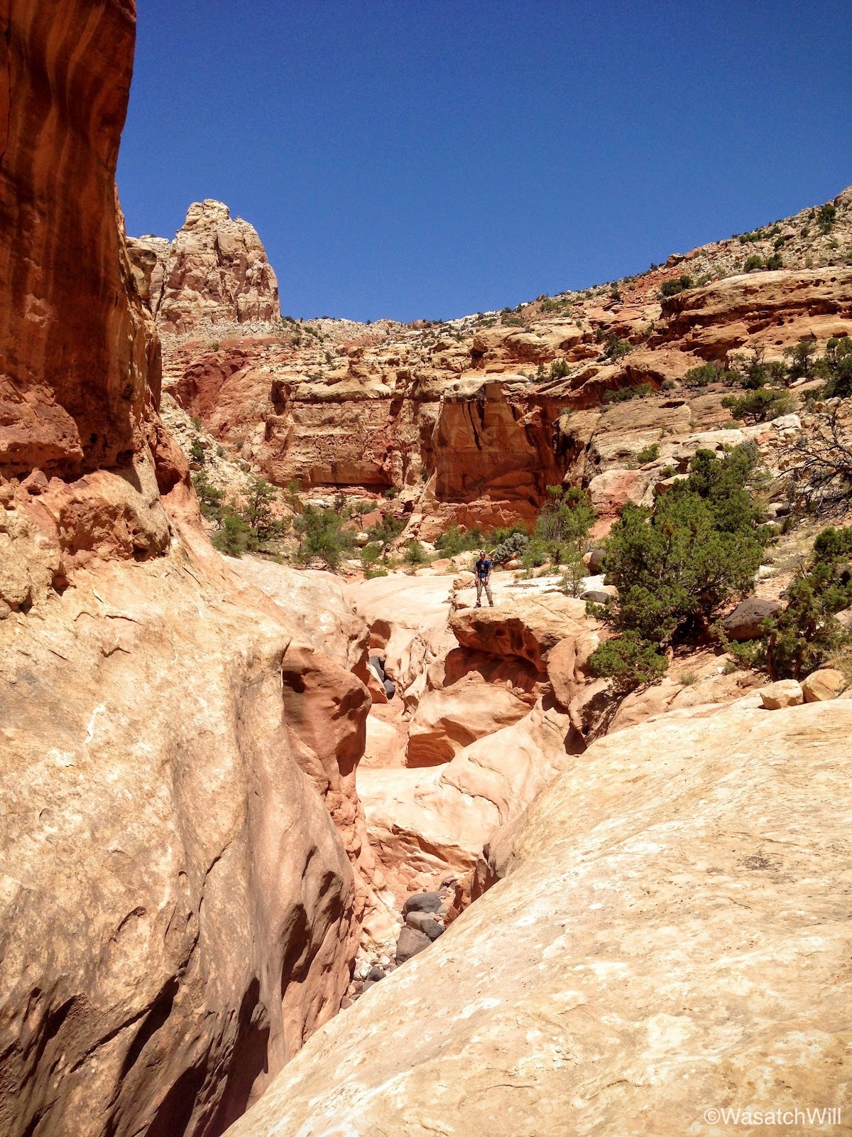
There are two trees that reside in the wash bottom and beckon for a hammock, but they're right in the middle of the wash that serves as the trail. They also signify that the junction with Spring Canyon is very near.

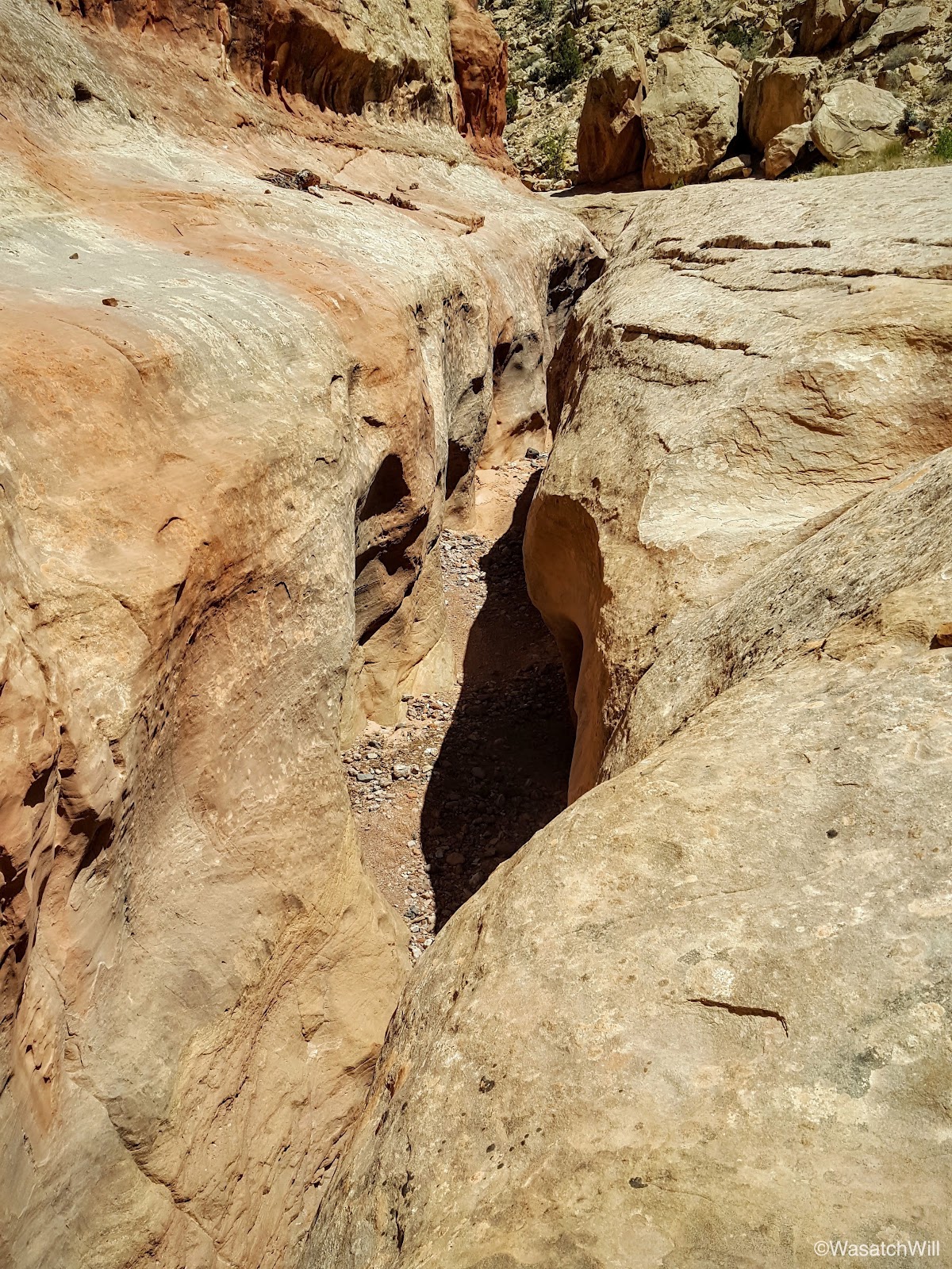
Right before the junction, I noticed another unique hole through a rocky face.
A step back and a wider look revealed a very humanoid profile.

I found it to be very fascinating. I could not have done any better at chiseling the rock than natural erosion did to carve a facial profile out of this rock. It reminded me of an Egyptian Pharoah.
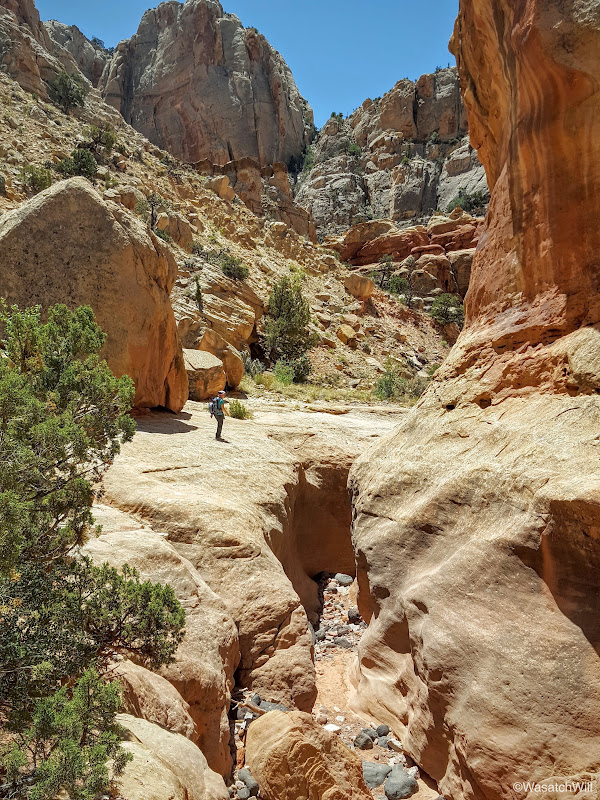
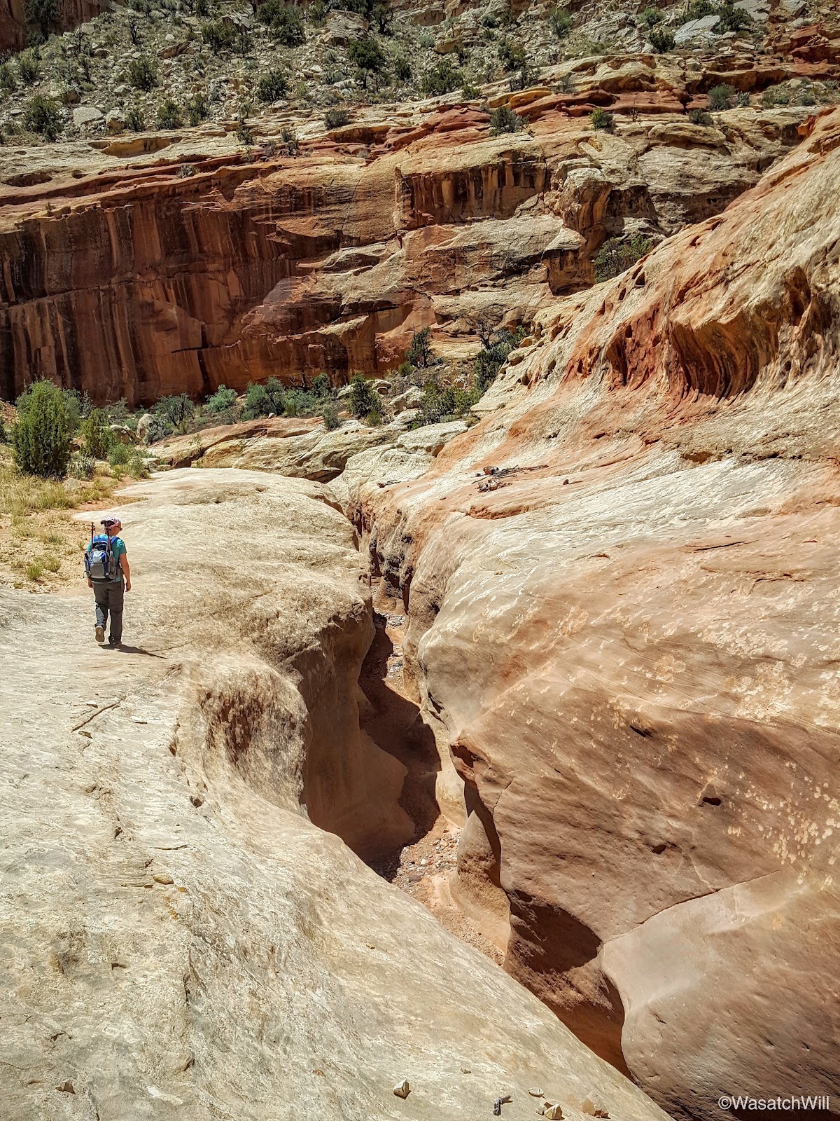
After turning another corner, the junction with Spring Canyon was now in sight.

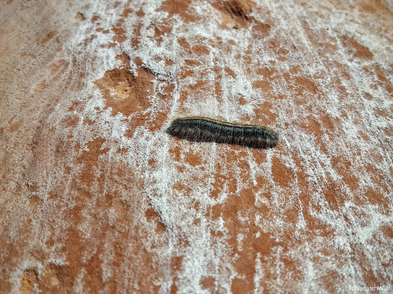
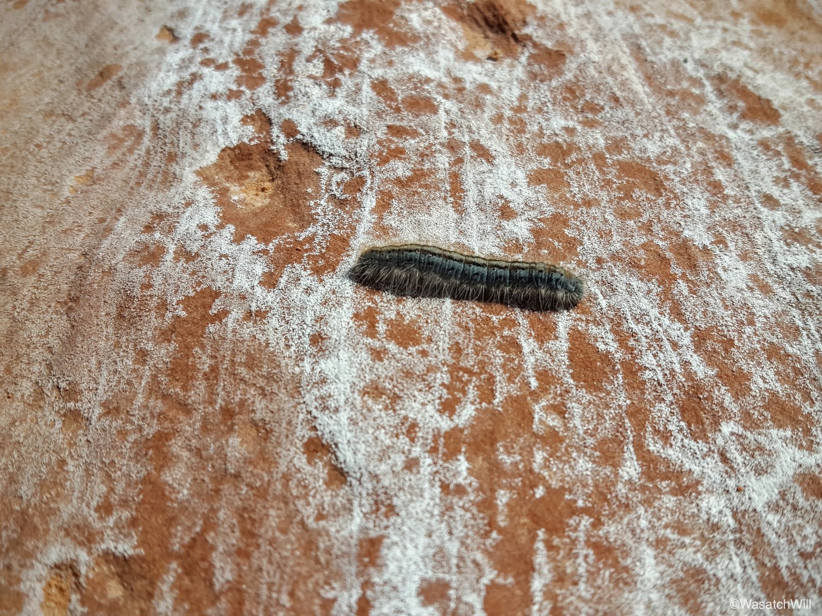
A few minutes later, we arrived at the junction. Most hikers will keep to the right and follow Lower Spring Canyon all the way out to the end. We'd be taking that route too, but I wanted to take Jess up into Upper Spring Canyon a little bit first. In doing so, we almost stepped on this little caterpillar cruising across our path.
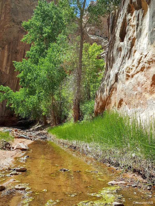
A little over a mile up from the junction is the spring for which the canyon gets its name. We did not go up quite that far, but we did make it to the short shallow stream that is fed by the spring.
There a nice grove of cottonwoods along the way that offer lots of nice shade. It was a prime place to take a break and have some lunch.

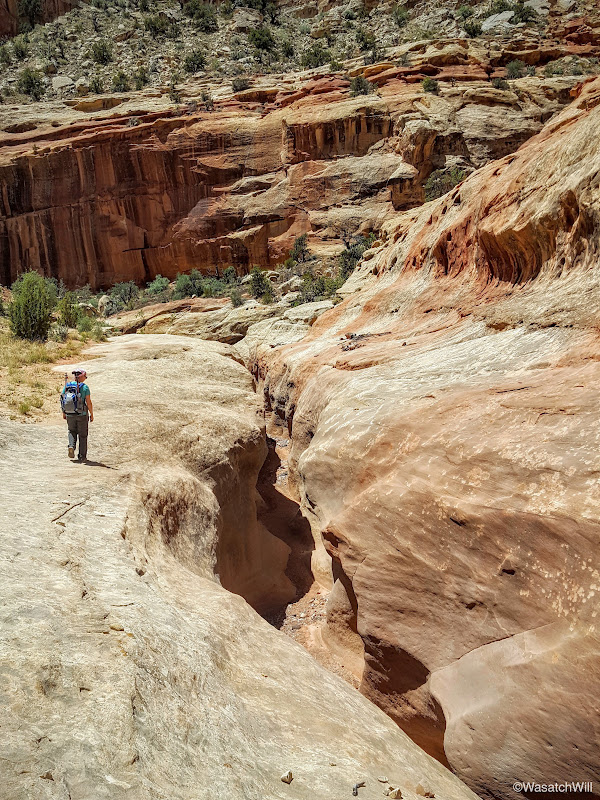
We didn't stay long. There was still much more to see down Lower Spring Canyon, so back down to the junction and on down into the lower canyon we went.
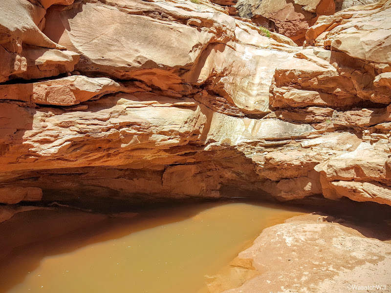
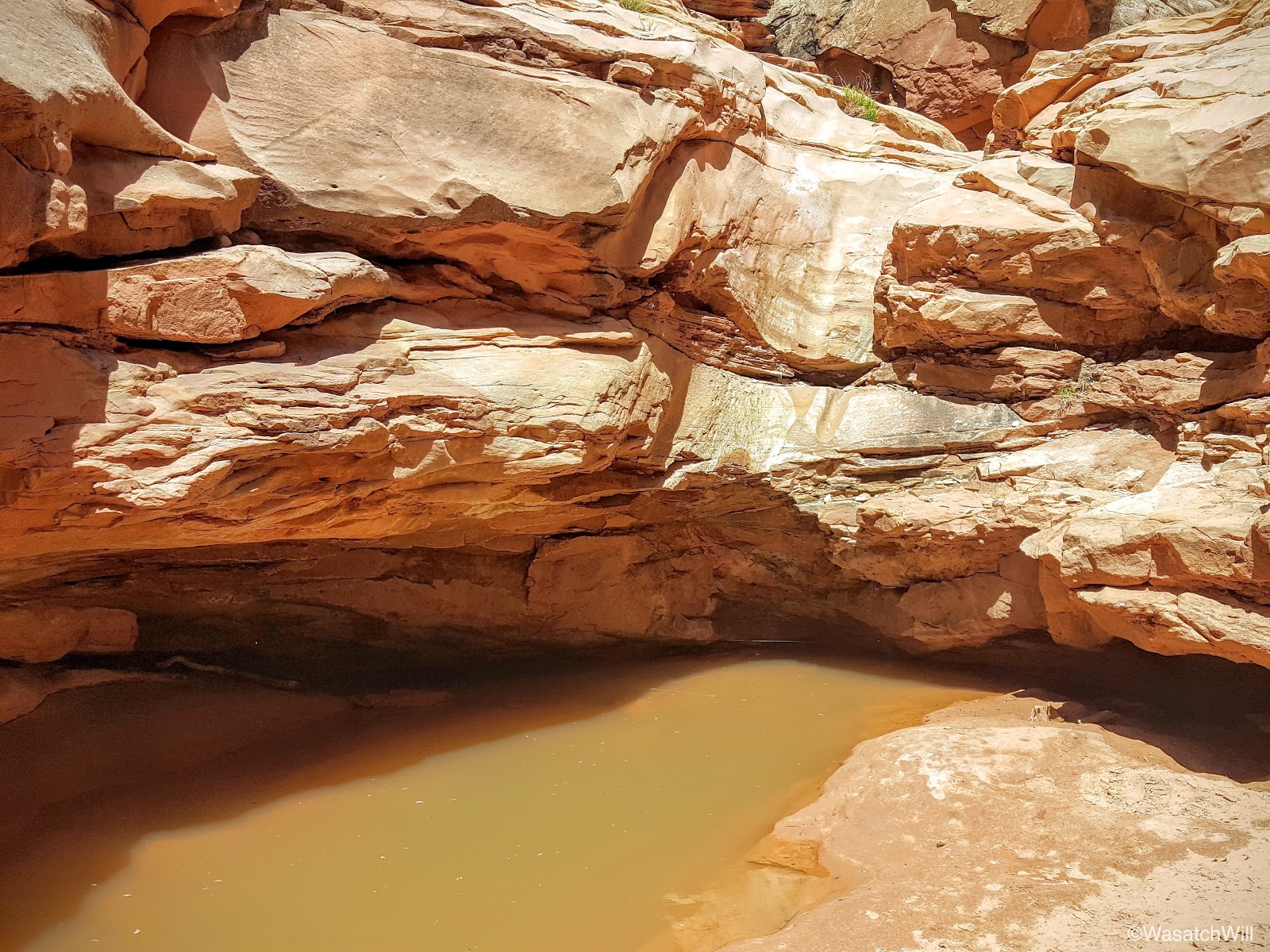
About a mile down from the junction, the wash descends into a narrow slot canyon. There are a few small pour-offs that often have pools of water sitting beneath them which pose quite an obstacle to those without ropes and some basic canyoneering skills to know how to use them.


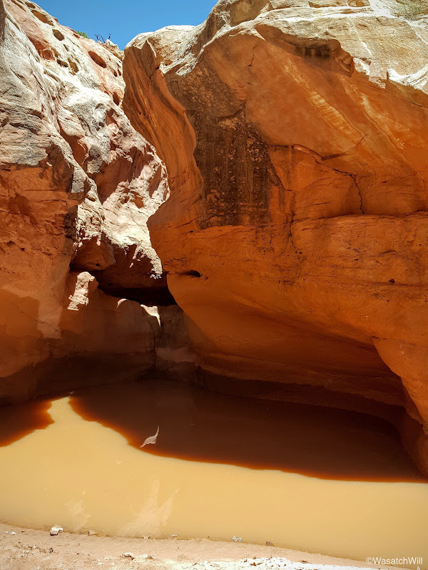
We took a moment to look down into the first or upper pour-off...
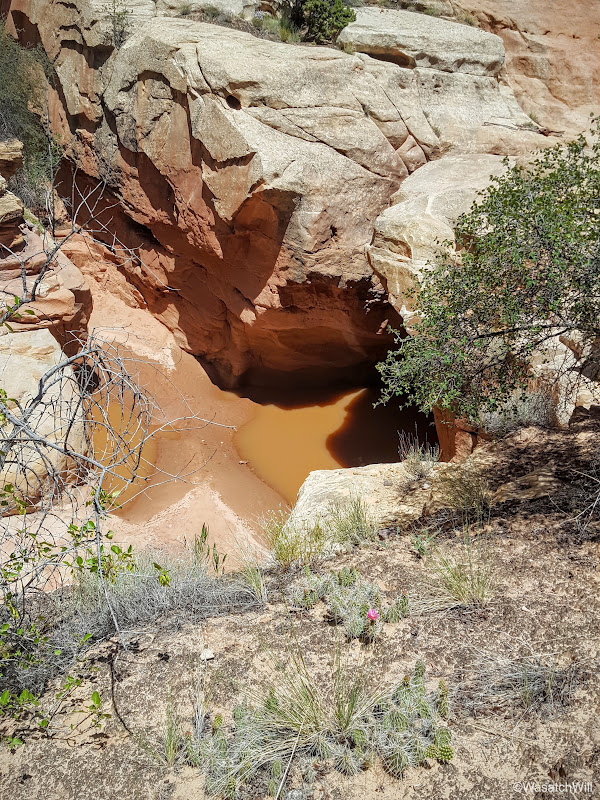
...and then on down to the second or lower pour-off.
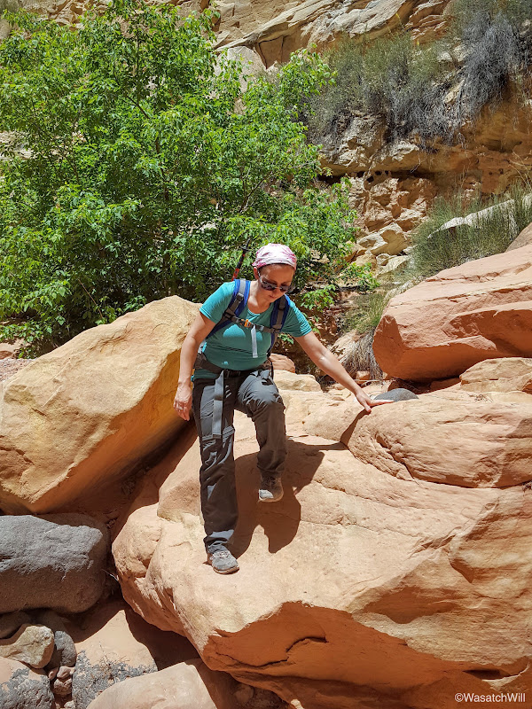
We neither had the ropes nor the skills, so we took the less adventurous bypass route along the left side of the canyon wall above the slot.
I say "less adventurous" because this route involves traversing along a short section of really exposed trail. One misstep, a slip, and a fall could end with almost certain death or a lifelong injury at best. There isn't a pool of water, mud, and soft sand to break a fall at the bottom of this high section as there is beneath the pour-offs that sit much closer to the canyon bottom.

The trail through this section gets as narrow as 5 to 6 inches in spots. You definitely want to keep your eyes on the trail when moving along this part.
This is the drop you face when looking down from the trail in the picture just above. What isn't as clear in this picture below is that there's a vertical cliff that's probably about 40 feet high waiting for you at the bottom of the slide.
This is looking back up canyon from the bypass trail. It gives you a good sense of how high up from the canyon floor the bypass trail takes you.

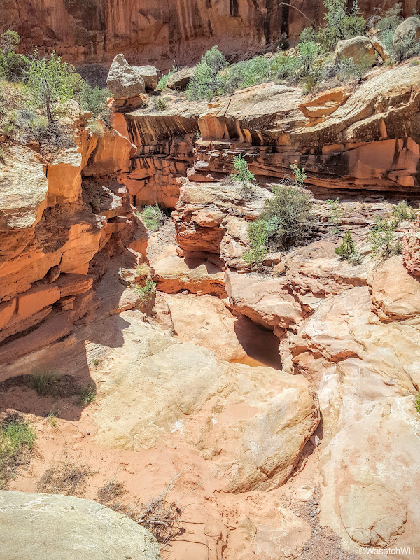
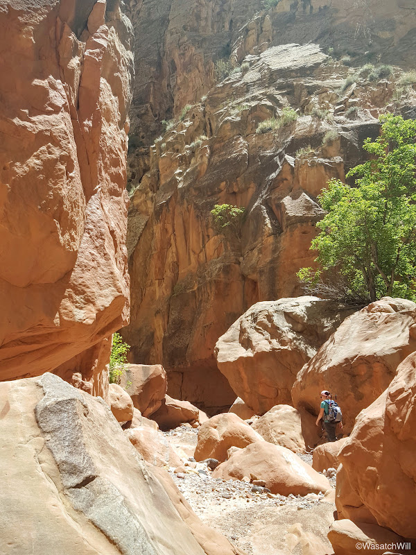
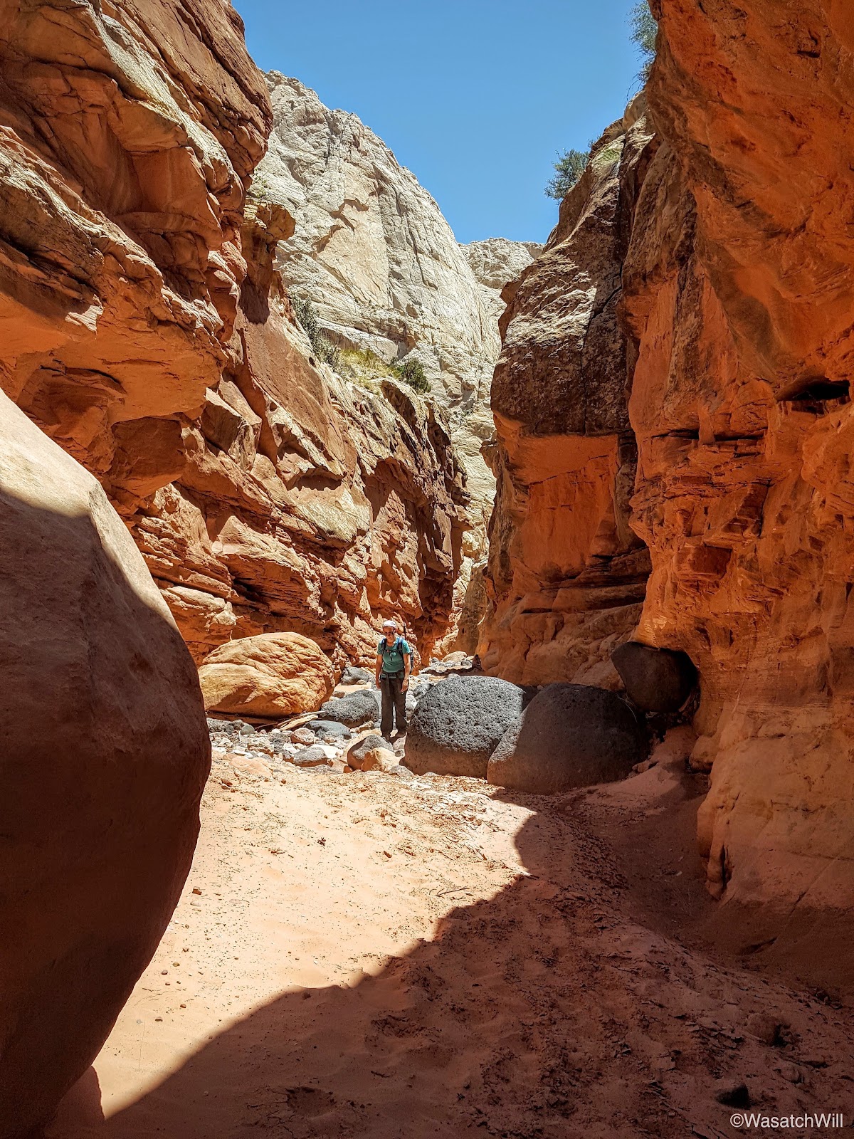
The next quarter mile or so makes a quick but reasonably gradual descent back down to the canyon bottom. Here, we opted to explore up into the slot.

As we wandered up the slot, there were two young women resting in the shadow of the narrows. They were the only people we'd encounter on the whole hike since entering Chimney Canyon...and that's two more people than I encountered when I hiked through it solo last year. In other words, this is a rare place inside of a national park that's relatively easy to access where true solitude can be experienced. With that solitude, however, comes the risk that if something bad were to happen in the middle sections, you'd be a few miles away either way from any aid and you may not see another person come by for a day or two, or much longer, depending on the season.
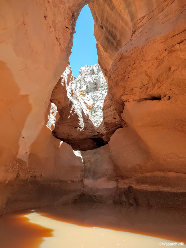
We soon reached the lower pour-off where we rested in the shade along a low ledge on the side.
I couldn't resist climbing up it to go check out the upper pour-off above. Jess didn't share that same urge and chose to just sit back and relax a bit more.
The upper pour-off is just a stone's throw from the top of the lower.
Back down from the pour-offs and well rested, we moved on back down through the slot to finish off the lower canyon.


The canyon widens up briefly before narrowing back up again for this picturesque section. Unfortunately the sun was straight overhead so the lighting wasn't ideal through here.

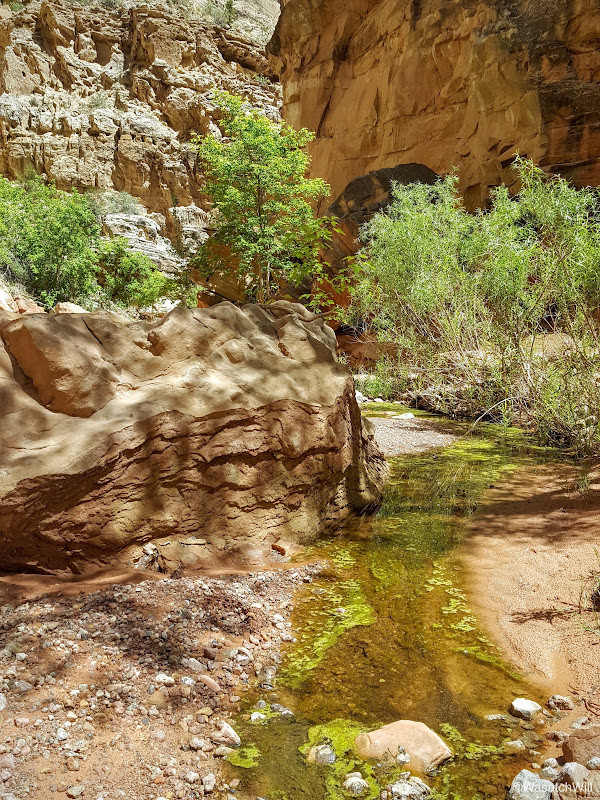
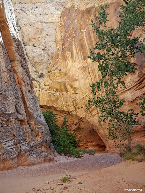
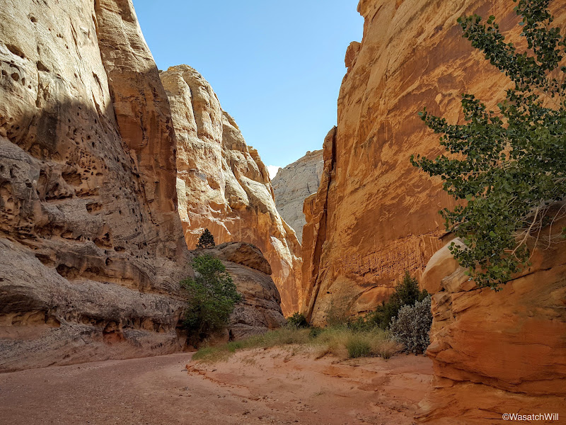
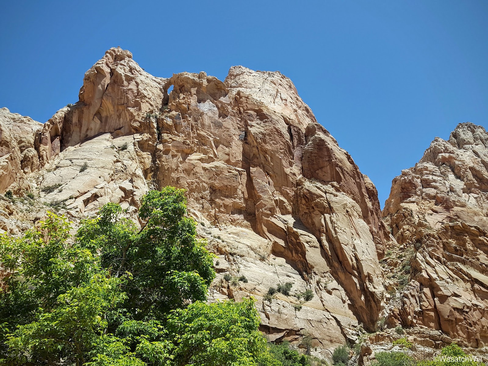
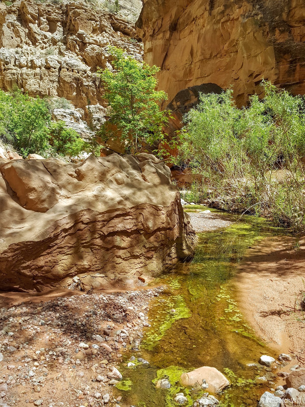
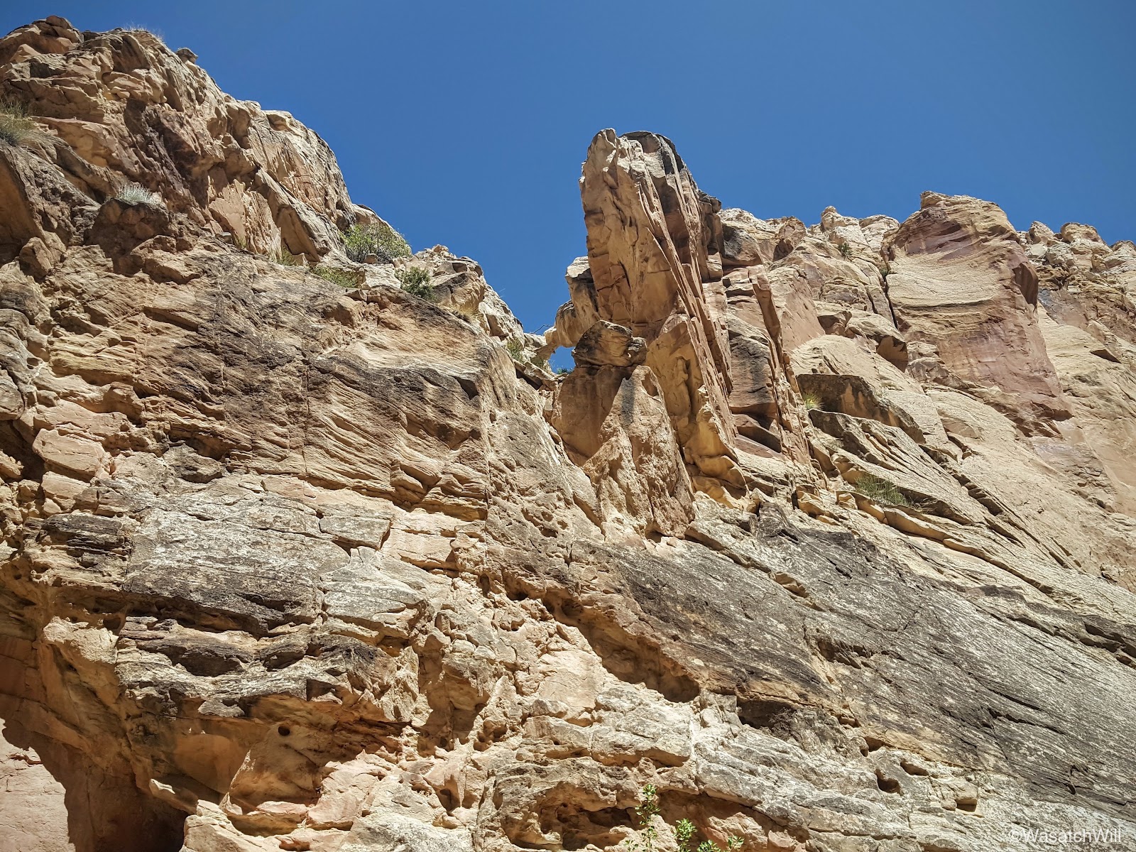
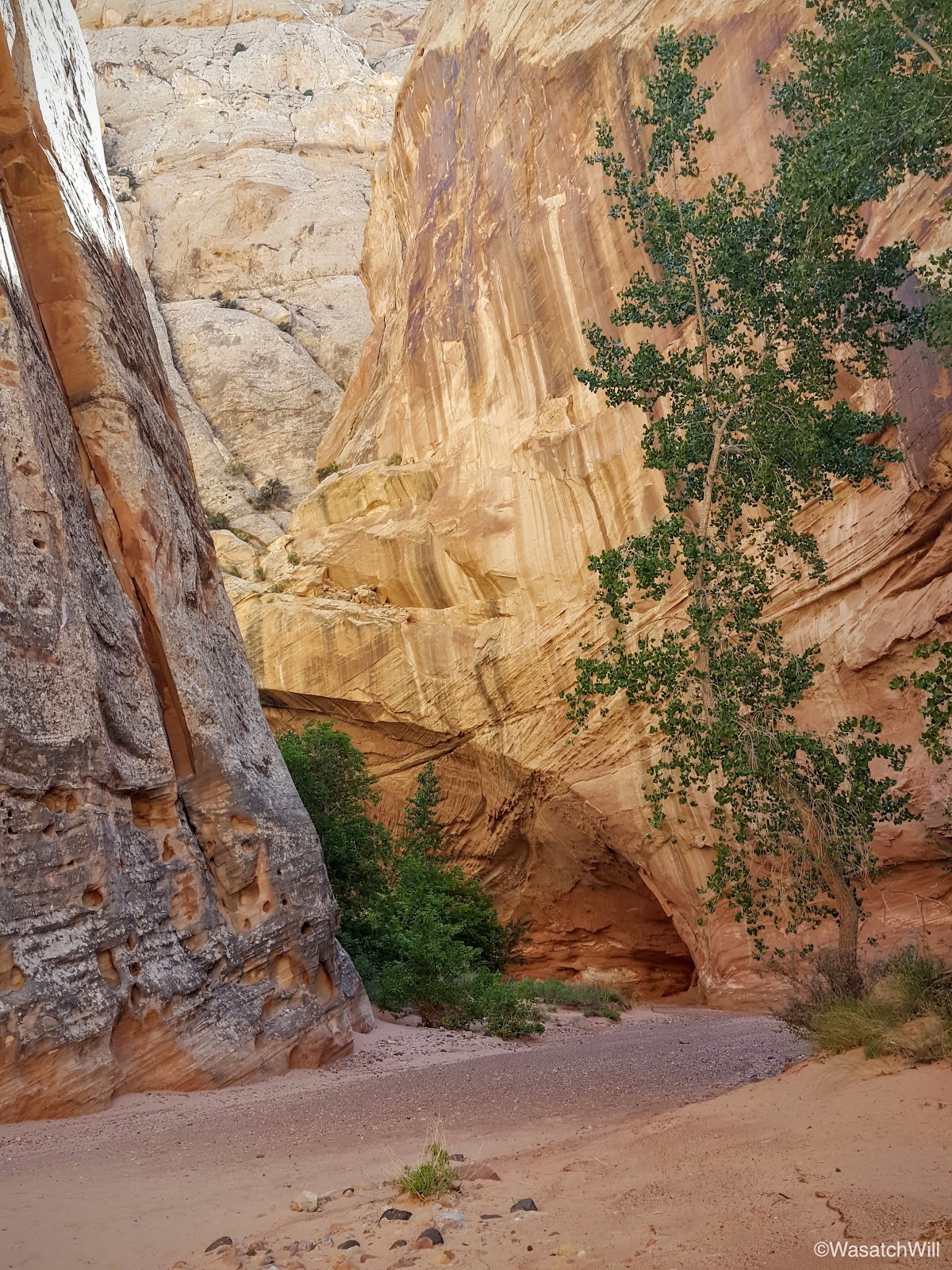
After the canyon starts to widen back up again, an arch high up on the left becomes visible.

If you also keep your eyes open along the bottom of the canyon walls, you can find cavities in the rock walls large enough to take shelter from the mid-day sun. We did just that.

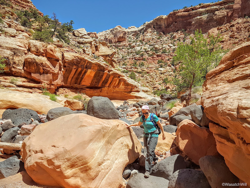
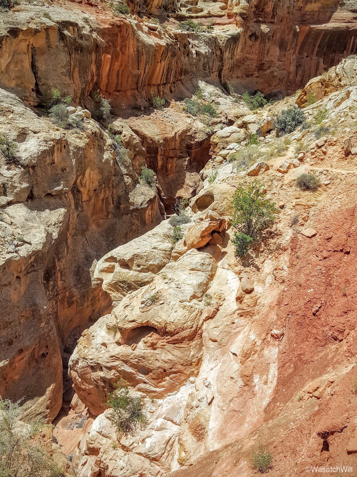
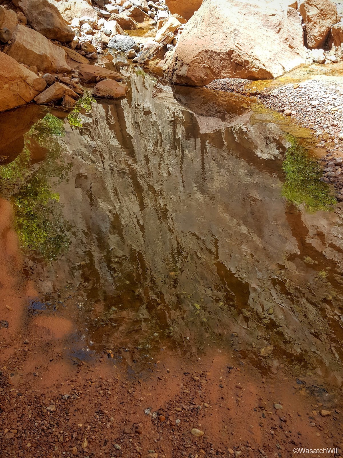
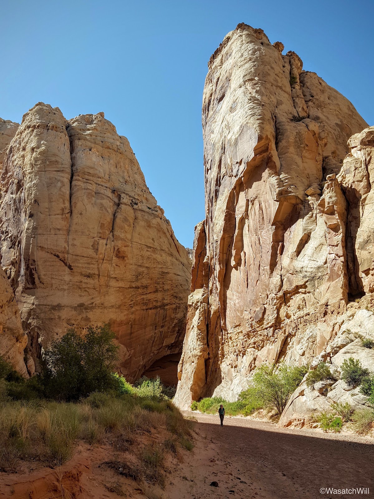
The canyon continued to twist and turn, revealing both new surprises and familiar sights around every bend.

Eventually we arrived at the site I had camped at last year.


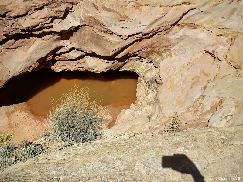
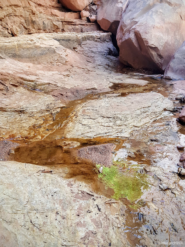
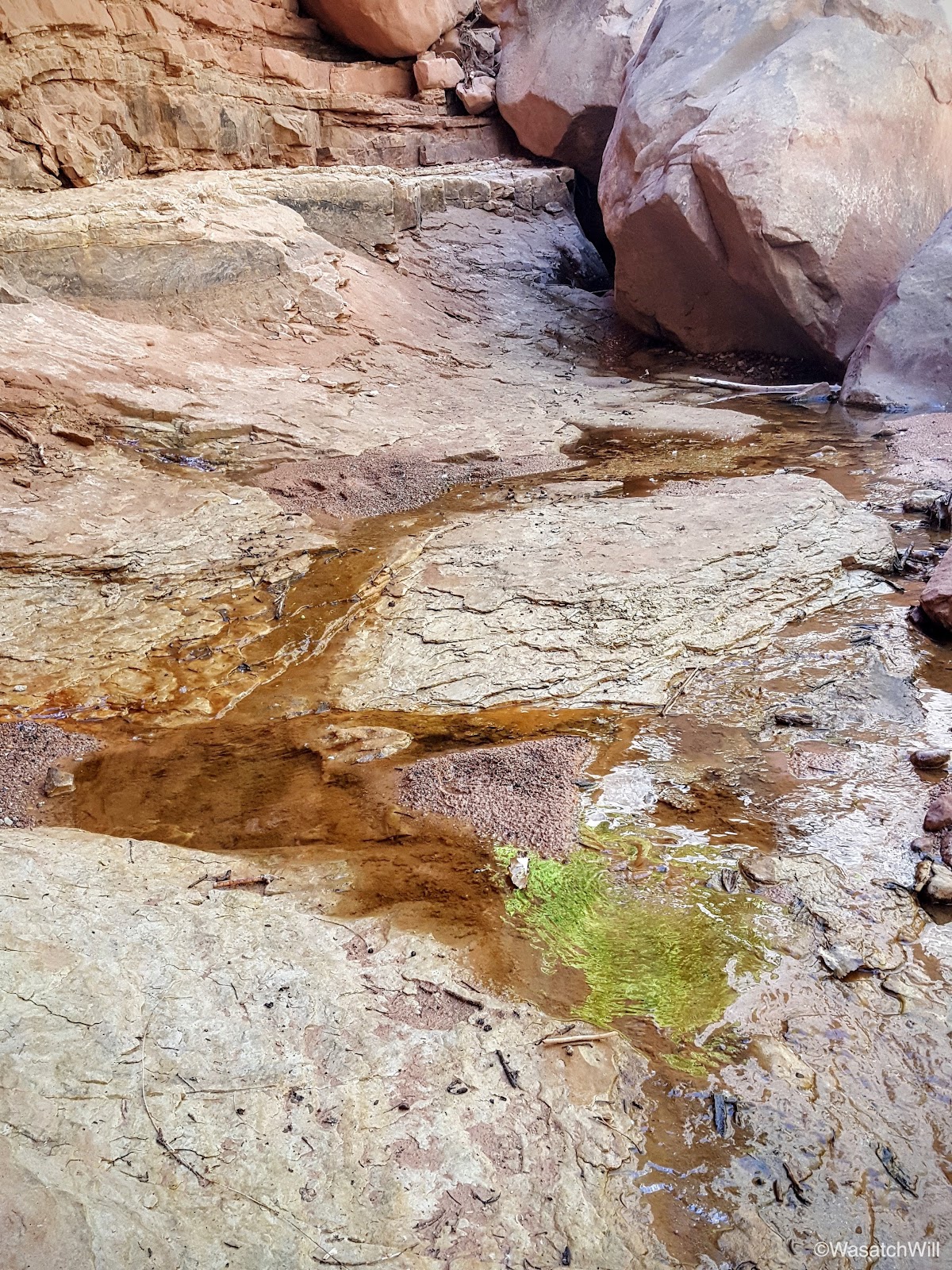
Once again, water was abundant, but this time, the pools were full of tadpoles.

Also nearby was a wing fragment of what must have been a beautiful butterfly.

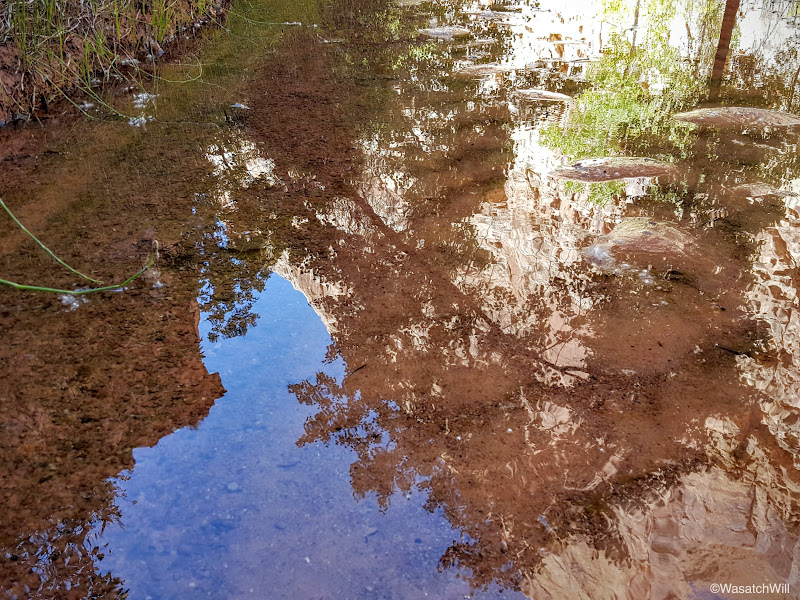
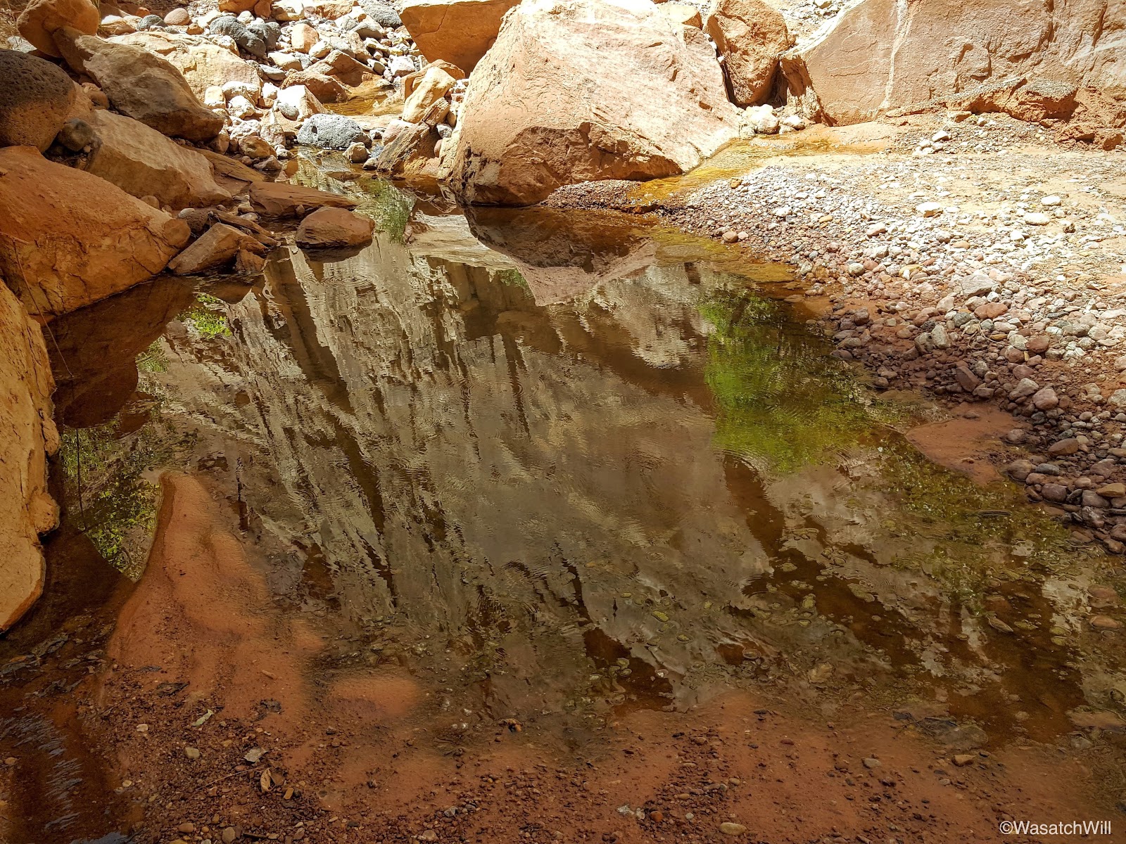
After resting up once more, we continued on, negotiating our way around and through the meandering water before it would ultimately disappear again further on down the canyon.

Sometimes you just have to be impressed and admire where vegetation can take root, especially in a desert.

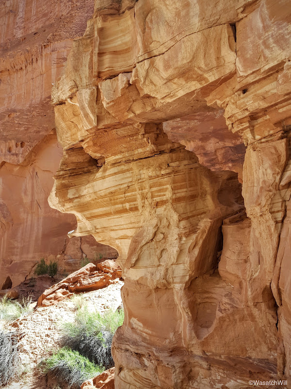
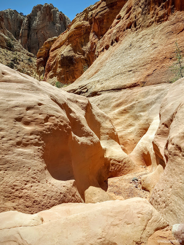
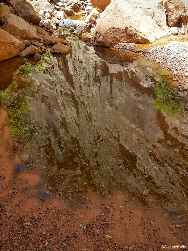
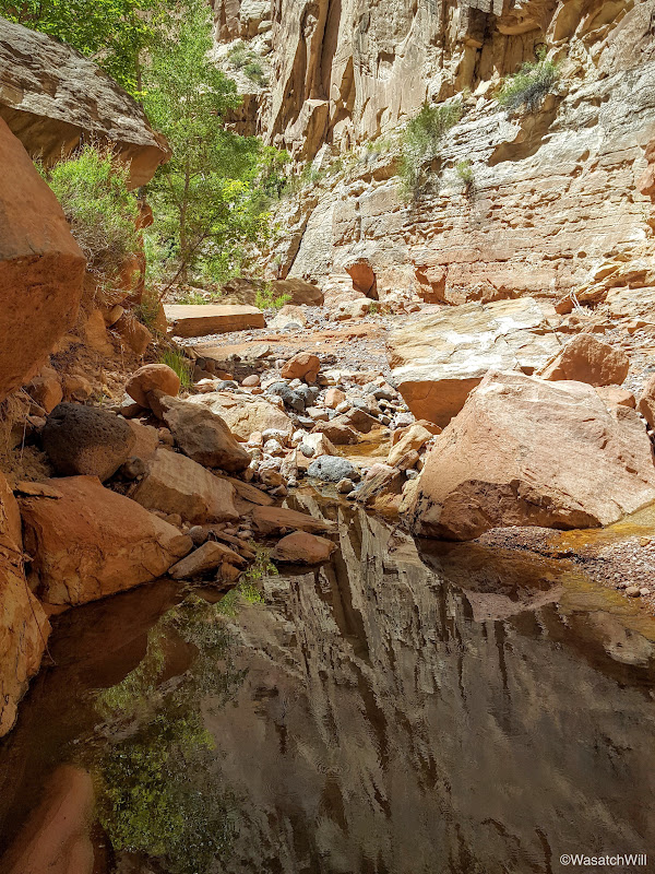
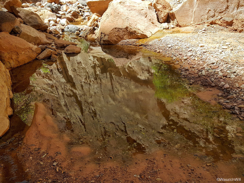
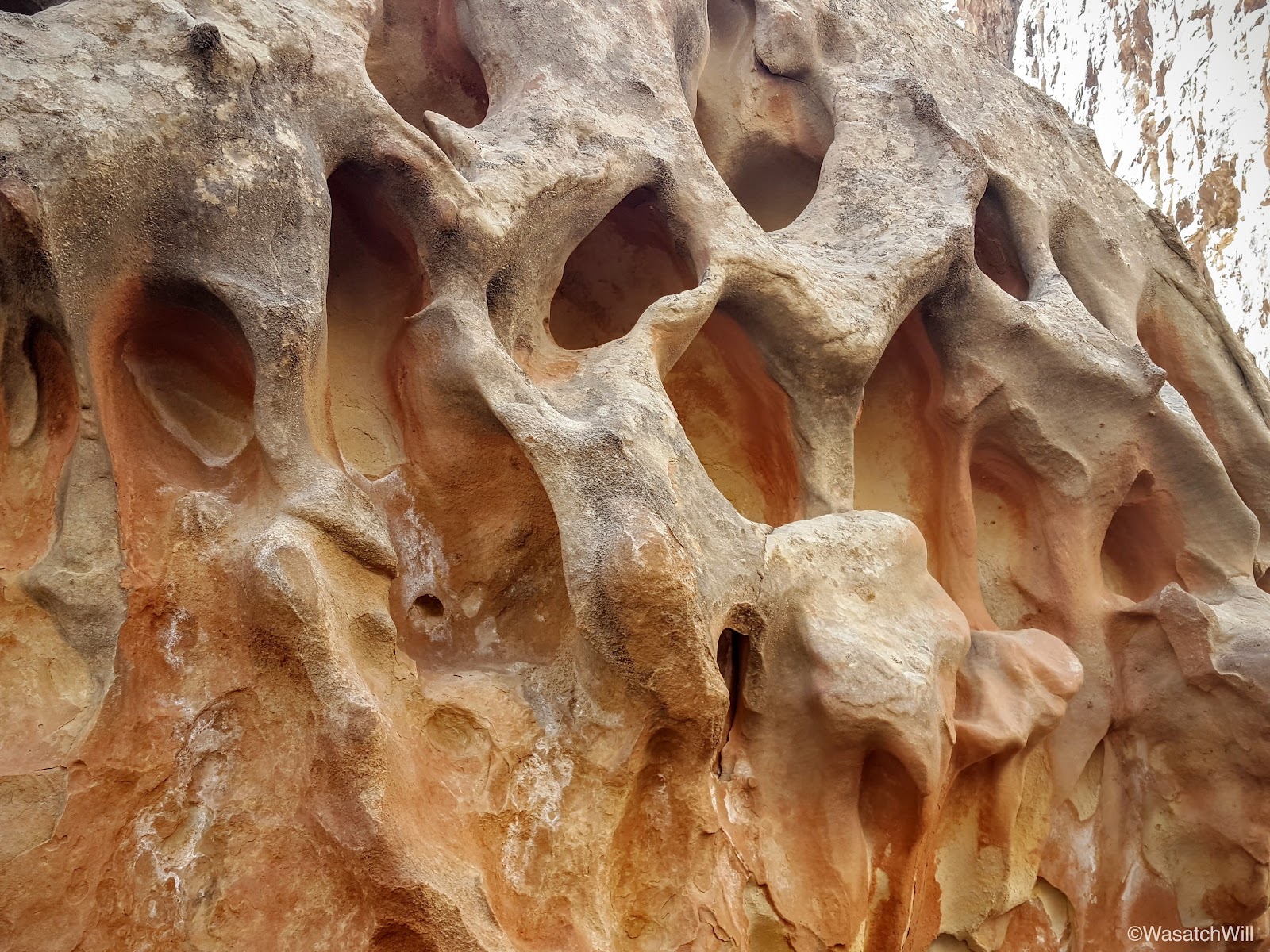
The geological features and textures never ceased to astound us on both the big and small scale.

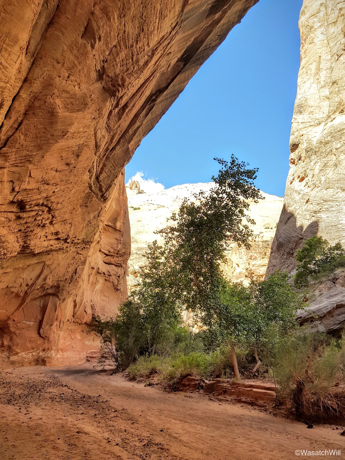
Moving on, we discovered another little arch high above.

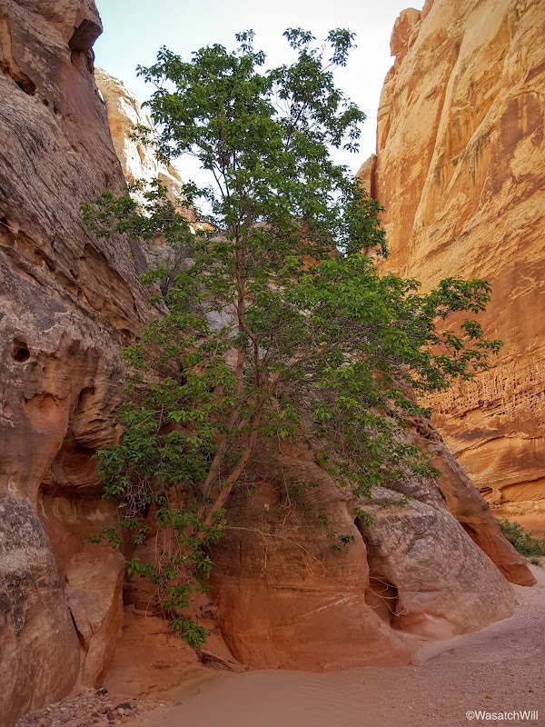
Taking moments at times to pause and look behind revealed some nice scenes as well. One such moment presented a view of what I'm now calling "The Tree of Life".
I'll say it again. The contours and cavities often found along southwestern desert canyon walls is nothing short of amazing.
Another cavity in the rock presented an opportunity to get a little creative with the camera.
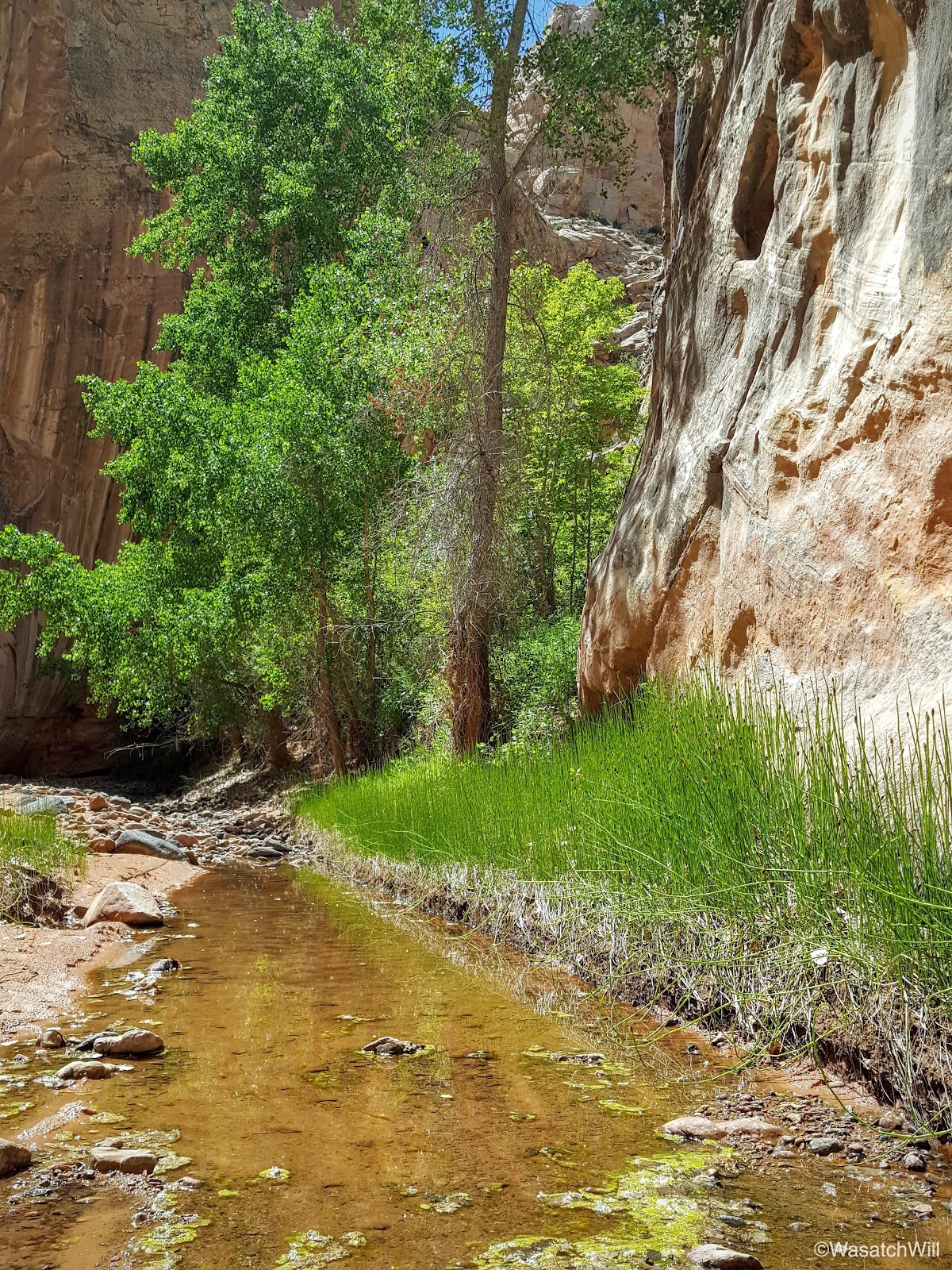
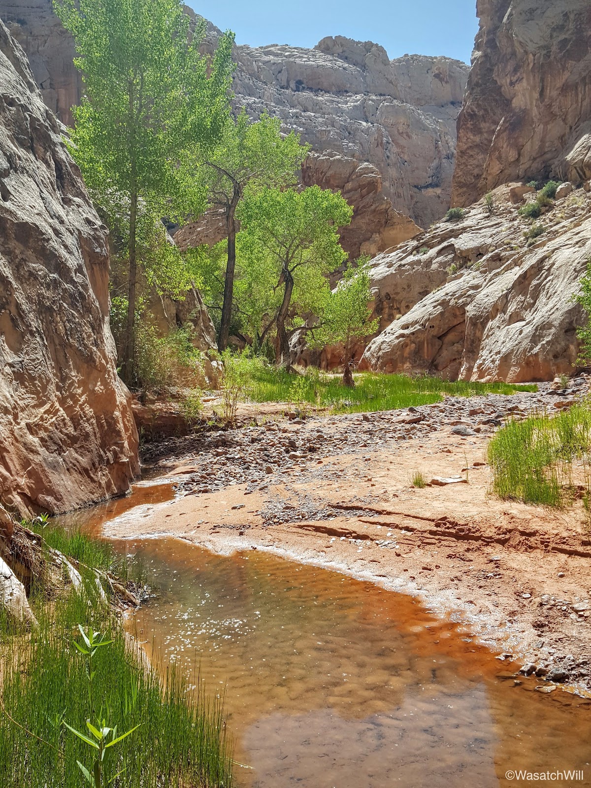
I'll never tire of the contrast between pockets of green against the red rock. It's a bonus when there is a water feature that cuts through it.


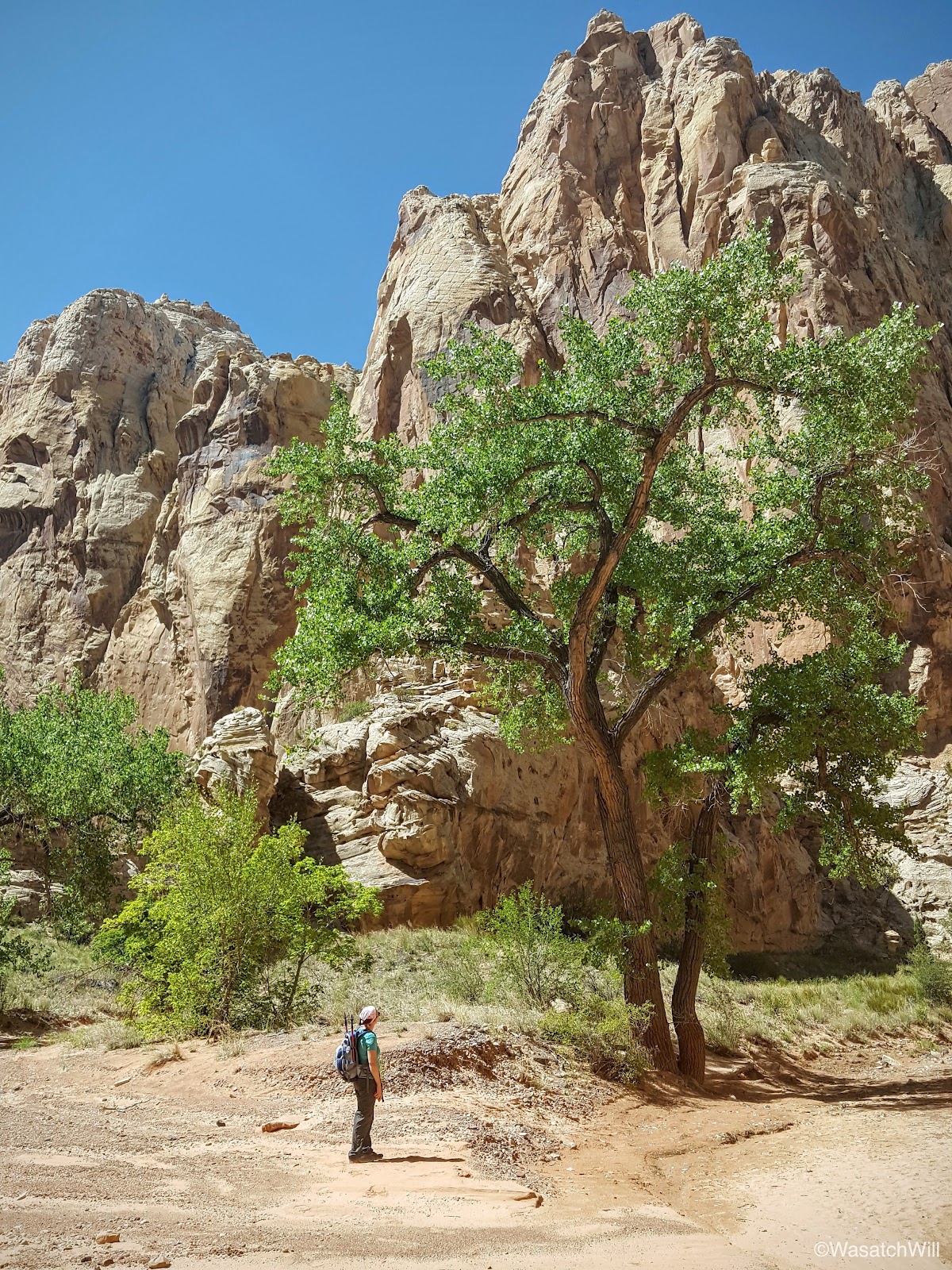
Large and tall cottonwoods continued to dot the canyon.
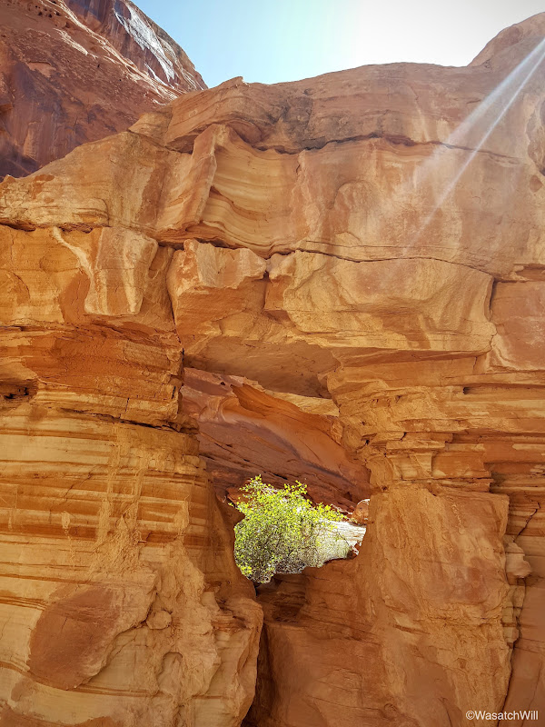
Yet another hole through the rock.

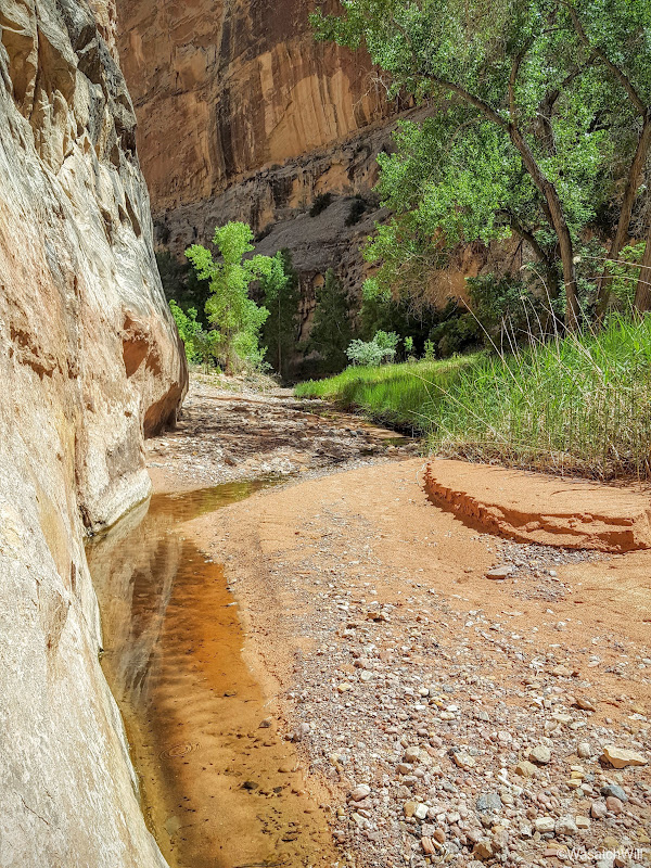
Eventually it was time to say farewell to the water we had been following as it would soon disappear into the earth.
After that it remained a dry wash the rest of the way up until the end.

At one point the wash became quite sandy.

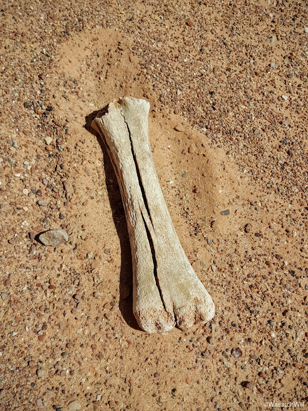
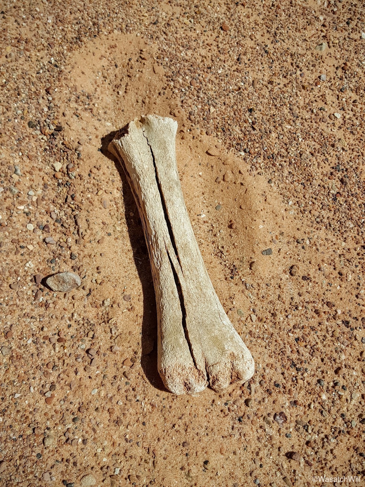
There were reminders that is environment can be unforgiving.
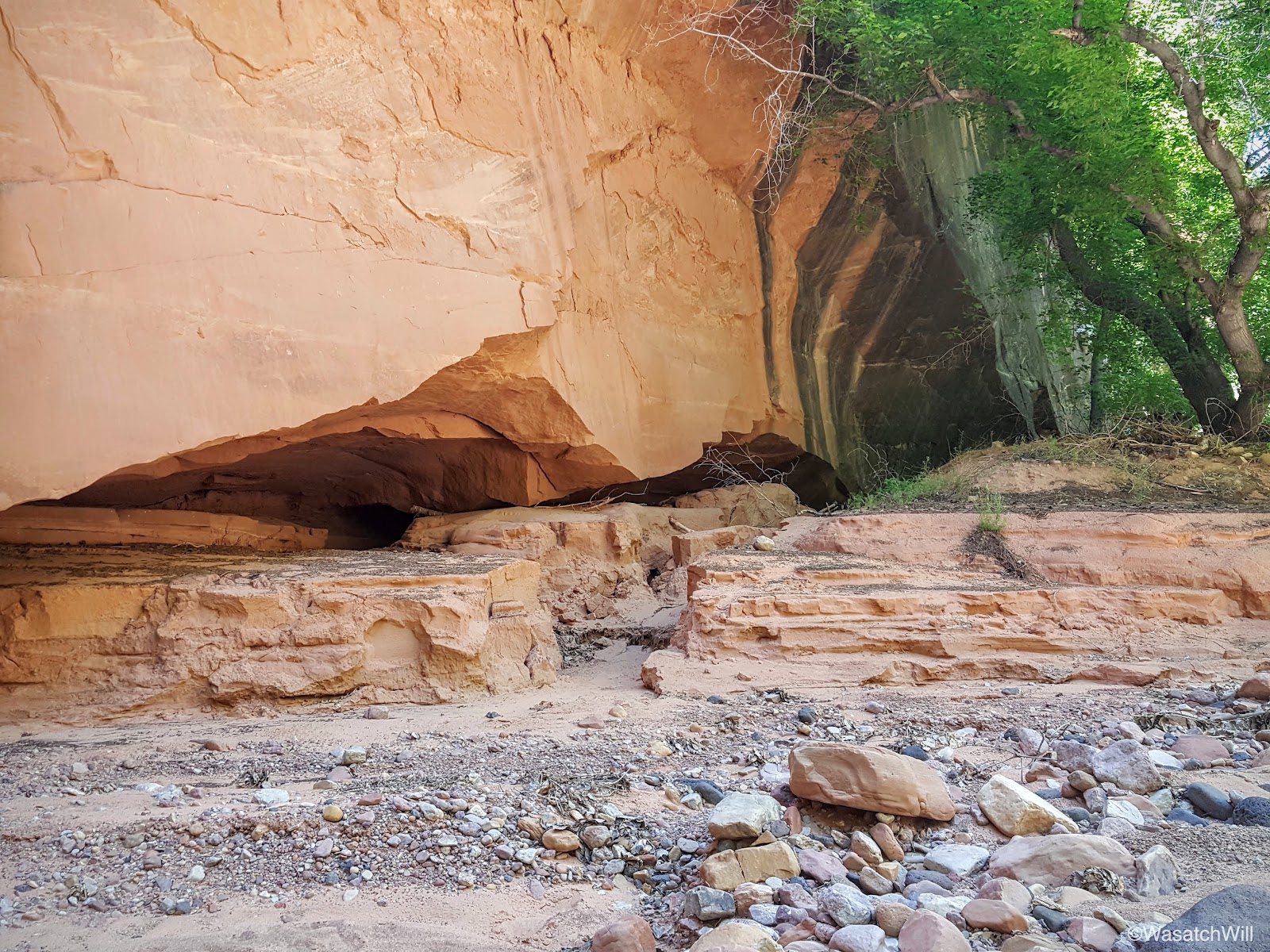
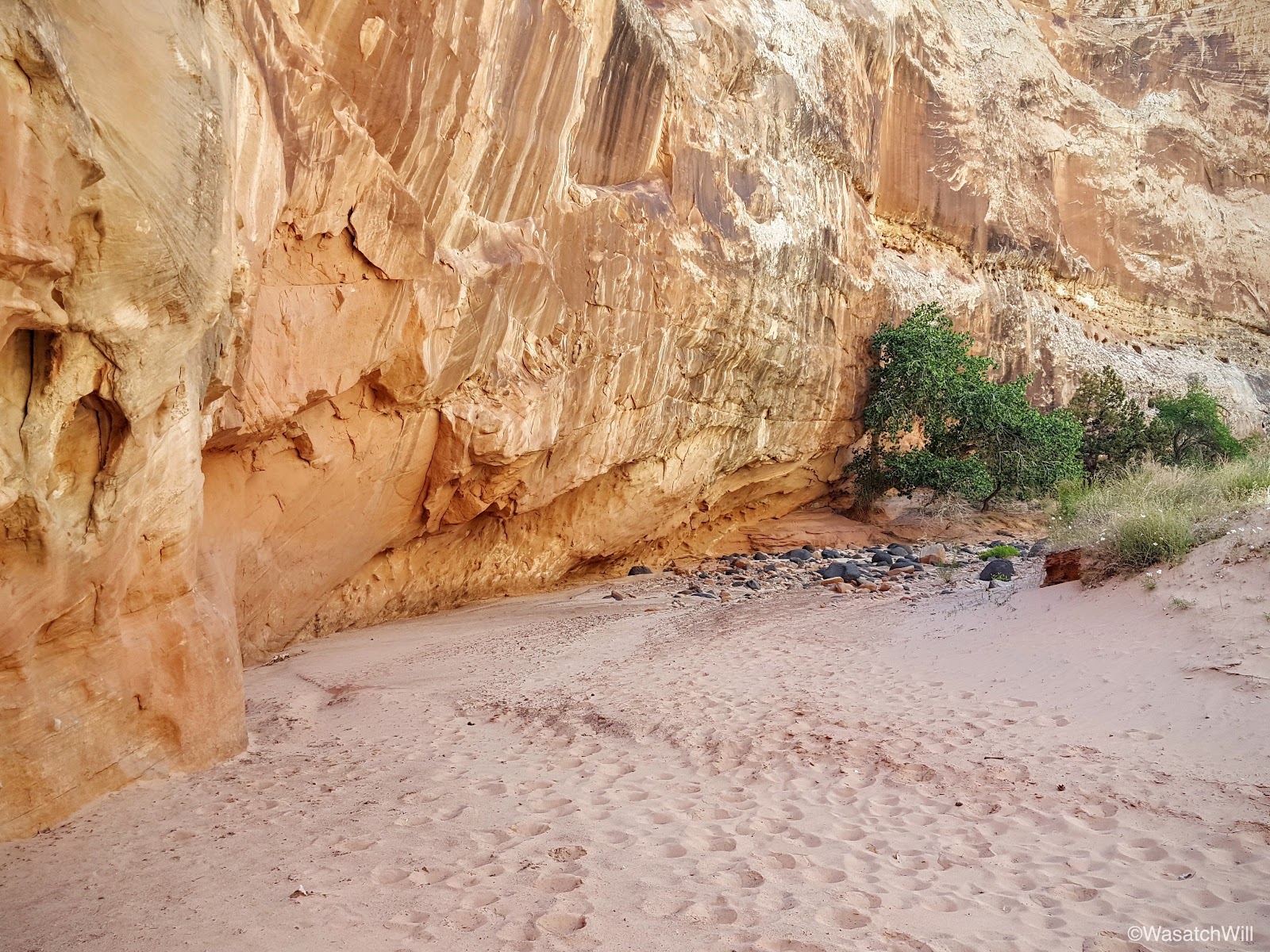
Near the end of the canyon, it narrows up one last time and features a fairly large alcove.

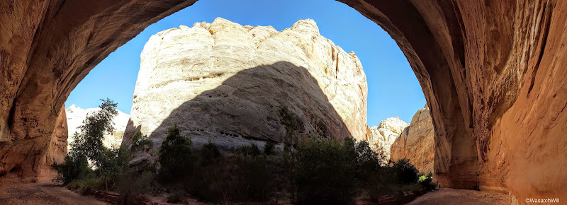
Only a few more bends before it would be more obvious we were nearing the end.
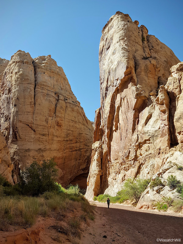
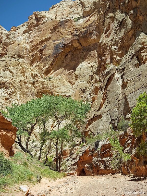
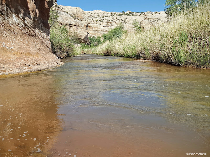
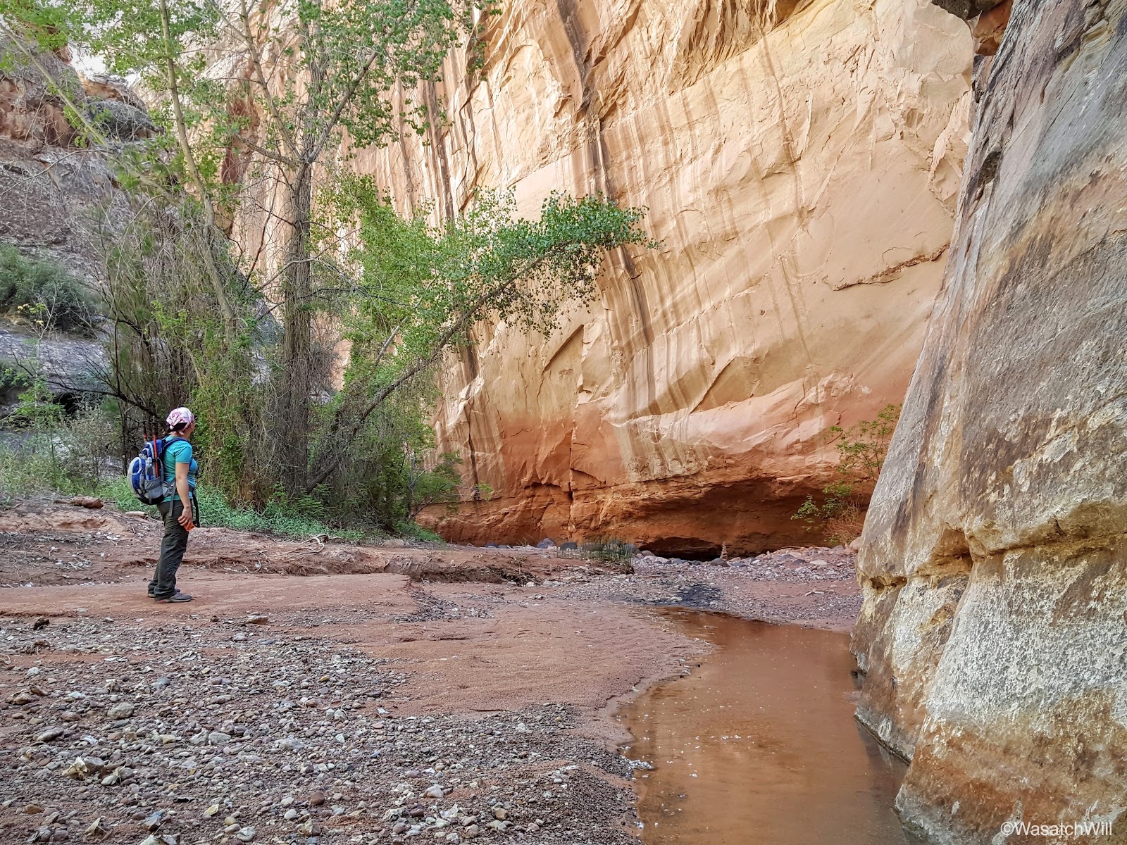
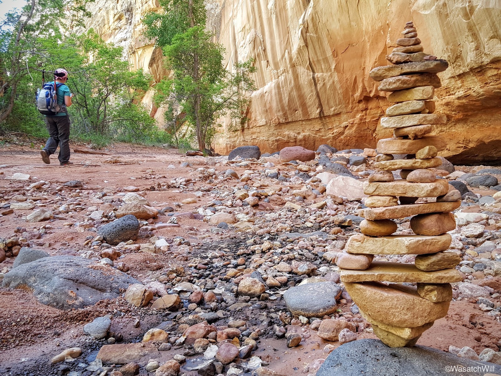
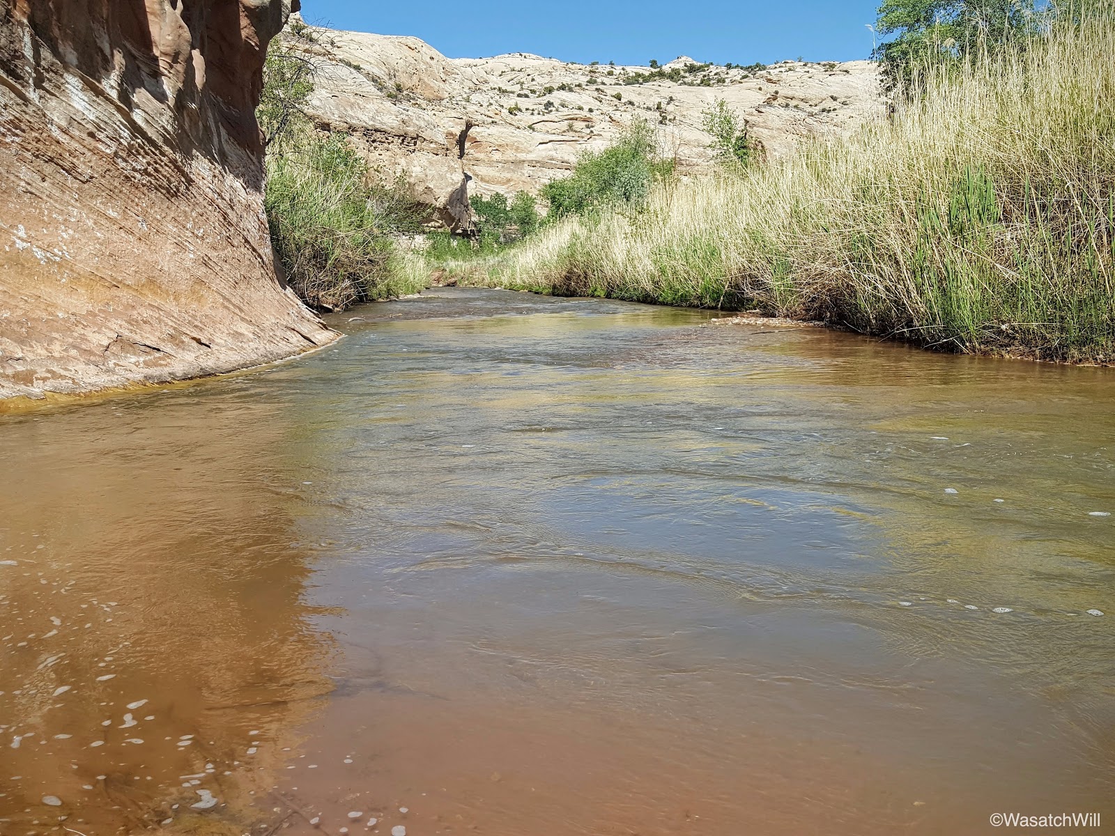
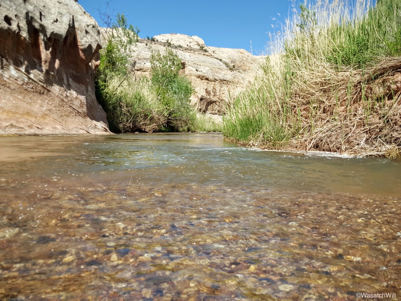
Once out of that final stretch of narrows, the canyon opened up for the final time and transformed into another thick of cottonwoods. As we weaved through the final thick of cottonwoods near the mouth of the canyon, we could hear the cars cruising along the highway. Once through there, there was a bit more water that appeared in the wash and signaled the Fremont River was just ahead about another hundred yards.
It was a hot day and the last couple of miles through the end of the canyon was considerably hot. That made standing on the banks of the Fremont all the more joyous. Still flowing with some spring runoff, its water was running nice and cold.


All we had left to do to reach our car was to ford the river and walk up the road another one or two hundred yards.
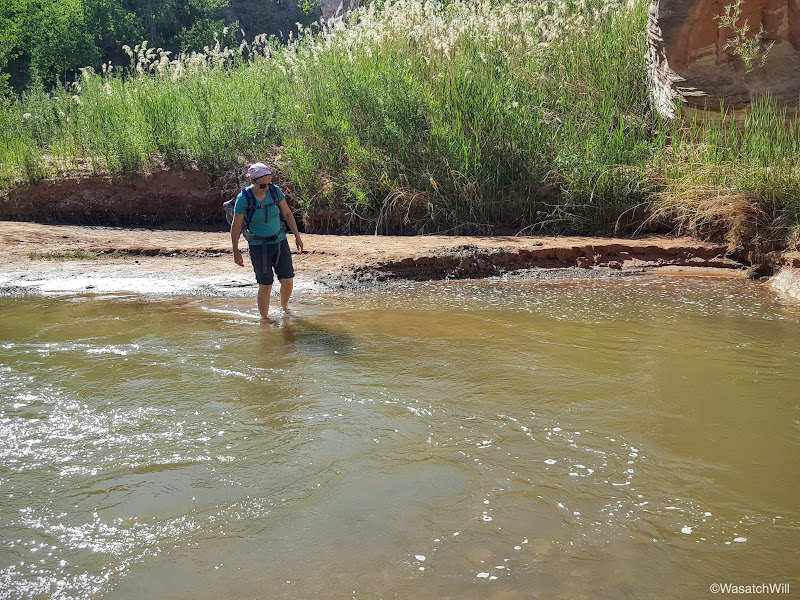
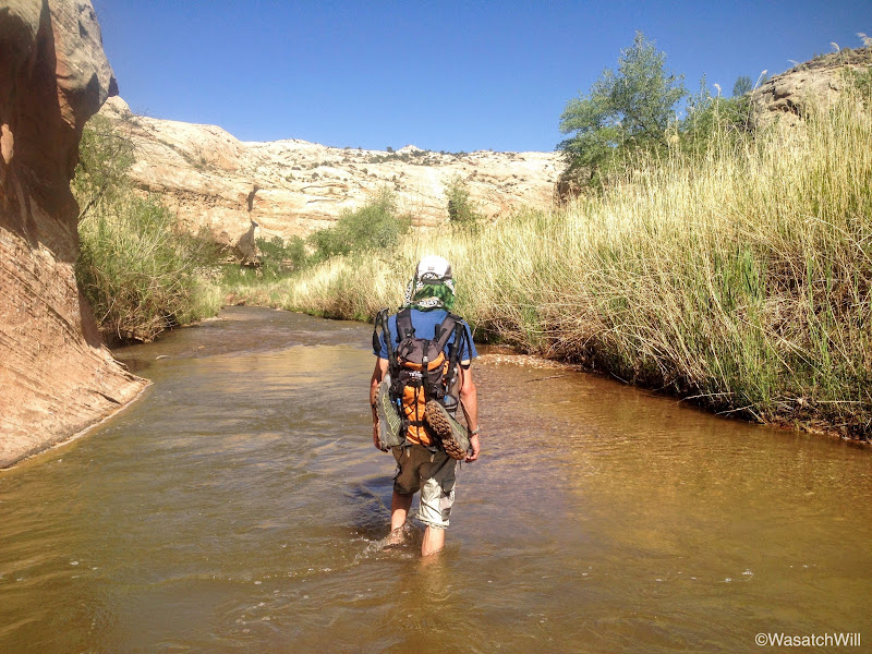
Having to cross the river made for a perfect grand finale to the hike on such a hot day.

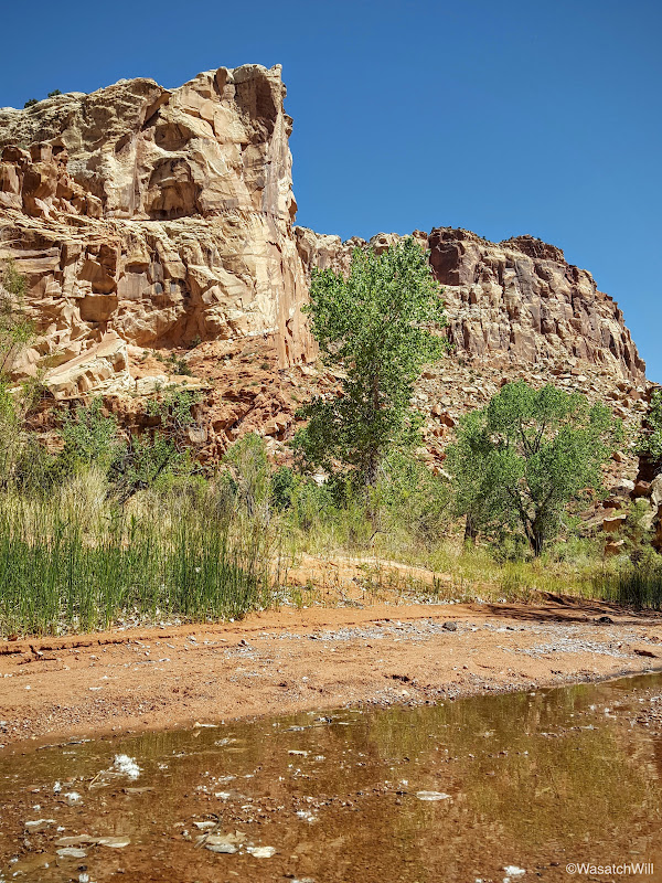
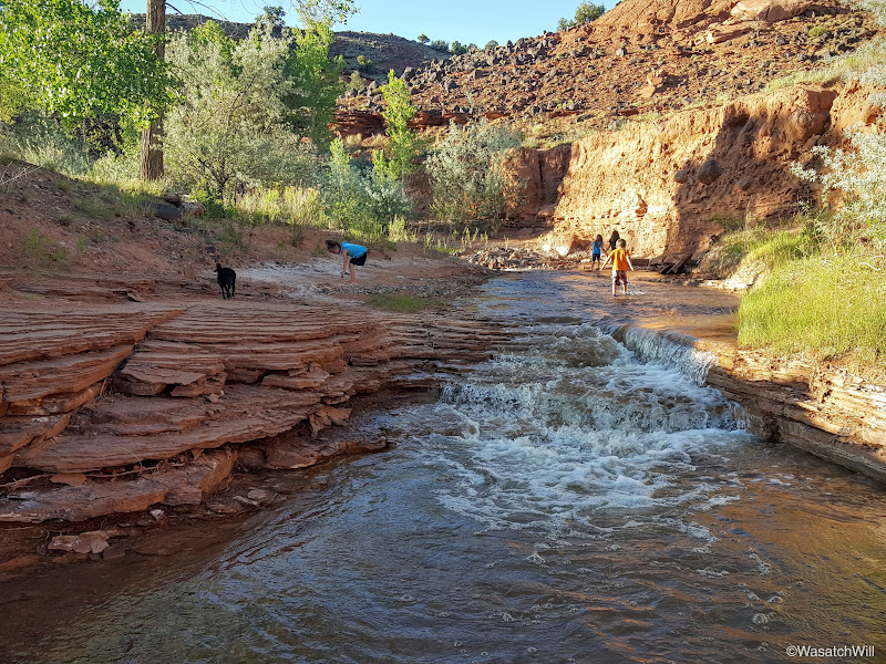
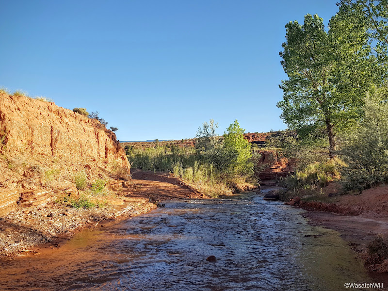
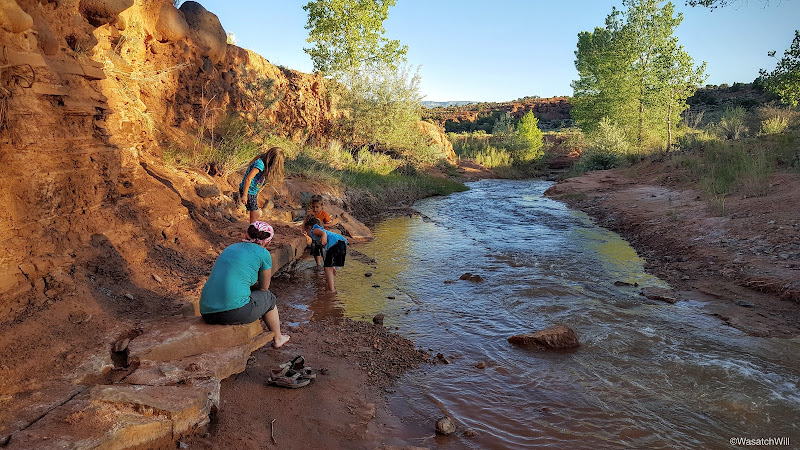
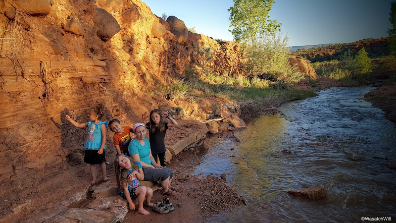
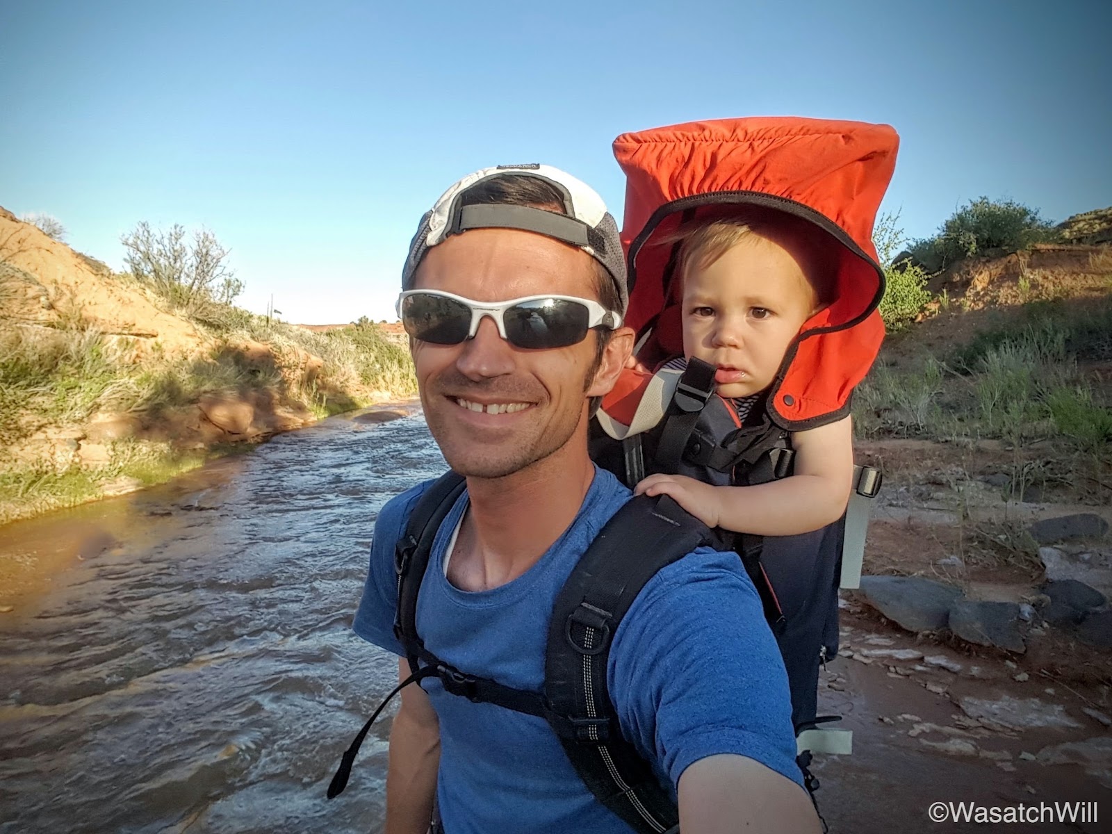
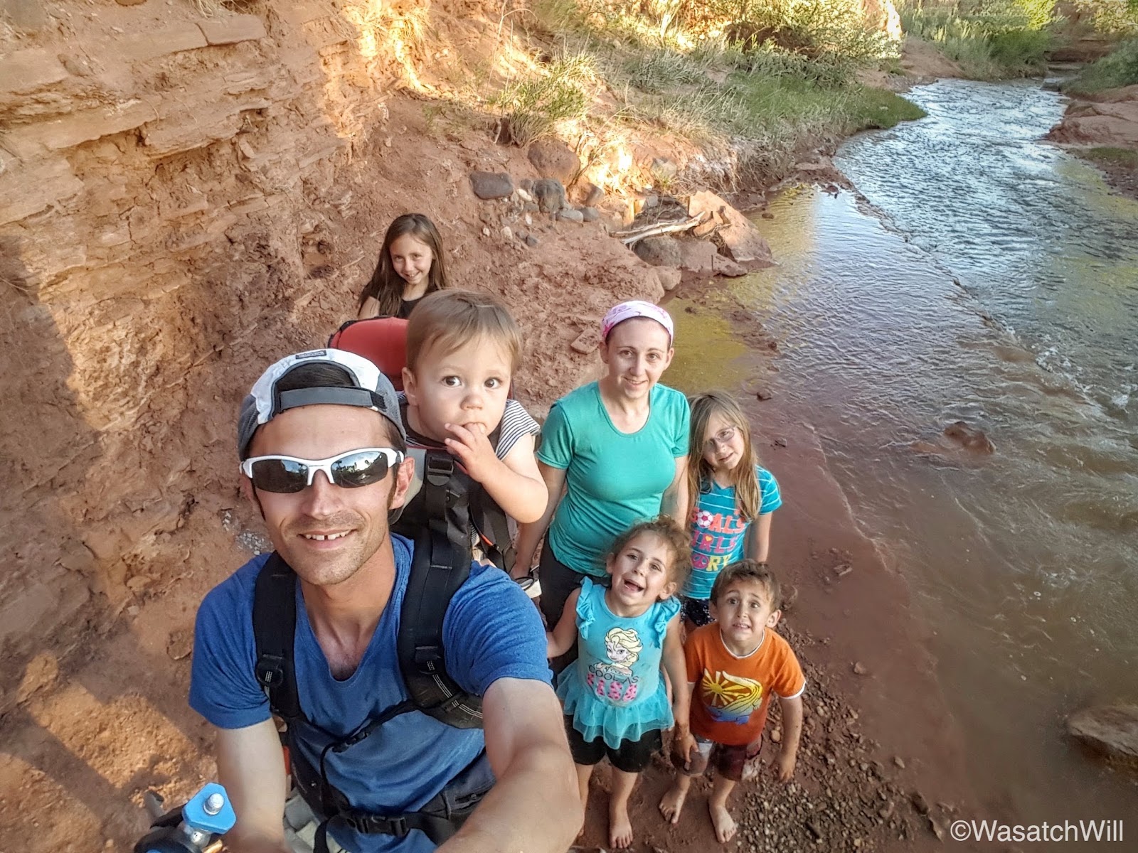
We arrived back at the car without incident and drove back up the road for Torrey to reunite with our children. That evening, we took the kids out for some more wandering. We chose a dog-friendly spot on Sulphur Creek outside of the park we hadn't been to yet and the kids immediately fell in love with it. Once again, we were blessed to find ourselves in what felt like another slice of Heaven of our very own.
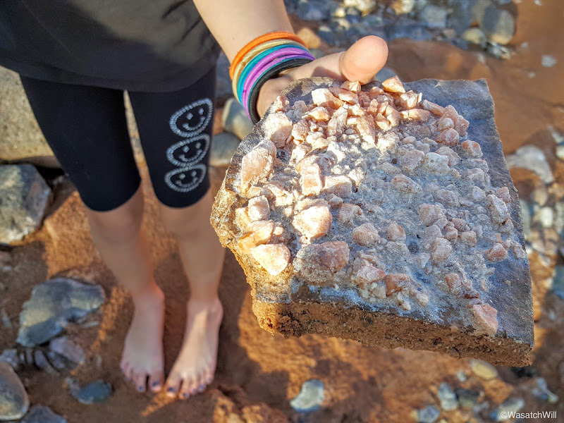
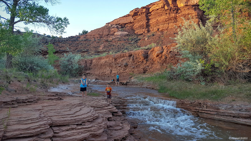
All of our kids love to hunt for unique and interesting rocks. Here's one that our daughter, Willow, found with quite a bit of texture across it.
I wandered down stream a bit with our youngest, Everett, to explore what was down around a few bends.

We turned around after a little way to rejoin the family back upstream.


This was about as close as Sophie dared to get to the water.
At last, it was Everett's turn to get his feet wet a bit.

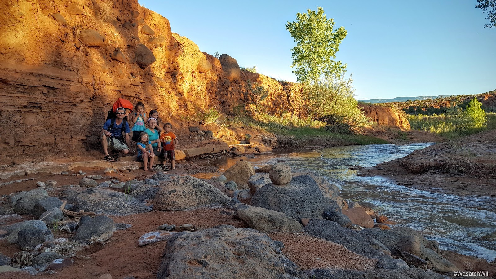
Needless to say, this is a new favorite spot I anticipate we'll be returning to many more times on our visits to Torrey.
We would have loved to stay longer, but dusk was starting to settle upon us. And with that, we wrapped up the trip with one final night back at Jessica's parents' place before returning home to Provo the next morning.
Once again, we've come to accept it as a real blessing to have family members to visit that live among such incredible landscapes with so many amazing areas to wander around and explore within just a few minutes of driving. This was another trip with time well spent with family and the great outdoors.
Edit: Amended a paragraph early on to give it more clarity and context and fixed a typo.
Memorial Day
Monday - May 30, 2016
After arriving at my in-laws on Sunday evening and getting all settled in, we awoke with plans to visit some grave sites of ancestors and relatives of my wife, Jessica, and her family. We made a short trip out to Loa to visit the cemetery there and then circled back through Teasdale's cemetery before finishing out back in Torrey.
Among all the sites we visited was that of Ephraim Portman Pectol and his wife, Dorothy (Hickman) in Torrey's cemetery. Ephraim is the great-great-grandfather to my wife and thus the great-great-great-grandfather to our children. What is noteworthy about Ephraim is that after running the still-standing Chuckwagon store and serving as bishop of the Mormon congregation in the town of Torrey, he was elected to the Utah State Legislature. While in that position, he and his brother-in-law, Joseph Hickman, with their passion for wilderness exploring and love of their Wayne [County] Wonderland, were instrumental in getting President Theodore Roosevelt to designate what is now Capitol Reef National Park as a federally protected national monument in 1937. Iconic landmarks in the park, Pectol's Pyramid and Hickman Bridge are named after them, respectively.
More importantly though, Ephraim was a faithful father who has been succeeded by an amazing posterity including my wife, who I'm so blessed to be married to, and our children. My wife and her dad are descendants of Ephraim through his daughter, Florence.
Our youngest son's middle name is Ephraim and comes from this same ancestor of his.
After paying our respects, we had some daylight left for some local exploring. Jess's dad took us up off Highway 12 for a bit to try and scout out some good fishing spots along a creek. We didn't have much luck with that, but we sure enjoyed the pleasant atmosphere.
Tuesday - May 31, 2016
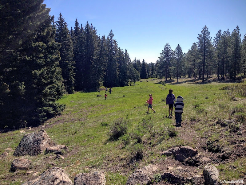
On Tuesday, we drove back up Highway 12 and further up onto Boulder Mountain with our kids in tow to do some fishing with their grandpa down along the banks of Pleasant Creek.

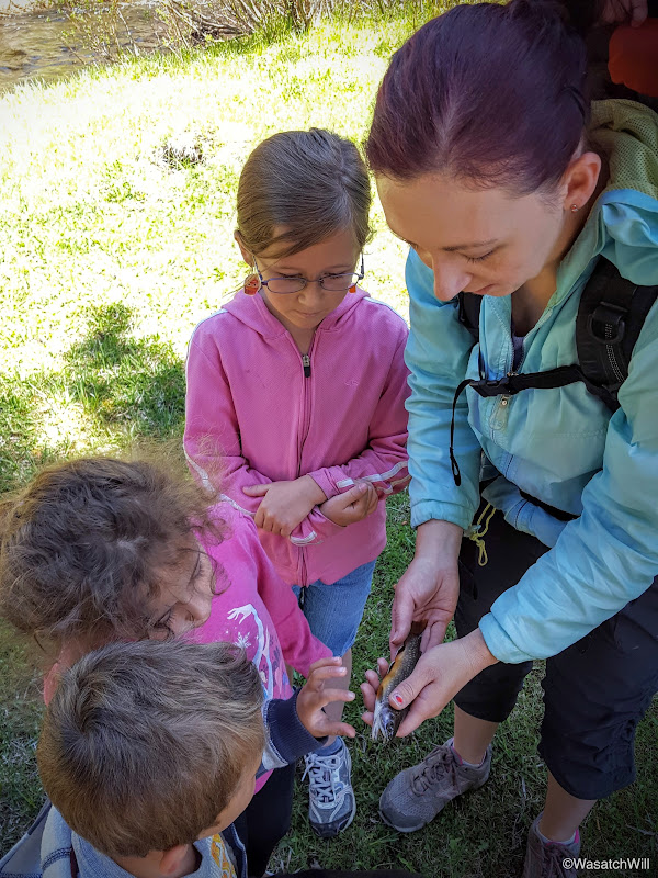
It wasn't too long before we started getting some action on our lines.

I was the last one to make a catch, but catch one I did. They were all small little brookies.

On our way back up the meadows, I stumbled into this guy buzzing through the grass.
Wednesday - June 1, 2016
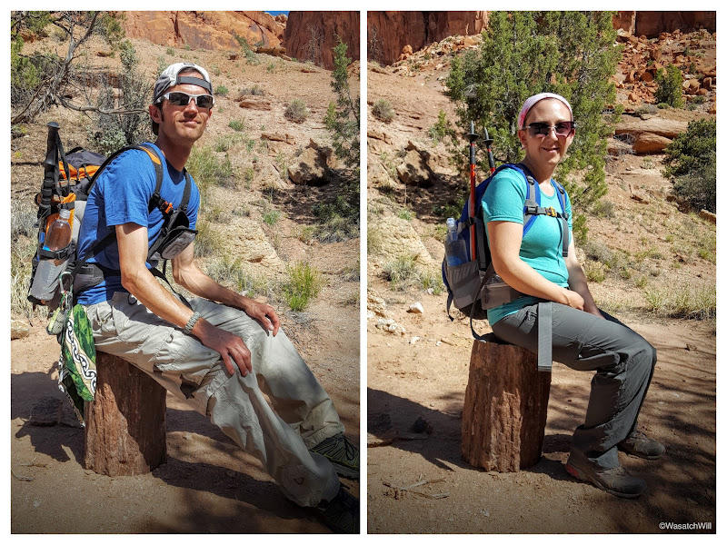
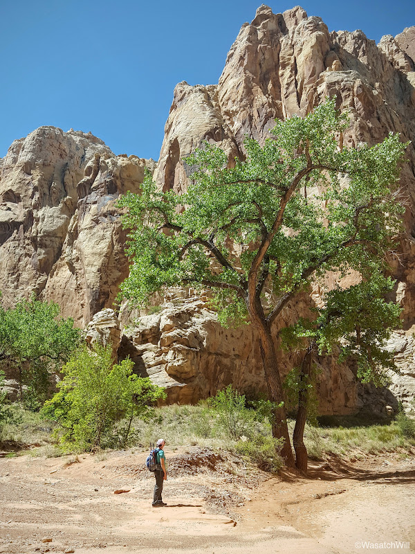
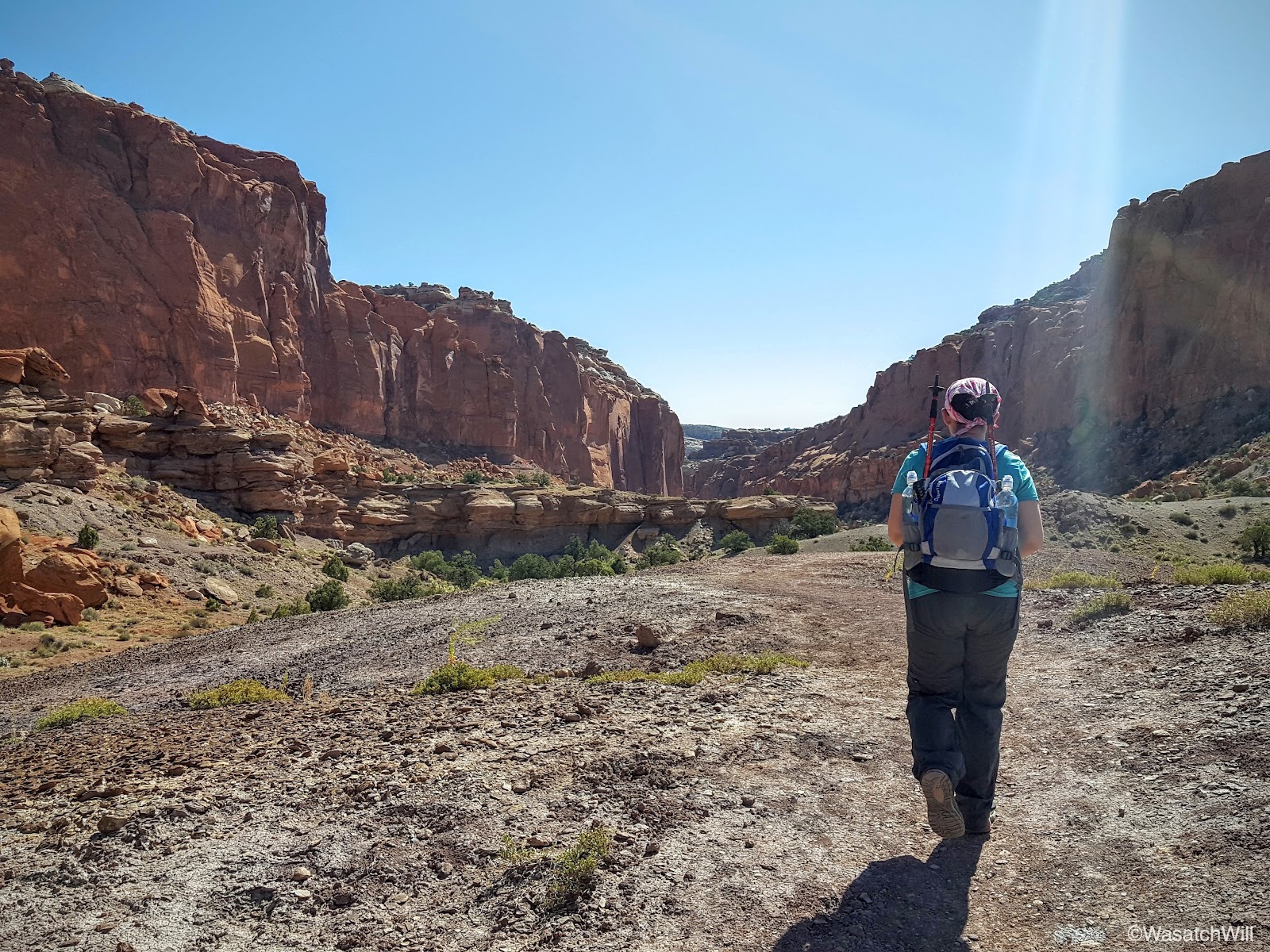
Wednesday was a day I got to take Jessica out on what has become one of my favorite hikes in the area thus far: Capitol Reef's Spring Canyon. We were actually packed and ready to go up the evening before to make a backpacking trip out of it, but Jessica's mom wasn't feeling 100 percent and we didn't want to burden her with tending all of our kids through the night, so we opted to hang around on Tuesday evening and make it a day-hike on Wednesday instead, assuming she'd be feeling a bit better then.
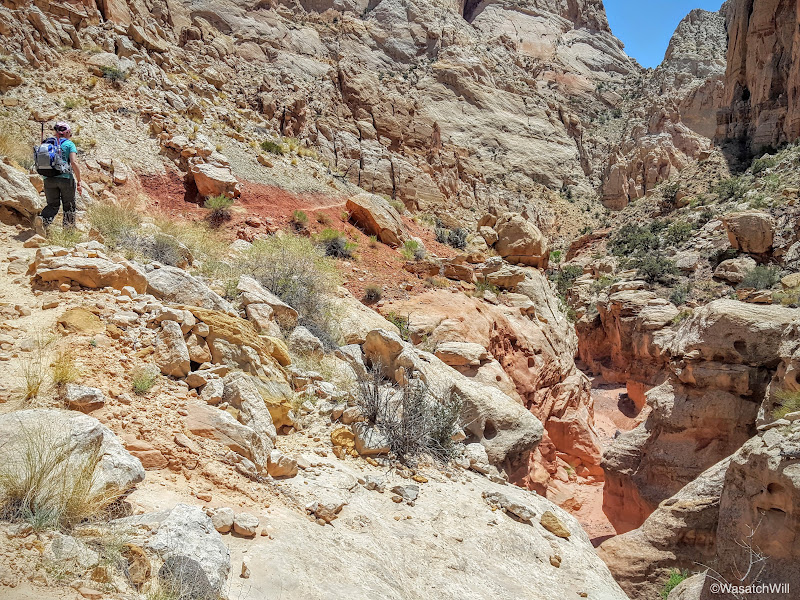
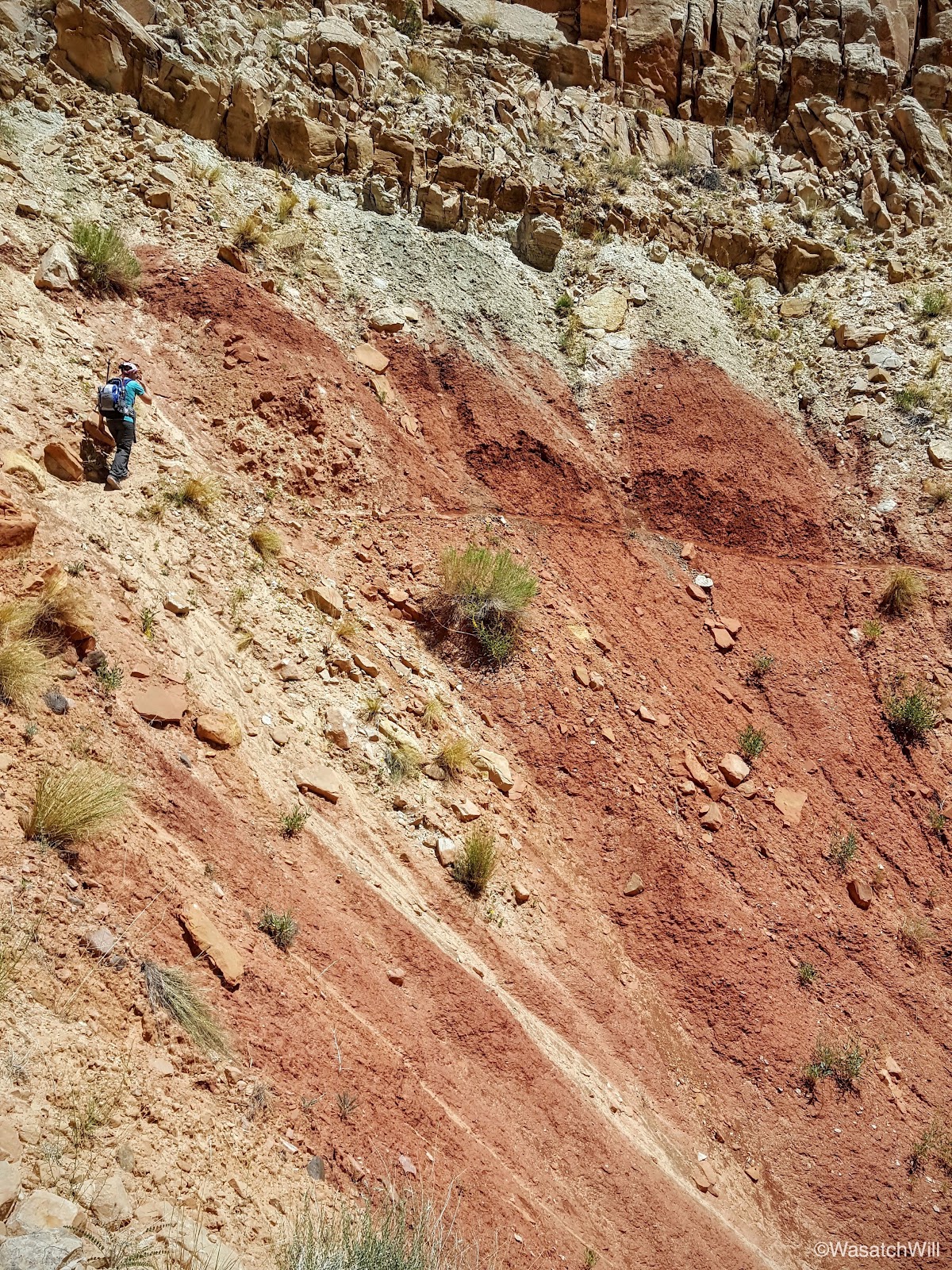
Fortunately, she was feeling a better and so the hike was on. Because we'd be hiking about ten miles one way we relied on Jess's dad to serve as a shuttle. We staged our car at the end of the hike whereupon her dad then drove us back up to Chimney Rock, our starting point.
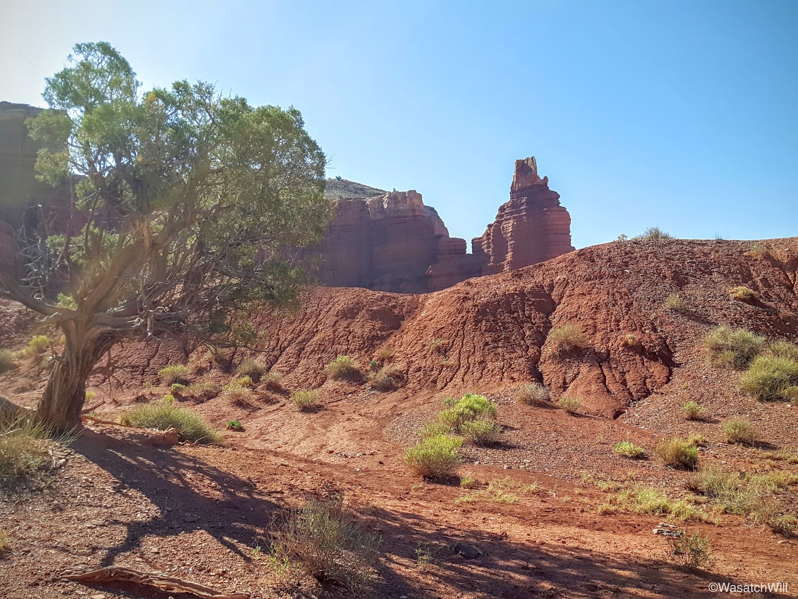
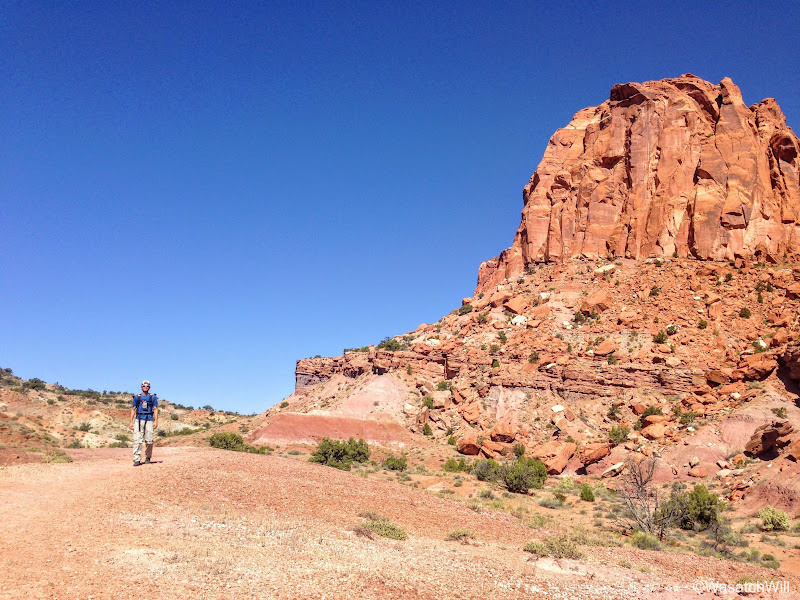
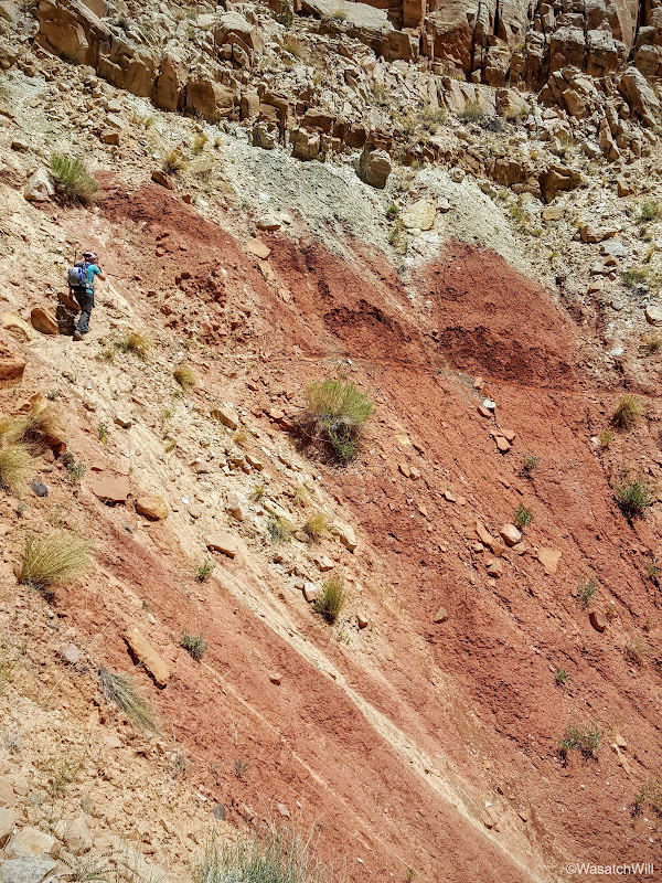
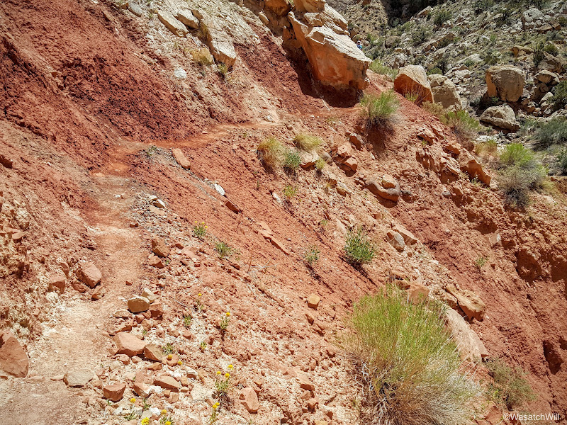
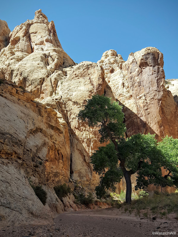
The trail heads up hill in a hurry to gain the mesa top above Mummy Cliffs and Chimney Rock.
Getting to the first fork in the trail and its accompanying sign marked the end of the only significant uphill hiking, which isn't much, unless you're like the couple who we had just recently passed moments before where they stopped to turn around, stating that was as high as they were comfortable with. Perhaps they were from the South or along the East Coast or elsewhere and were just not used to or experienced with higher elevations yet. Last year on my journey through here, I chose to go to the right and circle above Chimney Rock and take in the views from the top of Mummy Cliffs. This time, we'd keep to the left, saving ourselves an extra mile or so, and go straight up the Chimney Canyon trail. Between here and the mouth of Chimney Canyon would be all new to me.

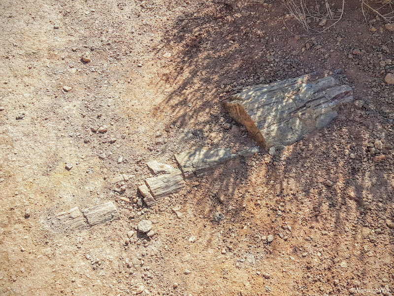
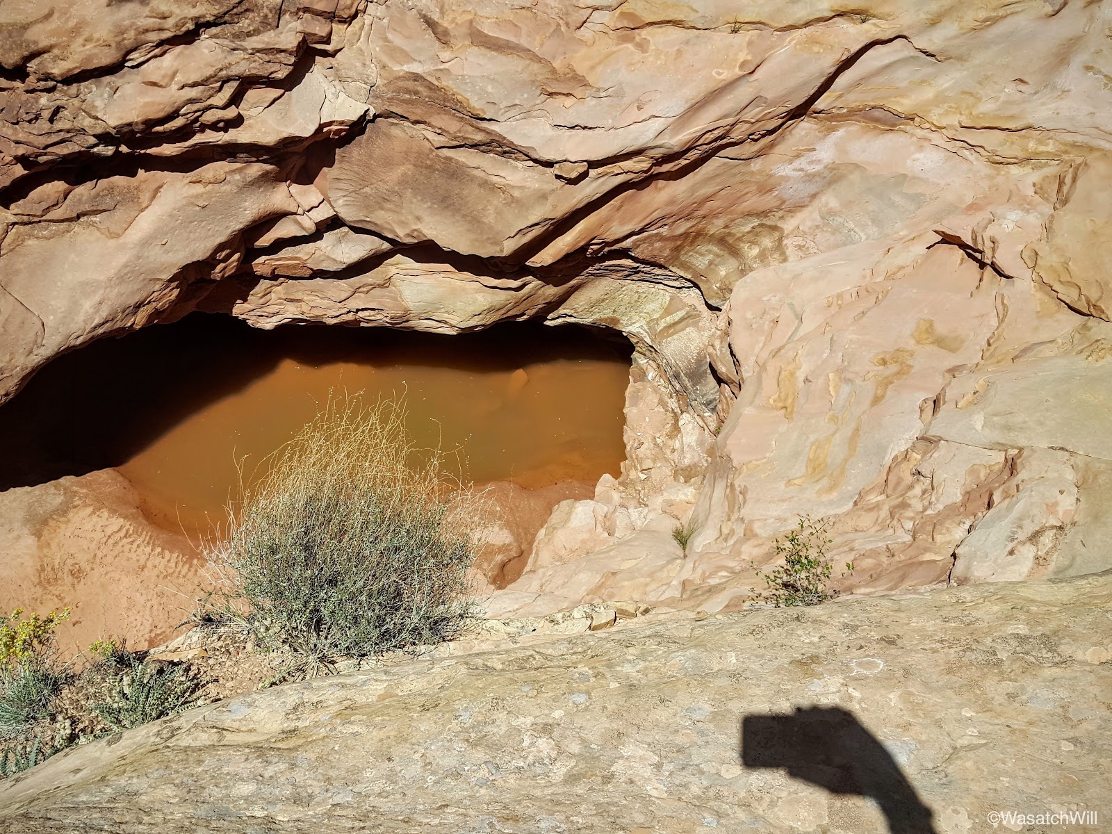
Petrified wood is abundant throughout Capitol Reef and the southwest. The trail we were on passed by a bunch of it and even crossed right over a small exposed log.

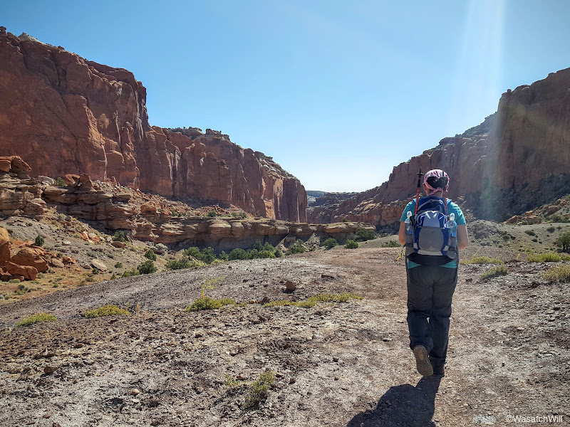
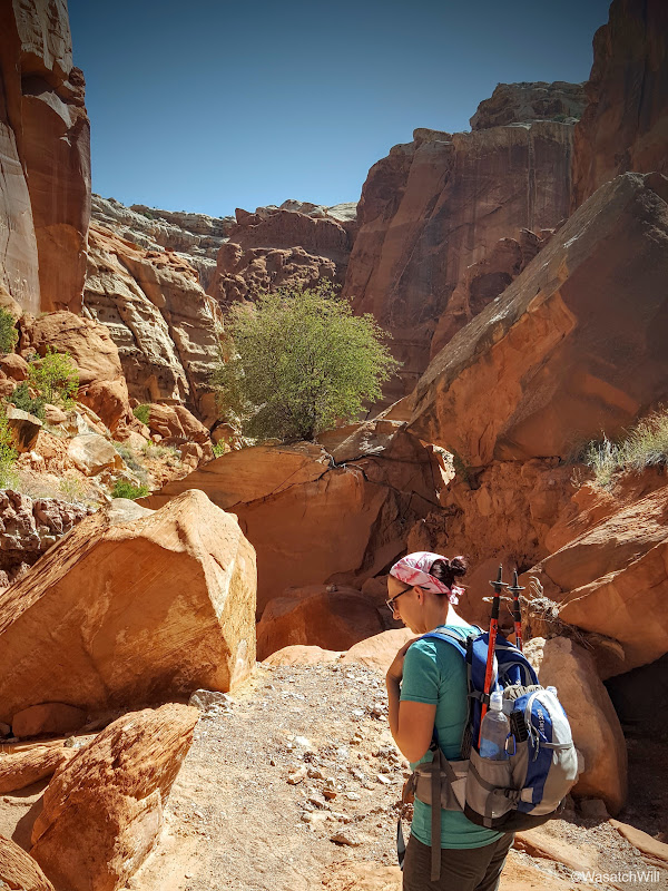
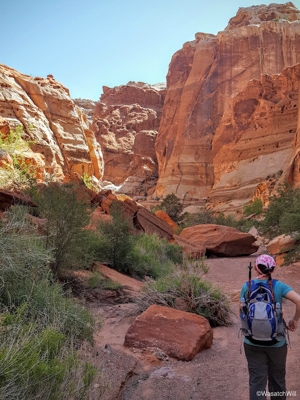
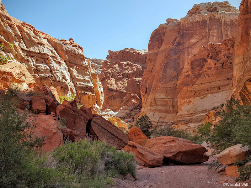
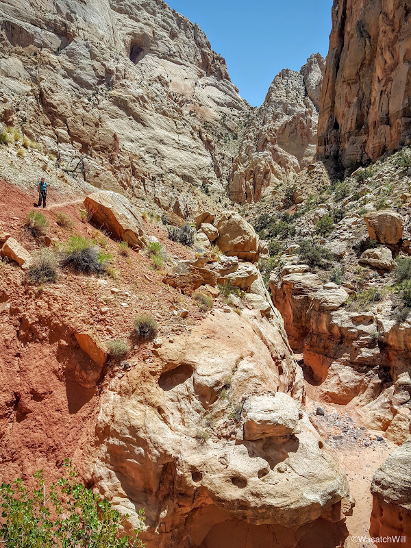
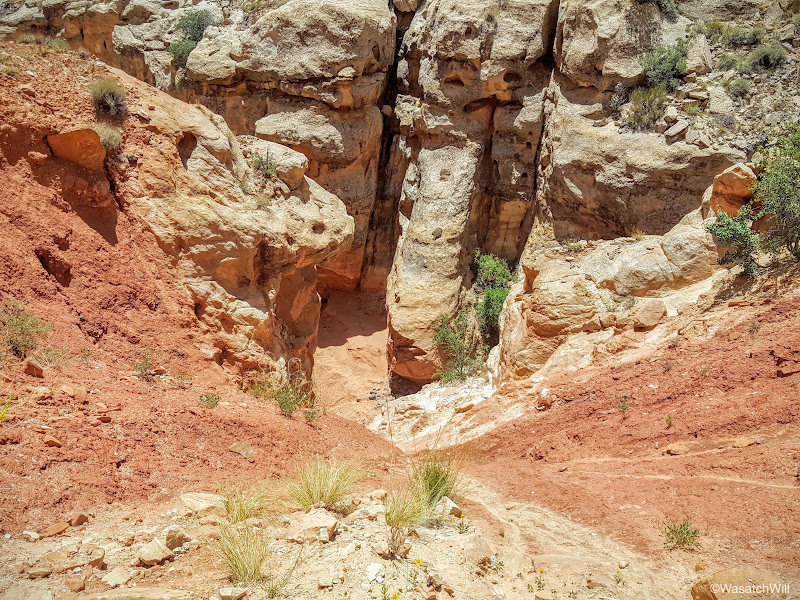
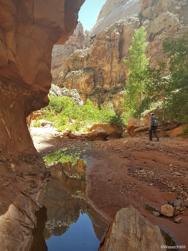
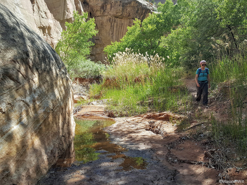
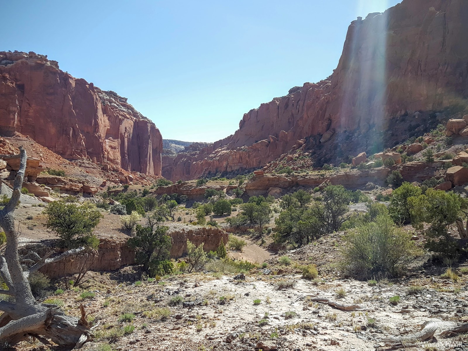
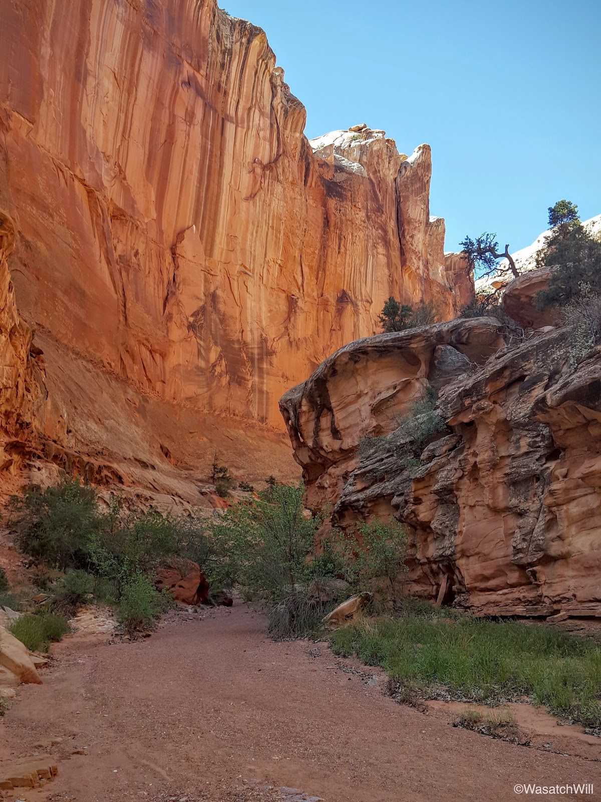
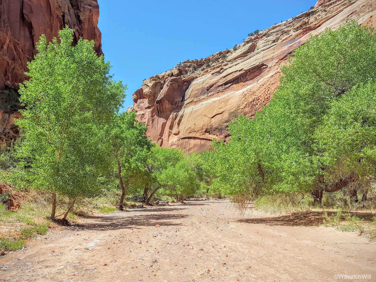
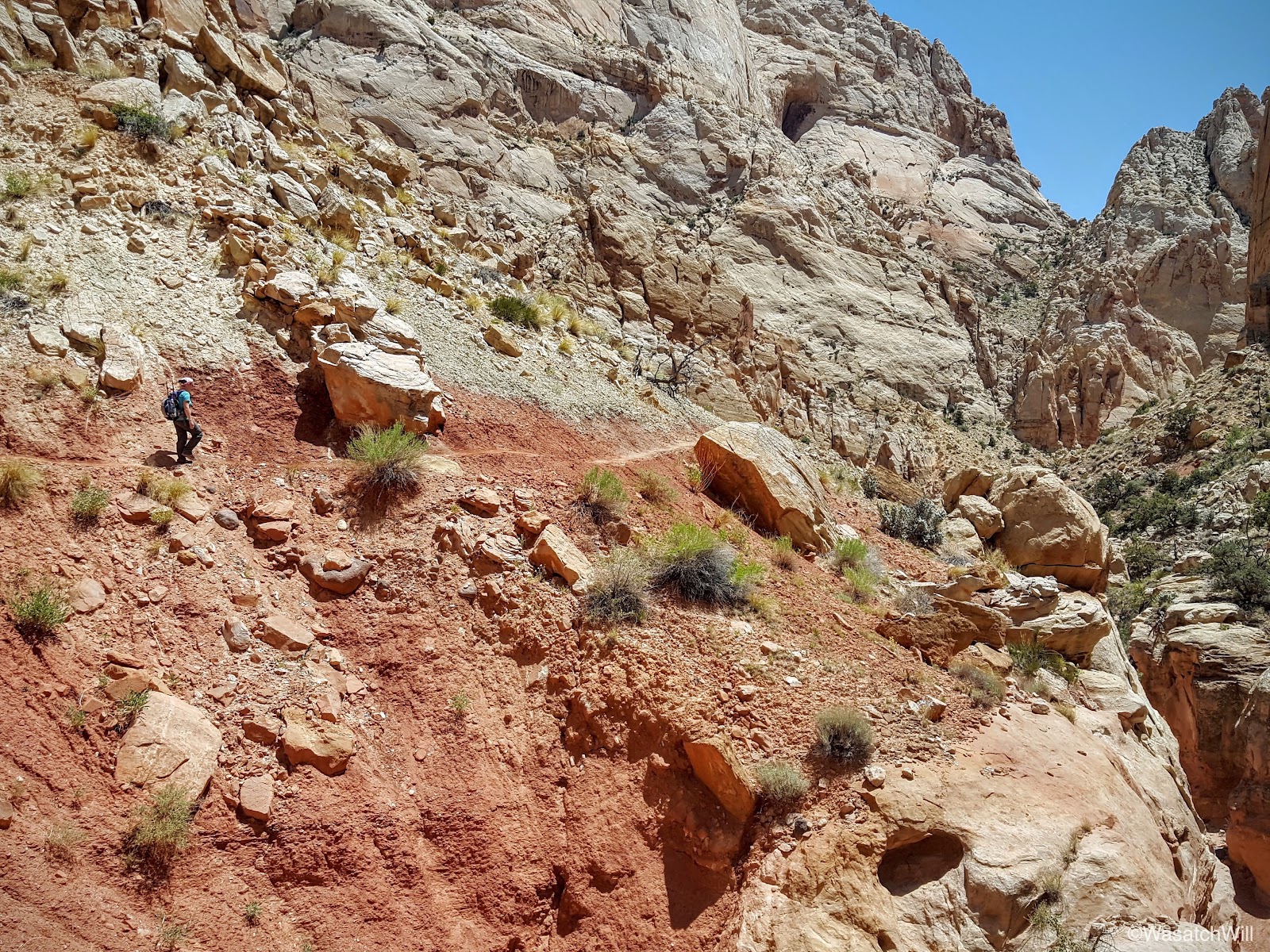
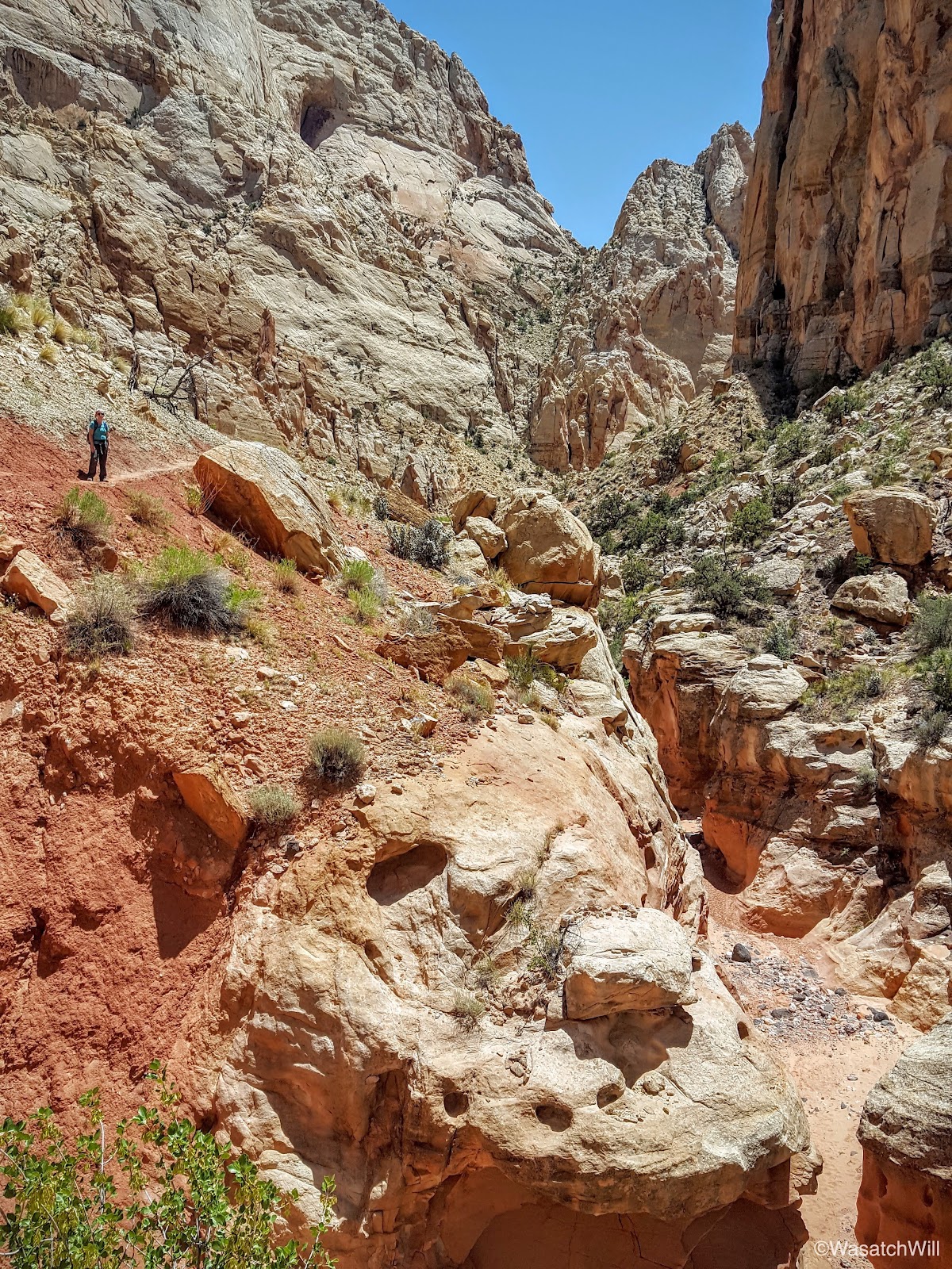
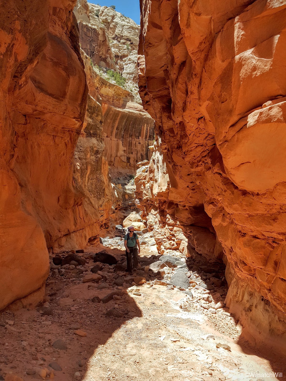
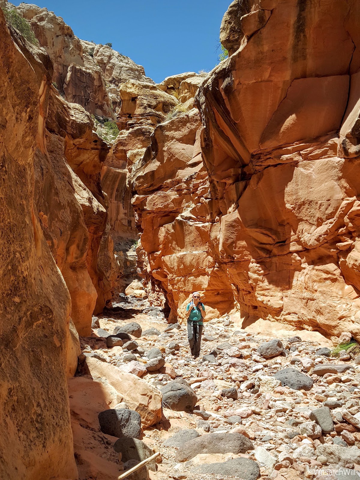
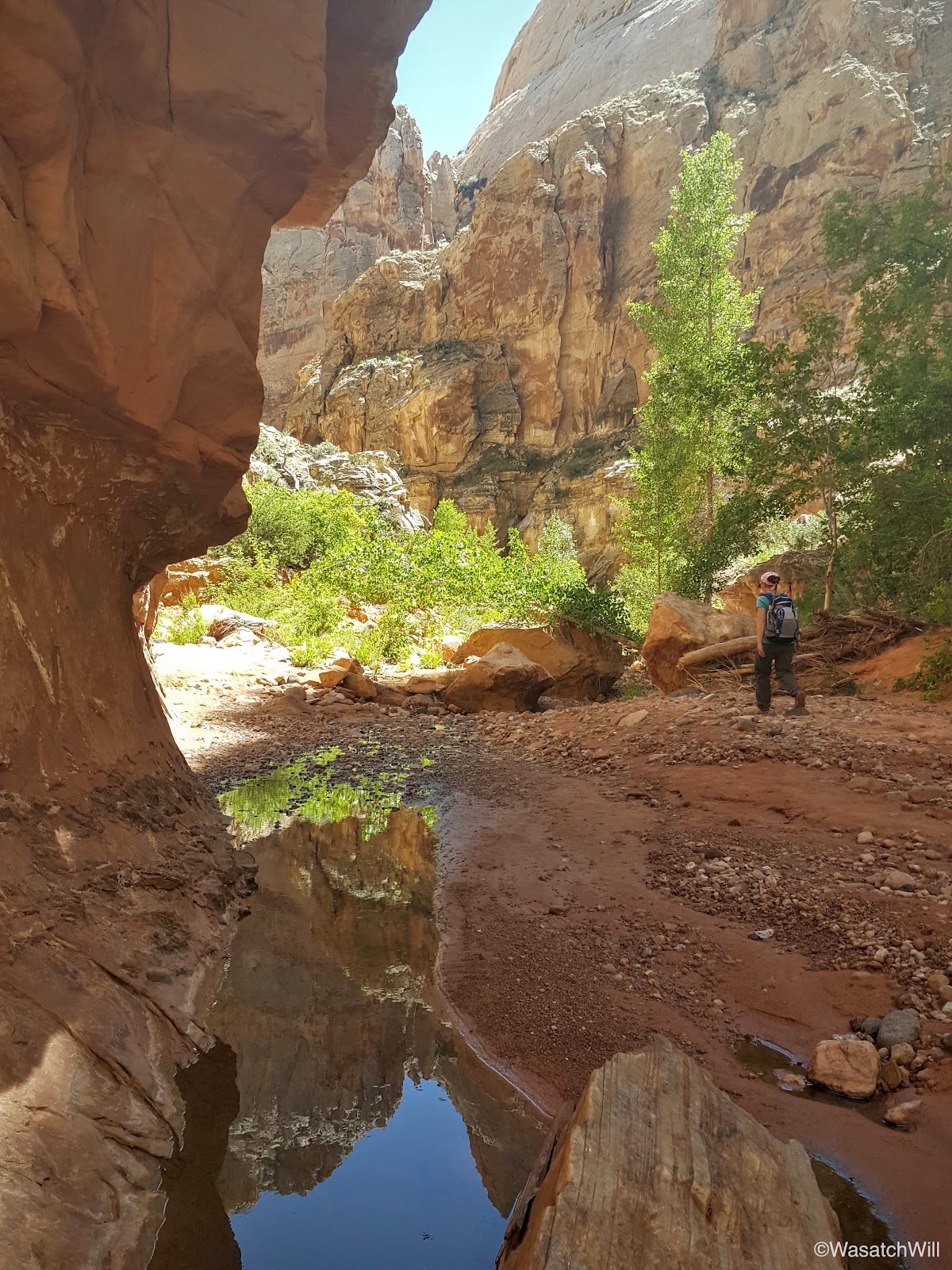
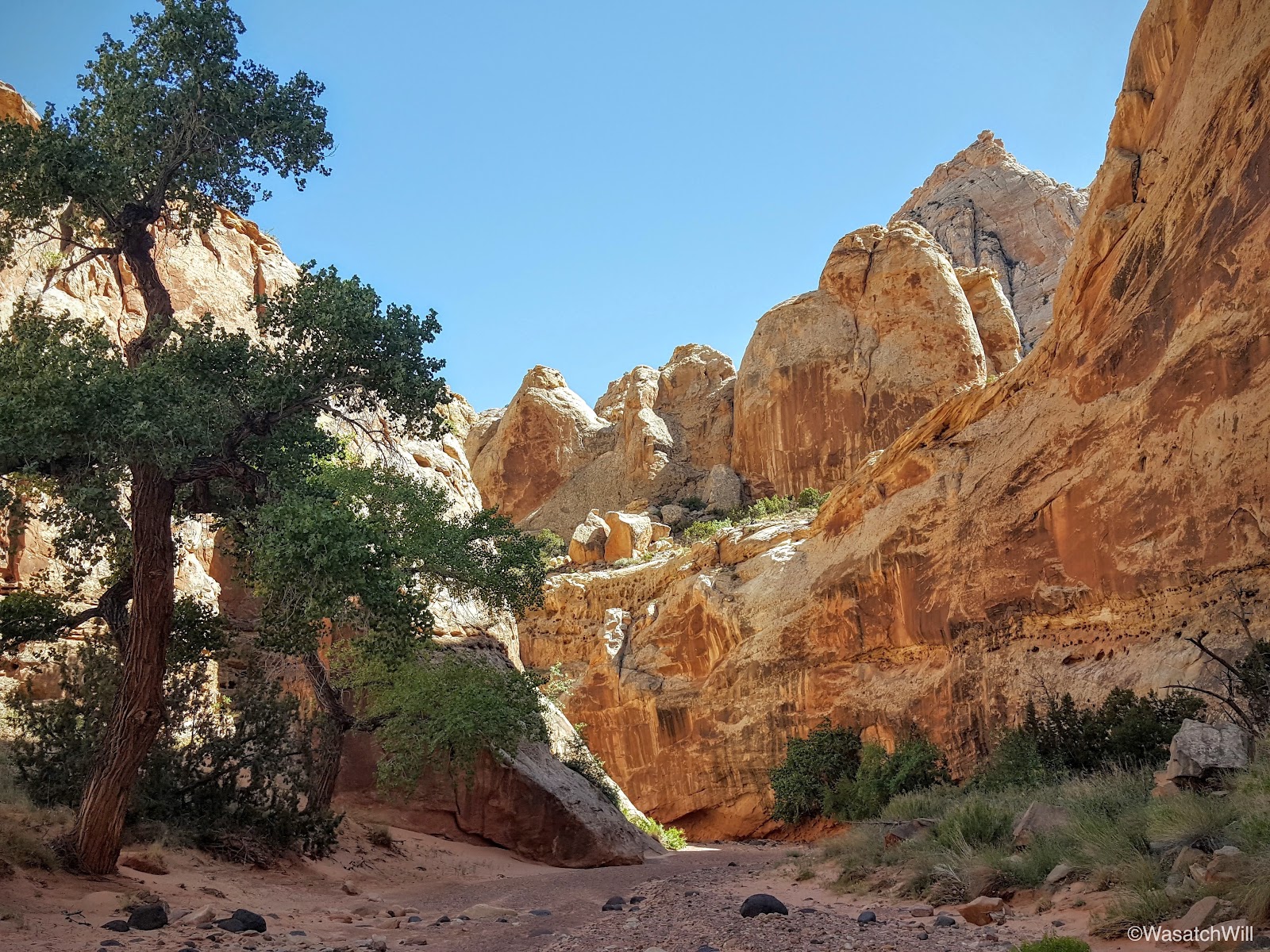
To get into Spring Canyon, we had to travel through the short but scenic Chimney Canyon.

Shortly after entering Chimney Canyon, we stumbled into another real nice piece of petrified wood. It proved to be a perfect little stool to rest on.


Chimney Canyon in and of itself is a beautiful hike, and does see a fair share of visitors due to how short and how close it is to the very popular Chimney Rock Loop.


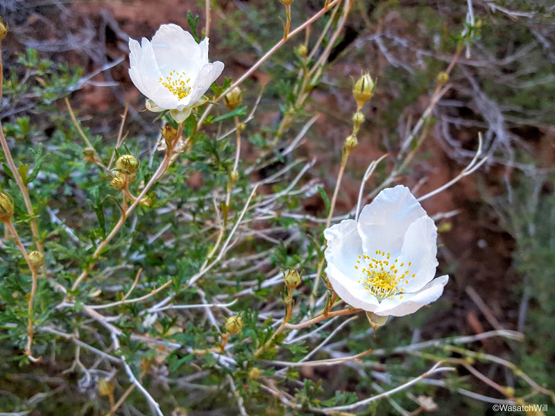
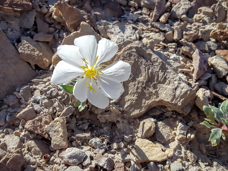
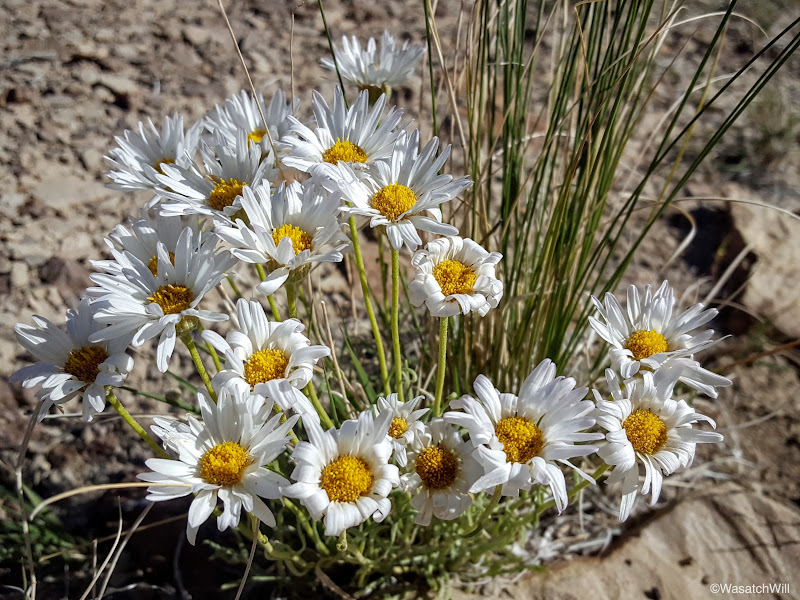
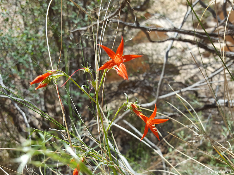
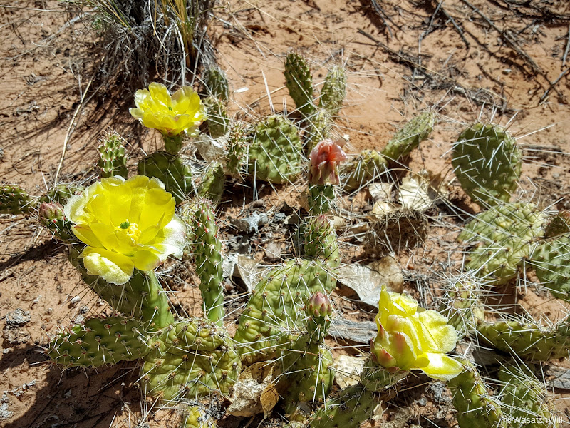
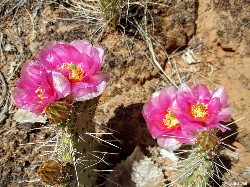
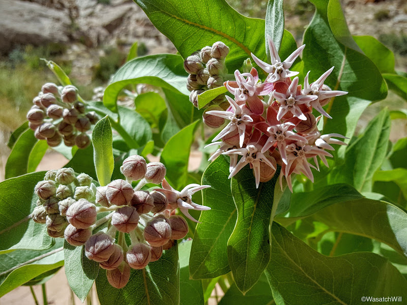
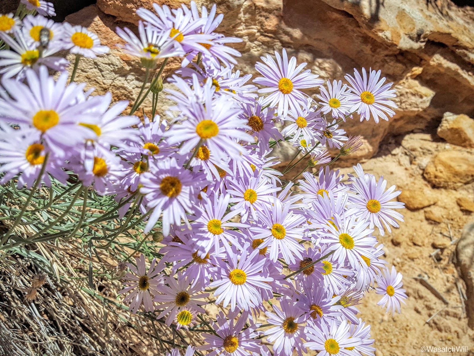
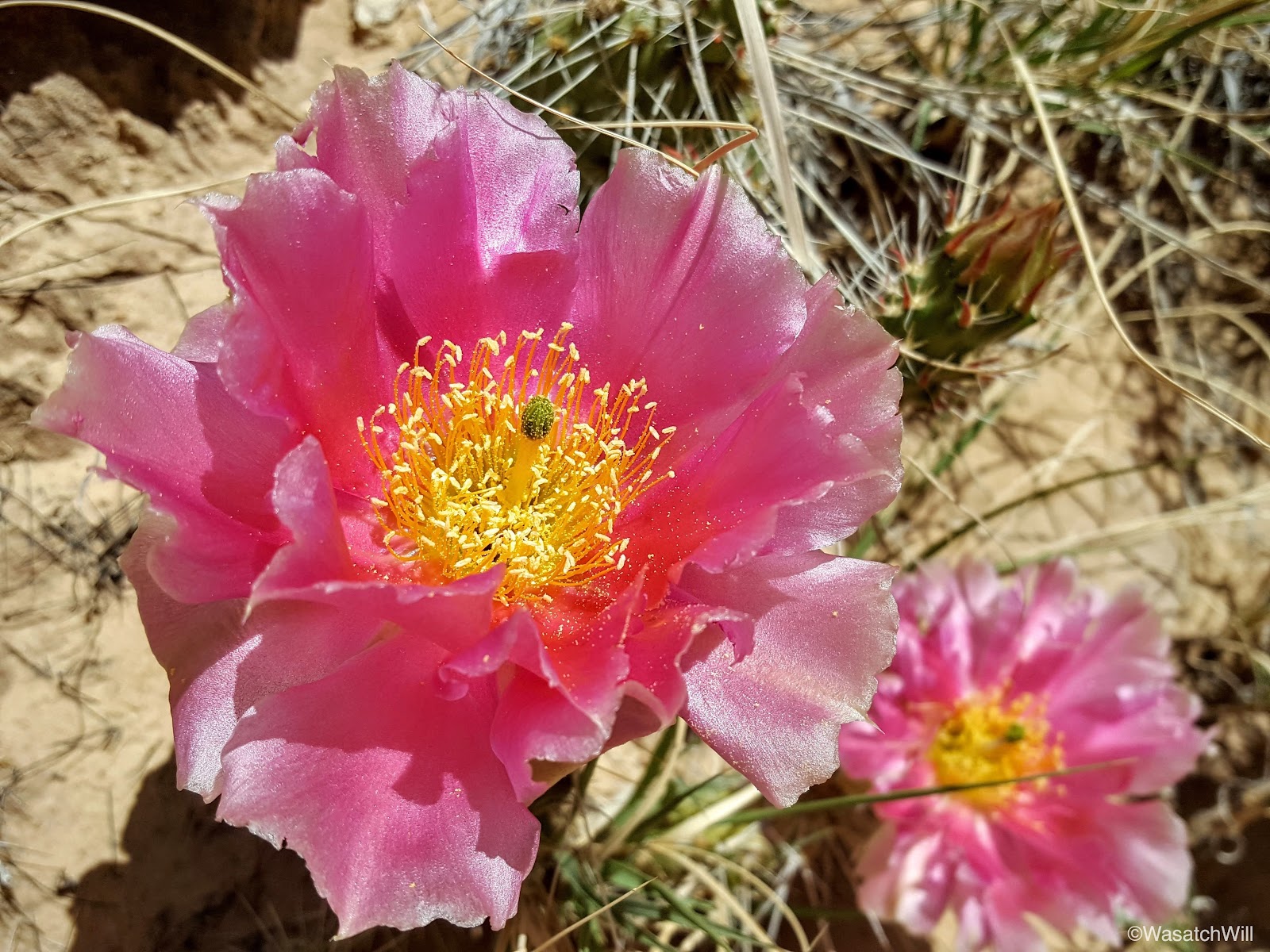
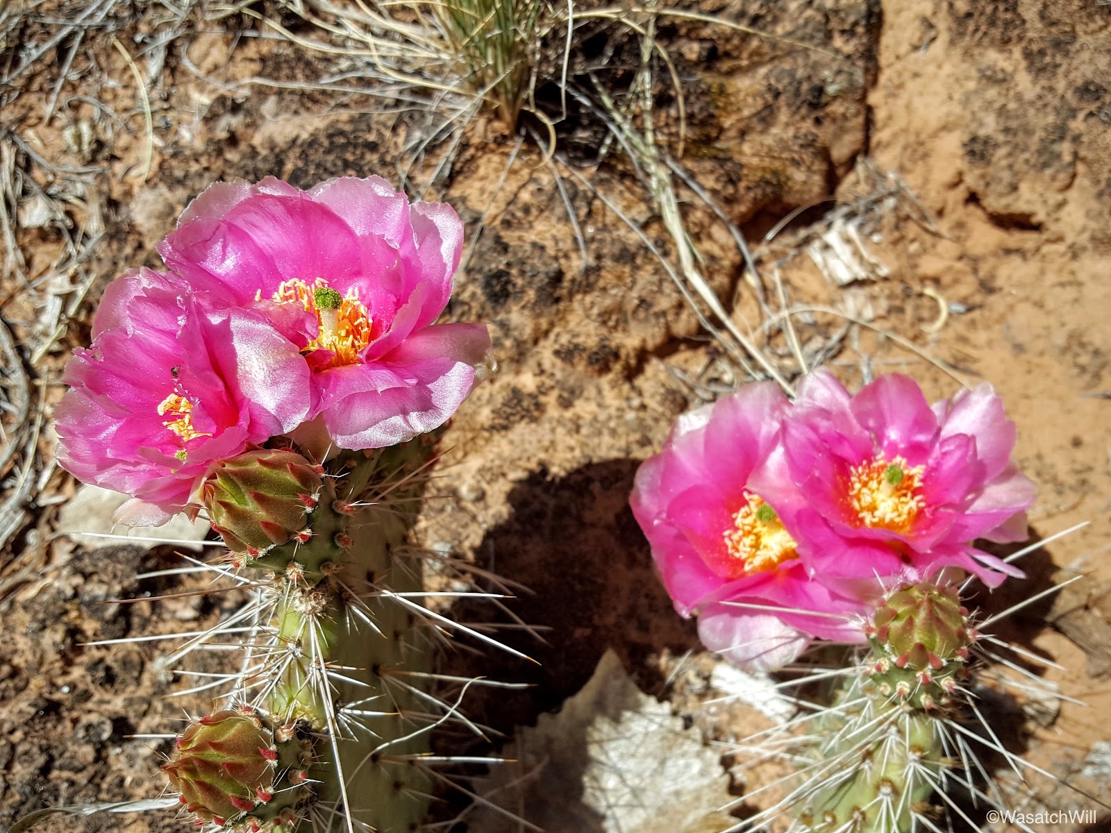
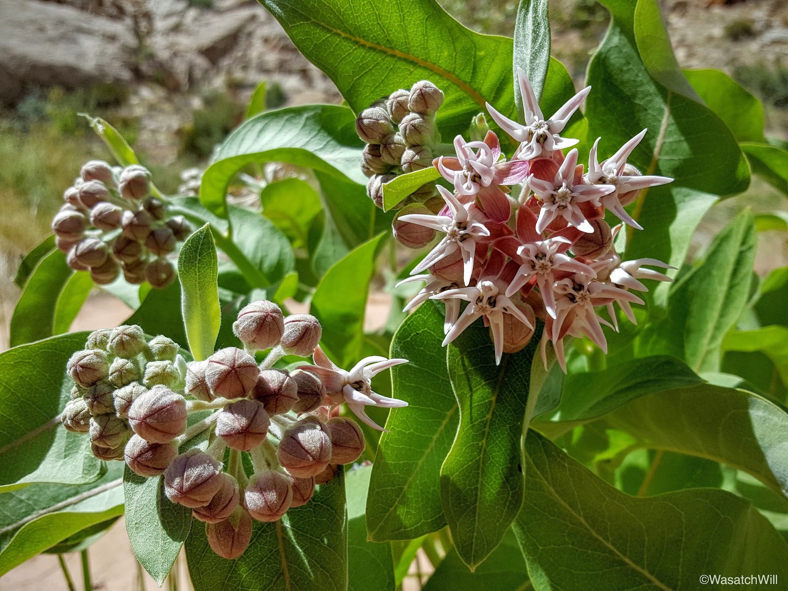
Desert flowers were in full bloom all along the way.


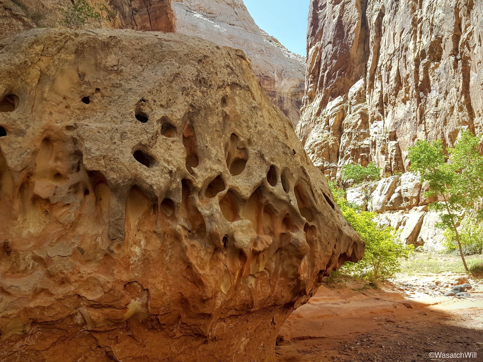
Still in Chimney Canyon, I spotted a hole that had been eroded through a large sandstone boulder along the side of the wash we were hiking and so we had a bit of fun with it.

There was an interesting marble pattern when looking through from the other side.

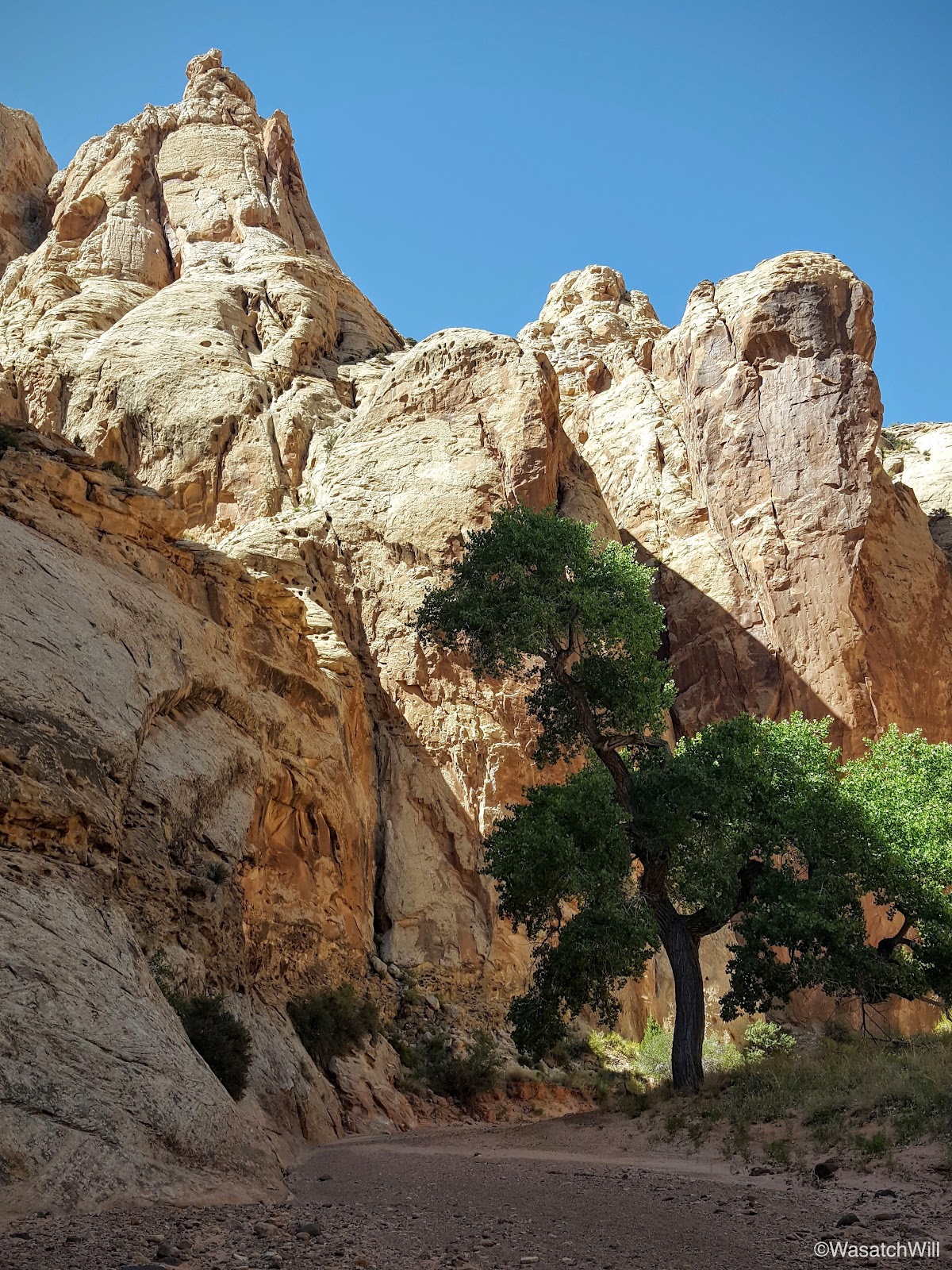
There are two trees that reside in the wash bottom and beckon for a hammock, but they're right in the middle of the wash that serves as the trail. They also signify that the junction with Spring Canyon is very near.
Right before the junction, I noticed another unique hole through a rocky face.
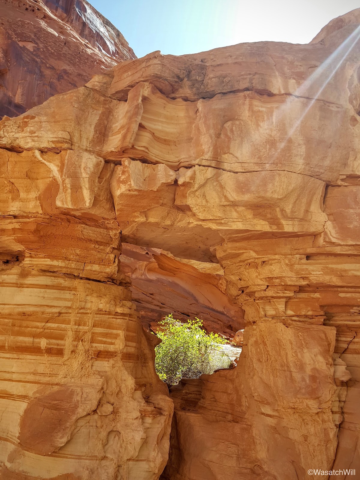
A step back and a wider look revealed a very humanoid profile.
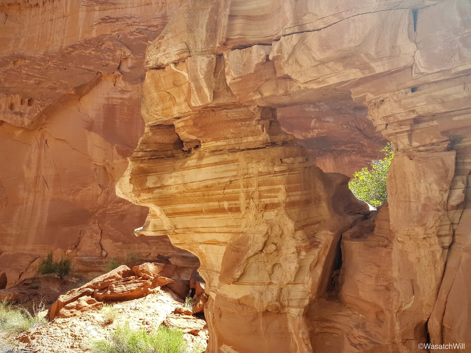
I found it to be very fascinating. I could not have done any better at chiseling the rock than natural erosion did to carve a facial profile out of this rock. It reminded me of an Egyptian Pharoah.

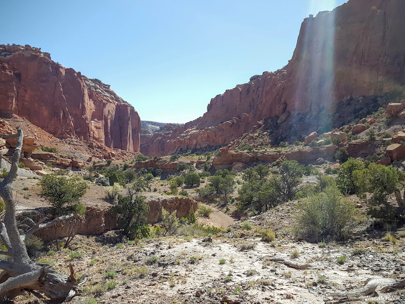
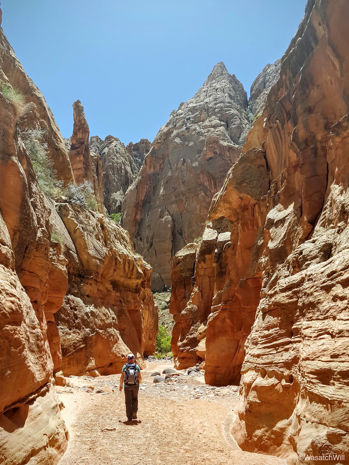
After turning another corner, the junction with Spring Canyon was now in sight.
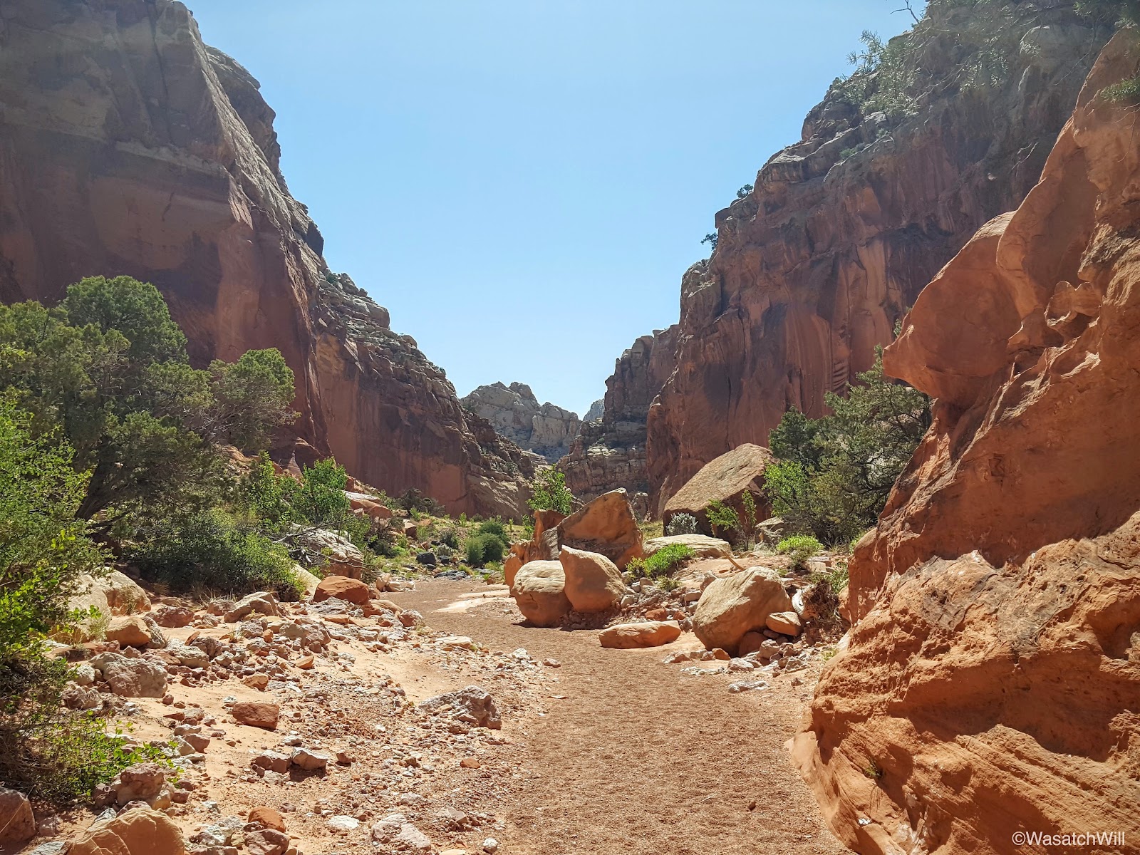
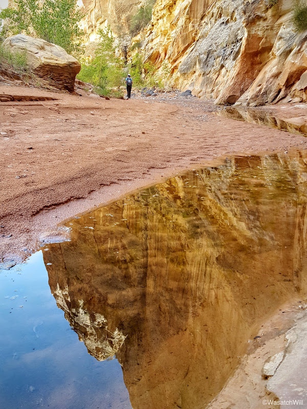
A few minutes later, we arrived at the junction. Most hikers will keep to the right and follow Lower Spring Canyon all the way out to the end. We'd be taking that route too, but I wanted to take Jess up into Upper Spring Canyon a little bit first. In doing so, we almost stepped on this little caterpillar cruising across our path.
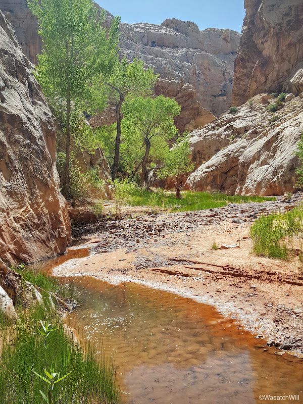
A little over a mile up from the junction is the spring for which the canyon gets its name. We did not go up quite that far, but we did make it to the short shallow stream that is fed by the spring.
There a nice grove of cottonwoods along the way that offer lots of nice shade. It was a prime place to take a break and have some lunch.
We didn't stay long. There was still much more to see down Lower Spring Canyon, so back down to the junction and on down into the lower canyon we went.


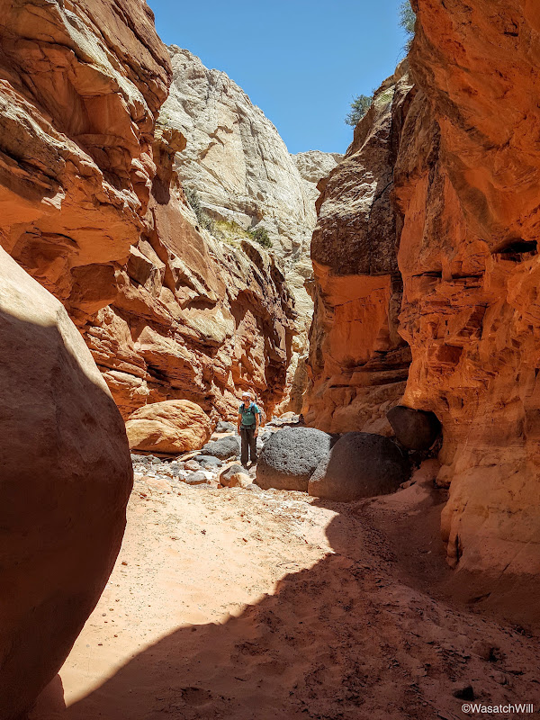
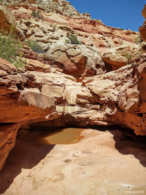
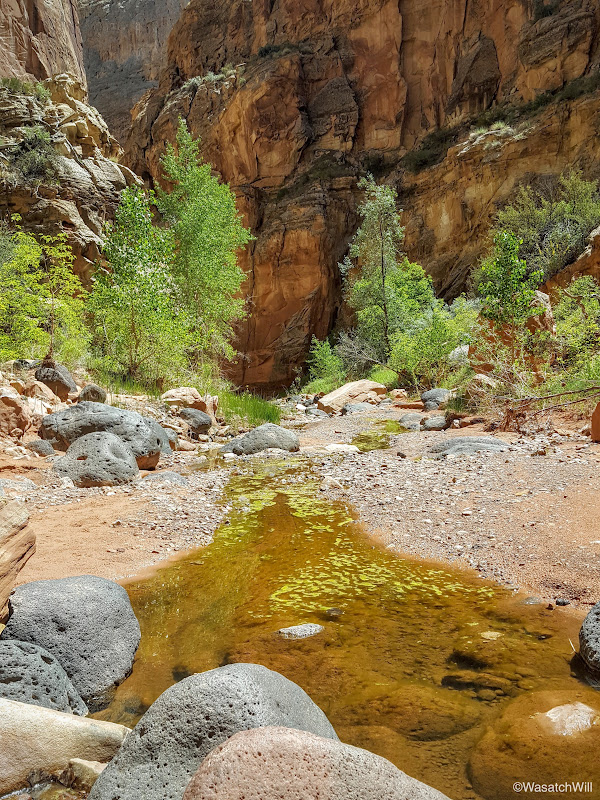
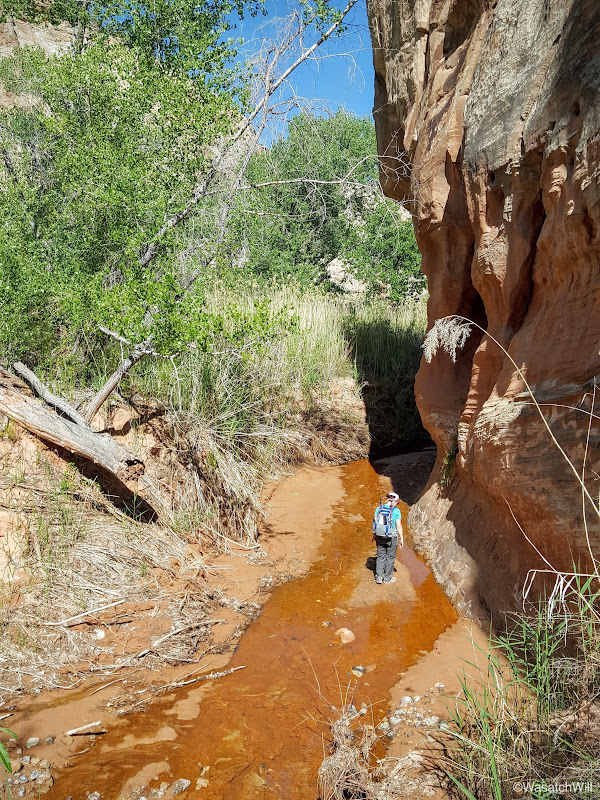
About a mile down from the junction, the wash descends into a narrow slot canyon. There are a few small pour-offs that often have pools of water sitting beneath them which pose quite an obstacle to those without ropes and some basic canyoneering skills to know how to use them.
We took a moment to look down into the first or upper pour-off...

...and then on down to the second or lower pour-off.

We neither had the ropes nor the skills, so we took the less adventurous bypass route along the left side of the canyon wall above the slot.

I say "less adventurous" because this route involves traversing along a short section of really exposed trail. One misstep, a slip, and a fall could end with almost certain death or a lifelong injury at best. There isn't a pool of water, mud, and soft sand to break a fall at the bottom of this high section as there is beneath the pour-offs that sit much closer to the canyon bottom.
The trail through this section gets as narrow as 5 to 6 inches in spots. You definitely want to keep your eyes on the trail when moving along this part.

This is the drop you face when looking down from the trail in the picture just above. What isn't as clear in this picture below is that there's a vertical cliff that's probably about 40 feet high waiting for you at the bottom of the slide.

This is looking back up canyon from the bypass trail. It gives you a good sense of how high up from the canyon floor the bypass trail takes you.
The next quarter mile or so makes a quick but reasonably gradual descent back down to the canyon bottom. Here, we opted to explore up into the slot.
As we wandered up the slot, there were two young women resting in the shadow of the narrows. They were the only people we'd encounter on the whole hike since entering Chimney Canyon...and that's two more people than I encountered when I hiked through it solo last year. In other words, this is a rare place inside of a national park that's relatively easy to access where true solitude can be experienced. With that solitude, however, comes the risk that if something bad were to happen in the middle sections, you'd be a few miles away either way from any aid and you may not see another person come by for a day or two, or much longer, depending on the season.
We soon reached the lower pour-off where we rested in the shade along a low ledge on the side.

I couldn't resist climbing up it to go check out the upper pour-off above. Jess didn't share that same urge and chose to just sit back and relax a bit more.
The upper pour-off is just a stone's throw from the top of the lower.


Back down from the pour-offs and well rested, we moved on back down through the slot to finish off the lower canyon.

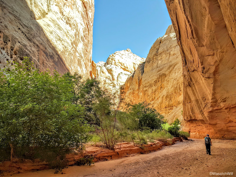
The canyon widens up briefly before narrowing back up again for this picturesque section. Unfortunately the sun was straight overhead so the lighting wasn't ideal through here.

After the canyon starts to widen back up again, an arch high up on the left becomes visible.
If you also keep your eyes open along the bottom of the canyon walls, you can find cavities in the rock walls large enough to take shelter from the mid-day sun. We did just that.
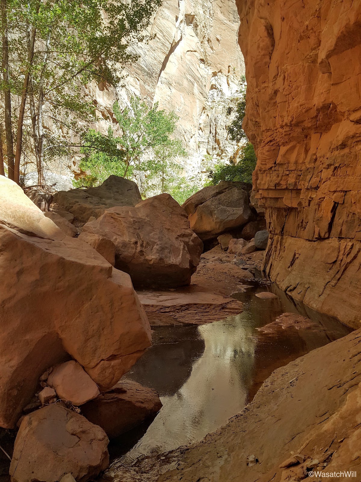
The canyon continued to twist and turn, revealing both new surprises and familiar sights around every bend.

Eventually we arrived at the site I had camped at last year.
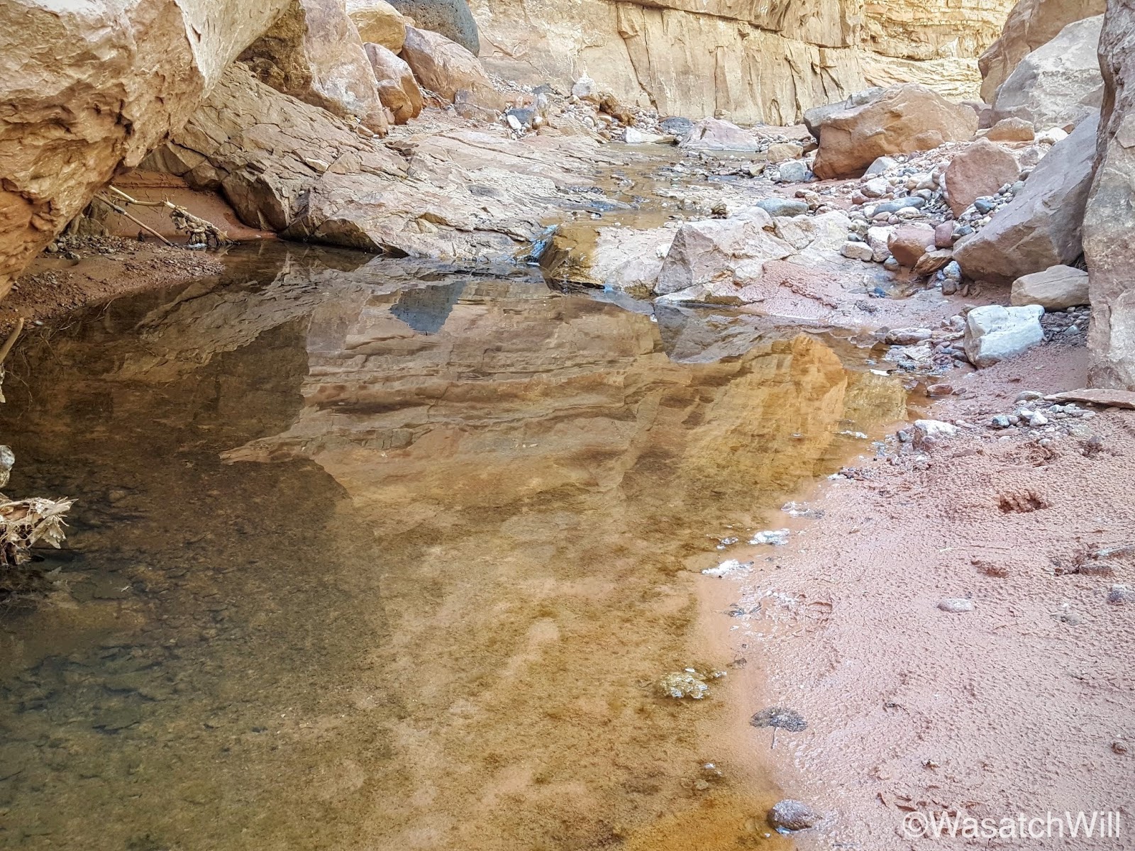
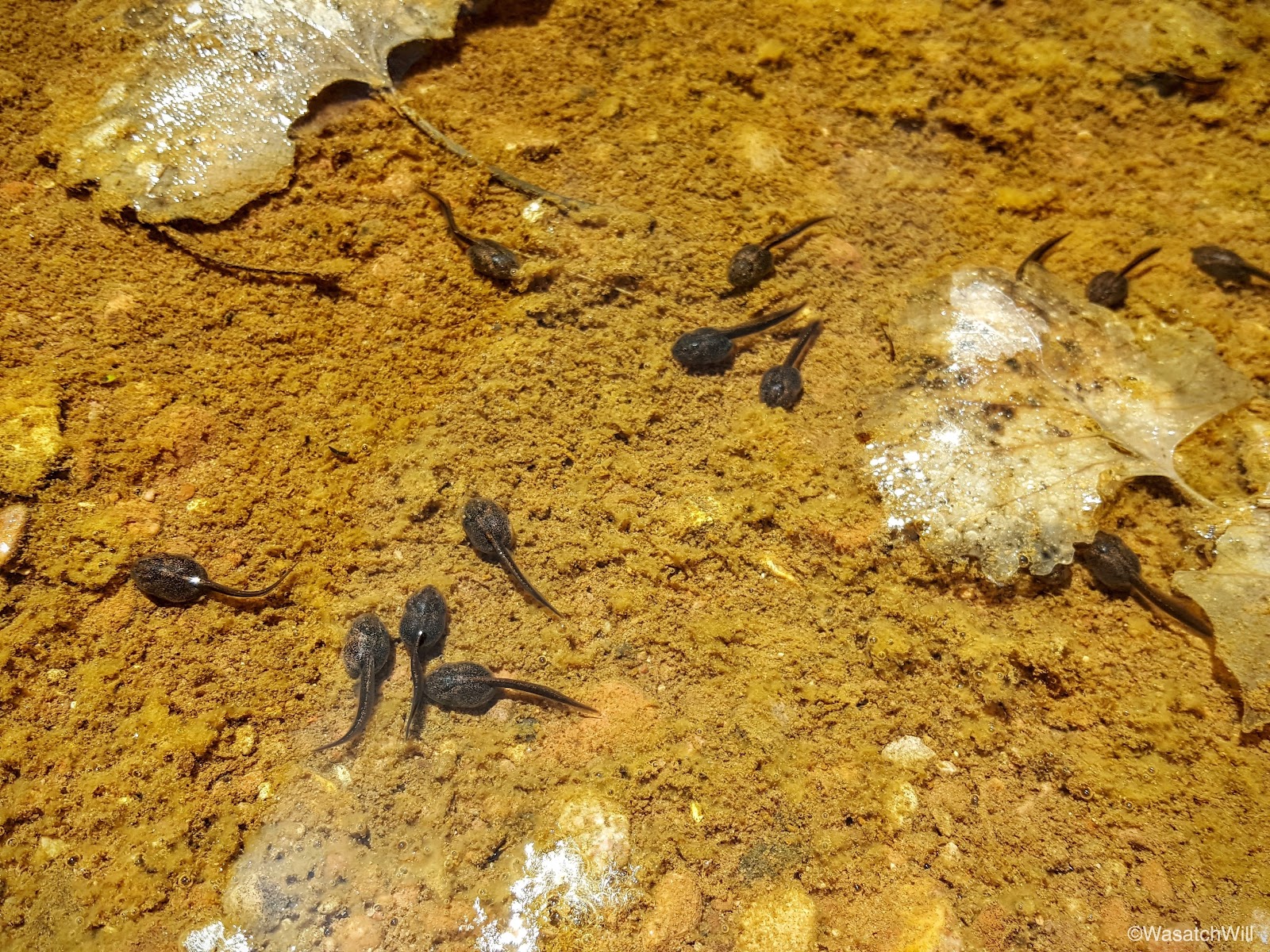
Once again, water was abundant, but this time, the pools were full of tadpoles.
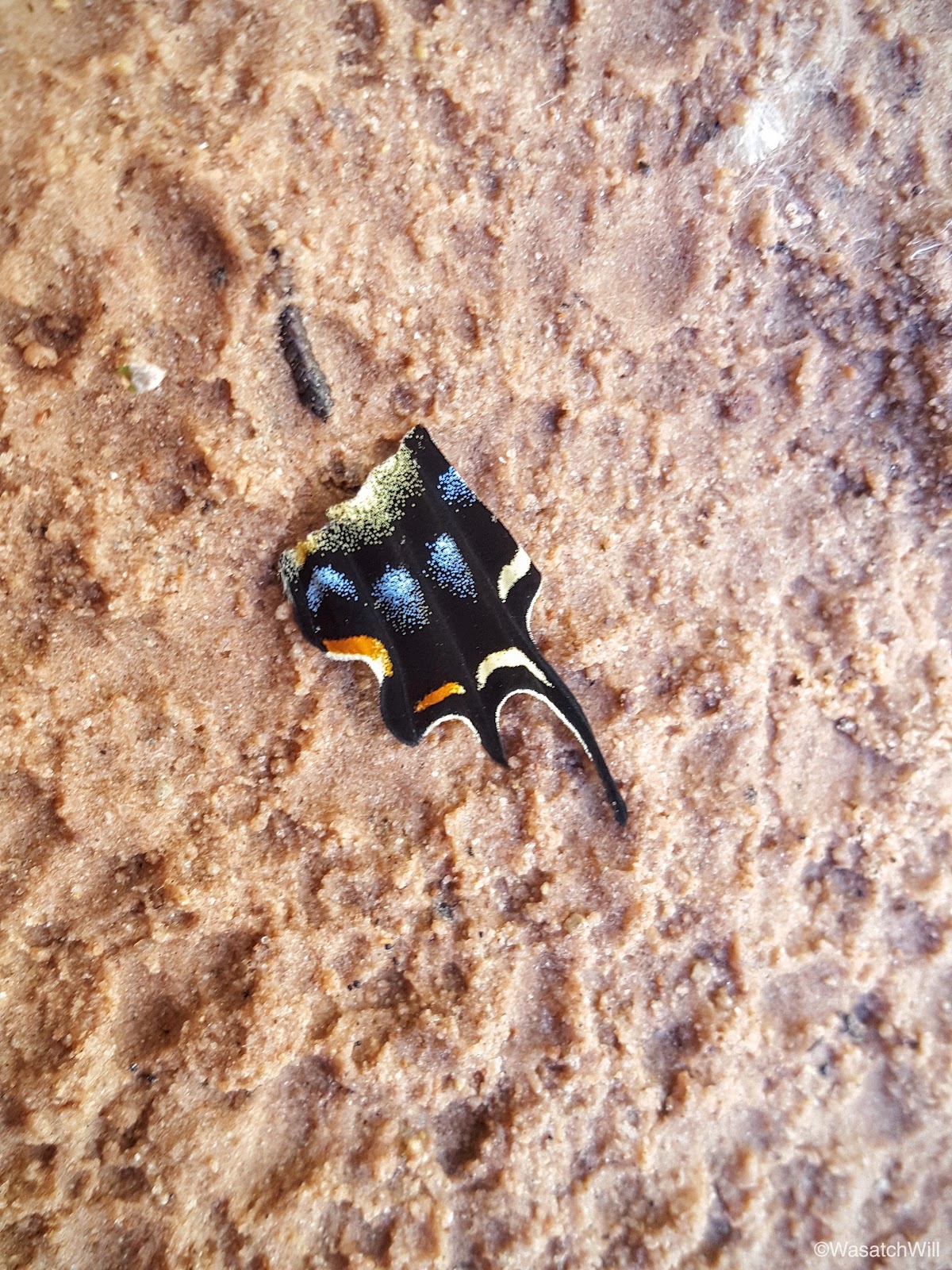
Also nearby was a wing fragment of what must have been a beautiful butterfly.
After resting up once more, we continued on, negotiating our way around and through the meandering water before it would ultimately disappear again further on down the canyon.

Sometimes you just have to be impressed and admire where vegetation can take root, especially in a desert.


The geological features and textures never ceased to astound us on both the big and small scale.
Moving on, we discovered another little arch high above.
Taking moments at times to pause and look behind revealed some nice scenes as well. One such moment presented a view of what I'm now calling "The Tree of Life".

I'll say it again. The contours and cavities often found along southwestern desert canyon walls is nothing short of amazing.

Another cavity in the rock presented an opportunity to get a little creative with the camera.


I'll never tire of the contrast between pockets of green against the red rock. It's a bonus when there is a water feature that cuts through it.

Large and tall cottonwoods continued to dot the canyon.
Yet another hole through the rock.

Eventually it was time to say farewell to the water we had been following as it would soon disappear into the earth.
After that it remained a dry wash the rest of the way up until the end.
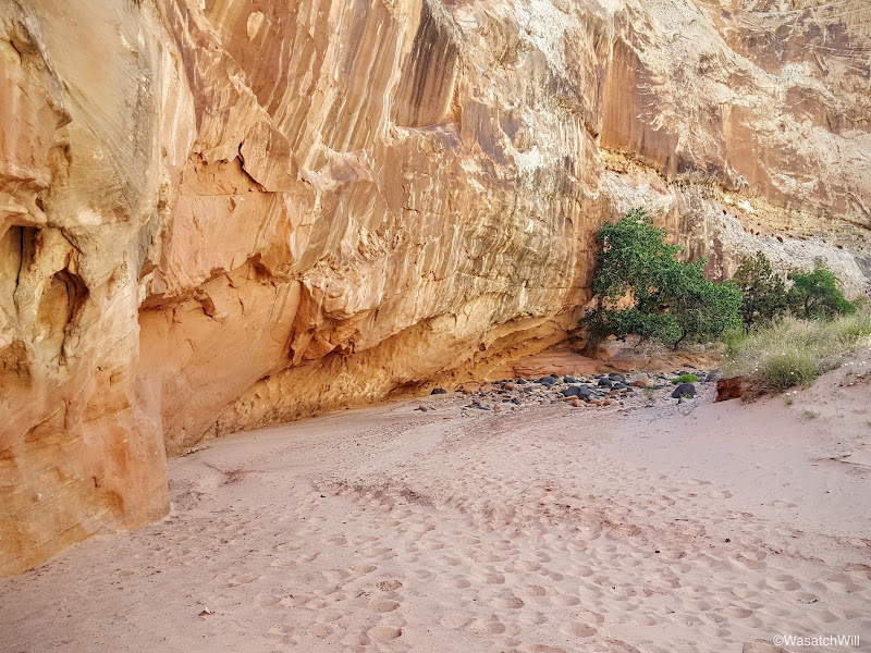
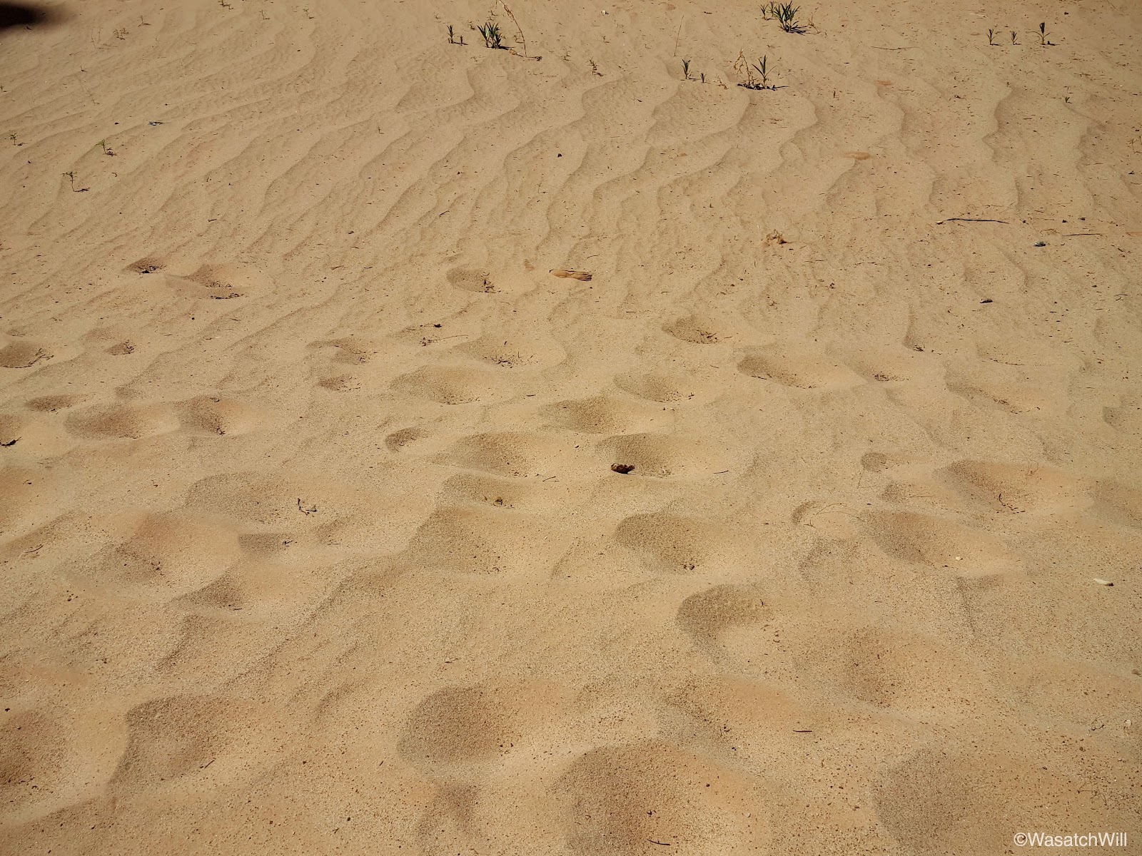
At one point the wash became quite sandy.
There were reminders that is environment can be unforgiving.

Near the end of the canyon, it narrows up one last time and features a fairly large alcove.


Only a few more bends before it would be more obvious we were nearing the end.

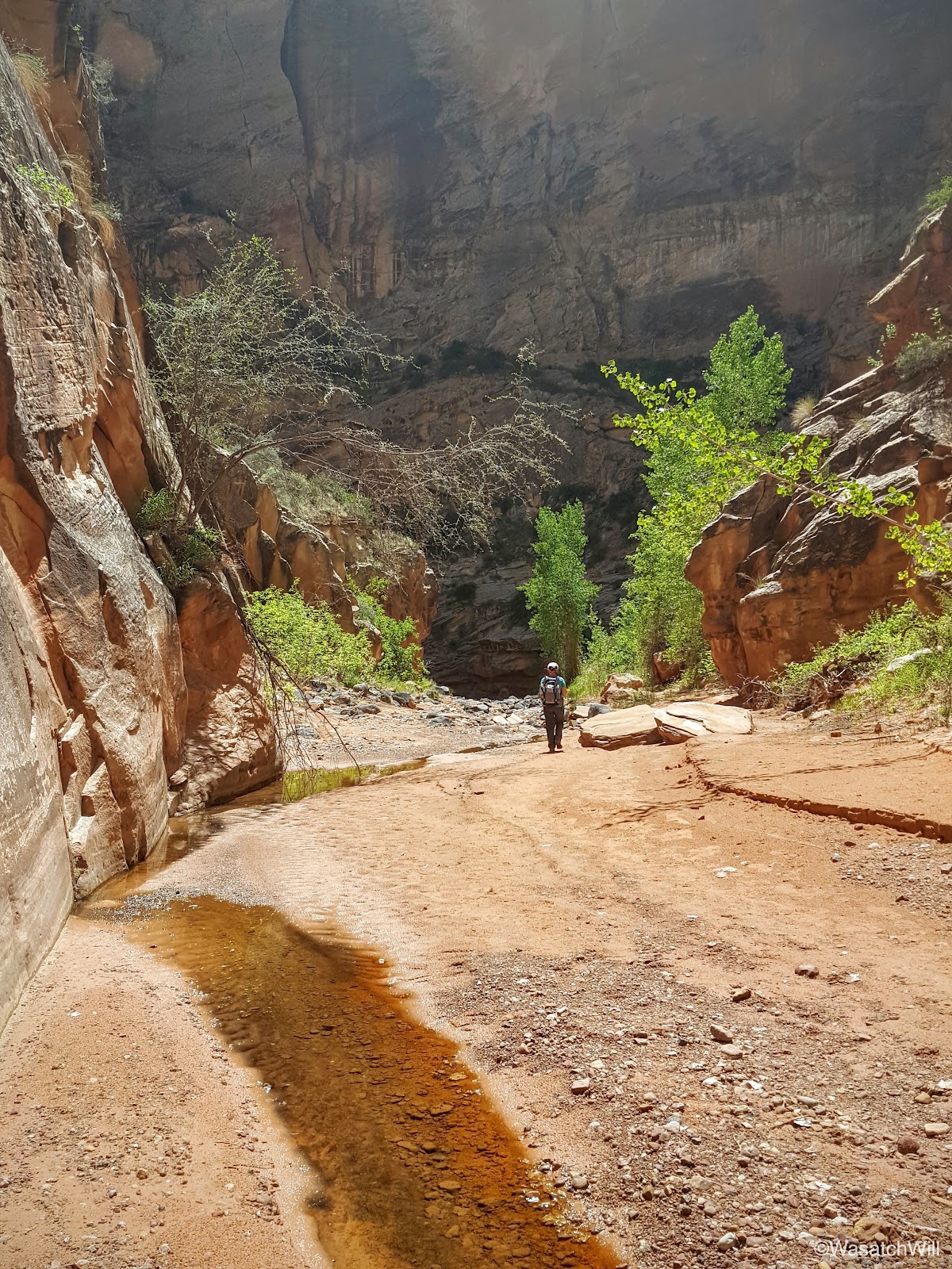
Once out of that final stretch of narrows, the canyon opened up for the final time and transformed into another thick of cottonwoods. As we weaved through the final thick of cottonwoods near the mouth of the canyon, we could hear the cars cruising along the highway. Once through there, there was a bit more water that appeared in the wash and signaled the Fremont River was just ahead about another hundred yards.


It was a hot day and the last couple of miles through the end of the canyon was considerably hot. That made standing on the banks of the Fremont all the more joyous. Still flowing with some spring runoff, its water was running nice and cold.
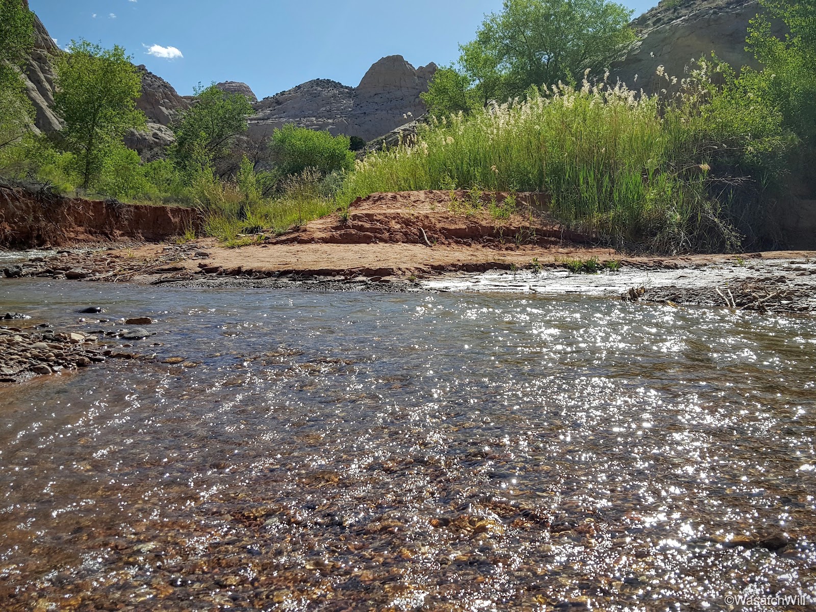
All we had left to do to reach our car was to ford the river and walk up the road another one or two hundred yards.
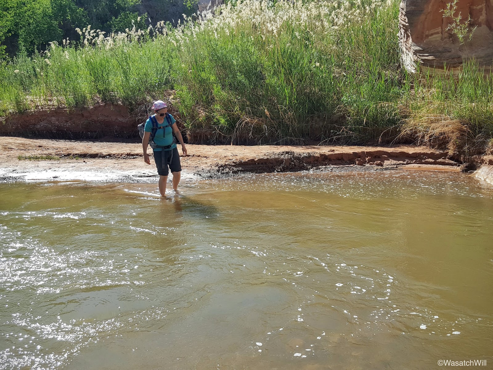

Having to cross the river made for a perfect grand finale to the hike on such a hot day.

We arrived back at the car without incident and drove back up the road for Torrey to reunite with our children. That evening, we took the kids out for some more wandering. We chose a dog-friendly spot on Sulphur Creek outside of the park we hadn't been to yet and the kids immediately fell in love with it. Once again, we were blessed to find ourselves in what felt like another slice of Heaven of our very own.


All of our kids love to hunt for unique and interesting rocks. Here's one that our daughter, Willow, found with quite a bit of texture across it.

I wandered down stream a bit with our youngest, Everett, to explore what was down around a few bends.
We turned around after a little way to rejoin the family back upstream.
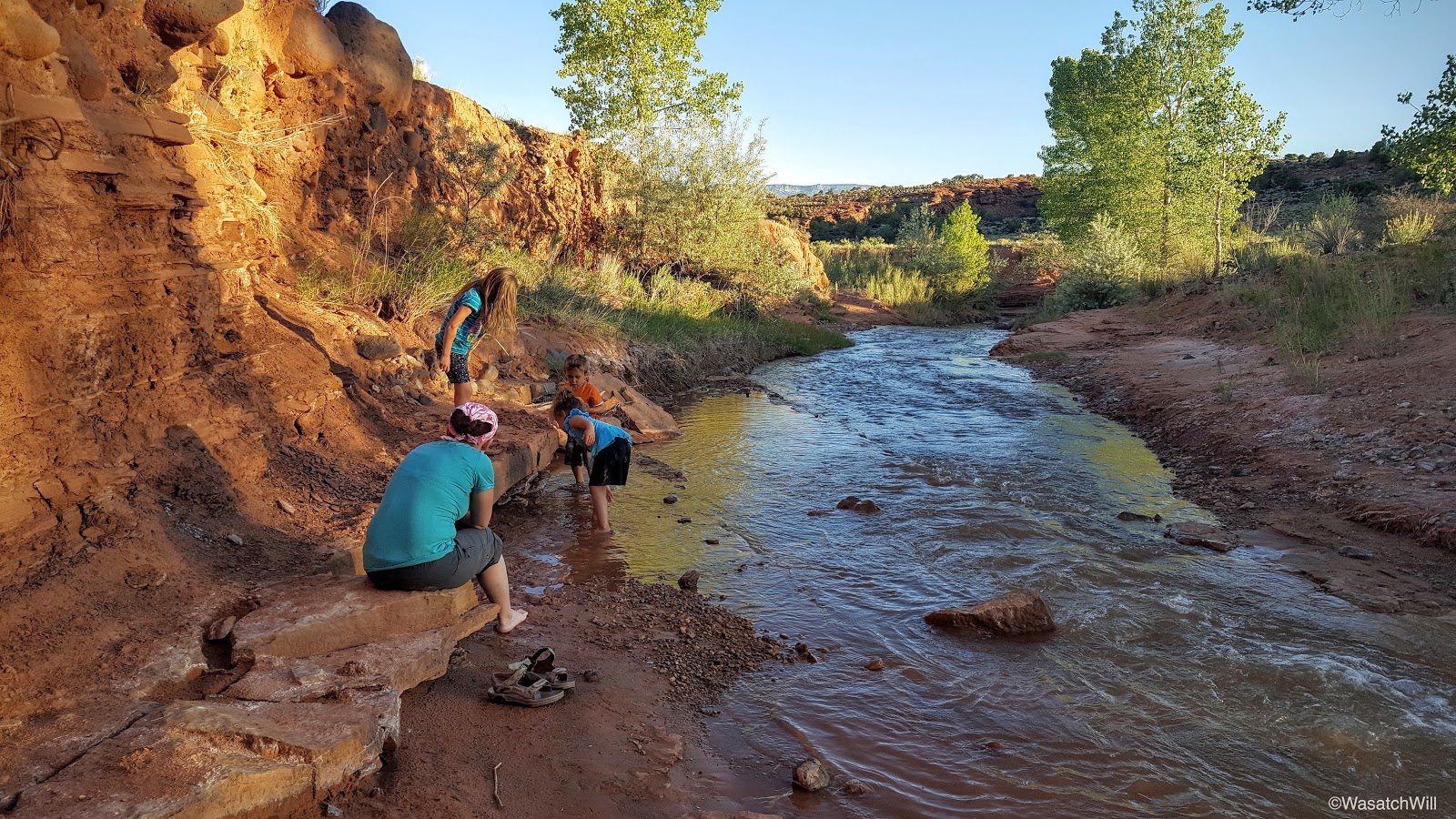

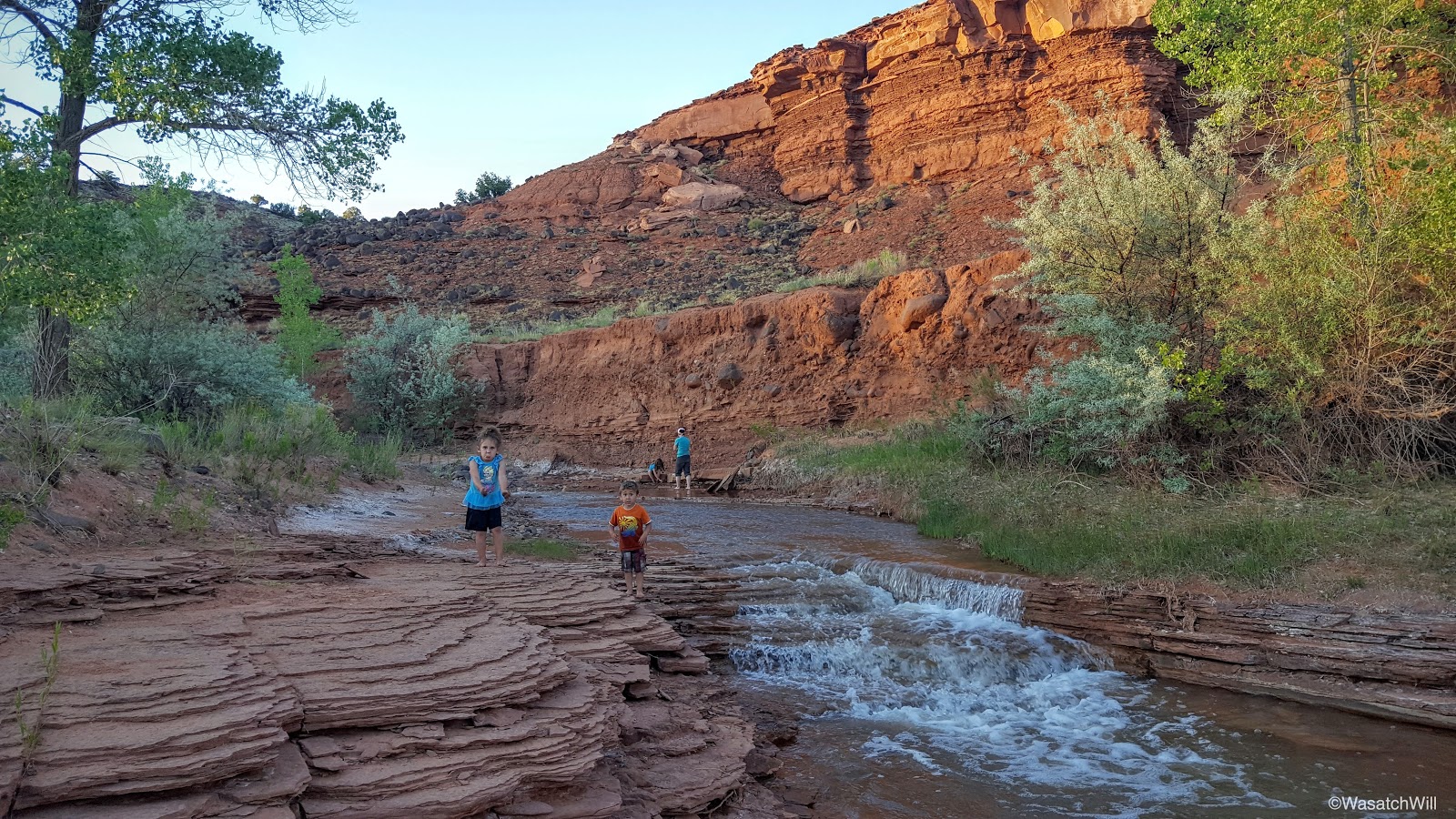
This was about as close as Sophie dared to get to the water.

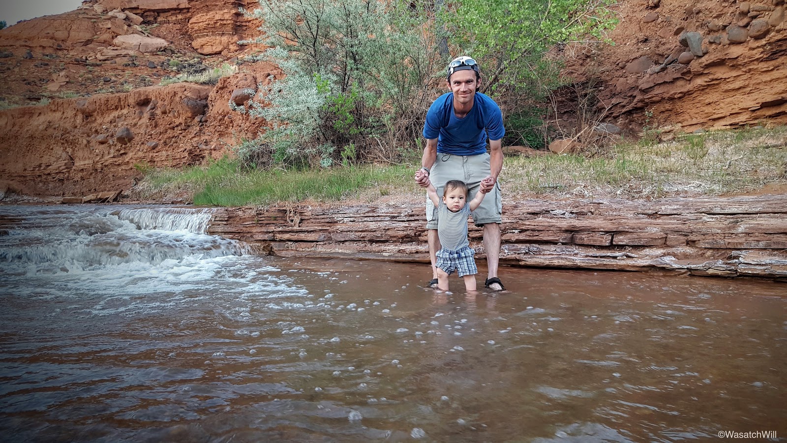
At last, it was Everett's turn to get his feet wet a bit.
Needless to say, this is a new favorite spot I anticipate we'll be returning to many more times on our visits to Torrey.

We would have loved to stay longer, but dusk was starting to settle upon us. And with that, we wrapped up the trip with one final night back at Jessica's parents' place before returning home to Provo the next morning.
Once again, we've come to accept it as a real blessing to have family members to visit that live among such incredible landscapes with so many amazing areas to wander around and explore within just a few minutes of driving. This was another trip with time well spent with family and the great outdoors.
Edit: Amended a paragraph early on to give it more clarity and context and fixed a typo.
Last edited:


