Udink
Still right here.
- Joined
- Jan 17, 2012
- Messages
- 1,748
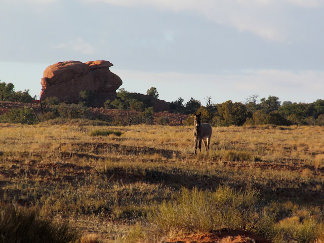
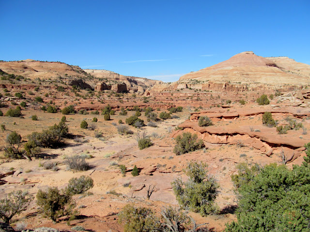
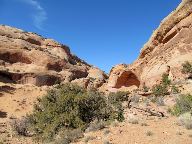
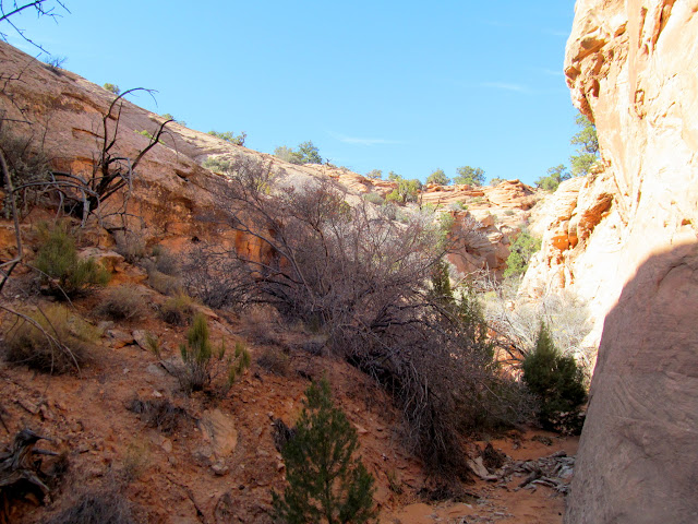
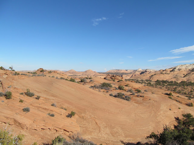
The Lost Park Canyons are some of the many unnamed tributaries to upper Horseshoe Canyon. These particular canyons head near Lost Park, but don't have an official name on the USGS topo maps. My exploration of the area began in Google Earth, though I learned about some nearby petroglyphs from a guidebook. I left home very early on Friday morning and began hiking at 8:00AM, just before the sun peeked through some clouds after sunrise. I initially walked down an old, closed dirt road that's now only used by cattle. I feel sorry for the BLM employee who had to drag logs and dead trees onto the old road to block it off for the entire 1.5 miles (and probably more) that I hiked along it, since the surrounding land is so flat and wide-open that any ATV or OHV could effortlessly drive around their feeble road blocks. For the cows and me, it was quite easy to walk around the hundreds of logs and trees in the old road. I eventually left the road and checked out a brush corral near the edge of the canyons. While walking cross-country, a lone wild burro was walking parallel to me, watching me intently but being careful not to get too close.
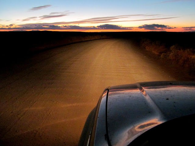
Heading east before sunrise
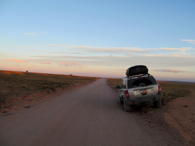
Nice parking job
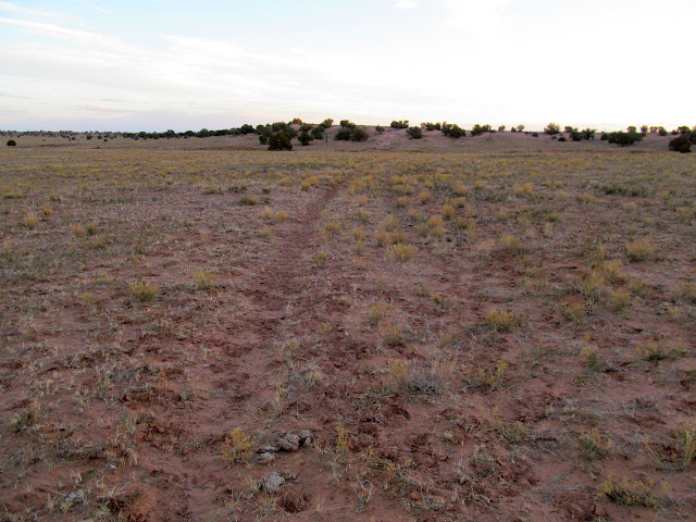
Old, closed road turned cow trail
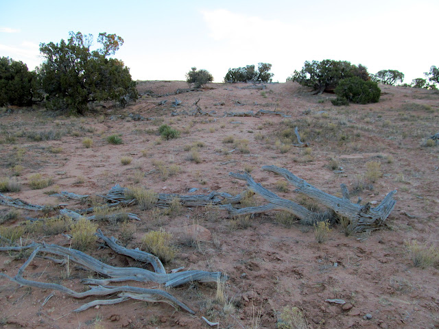
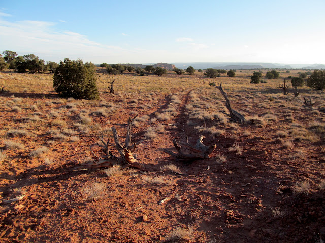
Trees and logs blocking the road
More road obstructions
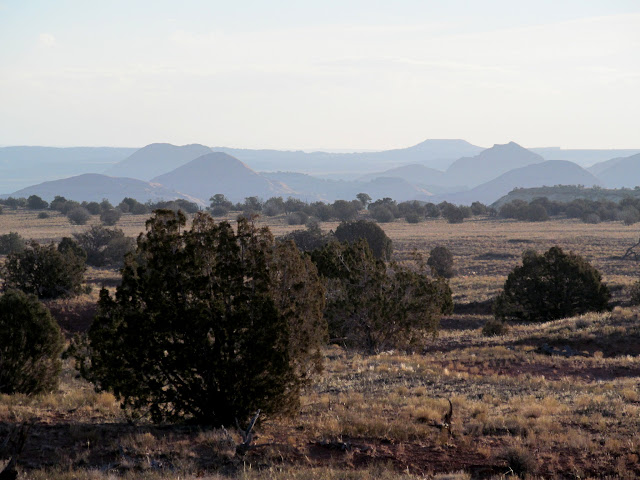
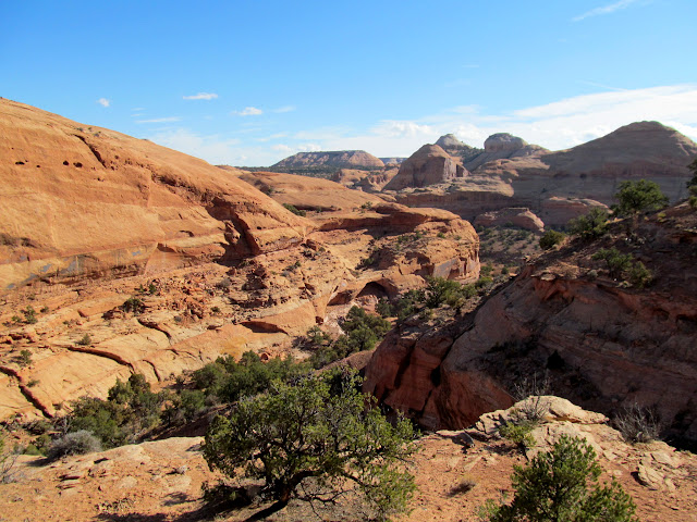
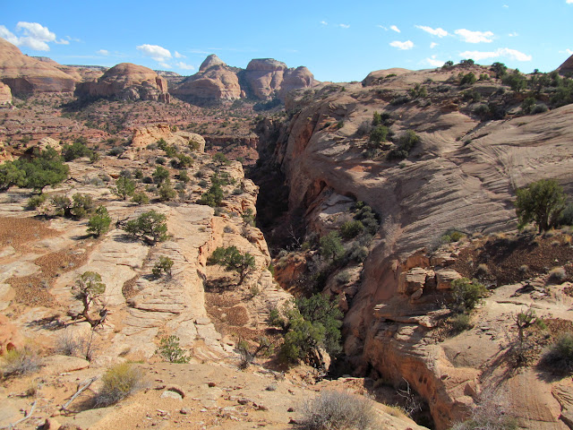
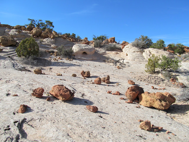
Sandstone domes in upper Horseshoe Canyon
Curious wild burro
Brush corral near the rim of the canyon
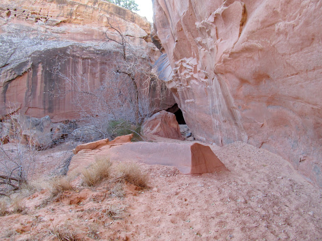
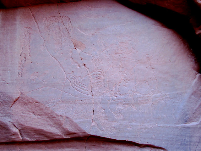
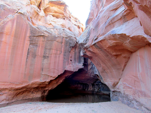
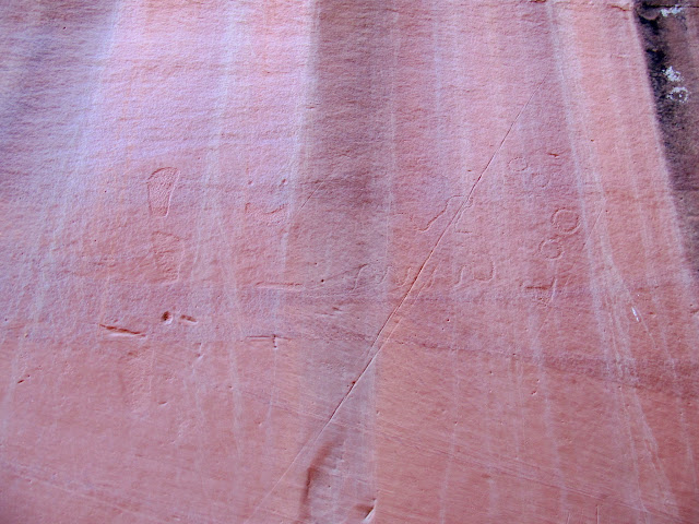
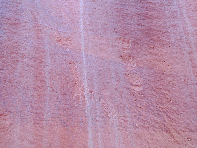
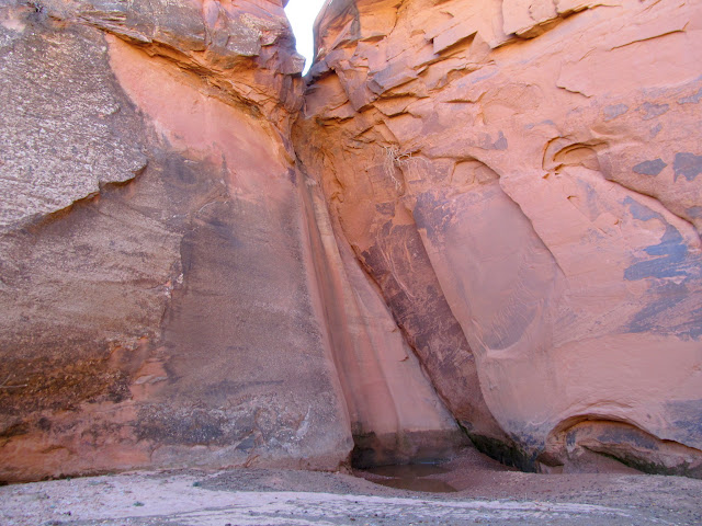
From the corral I worked my way down the slickrock into a small canyon that contained some petroglyphs. I wasn't sure what to expect, but there I found some typical and some unusual Fremont petroglyphs. On either side of a dryfall with a pool of water below it, there was rock art depicting normal Fremont motifs such as sandal prints, bear tracks, and bighorn sheep. Also depicted were curvilinear shapes, circles, and long lines consisting of many drilled holes.
Approaching the petroglyphs
Abstract animal glyphs
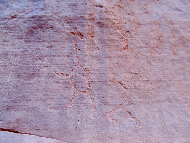
A few unusual figures
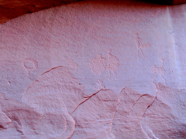
Unusual panel with bighorn sheep decreasing in size from left to right
Large pool below a dryfall
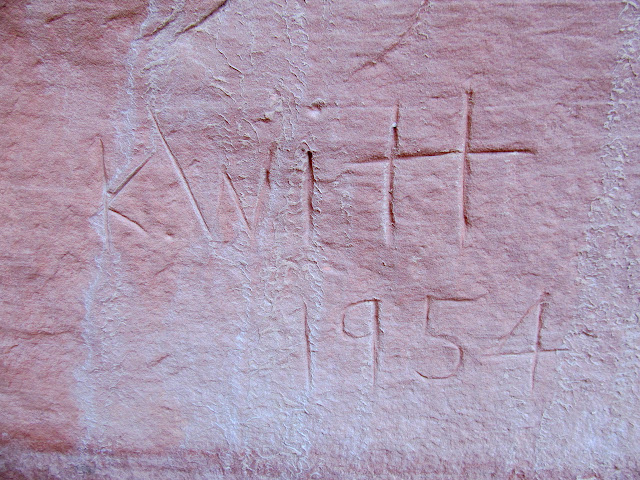
K. Witt inscription from 1954
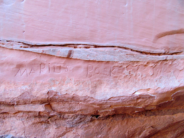
Inscription by Marius Bosk, 1910
Sandal prints, curvilinear designs, and circles
Hand prints and bear tracks
Water-filled slot above the pool
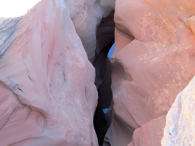
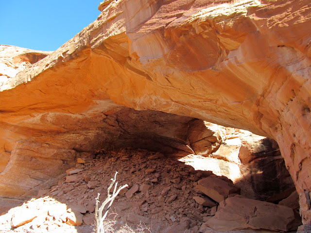
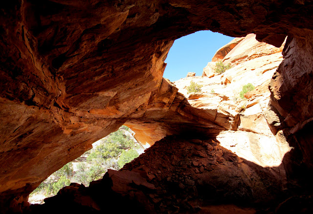
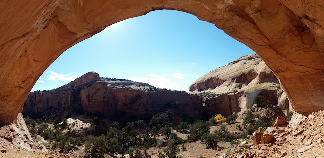
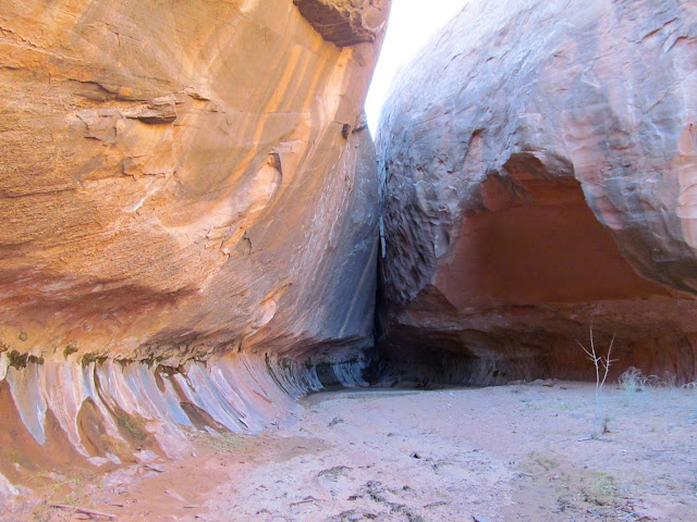
From the rock art, I worked my way overland toward what appeared to be a natural arch that I'd noticed in Google Earth. It turned out to be a natural bridge, with an obvious watercourse occasionally flowing through it. Alcoves on either side of the watercourse were deep and dry enough to possibly hold some cultural debris, but I found the area completely devoid of any such remains on the surface.
Above the canyon with the natural bridge
Natural bridge from across the canyon
Under the bridge
Natural bridge from inside the alcove
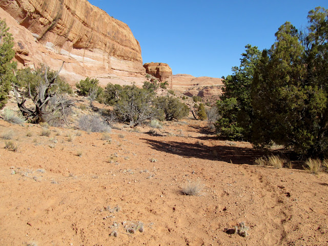
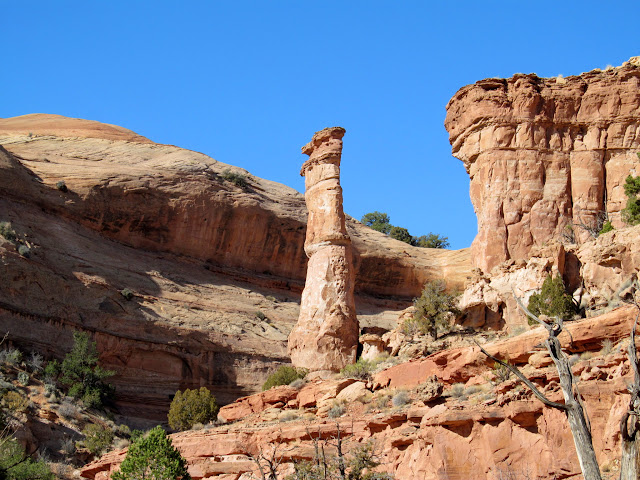
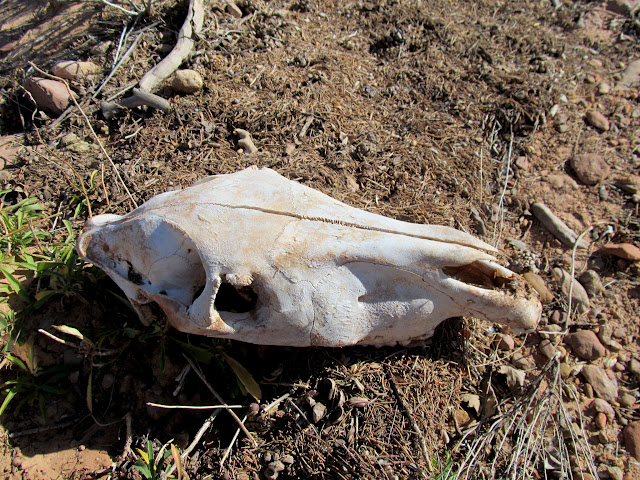
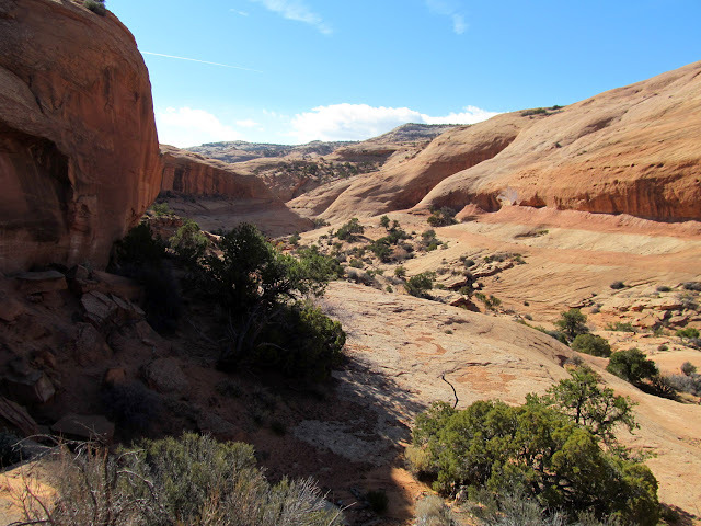
I hiked into Horseshoe Canyon, where I saw the skeletal remains of a wild burro and some recent horseshoe prints. I used my binoculars to check out some alcoves in a small side canyon but saw nothing obvious worth exploring.
Following a burro trail
Tall sandstone pillar
Burro skull
Horseshoe prints in Horseshoe Canyon
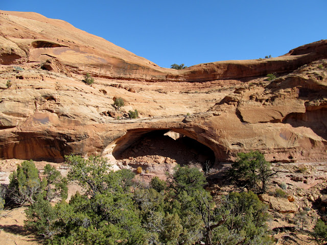
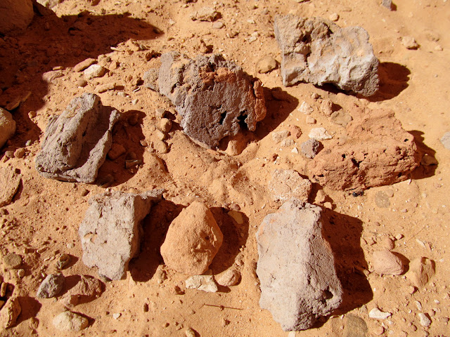
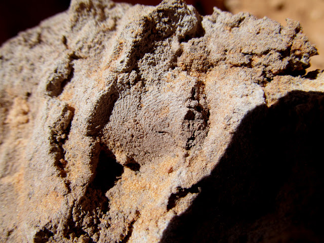
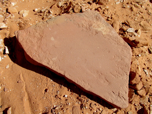
Up another side canyon I encountered an alcove that held many signs of prehistoric occupation. There were a couple of metates, and some adobe from what I would suppose was a storage cist. The chunks of adobe were scattered near some flat rocks, and fingerprints were visible in the dried mud. I would guess that somebody destroyed the cist in modern times, since nothing was left of its structure. Near the alcove was another dryfall with a pool of water below it.
View from one side canyon to another
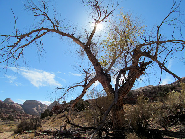
Cottonwood in Horseshoe Canyon
Approaching an alcove
Inside the alcove
Smooth metate
Pecked metate
Chunks of adobe
Fingerprint in adobe
Alcove view
Dryfall and small pool near the alcove
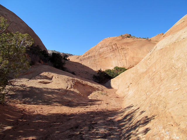
The next little while was nerve-wracking for me. The guidebook I'd read mentioned two possible exits from this canyon, but the first exit was clearly not possible without technical gear. I backtracked down the canyon and tried another exit--a narrow, brush-choked canyon. Three or four times I came across ledges which I could not climb either up or down, which left me yet again doubting the credibility of the guidebook author. Each time, however, after a short exploration I would find a route that seemed infeasible but that actually worked! After a stressful mile of hiking, I was relieved to eventually find a route to reach the petroglyphs which I'd first visited earlier in the morning. From there I knew it was a relatively easy three-mile trek back to my vehicle.
Narrow, brushy exit canyon
Above the exit canyon
View along my exit route
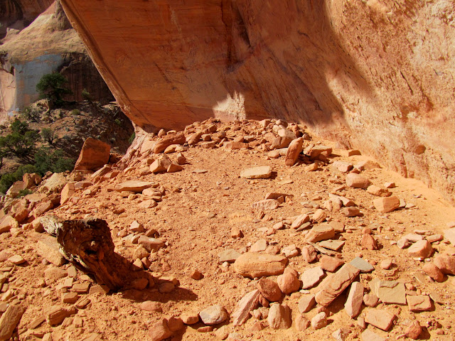
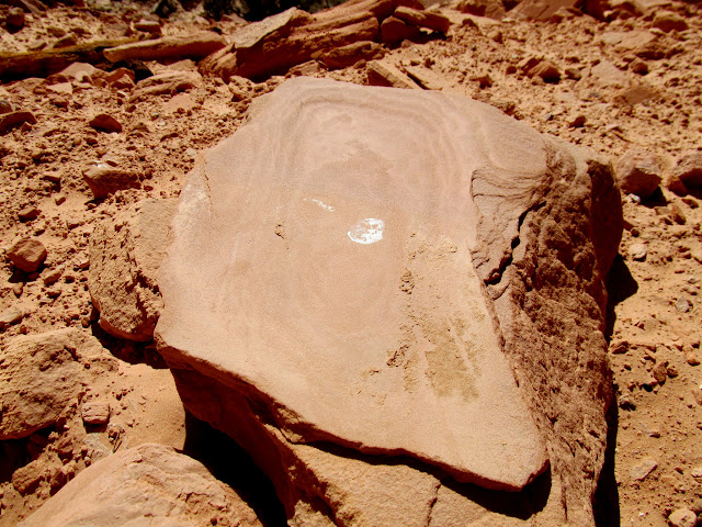
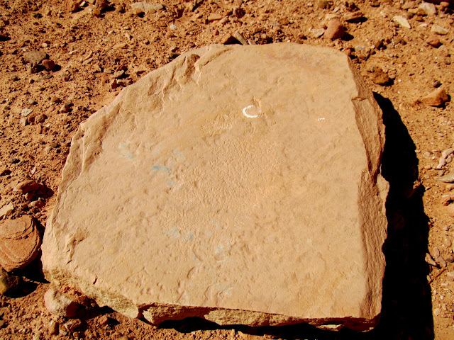
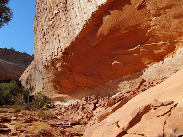
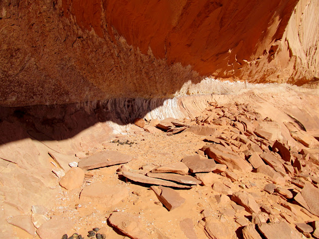
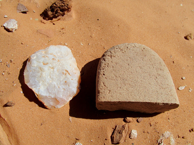
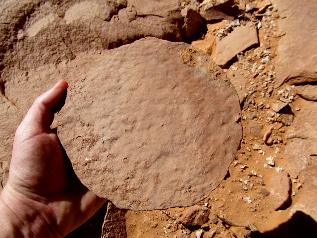
Before climbing out of the canyon system, I took a short detour to inspect an overhang that I had seen in Google Earth. Upon approaching the short drainage that contained the alcove, my spirits were bolstered upon seeing flakes of flint littering the sandy floor of the wash. At the alcove I found a round scraper made of flint, a broken mano, a few metates and metate fragments, and a nice, round, worked pot lid made of sandstone. I have never seen a pot lid in the wild, which makes me think not many people have visited this site in historic times. Again, nearby was a dryfall with a pool of water below it. If ever there was a formula for finding prehistoric habitation sites in the Horseshoe Canyon area, that's it!
Approaching another alcove
The alcove
Large, flat rocks in the alcove
Scraper and broken mano
Metate fragment
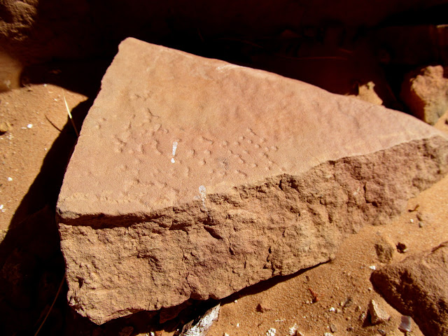
Shaped sandstone pot cover
Smooth metate
Yet another dryfall and pool
I was pretty exhausted before the climb out, but I still had 2.5 miles and 600 feet of elevation gain left before I reached my Jeep. Despite the uphill effort required before I could rest, I plunged ahead and tried to keep a fast pace. Again I saw the cute wild burro that I'd seen in the morning, but this time she appeared to be hanging out with a few cows. They all stared at me as I walked past. My GPS had registered 13.3 miles when I reached my vehicle, but after correcting for the poor signal in all the alcoves I'd visited, my total hiking distance was 11.5 miles over the course of 8.5 hours. Strangely, although I'd seen some pretty interesting stuff, I was still disappointed that I hadn't found any new Barrier Canyon Style pictographs. Perhaps during future explorations I'll find something more worth my while.
View during the climb out
Nearing the top of the Navajo Sandstone
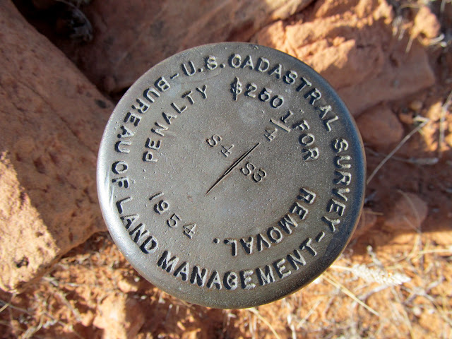
1954 BLM section marker
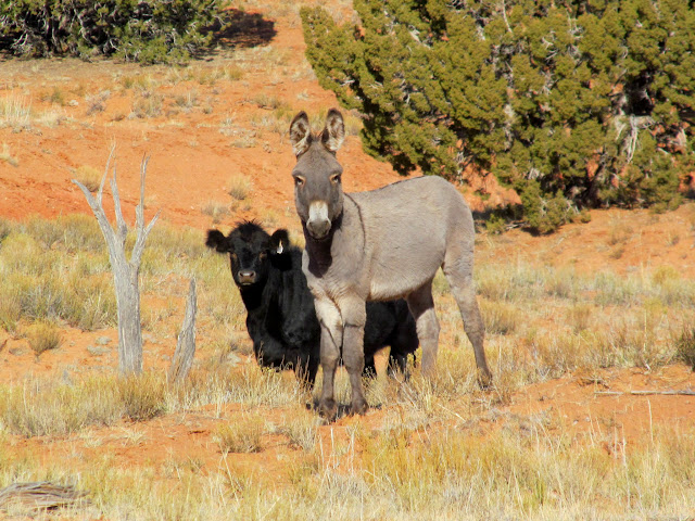
Cute burro and calf
Almost back to the Jeep!
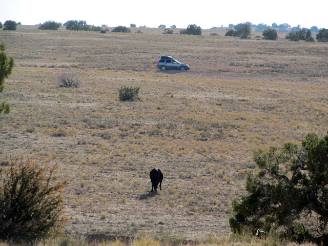
Photo Gallery: Lost Park Canyons
Heading east before sunrise
Nice parking job
Old, closed road turned cow trail
Trees and logs blocking the road
More road obstructions
Sandstone domes in upper Horseshoe Canyon
Curious wild burro
Brush corral near the rim of the canyon
From the corral I worked my way down the slickrock into a small canyon that contained some petroglyphs. I wasn't sure what to expect, but there I found some typical and some unusual Fremont petroglyphs. On either side of a dryfall with a pool of water below it, there was rock art depicting normal Fremont motifs such as sandal prints, bear tracks, and bighorn sheep. Also depicted were curvilinear shapes, circles, and long lines consisting of many drilled holes.
Approaching the petroglyphs
Abstract animal glyphs
A few unusual figures
Unusual panel with bighorn sheep decreasing in size from left to right
Large pool below a dryfall
K. Witt inscription from 1954
Inscription by Marius Bosk, 1910
Sandal prints, curvilinear designs, and circles
Hand prints and bear tracks
Water-filled slot above the pool
From the rock art, I worked my way overland toward what appeared to be a natural arch that I'd noticed in Google Earth. It turned out to be a natural bridge, with an obvious watercourse occasionally flowing through it. Alcoves on either side of the watercourse were deep and dry enough to possibly hold some cultural debris, but I found the area completely devoid of any such remains on the surface.
Above the canyon with the natural bridge
Natural bridge from across the canyon
Under the bridge
Natural bridge from inside the alcove
I hiked into Horseshoe Canyon, where I saw the skeletal remains of a wild burro and some recent horseshoe prints. I used my binoculars to check out some alcoves in a small side canyon but saw nothing obvious worth exploring.
Following a burro trail
Tall sandstone pillar
Burro skull
Horseshoe prints in Horseshoe Canyon
Up another side canyon I encountered an alcove that held many signs of prehistoric occupation. There were a couple of metates, and some adobe from what I would suppose was a storage cist. The chunks of adobe were scattered near some flat rocks, and fingerprints were visible in the dried mud. I would guess that somebody destroyed the cist in modern times, since nothing was left of its structure. Near the alcove was another dryfall with a pool of water below it.
View from one side canyon to another
Cottonwood in Horseshoe Canyon
Approaching an alcove
Inside the alcove
Smooth metate
Pecked metate
Chunks of adobe
Fingerprint in adobe
Alcove view
Dryfall and small pool near the alcove
The next little while was nerve-wracking for me. The guidebook I'd read mentioned two possible exits from this canyon, but the first exit was clearly not possible without technical gear. I backtracked down the canyon and tried another exit--a narrow, brush-choked canyon. Three or four times I came across ledges which I could not climb either up or down, which left me yet again doubting the credibility of the guidebook author. Each time, however, after a short exploration I would find a route that seemed infeasible but that actually worked! After a stressful mile of hiking, I was relieved to eventually find a route to reach the petroglyphs which I'd first visited earlier in the morning. From there I knew it was a relatively easy three-mile trek back to my vehicle.
Narrow, brushy exit canyon
Above the exit canyon
View along my exit route
Before climbing out of the canyon system, I took a short detour to inspect an overhang that I had seen in Google Earth. Upon approaching the short drainage that contained the alcove, my spirits were bolstered upon seeing flakes of flint littering the sandy floor of the wash. At the alcove I found a round scraper made of flint, a broken mano, a few metates and metate fragments, and a nice, round, worked pot lid made of sandstone. I have never seen a pot lid in the wild, which makes me think not many people have visited this site in historic times. Again, nearby was a dryfall with a pool of water below it. If ever there was a formula for finding prehistoric habitation sites in the Horseshoe Canyon area, that's it!
Approaching another alcove
The alcove
Large, flat rocks in the alcove
Scraper and broken mano
Metate fragment
Shaped sandstone pot cover
Smooth metate
Yet another dryfall and pool
I was pretty exhausted before the climb out, but I still had 2.5 miles and 600 feet of elevation gain left before I reached my Jeep. Despite the uphill effort required before I could rest, I plunged ahead and tried to keep a fast pace. Again I saw the cute wild burro that I'd seen in the morning, but this time she appeared to be hanging out with a few cows. They all stared at me as I walked past. My GPS had registered 13.3 miles when I reached my vehicle, but after correcting for the poor signal in all the alcoves I'd visited, my total hiking distance was 11.5 miles over the course of 8.5 hours. Strangely, although I'd seen some pretty interesting stuff, I was still disappointed that I hadn't found any new Barrier Canyon Style pictographs. Perhaps during future explorations I'll find something more worth my while.
View during the climb out
Nearing the top of the Navajo Sandstone
1954 BLM section marker
Cute burro and calf
Almost back to the Jeep!
Photo Gallery: Lost Park Canyons