Loop on and around the Fold

Kullaberg63

Member
Joined
Mar 6, 2014
Messages
629
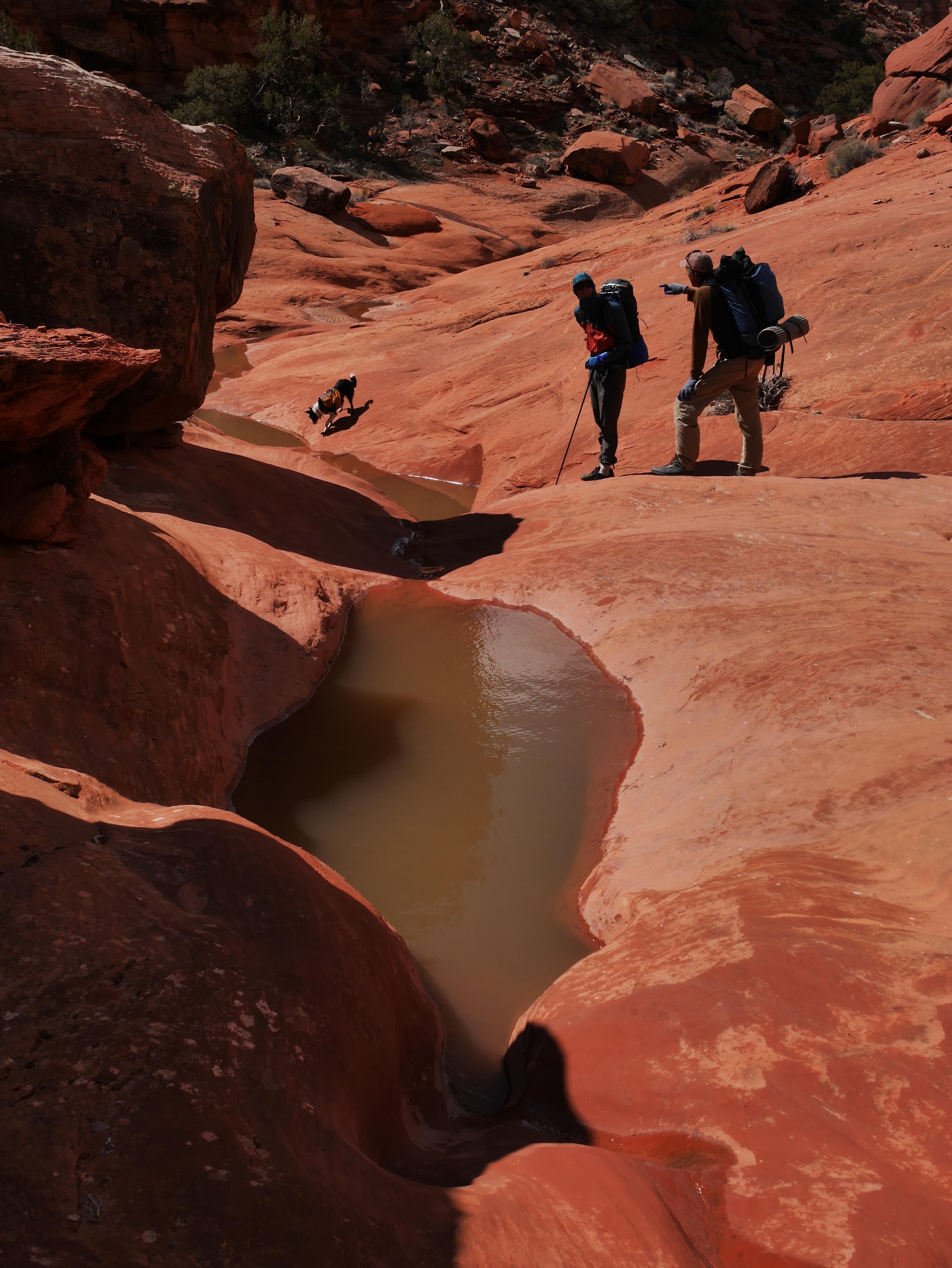
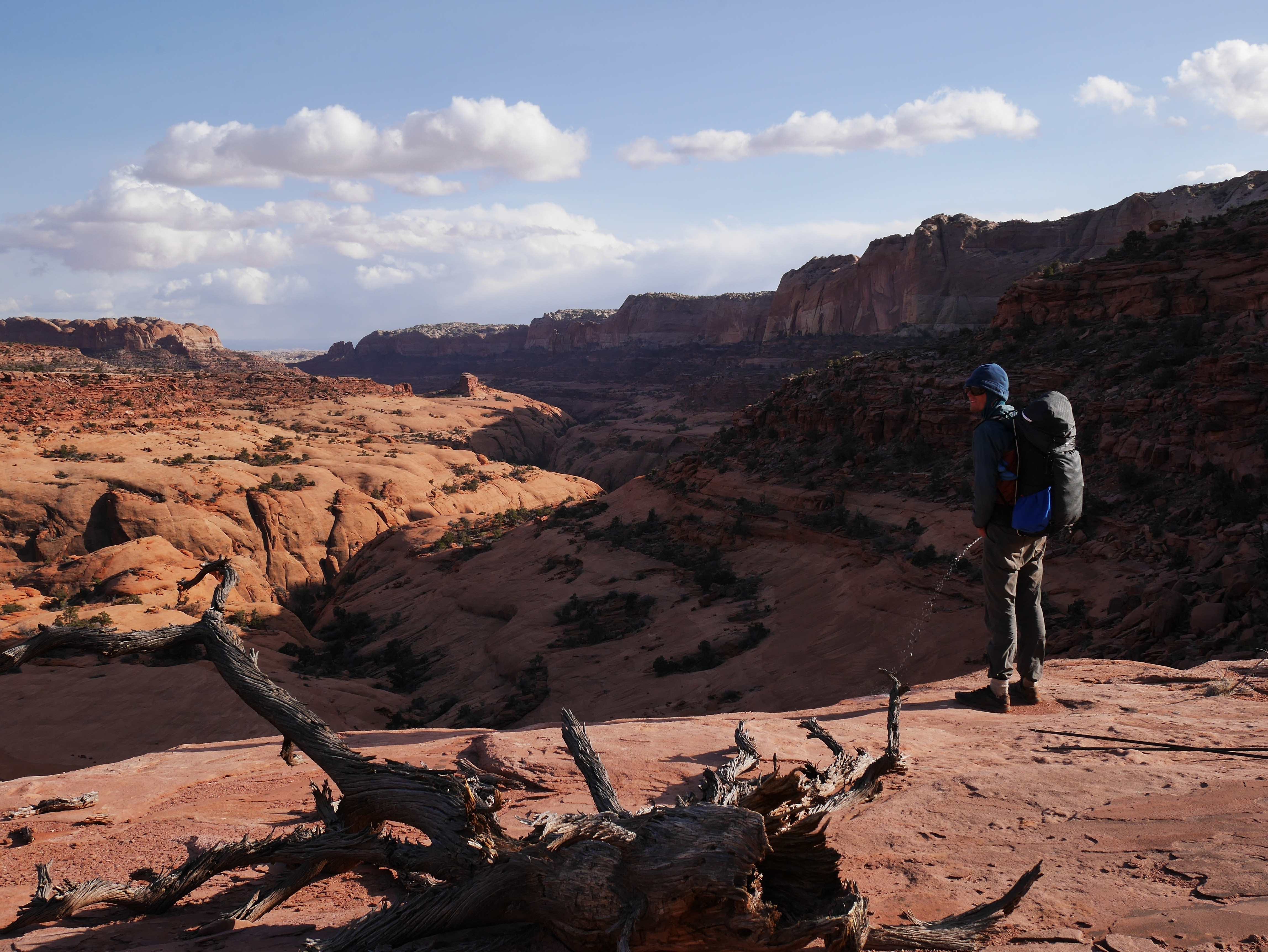
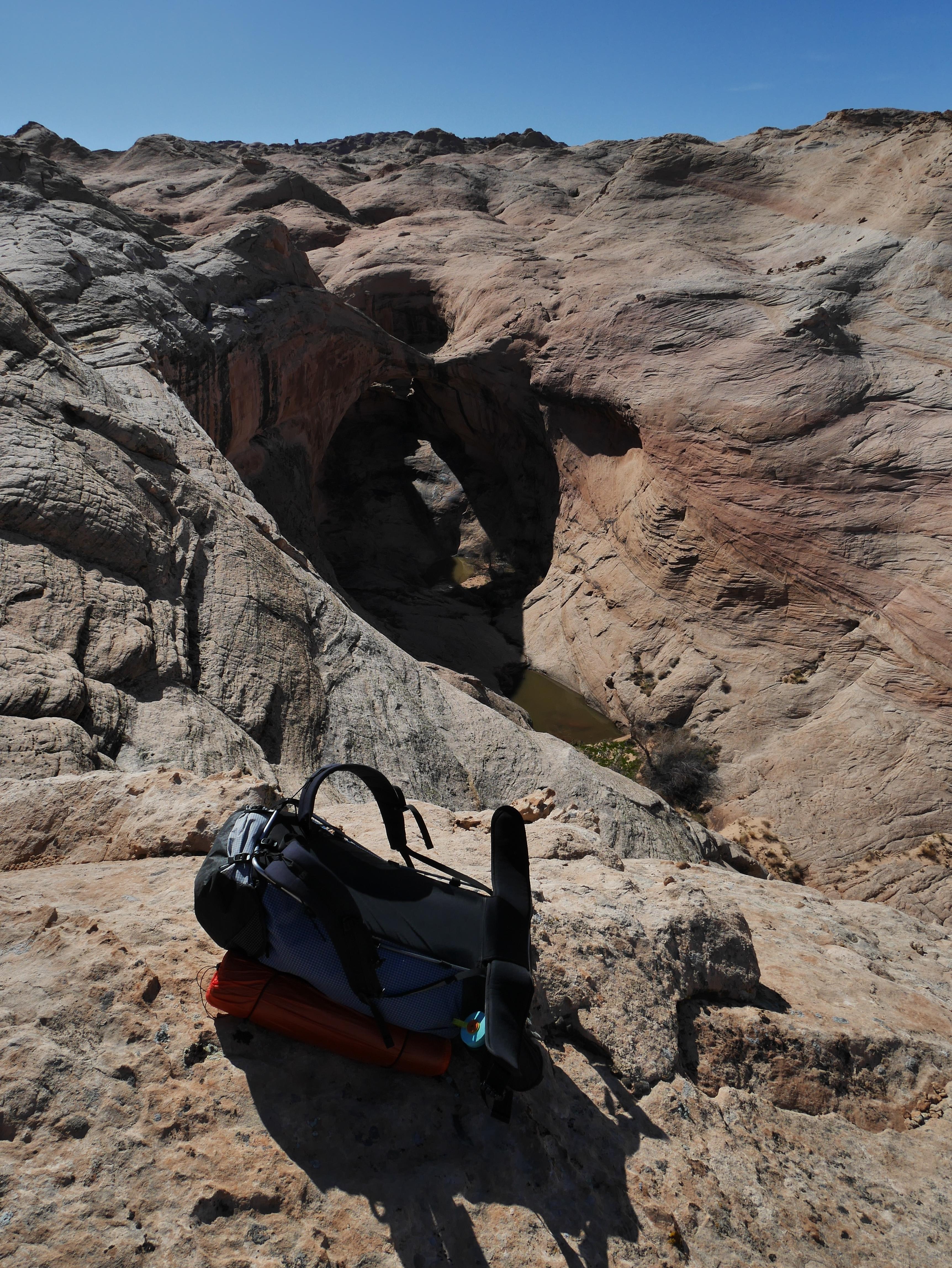
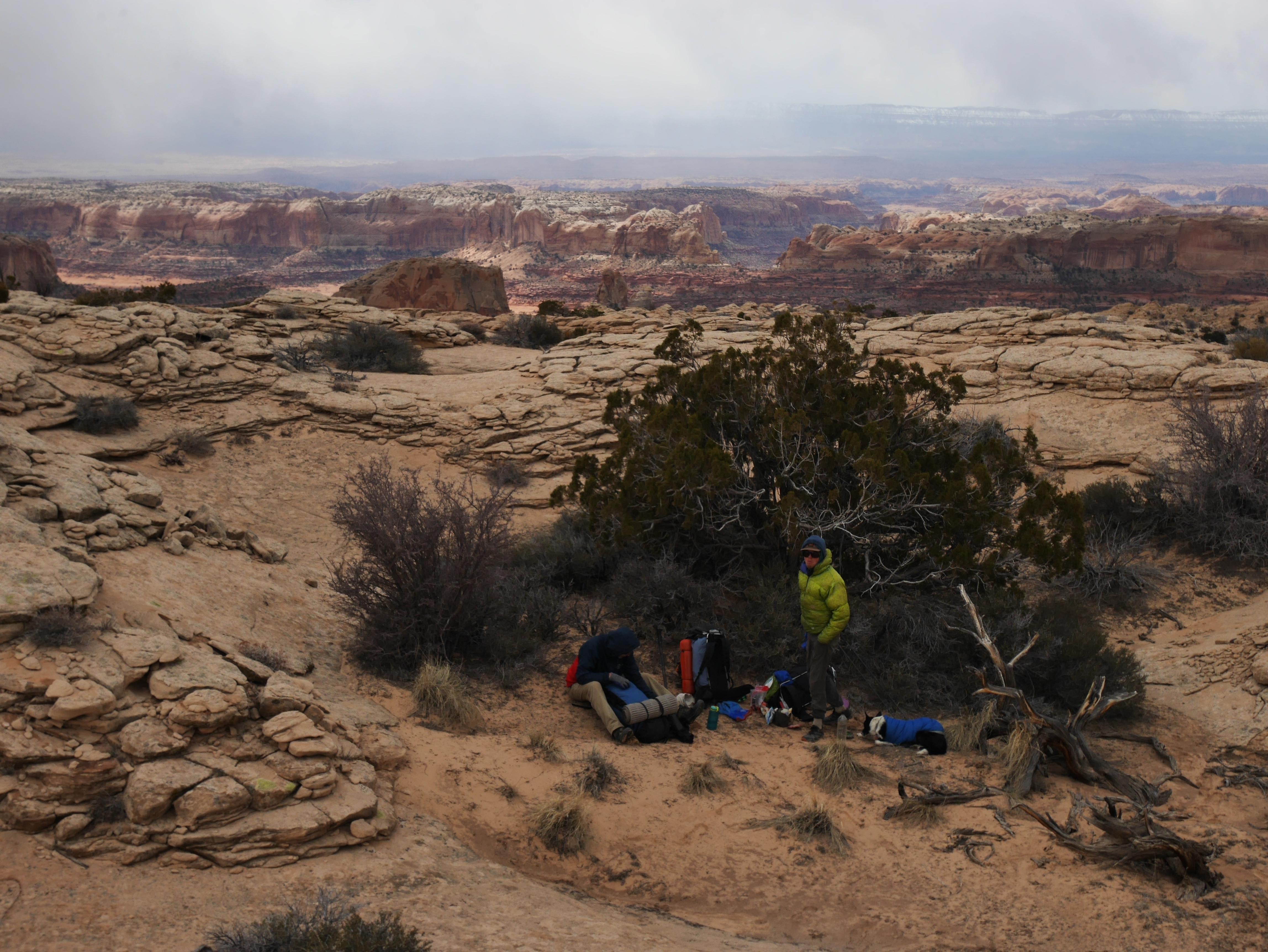
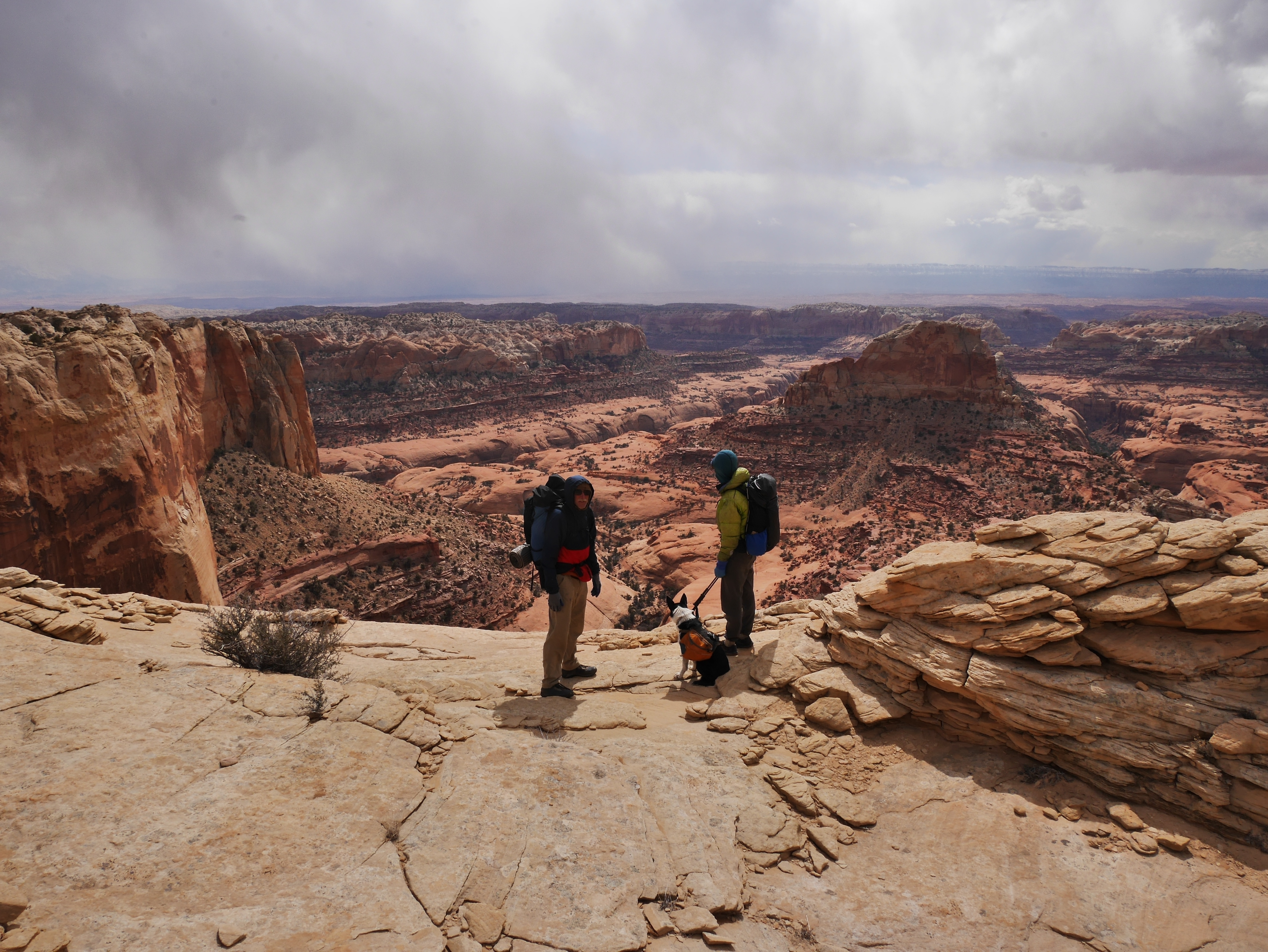
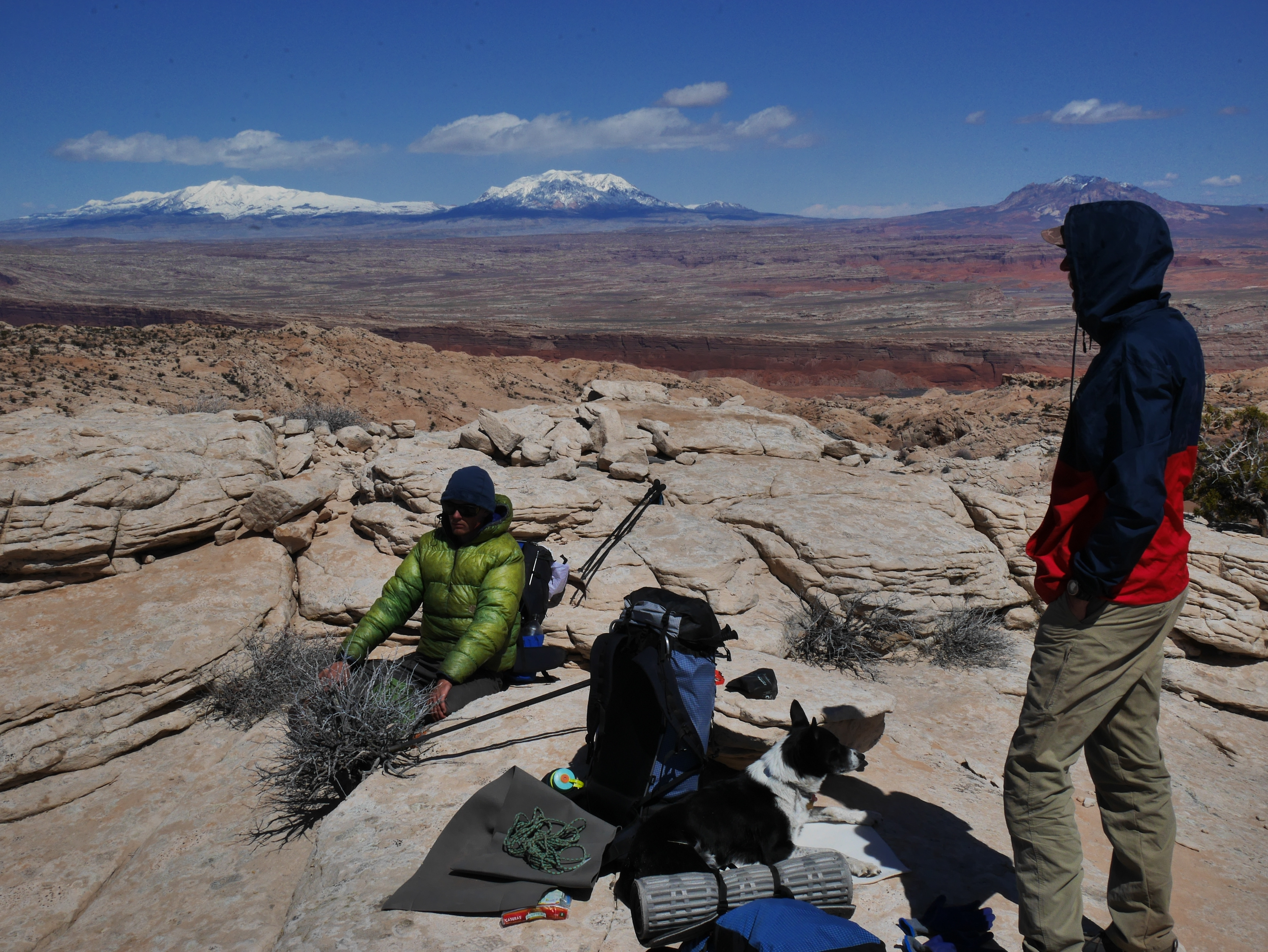
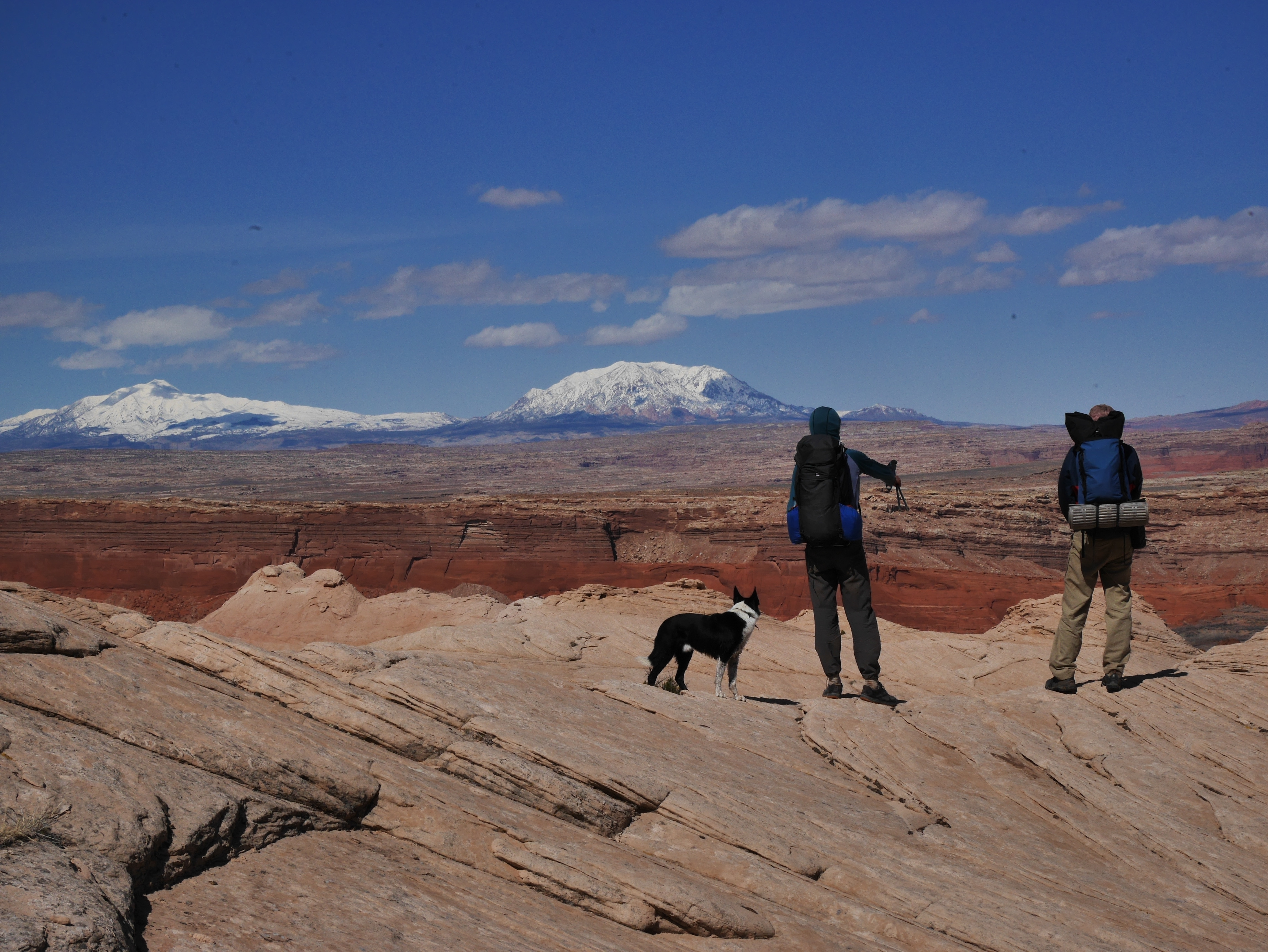
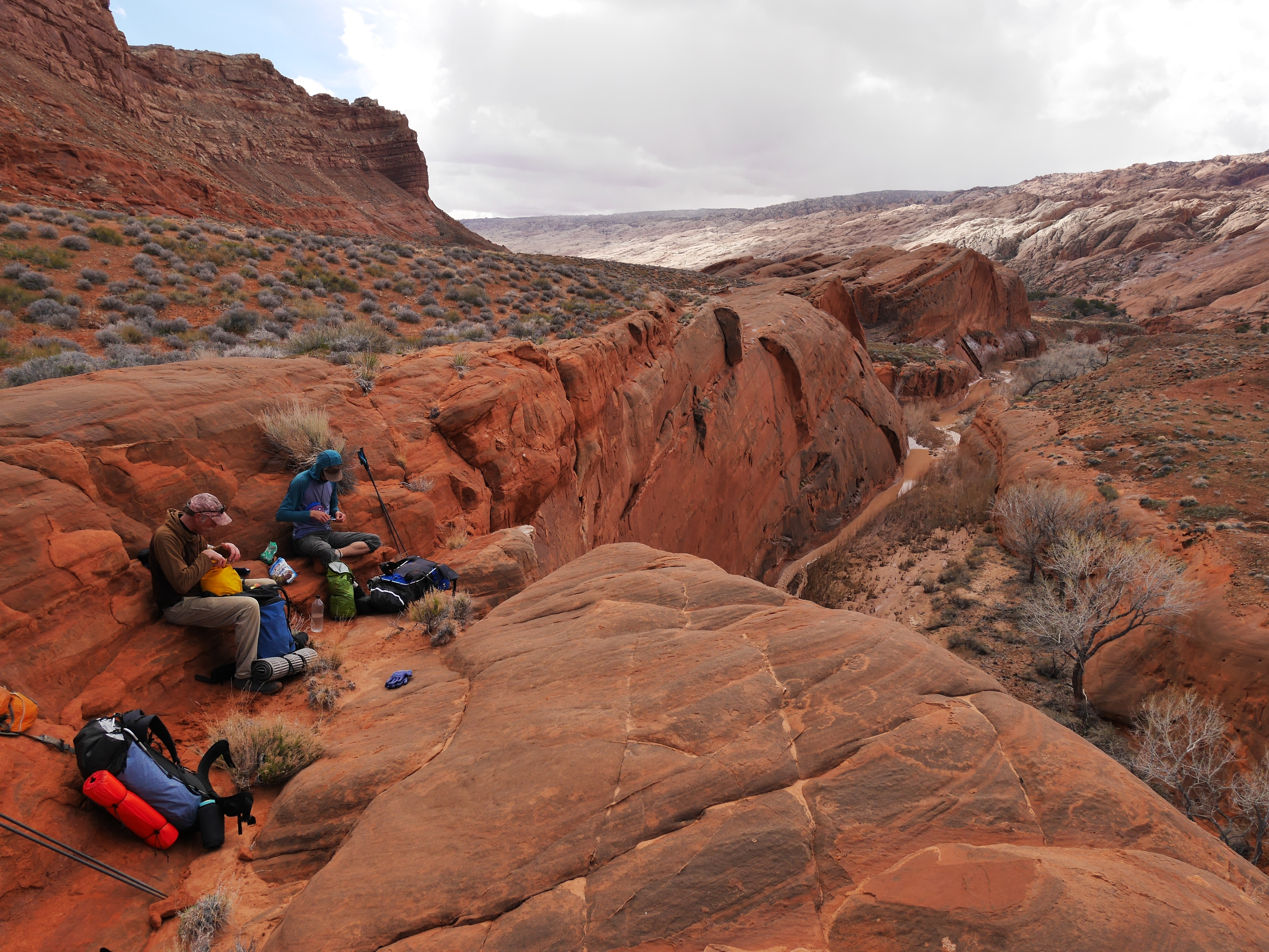
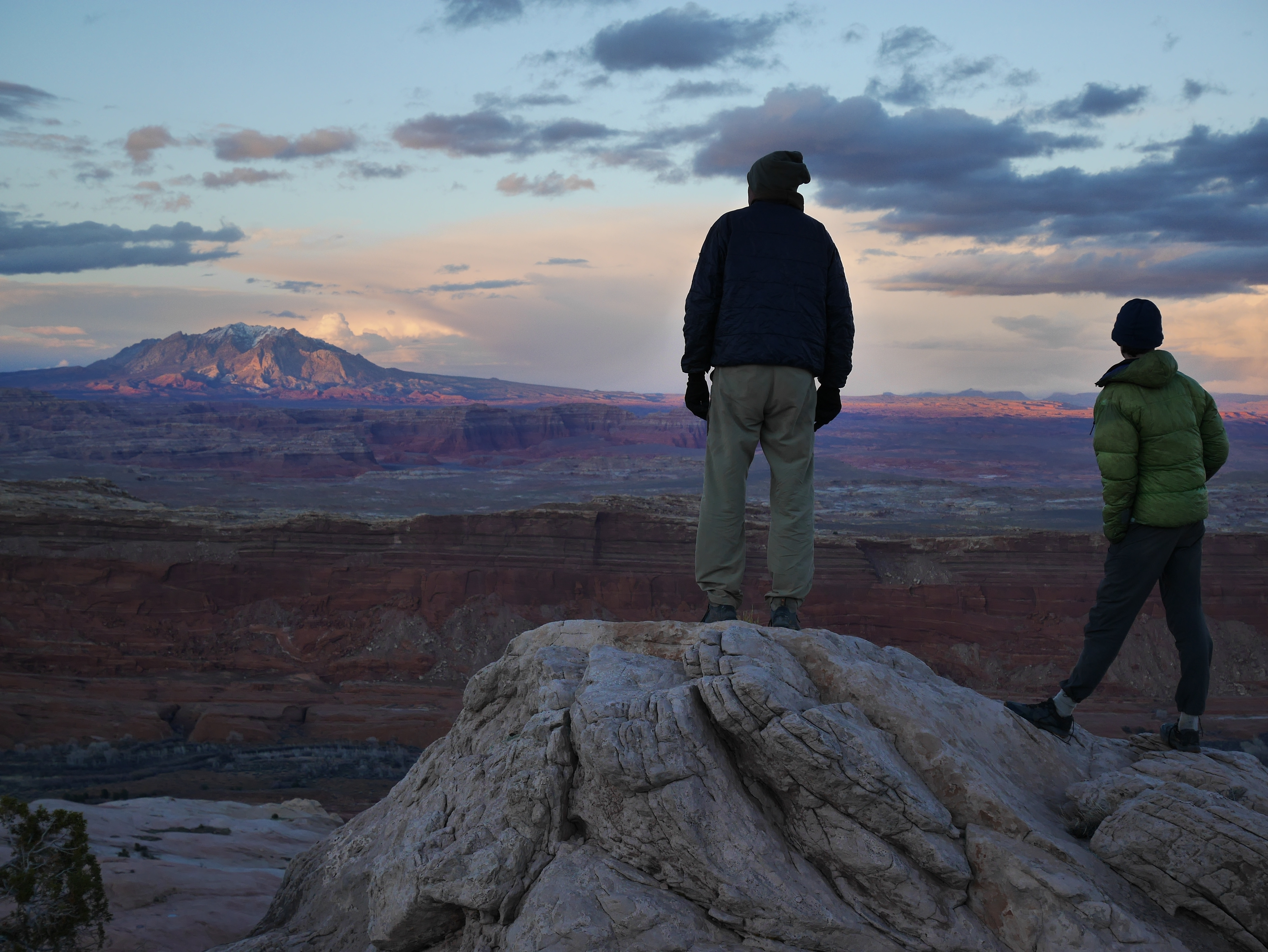
We started on the east side near the Burr Trail, crossed Hall's Creek and the Fold, then completed a route including among others Stevens, Fold, Prima, Donna and Georges Camp canyons before re-climbing the Fold further north. Once up there we traversed the spine south over Cliff and Hall before finding a complex route down and back to the car.

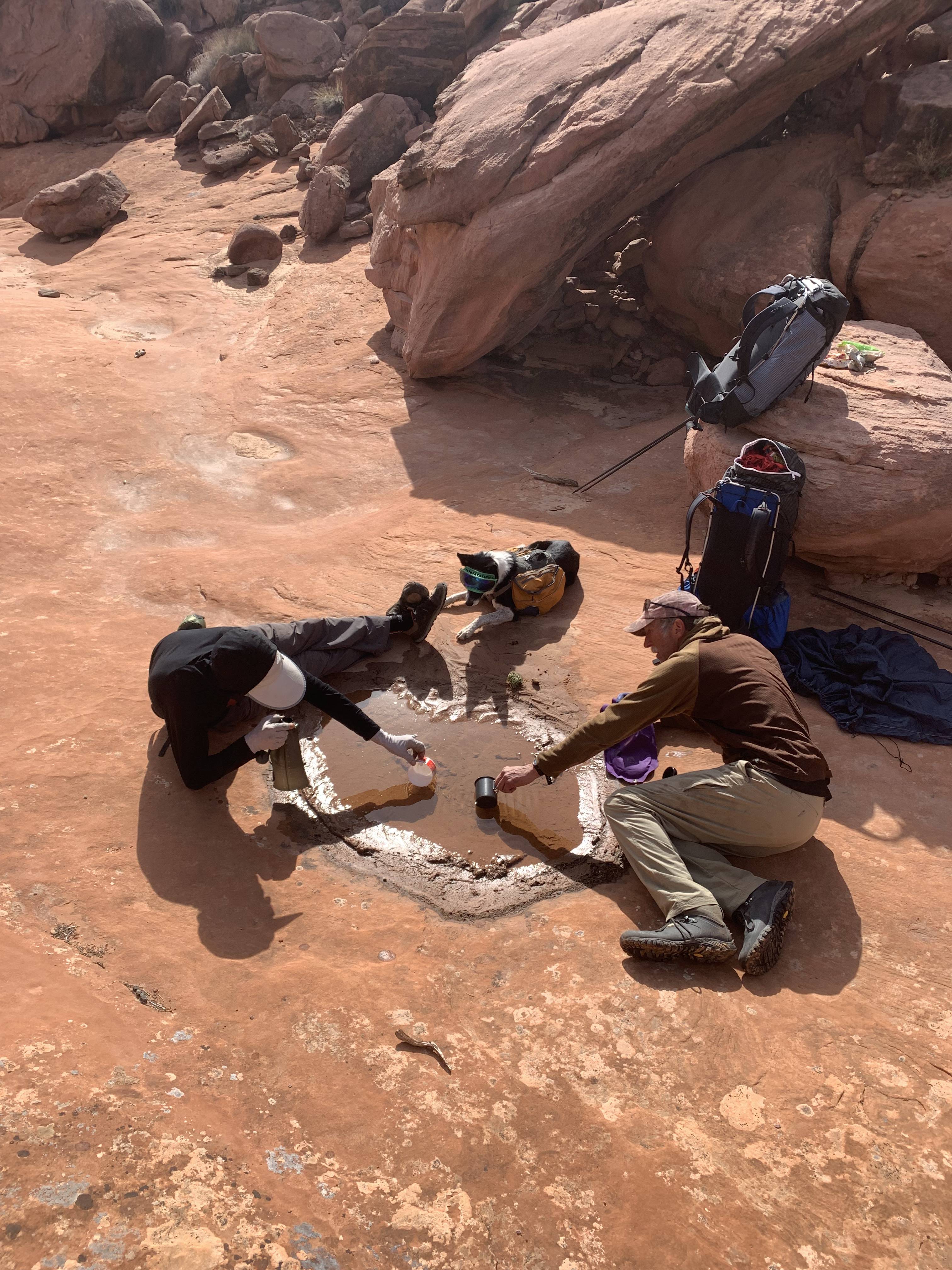
Six days and 70 some miles. Saw no other people car to car. Due to exceptional conditions following large flash floods we had plenty of water and unseasonably cold weather down to 18F or so.

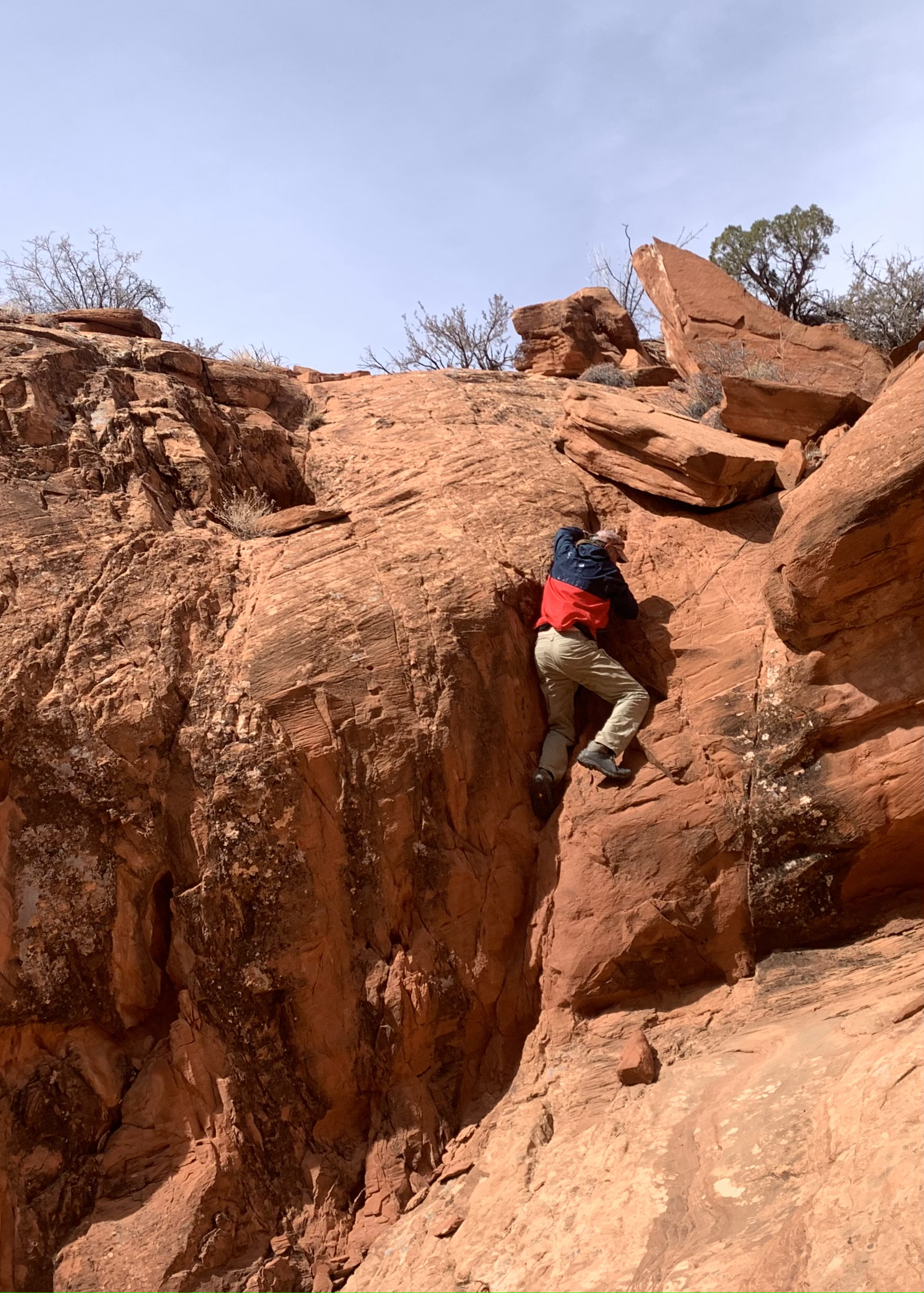
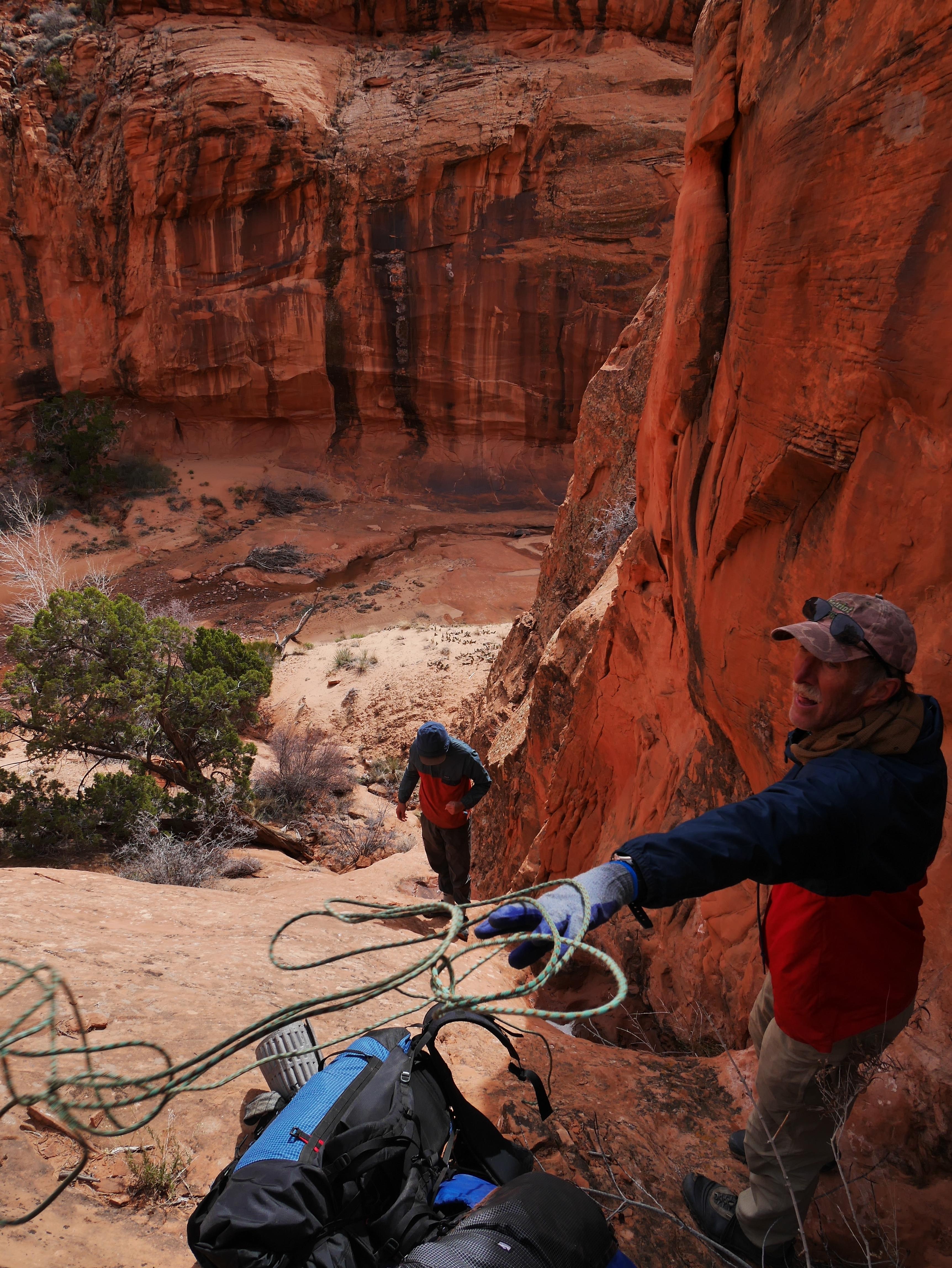
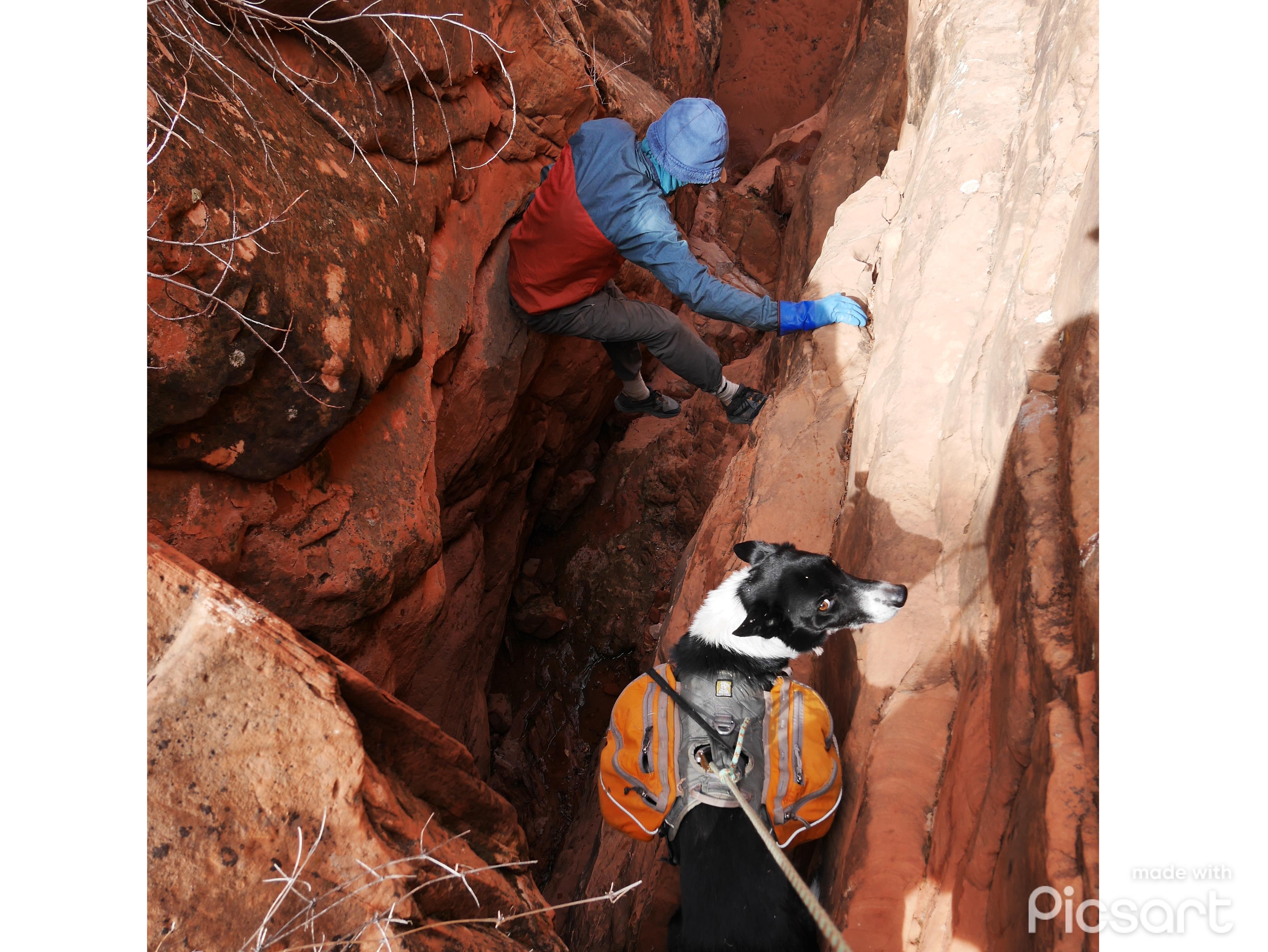
There were some tricky drops and canyon exits, but nothing too bad. Navigation was challenging with full attention turned on most of the time.
NADhyP4.jpg


PQxOEeK.jpg


6GKpxE2.jpg


MwqJfB8.jpg


1TRZZkT.jpg


6HSjgWn.jpg


sUfcy3a.jpg


WoOYOwc.jpg


bXPtQpf.jpg


6Yuvad3.jpg


6UkZ9QU.jpg


XUAw8wT.jpg


H1TkPfM.jpg


sgmALtt.jpg


20wuOig.jpg


cOfWQWa.jpg


r55nIKR.jpg


PBPLiAa.jpg
 
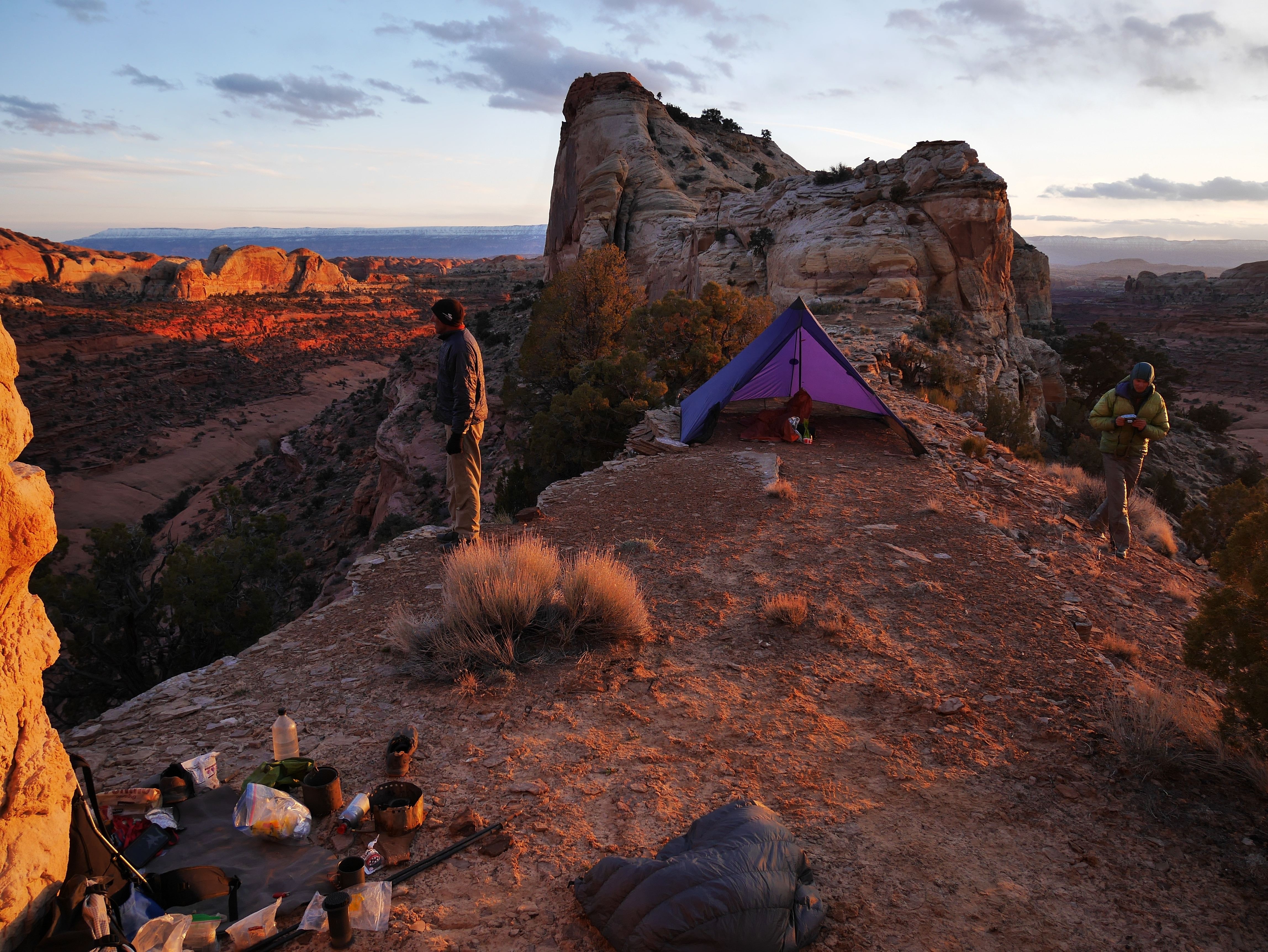
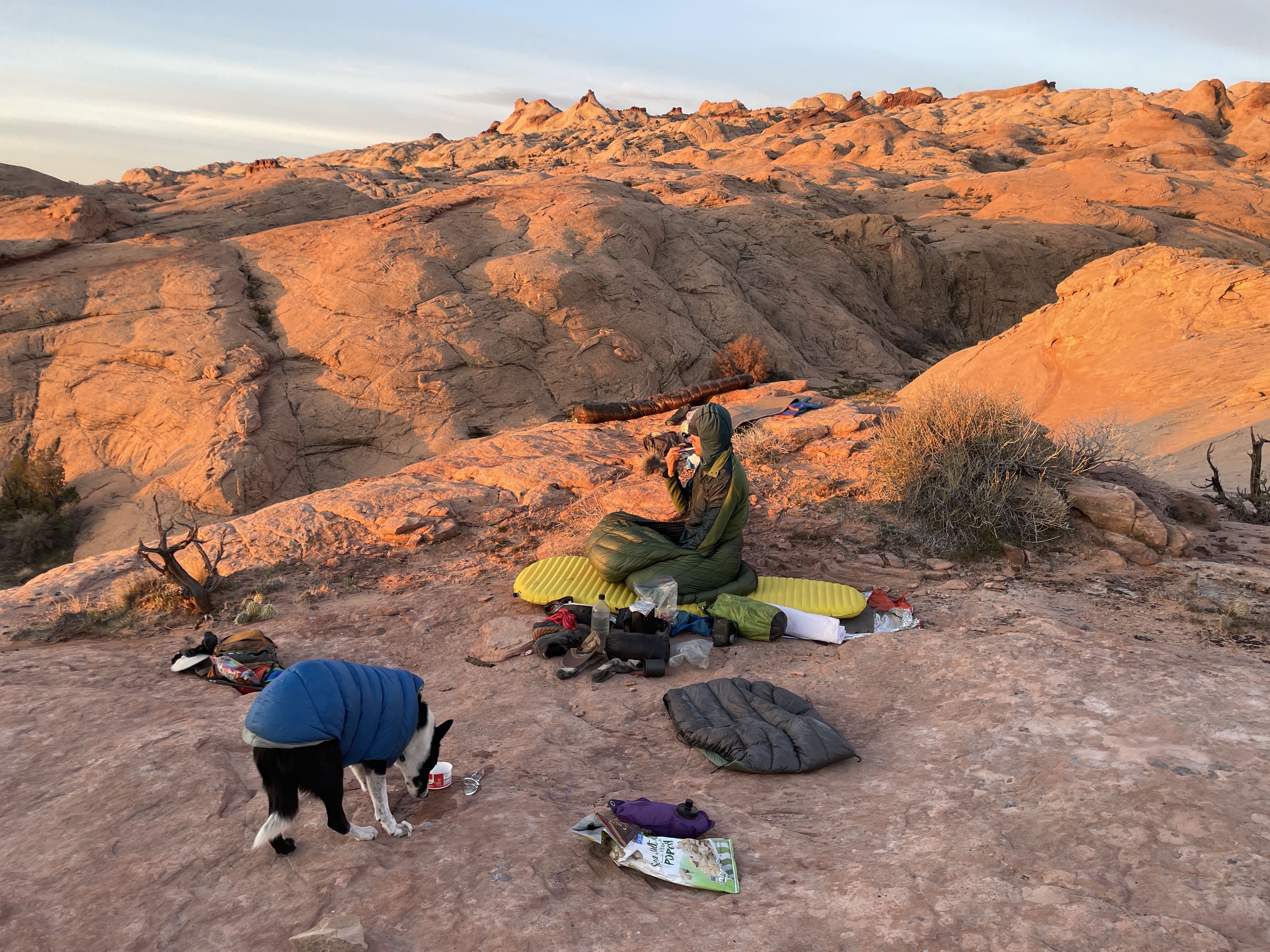
looks like an intense trip! can you explain more about what looks like a campsite on a narrow spine? I don't mind sleeping near a cliff, but I've never slept *that* near a cliff.
 
looks like an intense trip! can you explain more about what looks like a campsite on a narrow spine? I don't mind sleeping near a cliff, but I've never slept *that* near a cliff.
Yes, I generally am cautious choosing exposed camp spots, and this one was just fine. The slopes on both sides of the tent were low angle and safe. Hard to see maybe.
 
No animals harmed, swear!

He has been lowering many, many times, but that initial sweeping off his paws feeling I guess is not his favorite
 
Yes, I generally am cautious choosing exposed camp spots, and this one was just fine. The slopes on both sides of the tent were low angle and safe. Hard to see maybe.
well, it looks like an awesome trip!
 
Great Trip Report, THANK YOU !
A couple years ago I did Stevens to Halls. I thought Upper Stevens was quite extraordinary !
 
Someday I want to do a hike in that area half as cool as this one. Nice work!
 
Beautiful pictures. Thanks. I'm not familiar with this area - looks like Utah, maybe that's the LaSalle mtns in the background? Can you provide a little more context on location? Thanks,
 
Beautiful pictures. Thanks. I'm not familiar with this area - looks like Utah, maybe that's the LaSalle mtns in the background? Can you provide a little more context on location? Thanks,
if you have Steve Allen's Canyoneering 2 book, this area is covered in his "escalante south" loop. if not, then sorta find the Halls Creek Narrows online or whatever and look south of there.
 
Back
Top