- Joined
- Dec 23, 2013
- Messages
- 4,296
After hiking up Mount Wire last week to do a little reconnaissance to see what the snow conditions were like looking east towards Lookout Peak, my daughter and I decided this past Saturday was the time to make an attempt to reach Lookout. Beginning at the Mount Wire Trailhead isn't the most common route to Lookout Peak but since I had never hiked more than .5 miles east of the old airplane beacon on Wire, I thought this might be a fun route to investigate. Back in 2013, I had tried reaching the peak by hiking along the Black Mountain Ridge but some serious bushwhacking and time constraints left me quite a bit short of the summit. In 2014, I passed the junction of the main trail up to Lookout when I hiked to the top of Grandview from the East Canyon side of things, but chose not to summit Lookout while back in there.
We left the trailhead at 7:00 am and the temperature was just below freezing as we made our way to the top of Mount Wire. Since the valley was warming up, we had a god headwind blowing on us on our ascent. We finally reached welcomed sunlight just below the summit of Mount Wire.
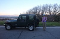
The Jeep and Katie at the Mount Wire Trailhead
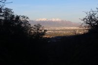
The sun warming the Salt Lake Valley
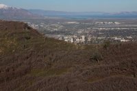
Zoomed in on Downtown Salt Lake City just above Red Butte Ridge taken from near the top of Mount Wire
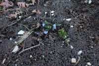
Phlox, waiting for the sun to rise above the mountain
Once at the beacon, we began our hike to the east along the ridge following an old Jeep road. The Jeep road eventually turns to the south and down into Emigration Canyon, though truthfully I did not see where this turnoff occurred. Once it was clear that we were no longer following the road, the trail tends to stick to the ridge. The walk along the ridge provides excellent views down into Emigration Canyon to the south and Red Butte Canyon to the north, along with an excellent view of the Wasatch Mountains also to the south. When we started to reach the end of the ridge, the trail (maybe a game trail) dropped down off the ridge to the south and led us through some muddy terrain. You know, the kind that sticks to your hiking shoes. I don't know about you, but I think that I would rather hike through anything other than mud that sticks to your shoes. Not only does it add weight to each foot, it makes everything incredibly slippery. Eventually the trail rounded the end of the ridge where it was no more and thus began our bushwhack down into upper Red Butte Canyon.
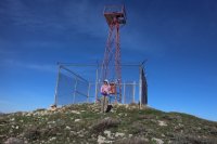
Katie at the beacon - still pretty windy at this time as she holds her hat in place
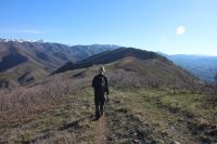
Beginning the hike across the ridge to the east towards Lookout Peak
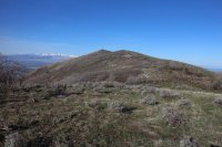
Looking back at the airplane beacon on Mount Wire
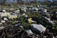
Glacier Lilies in bloom along our route
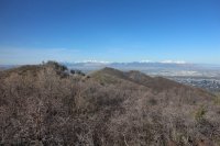
The beacon is getting further away from us.
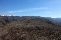
We can tell that we are gaining some ground on Lookout Peak
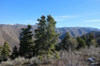
Stand of conifers along our way
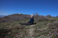
Just like the Scatman to sit down on the Job! Taking in the gorgeous view of the Wasatch Mountains to the south.
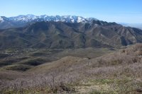
Wasatch Mountains to the south and Emigration Canyon down below - kind of a bad sun angle for the mountains
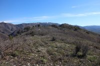
Lookout Peak in the middle of the image with a touch of snow on top.
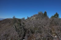
Katie, making her way along the ridge
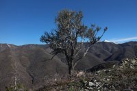
A lone Mountain Mahogany along the ridge
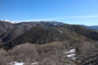
I swear that peak is getting closer!
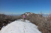
Starting to encounter some snow
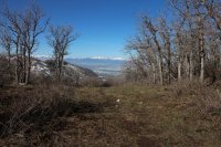
Looking back on the Salt Lake Valley
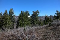
Grandview Peak to the north through the trees
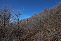
Dropping slightly down off the ridge, soon to encounter muddy conditions
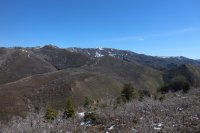
Almost within reach!
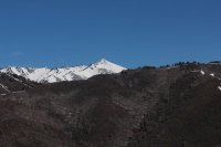
Zoomed in on Grandview Peak which is located along the ridge north of City Creek Canyon. Black Mountain Ridge is in the foreground.
The drop down into Red Butte was a bit challenging for us. It is a rather steep ,snow covered descent and with the snow still being hard, we didn't want to slip and slide a long way down. The conditions of the snow would drastically change on our way back. Towards the bottom, the snow became shallower and we had to deal with the underlying shrubs and thick undergrowth as we finally bottomed out. We then made our way along the canyon bottom and began to climb the opposite ridge looking for the trail that I believe leads to the top of Lookout Peak. We eventually found the trail and slowly made our way to the top of the next ridge.
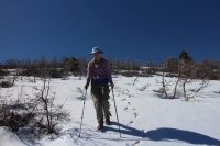
Katie, beginning her descent off the ridge
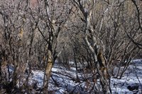
Nasty going at this point
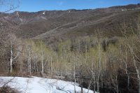
Nearing the Canyon bottom with a grove of aspen beginning to leaf-out.
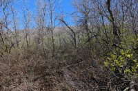
Searching for the trail after starting up the north ridge
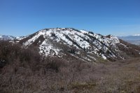
A view back on the ridge we had just descended
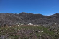
You can kind of make out the old road cut across the ridge - this is what we are shooting for
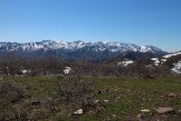
Another shot of the Wasatch
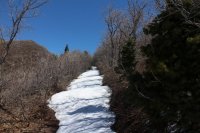
Our snow covered trail
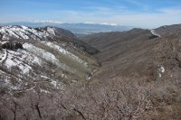
A view, looking west, down Red Butte Canyon
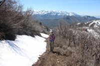
A little path along side the snow at this point.
When we gained the ridge that looks down into Knowlton's Fork, It became obvious that we were not going to reach Lookout Peak this day. The snow was about chest level and had begun to soften up. This meant about 1.8 more miles of post-holing to reach the top and another 1.8 to return, which I wasn't interested in. Yes, I have become a wimp. So at this point, we climbed up to the high point between Red Butte Canyon and Knowton's Fork and ate our lunch with Lookout Peak staring us right in the face. While finishing up our lunches, my friend Quin and his dog Moose joined us.
Quin is practicing for the Wasatch Steeplechase and thought it might be a good training run form him.
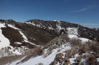
Lookout Peak - 1.8 trail miles away
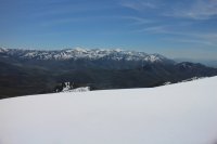
Parley's Canyon (I-80) and Wasatch Mountains viewed from where we ate lunch
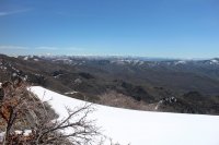
The view east towards the Uintas
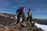
We are at 8209
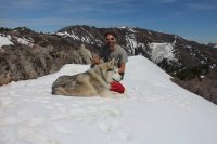
Quin and Moose
After taking some shots from our vantage point, we began hiking back. Quin and Moose stayed with us for about twenty minutes and then they took of running back to the trailhead. Reaching the upper end of Red Butte once again, we started our ascent of the ridge we had come down earlier in the day. For me this was pure hell. I just kept sinking down to mid-thigh, getting my hiking sticks stuck in the shrubbery beneath the snow! At one point I had to stop and dig the end of my pole out to recover it. I can't tell you how glad I was to finally reach the top of the ridge. Katie meanwhile kept giving me this look of "I'll get you back someday for this." She was a real trooper through this section.
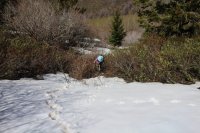
Katie, grinding it out through thick shrubs
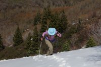
My favorite shot of the entire hike - she is really getting after it. Fortunately, she was light enough to not sink in very deep.
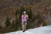
I won't forget this!
Up on the ridge again, we just made our way back to Mount Wire and on to the trailhead where I took a few shots of the wildflowers that are blooming at the lower elevations of the mountain.
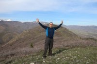
Back on Mount Wire - Lookout Peak is between my head and my right hand
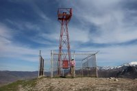
Katie, back at the beacon
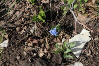
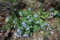
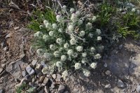
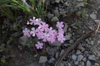
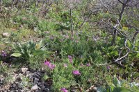
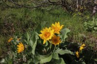
We ended up hiking 18 miles round trip for the day and it took us 11 hours and 18 minute to complete (including lunch). Even though we didn't make our original destination, we still had a great time though I am a touch on the sore side still.
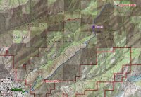
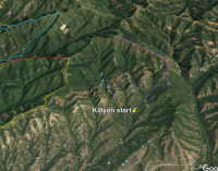
Map of our route.
We left the trailhead at 7:00 am and the temperature was just below freezing as we made our way to the top of Mount Wire. Since the valley was warming up, we had a god headwind blowing on us on our ascent. We finally reached welcomed sunlight just below the summit of Mount Wire.

The Jeep and Katie at the Mount Wire Trailhead

The sun warming the Salt Lake Valley

Zoomed in on Downtown Salt Lake City just above Red Butte Ridge taken from near the top of Mount Wire

Phlox, waiting for the sun to rise above the mountain
Once at the beacon, we began our hike to the east along the ridge following an old Jeep road. The Jeep road eventually turns to the south and down into Emigration Canyon, though truthfully I did not see where this turnoff occurred. Once it was clear that we were no longer following the road, the trail tends to stick to the ridge. The walk along the ridge provides excellent views down into Emigration Canyon to the south and Red Butte Canyon to the north, along with an excellent view of the Wasatch Mountains also to the south. When we started to reach the end of the ridge, the trail (maybe a game trail) dropped down off the ridge to the south and led us through some muddy terrain. You know, the kind that sticks to your hiking shoes.

Katie at the beacon - still pretty windy at this time as she holds her hat in place

Beginning the hike across the ridge to the east towards Lookout Peak

Looking back at the airplane beacon on Mount Wire

Glacier Lilies in bloom along our route

The beacon is getting further away from us.

We can tell that we are gaining some ground on Lookout Peak

Stand of conifers along our way

Just like the Scatman to sit down on the Job! Taking in the gorgeous view of the Wasatch Mountains to the south.

Wasatch Mountains to the south and Emigration Canyon down below - kind of a bad sun angle for the mountains

Lookout Peak in the middle of the image with a touch of snow on top.

Katie, making her way along the ridge

A lone Mountain Mahogany along the ridge

I swear that peak is getting closer!

Starting to encounter some snow

Looking back on the Salt Lake Valley

Grandview Peak to the north through the trees

Dropping slightly down off the ridge, soon to encounter muddy conditions

Almost within reach!

Zoomed in on Grandview Peak which is located along the ridge north of City Creek Canyon. Black Mountain Ridge is in the foreground.
The drop down into Red Butte was a bit challenging for us. It is a rather steep ,snow covered descent and with the snow still being hard, we didn't want to slip and slide a long way down. The conditions of the snow would drastically change on our way back. Towards the bottom, the snow became shallower and we had to deal with the underlying shrubs and thick undergrowth as we finally bottomed out. We then made our way along the canyon bottom and began to climb the opposite ridge looking for the trail that I believe leads to the top of Lookout Peak. We eventually found the trail and slowly made our way to the top of the next ridge.

Katie, beginning her descent off the ridge

Nasty going at this point

Nearing the Canyon bottom with a grove of aspen beginning to leaf-out.

Searching for the trail after starting up the north ridge

A view back on the ridge we had just descended

You can kind of make out the old road cut across the ridge - this is what we are shooting for

Another shot of the Wasatch

Our snow covered trail

A view, looking west, down Red Butte Canyon

A little path along side the snow at this point.
When we gained the ridge that looks down into Knowlton's Fork, It became obvious that we were not going to reach Lookout Peak this day. The snow was about chest level and had begun to soften up. This meant about 1.8 more miles of post-holing to reach the top and another 1.8 to return, which I wasn't interested in. Yes, I have become a wimp. So at this point, we climbed up to the high point between Red Butte Canyon and Knowton's Fork and ate our lunch with Lookout Peak staring us right in the face. While finishing up our lunches, my friend Quin and his dog Moose joined us.
Quin is practicing for the Wasatch Steeplechase and thought it might be a good training run form him.

Lookout Peak - 1.8 trail miles away

Parley's Canyon (I-80) and Wasatch Mountains viewed from where we ate lunch

The view east towards the Uintas

We are at 8209

Quin and Moose
After taking some shots from our vantage point, we began hiking back. Quin and Moose stayed with us for about twenty minutes and then they took of running back to the trailhead. Reaching the upper end of Red Butte once again, we started our ascent of the ridge we had come down earlier in the day. For me this was pure hell. I just kept sinking down to mid-thigh, getting my hiking sticks stuck in the shrubbery beneath the snow! At one point I had to stop and dig the end of my pole out to recover it. I can't tell you how glad I was to finally reach the top of the ridge. Katie meanwhile kept giving me this look of "I'll get you back someday for this." She was a real trooper through this section.

Katie, grinding it out through thick shrubs

My favorite shot of the entire hike - she is really getting after it. Fortunately, she was light enough to not sink in very deep.

I won't forget this!
Up on the ridge again, we just made our way back to Mount Wire and on to the trailhead where I took a few shots of the wildflowers that are blooming at the lower elevations of the mountain.

Back on Mount Wire - Lookout Peak is between my head and my right hand

Katie, back at the beacon


We ended up hiking 18 miles round trip for the day and it took us 11 hours and 18 minute to complete (including lunch). Even though we didn't make our original destination, we still had a great time though I am a touch on the sore side still.

Map of our route.

