Lockhart Basin --> Elephant Hill --> Beef Basin

steve

Member
Joined
Dec 11, 2013
Messages
2,140
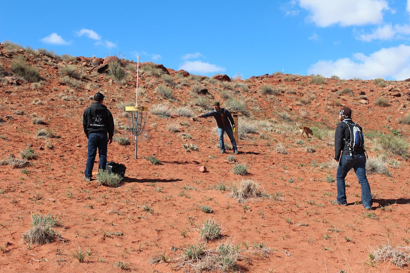
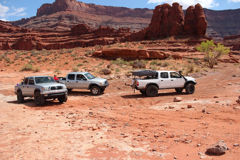
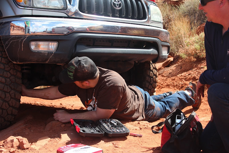
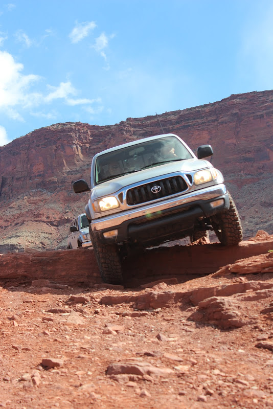
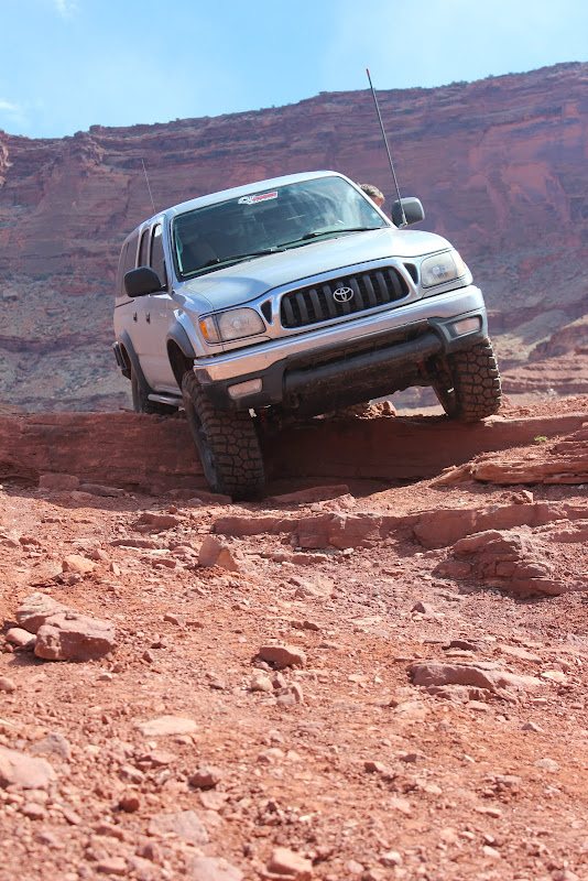
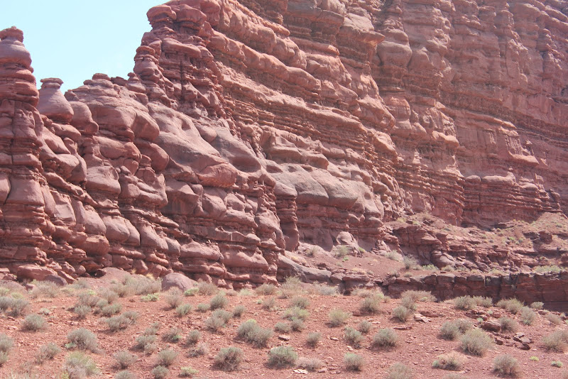
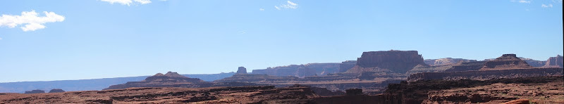
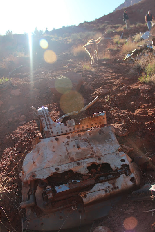
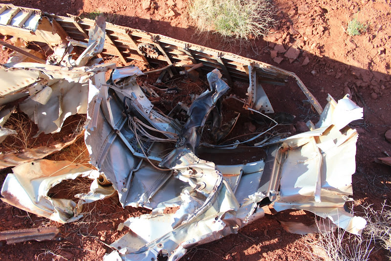
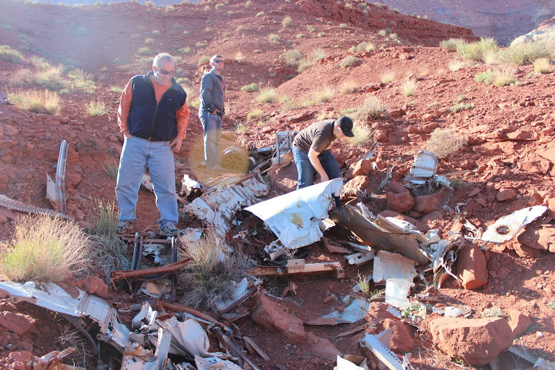
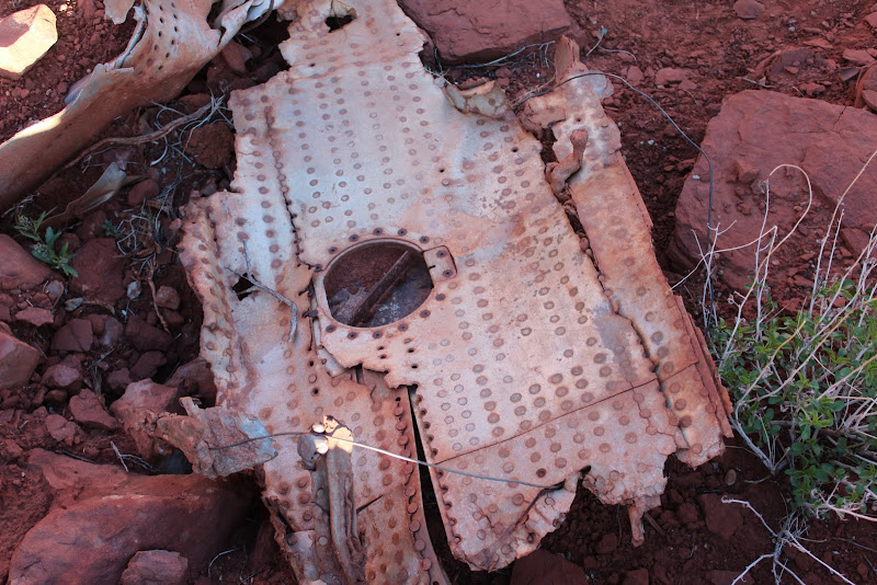
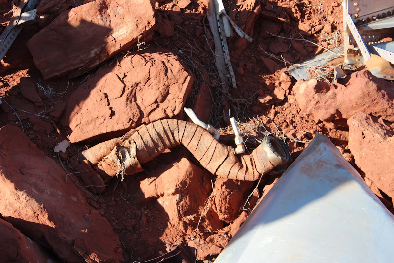
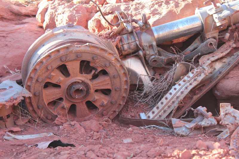
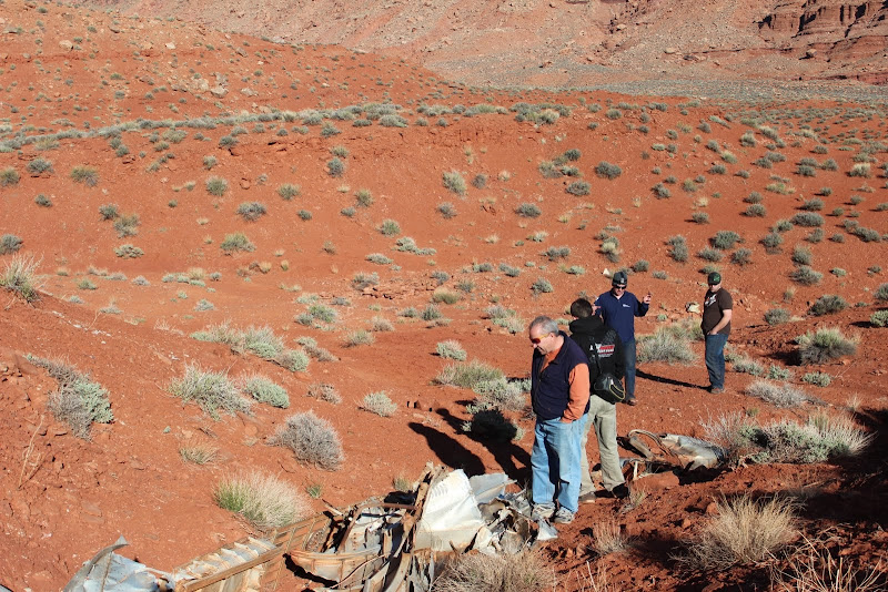
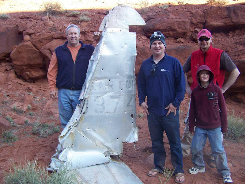
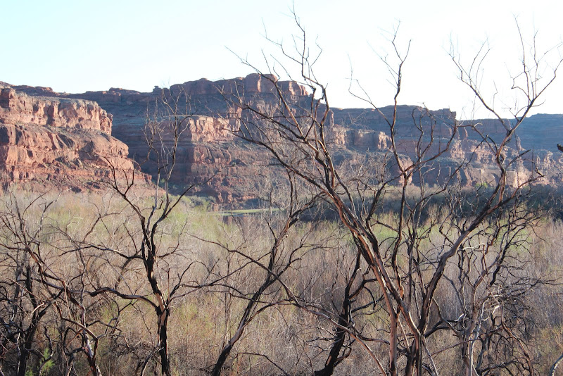
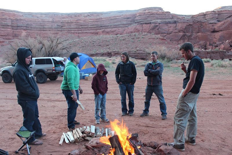
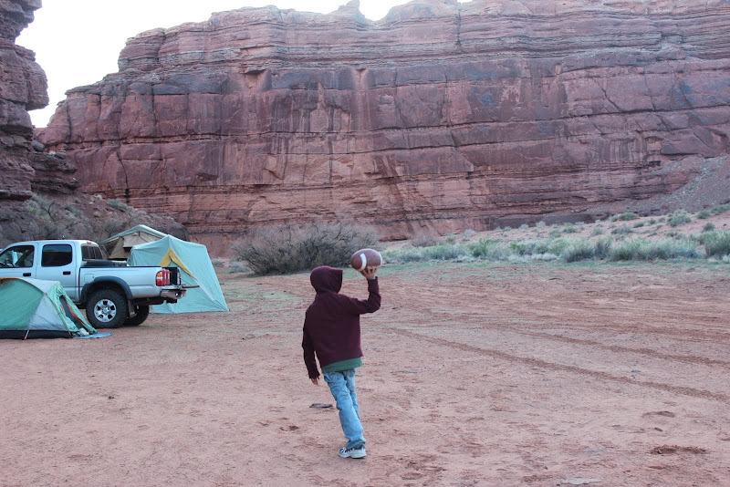
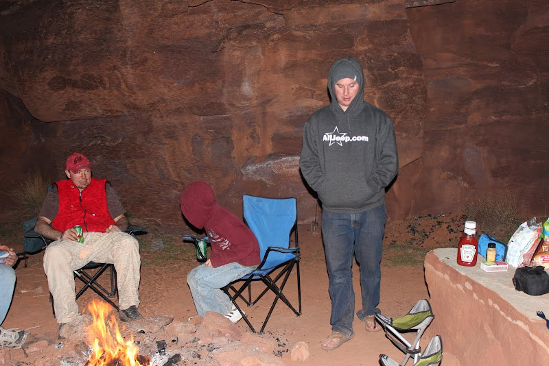
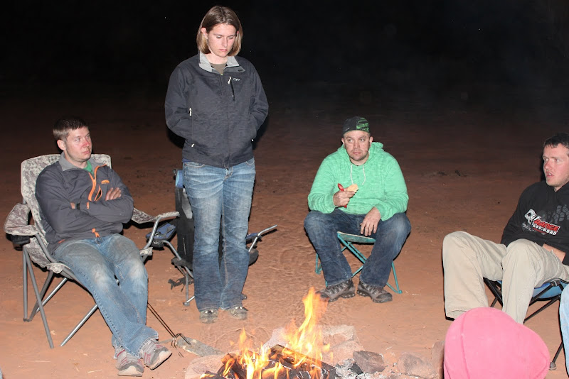
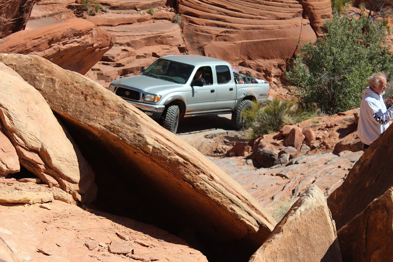
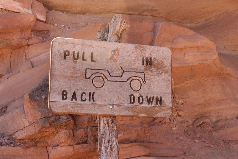
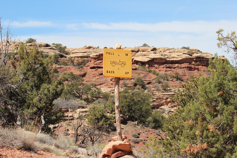
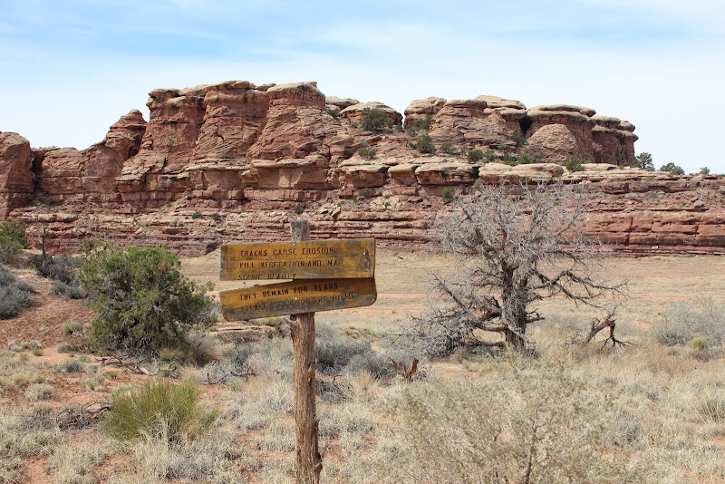
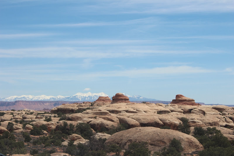
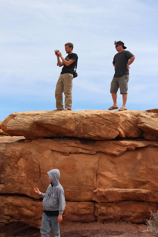
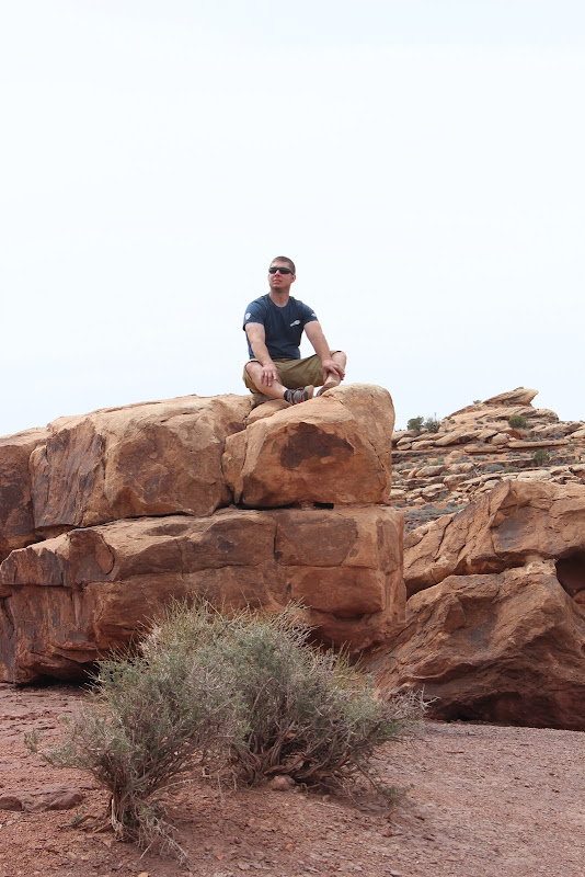
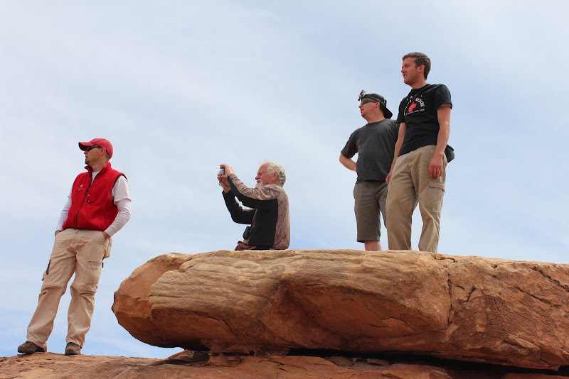
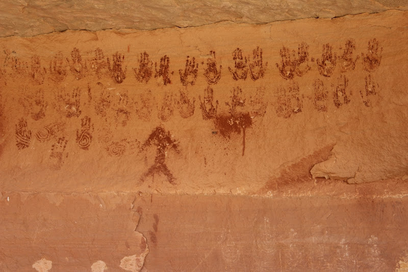
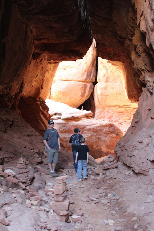
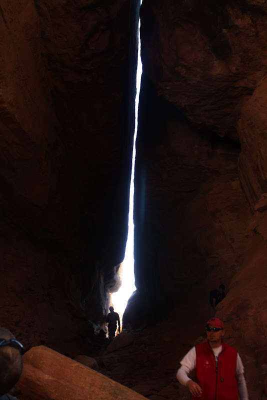
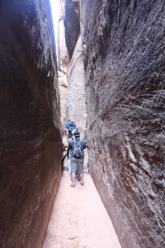
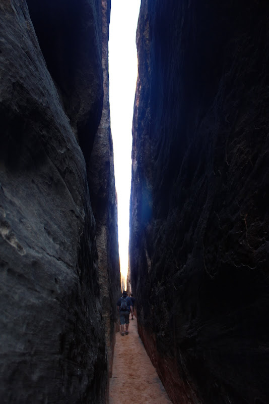
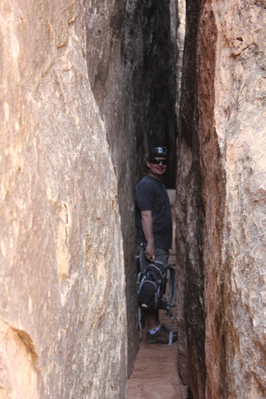
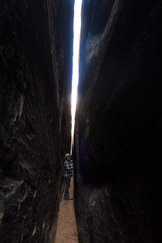
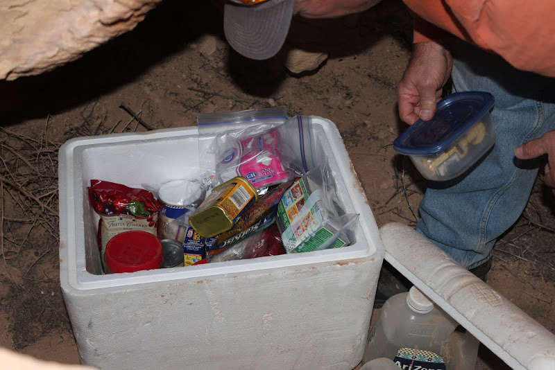
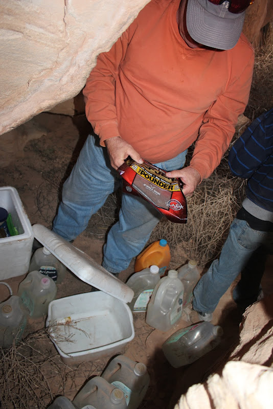
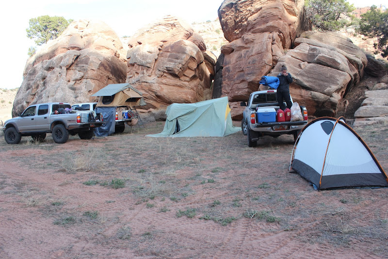
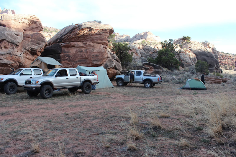
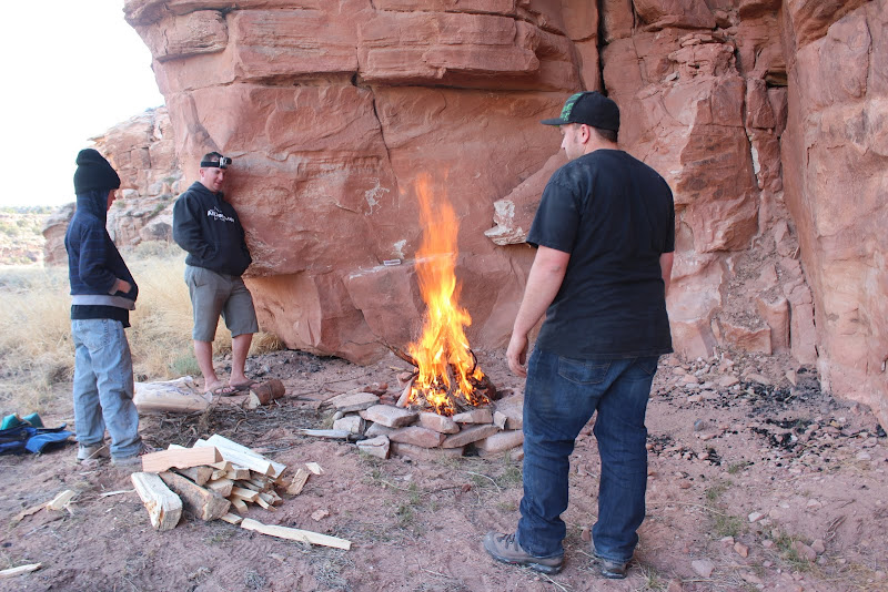
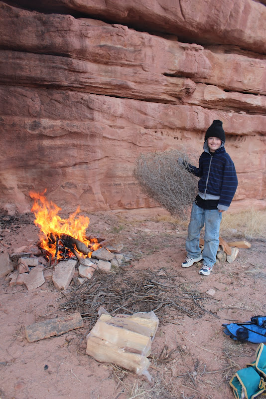
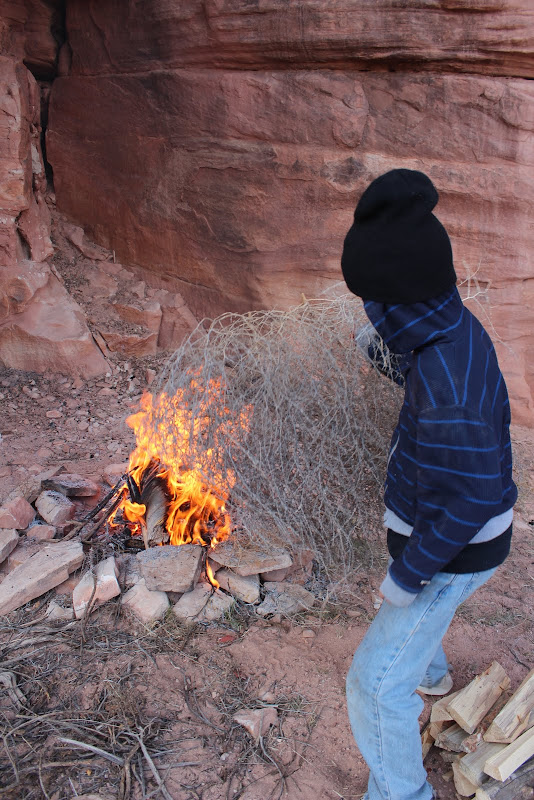
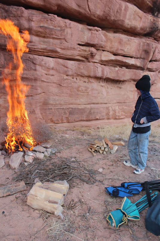
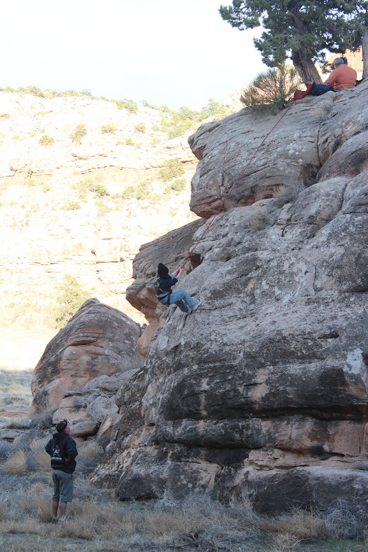
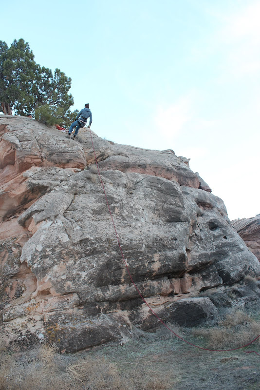
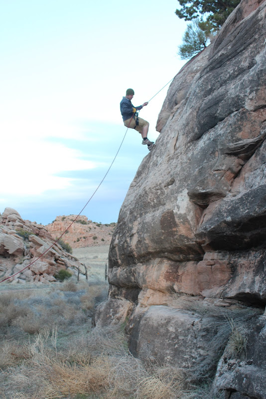
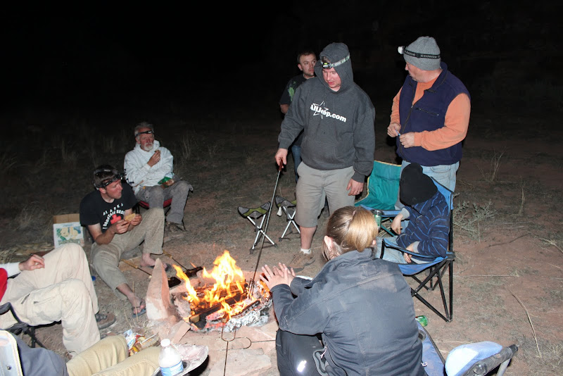
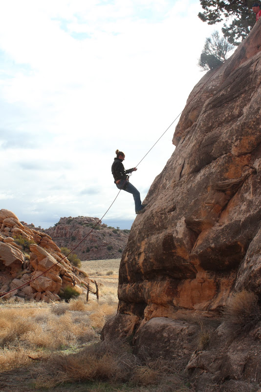
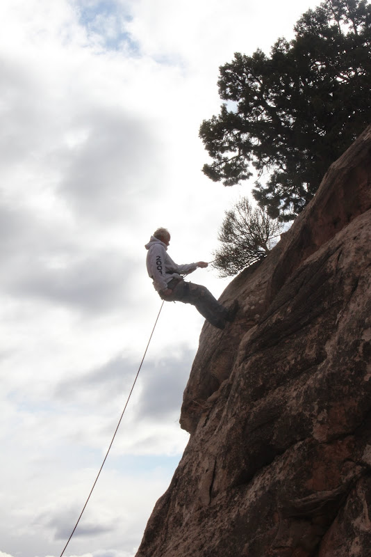
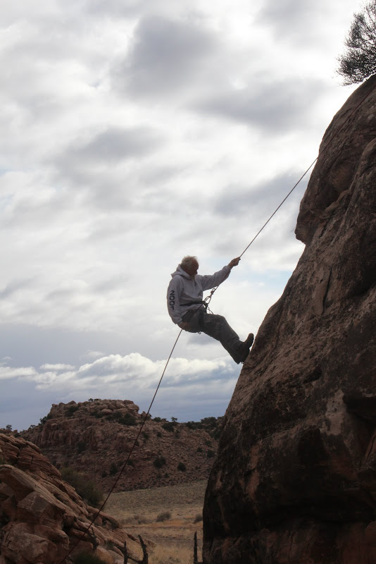
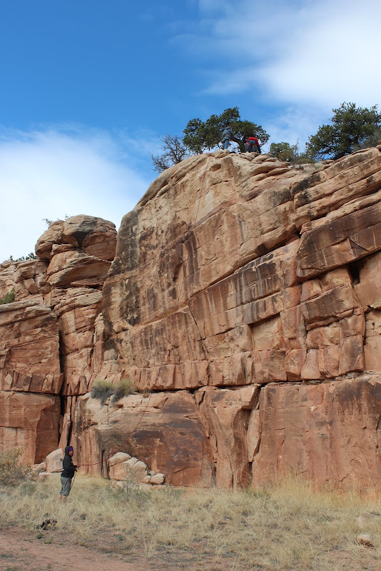
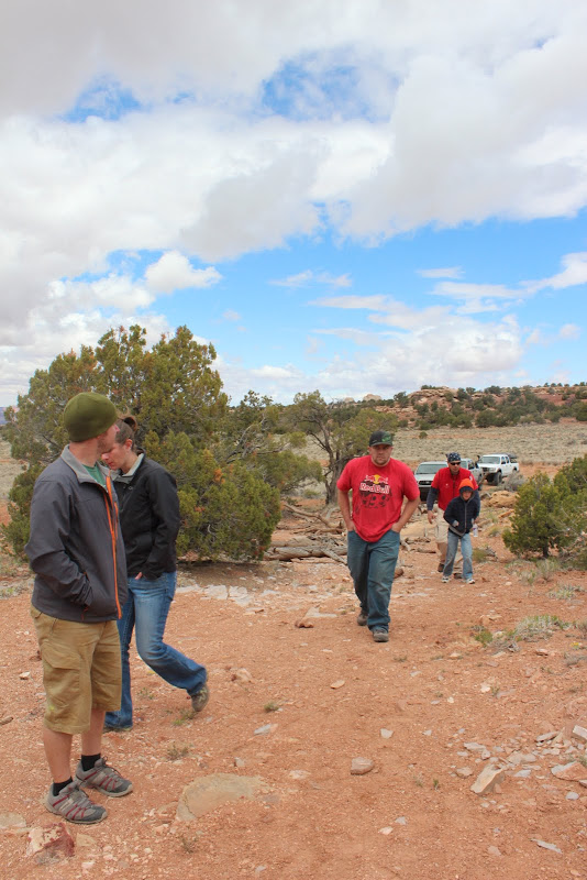
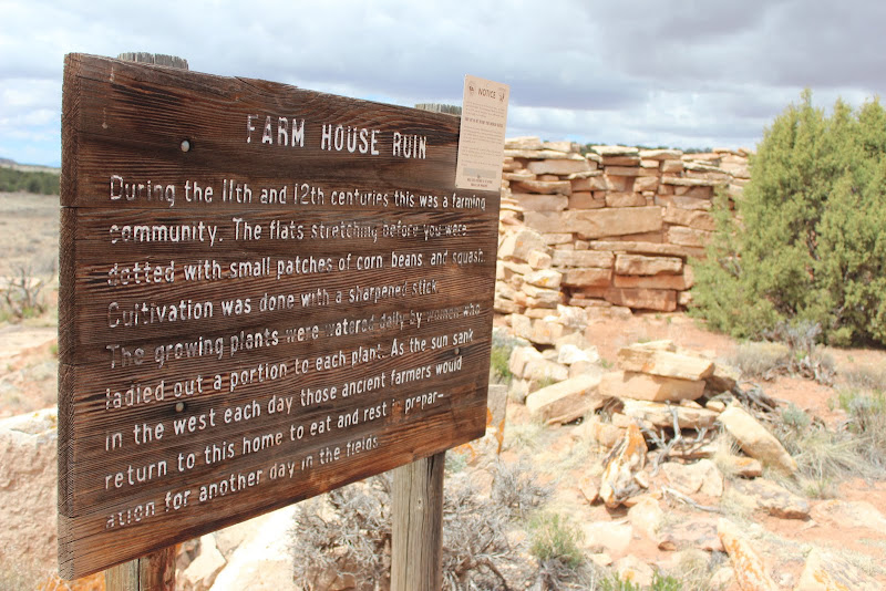
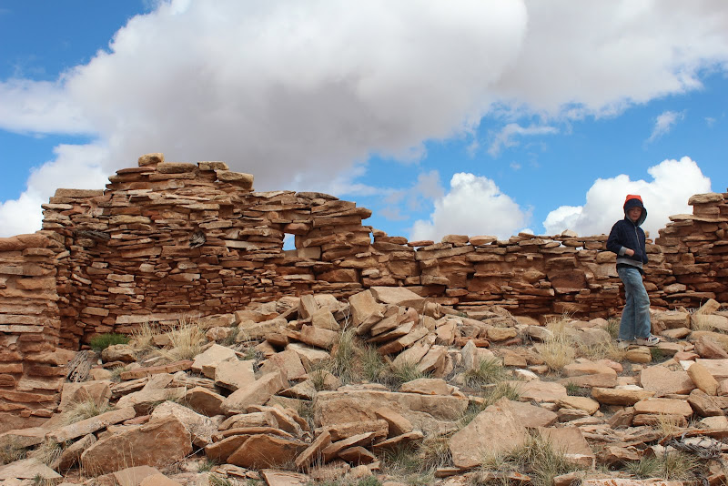
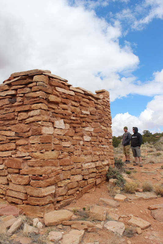
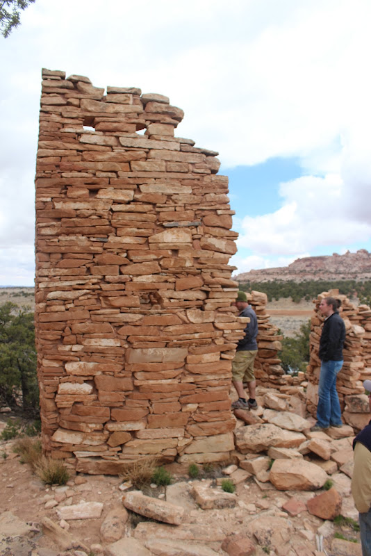
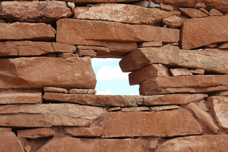
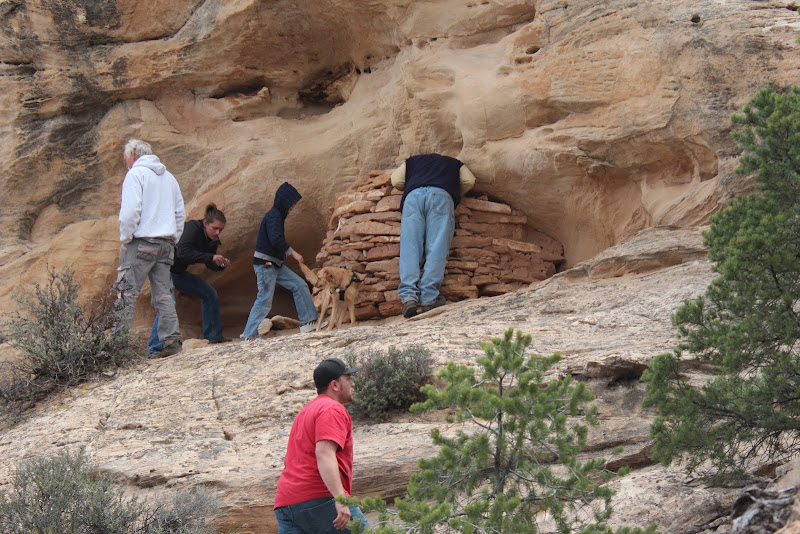
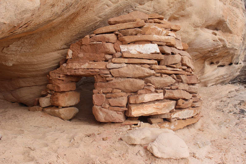
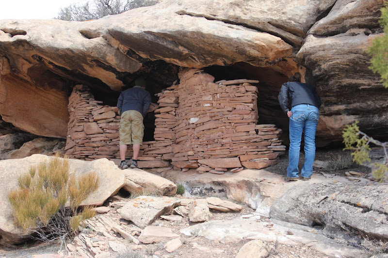
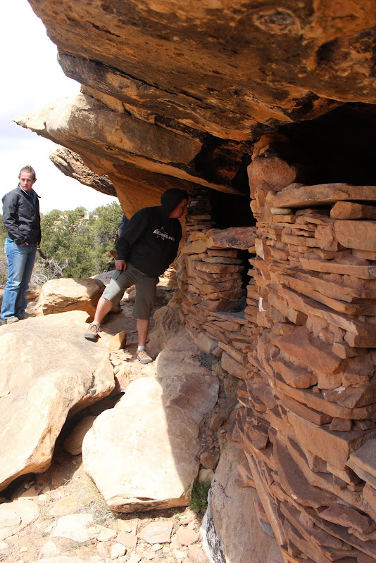
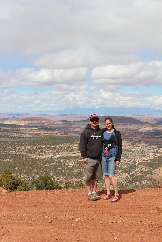
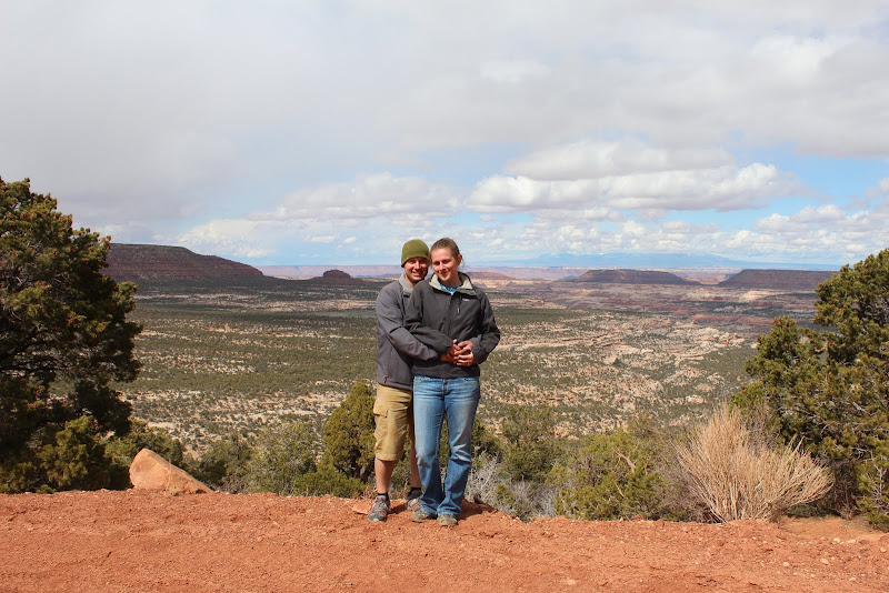
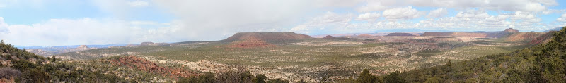
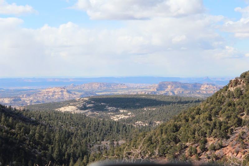
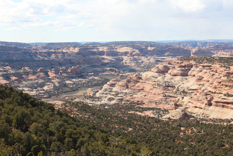
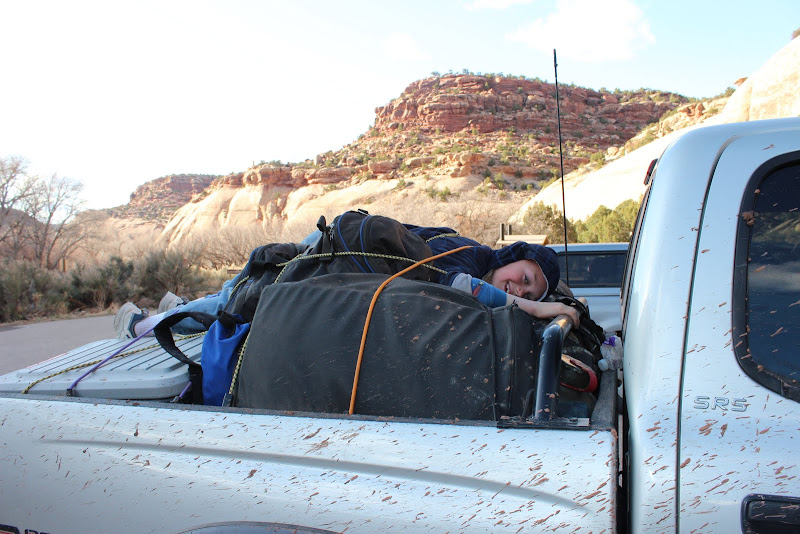
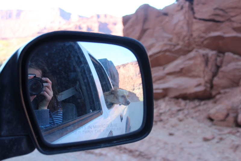
This was my favorite trip of 2013. Definitely in the top 5 trips in my lifetime. Everything about the trip: the weather, the people, the vehicles, the trail, the history, was the perfect combination. I wouldn't change a thing if I had to do it over again.


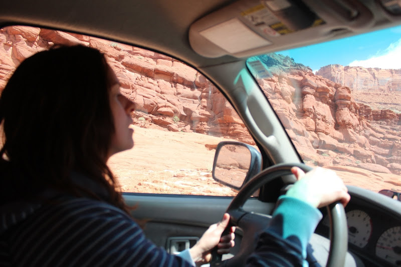
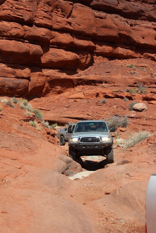
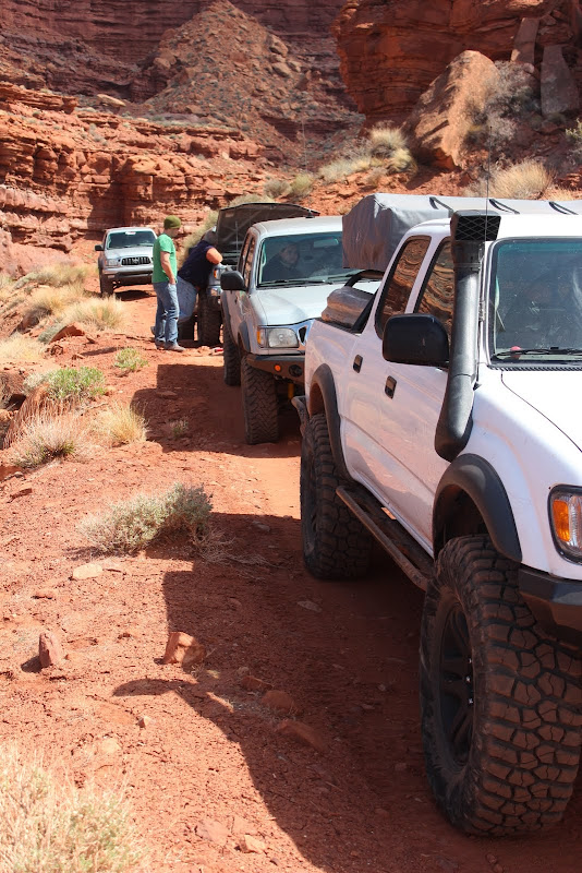
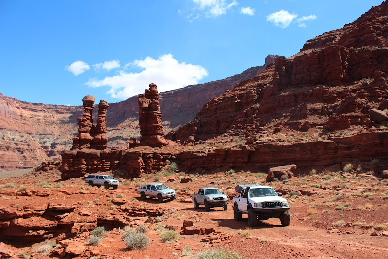
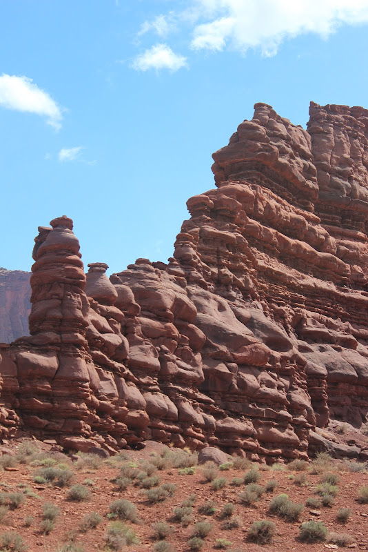
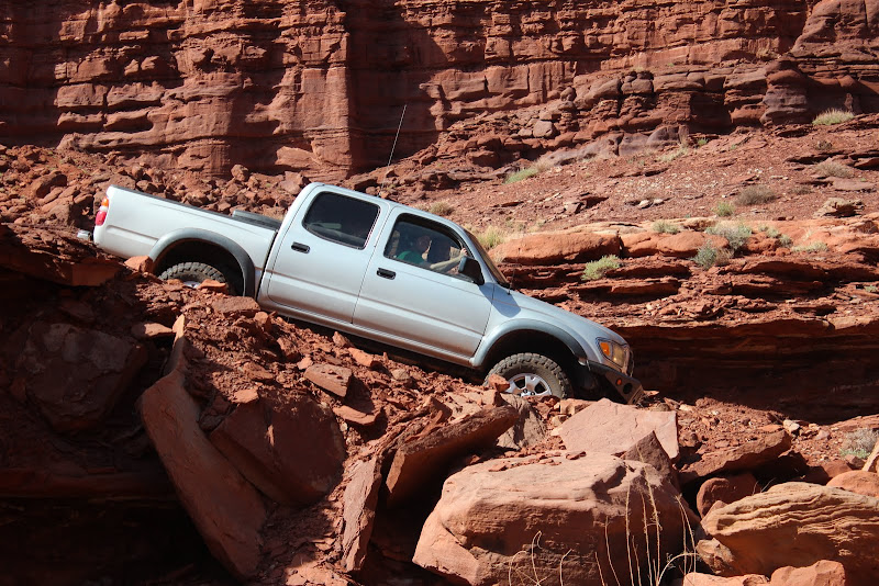
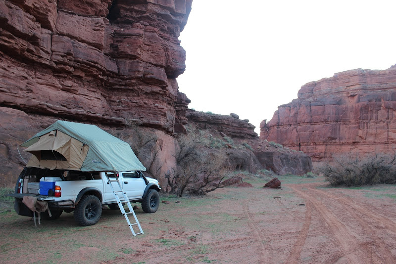
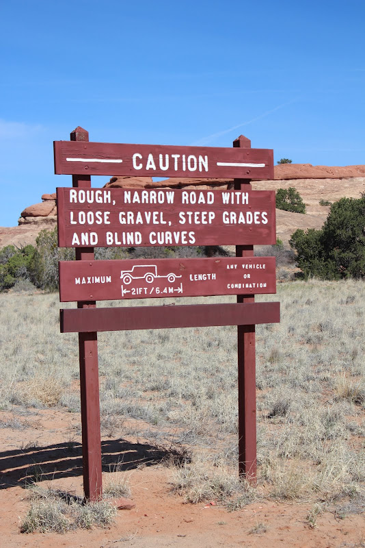
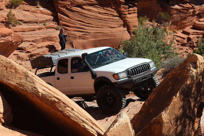
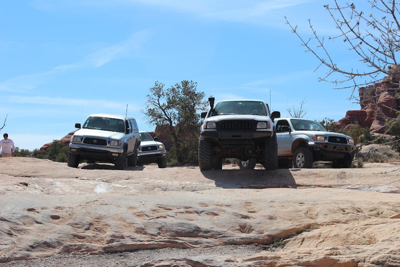
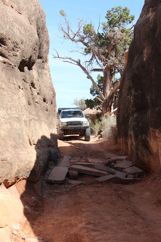
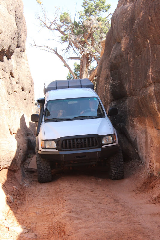
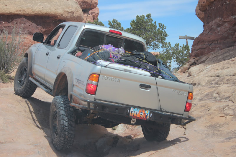
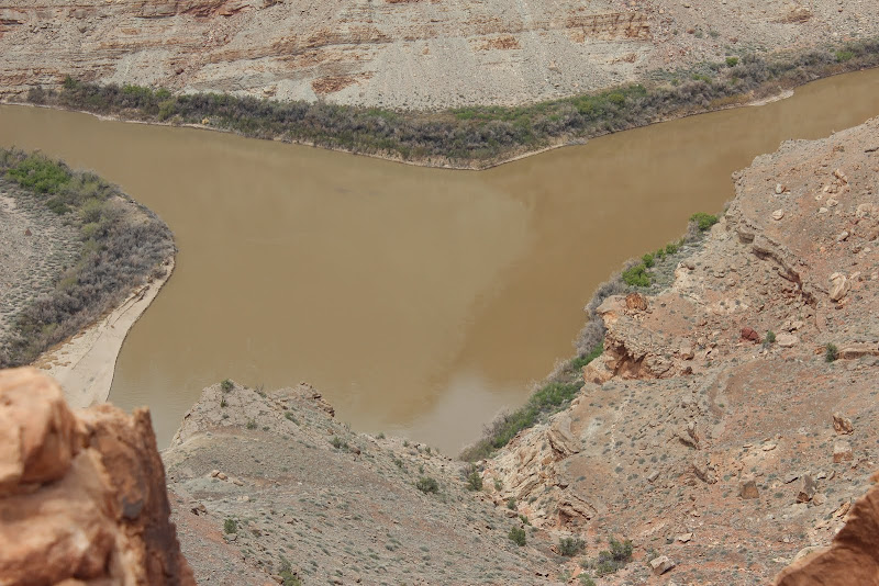
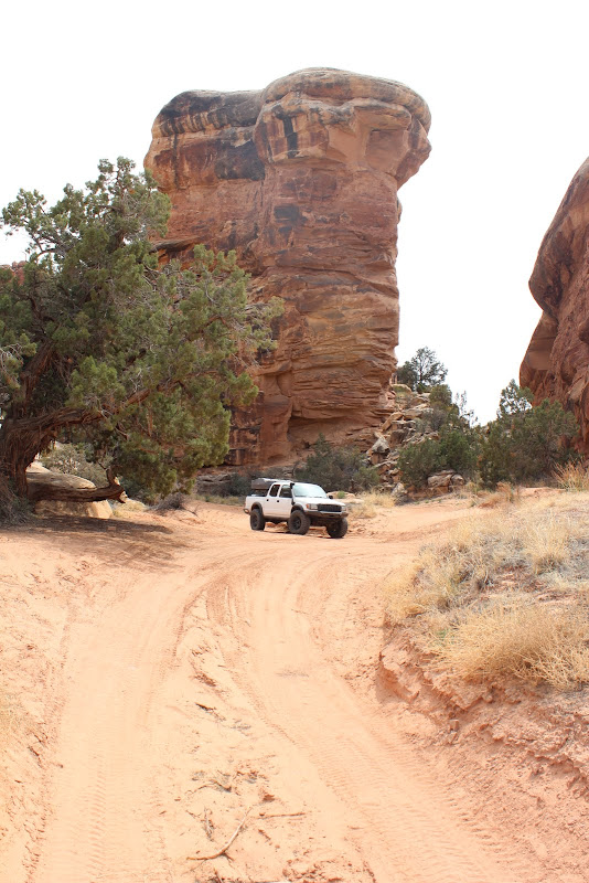
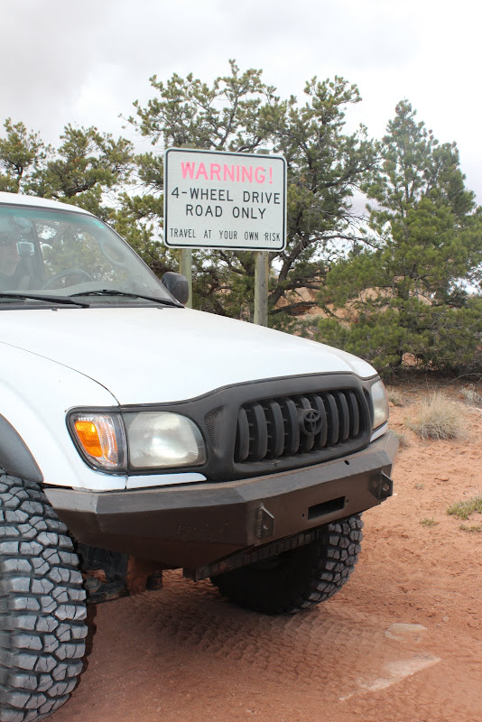
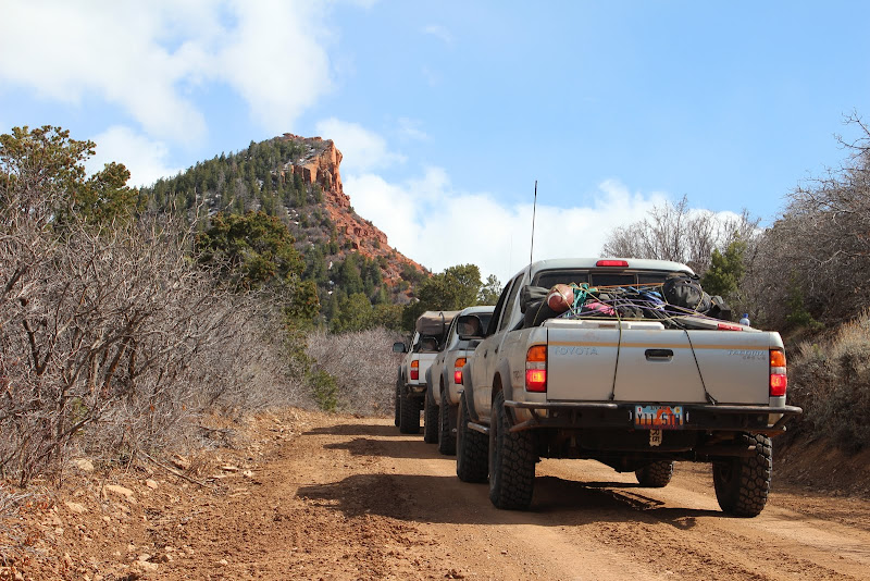
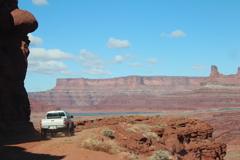
Thursday morning, Kyle, Rosa, my wife, and I we topped off our gas tanks and headed out on Kane Creek Rd.

IMG_3348.JPG


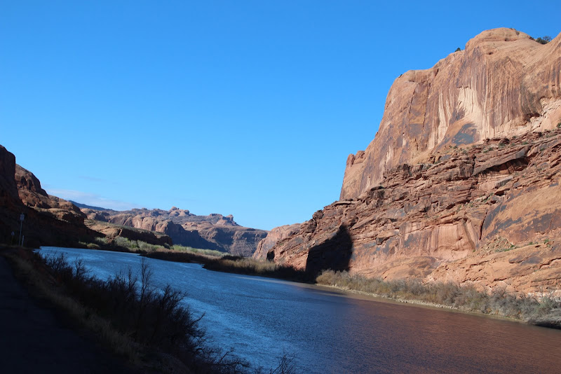
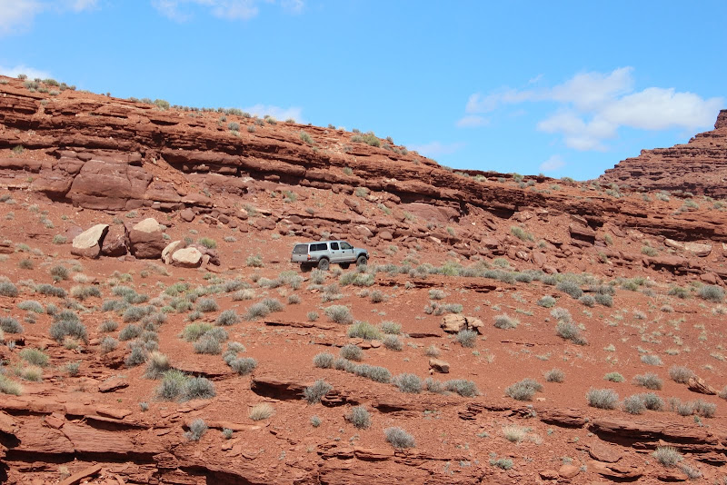
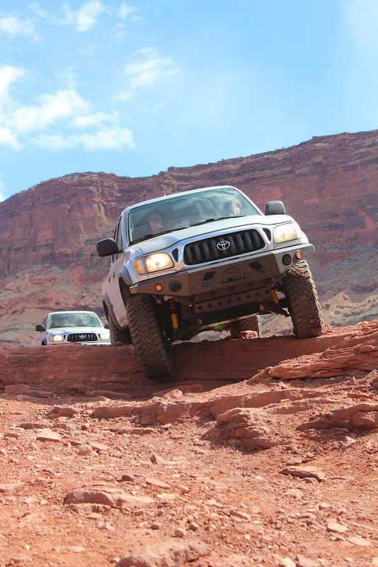
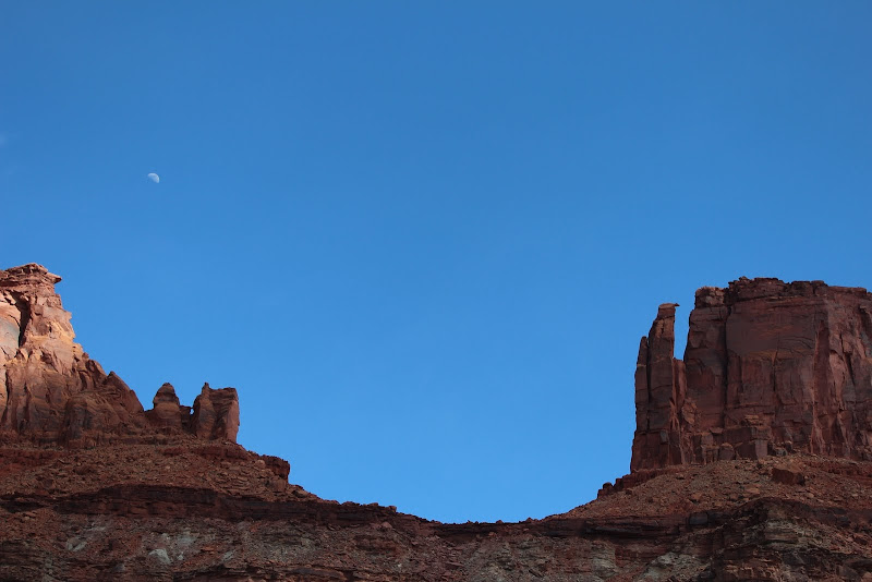
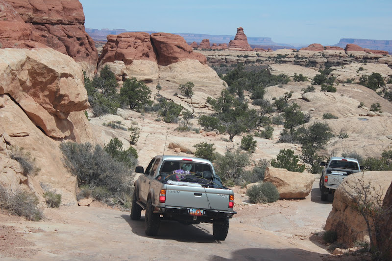
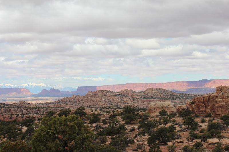
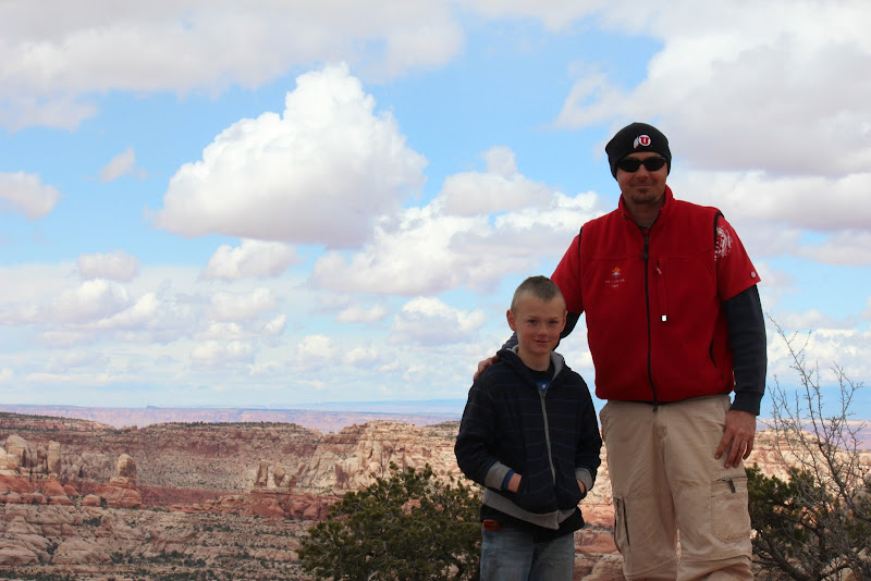
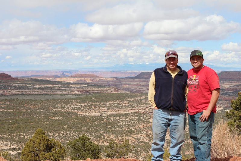
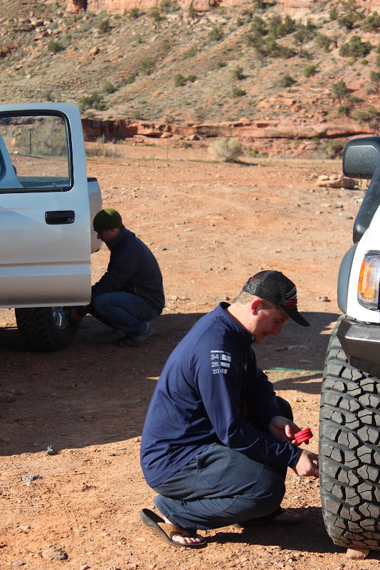
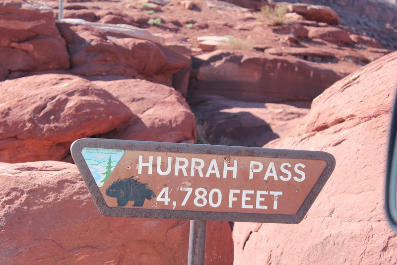
We aired down and headed up to Hurrah Pass.
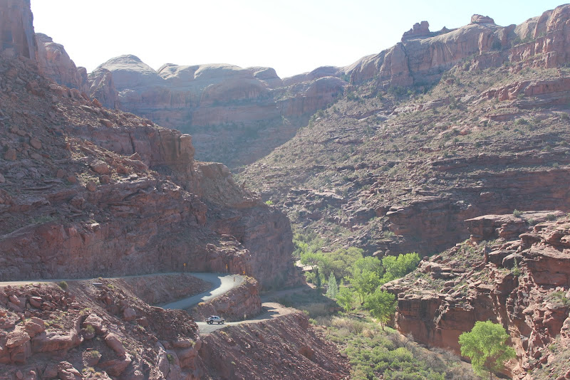
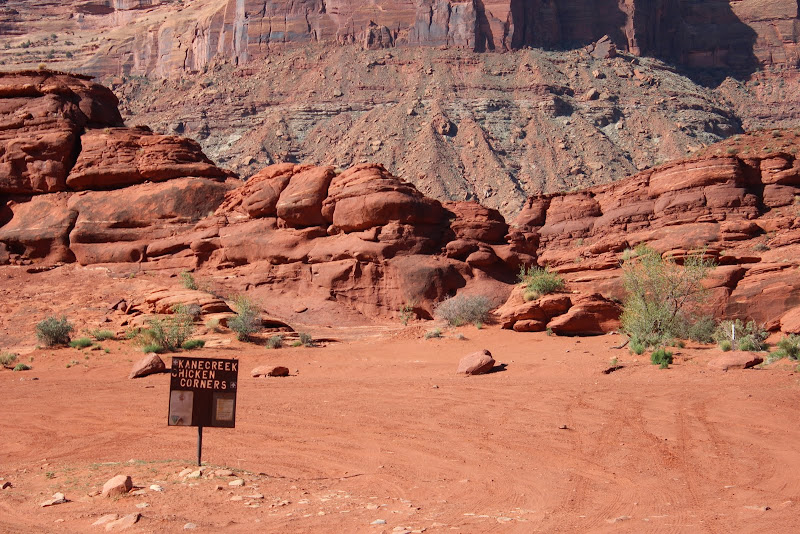
IMG_3357.JPG


IMG_3375.JPG


IMG_3378.JPG


IMG_3382.JPG


IMG_3384.JPG


IMG_3385.JPG
 
From there we headed over to the private "Base Camp Adventure Lodge" to play disc golf.

IMG_3386.JPG


IMG_3387.JPG


This is where the desert tortoise lives:
IMG_3388.JPG


IMG_3399.JPG


IMG_3404.JPG


They have the coolest hogans you can rent for the night.

IMG_3422.JPG


IMG_3432.JPG


IMG_3436.JPG


IMG_3444.JPG


IMG_3449.JPG
 
At lunch time, clfrnacwby and his family caught up with us for a bit to join us for lunch. What a great crew!
IMG_3458.JPG

IMG_3455.JPG

Just before we headed out to the catacombs on Chicken Corners, tacoman99 and his crew caught up with us.
IMG_3476.JPG

IMG_3478.JPG

IMG_3489.JPG

It was an awesome area. We didn't have enough time to fully explore it, we'll be back again soon.
 
From there we continued on to Lockhart Basin trail. I had never done this trail before, but I had heard a lot about it.
IMG_3495.JPG

IMG_3499.JPG

IMG_3502.JPG

Lockhart ended up being a lot tougher, remote, and exhausting than we had anticipated. There were a lot of boulders that made it a challenge for our longer wheelbases. We got through the begining without damage or issue. From there it was a rough trial, but rarely required 4-low.
IMG_3503.JPG

We heard a rig behind us, and saw that it was Cody. We waited up for him and he joined the group as planned. We were a complete group finally.
IMG_3504.JPG

We tightened up a loose brake fitting and were on our way. Gotta love Toyotas. 4 rigs, 500+ miles, and that was the only issue (which was caused by the previous owner).
IMG_3506.JPG
 
We found this weird hollow piece of metal. We saw a couple others along the way. Does anyone know what it is? It's open on the bottom.
IMG_3512.JPG

Continuing on...
IMG_3510.JPG

IMG_3513.JPG

IMG_3518.JPG

IMG_3520.JPG

IMG_3529.JPG
 
These rocks always look like giant butts to us. Can you spot it? We couldn't stop laughing.
IMG_3534.JPG

IMG_3533.JPG

The views were incredible.
IMG_3551%2520Stitch.jpg

IMG_3547.JPG

IMG_3554.JPG

We have fun naming the rock formations. I call this one "Eagle Rock"
IMG_3557.JPG

We found what I thought to be Indian Paint Brush (correct me if I'm wrong). This time of year is great in Moab because the plants are all green and starting to bloom.
IMG_3558.JPG

IMG_3561.JPG

By this point of the trip, Lockhart started to feel long. The scenery didn't change much, and the road wasn't smooth enough to go fast, nor bumpy enough to be a fun challenge.
 
I had seen this trailer in past trip reports, but it's trashed now. Too bad really.
IMG_3563.JPG

IMG_3564.JPG

IMG_3565.JPG

It was feeling REALLY long by this point, but we were glad to be close to the airplane wreckage. We followed our GPS coordinates and sure enough, we found it. This ended up being one of my favorite parts of the trip.
IMG_3566.JPG

IMG_3567.JPG

Considering this thing crashed in the early 50's, it's amazing that everything was in such great condition. I'm also glad that people haven't taken pieces as trinkets or souveniers. I hope this is all still there when I take my kids back to visit it someday.
IMG_3571.JPG

IMG_3573.JPG

IMG_3574.JPG

IMG_3576.JPG

IMG_3579.JPG

IMG_3581.JPG

IMG_3584.JPG

102_6714.JPG
 
After the plane wreckage, we were getting tired of being on the trail, so we headed down Lockhart Canyon in search for a campsite.
IMG_3587.JPG

There was only one campsite, but it was perfect.
IMG_3591.JPG

We got a fire going right away and got warm.
IMG_3593.JPG

IMG_3595.JPG

IMG_3597.JPG

IMG_3598.JPG
 
The next morning we broke camp and headed out to the Needles District to run Elephant Hill. I love the old-school wooden signs in the Needles District.
IMG_3601.JPG

IMG_3602.JPG

IMG_3603.JPG

IMG_3604.JPG

IMG_3606.JPG

IMG_3612.JPG

IMG_3613.JPG

This part is the coolest. The switchback is so tight that they tell you to run that one switchback backwards.
IMG_3614.JPG

IMG_3615.JPG
 
Pretty soon we arrived at the "squeeze play" obstacle. I loved this spot.
IMG_3623.JPG

IMG_3627.JPG

This trail feels more like an African Safari than any other trail I've done. One of our passengers, Ron, has been wanting to see the confluence for 40+ years now, so we headed out in that direction.
IMG_3629.JPG

IMG_3630.JPG

This obstacle is called the Silver Stairs.
IMG_3631.JPG

IMG_3633.JPG

We arrived at the Confluence Overlook trailhead. It sure felt like less than 1/2 mile.
IMG_3636.JPG

IMG_3639.JPG

IMG_3645.JPG

And here's the confluence. Rather unspectacular, but you can definitely see where the Green River meets the Colorado and the two colors mix.
IMG_3640.JPG

IMG_3641.JPG

IMG_3644.JPG

IMG_3646.JPG

IMG_3647.JPG
 
Then we headed out to check out the Joint Trail (one of my all-time favorite hikes). We saw these pictographs near SOB hill.
IMG_3654.JPG

IMG_3655.JPG

At the trailhead.
IMG_3657.JPG

IMG_3659.JPG

IMG_3661.JPG

IMG_3663.JPG

The narrow slot canyons were awesome.
IMG_3665.JPG

IMG_3666.JPG

IMG_3668.JPG

IMG_3669.JPG
 
I hope it's appropriate to post here. If not, let me know and I'll take it down. On our way out to Beef Basin to find a campsite for the night, we came across what we believe to be a Doomsday Prepper's stash. I'm not going to reveal where it was, but it was an awesome find that Will (8 yrs old) stumbled upon while we were exploring the area.
IMG_3683.JPG

IMG_3674.JPG

IMG_3673.JPG

IMG_3675.JPG

IMG_3677.JPG

IMG_3679.JPG

Here were the contents:
- 5 gal gasoline
- 11 gal water
- pots and pans
- cooler with the following: jerky, spam, tuna, lots of coffee and tea, sugar, and a few other things I forgot
If you know the stasher personally, I'd love to hear the story. Also, let him know that everything is still there in perfect shape just like we found it, but all his food expired in 2008 (except the SPAM). :D
After a lot of exploring, we decided to camp in an old Cattle Corral on Beef Basin Rd. It was a really cool place to camp.
IMG_3684.JPG

IMG_3688.JPG

IMG_3686.JPG

Little Will started the fire with a single match and no liquid fuel. He is the coolest kid to have around. He obviously loves fire as much as any other 8 year old, but he was very responsible and never took a burning stick out of the fire and always asked permission before burning things like marshmallows, tumbleweeds, and paper plates. :D
IMG_3687.JPG

IMG_3690.JPG

Will especially loved burning the tumbleweeds.
IMG_3695.JPG

IMG_3694.JPG

IMG_3696.JPG

We found this cool kokapelli petroglyph at camp, but we decided it was too accurate to be real.
IMG_3696.JPG
 
Fortunately for us, Doug brought his canyoneering gear. So we set up a rappel that night to teach my wife and his son Will how to rappel.
IMG_3703.JPG

IMG_3712.JPG

IMG_3729.JPG

More hot dogs and pie iron grilled cheese for dinner.
IMG_3732.JPG
 
The next morning, we let a few more people rappel on the beginner's line...
IMG_3742.JPG

Ron is the man. I always love it when he comes along. It's never the same without him.
IMG_3747.JPG

IMG_3750.JPG

...before we set up the big rappel. I'd guess it was 40-50 feet. My wife is braver than I am, I was WAY more nervous rappeling down this than she was.
IMG_3755.JPG

IMG_3761.JPG

I'm really proud of her, she did extremely well.
IMG_3765.JPG

IMG_3767.JPG

Fender gets nervous when we're up there and he's stuck down below.
IMG_3792.JPG

My turn.
IMG_3798.JPG

IMG_3801.JPG

IMG_3802.JPG

And our fearless instructor, Doug, showing us how to rappel the single cliff in two jumps.
IMG_3806.JPG
 
From there we packed up and headed out via Beef Basin. Bobby's Hole was nothing like what I was expecting. It was a loose, rubbly hill climb with loose rocks ranging from golf ball to beach ball size. I don't have any pics, you'll have to wait for the video.
I had never been beyond Bobby's Hole before, so the rest of this trip was new to me.
IMG_3808.JPG

I finished my bumper before this trip, so I made sure to take lots of pictures of it.
IMG_3810.JPG

Incredible views.
IMG_3812.JPG

IMG_3825.JPG

Evidence of ruins:
IMG_3814.JPG

IMG_3816.JPG

Fender earning his keep.
IMG_3819.JPG

IMG_3822.JPG

IMG_3823.JPG
 
There were lots of ruins along Beef Basin Rd. I prefer the more ancient anasazi ruins to the more modern ruins in this area, but any ruin is cool to see.

IMG_3826.JPG


IMG_3829.JPG


IMG_3832.JPG


IMG_3838.JPG


IMG_3839.JPG


This is more my style. There was an old corn husk in there.

IMG_3841.JPG


IMG_3842.JPG


IMG_3849.JPG


IMG_3852.JPG
 
IMG_3891.JPG

IMG_3857.JPG

IMG_3858.JPG

IMG_3859.JPG

IMG_3879.JPG

I can't imagine a better father/son outing.
IMG_3866.JPG

IMG_3883.JPG

And we even found a picture of Kyle smiling!
IMG_3886.JPG

I love the Montecello/Blanding scenery. There's something special about it.
IMG_3868%2520Stitch.jpg

IMG_3899.JPG

IMG_3904.JPG

IMG_3905.JPG
 
After that we headed out to Newspaper Rock.
IMG_3909.JPG

IMG_3910.JPG

IMG_3912.JPG

Then we aired up the tires and headed home.
IMG_3917.JPG

IMG_3919.JPG

IMG_3901.JPG
 
Similar threads
Thread starter Title Forum Replies Date
Kullaberg63 Lockhart Basin bikepacking, with side trips. Hiking & Camping 8
hatchcanyon The missing link to Lockhart Basin Off Road 2
IntrepidXJ Lockhart Basin to Moab Hiking & Camping 16
IntrepidXJ Fable Valley to Lockhart Basin Hiking & Camping 7
Stephanie B Lockhart Road and Bobby's Hole Trip Planning 7
Kullaberg63 Lockhart area roaming, MLK Weekend Backpacking 16
hatchcanyon Lockhart Canyon Photography 0
Adventures With BeeGee Lockhart State Park, Texas Hiking & Camping 3
Tarp Boy Looking for Shuttle service for Uintas Granddaddy basin trip Trip Planning 0
S Titcomb Basin week itinerary options? Trip Planning 11
DrNed Naturalist Basin: Blue Lake to Shaler Lake? Trip Planning 12
BobFink Yellowstone South Entrance to Fox Creek via Basin Creek Cutoff - Labor Day 2022 Trip Reports 4
NorthwestWanderer Backpacking Grand Teton National Park : Fossil Pass,Fox Creek Pass,Indian Lake,Alaska Basin,Hurricane Pass,Ice Floe Lake,& Snowdrift Lake Backpacking 19
NorthwestWanderer 8 Day High Sierra trek : Humphreys Basin, Star Col, Granite Park, Lake Italy & Piute Canyon 6/25-7/2/22 Backpacking 7
TractorDoc Yellowstone's Wrangler Lake, Bog Creek, Joseph's Coat Springs, Broad Creek, Wapiti Lake, Hot Springs Basin, and Pelican Valley. The Second Half. Backpacking 15
TractorDoc Yellowstone's Wrangler Lake, Bog Creek, Joseph's Coat Springs, Broad Creek, Wapiti Lake, Hot Springs Basin, and Pelican Valley. Part One of Two. Backpacking 61
P Shoshone Geyser Basin, Yellowstonne 2022, 2nd half Backpacking 4
P Shoshone Geyser Basin, Yellowstone, 2022 Backpacking 6
WasatchWill WRHR: Day 6 - Titcomb Basin to Beaver Park Backpacking 9
M Kannah Creek Basin loop, Grand Junction CO Backpacking 6
WasatchWill WRHR: Day 5 - Camp Lake to Titcomb Basin Backpacking 15
seekinglost 1000 Mile Nevada Thru Hike on the Basin and Range Trail Trip Reports 14
TeamJenkins17 Looking for info on Clark Creek drainage/Pierpont Pass into Hidden Basin in the Washakie Wilderness Trip Planning 5
Perry Henry's Fork Basin - Camp Site Suggestions Trip Planning 3
NorthwestWanderer Backpacking Idaho's Cecil D. Andrus-White Clouds Wilderness : O'Calkens Lake & Bighorn Basin Backpacking 2
Mountain Wanderer Four Lakes Basin in the Southern Cabinet Mountains - Montana Backpacking 12
OldBill Short Bear Basin exploration, Wind Rivers Trip Planning 7
JuddOutdoors Hike To Grass Lake //Desolation Wilderness //Lake Tahoe Basin Hiking & Camping 0
travel2walk trip report: Wind River Range – Ross Lakes, Bear Basin, Grasshopper Glacier, & Dinwoody Creek loop, Aug-Sep 2020 Trip Reports 41
Jeremy C Early season run to Horseshoe Basin Hiking & Camping 7
WasatchWill Naturalist Basin to Middle Basin? Almost... Backpacking 6
Tim Valentine Shoshone Geyser Basin Paddle Trip 2010 On The Water 10
Mountain Wanderer High Uintas Wilderness - Granddaddy Basin Backpacking 4
NorthwestWanderer Backpacking the Lost River Range in Idaho : Bear Creek Lake & Upper Basin Backpacking 7
Cait Hell's Kitchen Basin - Old Pack Trail post Box Fire Trip Reports 3
WoodyBR549 Wild Basin Trip Planning 2
misSOULa Into the Winds: Titcomb Basin and Gannett Peak Attempt Backpacking 6
Mike K Kings Peak Via Garfield Basin Backpacking 18
Born to Hike Early June 3-day jaunt on the Uinta Highline Trail: Naturalist Basin, Pinto Lake, Margo Lake Backpacking 8
Jackson Naturalist Basin - September 2019 Backpacking 14
Yvonne Backpacking the Winds: From Elkhart TH to Titcomb Basin, July 2018 Backpacking 20
NorthwestWanderer Backpacking the John Muir Wilderness : Humphreys Basin Backpacking 3
chandlerwest Monument Basin - Canyonlands NP - Not enough hours in a day. Hiking & Camping 6
Stephanie B First Foray into Beef Basin Hiking & Camping 3
chandlerwest Great Basin National Park - Wheeler Peak Hiking & Camping 13
McKee80 TR: Bear Lakes Basin Pine Creek TH 09-05/11-19 Backpacking 14
balzaccom Sabrina Basin exploration Backpacking 1
bdunn02 Stough Creek Basin via Twin Lakes Backpacking 7
Parma Idaho's White Cloud Mountains - Boulder Chain Lakes - Chamberlain Basin Backpacking 8
NorthwestWanderer Dayhike to Gothic Basin & Foggy Pass Hiking & Camping 1

Similar threads

Back
Top