- Joined
- Dec 23, 2013
- Messages
- 4,325
As I made my way up Ophir Canyon towards the trailhead, my original intent had been to hike up to Lewiston Peak and then head north along the ridge to Flat Top Mountain. The peaks are located in the Oquirrh Mountains, which are located on the west side of the Salt Lake Valley, and a place that had often interested me, but up until this trip, I had never hiked in the range before. Lewiston Peak is the third highest peak in the range and Flat Top Mountain is the highest.
Since this was my first time hiking in the area, it was also my first time passing through the quaint little mining community of Ophir. I happened to notice the Ophir Saloon on my way back, which I will have to stop in the next time I am there, since I now have some unfinished business to attend to.
I arrived at the trailhead about eight o'clock in the morning and set off up a 4WD road for about 2.5 - 3.0 miles before meeting up with the trail that heads east up the ridge to Lewiston Peak. At first, the trail heads up the hill with a number of switchbacks. At the top of the switchbacks, the trail just heads straight up the ridge to the peak.
Once I was off the switchbacks, and began heading up the ridge proper, I could tell that I was starting to feel a bit off. At first, I thought that maybe I just needed a snack to give me some energy, so I open a package of Nature's Bakery Fig Bar, that contains two bite sized fig newtons essentially. I ate one of the bars, and after a few more minutes of climbing, I began to feel just the tiniest bit nauseous. I thought to myself, "What's going on?" I continued on and eventually made my way to the summit of Lewiston Peak, where I had the second fig bar from the package. This time the nausea was worse. I rested for a few minutes, took some pictures from the summit, and then post holed my way down the north side of Lewiston, which still had a fair amount of snow on it. After leaving the snow and continuing along the ridge towards Flat Top Mountain, I started to feel even worse. I made my way to just below the south bump of Flat Top Mountain (the north bump is the high point), and I realized that I just couldn't go on anymore. For every few steps I took up, I just felt worse and worse. So at this point I turned around knowing that I'd need some energy to get back up through the snow on the northern slope of Lewiston Peak.
After retreating about halfway down the mountain, I started to feel a little bit better, and by the time I returned to my Jeep, I almost felt back to normal. Now, I have never experienced altitude sickness before, but I'm guessing that is what was going on. I also gave a pint of blood two weeks ago, and this time of year certain types of tree pollen can really put me down for the count if they are really high. Also I had just returned from Portland (close to sea level) where I had stayed for a week in order to be with my son for his graduation. Maybe, it was a combination of all of the above. This turned out to be one of the hardest hikes I have done due to my condition while hiking. Anyway, so now I'm going to have to do a return trip so that I can make it to the summit of Flat Top, and this time enjoy a celebratory beer at the Saloon in Ophir.
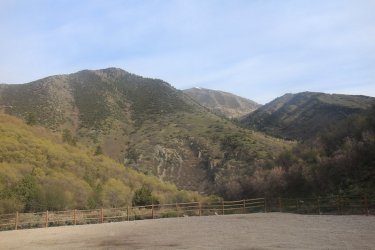
View from the trailhead towards Bald Mountain
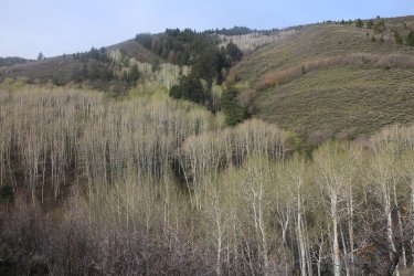
Lots of aspen up the canyon
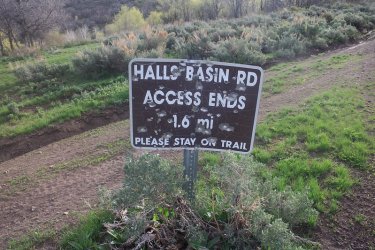
Halls Canyon access. Still a ways to go before reaching my trail.
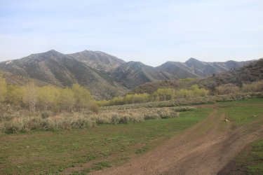
Gaining some elevation on the 4WD road, looking back to the north
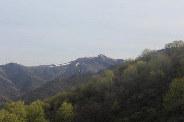
View to the north towards Rocky Peak
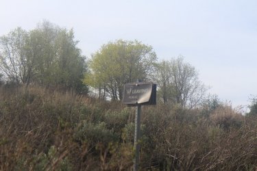
Leaving public land
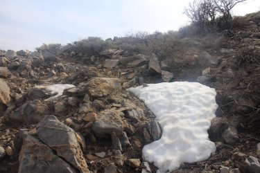
First sign of snow along the switchbacks
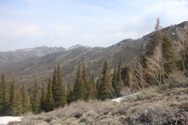
View to the north along the main ridgeline of the Oquirrh Mountains
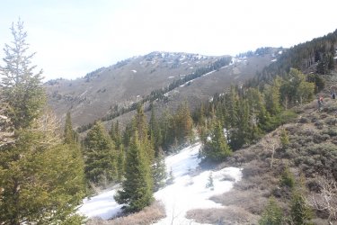
Flat Top Mountain
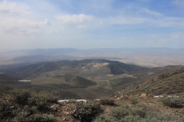
The Mercur Canyon Mine below and Rush Valley beyond
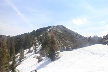
Lewiston Peak above
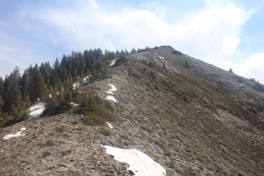
Very slow progress at this point
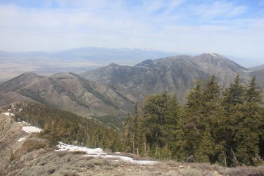
Stansbury Range comes into view to the west
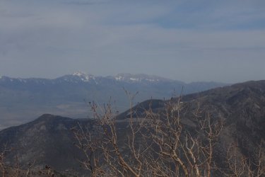
Desert Peak in the Stansbury Range
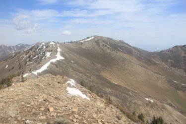
View from the summit of Lewiston Peak, north towards Flat Top Mountain
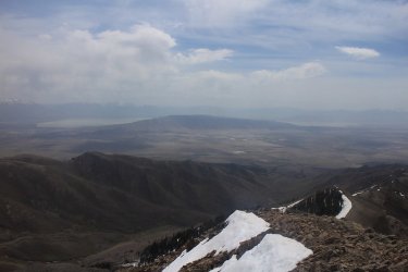
View from the summit to the southeast towards the Lake Mountains and Utah Lake
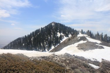
A look back towards the north side of Lewiston Peak, as I made my way north along the ridge towards Flat Top Mountain
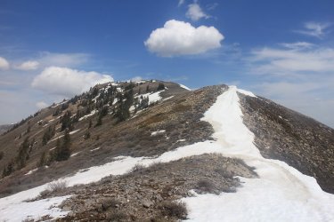
Working my way toward the south bump
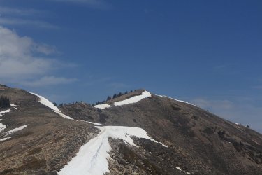
My turn around point. Looking at the north bump, the high point.
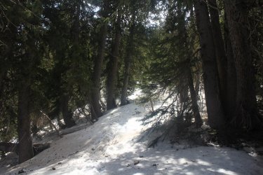 y tough slo
Retracing my steps back up to Lewiston Peak. This stretch was a really tough slog for me.
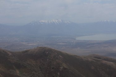
Mount Timpanogos in the distance
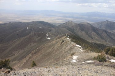
Heading back down the ridge
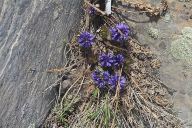
A plant along the ridge that I had never seen before - Feather-Leaf Kitten Tails
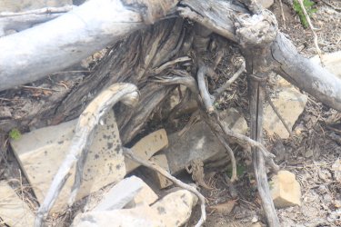
A horned lizard crossed my path
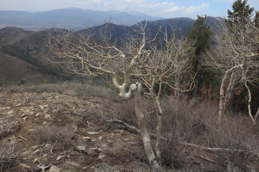
A gnarly aspen along the ridge
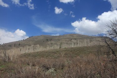
A look back up the ridge
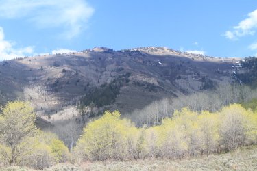
Aspens beginning to get their leaves
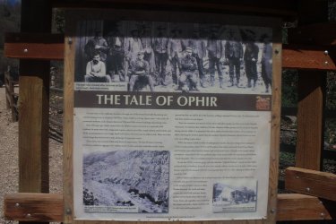
The story of Ophir at the trailhead.
The End.
Since this was my first time hiking in the area, it was also my first time passing through the quaint little mining community of Ophir. I happened to notice the Ophir Saloon on my way back, which I will have to stop in the next time I am there, since I now have some unfinished business to attend to.
I arrived at the trailhead about eight o'clock in the morning and set off up a 4WD road for about 2.5 - 3.0 miles before meeting up with the trail that heads east up the ridge to Lewiston Peak. At first, the trail heads up the hill with a number of switchbacks. At the top of the switchbacks, the trail just heads straight up the ridge to the peak.
Once I was off the switchbacks, and began heading up the ridge proper, I could tell that I was starting to feel a bit off. At first, I thought that maybe I just needed a snack to give me some energy, so I open a package of Nature's Bakery Fig Bar, that contains two bite sized fig newtons essentially. I ate one of the bars, and after a few more minutes of climbing, I began to feel just the tiniest bit nauseous. I thought to myself, "What's going on?" I continued on and eventually made my way to the summit of Lewiston Peak, where I had the second fig bar from the package. This time the nausea was worse. I rested for a few minutes, took some pictures from the summit, and then post holed my way down the north side of Lewiston, which still had a fair amount of snow on it. After leaving the snow and continuing along the ridge towards Flat Top Mountain, I started to feel even worse. I made my way to just below the south bump of Flat Top Mountain (the north bump is the high point), and I realized that I just couldn't go on anymore. For every few steps I took up, I just felt worse and worse. So at this point I turned around knowing that I'd need some energy to get back up through the snow on the northern slope of Lewiston Peak.
After retreating about halfway down the mountain, I started to feel a little bit better, and by the time I returned to my Jeep, I almost felt back to normal. Now, I have never experienced altitude sickness before, but I'm guessing that is what was going on. I also gave a pint of blood two weeks ago, and this time of year certain types of tree pollen can really put me down for the count if they are really high. Also I had just returned from Portland (close to sea level) where I had stayed for a week in order to be with my son for his graduation. Maybe, it was a combination of all of the above. This turned out to be one of the hardest hikes I have done due to my condition while hiking. Anyway, so now I'm going to have to do a return trip so that I can make it to the summit of Flat Top, and this time enjoy a celebratory beer at the Saloon in Ophir.

View from the trailhead towards Bald Mountain

Lots of aspen up the canyon

Halls Canyon access. Still a ways to go before reaching my trail.

Gaining some elevation on the 4WD road, looking back to the north

View to the north towards Rocky Peak

Leaving public land

First sign of snow along the switchbacks

View to the north along the main ridgeline of the Oquirrh Mountains

Flat Top Mountain

The Mercur Canyon Mine below and Rush Valley beyond

Lewiston Peak above

Very slow progress at this point

Stansbury Range comes into view to the west

Desert Peak in the Stansbury Range

View from the summit of Lewiston Peak, north towards Flat Top Mountain

View from the summit to the southeast towards the Lake Mountains and Utah Lake

A look back towards the north side of Lewiston Peak, as I made my way north along the ridge towards Flat Top Mountain

Working my way toward the south bump

My turn around point.
 y tough slo
Retracing my steps back up to Lewiston Peak. This stretch was a really tough slog for me.

Mount Timpanogos in the distance

Heading back down the ridge

A plant along the ridge that I had never seen before - Feather-Leaf Kitten Tails

A horned lizard crossed my path

A gnarly aspen along the ridge

A look back up the ridge

Aspens beginning to get their leaves

The story of Ophir at the trailhead.
The End.
Last edited:
