TheDunedain
Not all those who wander are lost
- Joined
- Feb 11, 2012
- Messages
- 37
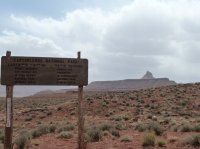
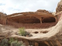
Lavender Canyon seems to be well off the beaten trail for all those who visit the nearby Indian Creek Recreation Area and Canyonlands' Needles District for in my two times visiting there (both actually on April 1st and 2nd of both 2011 and 2012) I did not see a single soul. It is accessed by driving about 30 miles in on the Needles road 211 and then there is a turnoff near the Six Shooters that follows a horrible dirt road (4wd or AWD is needed for which quickly becomes a riverbed) for about 15 miles into the canyon. The "road" follows this dirt road for what seems forever and passes a nice Anasazi granary and has a turnoff for a nice side canyon along the way with few cool arches and ends at the Canyonlands Park boundary. At the boundary there is a very nice campsite off the side of the riverbed and has an arch and a ruin within sight of the campsite.
Being that I was stationed in Monticello for my work I left at about noon and arrived at the turn of in Indian Creek at about 1. The drive from the turnoff takes about an hour and a half and is not one that should be taken too lightly for there are plenty of parts where the sand gets deep enough to stop a vehicle if the momentum isn't great enough but my little 97 Subaru Outback handled it fine. When I arrived at the site I was reminded why Lavender is one of my favorite canyons in Southern Utah. The walls of the canyon tower a few hundred feet above the floor and have some of the most varied sandstone I have ever seen in one place. From red, to orange, to yellow striped cedar mesa sandstone with all its honeycomb facets to the dark red-purple Bridger Jack Mesa that towers above the canyon Lavender leaves little to be desired. That first night I just hung out at camp and checked out the the small side-canyon that the campsite is found in and revisited the small Anasazi ruin that I had found exactly a year prior on the 1st. After a short hike I ate and settled down for the night.
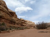
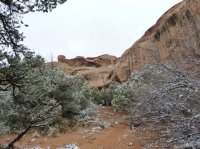
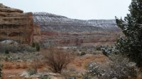
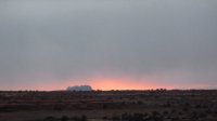
The next morning I awoke in a snow storm with a few inches of snow on the ground already. Just a nice reminder of how varied the weather changes in southern Utah. I waited a bit for the storm to clear up and had some breakfast and then set out on a dayhike with the intention of visiting the confluence of West Lavender and the Main Canyon where I had experience one of the most beautiful sunsets I have ever seen a year prior, and then continuing down one of the forks. From the park boundary the canyon follows the same sandy riverbed which makes hiking a bit frustrating at times but fortunately for me the sand was a bit harder from the snow which made hiking easier(Apparently most people ATV or Jeep Lavender but I saw no signs of vehicles). The "trail" passes a few arches in this upper part of the canyon one of them being Caterpillar arch and continues to the confluence where things get a bit narrower and grander, but the walking is still the same difficulty through flat sand...
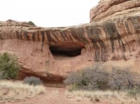
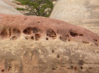
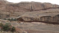
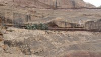
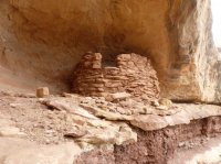
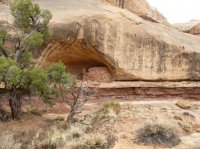
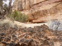
At the confluence I decided to visit the spot I had been a year prior and then continue down West Lavender to do some exploring. As I got up on the sandstone buttress I had been a year before it started to snow and snow hard. Right as the clouds unleashed and I was beginning to think about finding some shelter I noticed a small yet perfectly intact Anasazi ruin along a dark red line of sandstone only a few hundred feet away from where I was standing that I had completely overlooked a year prior. How convenient! From there I scrambled up the wet sandstone and hunkered down in the ruin for the rest of the snowstorm which lasted about a half and hour to 45 minutes. Definitely not a bad place to watch a snowstorm pass though! By the way in this area there are hundreds of perfect little honeycomb holes wore in to the sandstone that are a real marvel to look at.
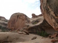
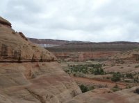
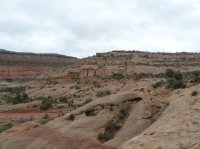
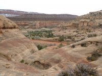
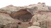
Anyway after the storm passed I climbed down the sandstone to the bottom of the canyon and proceeded to explore the majesty that is West Lavender Canyon. West Lavender has huge towering sandstone walls with high arches and overhanging amphitheaters. I continued down for about a mile and then for the first time in my life realized that I was completely out of water, which was strange for I had been carrying a 2.5 liter camelbak and hadn't hiked very far at all but with no choice left headed back to camp and back out the 15 mile road where I hung out in Indian Creek until dark. Then back to Monticello.
Lavender canyon is without a doubt in my top 5 places in southern Utah for its unique and yet iconic sandstone formations and the fact that no one seems to go there at all. I know it would seem counter-intuitive for me to say this being that I am posting information about it but SHHHHHHH, lets keep Lavender canyon sparsely visited .
. 
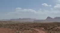
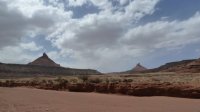
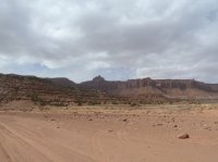
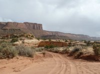
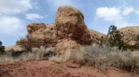
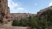
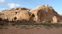
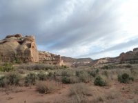
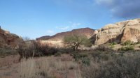
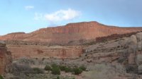
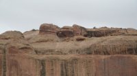
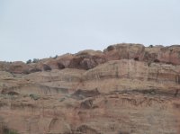
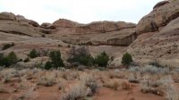
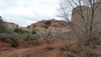
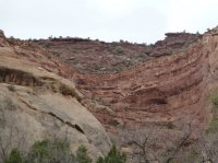
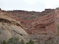
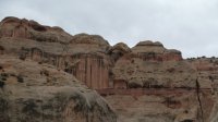
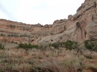
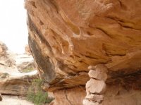
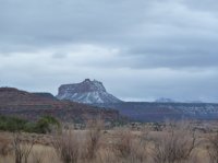
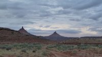
Being that I was stationed in Monticello for my work I left at about noon and arrived at the turn of in Indian Creek at about 1. The drive from the turnoff takes about an hour and a half and is not one that should be taken too lightly for there are plenty of parts where the sand gets deep enough to stop a vehicle if the momentum isn't great enough but my little 97 Subaru Outback handled it fine. When I arrived at the site I was reminded why Lavender is one of my favorite canyons in Southern Utah. The walls of the canyon tower a few hundred feet above the floor and have some of the most varied sandstone I have ever seen in one place. From red, to orange, to yellow striped cedar mesa sandstone with all its honeycomb facets to the dark red-purple Bridger Jack Mesa that towers above the canyon Lavender leaves little to be desired. That first night I just hung out at camp and checked out the the small side-canyon that the campsite is found in and revisited the small Anasazi ruin that I had found exactly a year prior on the 1st. After a short hike I ate and settled down for the night.
The next morning I awoke in a snow storm with a few inches of snow on the ground already. Just a nice reminder of how varied the weather changes in southern Utah. I waited a bit for the storm to clear up and had some breakfast and then set out on a dayhike with the intention of visiting the confluence of West Lavender and the Main Canyon where I had experience one of the most beautiful sunsets I have ever seen a year prior, and then continuing down one of the forks. From the park boundary the canyon follows the same sandy riverbed which makes hiking a bit frustrating at times but fortunately for me the sand was a bit harder from the snow which made hiking easier(Apparently most people ATV or Jeep Lavender but I saw no signs of vehicles). The "trail" passes a few arches in this upper part of the canyon one of them being Caterpillar arch and continues to the confluence where things get a bit narrower and grander, but the walking is still the same difficulty through flat sand...
At the confluence I decided to visit the spot I had been a year prior and then continue down West Lavender to do some exploring. As I got up on the sandstone buttress I had been a year before it started to snow and snow hard. Right as the clouds unleashed and I was beginning to think about finding some shelter I noticed a small yet perfectly intact Anasazi ruin along a dark red line of sandstone only a few hundred feet away from where I was standing that I had completely overlooked a year prior. How convenient! From there I scrambled up the wet sandstone and hunkered down in the ruin for the rest of the snowstorm which lasted about a half and hour to 45 minutes. Definitely not a bad place to watch a snowstorm pass though! By the way in this area there are hundreds of perfect little honeycomb holes wore in to the sandstone that are a real marvel to look at.
Anyway after the storm passed I climbed down the sandstone to the bottom of the canyon and proceeded to explore the majesty that is West Lavender Canyon. West Lavender has huge towering sandstone walls with high arches and overhanging amphitheaters. I continued down for about a mile and then for the first time in my life realized that I was completely out of water, which was strange for I had been carrying a 2.5 liter camelbak and hadn't hiked very far at all but with no choice left headed back to camp and back out the 15 mile road where I hung out in Indian Creek until dark. Then back to Monticello.
Lavender canyon is without a doubt in my top 5 places in southern Utah for its unique and yet iconic sandstone formations and the fact that no one seems to go there at all. I know it would seem counter-intuitive for me to say this being that I am posting information about it but SHHHHHHH, lets keep Lavender canyon sparsely visited


