John Morrow
Member
- Joined
- May 22, 2015
- Messages
- 1,102
Three days of walking and scrambling, beginning with a short day on the 28th in advance of a strong wet cold front. Well, almost advance, I ended up getting caught in heavy hail and rain and lightning on the top of Black Mesa. Vertical ground strike over Lake Mead sent me running! Short hike from the Callville Bay Road. Camped at Callville Bay, puddles formed deep outside the tent through the night.
Black Mesa in the T-storm by John Morrow, on Flickr
Muddy Mountains storm by John Morrow, on Flickr
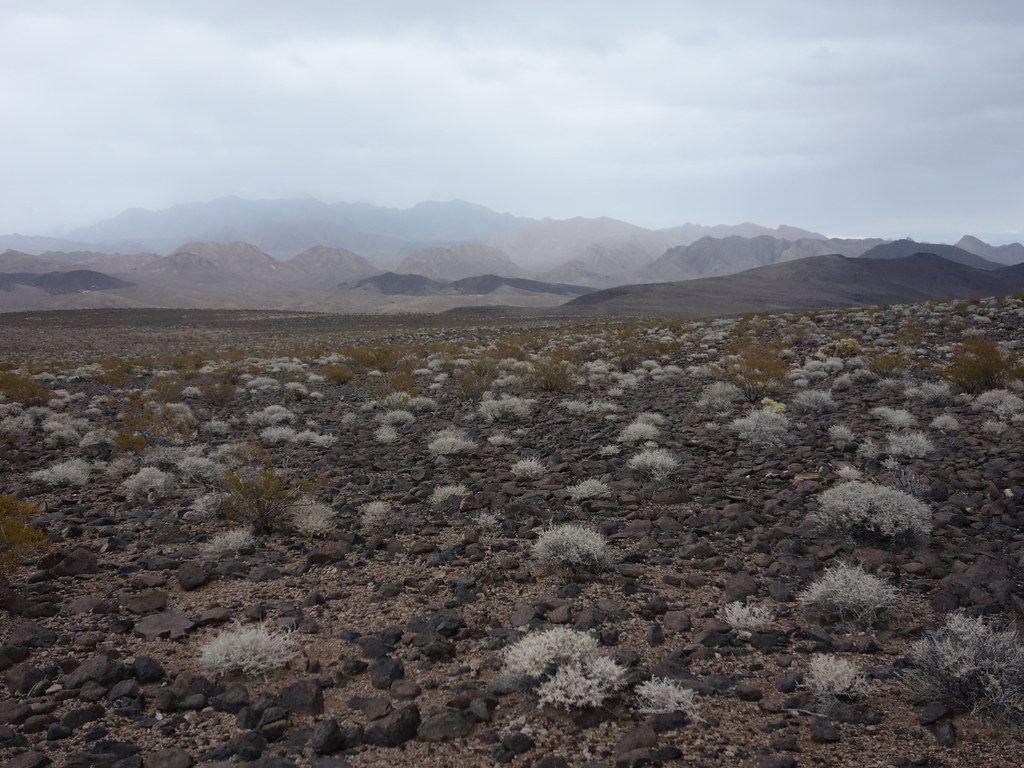
On the 29th I was low energy through the gusty blasts of wind so I opted for a couple road side jaunts. Surprisingly, the scrambling was quite excellent.
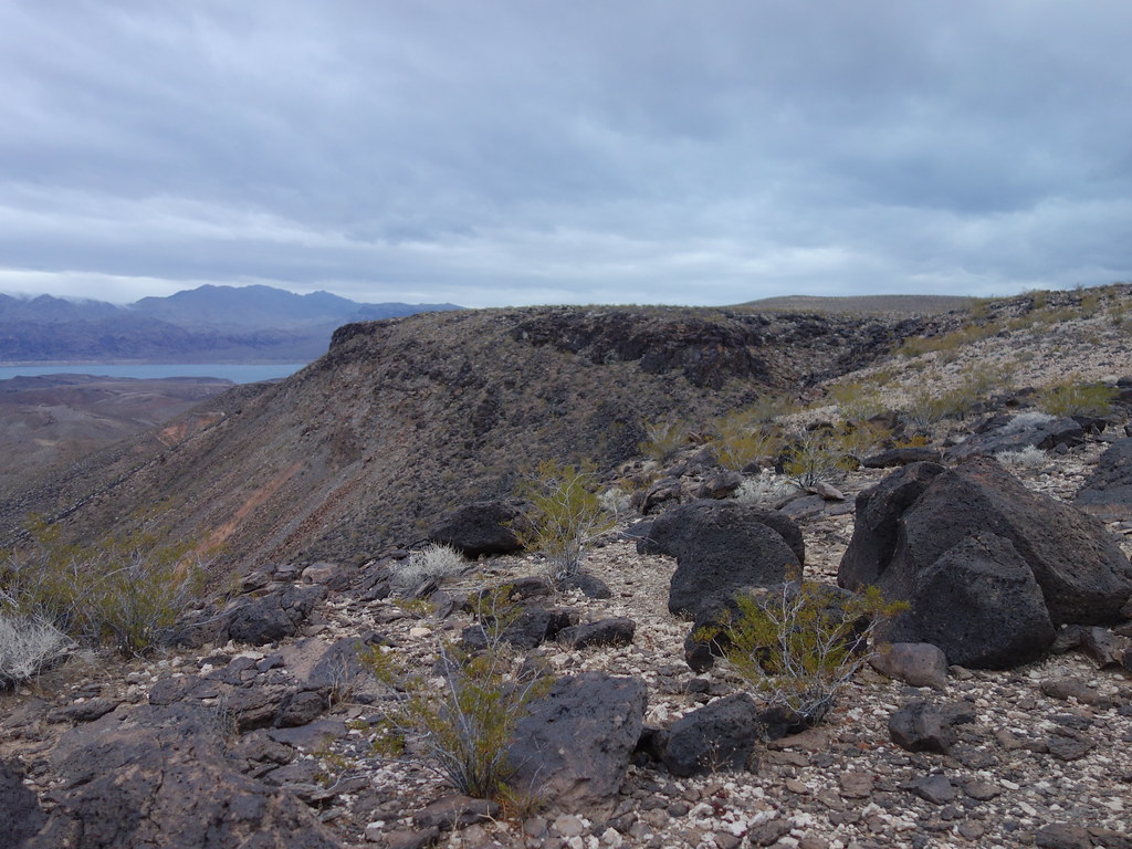
Echo Hills, SW spur of the SE Ridge made for a fun Class 3 scramble, descending the center of the south side.
SW Ridge of SE Ridge Echo Hills HP by John Morrow, on Flickr
View East to Gold Butte by John Morrow, on Flickr
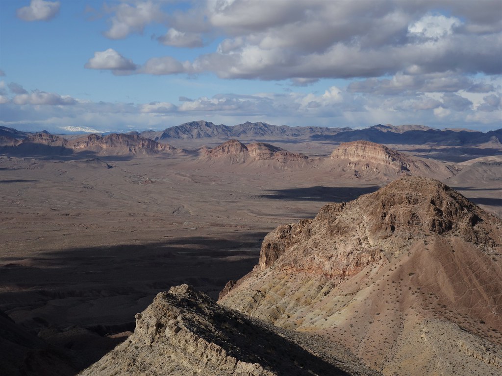
Bitter Ridge NW by John Morrow, on Flickr
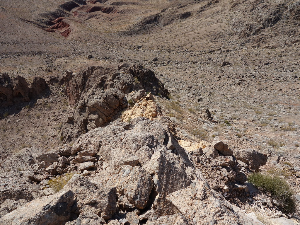
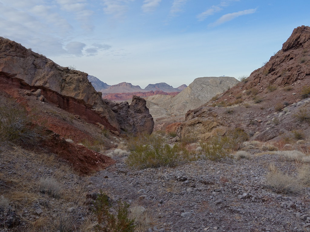
Then I was back into the car to another pull out of the North Shore Road to go up fun limestone slabs on the north side of Pinto Ridge. I returned via a nice shallow tight canyon to the NE with easy dryfall scrambles and bypasses.
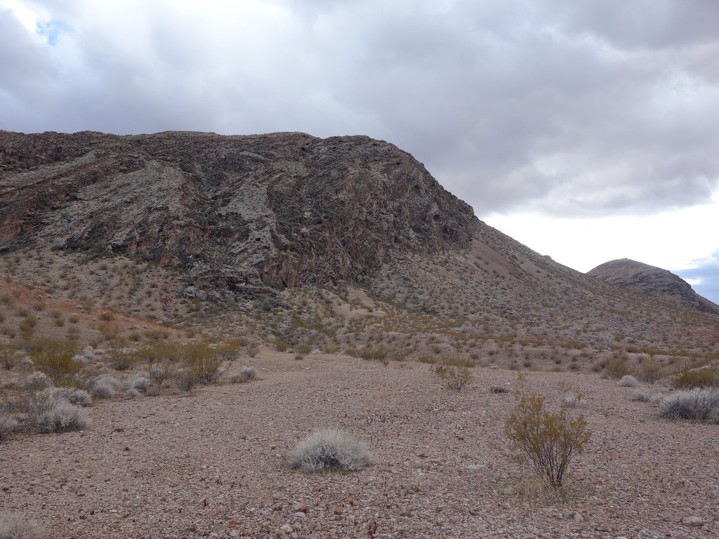
Silvery limestone N Ridge of Pinto Ridge by John Morrow, on Flickr
Sentinel, Pyramid, Saddle by John Morrow, on Flickr
descending Pinto Ridge NE draw by John Morrow, on Flickr
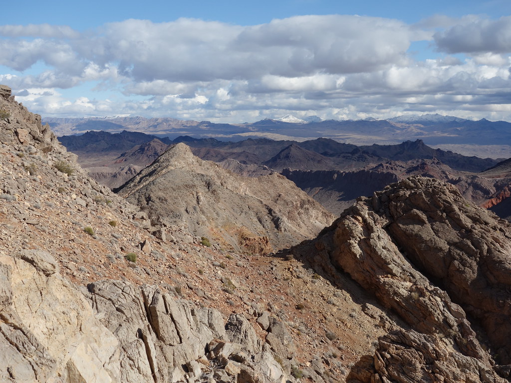
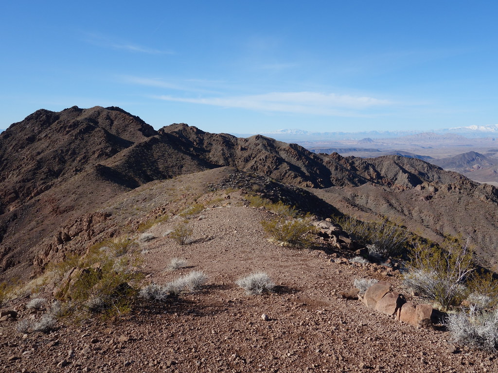
On the 30th I was feeling ready for a longer hike and stitched together a wonderful ridge run loop of a number of peaks along segments of quite enjoyable scrambling up to Class 3. Beginning at the Cottonwood Wash Trailhead it went like this:
North Ridge Jacal-->
East Ridge Hamblin-->
North Ridhe West Hamblin-->
South Ridge Hamblin Butte-->
West Ridge Basalt Peak-->
Cottonwood TH
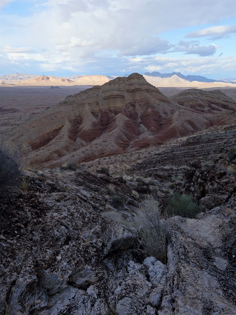
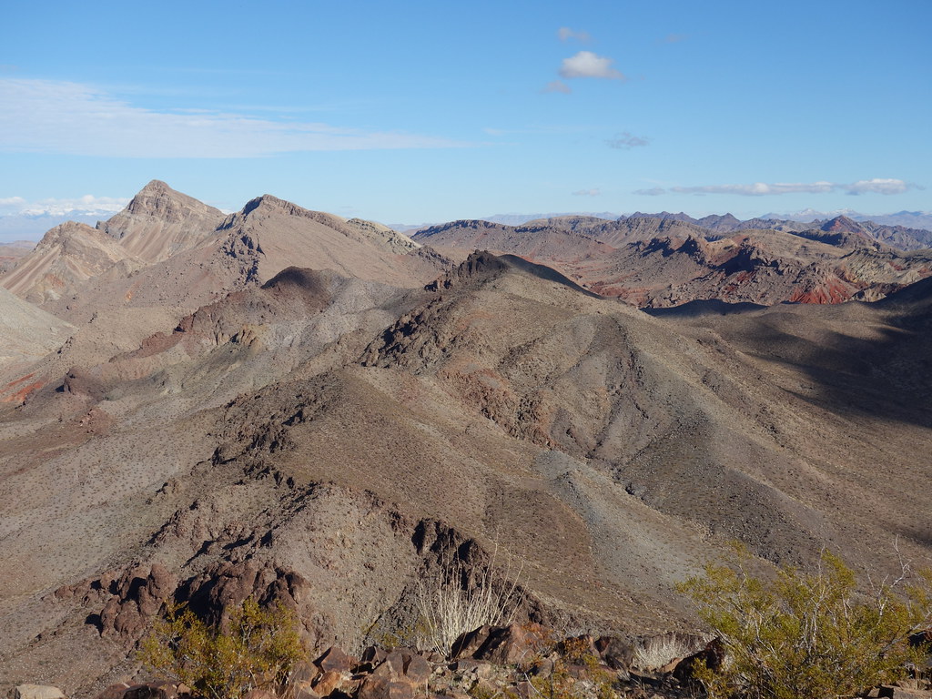
Above Cottonwood Wash by John Morrow, on Flickr

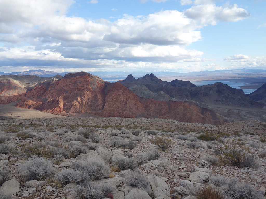
Razorback and Pinto Ridges by John Morrow, on Flickr
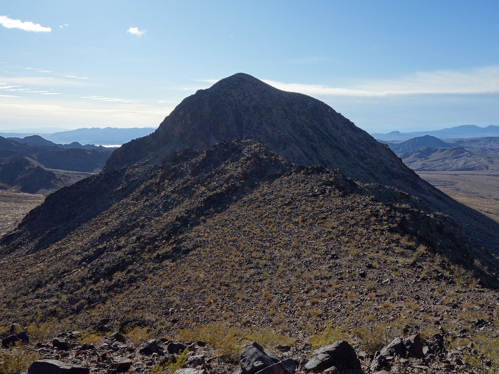
Jacal Peak by John Morrow, on Flickr
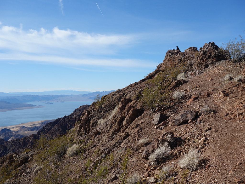
Raven gurads Hamblin Summit by John Morrow, on Flickr
Headed for West Hamblin Mountain by John Morrow, on Flickr
W. Hamblin great scrambling by John Morrow, on Flickr
Crescent shaped ridge looks fun by John Morrow, on Flickr
solid fine scramble by John Morrow, on Flickr
ran that skyline by John Morrow, on Flickr
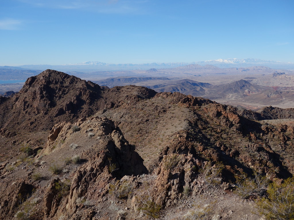
Lastly toward Basalt Peak's long West Ridge by John Morrow, on Flickr
Basalt Peak's west ridge by John Morrow, on Flickr
A nice wash finish into Cottonwood Wash by John Morrow, on Flickr
This is a very fun loop. Should be easy to see the route on a map, I could upload one if desired.
Full pics set explains the whole story:
https://www.flickr.com/photos/23557848@N03/albums/72157712496067682
Black Mesa in the T-storm by John Morrow, on Flickr
Muddy Mountains storm by John Morrow, on Flickr
On the 29th I was low energy through the gusty blasts of wind so I opted for a couple road side jaunts. Surprisingly, the scrambling was quite excellent.
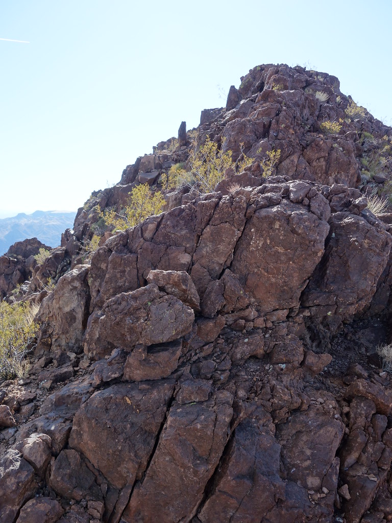
Echo Hills, SW spur of the SE Ridge made for a fun Class 3 scramble, descending the center of the south side.
SW Ridge of SE Ridge Echo Hills HP by John Morrow, on Flickr
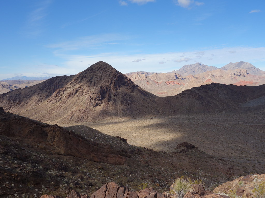
View East to Gold Butte by John Morrow, on Flickr
Bitter Ridge NW by John Morrow, on Flickr
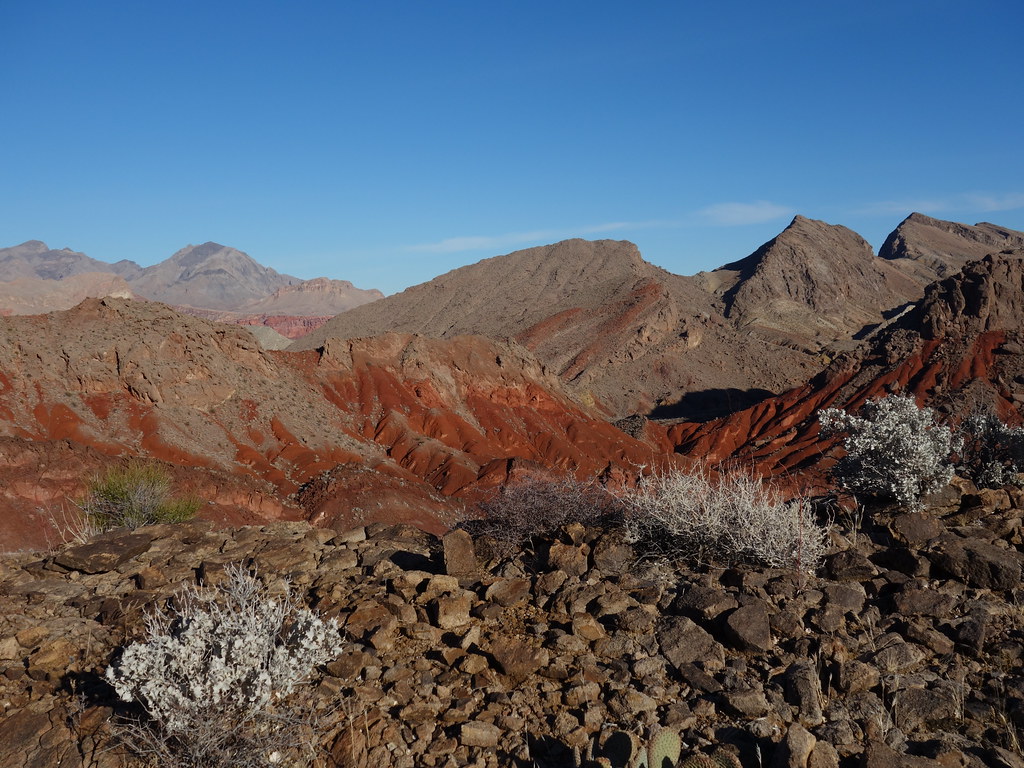
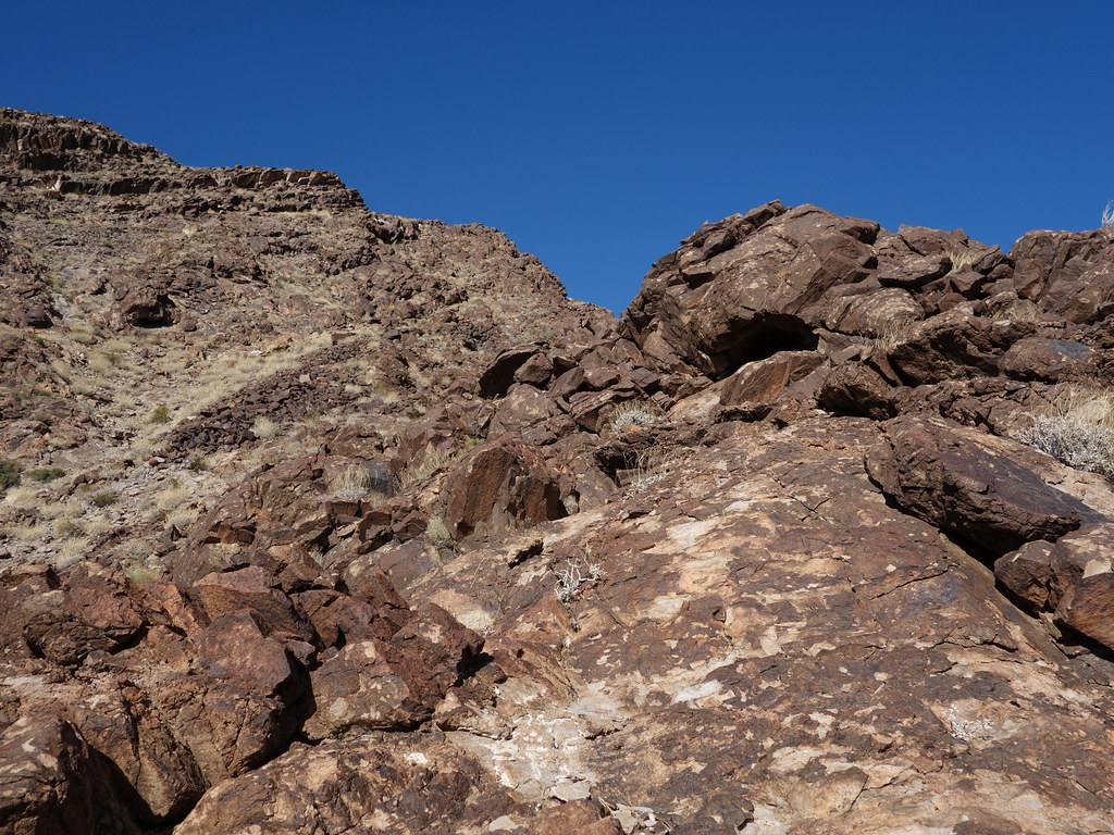
Then I was back into the car to another pull out of the North Shore Road to go up fun limestone slabs on the north side of Pinto Ridge. I returned via a nice shallow tight canyon to the NE with easy dryfall scrambles and bypasses.
Silvery limestone N Ridge of Pinto Ridge by John Morrow, on Flickr
Sentinel, Pyramid, Saddle by John Morrow, on Flickr
descending Pinto Ridge NE draw by John Morrow, on Flickr
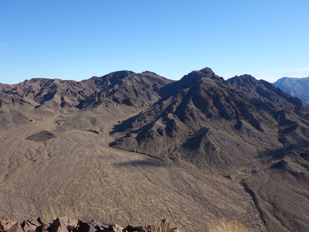
On the 30th I was feeling ready for a longer hike and stitched together a wonderful ridge run loop of a number of peaks along segments of quite enjoyable scrambling up to Class 3. Beginning at the Cottonwood Wash Trailhead it went like this:
North Ridge Jacal-->
East Ridge Hamblin-->
North Ridhe West Hamblin-->
South Ridge Hamblin Butte-->
West Ridge Basalt Peak-->
Cottonwood TH
Above Cottonwood Wash by John Morrow, on Flickr
Razorback and Pinto Ridges by John Morrow, on Flickr
Jacal Peak by John Morrow, on Flickr
Raven gurads Hamblin Summit by John Morrow, on Flickr
Headed for West Hamblin Mountain by John Morrow, on Flickr
W. Hamblin great scrambling by John Morrow, on Flickr
Crescent shaped ridge looks fun by John Morrow, on Flickr
solid fine scramble by John Morrow, on Flickr
ran that skyline by John Morrow, on Flickr
Lastly toward Basalt Peak's long West Ridge by John Morrow, on Flickr
Basalt Peak's west ridge by John Morrow, on Flickr
A nice wash finish into Cottonwood Wash by John Morrow, on Flickr
This is a very fun loop. Should be easy to see the route on a map, I could upload one if desired.
Full pics set explains the whole story:
https://www.flickr.com/photos/23557848@N03/albums/72157712496067682
Last edited:


