- Joined
- Aug 8, 2016
- Messages
- 2,077
The Uinta Mountains Blacks Fork River drainages seem to have captured my fascination this summer. After having explored Middle Fork a couple of times I decided to move westerly to explore the West Fork Blacks Fork. Of course most of you Uintas aficionados know that the infamous Dead Horse Pass lives at the head of this fork. With all of the snow this year the big question on many minds is the condition of this pass. Having been over Dead Horse in 2017 and seeing beautiful Dead Horse Lake I was eager to see them once again.
Here is a video of the day's adventures if you care to come along with me. If not, read on!
I arrived in the drainage in the 7am hour ready to head out. Morning glow greeted me, getting me excited to get going.
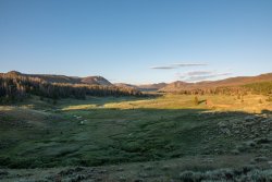
I arrived at the river ford around 7am in the morning. With the river running high crossing with the truck was not an option. I would have to wade across and put in the extra 1.4 miles to the trail head. I generally try to avoid wet water crossing but have been embracing them much more this year, trying to gain more experience and confidence. Dry shoes would not be an option on this trip!
Once on the other side I found that the road to the trail head appeared to have been much improved from what I remembered from a couple of years ago. Being in such good shape it will be nice to be able to drive to the trail head once the river level subsides. At the trail head I signed the register and was on my way down the trail.
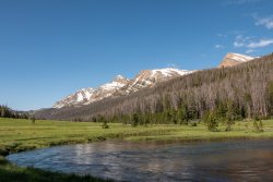
Beautiful meadows surrounded by magnificent peaks would be the theme for the day.
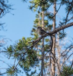
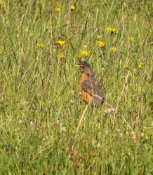
A couple of avian friends kept me company.
The head of the drainage comes into view. North Beulah, Mt Beulah and North Allsop peaks would watch over me for much of the trip.
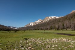
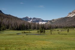
The wild flowers were getting a good start in Buck Pasture.
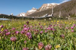
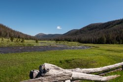
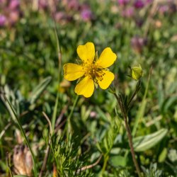
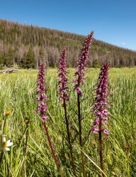
After taking a lunch break in Buck Pasture I headed back on the trail.
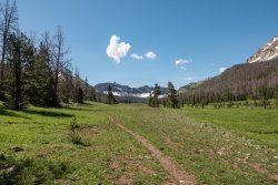
First look at Dead Horse Pass with the long lens.
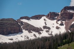
Red Knob Peak on my left.
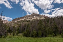
A little further up, looking back revealed Red Knob Peak and Red Knob. The Highline Trail passes from the right side of Red Knob on down to the left and into to this area. I would meet up with the Highline shortly.
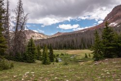
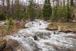
Much snow still melting everywhere up here. Streams running full and fast.
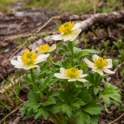
More wildflowers getting going in the basin.
One of my favorite views in the Uintas.

Arriving at Dead Horse lake to find ice still present in the water. Stunning! Stunning! Stunning!
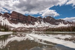
A local view of Dead Horse Pass on the left.
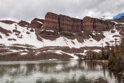
I took a short break on the north shore to hydrate and eat some snacks. With a long way back I couldn't stay as long as I wished. I could easily have sat there for hours just soaking up the majesty. And the best part... no mosquitoes at the lake yet!
Just love Uintas cliffs!
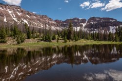
The weather was improving on the way down, sunshine increased. Yay!
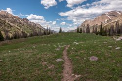
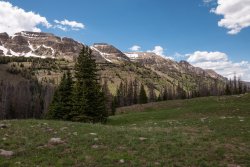
A nice view of Mt Beulah and her cohorts.
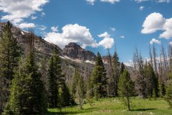
A parting bonus as I stopped to sign out of the trail register.
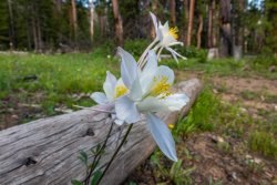
All in all I think I crossed about 24 creeks and rivers through the day. Water, water everywhere. The main river had risen during the day, which I should have expected. My final crossing ended up being all the way up to my crotch.
It was quite a trip. At 23.4 miles it was a new personal best for a day. I was exhausted but loved every minute.
Here is a video of the day's adventures if you care to come along with me. If not, read on!
I arrived in the drainage in the 7am hour ready to head out. Morning glow greeted me, getting me excited to get going.

I arrived at the river ford around 7am in the morning. With the river running high crossing with the truck was not an option. I would have to wade across and put in the extra 1.4 miles to the trail head. I generally try to avoid wet water crossing but have been embracing them much more this year, trying to gain more experience and confidence. Dry shoes would not be an option on this trip!
Once on the other side I found that the road to the trail head appeared to have been much improved from what I remembered from a couple of years ago. Being in such good shape it will be nice to be able to drive to the trail head once the river level subsides. At the trail head I signed the register and was on my way down the trail.
Beautiful meadows surrounded by magnificent peaks would be the theme for the day.

A couple of avian friends kept me company.


The head of the drainage comes into view. North Beulah, Mt Beulah and North Allsop peaks would watch over me for much of the trip.


The wild flowers were getting a good start in Buck Pasture.


After taking a lunch break in Buck Pasture I headed back on the trail.

First look at Dead Horse Pass with the long lens.

Red Knob Peak on my left.

A little further up, looking back revealed Red Knob Peak and Red Knob. The Highline Trail passes from the right side of Red Knob on down to the left and into to this area. I would meet up with the Highline shortly.

Much snow still melting everywhere up here. Streams running full and fast.

More wildflowers getting going in the basin.

One of my favorite views in the Uintas.

Arriving at Dead Horse lake to find ice still present in the water. Stunning! Stunning! Stunning!

A local view of Dead Horse Pass on the left.

I took a short break on the north shore to hydrate and eat some snacks. With a long way back I couldn't stay as long as I wished. I could easily have sat there for hours just soaking up the majesty. And the best part... no mosquitoes at the lake yet!
Just love Uintas cliffs!

The weather was improving on the way down, sunshine increased. Yay!


A nice view of Mt Beulah and her cohorts.

A parting bonus as I stopped to sign out of the trail register.

All in all I think I crossed about 24 creeks and rivers through the day. Water, water everywhere. The main river had risen during the day, which I should have expected. My final crossing ended up being all the way up to my crotch.
It was quite a trip. At 23.4 miles it was a new personal best for a day. I was exhausted but loved every minute.
Last edited:
