Udink
Still right here.
- Joined
- Jan 17, 2012
- Messages
- 1,748
I originally expected this post to be titled "Indian Creek and Davis Canyon," but I underestimated the awesomeness of Indian Creek. Alan and I spent eight hours on Saturday exploring along a stretch of UT-211 just over four miles long and found hundreds of petroglyphs and a few pictographs. I took over 700 photos--my new record for a single day--and Alan took nearly 1,000! We were finding so much rock art along Indian Creek that we never made it to Davis Canyon, and even during the drive back out of Indian Creek we were spotting rock art that we'd missed on the way in. At some point one has to draw the line, though, and if we wanted to make it home before summer we needed to just keep on driving.
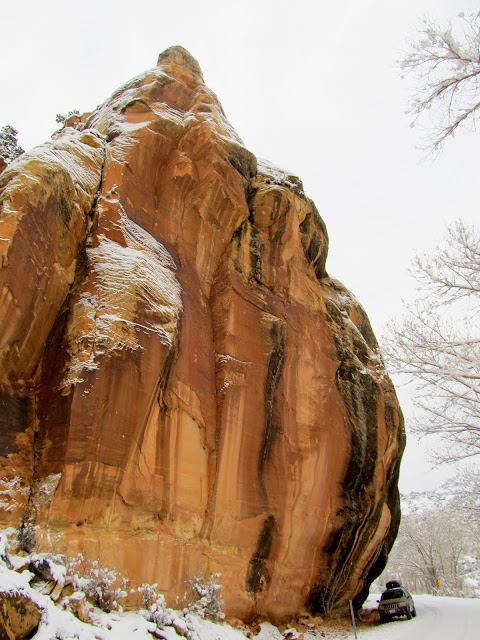
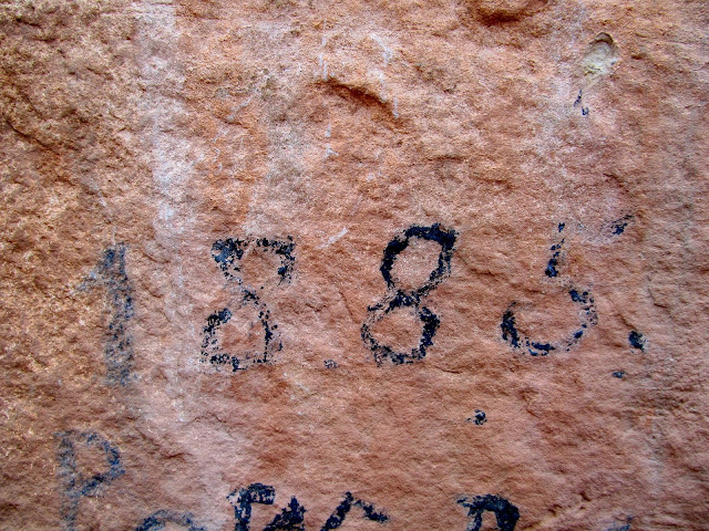
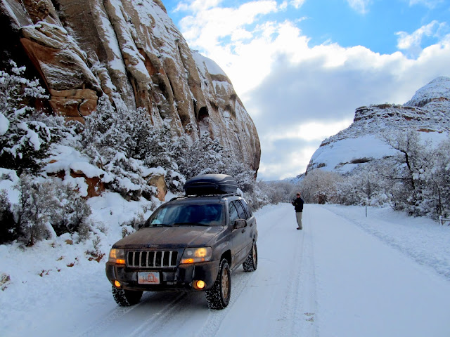
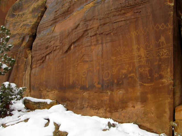
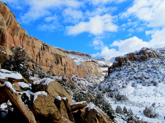
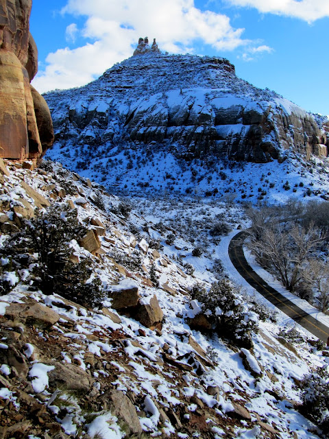
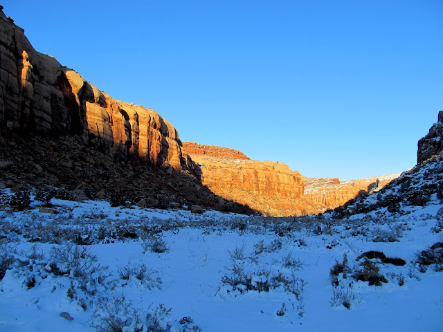
Alan planned the trip and we got the usual 6AM start from my place. There was a lot of fog between I-70 and Moab, and south of Moab the roads were snow-covered. We hadn't planned on there being several inches of new snow in Indian Creek Canyon but it didn't hinder us much. We stopped first just around the corner from Newspaper Rock and looked at some petroglyphs and inscriptions from the late 1800s and early 1900s. Newspaper Rock was mostly covered with snow. I didn't really mind the snow over the rock art--it gave it a uniqueness not often seen.
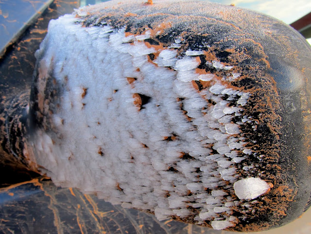
Ice crystals that grew in columns on the Jeep while driving through fog on the way to Moab
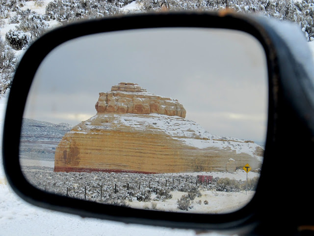
Church Rock in the mirror from UT-211
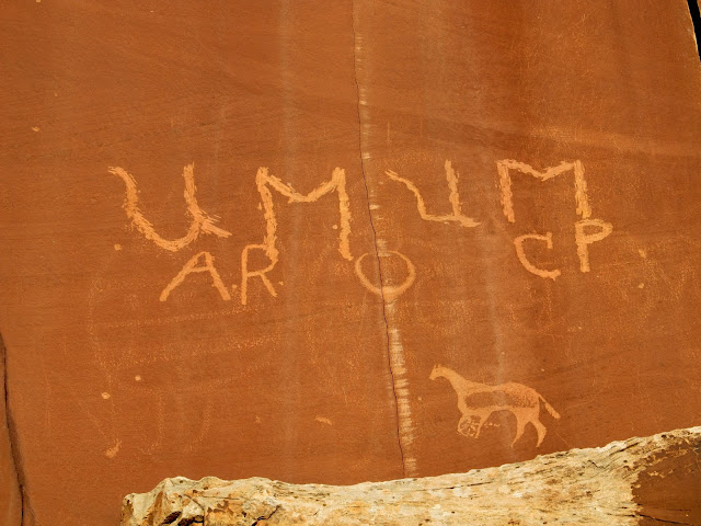
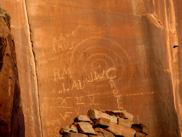
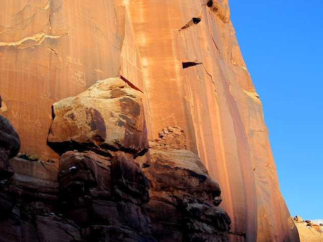
Cliffs with old inscriptions and petroglyphs
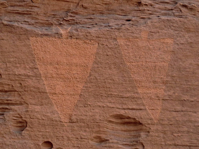
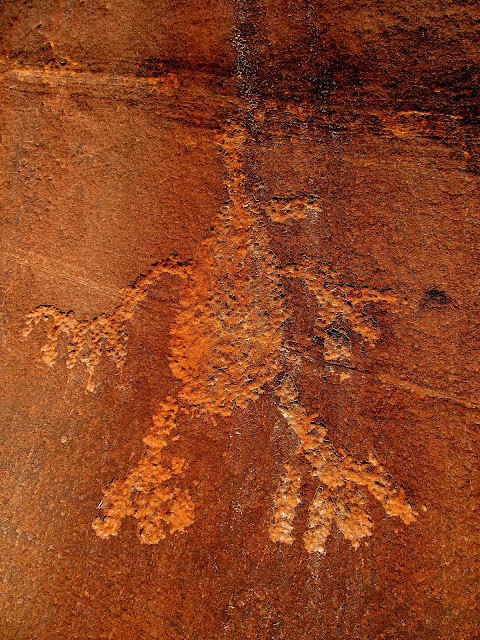
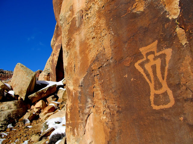
Petroglyphs
Part of an 1885 inscription
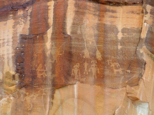
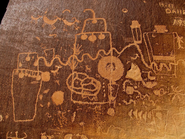
Newspaper Rock
Newspaper Rock
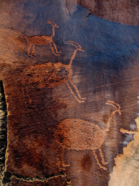
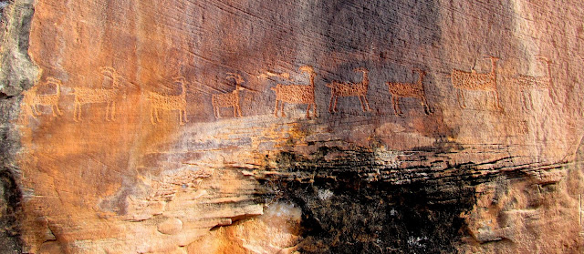
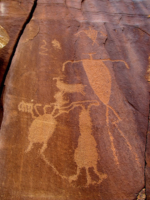
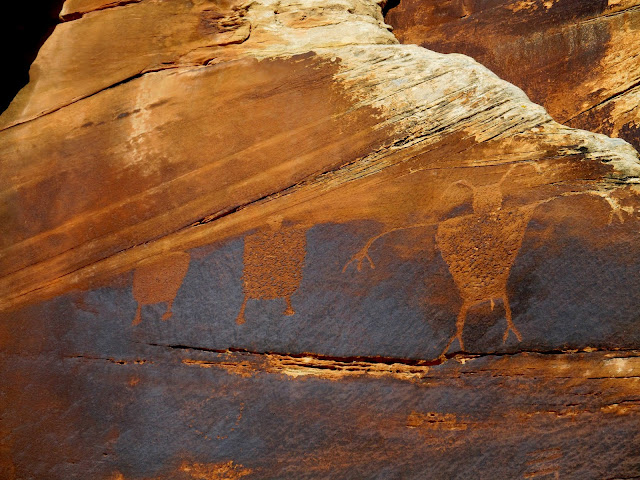
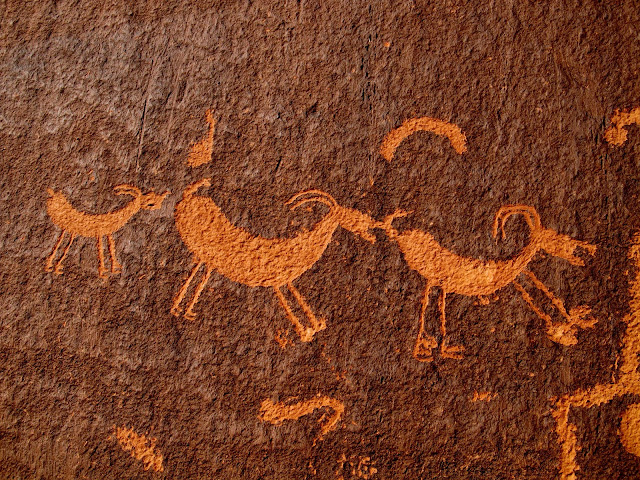
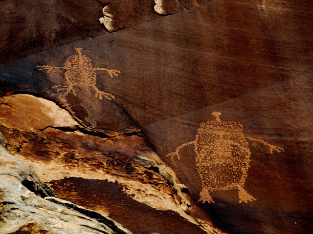
We didn't have a lot of stops planned for this trip. There were some places where Alan knew of rock art, but for the most part we just drove slowly and stopped whenever either of us saw something. The next stop after Newspaper Rock was one such place with some petroglyphs spotted from the Jeep. There was so little traffic, and so much snow on the shoulder of the road, that I just parked in the travel lane with the hazard lights flashing. There was a very nice panel there with three large bighorn sheep, and nearby was a row of nine smaller sheep.
Three sheep
Checking out some petroglyphs we spotted from the road
Petroglyphs
Nine sheep
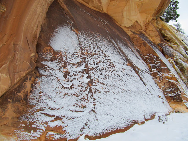
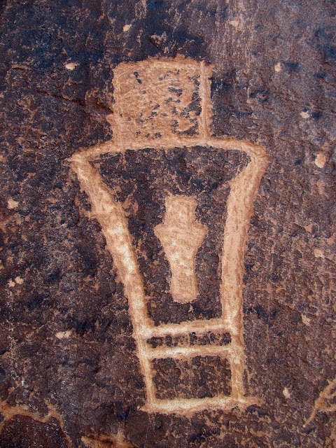
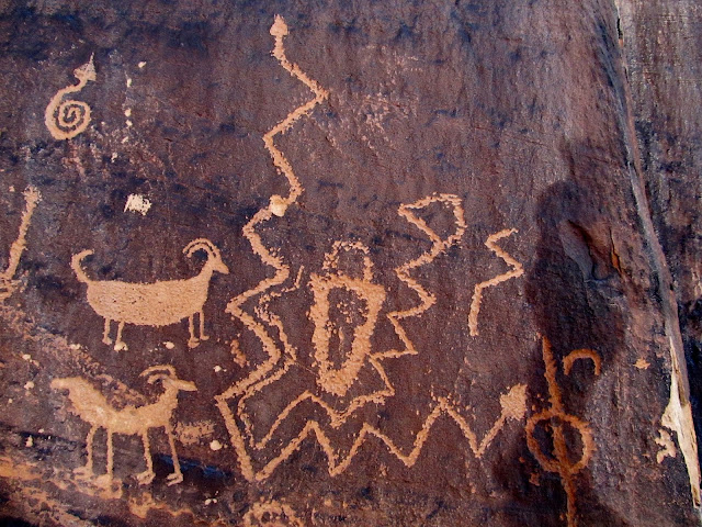
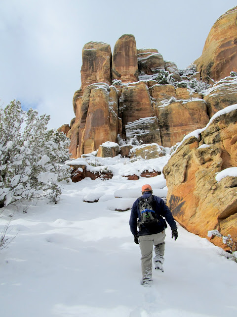
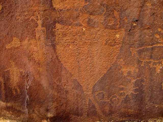
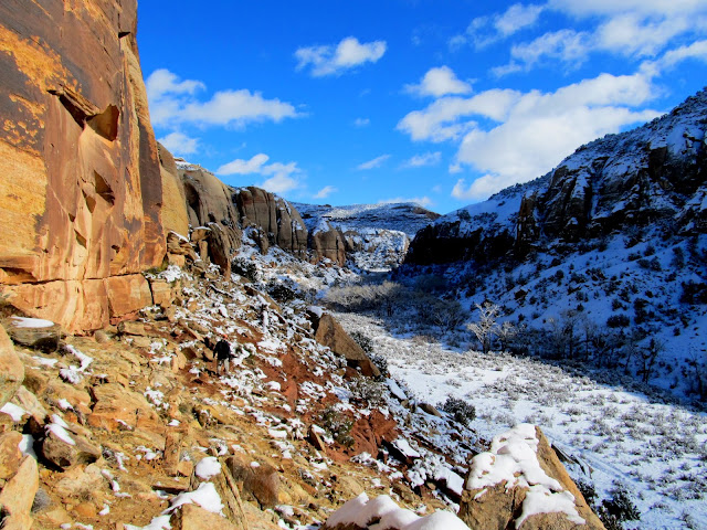
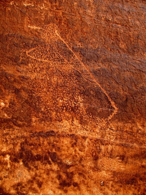
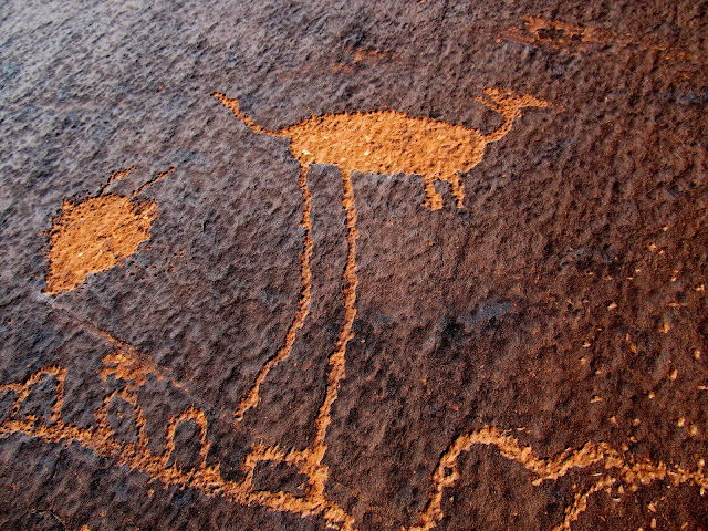
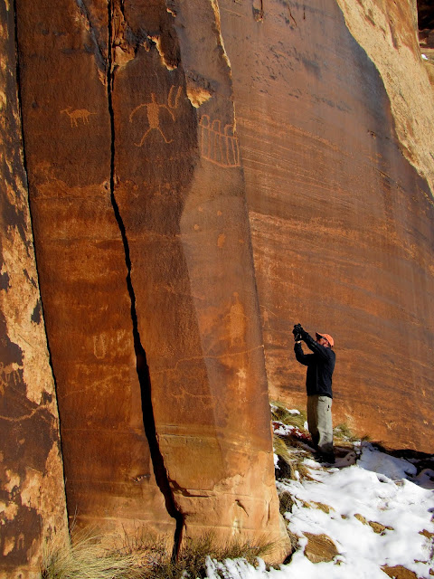
We made frequent stops and they all blurred into one another. I lost track of the number of individual sites we visited. Some rock art panels were very close to road level and others were up steep talus slopes. Most of the sites were within spitting distance of the road but we did hike up a few side canyons. The photos tell the story better than a narrative, so here are a bunch of 'em.
Sun petroglyph spotted from the road
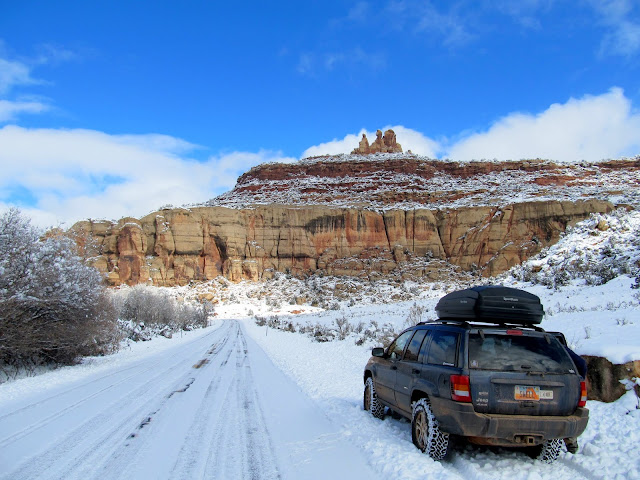
Parked on UT-211 looking for rock art
Petroglyphs
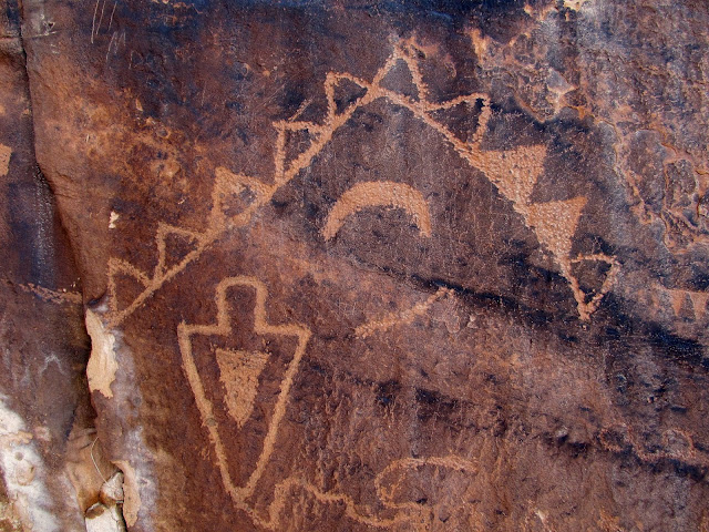
Figure inside a figure
Many snake petroglyphs
Hiking up to some petroglyphs
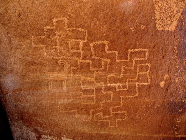
Petroglyphs
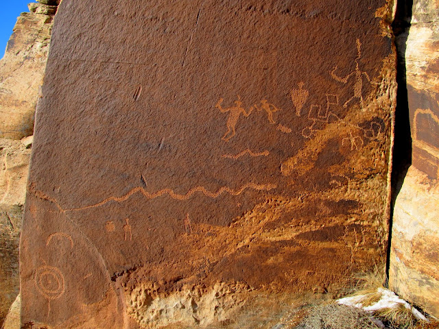
Large petroglyph panel
Petroglyphs
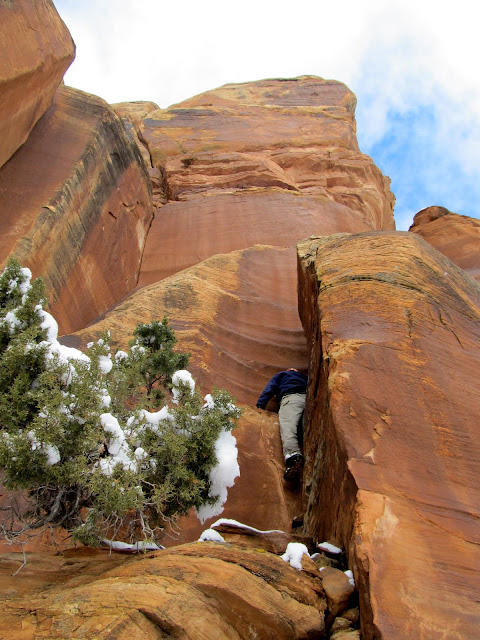
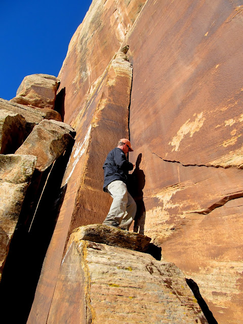
Climbing down from some very high petroglyphs
Petroglyphs
Parked along UT-211
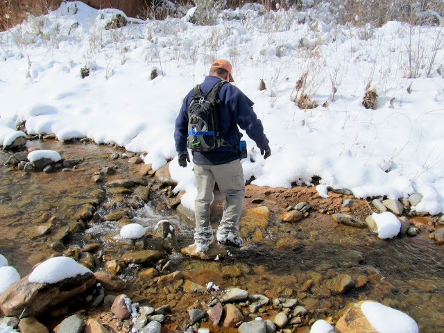
Crossing Indian Creek
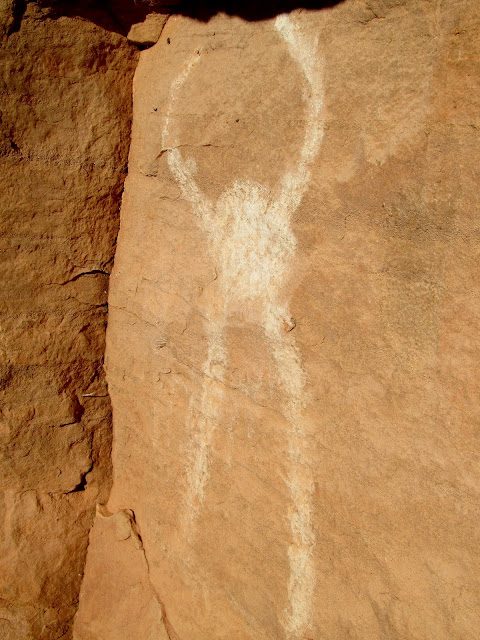
Very faded pictograph
Unnamed side canyon
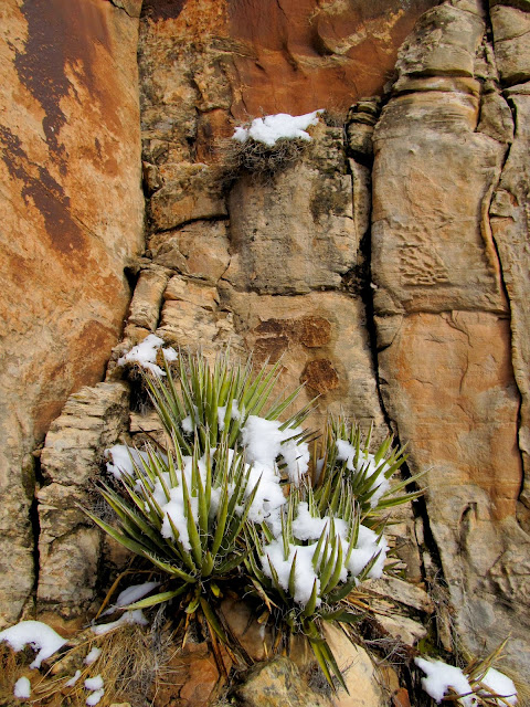
Yucca and snow
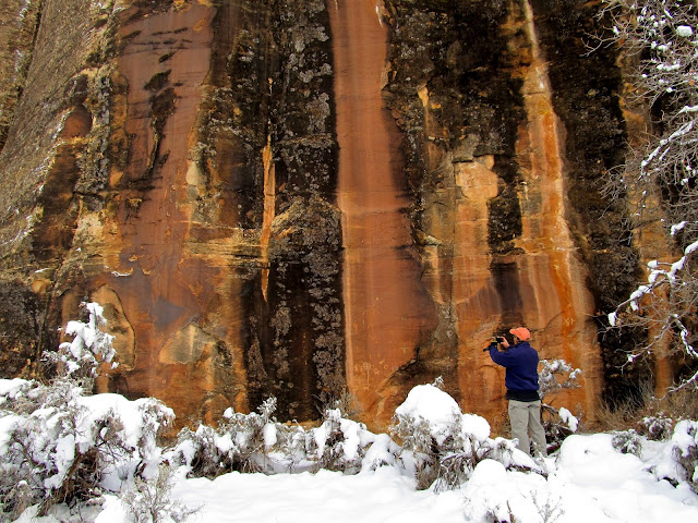
Alan getting a closer look at some petroglyphs
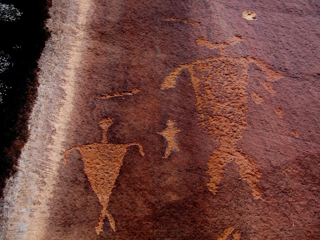
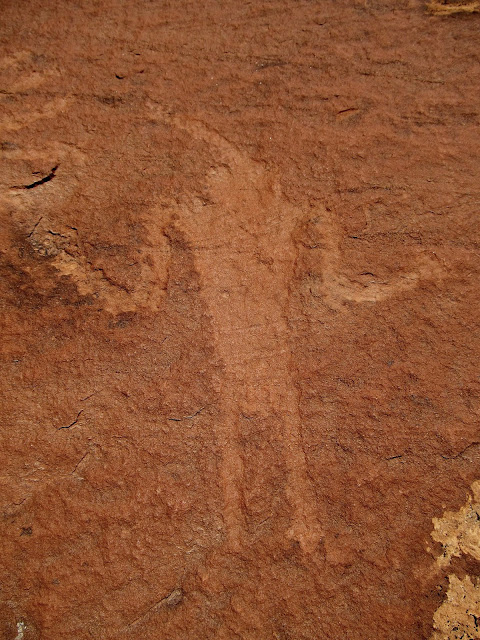
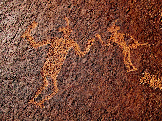
Three figures
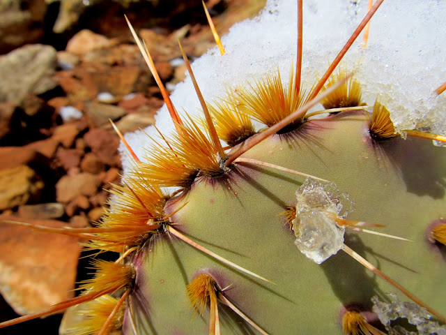
Large prickly pear cactus
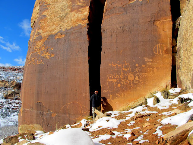
Large and very cool petroglyph panel (there are even some glyphs inside the crack)
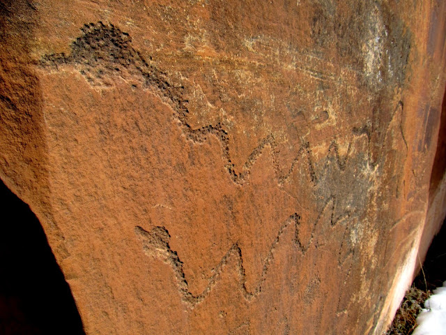
Long snake petroglyphs
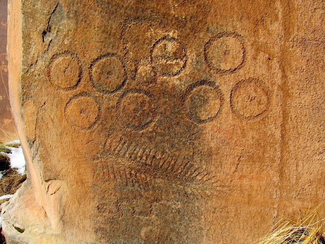
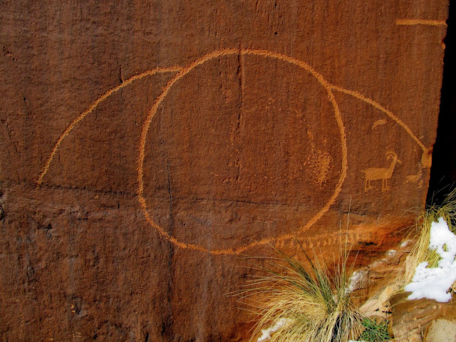
Centipede and circles
Petroglyphs
Three sheep
Big-foot archer
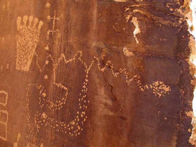
Petroglyphs
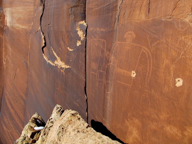
Faintly-abraded figure with some petroglyphs
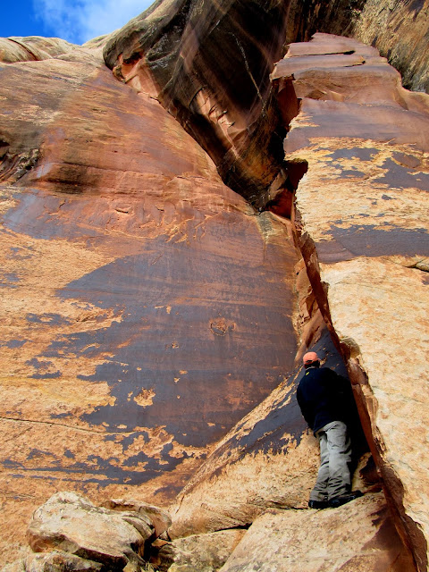
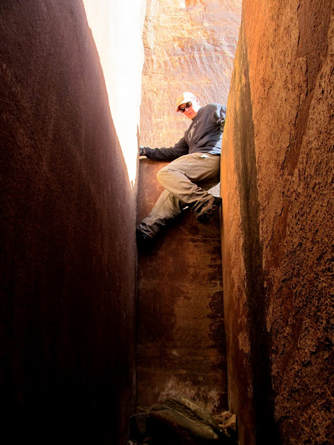
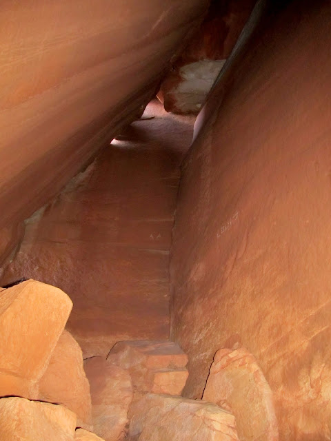
Large abraded figures only reachable by climbing up a crack between a boulder and the cliff
Climbing down the crack
Side canyon
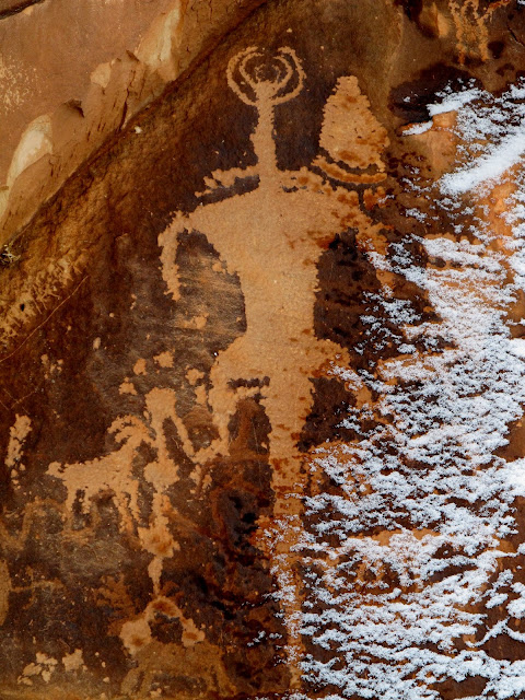
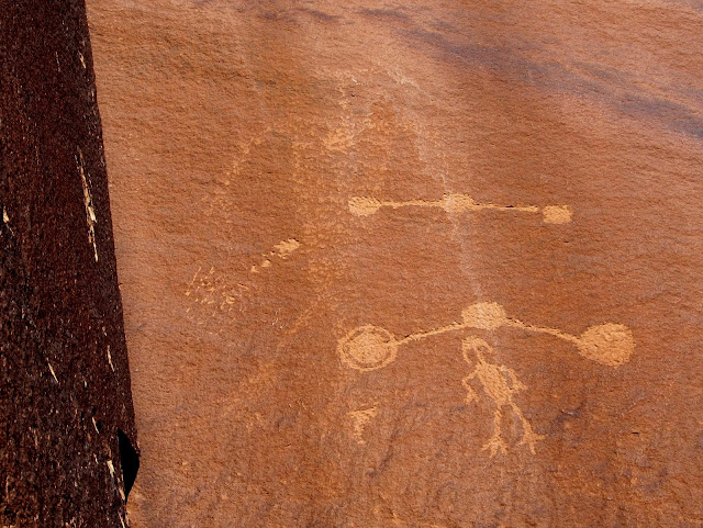
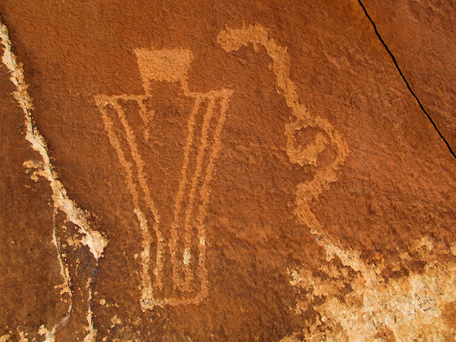
Very cool flute player
Kangaroo
High and low petroglyphs
Petroglyphs
Two (or three?) figures
View up the canyon
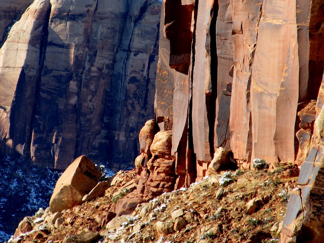
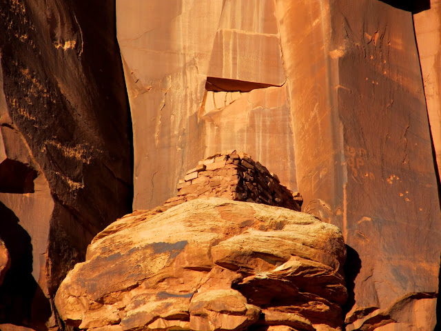
As we approached our last planned stop I took a breather while scrambling up a steep hill and trained my binoculars on the cliffs farther down the canyon. I spotted a granary 0.3 miles away and hoped we'd have time to hiked up to it before the sun set. The panel we were hiking up to, called Fighting Men, had a lot of other great petroglyphs near it. It took Alan and I a while to clear the cliffs in each direction before being sure we'd seen it all, then moved on toward the granary.
A granary that I spotted through binoculars from 0.3 miles away
Inside-outside
Petroglyphs
Petroglyphs
Petroglyphs
Petroglyphs
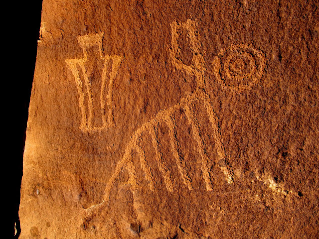
Petroglyphs
White pictograph
Getting the shot up high
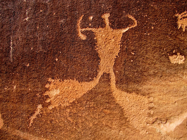
Fighting Men panel
Fighting Men
Petroglyphs
We got up to the granary while the sun was still shining. There were a few large abraded (as opposed to pecked) petroglyphs near the granary, along with a LOT of inscriptions. Shadows rose on the cliff walls as Alan and I searched them for more rock art. We found a few more petroglyphs, and I found a cave-like feature but it was too dark for me to explore fully. I took a few photos with the flash on but it wasn't until after getting home and viewing the photos on my computer that I realized there was an 1899 inscription and some petroglyphs inside.
Granary
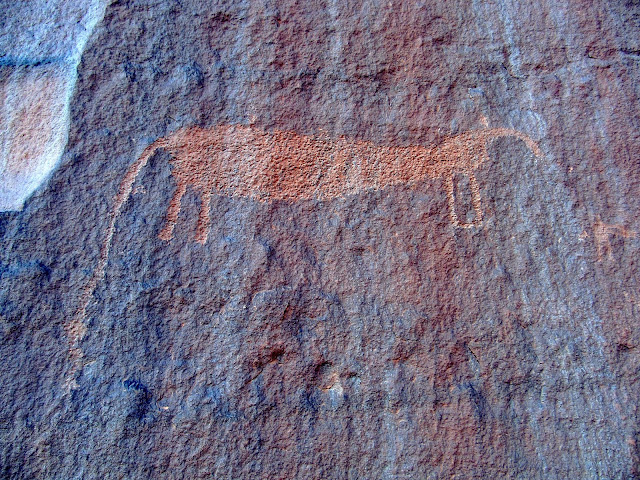
Old inscriptions, abraded shield figures, and probably a Ute horse petroglyph
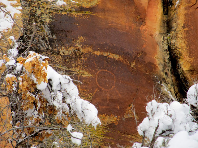
Inscriptions and concentric circle petroglyph above the granary
Sun setting on the granary
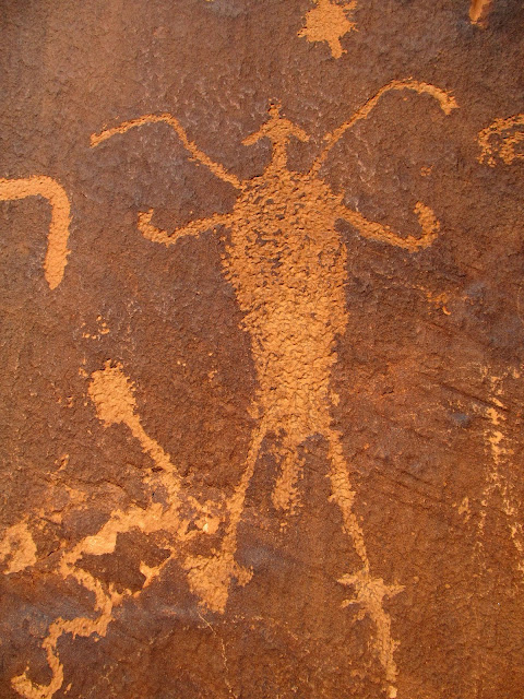
Odd petroglyph
Inside the cave near the granary
Shadows rising on the cliffs of Indian Creek
It got cold quickly with the sun behind the western canyon walls. There was a lot more to see but our exploration was over for the day. It's somewhat of a long drive for just a daytrip, but I can foresee me going back to Indian Creek again a few more times.
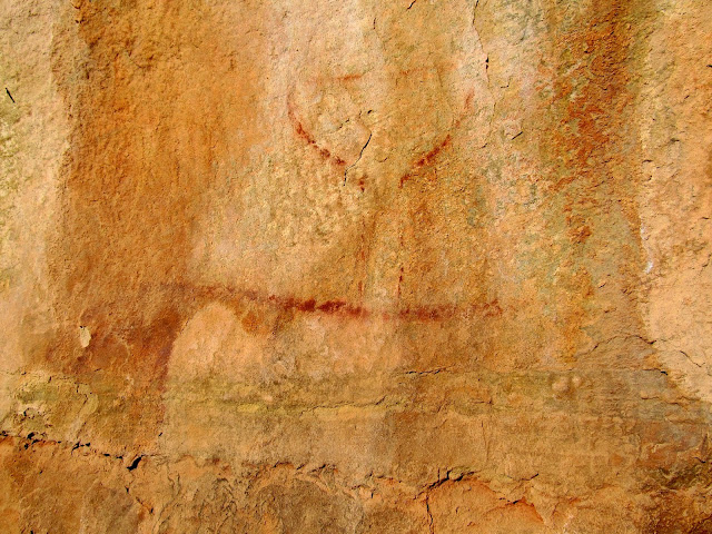
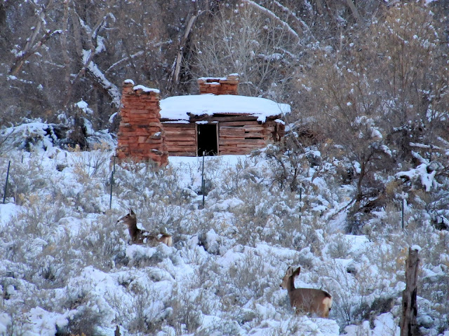
Deer and an old cabin
Donnelly Canyon
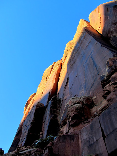
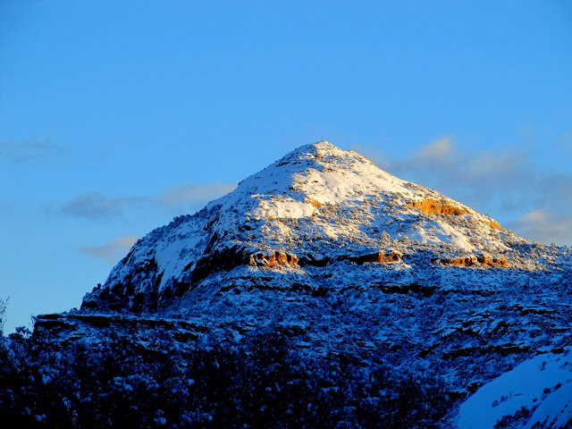
Peak 7,010' (directly west of Newspaper Rock)
Full photo gallery:
https://picasaweb.google.com/Dennis.Udink/IndianCreek
Featured image for home page:

Alan planned the trip and we got the usual 6AM start from my place. There was a lot of fog between I-70 and Moab, and south of Moab the roads were snow-covered. We hadn't planned on there being several inches of new snow in Indian Creek Canyon but it didn't hinder us much. We stopped first just around the corner from Newspaper Rock and looked at some petroglyphs and inscriptions from the late 1800s and early 1900s. Newspaper Rock was mostly covered with snow. I didn't really mind the snow over the rock art--it gave it a uniqueness not often seen.
Ice crystals that grew in columns on the Jeep while driving through fog on the way to Moab
Church Rock in the mirror from UT-211
Cliffs with old inscriptions and petroglyphs
Petroglyphs
Part of an 1885 inscription
Newspaper Rock
Newspaper Rock
We didn't have a lot of stops planned for this trip. There were some places where Alan knew of rock art, but for the most part we just drove slowly and stopped whenever either of us saw something. The next stop after Newspaper Rock was one such place with some petroglyphs spotted from the Jeep. There was so little traffic, and so much snow on the shoulder of the road, that I just parked in the travel lane with the hazard lights flashing. There was a very nice panel there with three large bighorn sheep, and nearby was a row of nine smaller sheep.
Three sheep
Checking out some petroglyphs we spotted from the road
Petroglyphs
Nine sheep
We made frequent stops and they all blurred into one another. I lost track of the number of individual sites we visited. Some rock art panels were very close to road level and others were up steep talus slopes. Most of the sites were within spitting distance of the road but we did hike up a few side canyons. The photos tell the story better than a narrative, so here are a bunch of 'em.
Sun petroglyph spotted from the road
Parked on UT-211 looking for rock art
Petroglyphs
Figure inside a figure
Many snake petroglyphs
Hiking up to some petroglyphs
Petroglyphs
Large petroglyph panel
Petroglyphs
Climbing down from some very high petroglyphs
Petroglyphs
Parked along UT-211
Crossing Indian Creek
Very faded pictograph
Unnamed side canyon
Yucca and snow
Alan getting a closer look at some petroglyphs
Three figures
Large prickly pear cactus
Large and very cool petroglyph panel (there are even some glyphs inside the crack)
Long snake petroglyphs
Centipede and circles
Petroglyphs
Three sheep
Big-foot archer
Petroglyphs
Faintly-abraded figure with some petroglyphs
Large abraded figures only reachable by climbing up a crack between a boulder and the cliff
Climbing down the crack
Side canyon
Very cool flute player
Kangaroo
High and low petroglyphs
Petroglyphs
Two (or three?) figures
View up the canyon
As we approached our last planned stop I took a breather while scrambling up a steep hill and trained my binoculars on the cliffs farther down the canyon. I spotted a granary 0.3 miles away and hoped we'd have time to hiked up to it before the sun set. The panel we were hiking up to, called Fighting Men, had a lot of other great petroglyphs near it. It took Alan and I a while to clear the cliffs in each direction before being sure we'd seen it all, then moved on toward the granary.
A granary that I spotted through binoculars from 0.3 miles away
Inside-outside
Petroglyphs
Petroglyphs
Petroglyphs
Petroglyphs
Petroglyphs
White pictograph
Getting the shot up high
Fighting Men panel
Fighting Men
Petroglyphs
We got up to the granary while the sun was still shining. There were a few large abraded (as opposed to pecked) petroglyphs near the granary, along with a LOT of inscriptions. Shadows rose on the cliff walls as Alan and I searched them for more rock art. We found a few more petroglyphs, and I found a cave-like feature but it was too dark for me to explore fully. I took a few photos with the flash on but it wasn't until after getting home and viewing the photos on my computer that I realized there was an 1899 inscription and some petroglyphs inside.
Granary
Old inscriptions, abraded shield figures, and probably a Ute horse petroglyph
Inscriptions and concentric circle petroglyph above the granary
Sun setting on the granary
Odd petroglyph
Inside the cave near the granary
Shadows rising on the cliffs of Indian Creek
It got cold quickly with the sun behind the western canyon walls. There was a lot more to see but our exploration was over for the day. It's somewhat of a long drive for just a daytrip, but I can foresee me going back to Indian Creek again a few more times.
Deer and an old cabin
Donnelly Canyon
Peak 7,010' (directly west of Newspaper Rock)
Full photo gallery:
https://picasaweb.google.com/Dennis.Udink/IndianCreek
Featured image for home page:

 Although I'm sure Davis Canyon itself is worth an entire day, so it's just as well that I didn't make it there this weekend.
") There's a nice place to camp just outside the park boundary
There's a nice place to camp just outside the park boundary