Last winter, I sat in my chair and looked at maps and books and web pages and I made PLANS for hiking this summer. When the time came, I made reservations, and *I* was ready! I had reservations to hike around Shoshone Lake. I knew that Kevin, who had done a Bechler hike with me last year, wanted to go to the Shoshone Geyser Basin, so I asked if he’d like to join me. He was willing, so on the appointed day, we went to get the permit. But there was a problem. The backcountry situation report had indicated that two or three days previous, someone had indicated they had slogged through a mile of knee deep mud, just before the geyser basin. I asked about it, before getting the permit, and the volunteer who gave permits indicated that she had friends who had done that two weeks ago, and it was fine. But the situation report was dated Monday, and this was Thursday... . She countered again that her friends had done it two weeks before and it was fine. After another round of debate, she actually went and LOOKED at the situation report, and suddenly began looking at other options for us. We tried to find a different way to do Shoshone, but none appeared, and we ended up with reservations at Heart Lake. I was still excited about that, as I was intrigued by it enough that I had reservations for the place about a month later. I asked about the geyser by the campsites. The same ranger volunteer informed me that there was no geyser. I told her that the book had indicated there was, and she went into a rant about how that wasn’t a good book, that the good book was... . We got the permit and left. I was frustrated; Kevin was chuckling.
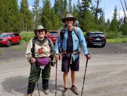
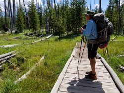
We got to the trailhead, and another hiker took our pictures. This was our “clean and fresh” picture.
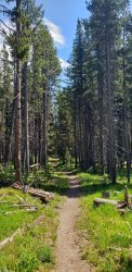
The trail was supposed to be approximately 4 miles of gentle up, and then 4 miles of less gentle down. Most of the first four miles were in woods.
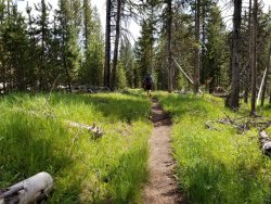
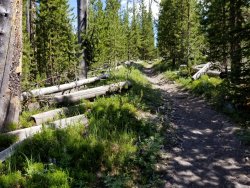
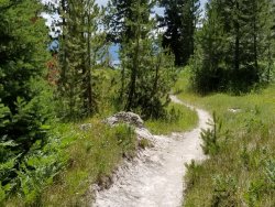
There were dead trees and downed trees, and flowers. The grade was gentle, and it was nice walking.
There were occasional meadows and streams.
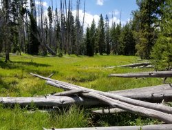
As we neared the four mile mark, there were a few views of what was to come.
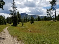
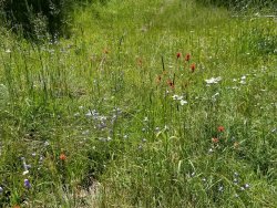
The flowers were quite nice.
A little view, and then back into trees.
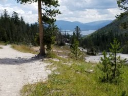
Woah. We’re going *there*!
It looked like a golf course with a lot of sand traps.
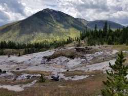
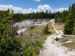
Just a little closer. The trail goes down this drainage. It’s called Witch’s Creek, and as with many things named in the 1800’s, by rough and tumble men, if it refers to the devil or witches, it’s an area or formation they thought was other-worldly. This valley is sprinkled with thermal features, and it was a treat to hike through.
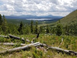
The trail was less gentle going down than it had been going up, but it was manageable. Maybe I was distracted by the scenery, though.
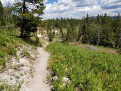
This was a large thermal formation. I could hear it breathe or roar or something. I’m guessing that in there somewhere is a fumarole.
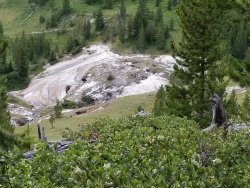
Oh yes, the lake’s still there. We were to camp on the right side of the lake.
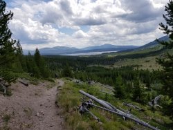
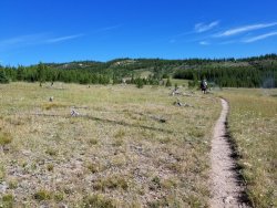
Most of the way down, the trail was in meadows. Most of the meadows had thermal features of some type.
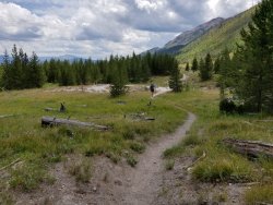
Hot springs.
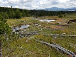
It seemed like we’d gone a couple of miles from the top, but we still had a long ways to go, or at least it looked like we did.
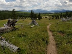
Another thermal pool.
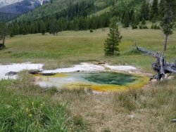
That’s Mount Sheridan. Waaaaay up on top is a fire tower. Kevin was going to go there tomorrow. I was going to drink coffee, stare intently at the lake or the mountain, or take a nap. That looks to be a long ways up there.
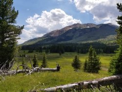
Pretty soon we saw the Ranger cabins. The cabins were all closed up, and no rangers appeared. We sat on the little bench out in front of the cabin, for a break, but soon enough moved on the little bit to the lake.
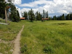
Heart Lake and Mount Sheridan. Our campsite would be a bit to the left of center, on the lake. It was about half a mile from here, or a little more.
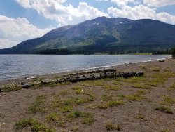
The trail went along the lake.
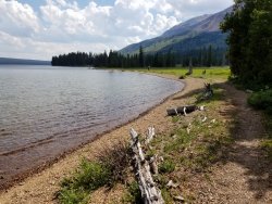
The trail to the campsite wandered among downed trees. At this point, there’s that mixture of tiredness, and interest in seeing exactly what the campsite offers. Some are wonderful, some not so much.
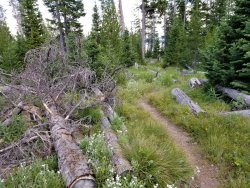
This was a nice site, with a view of mountains on the other side of the lake.
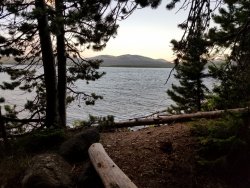
Last light of evening. (Sorry the horizon is crooked... the lake didn’t drain because of it.)
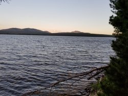
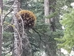
Kevin went to the top of Mount Sheridan the next day. I’ll let him post some pictures of that. Here are some things I found around camp. To me, this looks like Mistletoe.
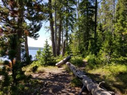
This was one of the trails through the campsite.
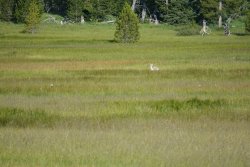
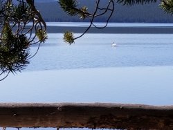
A swan came by to see what I was up to. I wasn’t up to anything, so the swan swam away.
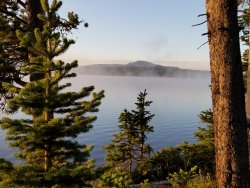
I sat and looked out over the lake. It was pretty restful.
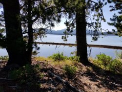
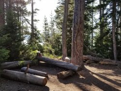
The camp kitchen was near the lake, but not on the lake.
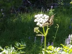
I had a visitor.
The view from inside my tent, as the sun was setting.
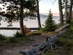
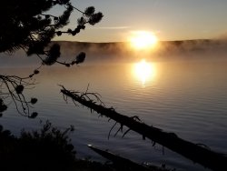
The view on the final morning. We had decided we would get up “early,” pack, and hike to the ranger station for breakfast. Then, while it was hopefully still cool, we would assault the hill.
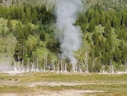
As we left our campsite, and headed toward the ranger station, we saw the geyser go off. That’’s the geyser that the volunteer lady said didn’t exist. The one that was described in the bad book. (Can you see me rolling my eyes? I thought you could.)
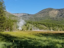
More of the non-existent geyser.
After we ate, we had to climb the hill. Kevin was in the lead—as usual.
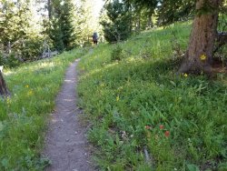
I’m not sure why this is half size. Oh well.
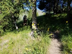
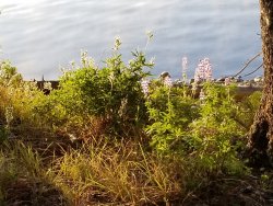
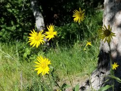
These flowers brightened the way.
At one point, a grouse fluttered past Kevin. This meant there were chicks around. It also meant there was a nutso of a mother grouse. She put on quite a display, and I thought she was going to attack both of us.
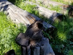
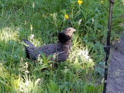
This is her “attack the shins” stance.
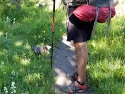
Progressing up the hill.
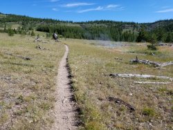
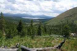
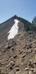
This is the last picture I have, though I have no idea why. I thought I took many more. I certainly used picture taking as an excuse to stop and breathe. We were to work our way to the white area in the top left, then disappear into the woods.
At the top of the hill we decided we would sit and eat lunch... looking back over the lake and the mountains. There were a few nice rest spots and we stopped and looked back at where we had been.
Back in the woods, Kevin stretched his legs and pulled away. I think he got to the trailhead about 20 minutes ahead of me, but it could have been more. I do know that when I got there, he had a cold can of Coke for me. After taking off my pack and dumping it in the trunk of the car, we headed off to Grant Village and had cheeseburgers and ice cream. I think we earned them.
We got to the trailhead, and another hiker took our pictures. This was our “clean and fresh” picture.

The trail was supposed to be approximately 4 miles of gentle up, and then 4 miles of less gentle down. Most of the first four miles were in woods.

There were dead trees and downed trees, and flowers. The grade was gentle, and it was nice walking.

There were occasional meadows and streams.


As we neared the four mile mark, there were a few views of what was to come.

The flowers were quite nice.

A little view, and then back into trees.

Woah. We’re going *there*!

It looked like a golf course with a lot of sand traps.


Just a little closer. The trail goes down this drainage. It’s called Witch’s Creek, and as with many things named in the 1800’s, by rough and tumble men, if it refers to the devil or witches, it’s an area or formation they thought was other-worldly. This valley is sprinkled with thermal features, and it was a treat to hike through.

The trail was less gentle going down than it had been going up, but it was manageable. Maybe I was distracted by the scenery, though.

This was a large thermal formation. I could hear it breathe or roar or something. I’m guessing that in there somewhere is a fumarole.

Oh yes, the lake’s still there. We were to camp on the right side of the lake.

Most of the way down, the trail was in meadows. Most of the meadows had thermal features of some type.

Hot springs.

It seemed like we’d gone a couple of miles from the top, but we still had a long ways to go, or at least it looked like we did.

Another thermal pool.

That’s Mount Sheridan. Waaaaay up on top is a fire tower. Kevin was going to go there tomorrow. I was going to drink coffee, stare intently at the lake or the mountain, or take a nap. That looks to be a long ways up there.

Pretty soon we saw the Ranger cabins. The cabins were all closed up, and no rangers appeared. We sat on the little bench out in front of the cabin, for a break, but soon enough moved on the little bit to the lake.

Heart Lake and Mount Sheridan. Our campsite would be a bit to the left of center, on the lake. It was about half a mile from here, or a little more.

The trail went along the lake.

The trail to the campsite wandered among downed trees. At this point, there’s that mixture of tiredness, and interest in seeing exactly what the campsite offers. Some are wonderful, some not so much.

This was a nice site, with a view of mountains on the other side of the lake.

Last light of evening. (Sorry the horizon is crooked... the lake didn’t drain because of it.)

Kevin went to the top of Mount Sheridan the next day. I’ll let him post some pictures of that. Here are some things I found around camp. To me, this looks like Mistletoe.

This was one of the trails through the campsite.

A swan came by to see what I was up to. I wasn’t up to anything, so the swan swam away.

I sat and looked out over the lake. It was pretty restful.

The camp kitchen was near the lake, but not on the lake.

I had a visitor.

The view from inside my tent, as the sun was setting.

The view on the final morning. We had decided we would get up “early,” pack, and hike to the ranger station for breakfast. Then, while it was hopefully still cool, we would assault the hill.


As we left our campsite, and headed toward the ranger station, we saw the geyser go off. That’’s the geyser that the volunteer lady said didn’t exist. The one that was described in the bad book. (Can you see me rolling my eyes? I thought you could.)

More of the non-existent geyser.

After we ate, we had to climb the hill. Kevin was in the lead—as usual.

I’m not sure why this is half size. Oh well.

These flowers brightened the way.

At one point, a grouse fluttered past Kevin. This meant there were chicks around. It also meant there was a nutso of a mother grouse. She put on quite a display, and I thought she was going to attack both of us.


This is her “attack the shins” stance.

Progressing up the hill.

This is the last picture I have, though I have no idea why. I thought I took many more. I certainly used picture taking as an excuse to stop and breathe. We were to work our way to the white area in the top left, then disappear into the woods.

At the top of the hill we decided we would sit and eat lunch... looking back over the lake and the mountains. There were a few nice rest spots and we stopped and looked back at where we had been.
Back in the woods, Kevin stretched his legs and pulled away. I think he got to the trailhead about 20 minutes ahead of me, but it could have been more. I do know that when I got there, he had a cold can of Coke for me. After taking off my pack and dumping it in the trunk of the car, we headed off to Grant Village and had cheeseburgers and ice cream. I think we earned them.
Last edited:

