GSMNP The Jumpoff May 2025

shredhiker

Member
Joined
Feb 14, 2023
Messages
171
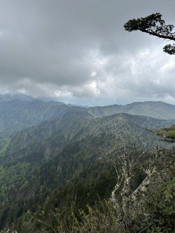
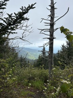
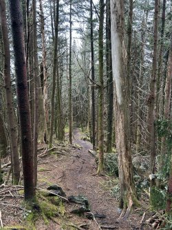
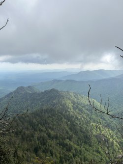
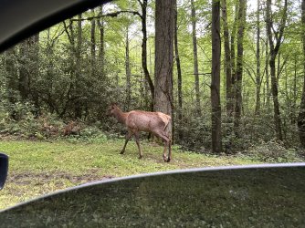
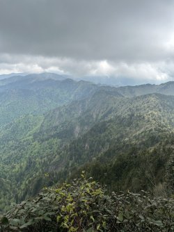
I decided to make the couple hour drive up to the Smoky Mountains this morning, and set out for a day hike on the AT. I started from the Newfound Gap trailhead, and decided to hop off that AT corridor to check out a spot I'd looked at in satellite images called "the jump off" which offers a nice view across the valley below looking at Charlies Bunion. Beautiful view with a lot more solitude, I'm glad I finally checked it out.

One way, this is about 3.2 miles & 1,700' of elevation gain.
IMG_0165.jpeg
IMG_0159.jpegIMG_0153.jpegIMG_0166.jpegIMG_0157.jpegIMG_0147.jpeg
 
That is a great hike. I assume tons of dayhikers since every time I have been through there the parking lot is stuffed. Were there many people camping at the Icewater Shelter?
 
That is a great hike. I assume tons of dayhikers since every time I have been through there the parking lot is stuffed. Were there many people camping at the Icewater Shelter?
I started out around 8am on a week day, so I only crossed paths with a couple of other day hikers until the end of the hike. I actually saw more backpackers for the most part. This route actually had me getting off the main corridor about a quarter mile before the ice water spring shelter.

Most of the people filling that parking lot seem to be just stopping to take photos at the overlook & leaving shortly after. That's one of the reasons I like using that trailhead, you can pretty much always circle the lot a time or two and find parking.
 
1700 feet of elevation gain? Whooooeeeeee. I did that once, long ago, and in thinking back, it felt like 1700. And, when I got to the top, I got a quick view, including Ice Water Springs Shelter below us, and then the clouds closed in and there was only white. I’ve done to the intersection with the Boulevard Trail three times (to go to Le Conte once, and continue on the AT twice), and each time, going from Newfound to that intersection, I’m pretty sure I’m going to die. But it’s always worth the climb.

I’m glad you posted pictures of the trip. I miss the Smokys a lot. I went to UTK, and snuck into the park every chance I could. Thank you for sharing.
I've hiked Mt LeConte & Myrtle Point on a few different occasions now, and always got socked in with clouds & fog by the time we made it up there. Maybe next time I'll see what that view actually looks like. Hopefully I'll make it up to the park a few more times this year, I have some flexibility now to go on a week days when the crowds are a bit less intense.

The elevation is challenging, but not terrible. My buddies and I have a route in Yosemite planned for July that'll have us doing a 4k elevation day, so I'm trying to work my way back up to that without dying.
 

Don't like ads? Become a BCP Supporting Member and kiss them all goodbye. Click here for more info.

Back
Top